The best mountain hikes around Livo
4.8
(10)
103
hikers
7
hikes
Mountaineering around Livo offers diverse terrain in the Liro Valley, characterized by dramatic mountainous surroundings and lush greenery. The region features significant peaks like Monte Duria (2264 m) and Monte Cardinello (2521 m), providing challenging ascents. Alpine pastures and expansive views of the Valtellina Valley and Lake Como are common along the routes. The area's elevation, with the Alpine Lake Darengo at 1800 meters, contributes to its rugged landscape.
Best mountaineering routes around Livo
- The most popular mountaineering route is…
Last updated: May 24, 2026
5.0
(3)
23
hikers
11.7km
05:42
960m
960m
Hard mountaineering route. Very good fitness required. Sure-footedness, sturdy shoes and alpine experience required.
5.0
(1)
25
hikers
Hard mountaineering route. Very good fitness required. Mostly accessible paths. Sure-footedness required.

Sign up for free
5.0
(3)
24
hikers
7.82km
03:33
670m
670m
Hard mountaineering route. Good fitness required. Sure-footedness, sturdy shoes and alpine experience required.
5.0
(1)
16
hikers
Hard mountaineering route. Good fitness required. Sure-footedness, sturdy shoes and alpine experience required.
4.0
(1)
7
hikers
12.1km
05:47
960m
960m
Hard mountaineering route. Very good fitness required. Sure-footedness, sturdy shoes and alpine experience required.
Get access to more routes and recommendations from other explorers.
Sign up for free
Already have an account?
Our route recommendations are based on thousands of hikes, rides, and runs completed by other people on komoot.
Start today with a free account
Your next adventure awaits.
Login or Signup

Tips from the Community

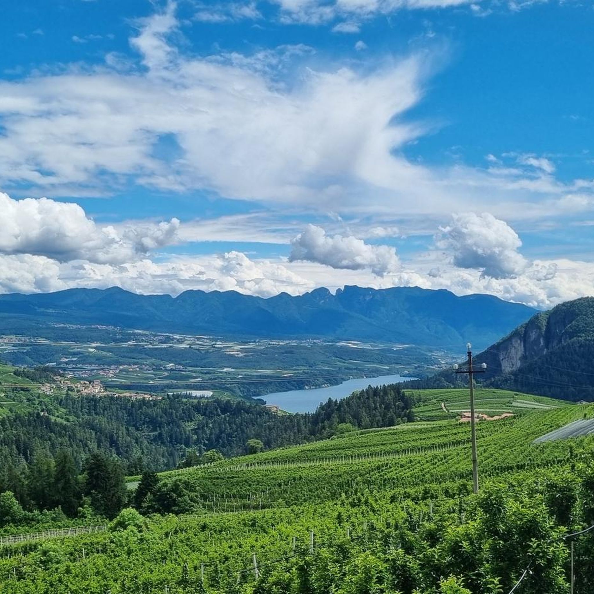
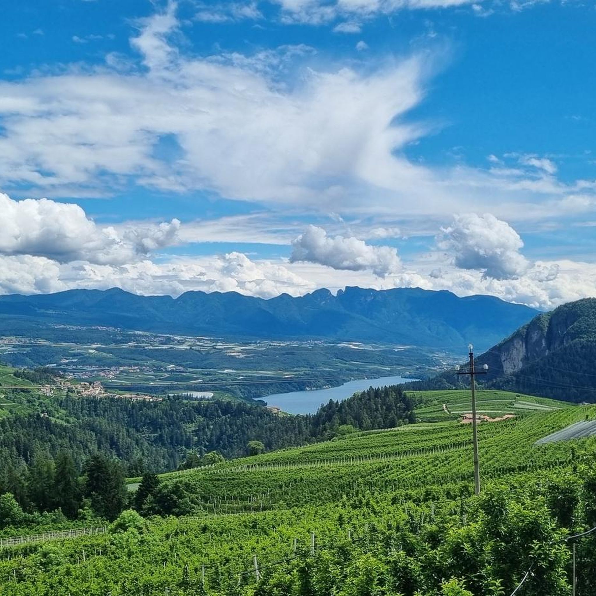
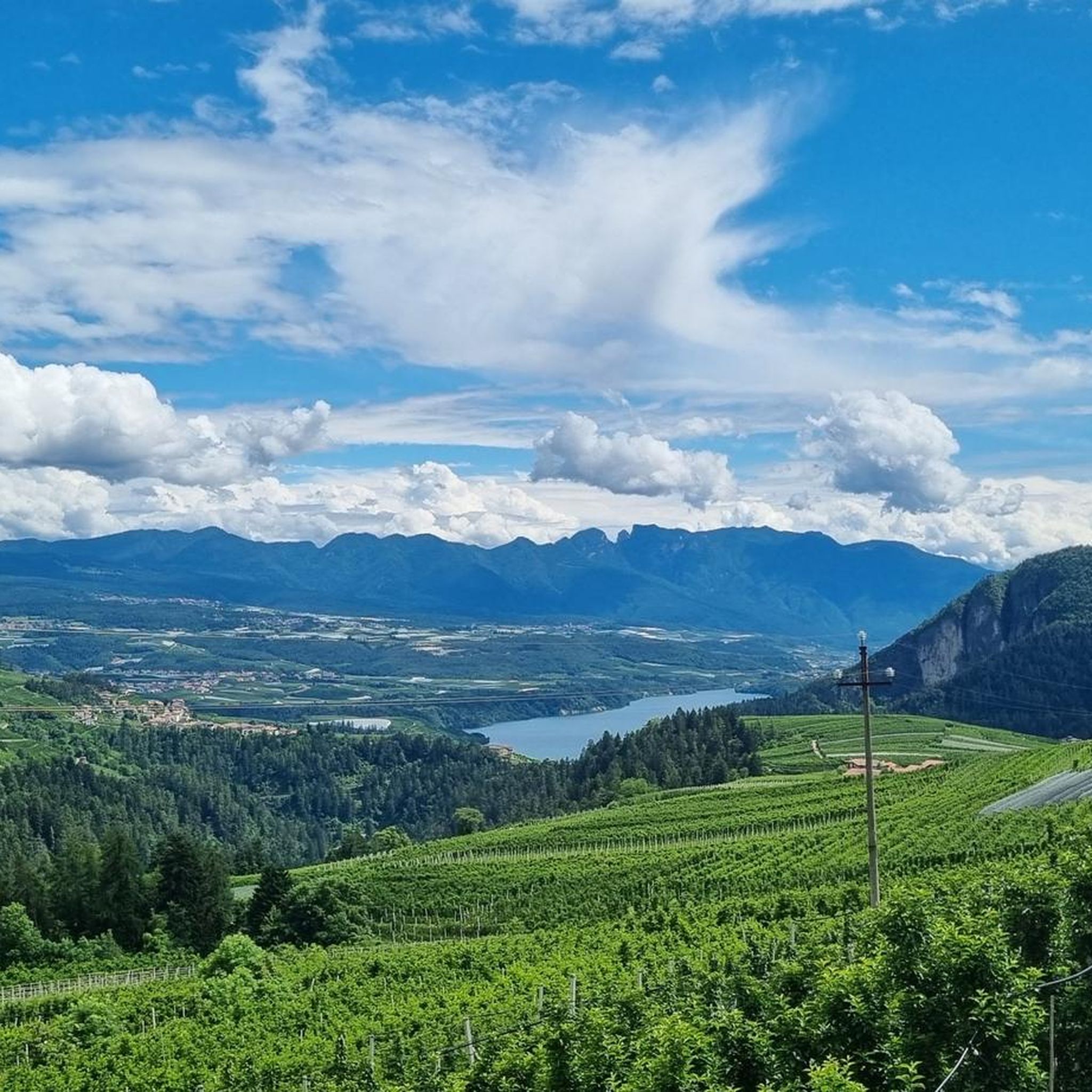
The Laugenspitze (Italian: Monte Luco) at 2,434 meters is the highest mountain in the Nonsberg Group in South Tyrol. The striking porphyry double peak consists of the Große Laugen (2,434 m) and the Kleine Laugen (2,297 m), which are separated by the picturesque Laugensee (2,182 m). Due to its freestanding location, it offers an excellent viewing platform over the Etschtal valley, the Meraner Land region, the Vinschgau valley, and as far as the Dolomites.
0
0

Wonderful view, children's playground, very good food
0
0

Great view, delicious Kaiserschmarrn
0
0
Kaiserschmarrn top, atmosphere great, schnapps great!
0
0

Easy hike suitable for everyone... Too bad about the fog that today prevented us from admiring the wonderful view from up here...
0
0
Beautiful walk suitable for everyone, including children, with truly spectacular views and landscapes, magical scenery and snow-capped peaks...
0
0
Frequently Asked Questions
What kind of terrain can I expect on mountaineering routes around Livo?
Mountaineering around Livo is characterized by dramatic mountainous surroundings, high alpine pastures, and expansive views of the Valtellina Valley and Lake Como. The routes often traverse wild valleys, featuring significant peaks like Monte Duria (2264 m) and Monte Cardinello (2521 m). You'll encounter diverse landscapes, from rugged climbs to serene lake areas.
How many mountaineering routes are available in Livo?
There are 7 mountaineering routes detailed for the Livo area. Most of these, 5 out of 7, are classified as difficult, offering challenging ascents for experienced mountaineers. There are also 2 moderate routes available.
What are some notable natural features or landmarks to look out for on these routes?
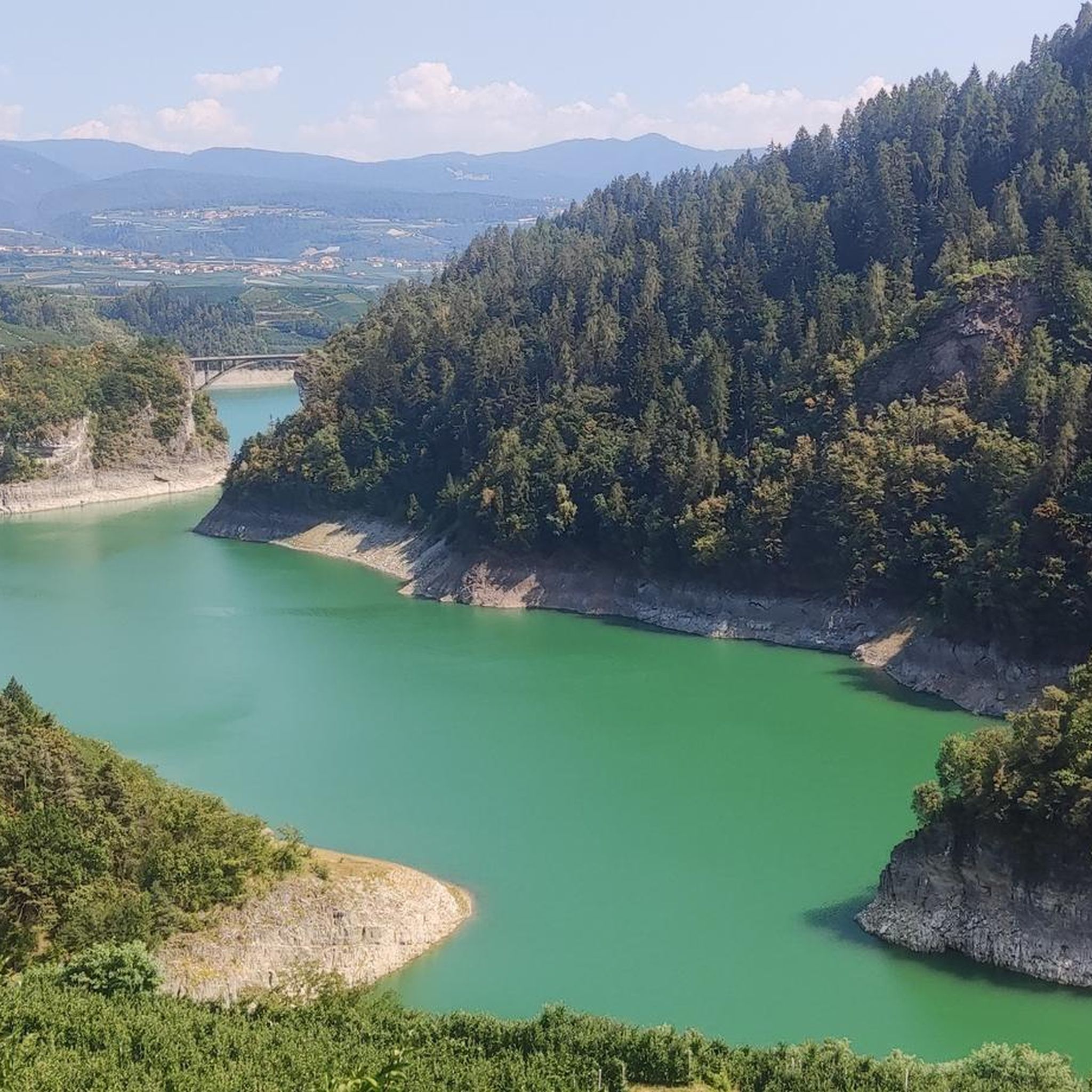
The Livo area is rich in natural beauty. You might encounter impressive waterfalls like Klapfberg Waterfall and Tret Waterfall. The region also features serene lakes such as Lake Santa Giustina and Lake Tavon, with the Alpine Lake Darengo at 1800 meters being a prominent feature in some areas. The enchanting old town of Livo itself offers historic charm with cobblestone streets and medieval architecture.
Are there any circular mountaineering routes in Livo?
Yes, several routes in Livo are circular. For instance, the challenging Spitzner Kornigl Summit – Schöngrubspitze loop from Passo Castrin - Hofmahdjoch is a 11.7 km route. Another option is the Laugen Summit Cross loop from Passo Castrin - Hofmahdjoch, which covers 12.7 km and offers panoramic views.
What is the best time of year for mountaineering in Livo?
Livo offers a dynamic environment for exploration. While specific seasonal advice for mountaineering isn't provided, the region's diverse trails are generally best enjoyed from late spring through early autumn when conditions are most favorable. Winter conditions can be challenging and require specialized gear and experience.
Are there any moderate mountaineering routes for those looking for a less strenuous challenge?
Yes, while most routes are difficult, there are 2 moderate mountaineering routes available in Livo. These offer a good balance of challenge and accessibility for those building up their experience or preferring a less intense ascent.
What do other mountaineers say about the routes in Livo?
The mountaineering routes in Livo are highly rated by the komoot community, with an average score of 4.8 stars from more than 5 reviews. Mountaineers often praise the dramatic mountainous surroundings, high alpine pastures, and expansive views of the Valtellina Valley and Lake Como.
Are there any routes that start near parking facilities?
Yes, some routes are accessible from parking areas. For example, the Hofmahd Parking Lot – Revò Hut loop from Passo Castrin - Hofmahdjoch explicitly mentions starting from a parking lot, making it convenient for those traveling by car.
How long do mountaineering routes in Livo typically take to complete?
The duration of mountaineering routes in Livo varies depending on the distance and elevation gain. For instance, the Spitzner Kornigl Summit – Schöngrubspitze loop takes approximately 5 hours 41 minutes, while the Bonacossa Trail – Gipfel der Ultner Hochwart loop can take around 5 hours 47 minutes. Shorter options, like the Hofmahd Parking Lot – Revò Hut loop, are closer to 3 hours 33 minutes.
Are there any options for families or those with dogs on the trails?
While the mountaineering routes in Livo are generally challenging and focused on alpine terrain, the broader region offers diverse trails. For specific family-friendly or dog-friendly options, it's recommended to check individual route details for suitability, as some demanding alpine sections may not be appropriate for all family members or pets.
What are the highest peaks accessible through mountaineering routes in Livo?
The Livo region features significant peaks that contribute to its challenging mountaineering landscape. Notable peaks include Monte Duria (2264 m) and Monte Cardinello (2521 m), offering substantial elevation gains and rewarding views for experienced mountaineers.
Most popular attractions around Livo

Get inspired with the komoot mobile app


Explore more
Browse the best Mountain Hikes & Routes in other regions.
