The best road cycling routes around Cis
3.7
(108)
3,075
riders
48
rides
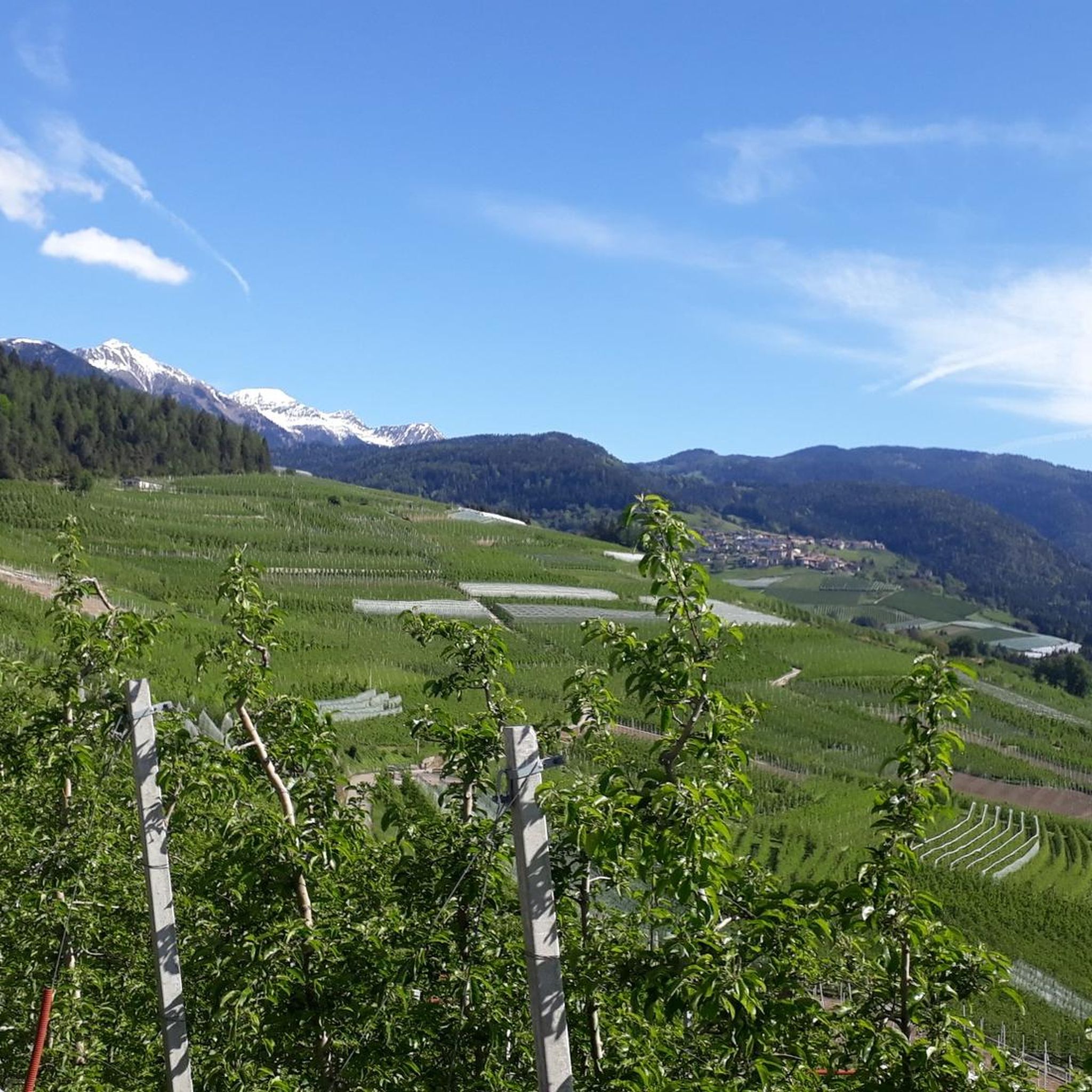
Road cycling routes around Cis traverse a landscape characterized by valleys, mountain passes, and lake views. The terrain includes significant ascents and descents, indicative of a region with varied elevation. Cyclists can expect routes that navigate through natural features such as the Val di Sole and Val di Non, offering diverse riding experiences. The region's geography provides a mix of moderate and challenging climbs.
Best road cycling routes around Cis
- The most popular road cycling route is Val di Sole…
Last updated: October 10, 2026
4.4
(19)
356
riders
52.8km
02:32
660m
660m
Moderate road ride. Good fitness required. Some segments of this route may be unpaved and difficult to ride.
1.0
(2)
91
riders
55.7km
03:19
1,410m
1,410m
Hard road ride. Very good fitness required. Some segments of this route may be unpaved and difficult to ride.

4.8
(9)
393
riders
146km
08:49
3,750m
3,750m
Hard road ride. Very good fitness required. Mostly well-paved surfaces and easy to ride.
4.8
(4)
186
riders
57.5km
03:19
1,300m
1,300m
Hard road ride. Very good fitness required. Mostly well-paved surfaces and easy to ride.
2.3
(6)
153
riders
79.2km
03:41
900m
900m
Moderate road ride. Good fitness required. Mostly well-paved surfaces and easy to ride.
Get access to more routes and recommendations from other explorers.
Already have an account?
Our route recommendations are based on thousands of hikes, rides, and runs completed by other people on komoot.
Start today with a free account
Your next adventure awaits.

Other adventures around Cis

Tips from the Community

Dreamlike very pleasant climb to ride, in a beautiful landscape!👍
0
0


A good place to start a tour.
2
0
They made a cycle path on the side, very beautiful, with a monument to the alpine troops.
0
0

Madonna di Campiglio lake. A series of roads and paths that start and end there.
0
0
Brenta Dolomites
0
0

Arriving at the Carlo Magno Pass, heading towards Madonna di Campiglio. A nice climb, albeit busy.
2
0

it is the military shrine dedicated to the Italian and Austrian fallen in various wars, in some cases found due to the melting of glaciers
1
0
Frequently Asked Questions
How many road cycling routes are available around Cis?
There are over 50 road cycling routes around Cis, offering a variety of experiences for different skill levels. The komoot community has explored these routes extensively, with nearly 3,000 road cyclists using komoot to navigate the area.
What kind of terrain can I expect when road cycling around Cis?
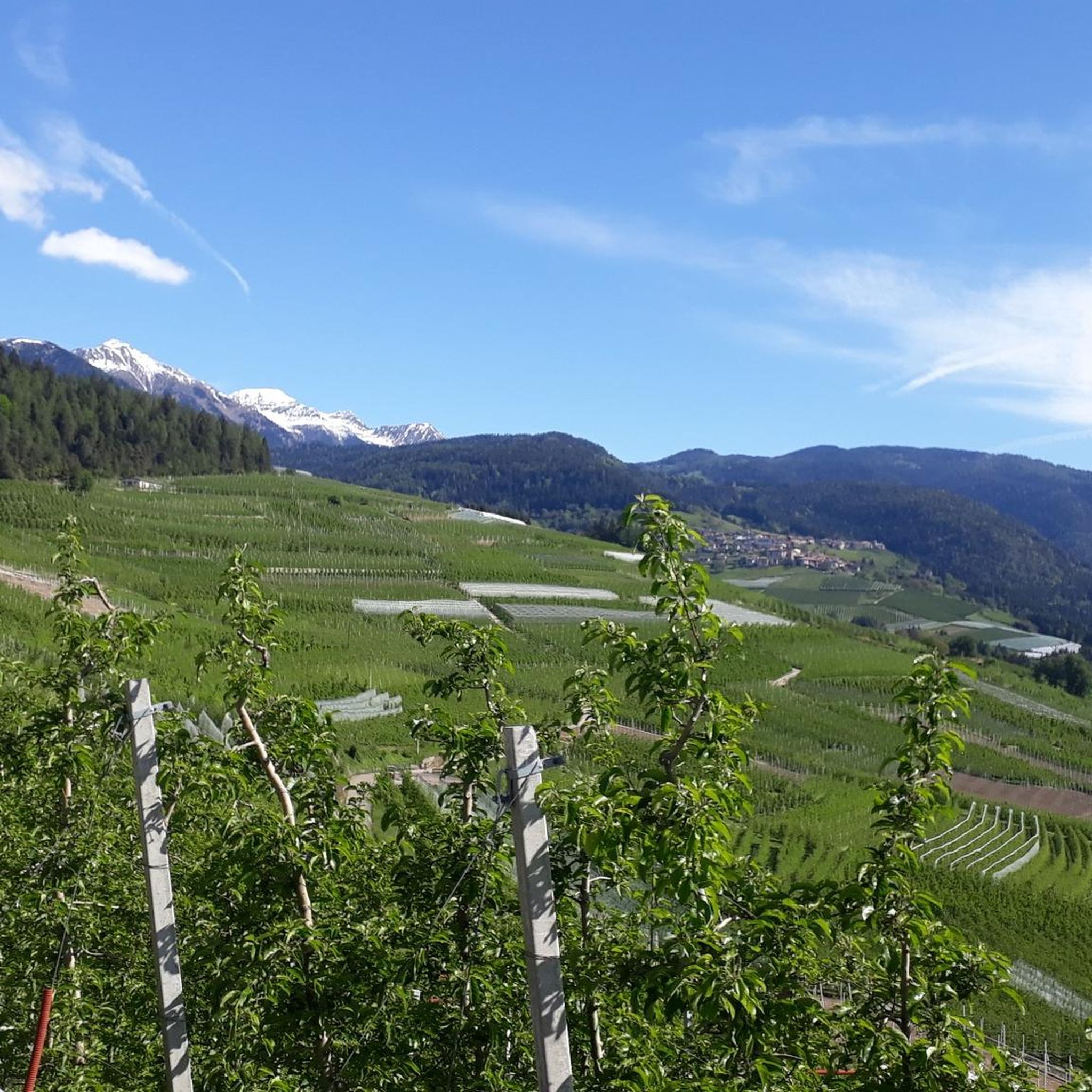
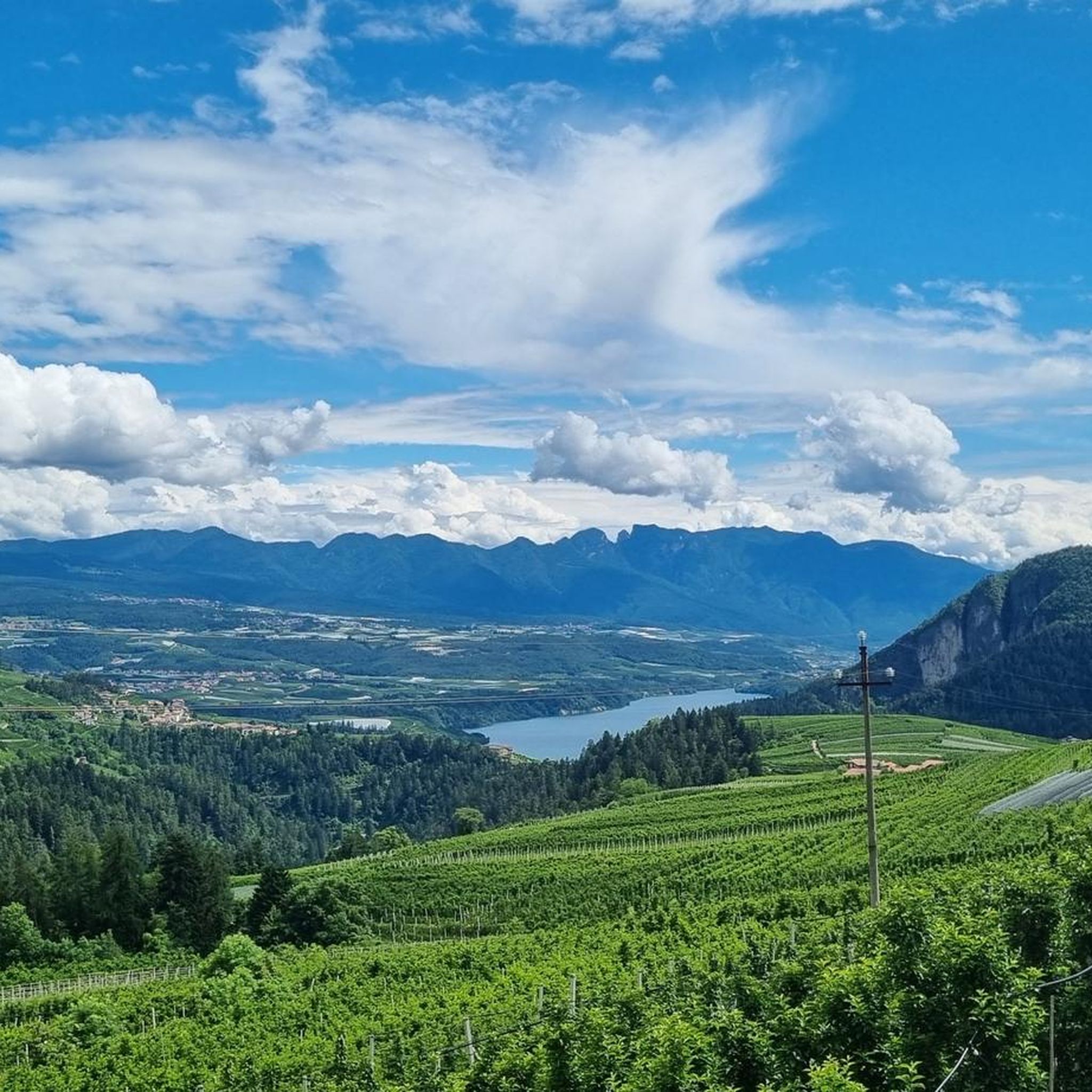
Road cycling routes around Cis are characterized by varied elevation, including significant ascents and descents. You can expect to traverse valleys, mountain passes, and enjoy lake views. The region's geography provides a mix of moderate and challenging climbs, with routes navigating through areas like the Val di Sole and Val di Non.
Are there challenging road cycling routes in Cis?
Yes, Cis offers several challenging road cycling routes. For instance, the Upper Val di Non Loop with Forcella di Brez Ascent is a difficult 34.6-mile (55.7 km) path featuring a significant climb. Another demanding option is the Tonale Pass – Cles Town Center loop from Cles, which covers 90.7 miles (146.0 km) and includes substantial elevation gain.
Are there easier road cycling routes for beginners or less experienced riders?
Yes, there are routes suitable for those seeking a more moderate experience. The Val di Sole Cycle Path is a popular moderate route, spanning 32.8 miles (52.8 km) and following a dedicated cycle path. Another moderate option is the View of Lago di Santa Giustina – Cles Town Center loop from Cles, which is 32.1 miles (51.6 km) long.
What do other cyclists say about road cycling in Cis?
The road cycling routes in Cis are highly rated by the komoot community, with an average score of 3.9 stars from over 100 reviews. Cyclists often praise the scenic valleys, challenging mountain passes, and diverse riding experiences available in the region.
Can I find loop trails for road cycling around Cis?
Many road cycling routes around Cis are designed as loops. Examples include the challenging Upper Val di Non Loop with Forcella di Brez Ascent and the longer Tonale Pass – Cles Town Center loop from Cles. For a moderate option, consider the Cles Town Center – Mezzocorona loop from Cles.
Are there any scenic viewpoints or landmarks along the road cycling routes?
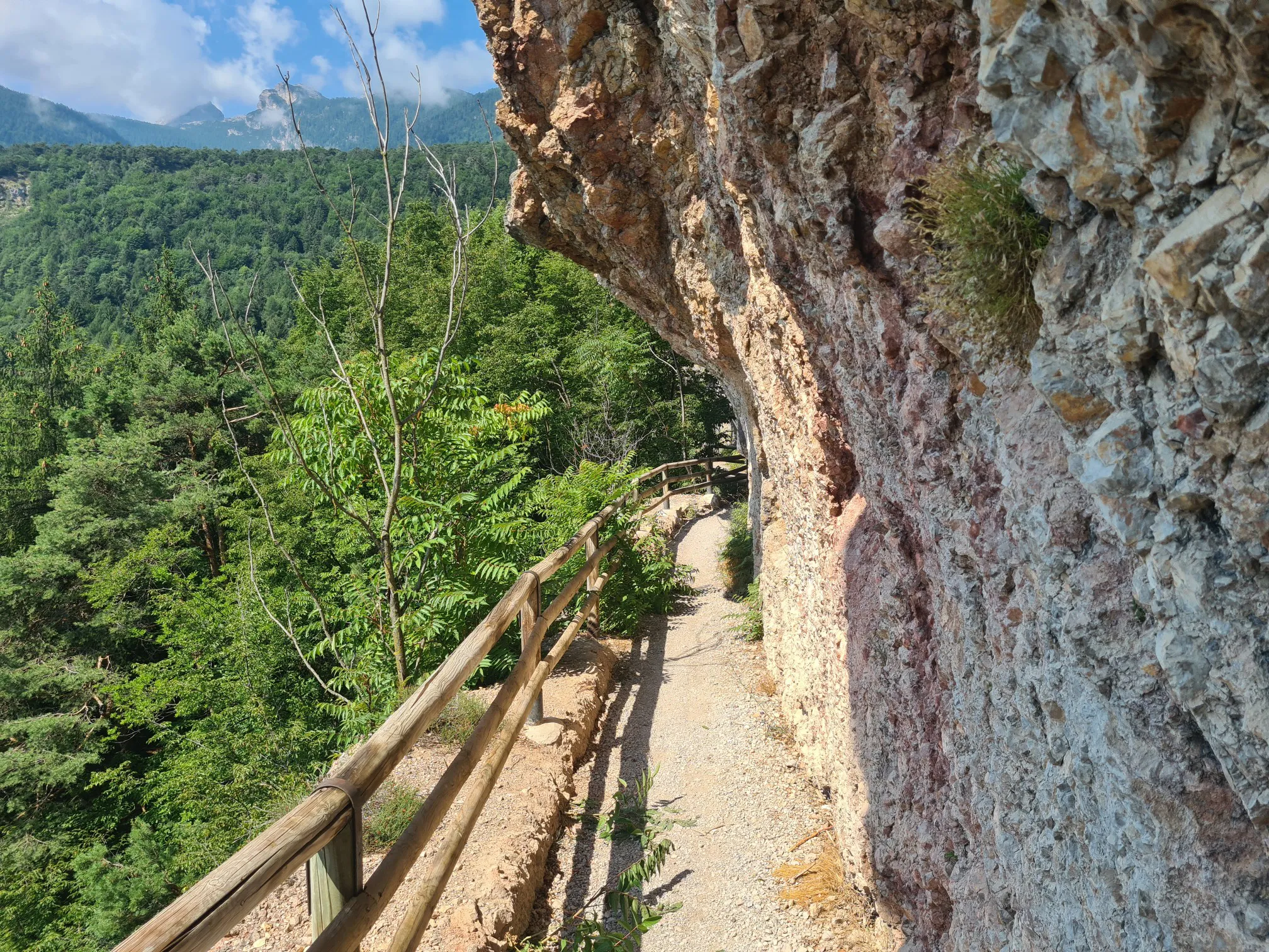
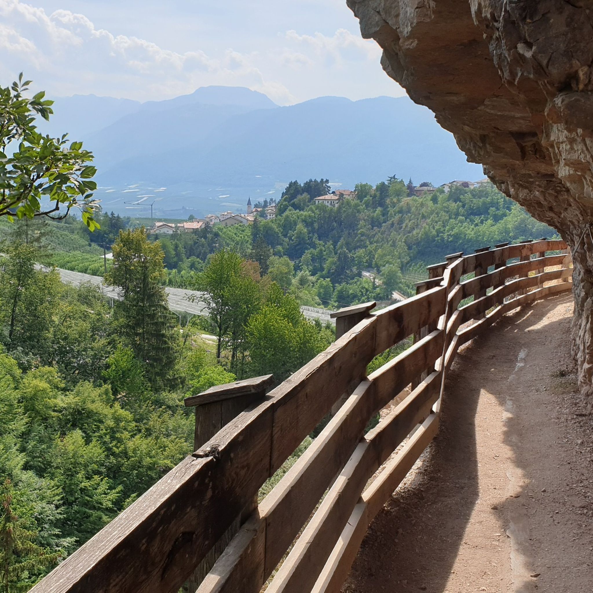
While cycling around Cis, you can encounter various natural and man-made landmarks. Highlights include the Novella Gorge – Parco Fluviale Novella, the historic Path in the Rock to San Romedio, and the impressive Mostizzolo Bridge over the Noce Stream. You might also find stunning vistas like the View on Mount Peller.
What kind of natural attractions can I explore near the road cycling routes?
The region around Cis offers several natural attractions. Cyclists can explore deep gorges such as the Rio San Romedio Gorge Trail and the Forest Pathway in the Ravine. There are also beautiful lakes like Goldlahnsee and prominent peaks such as Seespitze.
How long do road cycling routes around Cis typically take to complete?
The duration of road cycling routes around Cis varies significantly based on distance and difficulty. Moderate routes like the Val di Sole Cycle Path can take around 2 hours 30 minutes, while more challenging and longer routes, such as the Tonale Pass – Cles Town Center loop from Cles, might require nearly 9 hours.
Are there routes that offer a mix of valley riding and mountain ascents?
Yes, many routes in Cis combine valley riding with significant ascents. The region is known for its diverse geography, allowing cyclists to experience both the relatively flat terrain of valleys like Val di Sole and Val di Non, as well as challenging climbs over mountain passes, providing a well-rounded road cycling experience.
Most popular attractions around Cis

Get inspired with the komoot mobile app


Explore more
Browse the best Road cycling routes in other regions.
