The best walks and hikes around Malé
4.3
(306)
1,714
hikers
21
hikes
Hiking trails around Malé are characterized by varied terrain, including significant elevation changes and forested paths. The region features routes that ascend into the mountains, offering panoramic views and challenging climbs. Hikers can expect to navigate through valleys and along ridges, with trails ranging from moderate to difficult. The landscape provides opportunities for extended treks through natural environments.
Best hiking trails around Malé
- The most popular hiking route is Cimon di Bolentina Trail from Malé, a 8.8 miles (14.2 km) trail that takes 7 hours 42 minutes to complete. This difficult route features substantial elevation gain, leading to high viewpoints.
- Another top favourite among local hikers is View of San Valentino Church – Mas de la Cros loop from Croviana, a moderate 5.8 miles (9.4 km) path. This trail offers a balanced experience with notable ascents and scenic views of the surrounding area.
- Local hikers also love the Fucina di Malè loop from Malé, a 4.0 miles (6.5 km) trail leading through varied terrain, often completed in about 1 hour 49 minutes.
- Hiking around Malé is defined by mountainous ascents, forested sections, and valley paths. The network offers options for different ability levels, from easy loops to challenging mountain trails.
- The routes in Malé are highly rated by the komoot community with an average score of 4.3 stars from over 290 reviews. More than 1600 hikers have used komoot to explore Malé's varied terrain.
Last updated: May 10, 2026
5.0
(3)
28
hikers
14.2km
07:42
1,480m
1,480m
Tackle the difficult 8.8-mile hike from Malé to Sass de l'Anel ridge (via Trail 119) in Val di Sole, gaining 4865 feet of elevation.
3.3
(4)
37
hikers
9.40km
03:07
440m
450m
Moderate hike. Good fitness required. Mostly accessible paths. Sure-footedness required.

Sign up for free
4.0
(7)
30
hikers
6.54km
01:49
120m
120m
Easy hike. Great for any fitness level. Easily-accessible paths. Suitable for all skill levels.
4.8
(4)
82
hikers
11.5km
04:53
870m
880m
Moderate hike. Good fitness required. Mostly accessible paths. Sure-footedness required.
4.3
(3)
18
hikers
13.9km
06:54
1,220m
1,220m
Hard hike. Very good fitness required. Mostly accessible paths. Sure-footedness required.
Get access to more routes and recommendations from other explorers.
Sign up for free
Already have an account?
Our route recommendations are based on thousands of hikes, rides, and runs completed by other people on komoot.
Start today with a free account
Your next adventure awaits.
Login or Signup
Popular around Malé
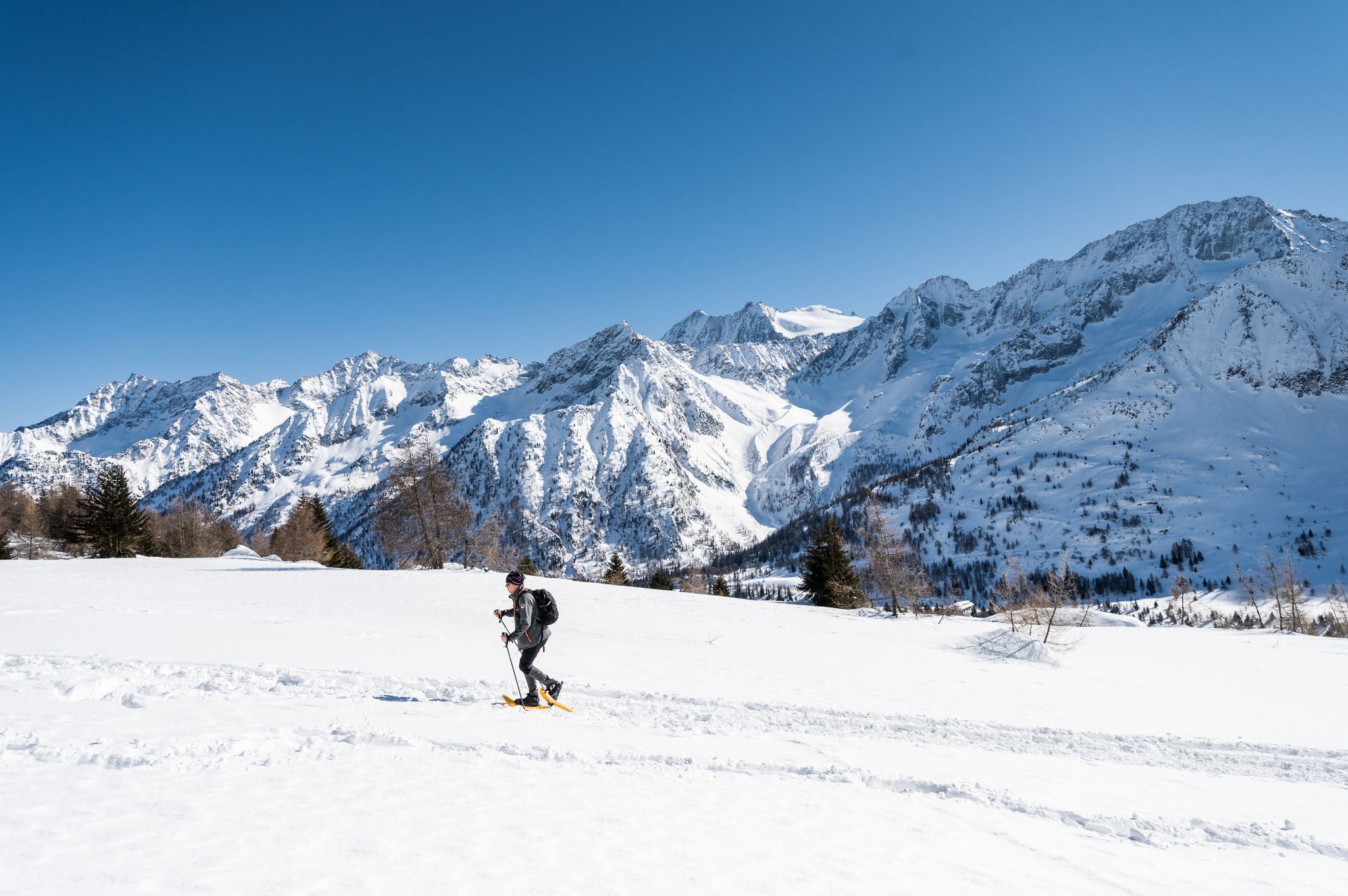
Ten snowshoe hikes in Italy’s Val di Sole
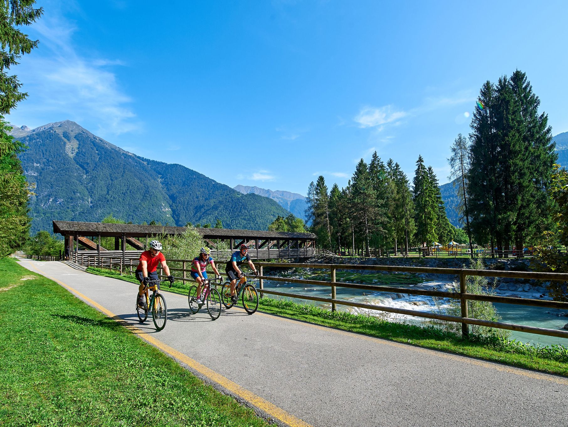
Trentino castles, villages and valleys – DoGa Cycle Route
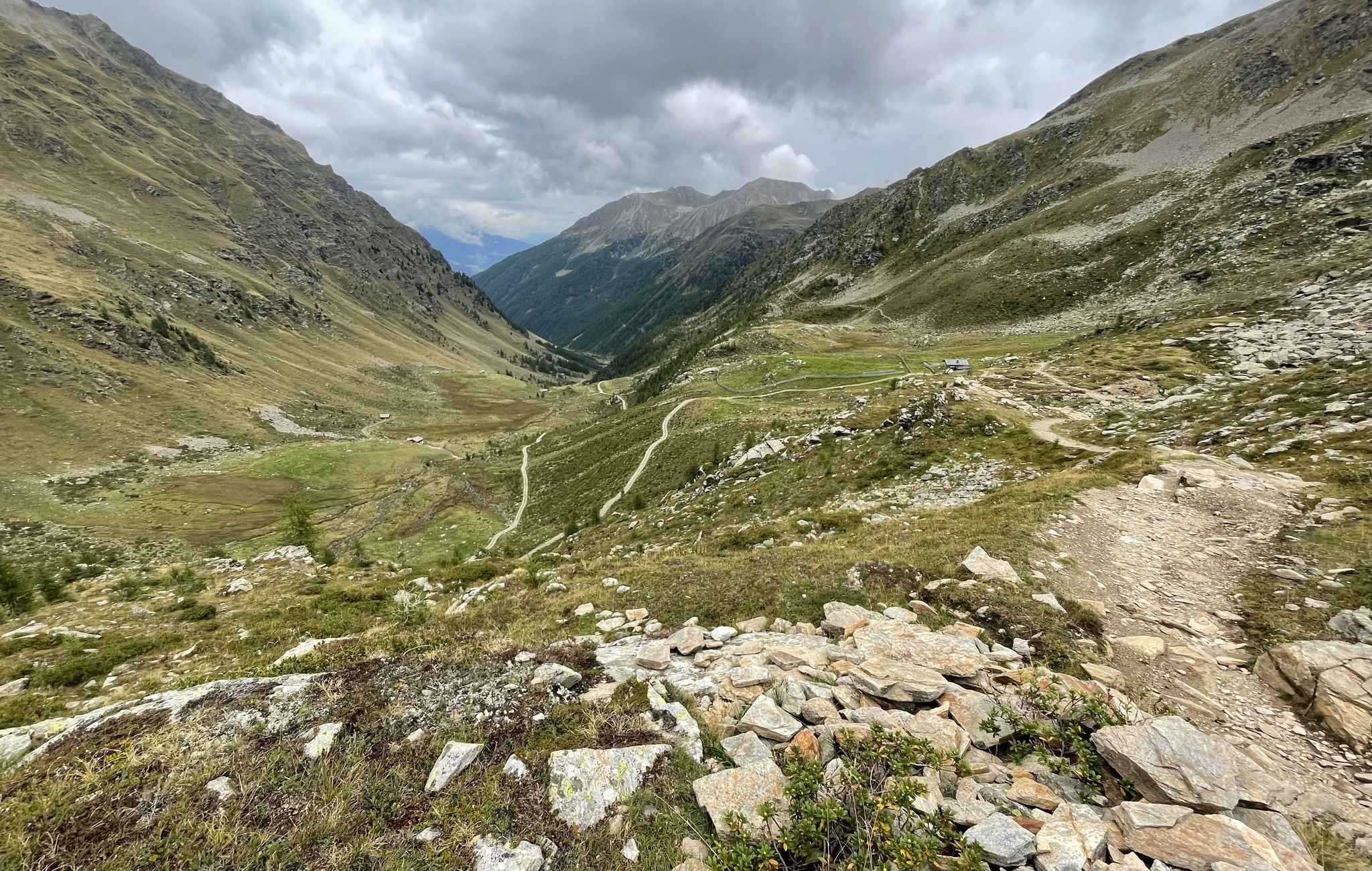
Between rocks and glaciers in Italy – Tour of Ortles by MTB
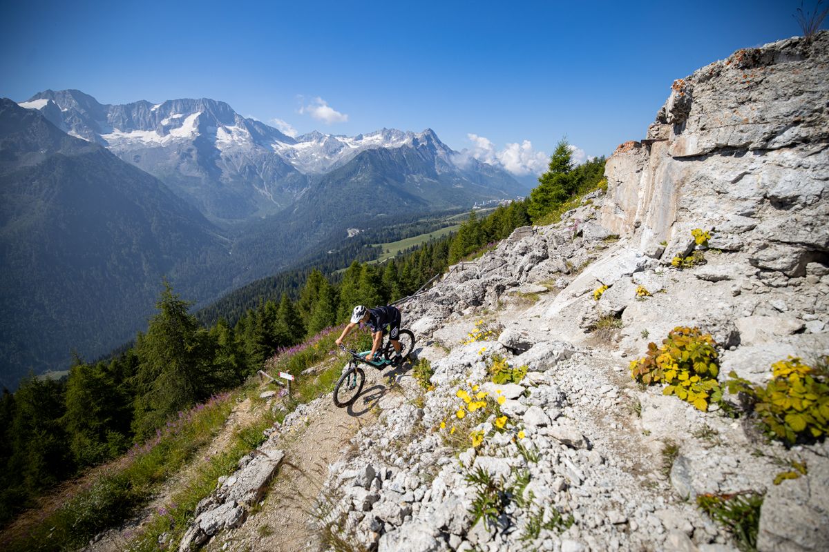
Make your MTB heart beat faster – Tours and trails in Italy’s Val di Sole
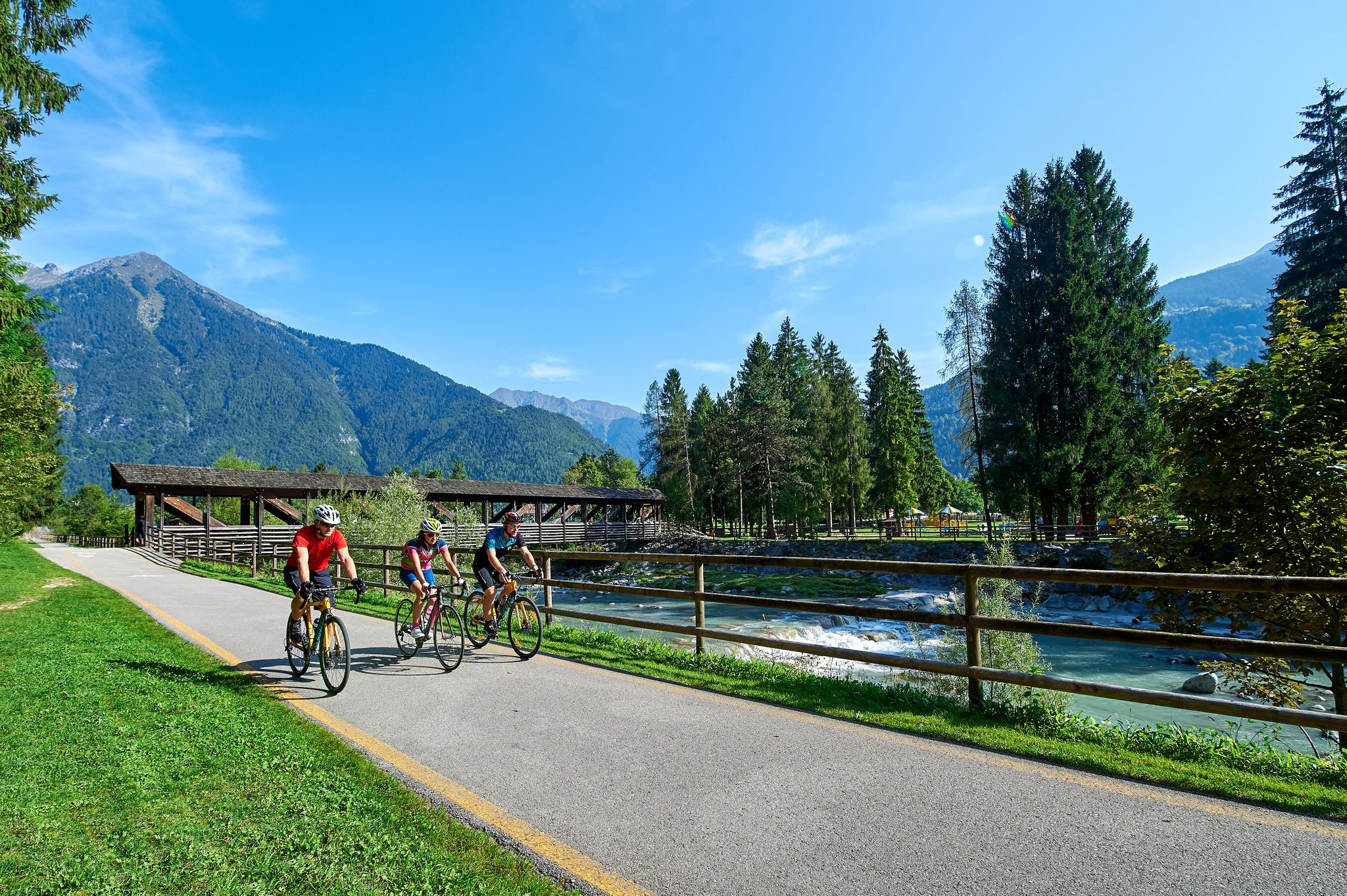
From the Dolomites to Lake Garda – the DoGa cycle trail
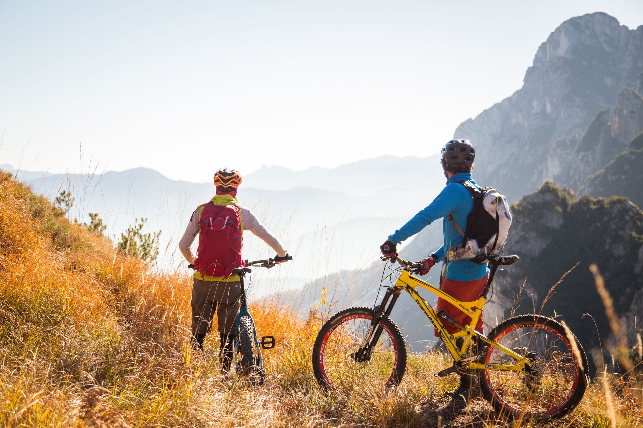
Fantastic autumnal cycling routes through Trentino – Italy’s MTB hotspot
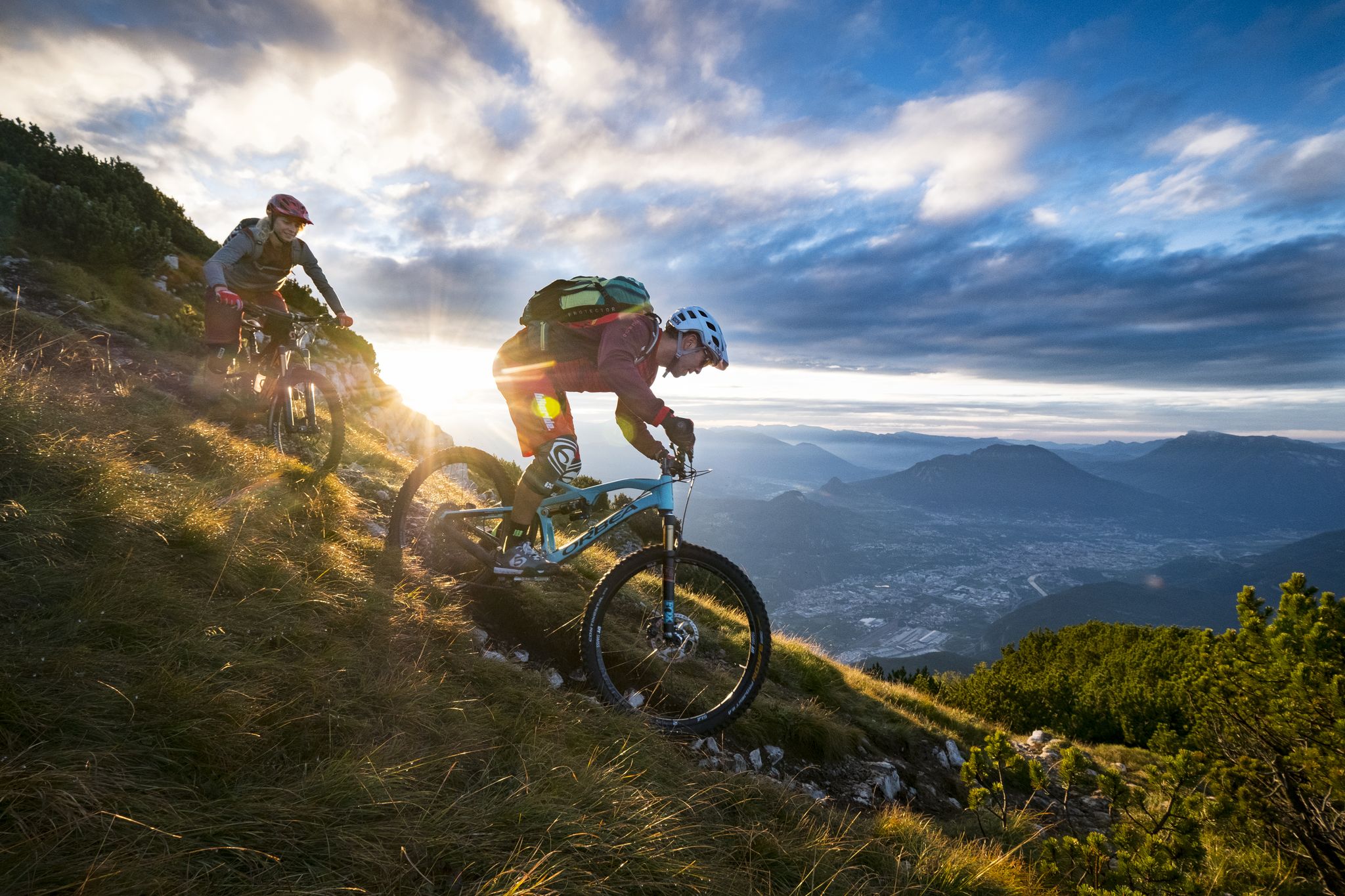
Mountain Biking in Trentino — from the Dolomites to Lake Garda

Gravel biking around Malé
Road Cycling Routes around Malé
Cycling around Malé
Other adventures around Malé


Tips from the Community

The Sega locality offers a magnificent view of the lower Val di Sole. The small wooden farm, Mas de la Serra, makes the snow-covered panorama even more idyllic.
1
0
The Bolentina Bassa hut is located at around 1,500 meters above sea level in a small clearing in the woods that surround it. From here, you can enjoy an unmissable panoramic view of the Val di Rabbi.
2
0
The Mas de la Cros hut is located at around 1,600 meters above sea level. In the background, the Cimon di Bolentina stands out with its summit cross. In addition to offering excellent panoramic views, this is the ideal place to enjoy a sleigh ride. The farm also offers typical mountain products which are truly delicious.
2
0

The church of Santa Maria, the most beautiful in Malé, is located in the same square as the Chapel of San Valentino and dates back to the 15th century. It features a bell tower with a large clock.
1
0

Churches in such mountain locations simply have a special charm. During your bike tour, I definitely recommend stopping here for a moment.
0
0

An old forge that was first mentioned in writing in 1880, but is probably 200 years older. Opening times between the beginning of July and the beginning of September from Thursday to Monday from 10 a.m. to 12 p.m. and 3 p.m. to 6 p.m.
1
0
Frequently Asked Questions
How many hiking trails are available around Malé?
There are over 20 hiking trails around Malé, offering a diverse range of experiences from easy walks to challenging mountain ascents. The komoot community has explored more than 20 routes in the area.
Are there easy hiking trails suitable for beginners around Malé?
Yes, Malé offers several easy hiking options. For instance, the Fucina di Malè loop from Malé is an easy 4.0-mile (6.5 km) trail that can be completed in about 1 hour 49 minutes, leading through varied terrain.
What are some popular circular hikes around Malé?
Many trails around Malé are designed as loops, allowing you to start and end in the same location. A popular moderate option is the View of San Valentino Church – Mas de la Cros loop from Croviana, which is 5.8 miles (9.4 km) long and offers scenic views.
What kind of terrain can I expect on hikes around Malé?
Hiking around Malé is characterized by mountainous ascents, forested sections, and valley paths. You can expect varied terrain, including significant elevation changes, making for engaging and often challenging climbs into the mountains.
What do other hikers enjoy most about the trails in Malé?
The trails in Malé are highly rated by the komoot community, with an average score of 4.3 stars from over 290 reviews. Hikers often praise the region's varied terrain, the challenging mountain ascents, and the panoramic views from high viewpoints.
Are there any family-friendly hiking routes in Malé?
While many routes involve significant elevation, there are easier options suitable for families. The Fucina di Malè loop from Malé is an easy trail that provides a good introduction to the area's natural beauty without extreme difficulty.
What are some notable natural attractions or landmarks to see while hiking near Malé?
The region around Malé is rich in natural beauty. You can explore stunning lakes such as Lake Malghette, Lake of the Roe Deer, and Lake Tovel. For those seeking mountain views, highlights like Stablasolo Alpine Hut and Cima Collecchio Summit offer impressive vistas.
Are there any challenging hikes for experienced trekkers in Malé?
Absolutely. For experienced trekkers, the Cimon di Bolentina Trail from Malé is a difficult 8.8-mile (14.2 km) route with substantial elevation gain, leading to high viewpoints and taking approximately 7 hours 42 minutes to complete.
What is the longest hiking trail available around Malé?
One of the longer and more challenging routes is the Cimon di Bolentina Trail from Malé, which spans 8.8 miles (14.2 km) and involves significant elevation changes, typically requiring over 7 hours to complete.
Can I find moderate difficulty hikes in Malé?
Yes, there are several moderate trails. The View of San Valentino Church – Malga Mas de la Cros loop from Croviana is a moderate 9.8 km (6.1 miles) route that offers a balanced experience with notable ascents and scenic views.
Are there any trails that offer views of San Valentino Church?
Yes, the View of San Valentino Church – Mas de la Cros loop from Croviana is a popular moderate trail that provides scenic views of the surrounding area, including San Valentino Church.
Most popular attractions around Malé

Get inspired with the komoot mobile app


Explore more
Browse the best Hikes in other regions.
