The best walks and hikes around San Michele All'Adige
4.5
(2055)
11,410
hikers
21
hikes
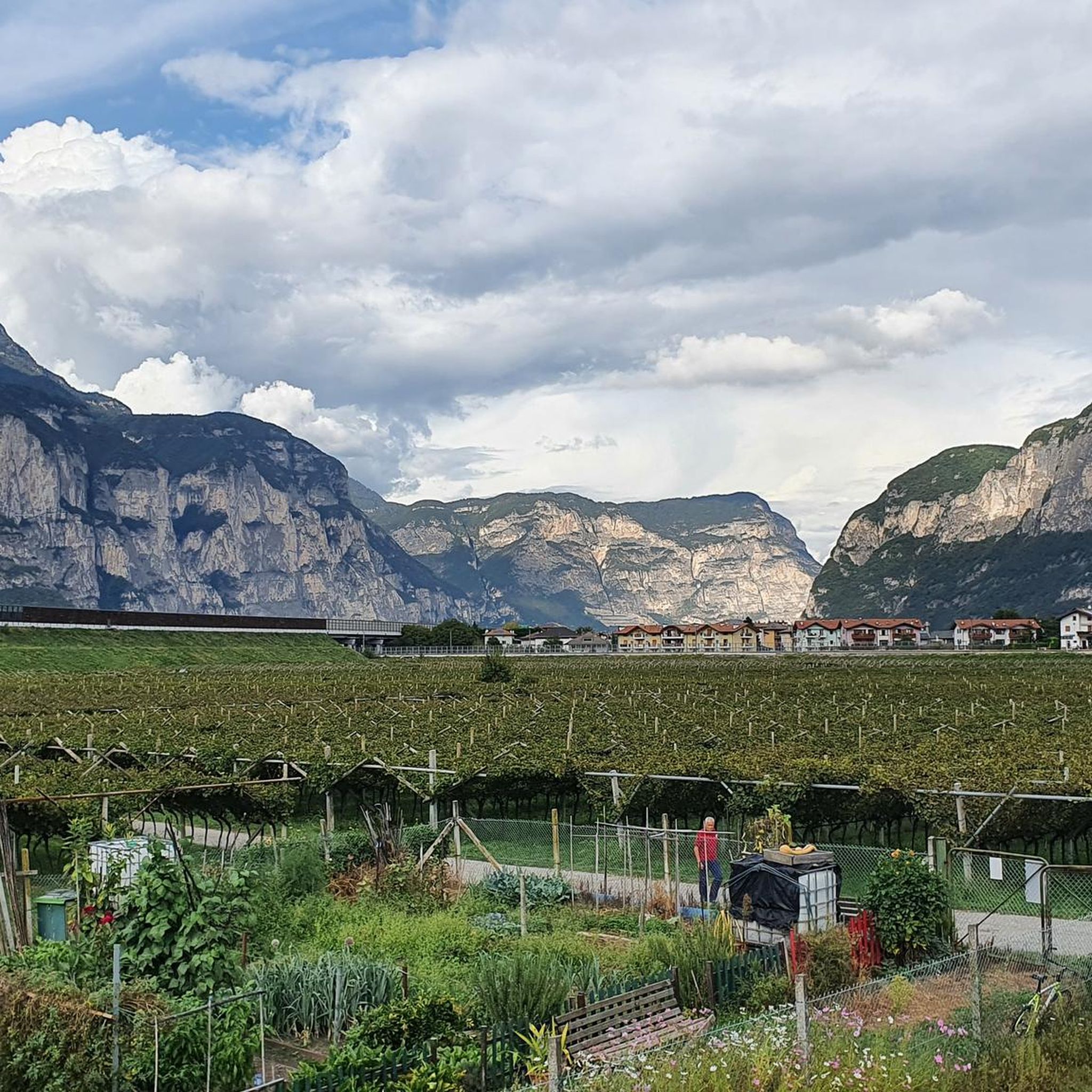
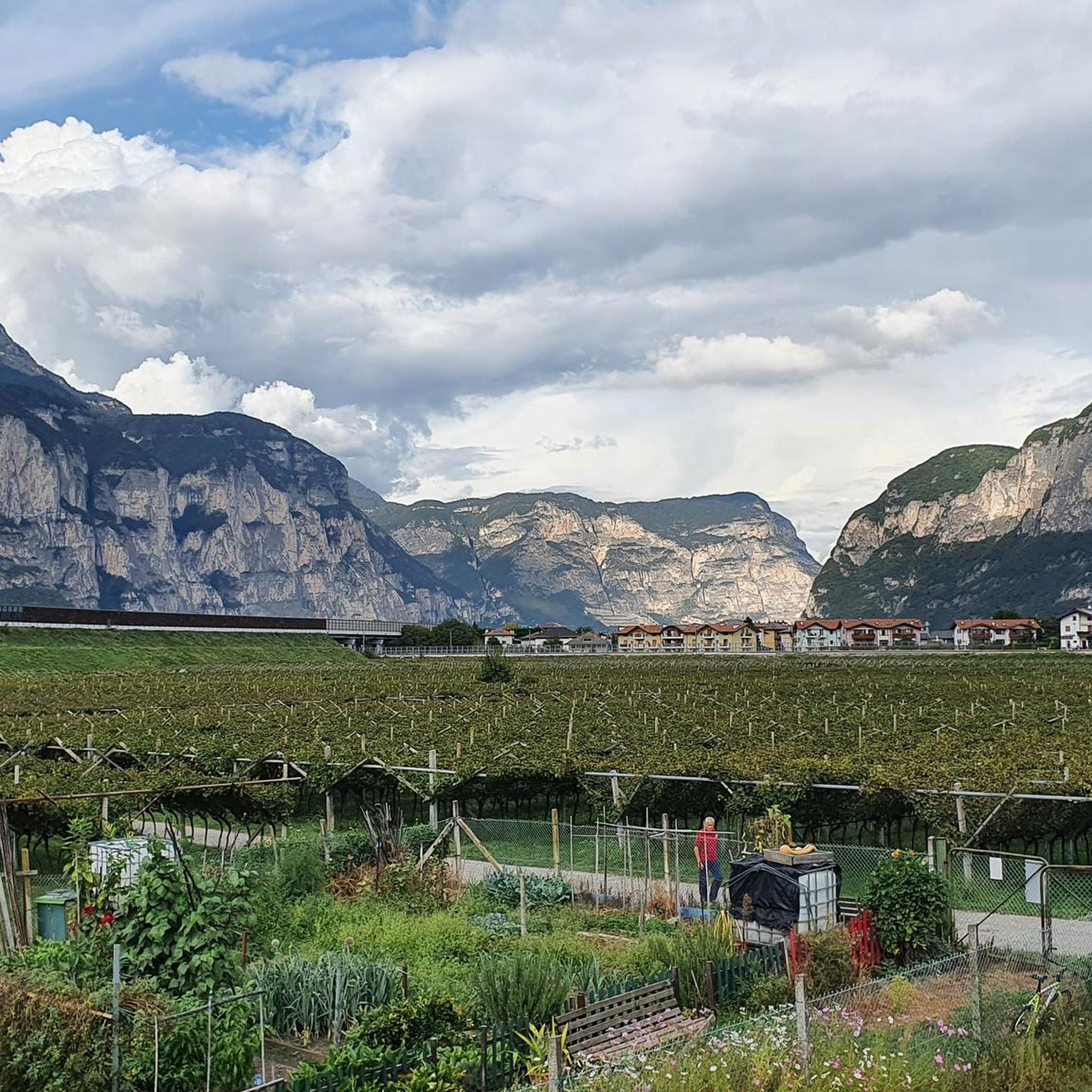
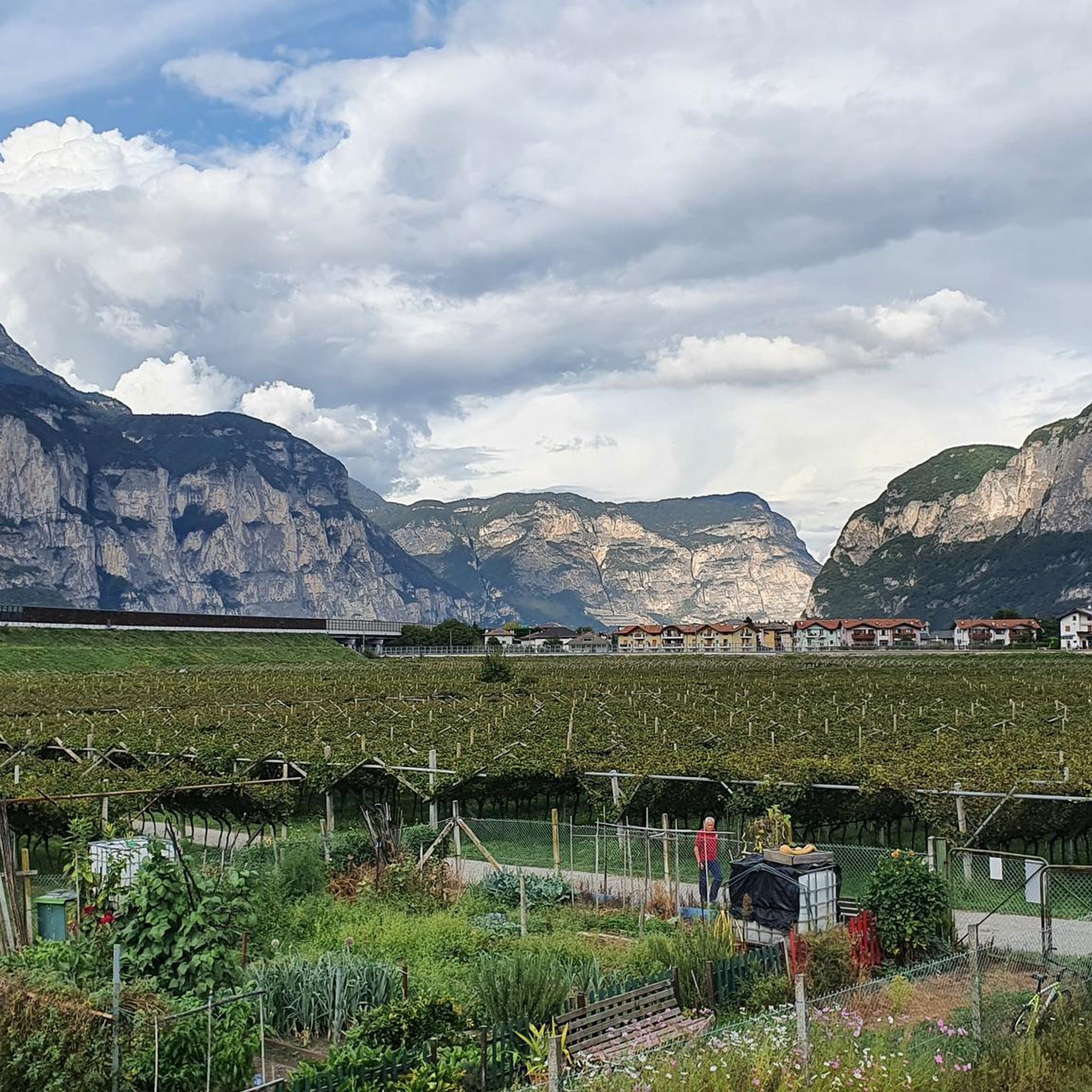
Hiking around San Michele All'Adige offers diverse terrain within the Adige Valley, characterized by its river plains, surrounding hills, and vineyards. The region features a mix of forested slopes and open areas, providing varied elevation changes. Trails often lead to viewpoints overlooking the Rotaliana Plain and connect to higher ground like Lago Santo.
Best hiking trails around San Michele All'Adige
- The most popular hiking route is Trail 414 to Lago Santo from San Michele, a 10.4 miles (16.7 km)…
Last updated: August 26, 2026
6
hikers
16.7km
05:42
880m
880m
Trail 414 climbs from Adige Valley vineyards through mountain forests to pristine Lago Santo.
5.0
(2)
16
hikers
Hard hike. Very good fitness required. Mostly accessible paths. Sure-footedness required.

Sign up for free
3.8
(4)
8
hikers
9.61km
03:04
400m
400m
Moderate hike. Good fitness required. Easily-accessible paths. Suitable for all skill levels.
17
hikers
Easy hike. Great for any fitness level. Easily-accessible paths. Suitable for all skill levels.
5.0
(2)
14
hikers
Moderate hike. Good fitness required. Easily-accessible paths. Suitable for all skill levels.
Get access to more routes and recommendations from other explorers.
Sign up for free
Already have an account?
Our route recommendations are based on thousands of hikes, rides, and runs completed by other people on komoot.
Start today with a free account
Your next adventure awaits.
Login or Signup
Popular around San Michele All'Adige
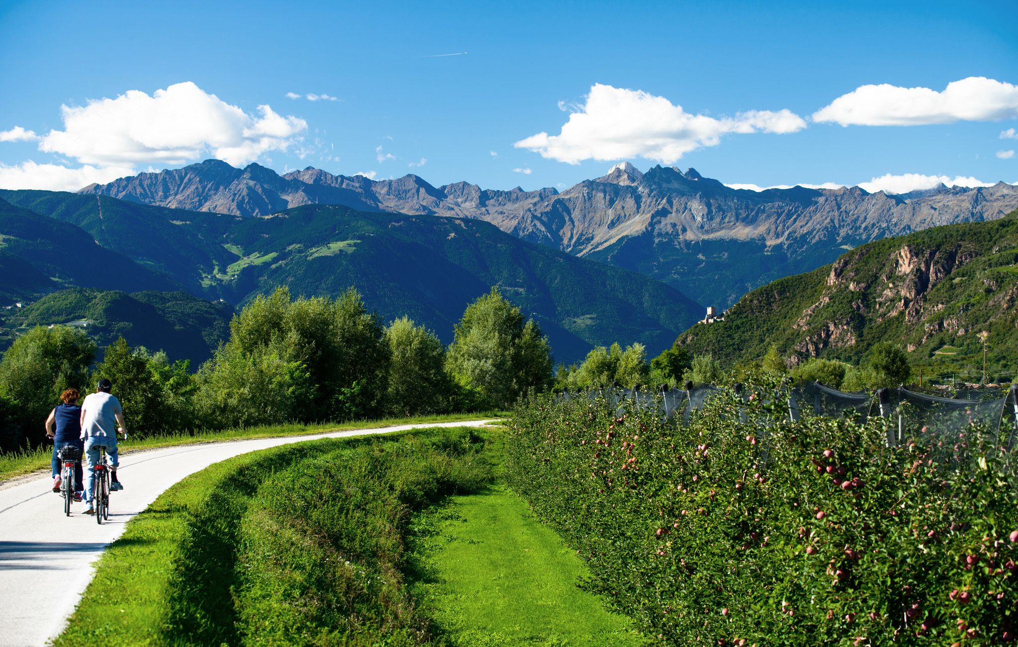
Adige Valley Cycle Path – Through South Tyrol

The most beautiful spring cycle rides on the South Tyrolean Wine Road
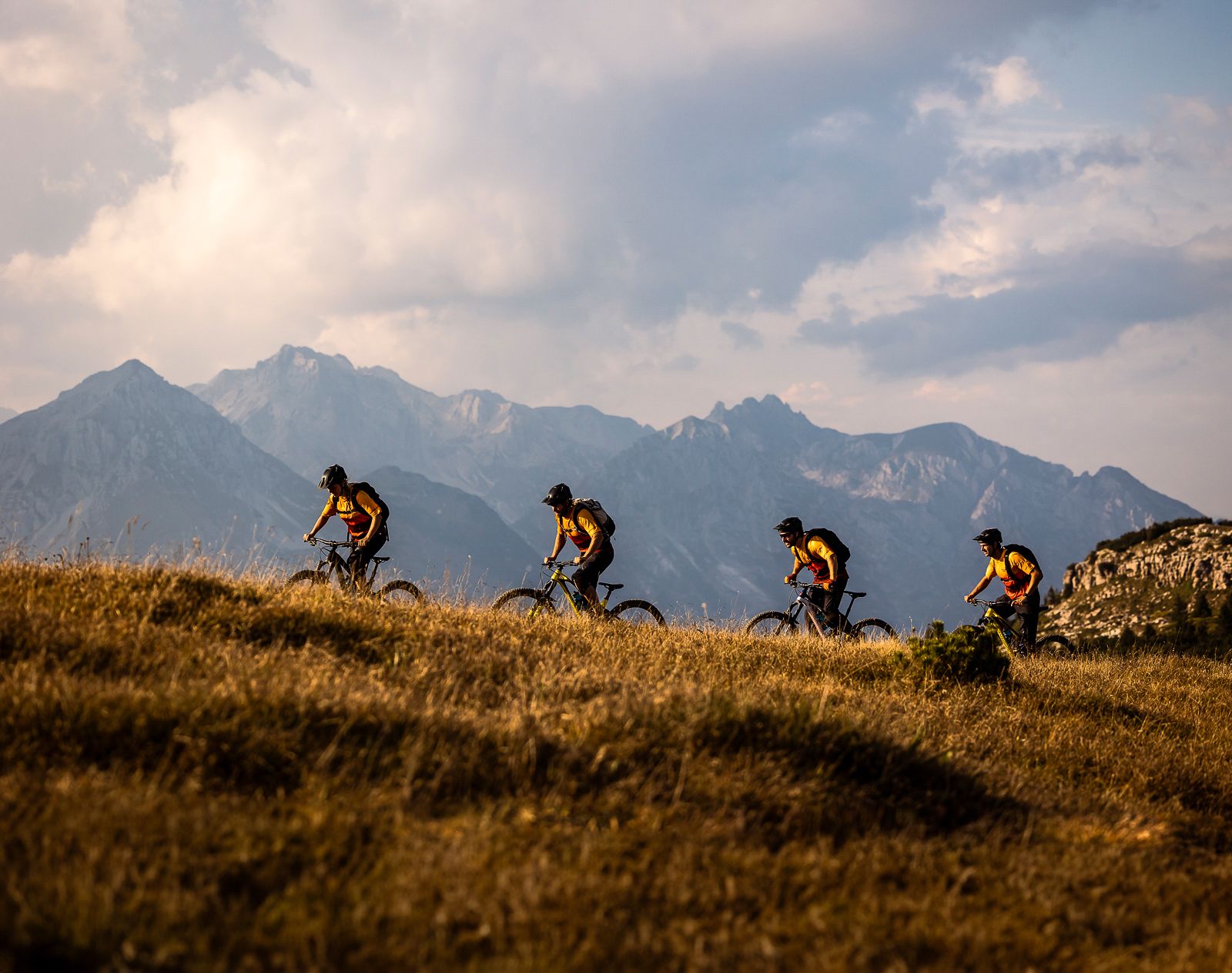
Trails and vineyards in the Dolomiti Paganella Bike Area
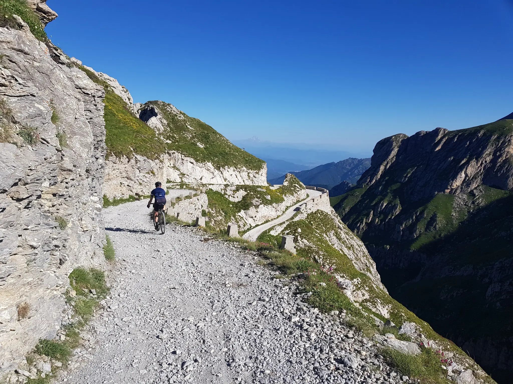
From the boot’s toe to the heel – the most beautiful cycling Tours in Italy
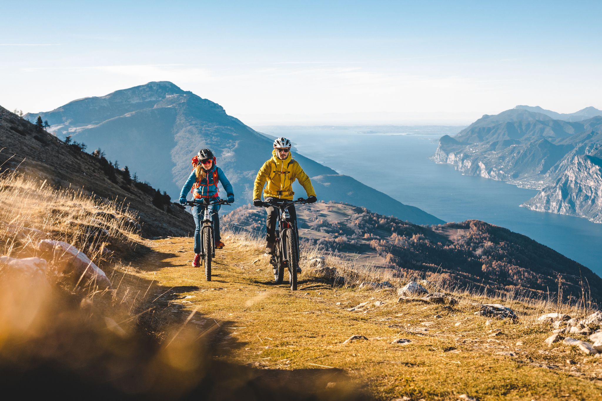
Mountain biking in Trentino in Italy – 10 varied routes
Road Cycling Routes around San Michele All'Adige
Cycling around San Michele All'Adige
MTB Trails around San Michele All'Adige
Running Trails around San Michele All'Adige

Gravel biking around San Michele All'Adige
Other adventures around San Michele All'Adige


Tips from the Community

Etschradweg cycle path is child's play
3
0

I have never stopped in this museum but you pass by it if you want to go to the pine forest of Faedo then Masen or to go and play the champion
0
0

Route for experienced and well-trained hikers, with significant slopes.
0
0
one of the cycle paths with the most endless straights 😅
0
0

excellent view of the valley below, you can also get there by cable car
0
0
challenging trail, sure-footedness required, short sections equipped but not difficult
0
0
The trail is challenging, but if you prefer, you can take the cable car up and from there it's just over 1000m of elevation gain to the summit of Roccapiana, offering spectacular views.
0
0
Great spot to relax and enjoy a breathtaking view 🤗
0
0
Frequently Asked Questions
How many hiking trails are available around San Michele All'Adige?
There are over 20 hiking trails around San Michele All'Adige, offering a variety of experiences from easy strolls to more challenging ascents. The komoot community has rated these routes highly, with an average score of 4.5 stars.
Are there easy hiking options suitable for beginners or casual walkers?
Yes, San Michele All'Adige offers several easy hiking options. For instance, the Cacciatora loop from Grumo - San Michele is an easy 2.8-mile (4.5 km) trail that provides a pleasant walk with minimal elevation gain.
What are some challenging hikes for experienced trekkers?
For experienced trekkers, the region offers demanding routes with significant elevation. The Trail 414 to Lago Santo from San Michele is a difficult 10.4-mile (16.7 km) hike with substantial climbing, leading to the scenic Lago Santo.
Are there any circular walks around San Michele All'Adige?
Yes, many trails in the area are circular, allowing you to start and end at the same point. An example is the Benches With Panoramic View – Mezzocorona Cable Car loop from Grumo - San Michele, a difficult 7.8-mile (12.6 km) path offering panoramic views.
What natural attractions can I see along the hiking trails?
The region around San Michele All'Adige is rich in natural beauty. You can explore highlights such as the unique Segonzano Pyramids, or visit serene bodies of water like Lamar Lake and Lake Santa Colomba.
Is San Michele All'Adige suitable for family-friendly walks?
Yes, there are several routes suitable for families, particularly the easier trails that traverse the valley floor or vineyard areas. These paths often have less elevation and are shorter in duration, making them ideal for all ages.
Can I bring my dog on the hiking trails?
Generally, dogs are welcome on most hiking trails in the San Michele All'Adige area, provided they are kept on a leash and you clean up after them. Always check local signage for any specific restrictions, especially in nature reserves or protected areas.
What is the best time of year to go hiking in San Michele All'Adige?
The best time for hiking in San Michele All'Adige is typically from spring through autumn (April to October). During these months, the weather is generally mild and pleasant, and the vineyards and landscapes are at their most vibrant. Summer can be warm, so early morning or late afternoon hikes are recommended.
Are there any viewpoints offering scenic vistas of the Rotaliana Plain?
Absolutely. Many trails ascend the hills surrounding the valley, providing stunning views. The View of Faedo – View of the Rotaliana Plain loop from Grumo - San Michele is a moderate 5.9-mile (9.5 km) trail specifically known for its panoramic outlooks over the Rotaliana Plain and the village of Faedo.
How accessible are the trailheads by public transport?
San Michele All'Adige has some public transport connections, including bus services that can reach certain villages and starting points for hikes. The Mezzocorona Cable Car, for example, provides access to higher trails and is a popular option for hikers.
Are there places to eat or drink near the hiking routes?
Yes, the region is known for its wine production, and you'll find various wineries, agriturismi, and local restaurants in San Michele All'Adige and surrounding villages like Grumo and Faedo. These establishments often offer local cuisine and refreshments, perfect for a post-hike meal.
What do other hikers enjoy most about hiking in San Michele All'Adige?
The area is highly rated by the komoot community, with an average score of 4.5 stars from over 1,700 reviews. Hikers often praise the diverse terrain, from river plains and vineyards to forested slopes, and the rewarding views over the Adige Valley and Rotaliana Plain.
Most popular routes around San Michele All'Adige
Most popular attractions around San Michele All'Adige

Get inspired with the komoot mobile app


Explore more
Browse the best Hikes in other regions.
