The best mountain hikes around Comano Terme
4.8
(845)
6,780
hikers
98
hikes
Mountaineering routes around Comano Terme are situated in the Trentino region of Italy, between the Brenta Dolomites and the northern end of Lake Garda. This area is characterized by the dramatic peaks of the Brenta Dolomites, a UNESCO World Heritage site, and the diverse landscapes of the Adamello Brenta Nature Park. The terrain includes challenging rock walls, high mountain passes, and deep river gorges carved by the Sarca River, offering varied environments for mountaineering.
Best mountaineering routes around Comano Terme
…Last updated: October 9, 2026
4.7
(16)
147
hikers
6.41km
04:46
700m
700m
Hard mountaineering route. Good fitness required. Sure-footedness, sturdy shoes and alpine experience required.
4.7
(9)
59
hikers
5.03km
04:00
540m
530m
Hard mountaineering route. Good fitness required. Sure-footedness, sturdy shoes and alpine experience required.

5.0
(2)
57
hikers
12.9km
06:02
1,080m
1,080m
Hard mountaineering route. Very good fitness required. Sure-footedness, sturdy shoes and alpine experience required.
4.9
(8)
44
hikers
8.77km
05:05
720m
720m
Hard mountaineering route. Very good fitness required. Sure-footedness, sturdy shoes and alpine experience required.
5.0
(1)
45
hikers
4.09km
01:24
170m
170m
Hard mountaineering route. Great for any fitness level. Sure-footedness, sturdy shoes and alpine experience required.
Get access to more routes and recommendations from other explorers.
Already have an account?
Our route recommendations are based on thousands of hikes, rides, and runs completed by other people on komoot.
Start today with a free account
Your next adventure awaits.
Popular around Comano Terme
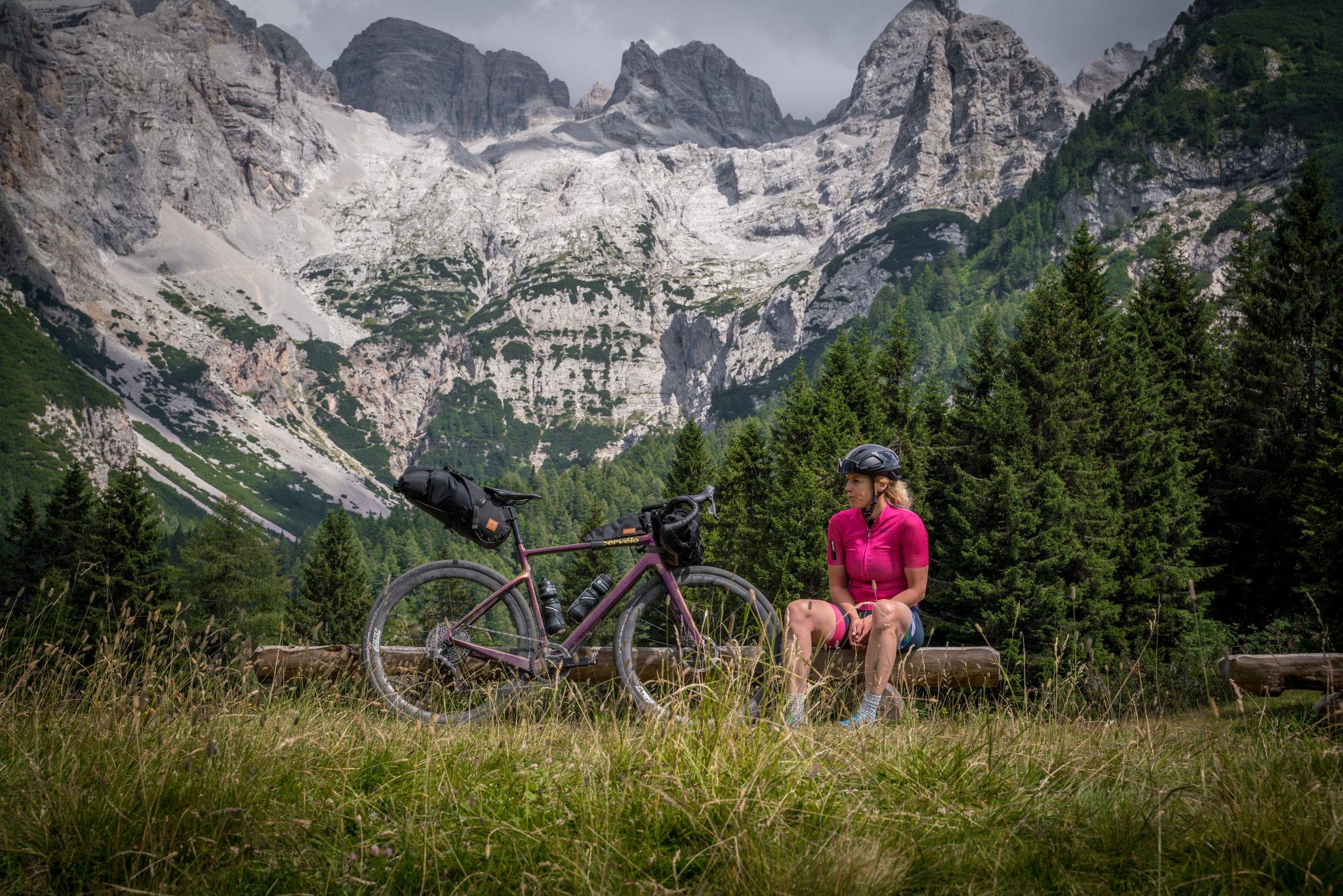
Graun to Riva del Garda — Gravelling across the Alps
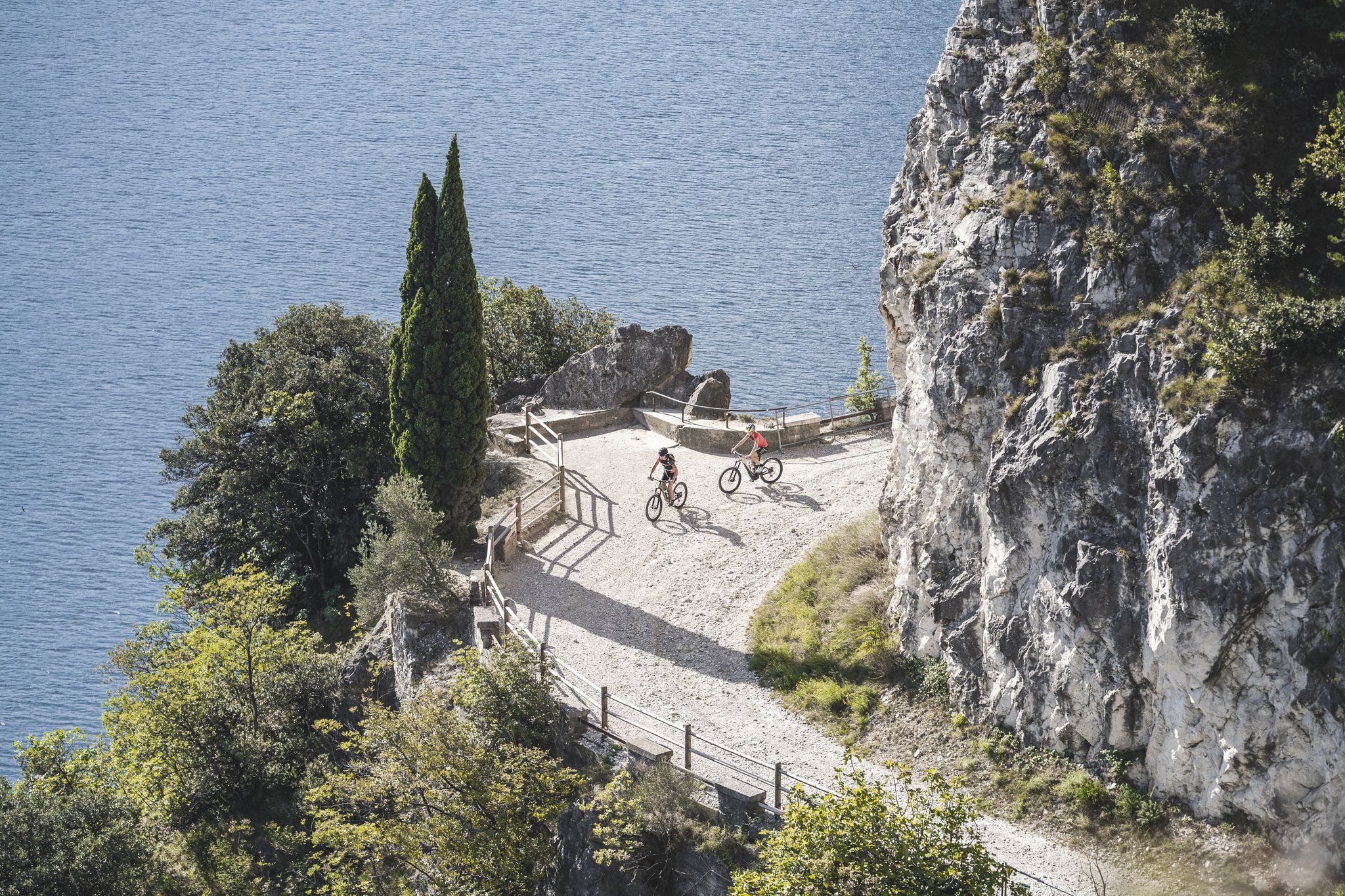
MTB in Garda Trentino – trails, panoramas and fun
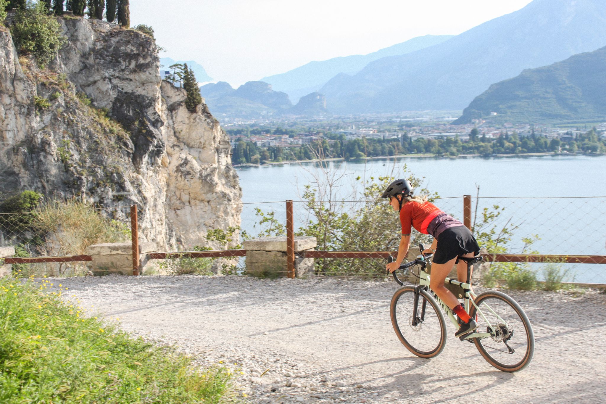
Between gravel and lakes – Garda Trentino Gravel Experience
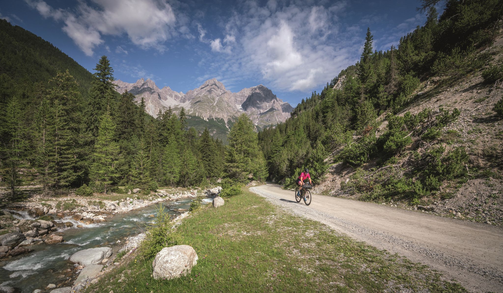
In 6 days from Reschen to Lake Garda - Gravel-Transalp with TOUR
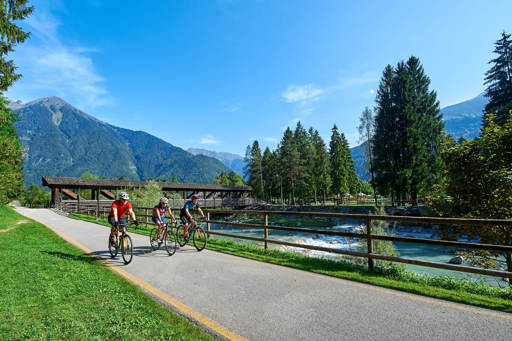
From the Dolomites to Lake Garda – the DoGa cycle trail
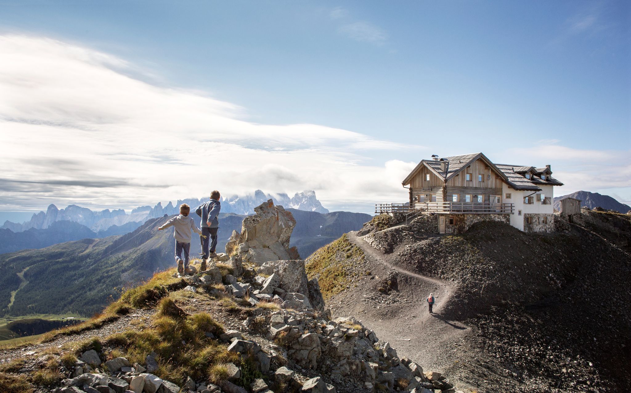
10 breathtaking hiking trails in Trentino
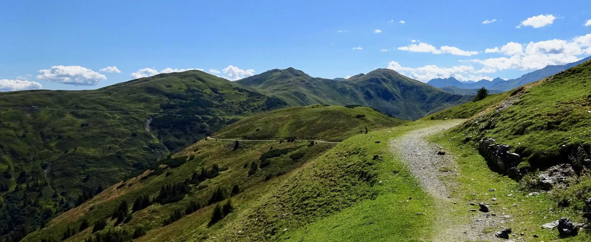
Marvin Route – an Alpine crossing for advanced cyclists
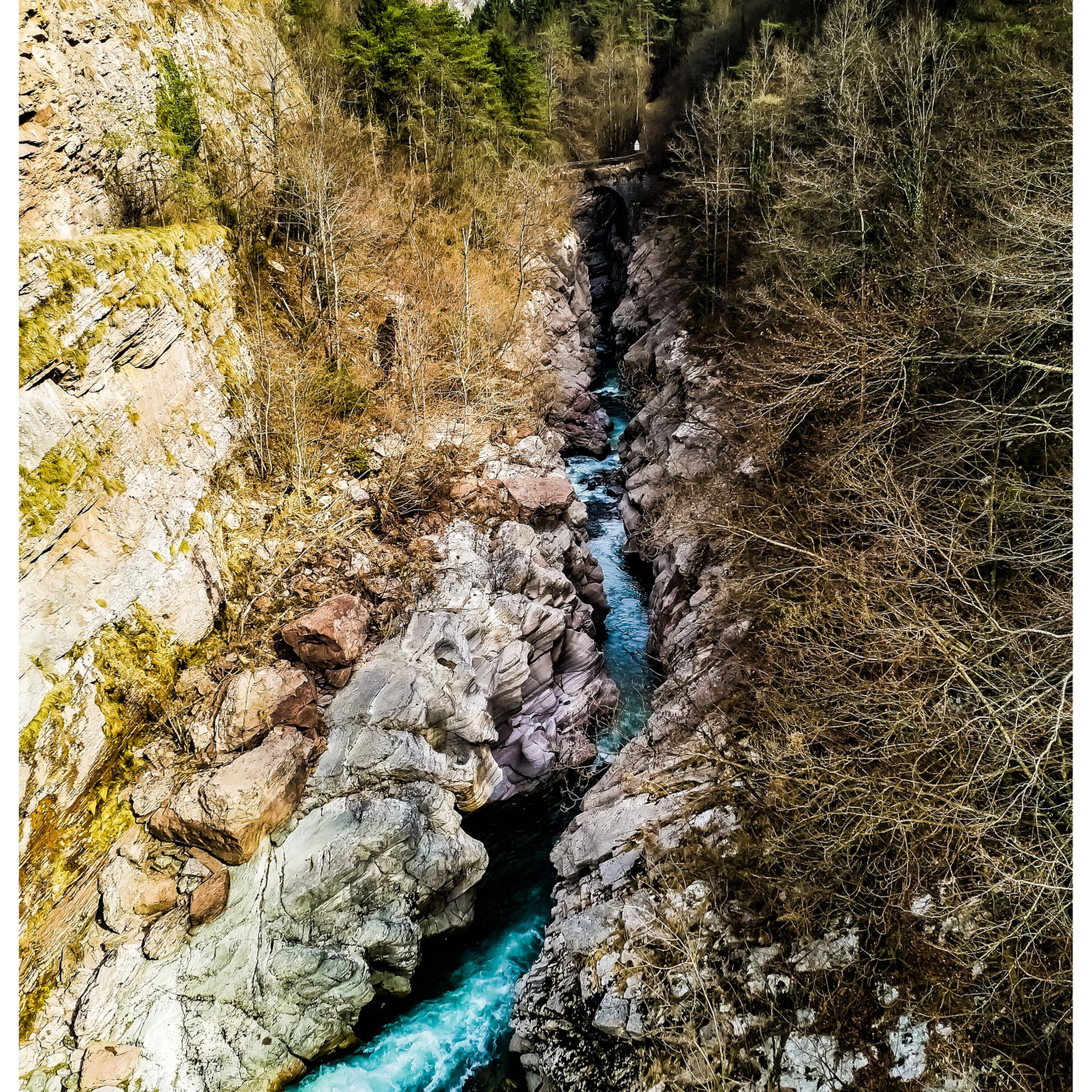
Hiking around Comano Terme
MTB Trails around Comano Terme
Road Cycling Routes around Comano Terme
Other adventures around Comano Terme


Tips from the Community

Short reaction: Difficulties are always subjective. Here, in most tour descriptions, the first few meters are considered the most difficult. At https://klettersteig.de/klettersteig/via_ferrata_rino_pisetta/760, for example, it is also classified as D if you have the right shoes, which confirms the dependence on foot technique. Everyone must make their own risk assessment based on their own skills and experience, and an emergency plan should be made in advance - there are various options here, but it is worth taking a suitable course for everyone.
1
0

THE EXTRAORDINARY COMMISSIONER Whereas on the afternoon of Tuesday, 14 October 2025, a rock slab detached from Mount Garzolet, affecting the route of the "Ferrata Pisetta"; Considering that this event constitutes a potential danger to public safety, particularly for hikers and climbers who frequent the area; Deeming it therefore essential, in order to ensure public safety, to order the temporary closure of access to the "Ferrata Pisetta" until the completion of the necessary inspections; Having regard to the provisions of the Code of Local Authorities (C.E.L.), approved by Regional Law of 3 May 2018, No. 2, and in particular Article 61; Deeming it appropgiate to establish a prohibition of access to the affected area in order to prevent accidents or damage persons or property;
2
0

Beautiful panorama but strength in the arms is a prerequisite for this via ferrata, I suggest taking enough to drink with you!
2
0

The climb to Mount Misone begins steeply between natural steps and alpine meadows, and then plunges into a shaded forest. After the hairpin bends, the path opens onto gentle rocky pastures, leading to the small summit cross. From up here, the view is simply spectacular: Lake Garda stretches out on the horizon, while Lake Tenno shines with its turquoise waters, nestled between the mountains.
3
1
The road that climbs above the Castiol saddle seems to immerse itself in the thick woods, but as you gain altitude towards Mount Misone, Lake Garda peeps out from between the branches and bushes. Closer, the little jewel of Lake Tenno appears, with its sparkling turquoise waters.
2
0

A wonderful viewpoint that can be reached even without great mountaineering skills (paths T1/T2), but a good level of fitness is very helpful.
1
0

After about 300 m of ascent, the C/D entry is already tough. Don't forget to protect yourself from the sun. SOUTH FACE.
2
0

An absolutely wonderful place up there!
0
0
Frequently Asked Questions
How many mountaineering routes are available around Comano Terme?
There are over 100 mountaineering routes around Comano Terme, offering a wide range of options for different skill levels. The region boasts 118 distinct routes, with 86 classified as difficult, 29 as moderate, and 3 as easy.
Are there any easy mountaineering routes for beginners in Comano Terme?
While many routes in Comano Terme are challenging, there are some easier mountaineering options available. You can find 3 routes classified as easy and 29 as moderate, providing good starting points for those new to mountaineering or looking for less strenuous climbs. These often traverse valley floors or offer gentler ascents.
What are some challenging mountaineering routes in the Comano Terme area?
Comano Terme is renowned for its challenging climbs, especially in the Brenta Dolomites. Notable difficult routes include the Via Ferrata Rino Pisetta – Garzolet Peak (961 m) loop from Sarche, which features a demanding via ferrata. Another challenging option is the View of Malga Tenno – Summit Cross of Monte Misone loop from Casa degli Artisti, offering significant elevation gain and requiring good fitness.
What natural features or landmarks can I see along the mountaineering routes?
The mountaineering routes around Comano Terme offer stunning natural features. You'll encounter the dramatic peaks of the Brenta Dolomites, a UNESCO World Heritage site, and diverse landscapes within the Adamello Brenta Nature Park. Highlights include beautiful lakes like Lago di Nambino and Lake Toblino, as well as picturesque river gorges carved by the Sarca River. Many routes also lead to high mountain huts like Rifugio Tuckett and Sella, offering breathtaking views.
Are there any circular mountaineering routes in Comano Terme?
Yes, many mountaineering routes in Comano Terme are designed as loops, allowing you to start and end at the same point. Examples include the Rocky Cliffside Steps – Via Ferrata Rino Pisetta loop from Ranzo and the Villa Parco Parking – Ferrata Signora delle Acque loop from Ballino. These circular routes provide varied scenery without retracing your steps.
What is the best time of year for mountaineering in Comano Terme?
The best time for mountaineering in Comano Terme is generally from late spring to early autumn (May to October). During these months, the weather is more stable, snow has largely melted from higher elevations, and mountain huts are typically open. Always check local weather forecasts and trail conditions before heading out, especially for higher altitude routes.
What do other mountaineers enjoy most about the routes in Comano Terme?
The mountaineering routes in Comano Terme are highly rated by the komoot community, with an average score of 4.8 stars from over 700 reviews. Mountaineers often praise the dramatic scenery of the Brenta Dolomites, the well-maintained trails, and the diverse challenges offered by the via ferratas and high-altitude paths. The region's natural beauty and the sense of accomplishment from tackling its peaks are frequently highlighted.
Are there options for family-friendly mountaineering or hiking in the area?
While many mountaineering routes are demanding, Comano Terme offers a range of diverse hiking trails, some of which are suitable for families. The region has easier paths in the valley floors and within the Comano Terme thermal park, which features green spaces and gentle trails. For specific family-friendly options, look for routes classified as easy or moderate, or consider the less strenuous hiking trails that wind through charming villages and natural landscapes.
Where can I find parking for mountaineering trailheads in Comano Terme?
Parking availability varies by trailhead, but many popular starting points for mountaineering routes around Comano Terme offer designated parking areas. For example, the Villa Parco Parking – Ferrata Signora delle Acque loop from Ballino explicitly mentions parking at its starting point. It's advisable to check the specific route details on komoot for information on parking facilities near your chosen trailhead.
Can I reach mountaineering routes in Comano Terme using public transport?
Comano Terme is situated in the Trentino region, which generally has a good public transport network. While direct access to every remote trailhead might be limited, many towns and villages that serve as starting points for routes are accessible by bus. For detailed information on public transport options to specific trailheads, it's recommended to consult local transport schedules or the official Visit Trentino website for regional connections.
Are there any routes that offer panoramic viewpoints of the mountains?
Absolutely. The Comano Terme region is rich with panoramic viewpoints, especially given its location between the Brenta Dolomites and Lake Garda. Routes leading to peaks like Monte Misone, or those traversing high mountain passes, offer spectacular vistas. You can also find dedicated viewpoints such as the Beautiful view of Arco's castle and the View of Arco Castle and Sarca Valley, which provide expansive views of the surrounding landscapes and historical sites.
What kind of accommodation is available near the mountaineering trails?
The Comano Terme region offers a variety of accommodation options, from hotels and guesthouses in the main towns to mountain huts (rifugi) located directly on or near the trails. Huts like Rifugio Tuckett and Sella and Capanna Grassi Hut provide basic lodging and meals for mountaineers. In the valleys, you'll find more traditional hotels and B&Bs, particularly in Comano Terme itself and nearby villages.
Most popular routes around Comano Terme
Most popular attractions around Comano Terme

Get inspired with the komoot mobile app


Explore more
Browse the best Mountain Hikes & Routes in other regions.
