The best walks and hikes around Telve Di Sopra
4.6
(3064)
20,060
hikers
447
hikes
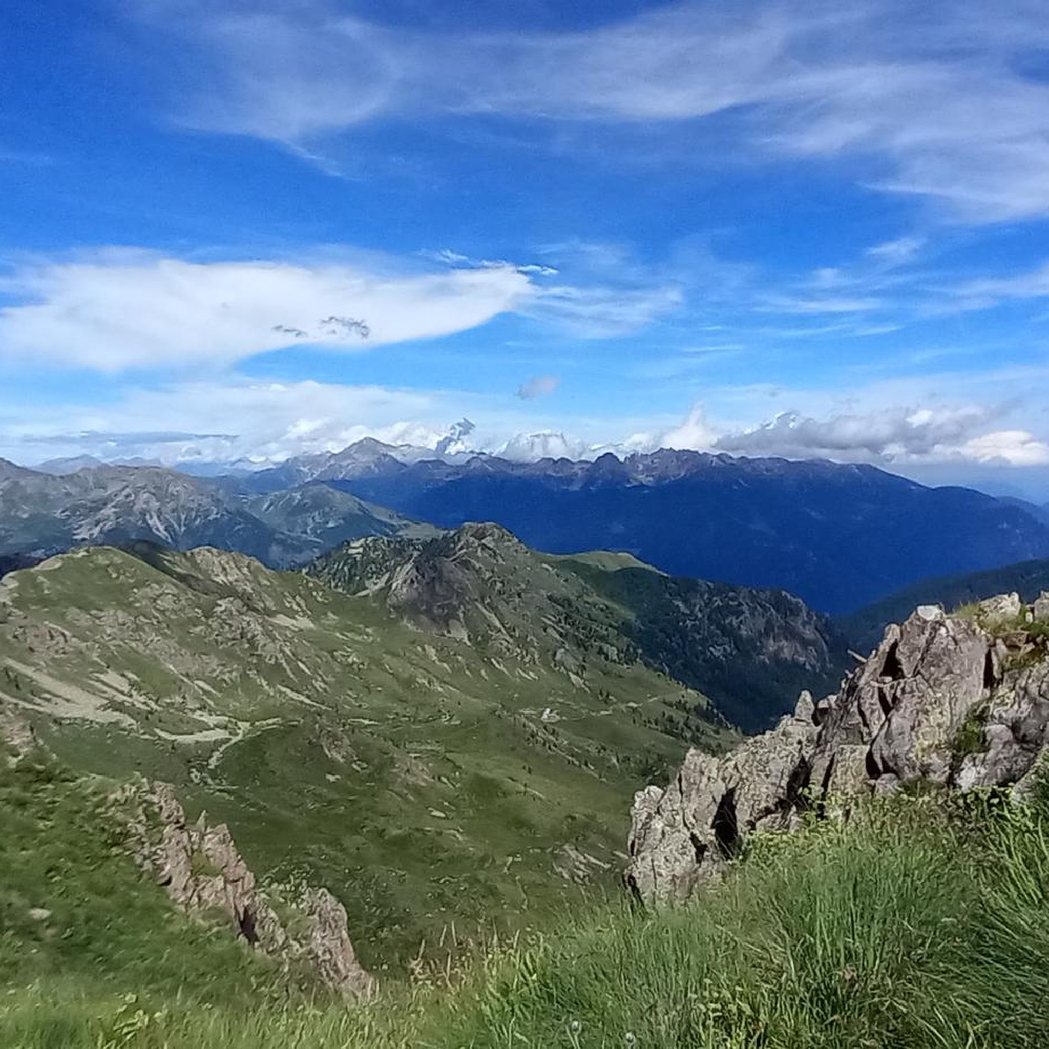
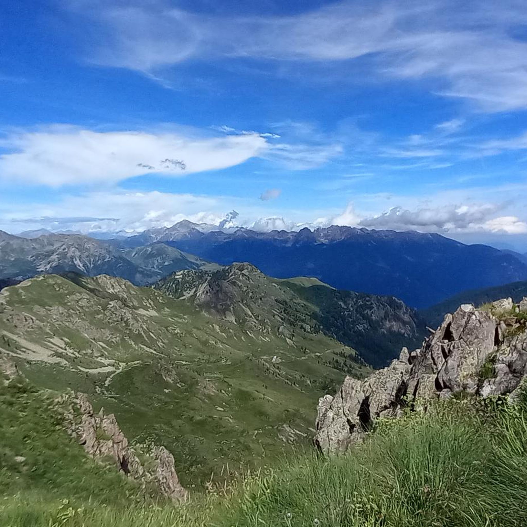
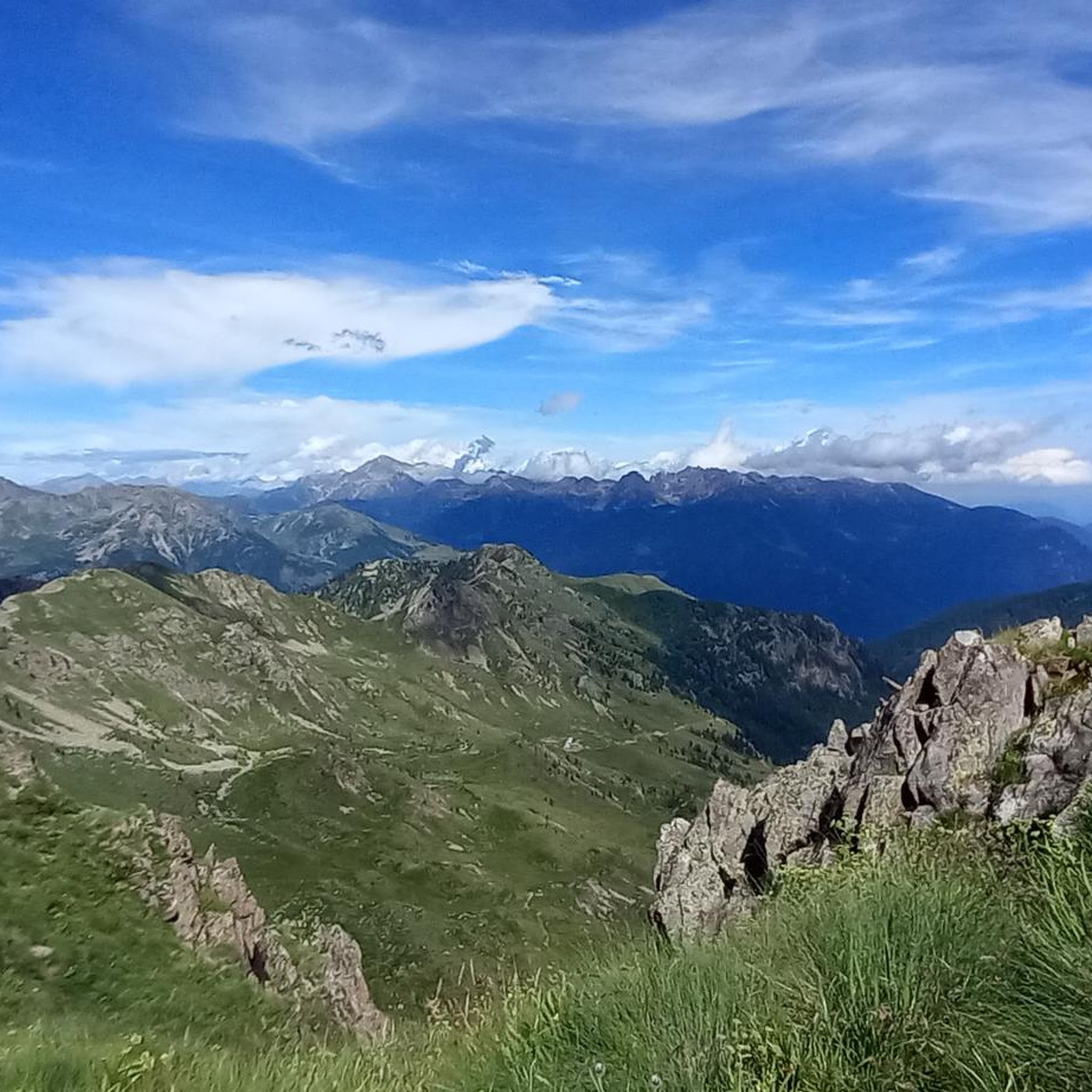
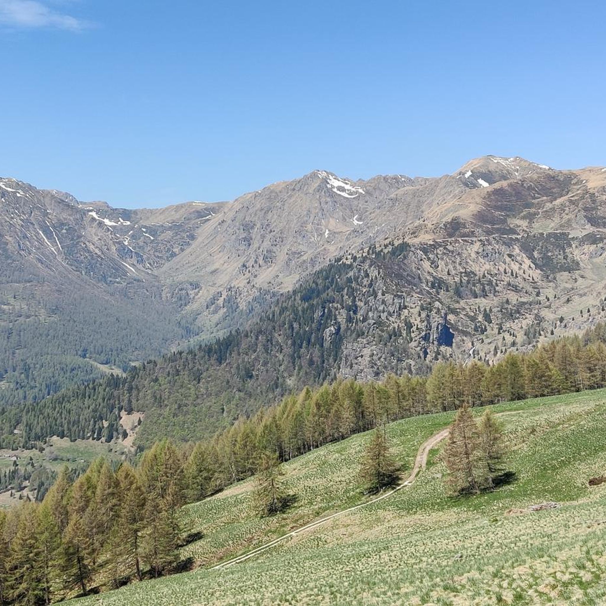
Hiking around Telve Di Sopra offers access to the diverse terrain of the Valsugana valley and the Lagorai mountain range. The region is characterized by alpine forests, mountain pastures, and rugged peaks, providing varied landscapes for exploration. Many trails ascend into higher elevations, offering expansive views and challenging hikes. The area provides numerous opportunities for viewpoint hikes, with options for different skill levels.
Best hiking trails around Telve Di Sopra
- The most popular hiking route is Translagorai - Stage 2…
Last updated: July 9, 2026
5.0
(3)
37
hikers
18.2km
07:40
930m
930m
Hike the difficult 11.3-mile Translagorai - Stage 2, gaining 3068 feet through rugged Lagorai terrain with panoramic views.
5.0
(2)
14
hikers
16.6km
07:22
1,020m
1,020m
Hike the difficult 10.3-mile Val Calamento Trail to Buse della Pesa (via Route 315), gaining 3347 feet in the Lagorai mountains.

Sign up for free
5.0
(2)
8
hikers
6.17km
03:06
560m
560m
Alpine trail through Lagorai granite peaks to a working dairy and WWI historical sites.
5.0
(3)
5
hikers
9.78km
04:04
660m
670m
Alpine trail through changing ecosystems to Forcella delle Conelle, a dramatic mountain pass gateway.
4.6
(11)
57
hikers
15.9km
06:41
1,070m
1,070m
Hard hike. Very good fitness required. Mostly accessible paths. Sure-footedness required.
Get access to more routes and recommendations from other explorers.
Sign up for free
Already have an account?
Our route recommendations are based on thousands of hikes, rides, and runs completed by other people on komoot.
Start today with a free account
Your next adventure awaits.
Login or Signup

Tips from the Community

High-altitude mountain hut in a southwest position, set in a wide and beautiful basin. Produces and sells excellent cheeses. If you ascend during the rhododendron bloom, the surrounding slopes are a red amphitheater.
0
0
The climb is challenging due to the steepness. The descent is more comfortable. The scenery is beautiful.
0
0
A beautiful mountain pasture on the Lagorai side overlooking the Valsugana. Their excellent cheeses and ricottas are a must-try.
0
0

From the Campestrini hamlet of Torcegno, this path climbs up the slopes of Mount Salubio and climbs parallel to the well-known asphalt road of the Manghen pass. Donaelo is a place you come across along the Path of Peace, which also passes through here.
0
0

Fast circular route, beautiful view of the Dardemolo lake and the Sasso Rotto peak
0
0

Beautiful mountain refuge nestled among all the peaks, classic style, with breathtaking views of the surrounding peaks. I recommend a visit if you are in the area 😍🤩
0
0
Beautiful refuge set in an amphitheater of peaks of rare beauty
1
0

Extremely beautiful and cosy bivouac! Plenty of beds available in two huts, tent sites outside, and water point available. Breathtaking views! Highly recommended if you are hiking the Translagorai.
0
0
Frequently Asked Questions
How many hiking trails are there in Telve Di Sopra?
Telve Di Sopra offers a wide selection of routes, with over 400 hiking trails available. These range from easy walks to challenging multi-day treks through the Valsugana valley and Lagorai mountain range.
Are there easy hiking trails around Telve Di Sopra?
Yes, Telve Di Sopra has options for less strenuous hikes. There are 45 easy routes available, perfect for those looking for a gentle introduction to the region's natural beauty. These trails often traverse alpine forests and offer pleasant walks without significant elevation gain.
What are some challenging hikes in the Telve Di Sopra area?
For experienced hikers seeking a challenge, Telve Di Sopra features 144 difficult routes. One notable challenging option is the Translagorai - Stage 2, an 18.2 km trail with significant elevation gain, traversing high alpine terrain. Another demanding route is the Cima d'Ezze and Valtrigona Oasis Loop, which is 16.6 km long and passes through a protected natural oasis.
Are there family-friendly hiking options near Telve Di Sopra?
While the region is known for its alpine terrain, many of the 45 easy routes can be suitable for families, depending on the children's age and experience. Look for trails with lower elevation gain and shorter distances for a more enjoyable family outing.
Are there circular hiking routes available?
Yes, many trails in the Telve Di Sopra area are designed as circular routes, allowing you to start and end at the same point. An example of a challenging loop is the Cima d'Ezze and Valtrigona Oasis Loop. For moderate options, consider routes like Monte Salubio – Monte Ciste summit loop from Vinanti.
What natural attractions can I explore near Telve Di Sopra?
The region around Telve Di Sopra is rich in natural beauty. You can discover several stunning waterfalls, such as the Wolf Waterfall or the Bigonde Nature Oasis with Waterfall and Pond. There are also beautiful alpine lakes to visit, including Lake Erdemolo and Buse Lake.
Which hikes offer the best viewpoints?
Many trails in Telve Di Sopra ascend into higher elevations, providing expansive views of the Valsugana valley and the Lagorai mountain range. Routes like the Alpine trail to Forcella delle Conelle offer panoramic vistas as you gain altitude.
What is the best time of year to hike in Telve Di Sopra?
The best time for hiking in Telve Di Sopra is typically from late spring to early autumn (May to October). During these months, the weather is generally milder, and the trails are free of snow, making for more accessible and enjoyable conditions. Always check local weather forecasts before heading out.
What kind of gear should I bring for hiking in this region?
Given the diverse terrain, it's advisable to bring sturdy hiking boots, layered clothing suitable for changing mountain weather, rain gear, sufficient water, snacks, and a map or GPS device. For more challenging routes, trekking poles can also be beneficial.
What do other hikers appreciate about Telve Di Sopra's trails?
The trails around Telve Di Sopra are highly rated by the komoot community, with an average score of 4.6 stars from over 2,600 reviews. Hikers often praise the diverse landscapes, from dense alpine forests to rugged peaks, and the well-maintained paths that offer options for various skill levels.
Are there less crowded hiking trails in Telve Di Sopra?
While some popular routes can see more traffic, the extensive network of over 400 trails means you can often find quieter paths. Exploring some of the moderate routes, such as the Suerta Valley to Forcella Sasso Rotto via Malga Sette Selle, especially during weekdays or outside peak season, can offer a more secluded experience.
Most popular routes around Telve Di Sopra
Most popular attractions around Telve Di Sopra

Get inspired with the komoot mobile app


Explore more
Browse the best Hikes in other regions.
