The best walks and hikes around Roncegno Terme
4.4
(693)
4,465
hikers
66
hikes
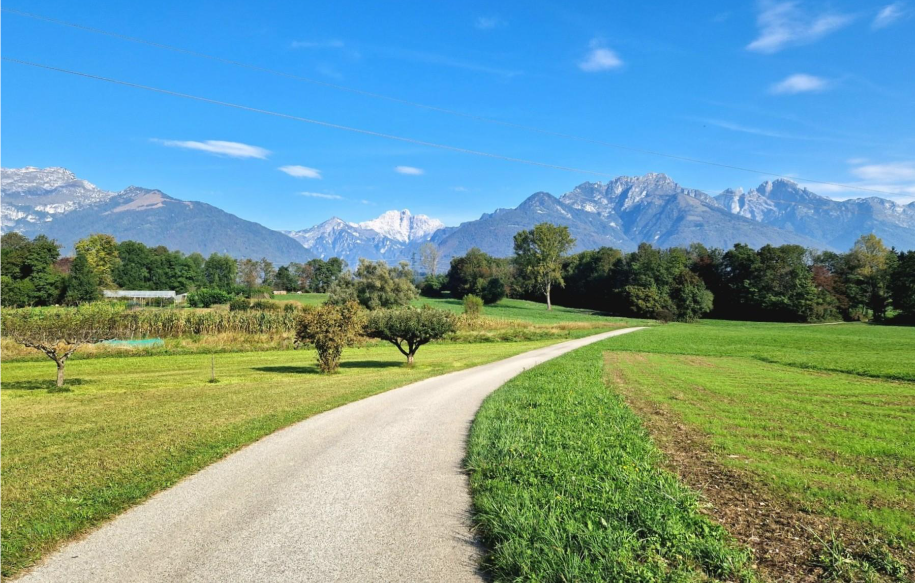
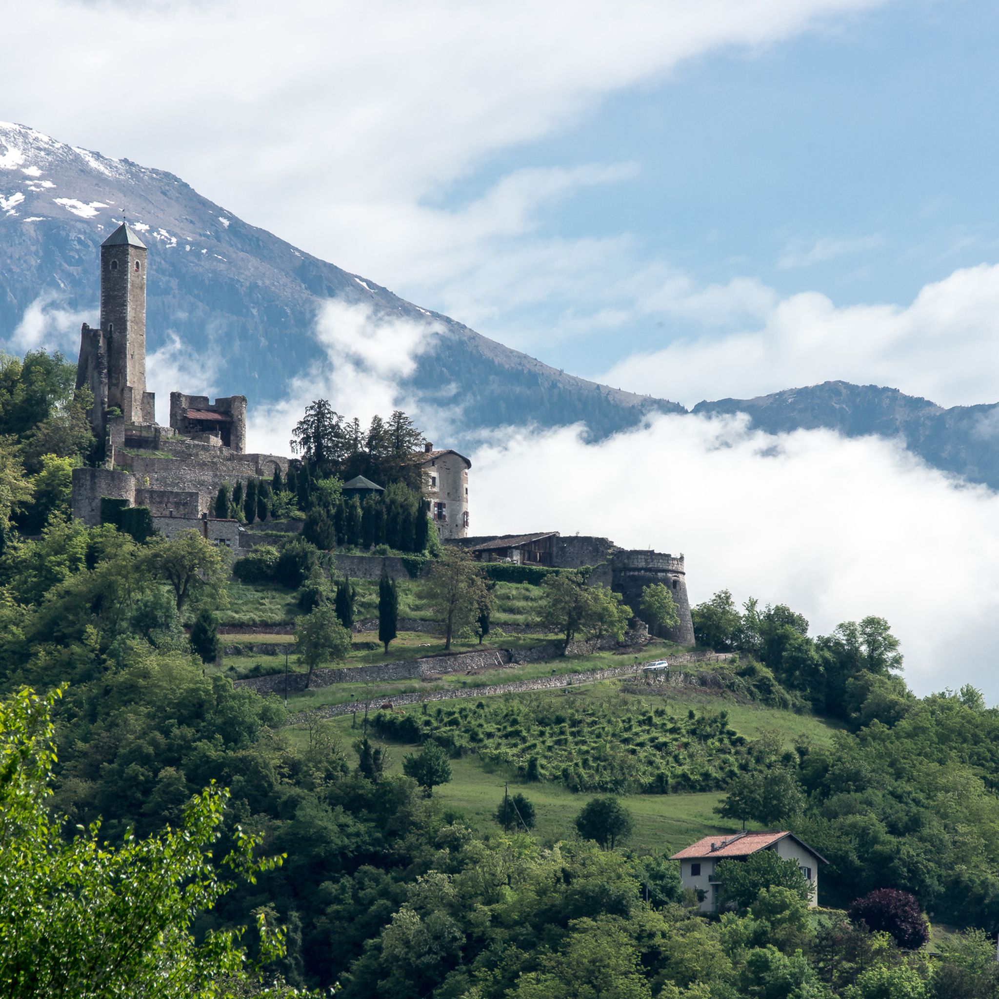
Hiking around Roncegno Terme offers access to diverse landscapes within the Valsugana valley, situated at the foot of Monte Fravòrt. The region is characterized by its connection to the Lagorai mountain chain, featuring alpine terrain and extensive trail networks. Hikers can explore natural biotopes, forested areas, and hills dotted with chestnut groves, with picturesque lakes like Caldonazzo and Levico nearby.
Best hiking trails around Roncegno Terme
- The most popular hiking route is Alpine loop from Rifugio Serot via Trenca Summit…
Last updated: August 17, 2026
4.6
(42)
237
hikers
12.2km
05:22
750m
750m
Alpine loop through Trentino peaks, connecting serene mountain lakes with summit views of the Lagorai chain.
4.6
(13)
49
hikers
13.6km
04:37
620m
620m
Hike 8.5 miles (13.6 km) from La Bassa Pass to Rifugio Serot, gaining 2038 feet (621 metres) through scenic Lagorai meadows.

Sign up for free
5.0
(2)
33
hikers
10.3km
02:52
190m
190m
Hike the moderate 6.4-mile Alta Via del Porfido: Stage 4 Malga Prese - Val Portela Variant in Lagorai, taking 2h 51m.
5.0
(2)
6
hikers
15.0km
06:42
1,070m
1,070m
Alpine trail through Lagorai peaks ending at a WWI chapel overlooking Val dei Mocheni.
4.8
(25)
99
hikers
12.1km
05:33
880m
880m
Hard hike. Very good fitness required. Mostly accessible paths. Sure-footedness required.
Get access to more routes and recommendations from other explorers.
Sign up for free
Already have an account?
Our route recommendations are based on thousands of hikes, rides, and runs completed by other people on komoot.
Start today with a free account
Your next adventure awaits.
Login or Signup
Popular around Roncegno Terme

Other adventures around Roncegno Terme

Tips from the Community


The starting point for the ascent to the summit of Monte Cola. Challenging climb
0
0
From this point, the views span 360 degrees
1
0
A corner of biodiversity in a mountain environment cared for and managed by local people
0
0
The pastures and huts in the Le Prese area, impeccably maintained for the revitalization of the mountain
0
0

Superb view from the top. Easy to get to.
0
0

Frequently Asked Questions
How many hiking trails are available around Roncegno Terme?
Roncegno Terme offers a comprehensive network of over 60 hiking trails. These routes cater to various skill levels, ranging from easy walks through valleys and chestnut groves to challenging alpine ascents in the Lagorai mountain chain.
What types of terrain can I expect on hikes in Roncegno Terme?
The terrain around Roncegno Terme is highly diverse. You can find moderate forest paths, trails through traditional homesteads and chestnut groves, as well as more challenging alpine terrain leading to peaks within the Lagorai mountain chain and around Monte Fravòrt. The region also features natural biotopes and scenic routes near lakes.
Are there any easy or family-friendly hiking options in Roncegno Terme?
Yes, Roncegno Terme has a good selection of easier trails suitable for families. There are 10 easy routes available, often traversing forested areas or the gentle hills dotted with chestnut trees. The Valsugana cycling path also offers opportunities for leisurely walks along the Brenta River, which can be suitable for families.
What natural features or landmarks can I see while hiking in Roncegno Terme?
Hikers can discover a variety of natural features and landmarks. The region is known for the majestic Lagorai mountain chain and Monte Fravòrt. You can explore the unique Biotope of Roncegno, picturesque lakes like Caldonazzo and Levico, and historical sites such as remnants of World War I trenches near Monte Fravòrt. The Serot Mountain Hut and Stramaiolo Alpine Hut also serve as notable points of interest and rest stops.
Are there any circular hiking routes available?
Yes, Roncegno Terme offers several circular routes. For instance, the Panarotta - Fravort Loop is a moderate 8.5-mile (13.6 km) path exploring the terrain around Monte Fravòrt. Another challenging option is the Alpine loop from Rifugio Serot via Trenca Summit and Pizzo Alto, which is a difficult 7.6-mile (12.2 km) trail.
What is the best time of year to go hiking in Roncegno Terme?
The best time to hike in Roncegno Terme is generally from late spring through early autumn (May to October). During these months, the weather is most favorable for exploring both the valley trails and higher alpine routes. Summer offers lush landscapes, while autumn brings vibrant colors to the chestnut groves.
Are there any mountain huts or refuges along the trails?
Yes, the area around Roncegno Terme is well-equipped with mountain huts and refuges, providing convenient rest stops and amenities for longer treks. Notable options include the Serot Mountain Hut, Sette Selle Refuge, and Stramaiolo Alpine Hut. These often offer catering services.
What do other hikers say about the trails in Roncegno Terme?
The trails in Roncegno Terme are highly rated by the komoot community, with an average score of 4.3 stars from over 580 reviews. Hikers often praise the diverse landscapes, from the challenging alpine ascents in the Lagorai chain to the peaceful walks through natural biotopes and chestnut groves. The well-maintained network of trails and the stunning panoramic views are frequently highlighted.
Can I bring my dog on the hiking trails?
While specific regulations can vary by trail and protected area, many trails in Roncegno Terme are generally dog-friendly. It's always recommended to keep dogs on a leash, especially in areas with wildlife or livestock, and to check for any specific signage or local rules for the particular route you plan to take.
Are there any historical trails in the area?
Yes, the region has a significant historical trail. The "Sentiero della Pace" (Path of Peace) is a notable route that traces the events of World War I through memorable landscapes, offering a unique blend of nature and history for hikers. Additionally, remnants of World War I trenches can be found near the summit of Monte Fravòrt.
How can I reach the trailheads using public transport?
Roncegno Terme is connected by public transport, and some trailheads may be accessible via local bus services. For specific routes, it's advisable to check local bus schedules and routes that serve the Valsugana valley. For example, the town's proximity to the Valsugana cycling path suggests good connectivity within the valley, which might extend to some hiking access points.
Are there any challenging hikes for experienced trekkers?
Absolutely. Roncegno Terme is a gateway to the Lagorai mountain chain, offering demanding routes for experienced trekkers. Trails like the Alpine loop from Rifugio Serot via Trenca Summit and Pizzo Alto and the Lagorai Trail to Cappella di Feld (via Route 371) involve significant elevation gain and cover alpine terrain, leading to high peaks and offering breathtaking views.
Most popular routes around Roncegno Terme
Most popular attractions around Roncegno Terme

Get inspired with the komoot mobile app


Explore more
Browse the best Hikes in other regions.
