The best walks and hikes around Carzano
4.5
(2252)
15,091
hikers
275
hikes
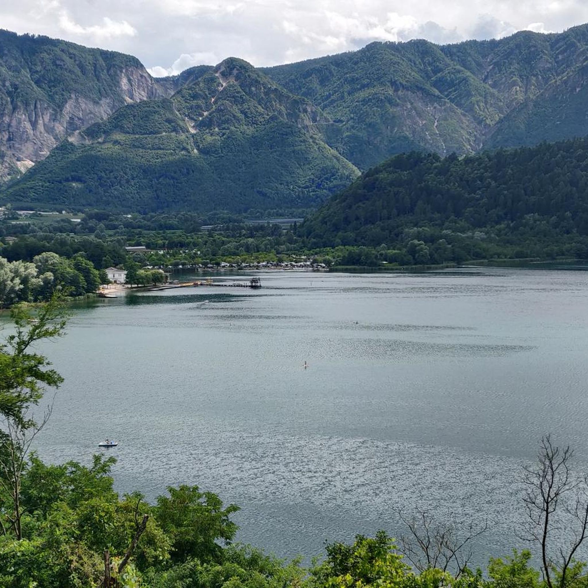
Hiking around Carzano, located in the Valsugana valley, offers access to varied terrain ranging from river plains to mountain slopes. The region is characterized by the Brenta River, surrounding hills, and the foothills of the Lagorai mountain range. Trails often traverse dense woodlands, open meadows, and offer views of the valley and historical structures. The landscape provides a mix of gentle riverside paths and more challenging ascents into higher elevations.
Best hiking trails around Carzano
- The most popular hiking route…
Last updated: August 19, 2026
5.0
(3)
13
hikers
11.1km
04:43
980m
980m
Hike the difficult Trodo dei Salti Trail, a 6.9-mile route with 3209 feet of elevation gain, taking about 4 hours and 42 minutes.
9
hikers
8.12km
02:29
260m
260m
Moderate hike. Good fitness required. Easily-accessible paths. Suitable for all skill levels.

Sign up for free
15
hikers
6.95km
01:49
50m
50m
Easy hike. Great for any fitness level. Easily-accessible paths. Suitable for all skill levels.
5
hikers
5.52km
01:41
190m
180m
Easy hike. Great for any fitness level. Easily-accessible paths. Suitable for all skill levels.
7
hikers
8.71km
02:16
50m
50m
Moderate hike. Good fitness required. Easily-accessible paths. Suitable for all skill levels.
Get access to more routes and recommendations from other explorers.
Sign up for free
Already have an account?
Our route recommendations are based on thousands of hikes, rides, and runs completed by other people on komoot.
Start today with a free account
Your next adventure awaits.
Login or Signup
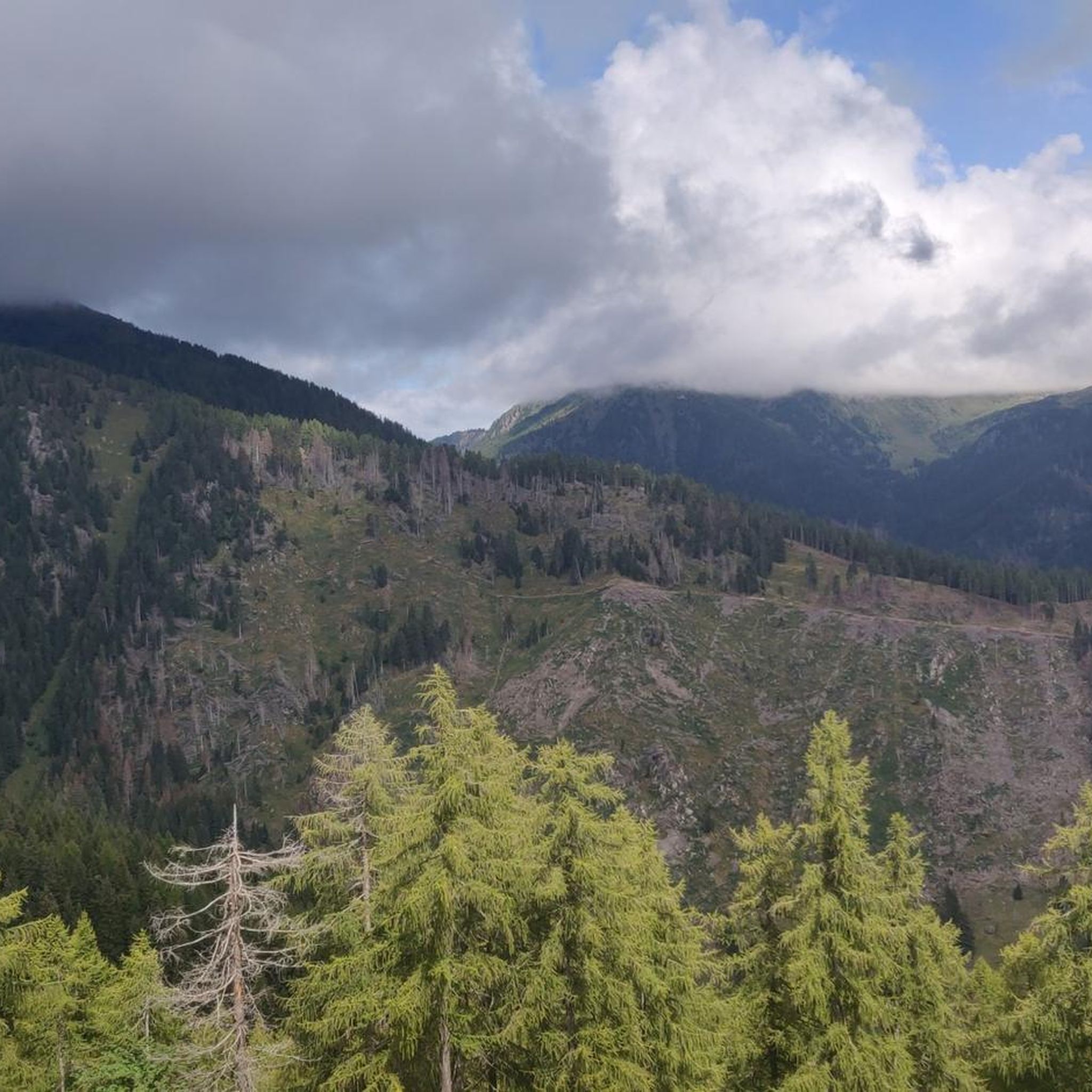
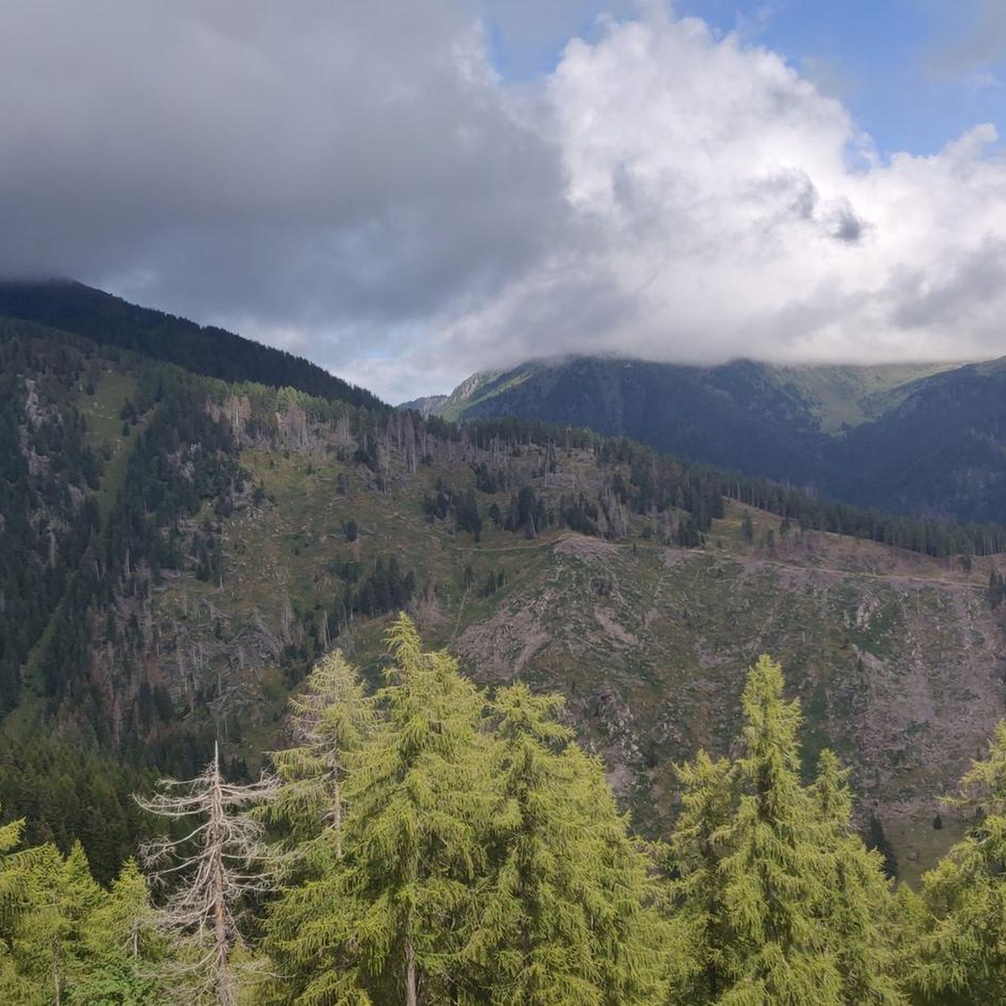
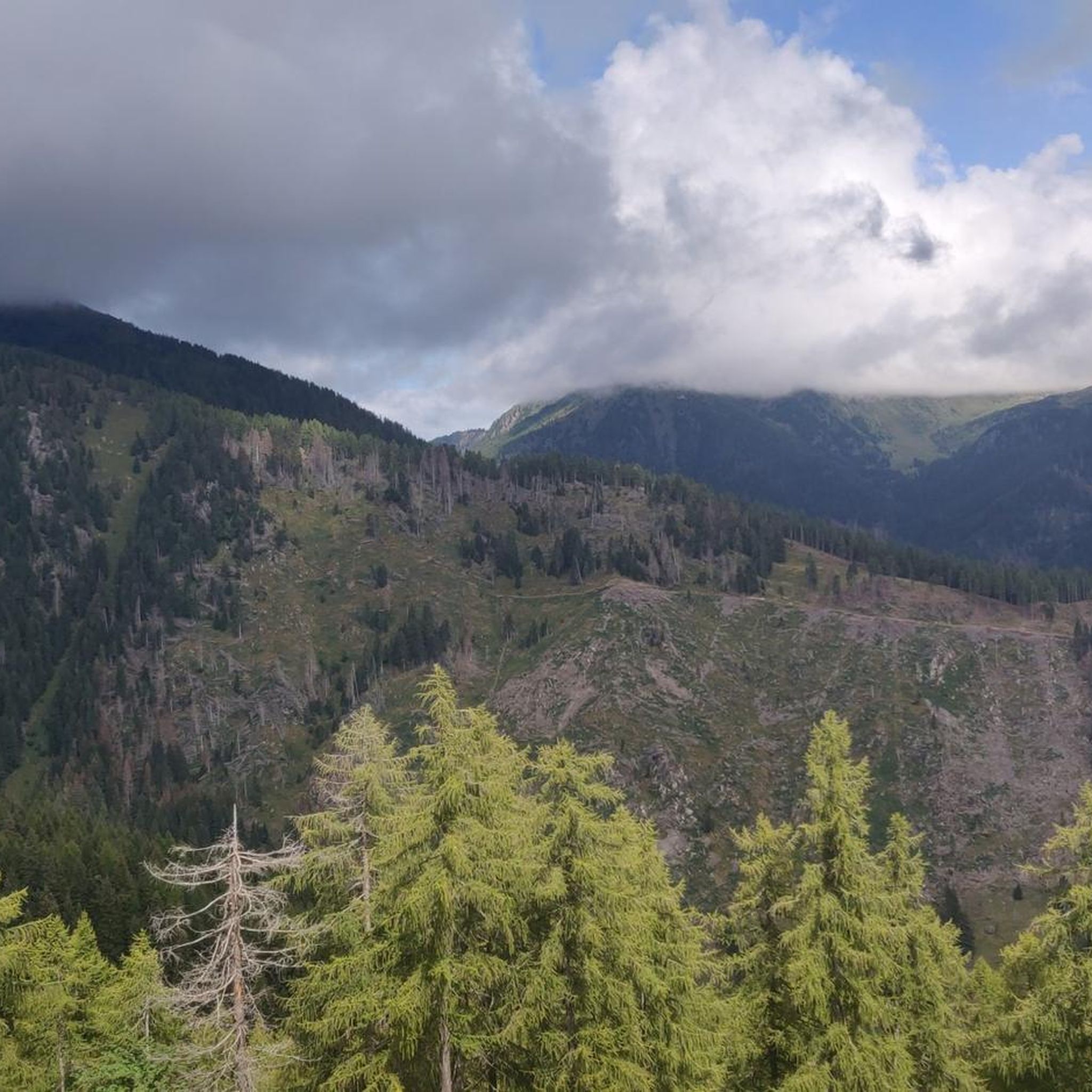
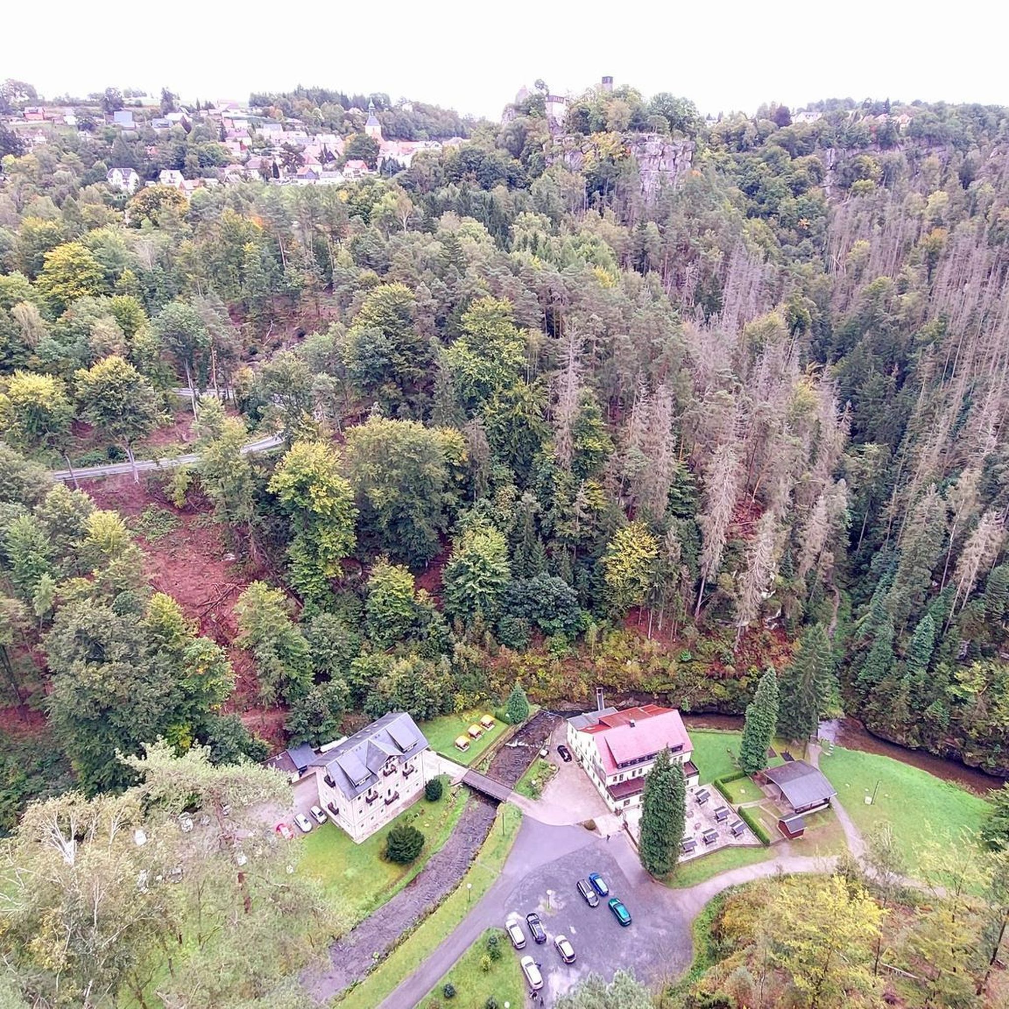
Tips from the Community

Small village with an interesting historic center, rich in many ex-votos and with a path dedicated to the Via Crucis
0
0
Passage country for the ascent to Manghen Pass. In the historic center there are many votive shrines
0
0
One of the many water crossings on the route
0
0

On the Venetian bridge, built in 1498, two Baroque shrines were added in 1659 during its expansion, embellished with graffiti by Jacopo Fiorentini. The bridge, a symbol of the "Little Venice of Trentino," connects the old part of Borgo with the new part built after the last conflicts.
0
0
In December 1825, a catastrophic flood invaded Borgo and destroyed the reclamation work on the Brenta River, begun in 1811 between Caldonazzo, Pergine, and Calceranica. The work was abandoned and the project remained incomplete.
0
0

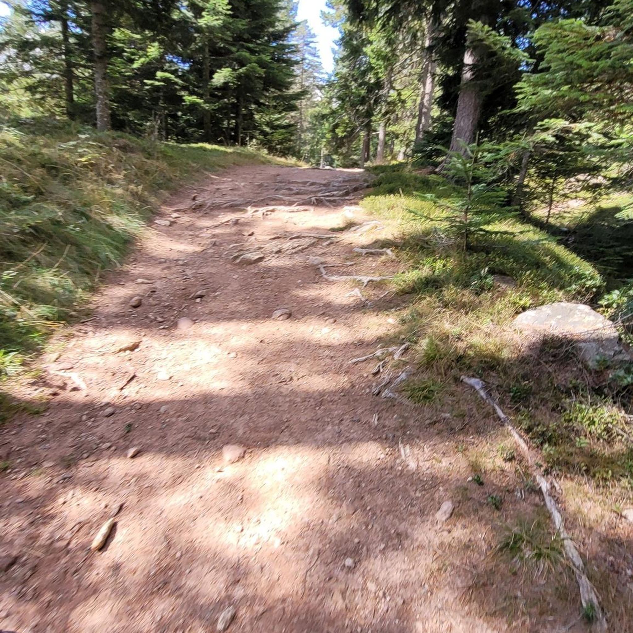
Short, steep and mostly rocky hiking trail to the Castello.
0
0

A very nice rest area with a place to charge our batteries. Apart from us, however, there were only other drivers there.
0
0

Open-air museum on the Valsugana cycle path
0
0
Frequently Asked Questions
How many hiking trails are available around Carzano?
There are over 240 hiking routes around Carzano, offering a wide range of options from easy strolls to challenging mountain ascents. The network includes paths through river valleys, forested hillsides, and the foothills of the Lagorai mountain range.
Are there easy hiking options for beginners in Carzano?
Yes, Carzano offers around 35 easy hiking trails suitable for beginners or those looking for a relaxed walk. An example of an easy route is the Bicigrill Castelnuovo loop from Borgo Valsugana, which covers about 4.3 miles (6.9 km) with minimal elevation gain.
Are there challenging hikes for experienced hikers in Carzano?
Absolutely. For experienced hikers seeking a challenge, Carzano features approximately 75 difficult routes. These trails often involve significant elevation changes and traverse mountainous terrain, providing a rewarding experience.
What kind of views can I expect on hikes around Carzano?
Hikes around Carzano offer diverse views, from the serene Brenta River and the expansive Valsugana valley to dense woodlands and open meadows. Higher elevation trails provide panoramic vistas of the surrounding hills and the Lagorai mountain range.
Are there any historical sites or natural landmarks to explore along the trails?
Yes, the region around Carzano is rich in both natural and historical points of interest. You can explore natural monuments like Castelloni of San Marco or visit historical sites such as the Cima Caldiera Logistics Base Caves (World War I). Many trails offer glimpses of these landmarks.
Can I bring my dog on the hiking trails around Carzano?
Many trails in the Carzano area are dog-friendly, allowing you to enjoy the natural beauty with your canine companion. However, it's always advisable to keep dogs on a leash, especially in areas with wildlife or near livestock, and to check local regulations for specific routes.
Are there family-friendly hiking trails in Carzano?
Yes, Carzano offers several trails suitable for families. These often include easier paths along the river or through meadows, providing a pleasant experience for all ages. Look for routes with minimal elevation gain and shorter distances for younger children.
Are there any circular hiking routes in Carzano?
Yes, many of the hiking routes around Carzano are designed as loops, allowing you to start and end at the same point. An example is the Torre di Castellalto – Castel Telvana loop from Scurelle, which offers a moderate 7.7-mile (12.3 km) journey through varied landscapes.
What do other hikers enjoy the most about hiking in Carzano?
The hiking trails in Carzano are highly regarded by the komoot community, with an average rating of 4.6 stars from over 1,700 reviews. Hikers often praise the diverse terrain, the blend of river plains and mountain foothills, and the well-maintained paths that cater to various skill levels.
Where can I find parking for hiking trails in Carzano?
Parking is generally available in and around Carzano, particularly near popular trailheads and in the main villages of the Valsugana valley. It's recommended to check specific starting points for designated parking areas before your hike.
Is it possible to find places to eat or drink near the trails?
Yes, the Valsugana valley, where Carzano is located, has several villages and towns with restaurants, cafes, and traditional trattorias. Many trails pass close to these settlements, offering opportunities to refuel and enjoy local cuisine after your hike.
What is the best time of year to go hiking in Carzano?
The best time for hiking in Carzano is typically from spring through autumn (April to October), when the weather is mild and the trails are clear. Summer offers lush greenery, while autumn provides stunning foliage. Some lower-elevation trails may also be accessible in winter, depending on snow conditions.
Most popular routes around Carzano
Most popular attractions around Carzano

Get inspired with the komoot mobile app


Explore more
Browse the best Hikes in other regions.
