The best walks and hikes around Rovetta
4.7
(873)
4,969
hikers
71
hikes
Hiking around Rovetta, located in the Bergamo region of Italy, offers diverse trails within a mountainous environment. The area features significant elevation changes, providing routes with substantial climbs for experienced trekkers and easier paths for varied fitness levels. This landscape is characterized by its alpine setting, offering a range of natural features for outdoor activities.
Best hiking trails around Rovetta
- The most popular hiking route is Montagnina, San Lucio, L'Alpe and Monte Fogarolo - Ring tour, a difficult 9.8 miles (15.8 km) trail that takes 6 hours to complete. This route features a significant elevation gain through mountainous terrain.
- Another top favourite among local hikers is Valzurio forest trail to Rifugio Rino Olmo (via Trail 340), a moderate 5.9 miles (9.4 km) path. This trail leads through forest to a mountain hut.
- Local hikers also love the Trail 314 from Baite del Möschel to Passo degli Omini, a difficult 8.3 miles (13.4 km) trail leading through alpine landscapes, often completed in about 7 hours 25 minutes.
- Hiking around Rovetta is defined by mountainous terrain, varied elevation, and alpine scenery. The network offers options for different ability levels, from moderate forest trails to challenging mountain ascents.
- The routes in Rovetta are highly rated by the komoot community with an average score of 4.7 stars from over 800 reviews. More than 4000 hikers have used komoot to explore Rovetta's varied terrain.
Last updated: July 7, 2026
4.4
(18)
101
hikers
15.8km
05:58
960m
960m
Hard hike. Very good fitness required. Mostly accessible paths. Sure-footedness required.
4.7
(11)
93
hikers
9.42km
03:46
600m
600m
Stream-side forest trail through Valzurio leading to panoramic views of Presolana from historic Rifugio Rino Olmo.

Sign up for free
13.4km
07:24
1,310m
1,310m
Alpine trail through working pastures and beech forests to a mountain pass connecting two pristine valleys.
10.0km
03:40
410m
410m
Hike the difficult Presolana Trek - Stage 5, a 6.2-mile route with 1350 feet of gain, offering diverse landscapes and a significant descent.
4.6
(38)
239
hikers
8.33km
03:10
580m
580m
Moderate hike. Good fitness required. Easily-accessible paths. Suitable for all skill levels.
Get access to more routes and recommendations from other explorers.
Sign up for free
Already have an account?
Our route recommendations are based on thousands of hikes, rides, and runs completed by other people on komoot.
Start today with a free account
Your next adventure awaits.
Login or Signup


Tips from the Community

you eat very well but you have to book
0
0


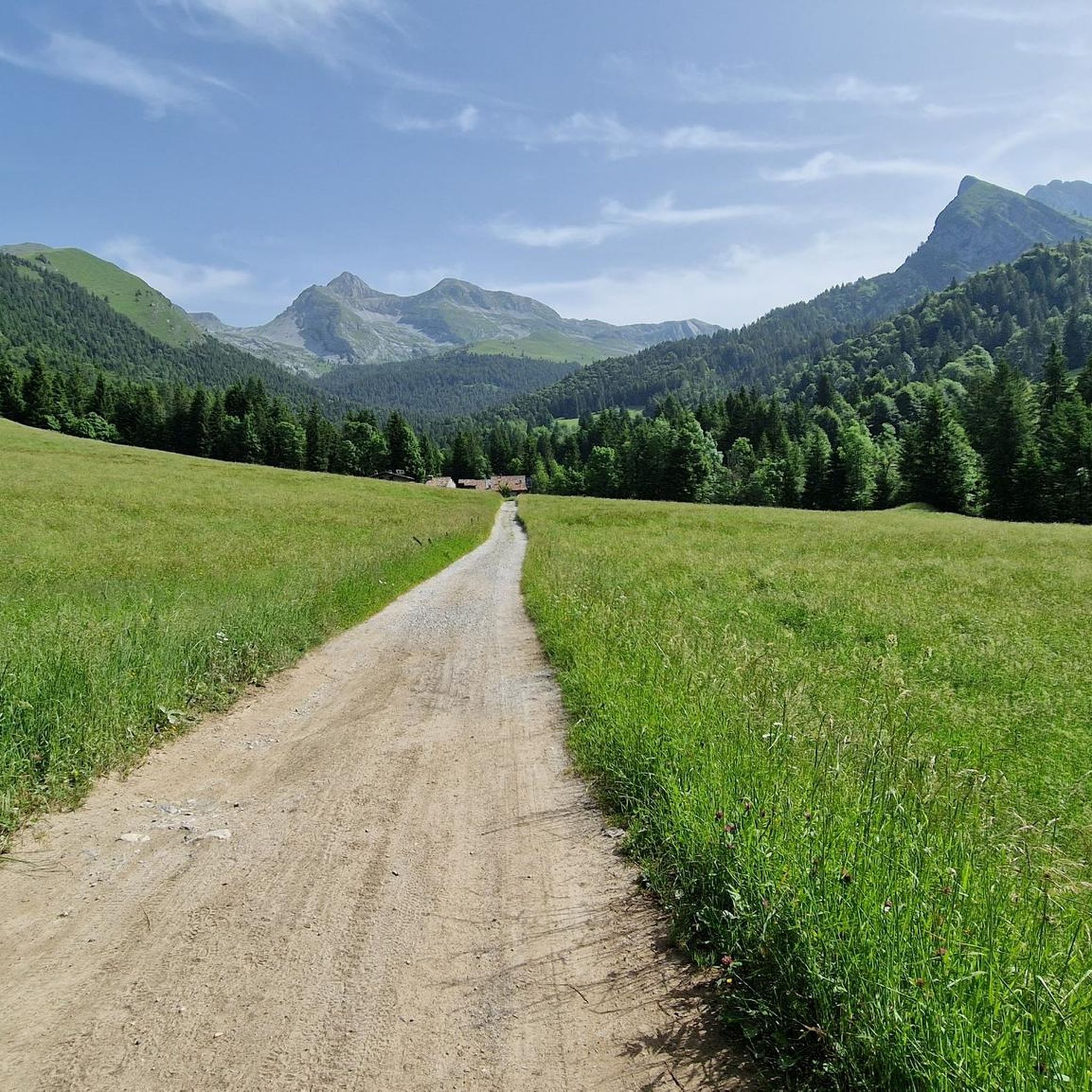
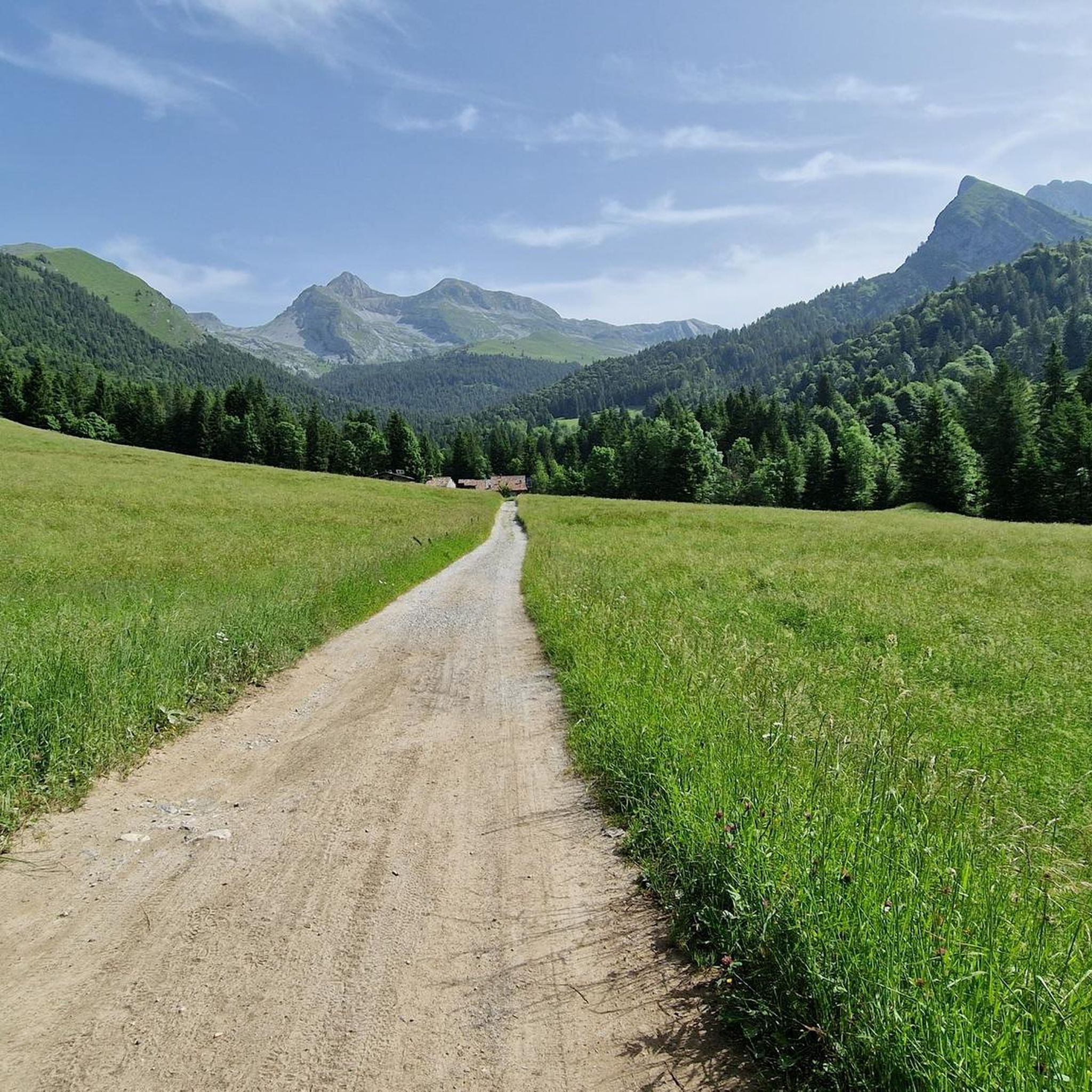
going up from the valley, arriving along the meadow that precedes the huts immersed in the greenery, it is all very impressive
1
0

Serene environment and beautiful view
1
0

Panoramic point. But I didn't find any more information online
0
0
The Baite del Moschel are located in Valzurio, a splendid valley in the Val Seriana, in the province of Bergamo. They are a group of six huts located at 1265 meters above sea level, immersed in a natural amphitheater of meadows, woods and crystal-clear water springs2. The hike to reach them is easy and suitable for everyone, with a difference in altitude of about 315 meters and a travel time of about 2 hours. The simplest route starts from the Spinelli area, where you can leave your car and follow a comfortable dirt road. A more adventurous alternative is the CAI 340 trail, which goes up the Ogna stream through beech and maple woods. Along the way you will come across the Fopa Fosca, a curious source of cold air that was once used to preserve milk and cheese. Just before arriving at the huts, you can visit the Buco del Freddo, a stone construction that served as a natural refrigerator. Once you reach the huts, you can stop for a picnic and enjoy the tranquility of the place. In the past, this area was used for the extraction of barite, a precious mineral
1
0
The Tribulina dei Morti della Montagnina is a small place of worship located along the path that connects Pizzo Formico to the Rifugio Parafulmine, in Val Gandino, province of Bergamo. History and meaning: Origins: The tribulina was erected in memory of some people who died in this area, probably due to events related to the mountain. Location: It is located at about 1485 meters above sea level, along the hiking trail that crosses Forcella Larga. Access: Reachable via the CAI 549 path, which connects Farno to the Rifugio Parafulmine. Landscape: Surrounded by meadows and woods, with a panoramic view of the Valle del Lujo and Val Gandino.
0
0
Frequently Asked Questions
How many hiking trails are available around Rovetta?
Rovetta offers a wide range of hiking experiences with over 60 trails. This includes 15 easy routes perfect for a relaxed stroll, 30 moderate paths, and 19 challenging trails designed for experienced trekkers seeking significant elevation changes.
What do other hikers say about the trails in Rovetta?
The komoot community highly rates Rovetta's trails, with an average score of 4.7 stars from over 800 reviews. Hikers often praise the diverse mountainous terrain, varied elevation, and the stunning alpine scenery. Over 4,700 visitors have used komoot to explore the area.
Are there any family-friendly hiking options in Rovetta?
Yes, Rovetta offers 15 easy hiking routes suitable for families. These paths typically feature less elevation gain and are shorter in duration, making them ideal for walks with children. While specific stroller-friendly routes are not detailed, the easier trails provide a good starting point for family outings.
Are there any circular hiking routes in Rovetta?
Yes, many trails in Rovetta are designed as loops. For example, the challenging Montagnina, San Lucio, L'Alpe and Monte Fogarolo - Ring tour is a popular 15.8 km circular route that takes about 6 hours to complete through mountainous terrain.
Where can I find trails with waterfalls near Rovetta?
Rovetta is close to several impressive waterfalls. You can explore trails leading to the majestic Serio Falls, the Sanguigno Stream Waterfalls, or the Whale Waterfall. These natural features add a spectacular element to your hiking experience.
What kind of terrain can I expect on the trails around Rovetta?
The terrain around Rovetta is predominantly mountainous, offering significant elevation changes. You'll encounter everything from forest paths, like the Valzurio forest trail to Rifugio Rino Olmo, to rugged alpine landscapes on routes such as Trail 314 from Baite del Möschel to Passo degli Omini. This variety ensures options for different skill levels and preferences.
Are there any challenging mountaineering routes for experienced hikers?
Yes, Rovetta is known for its challenging routes with substantial elevation gain. Trails like the Trail 314 from Baite del Möschel to Passo degli Omini, which involves over 1,300 meters of ascent, offer a demanding mountaineering experience. These routes require good fitness and alpine experience.
What are some notable natural attractions or landmarks to see while hiking?
Beyond the trails themselves, the Rovetta area boasts several natural and historical landmarks. You can visit the impressive Gleno Dam and Lake, the serene Barbellino Reservoir, or reach the Summit of Pizzo Formico for panoramic views. The historic Savina Chapel also offers a cultural point of interest.
What is the best time of year to go hiking in Rovetta?
The mountainous environment around Rovetta makes spring through autumn generally the best seasons for hiking. During these months, the weather is more stable, and trails are typically free of snow, allowing access to a wider range of routes. Always check local weather conditions before heading out.
Are there any trails that lead to mountain huts or refuges?
Yes, some trails in Rovetta lead to mountain huts, providing a destination for a break or an overnight stay. The Valzurio forest trail to Rifugio Rino Olmo is a moderate route that takes you directly to a mountain refuge, offering a chance to experience local hospitality amidst the alpine scenery.
Are there any dog-friendly hiking trails in Rovetta?
While specific regulations for dogs on every trail vary, many of Rovetta's natural paths are generally accessible for dogs, especially the easier and moderate routes. It's always recommended to keep dogs on a leash, especially in areas with wildlife or livestock, and to carry waste bags. Always check local signage for any specific restrictions.
Most popular routes around Rovetta
Most popular attractions around Rovetta

Get inspired with the komoot mobile app


Explore more
Browse the best Hikes in other regions.
