The best walks and hikes around Premolo
4.5
(3806)
21,040
hikers
13
hikes
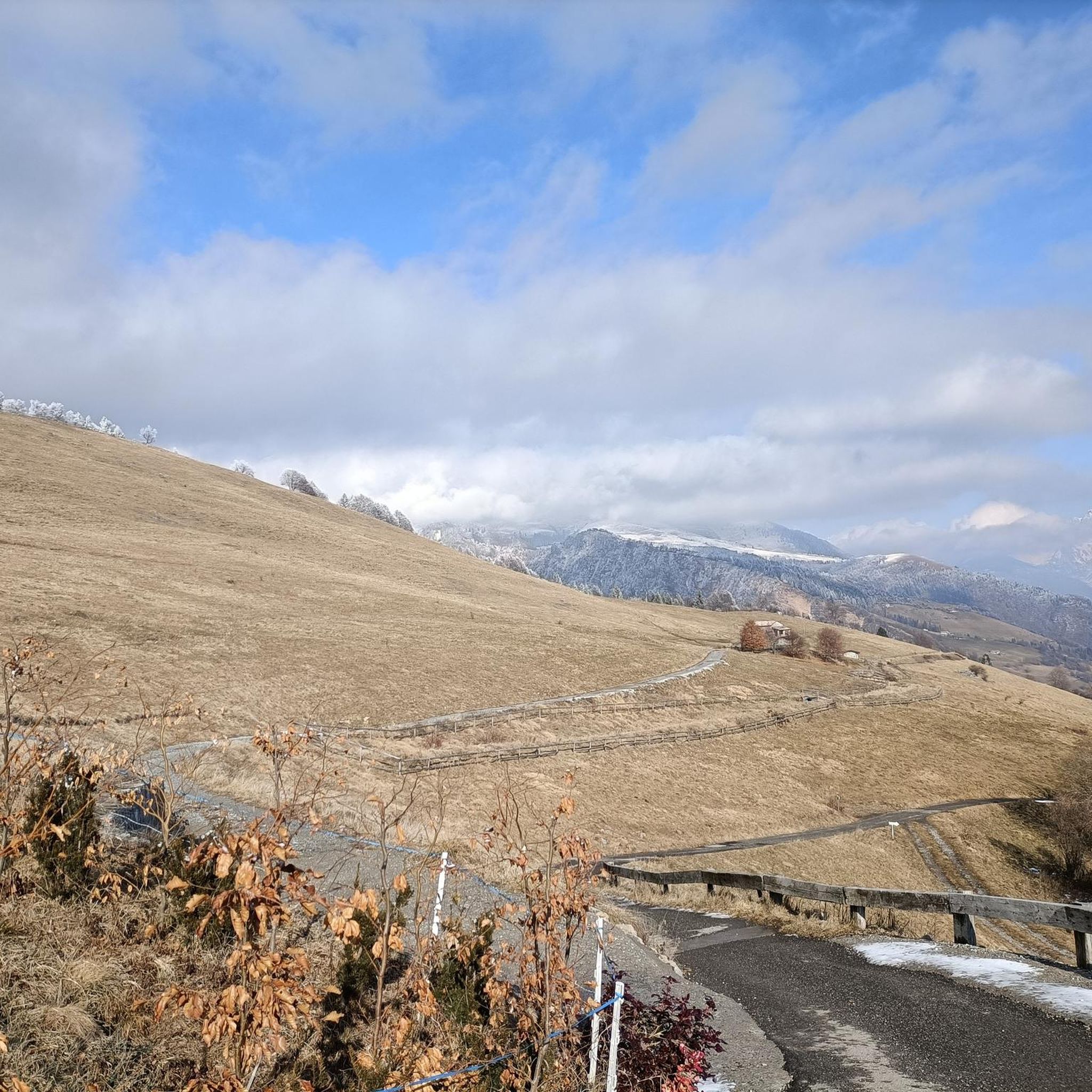
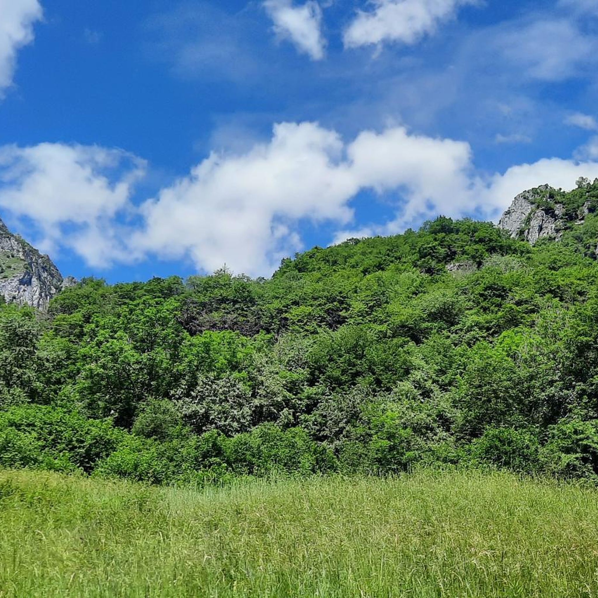
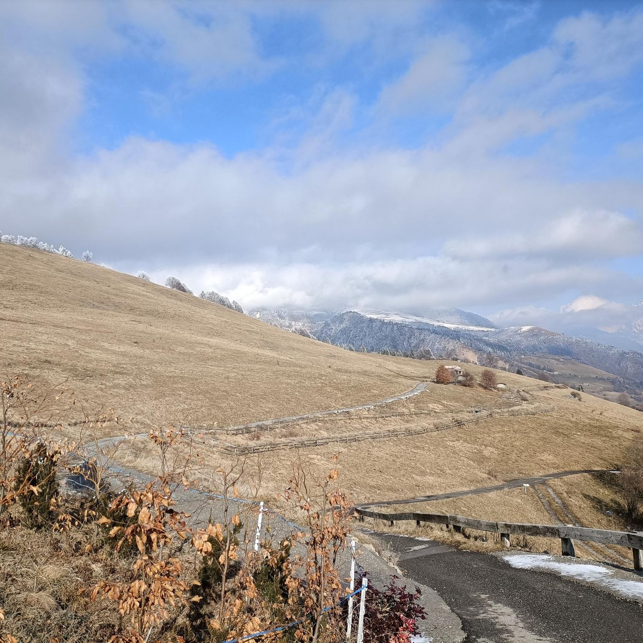
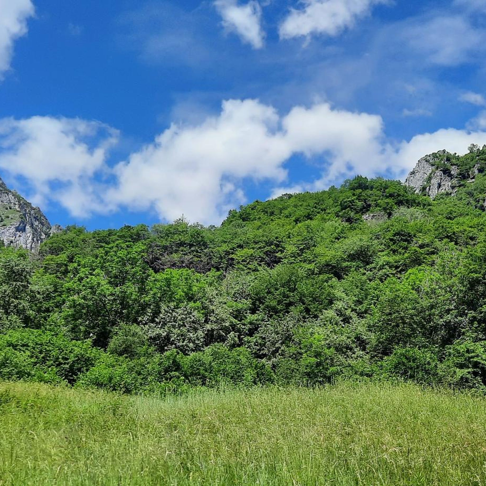
Hiking around Premolo offers access to the diverse landscapes of the Orobie Mountains in the Bergamo area. The region features a blend of majestic mountains, serene lakes, dense woodlands, and verdant pastures. Trails traverse varied ecosystems, from thick forests to open green pastures on mountain slopes, with some sections reaching steep inclines. This area provides a scenic backdrop for outdoor activities, catering to a range of hiking abilities.
Best hiking trails around Premolo
- The most popular hiking route is Val…
Last updated: October 10, 2026
3.0
(2)
6
hikers
17.2km
08:09
1,270m
1,270m
Hike the difficult Val Dossana to Baita Santamaria Trail (CAI 242) for 10.7 miles through varied terrain and mountain views.
1
hikers
12.8km
06:33
1,060m
1,060m
Peaceful valley walk leads to vast alpine plains where cattle graze and shepherds tend flocks.

4.5
(6)
26
hikers
8.74km
03:07
300m
300m
Moderate hike. Good fitness required. Mostly accessible paths. Sure-footedness required.
5.0
(6)
24
hikers
12.1km
05:02
610m
610m
Hard hike. Very good fitness required. Mostly accessible paths. Sure-footedness required.
5.0
(2)
14
hikers
18.5km
07:47
1,300m
1,300m
Hard hike. Very good fitness required. Sure-footedness, sturdy shoes and alpine experience required.
Get access to more routes and recommendations from other explorers.
Already have an account?
Our route recommendations are based on thousands of hikes, rides, and runs completed by other people on komoot.
Start today with a free account
Your next adventure awaits.

Tips from the Community

Departure from the car park before the Gorno mines, on the right path to the Tellini refuge then right for Monte Pulpito and left for the Misteri refuge, return to the Tellini path on the right under the Mistri refuge and return to the car park...
0
0

Important CAI signpost with indications for the Tellini bivouac and the peaks of Grem and Foppazzi, as well as for the Santamaria in Leten hut and other destinations
0
0
Panoramic pass located at about 1970m above sea level, it offers a beautiful view of the surrounding peaks, from Grem, to Arera, to Menna, to the Foppazzi peak. It is also the meeting point and junction of various paths that lead to the two peaks (Grem and Foppazzi) but also towards Arera and towards the Mistri Bivouac. The path to reach it is easy
0
0
Bivouac nestled in a wonderful place, with the curves of the plateau and the surrounding mountains that create fascinating plays of light and shadow. Easy path to reach it starting from the Zambla pass
0
0
Beautiful panoramic peak from which you can admire many peaks of the Orobic Alps and beyond, the closest ones; Alben, Menna, Arera, Foppazzi. The climb is quite steep but does not present particular difficulties or dangers. However, you must always be careful with how much. In winter, crampons are recommended (if not mandatory in case of icy snow)
1
0

Mount Grem is a 2049 m high mountain in the Bergamo Prealps, located between the Riso valley (lateral side of the Seriana valley) and the Serina valley (lateral side of the Brembana valley), in the province of Bergamo. The paths to get to the top are not exposed, although steep in some sections
2
0

so much effort to get there... but what an immense satisfaction💯
0
0

tiring climb with bike on the shoulder. descent on a phenomenal ridge path
0
0
Frequently Asked Questions
What types of landscapes can I expect to see while hiking around Premolo?
Hiking around Premolo offers a diverse range of landscapes within the Orobie Mountains. You'll encounter majestic mountains, serene lakes like the Laghi Gemelli, dense woodlands, and verdant pastures. Trails often alternate between thick forests and open green slopes, providing varied scenery throughout your journey.
How many hiking trails are available in the Premolo area?
There are over 10 hiking routes available around Premolo, catering to various skill levels. The komoot community has explored more than 13 distinct trails in the region.
Are there any easy hiking trails suitable for beginners or families in Premolo?
Yes, Premolo offers trails for all abilities. While many routes are moderate to difficult, there is at least one easy trail available. For a moderate option, consider the Madonnina dei Pensionati loop from Premolo, which is 5.4 miles (8.7 km) and leads through local woodlands and pastures.
What is the general difficulty level of hikes around Premolo?
The trails around Premolo range from easy to difficult. You'll find 1 easy route, 4 moderate routes, and 8 difficult routes, ensuring options for both casual walkers and experienced trekkers. Some sections can have steep inclines of around 25%.
Are there any circular hiking routes in Premolo?
Yes, there are several circular routes available. A popular choice is the Madonnina dei Pensionati loop from Premolo, which is a moderate 5.4 miles (8.7 km) trail. Another option is the Selva Bridge on the Serio River loop from Premolo, a moderate 10.2 miles (16.5 km) route.
What are some notable natural features or landmarks to look out for on the trails?
The Orobie Mountains themselves are a major feature, offering panoramic views. You can also explore the area around the Laghi Gemelli Mountain Hut, which is near the beautiful Laghi Gemelli (Twin Lakes). The Summit of Pizzo Formico is another significant landmark offering stunning vistas.
Are there mountain huts or places to rest along the hiking routes in Premolo?
Yes, the region is well-equipped with mountain huts that serve as excellent resting points. Notable huts include Capanna 2000 Hut, Laghi Gemelli Mountain Hut, Parafulmine Hut, and Alpe Corte Hut. These often offer refreshments and traditional local cuisine.
What do other hikers say about the trails in Premolo?
The hiking routes in Premolo are highly rated by the komoot community, with an average score of 4.5 stars from over 3200 reviews. Hikers often praise the diverse terrain, the stunning mountain scenery, and the well-maintained network of trails that lead to beautiful viewpoints and welcoming mountain huts.
What is the best time of year to go hiking in Premolo?
Premolo offers hiking opportunities across different seasons. While specific seasonal advice depends on the trail, the region's diverse ecosystems, from dense woodlands to open pastures, provide engaging experiences from spring through autumn. Some huts, like Rifugio Parafulmine, are also accessible with snowshoes in winter for those seeking a different kind of adventure.
Are there any challenging multi-hour hikes in Premolo?
Absolutely. For experienced hikers seeking a challenge, the Val Dossana to Baita Santamaria Trail (CAI 242) is a difficult 10.7 miles (17.2 km) route that takes about 8 hours to complete, ascending through mountain terrain. Another demanding option is the Valle Nossana to Valmora Plains, an 8.0 miles (12.8 km) difficult path exploring valleys and open plains.
Can I bring my dog on the hiking trails around Premolo?
While specific regulations for each trail may vary, many outdoor areas in the Orobie Mountains are generally dog-friendly. It's always recommended to keep your dog on a leash, especially in areas with livestock or wildlife, and to check local signage for any restrictions on individual routes.
What kind of terrain should I expect on the hiking paths?
The trails around Premolo feature varied terrain. You can expect paths that alternate between concrete and stones, with sections winding through thick forests and others crossing open green pastures. Some routes include steep inclines, particularly in the more challenging mountain areas.
Most popular routes around Premolo
Most popular attractions around Premolo

Get inspired with the komoot mobile app


Explore more
Browse the best Hikes in other regions.
