The best mountain hikes around Ronzo-Chienis
4.8
(871)
7,024
hikers
72
hikes
Mountaineering around Ronzo-Chienis offers diverse landscapes within Trentino's Val di Gresta, characterized by scenic terraced fields and lush forests. The region is surrounded by prominent mountains such as Monte Stivo, Monte Biaena, and Monte Creino, providing varied terrain for exploration. These features contribute to panoramic views of Lake Garda, the Adige Valley, and the wider Vallagarina.
Best mountaineering routes around Ronzo-Chienis
- The most popular mountaineering route is Colodri Via Ferrata – Colodri Karst Landscape loop from Arco, a difficult…
Last updated: October 9, 2026
4.8
(144)
1,210
hikers
5.00km
01:59
250m
260m
Hard mountaineering route. Great for any fitness level. Sure-footedness, sturdy shoes and alpine experience required.
4.8
(13)
110
hikers
Moderate mountaineering route. Good fitness required. Mostly accessible paths. Sure-footedness required.

4.8
(9)
51
hikers
9.72km
03:20
390m
390m
Moderate mountaineering route. Good fitness required. Mostly accessible paths. Sure-footedness required.
4.0
(1)
26
hikers
8.18km
03:08
400m
400m
Hard mountaineering route. Good fitness required. Sure-footedness, sturdy shoes and alpine experience required.
24
hikers
Hard mountaineering route. Great for any fitness level. Sure-footedness, sturdy shoes and alpine experience required.
Get access to more routes and recommendations from other explorers.
Already have an account?
Our route recommendations are based on thousands of hikes, rides, and runs completed by other people on komoot.
Start today with a free account
Your next adventure awaits.
Popular around Ronzo-Chienis
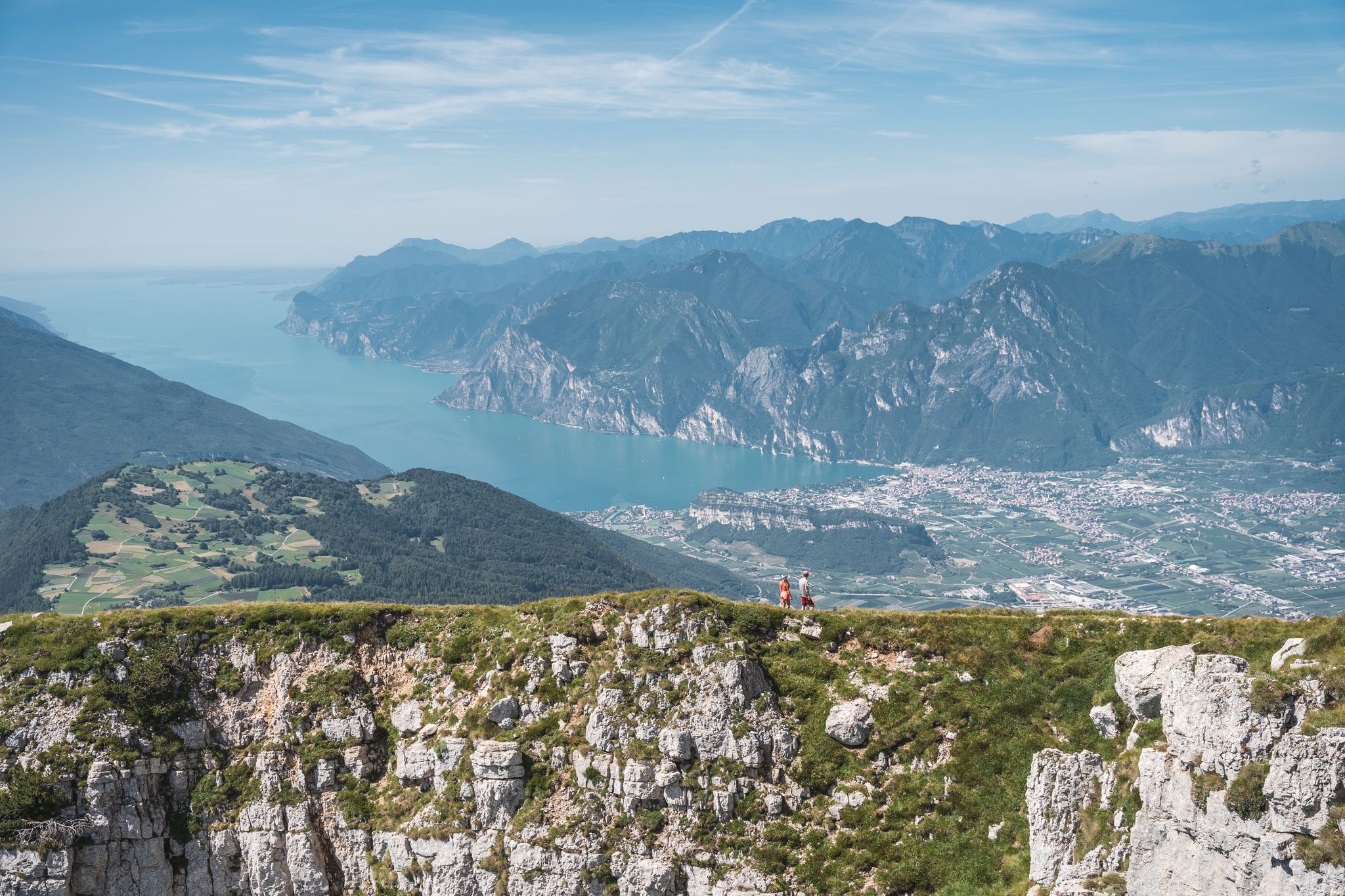
Trails and panoramas – hiking in Garda Trentino
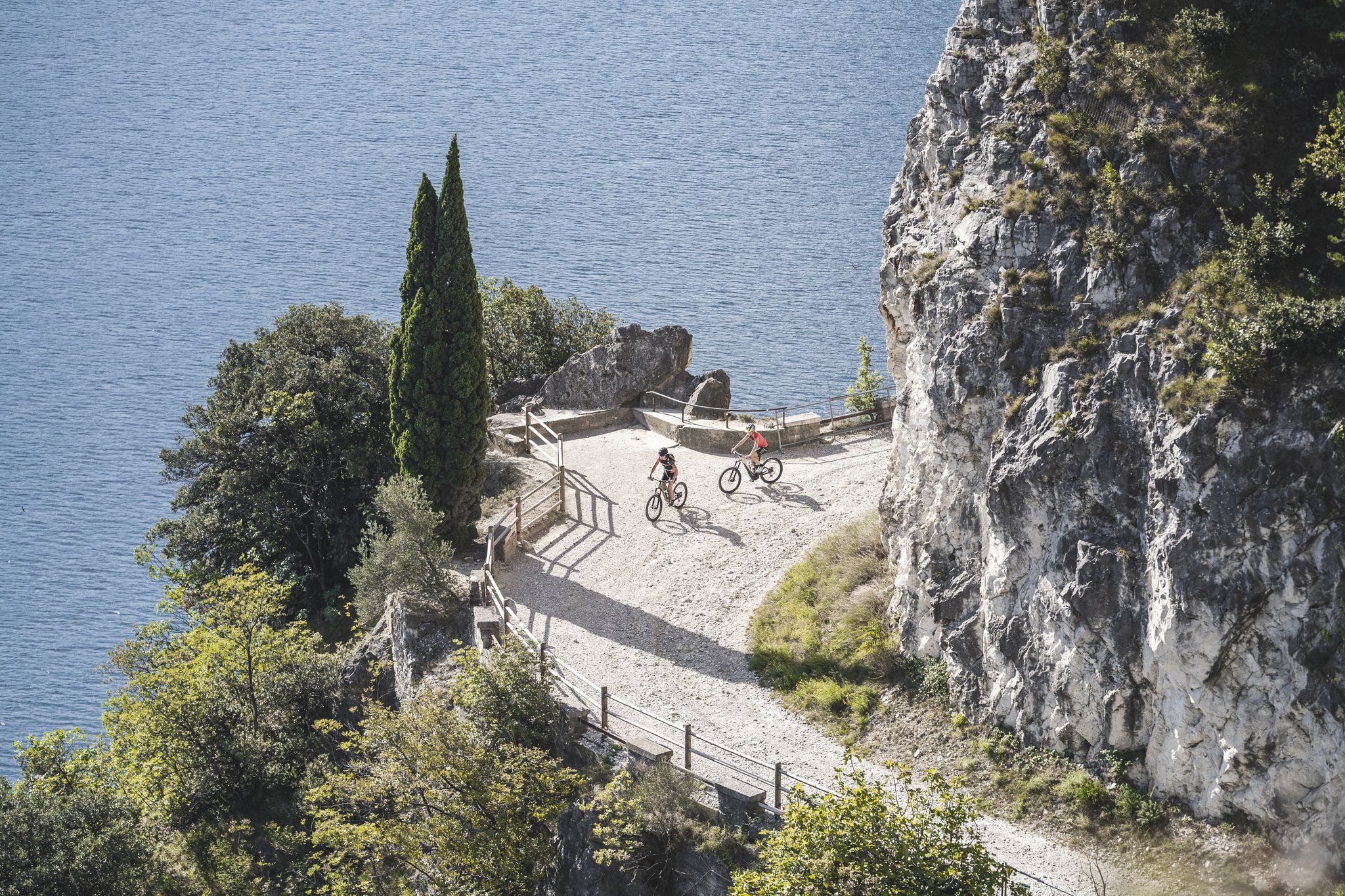
MTB in Garda Trentino – trails, panoramas and fun

The Path of Peace – journey into Trentino's history
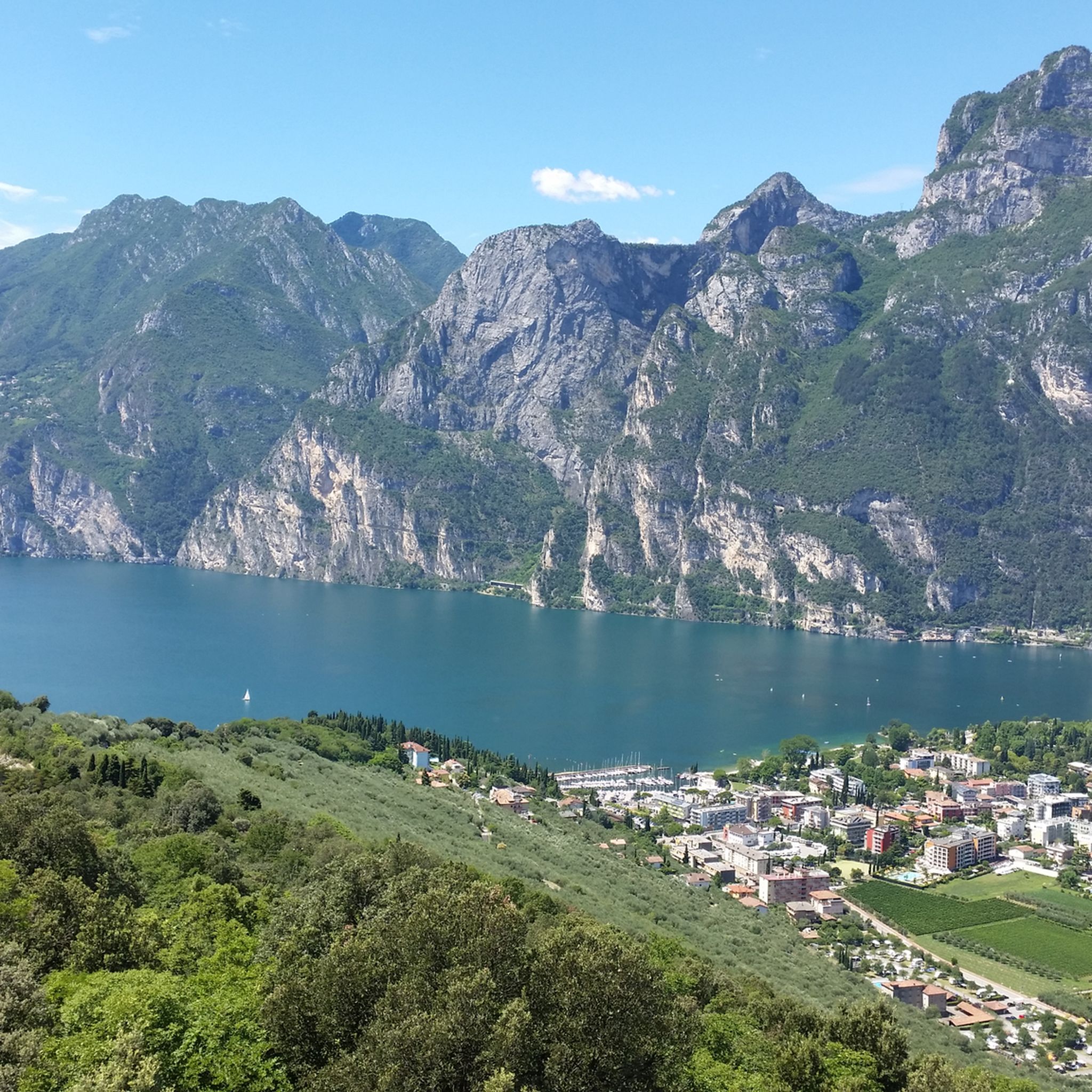
Hiking around Ronzo-Chienis
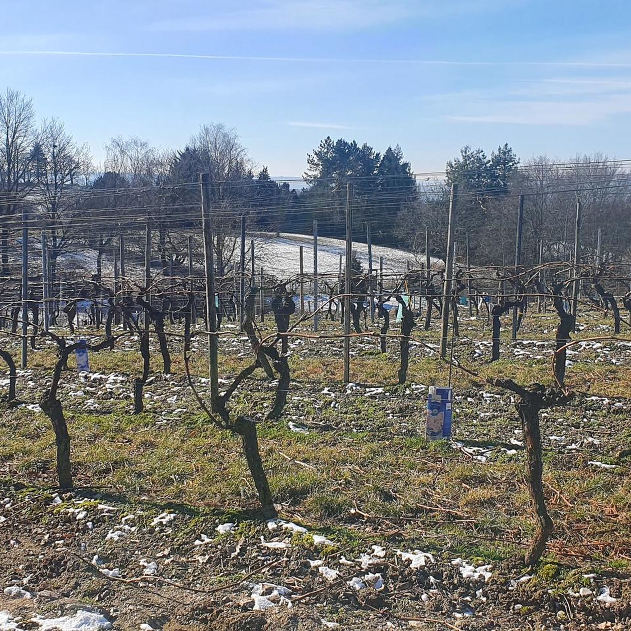
Gravel biking around Ronzo-Chienis
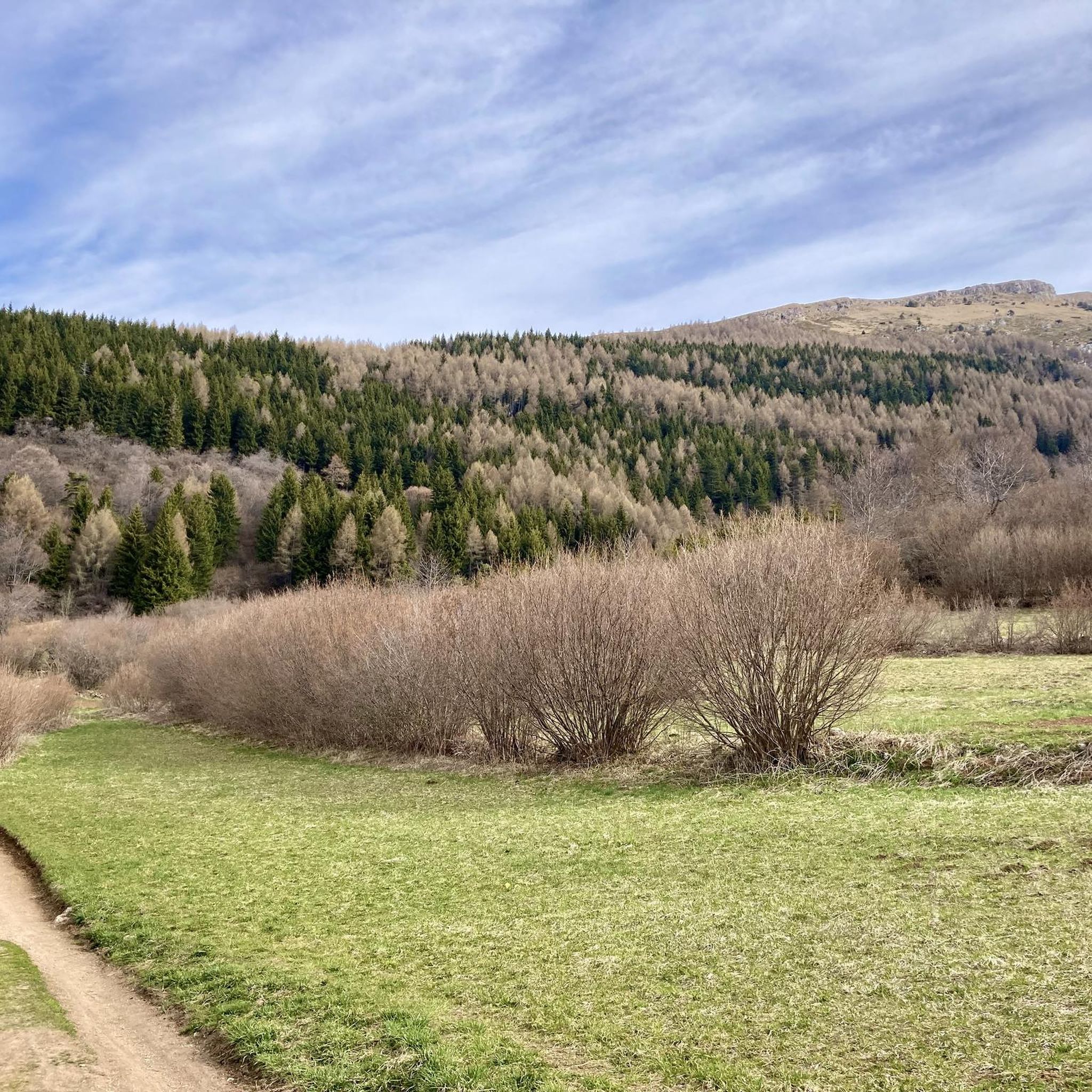
Cycling around Ronzo-Chienis
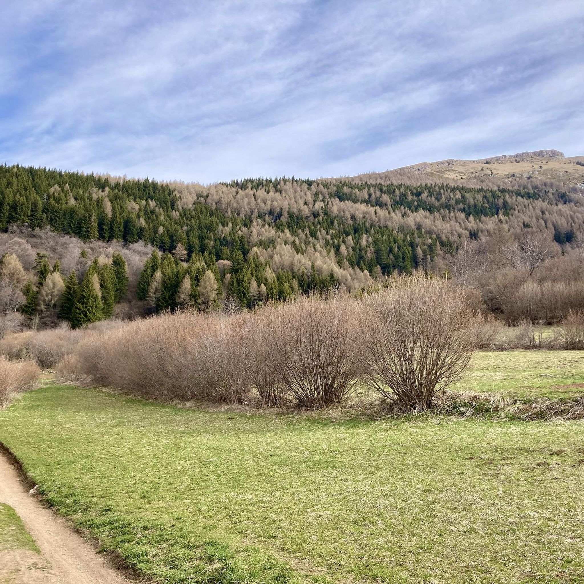
Road Cycling Routes around Ronzo-Chienis
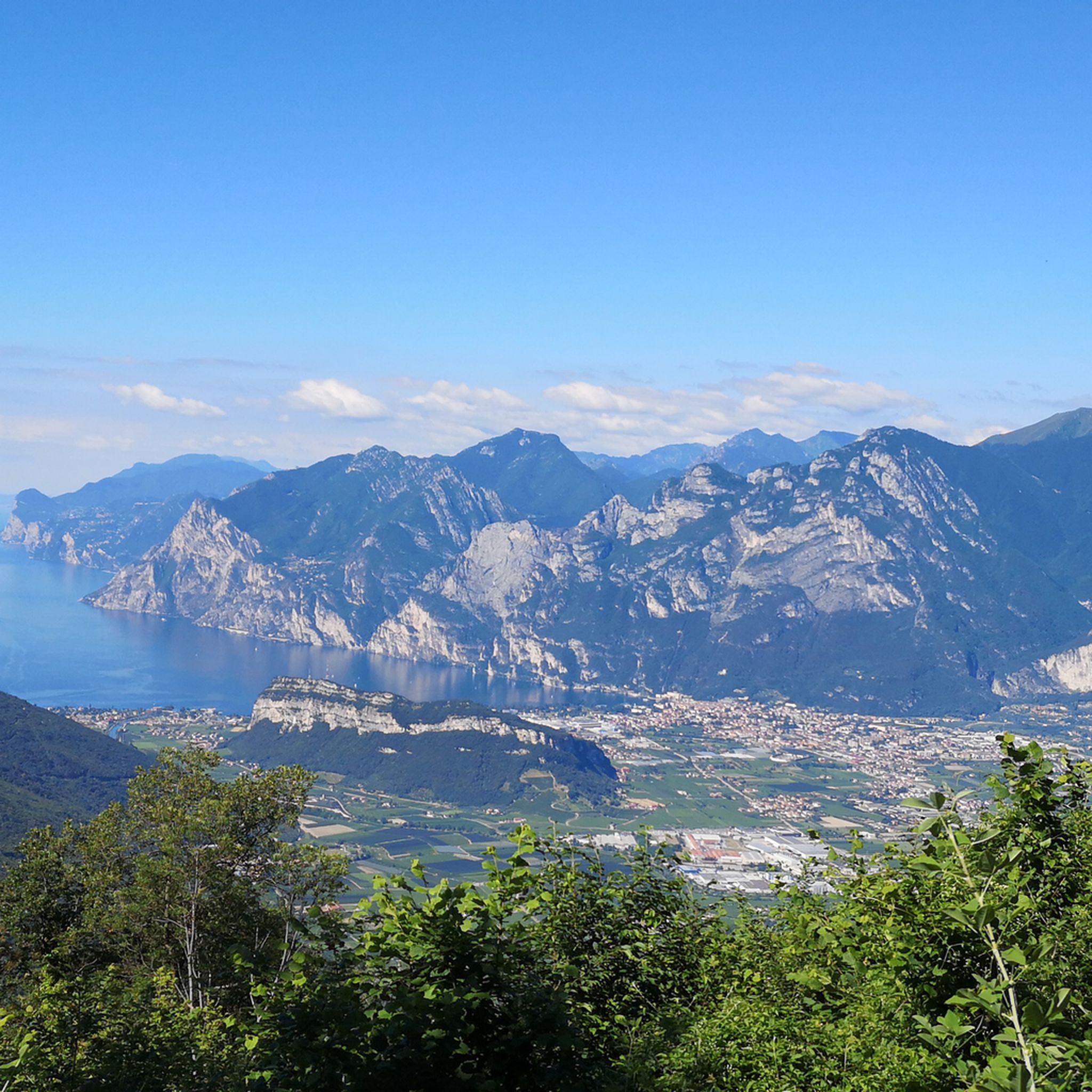
MTB Trails around Ronzo-Chienis
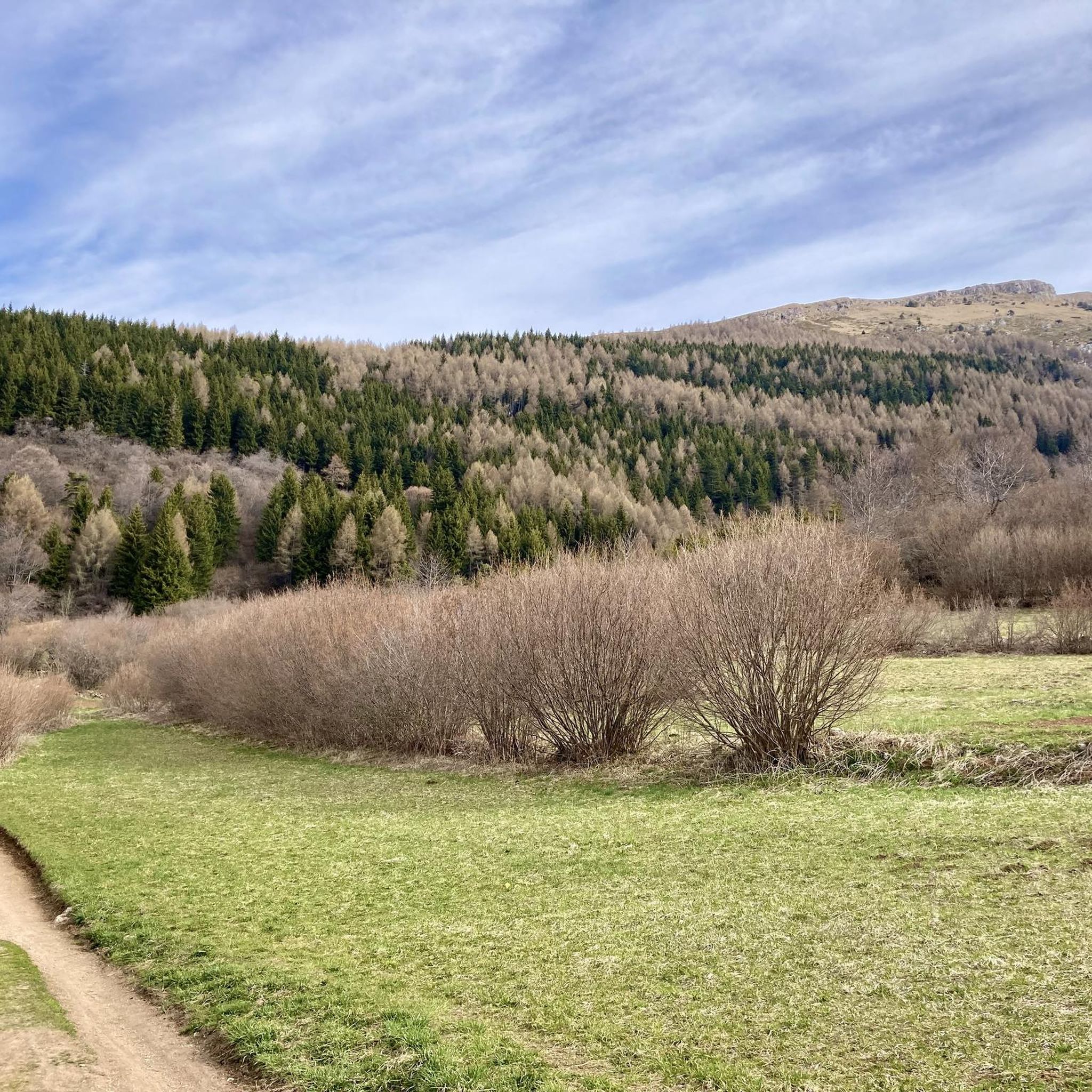
Running Trails around Ronzo-Chienis


Tips from the Community

The castle is perched on a rugged rocky spur, from which it dominates the Alto Garda plain. Of the ancient fortress, the towers, part of the curtain walls and some ruined buildings remain intact, having suffered numerous assaults over the centuries. The last was that of the French troops in August 1703, while the War of the Spanish Succession was being fought. Inside Arco Castle, thanks to a recent restoration, you can visit the Stone Prison (Prigione del Sasso) and the Great Tower (Torre Grande), whose walls are decorated with a splendid cycle of profane 14th-century frescoes depicting ladies playing chess.
0
0
Arco si estende dalla piana del fiume Sarca fino alle pendici del Monte Stivo, con quote che vanno da poche decine di metri fino oltre i 2.000. La vicinanza al lago di Garda e il riparo offerto dai rilievi garantiscono temperature miti, che permettono la crescita di ulivi, cipressi e piante mediterranee accanto a specie di montagna. Nel centro storico ritrovi tracce dell’eredità asburgica nei palazzi signorili, nelle ville liberty e nel Parco Arciducale con il suo arboreto. Il castello medievale, posto in alto sulla rupe, è il riferimento visivo della città e testimonia il valore strategico di questo punto di passaggio verso la valle. Accanto al patrimonio storico, Arco ha sviluppato una forte identità legata allo sport all’aria aperta e agli eventi internazionali di arrampicata.
0
0

Splendid view over the entire Lake Garda from Torbole to Sirmione
0
0

Located on a panoramic rocky spur above the village of Dro, the Croce di Ceniga is a natural balcony overlooking the Sarca Valley. This place, reachable via a path that winds through the characteristic olive groves and Mediterranean vegetation of Garda Trentino, offers a spectacular view ranging from the sinuous bends of the river to the vertical walls of Monte Brento and Casale. The large iron cross that dominates the rocky outcrop is a symbol of devotion and a landmark visible from the valley floor. The excursion to get there offers an immersive experience in the landscape of the Marocche, where limestone rock and the scent of holm oak create a suggestive contrast with the blue sky and the intense green of the vineyards below.
0
0

Great via ferrata with a rewarding destination (view!!!) and also well suited for beginners and children.
0
0
Great little town with winding narrow streets and many small shops, cafes, and restaurants! An ice cream at the church square is always a good idea!
0
0

At the top of the mountain, you walk on a kind of stone sea with great patterns in the stones. Surefootedness necessary.
0
0

A gem with a castle ruin. Very picturesque.
0
0
Frequently Asked Questions
How many mountaineering routes are available around Ronzo-Chienis?
There are over 79 mountaineering routes around Ronzo-Chienis, offering a wide range of options for all skill levels. These include 4 easy, 27 moderate, and 48 difficult trails.
What kind of terrain can I expect on mountaineering routes in Ronzo-Chienis?
The terrain around Ronzo-Chienis is diverse, featuring scenic terraced fields with distinctive dry stone walls, lush forests, and rugged mountainous paths. You'll encounter varied landscapes from the Val di Gresta to the peaks of Monte Stivo, Monte Biaena, and Monte Creino.
Are there any family-friendly mountaineering routes in Ronzo-Chienis?
Yes, Ronzo-Chienis offers several routes suitable for families. While specific family-friendly mountaineering routes are not detailed, the region has paths through secular forests and easier trails that can be enjoyed by those with children. Always check the difficulty and duration before heading out.
Can I bring my dog on the mountaineering trails around Ronzo-Chienis?
Many trails in the Ronzo-Chienis area are dog-friendly, allowing you to explore with your canine companion. It's always advisable to keep dogs on a leash, especially in protected areas or near livestock, and to carry enough water for both yourself and your pet.
What are some notable landmarks or viewpoints I can discover on these routes?
The region is rich in panoramic views. You can enjoy magnificent vistas of Lake Garda, the Adige Valley, and the entire Vallagarina. Key viewpoints include Monte Stivo, offering spectacular views over Lake Garda, and Monte Biaena, with extensive views of the Adige valley. Historical sites like the trenches of Nagià Grom, Monti Biaena, and Creino, remnants of the Great War, are also along some routes. For specific highlights, consider exploring the Ponale Trail or the Busatte-Tempesta Panoramic Trail.
Are there any circular mountaineering routes available?
Yes, there are several circular routes. For example, the Scenic balcony – Montalbano Sanctuary loop from Mori is a moderate 3.2-mile (5.2 km) path offering extensive panoramic views. Another option is the View of Lake Garda – Rifugio Stivo "P. Marchetti" loop from Ronzo-Chienis, a 6.0-mile (9.6 km) trail leading through mountainous terrain.
What is the best time of year for mountaineering in Ronzo-Chienis?
The region benefits from a cool climate influenced by lake breezes, making it comfortable for exploration for much of the year. Spring and autumn offer pleasant temperatures and beautiful scenery, while summer provides longer daylight hours. Winter offers unique experiences like moonlit snowshoe walks, but requires appropriate gear and awareness of snow conditions.
Are there any waterfalls to see along the routes?
While the immediate mountaineering routes may not directly feature large waterfalls, the wider area around Ronzo-Chienis is home to impressive cascades. You can visit the Varone Waterfall and Botanical Garden or the Waterfall and Grotto at Parco Grotta Cascata Varone, which are popular attractions nearby.
What do other mountaineers enjoy most about the routes in Ronzo-Chienis?
The routes in Ronzo-Chienis are highly rated by the komoot community, with an average score of 4.9 stars from over 800 reviews. Mountaineers often praise the spectacular panoramas, the diverse terrain ranging from terraced fields to rugged peaks, and the breathtaking views of Lake Garda and the surrounding valleys.
Where can I find parking for the trailheads in Ronzo-Chienis?
Parking is generally available near popular trailheads in and around Ronzo-Chienis, including access points for routes leading to Monte Stivo, Monte Creino, and Monte Biaena. Specific parking details can often be found on individual route descriptions or local signage.
Are there any easy mountaineering routes for beginners?
Yes, Ronzo-Chienis offers 4 easy mountaineering routes, perfect for beginners or those seeking a less strenuous experience. These trails often traverse through forests or terraced fields, providing a gentle introduction to the region's natural beauty without significant elevation gain.
What are some challenging mountaineering routes in the area?
For experienced mountaineers, Ronzo-Chienis boasts 48 difficult routes. A notable challenging option is the Colodri Via Ferrata – Colodri Karst Landscape loop from Arco, a difficult 2.8-mile (4.5 km) trail featuring technical walls within a karst landscape. Routes ascending Monte Stivo also offer significant challenges.
Are there cafes or pubs near the mountaineering routes in Ronzo-Chienis?
While specific cafes directly on the trails are limited, you will find options in Ronzo-Chienis itself and in nearby villages. Some routes, like the View of Lake Garda – Rifugio Stivo "P. Marchetti" loop from Ronzo-Chienis, lead to mountain huts (rifugios) such as Rifugio Stivo "P. Marchetti" where you can find refreshments.
Most popular routes around Ronzo-Chienis
Most popular attractions around Ronzo-Chienis

Get inspired with the komoot mobile app


Explore more
Browse the best Mountain Hikes & Routes in other regions.
