The best mountain hikes around Villa D'Ogna
4.6
(28)
186
hikers
4
hikes
Mountaineering around Villa D'Ogna is centered in the upper Seriana Valley, within Italy's Lombardy region, offering access to the Bergamo Alps. This area is characterized by impressive mountain reliefs and is part of the Orobie Bergamasche Park, a large natural area known for its diverse landscapes. The terrain features significant peaks, alpine lakes such as Lago del Diavolo, and grippy rock formations suitable for climbing. The confluence of the Ogna and Serio rivers further shapes the mountainous environment.
Best mountaineering…
Last updated: October 8, 2026
5.0
(1)
19
hikers
7.69km
03:29
660m
660m
Moderate mountaineering route. Good fitness required. Mostly accessible paths. Sure-footedness required.
4.3
(3)
23
hikers
12.0km
07:10
1,290m
1,290m
Hard mountaineering route. Very good fitness required. Sure-footedness, sturdy shoes and alpine experience required.

5.0
(2)
14
hikers
14.3km
06:17
1,000m
1,000m
Hard mountaineering route. Very good fitness required. Sure-footedness, sturdy shoes and alpine experience required.
3.6
(5)
13
hikers
9.88km
04:48
920m
920m
Hard mountaineering route. Very good fitness required. Sure-footedness, sturdy shoes and alpine experience required.
6
hikers
Hard mountaineering route. Very good fitness required. Sure-footedness, sturdy shoes and alpine experience required.
Our route recommendations are based on thousands of hikes, rides, and runs completed by other people on komoot.
Start today with a free account
Your next adventure awaits.
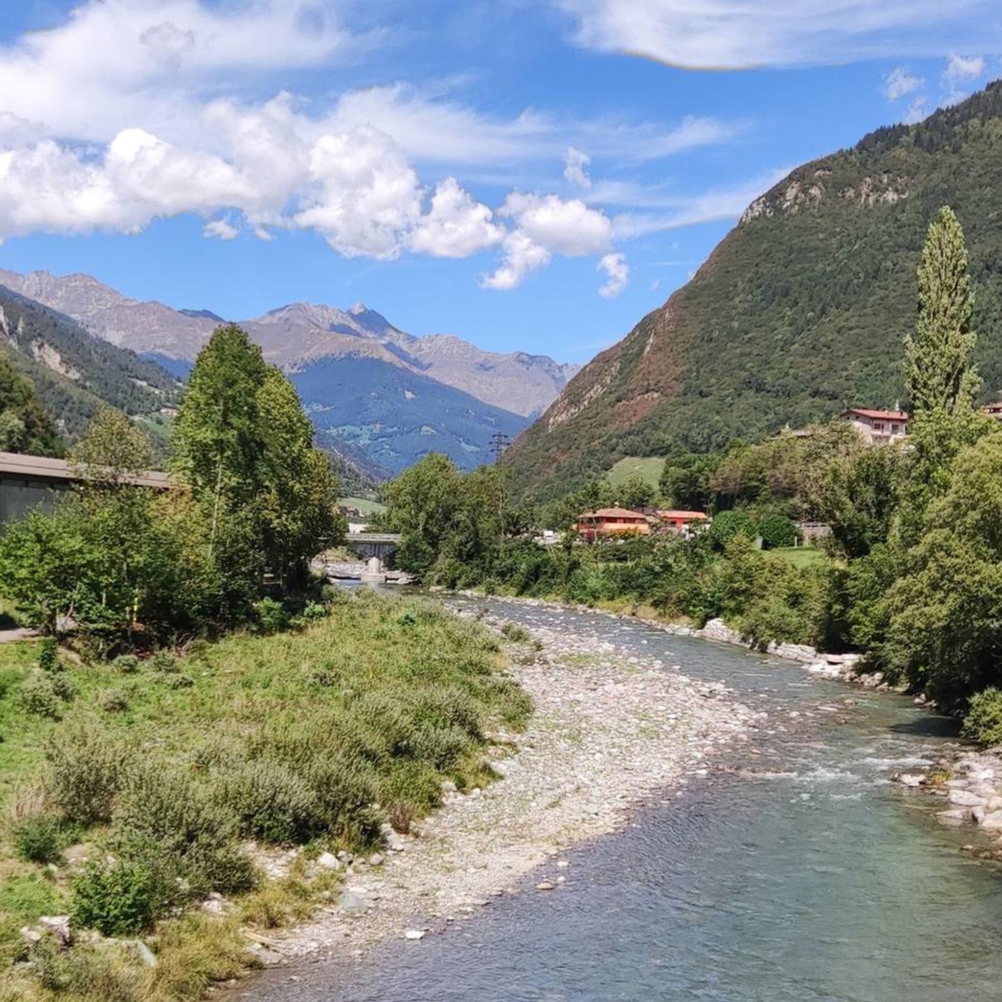
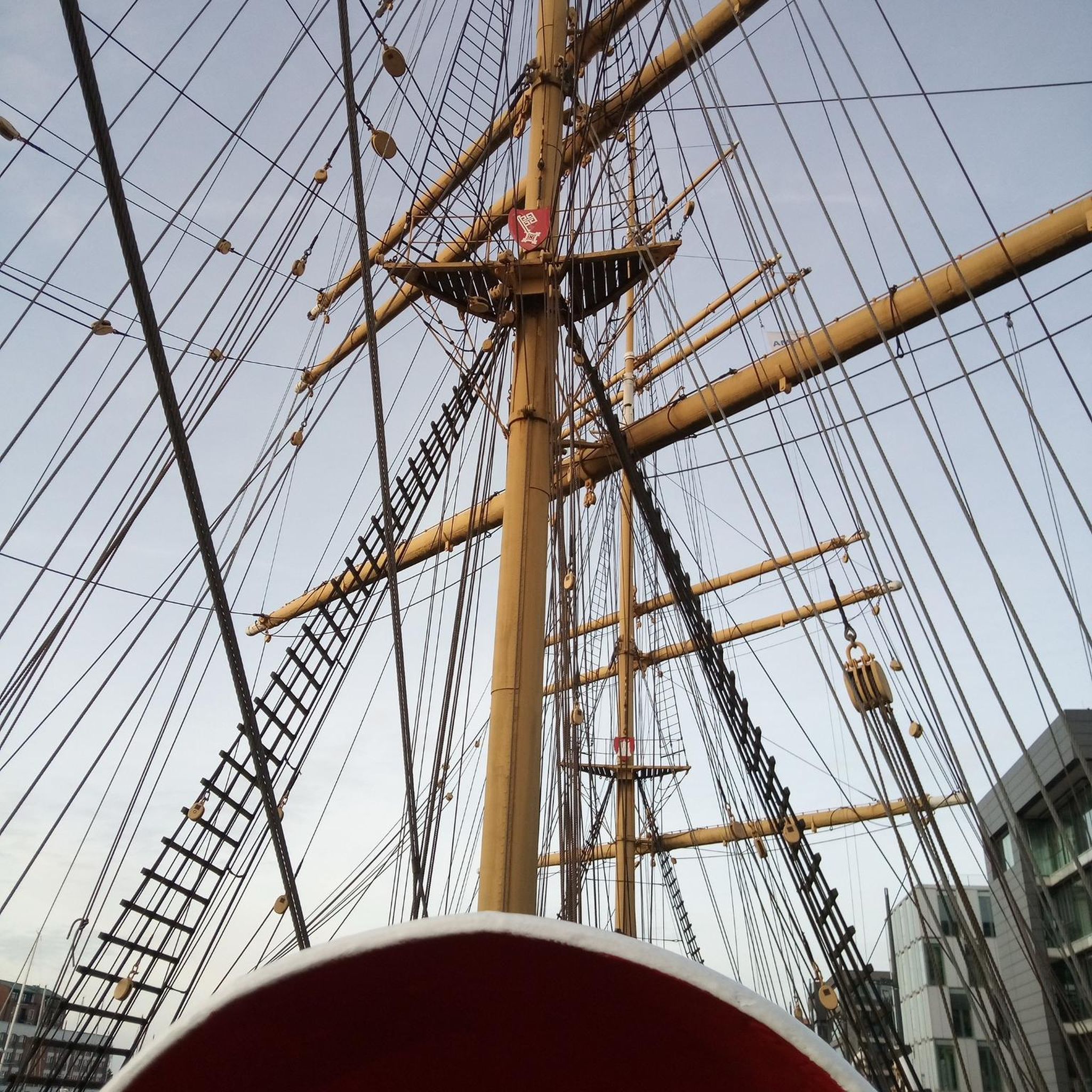
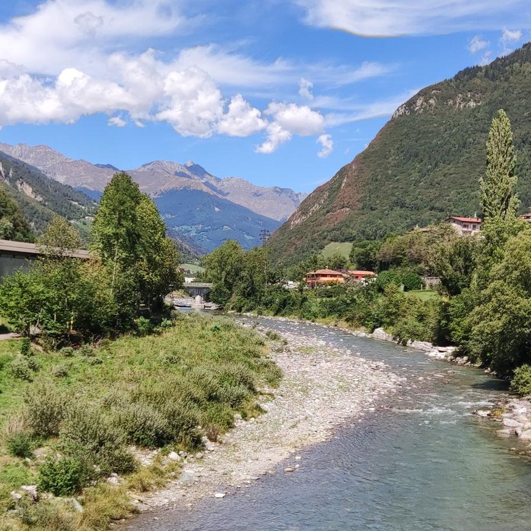
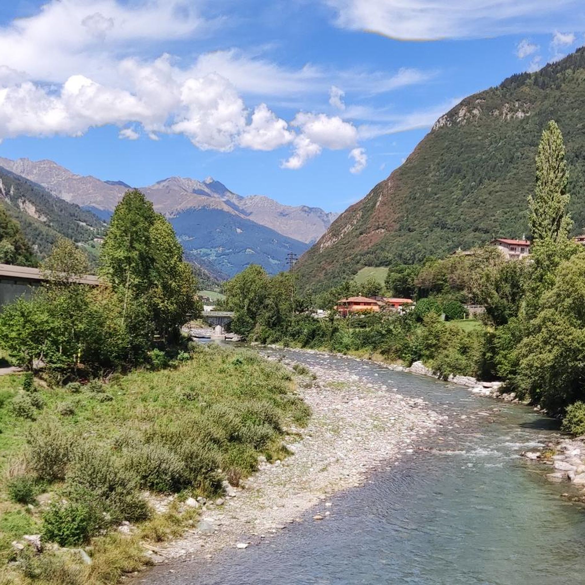
Tips from the Community

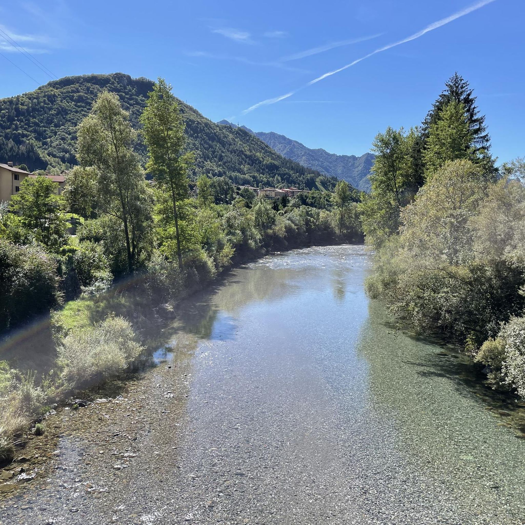
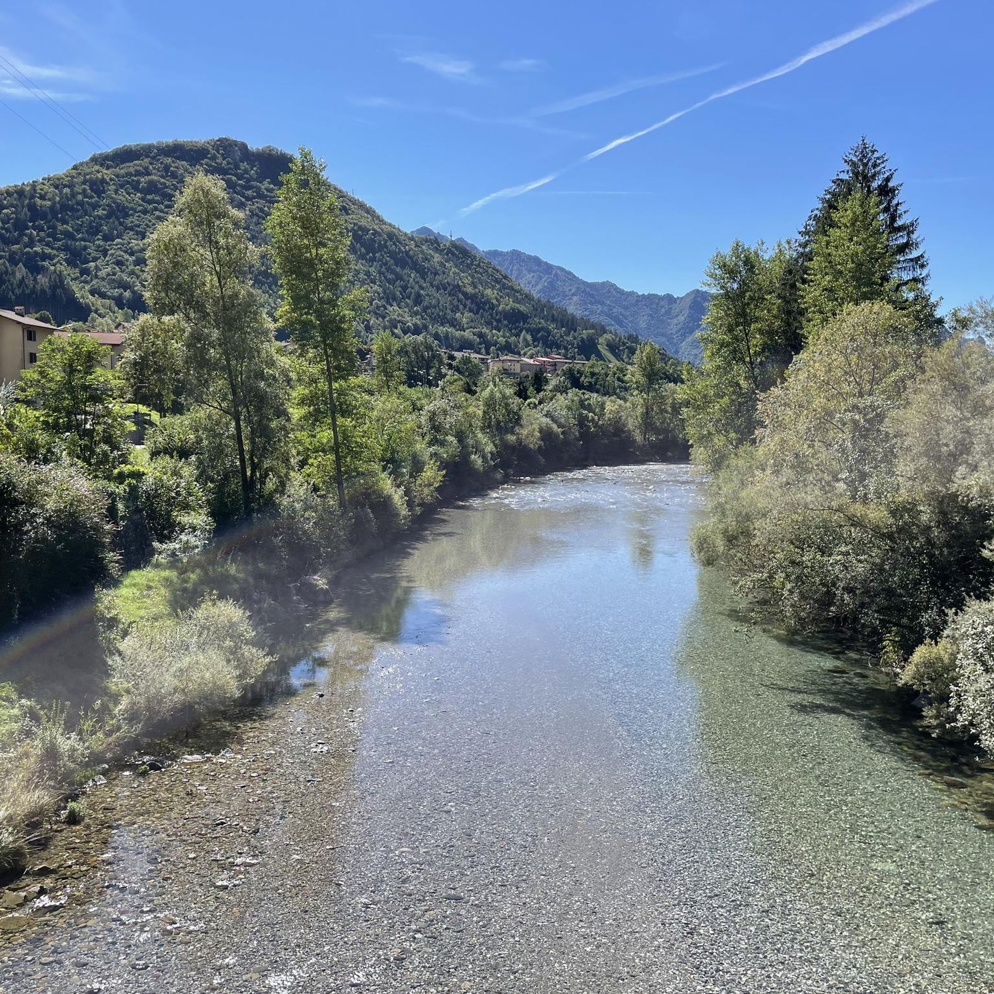
beautiful view and a nice place to pass through for many tours
1
0

On the summit of Pizzo Arera there is a cast iron cross that stands out against the fantastic panorama of the Orobie.
0
0

Monte Madonnino is a peak in the Orobie Alps, 2,502 meters high, located on the natural border between Val Brembana and Val Seriana. It owes its name to the small statue of the Madonna placed on the summit, an exceptional panoramic point from which you can admire giants such as Pizzo del Diavolo di Tenda and Monte Rosa.
0
0

departure point for excursions, the most popular being the flower trail. Be careful to display the ticket that can be purchased at the start of the climb.
0
0
halfway along the circular route from Plassa on the Arera flower trail
1
1
arrival point halfway around the ring on the flower trail in Arera
1
0

Frequently Asked Questions
What kind of terrain can I expect on mountaineering routes around Villa D'Ogna?
Mountaineering routes in Villa D'Ogna, located in the upper Seriana Valley within the Parco delle Orobie Bergamasche, feature impressive mountain reliefs, challenging rock formations, and high-altitude alpine lakes. The area is characterized by the Bergamo Alps, offering diverse and rugged landscapes.
Are there any easy mountaineering routes for beginners in Villa D'Ogna?
The mountaineering routes around Villa D'Ogna are generally considered difficult, suitable for experienced mountaineers. All 9 routes listed in this guide are rated as difficult, involving significant elevation gain and rugged terrain.
What are some notable natural attractions or landmarks to see while mountaineering in the region?
The region offers several natural highlights. You can explore various waterfalls, such as the Sanguigno Stream Waterfalls or the Sersen Waterfall. The Giant's Kettles of Valzurio are also a unique natural monument. For panoramic views, the Summit of Pizzo Formico is a prominent natural monument.
Are there mountain huts along the mountaineering routes for rest or accommodation?
Yes, there are several mountain huts that serve as excellent bases or resting points. These include the Carlo Medici Refuge at Cassinelli, the Capanna 2000 Hut, and the Parafulmine Hut. The Alpe Corte Hut is another option.
What is a challenging loop route that explores alpine lakes?
The Lago Sucotto – Lago d'Aviasco loop from Valgoglio is a challenging 12 km route that takes approximately 6 hours to complete, exploring high-altitude alpine lakes within a rugged mountain setting.
Are there any mountaineering routes that offer expansive mountain views?
Yes, the Lago Sucotto – Monte Madonnino loop from Valgoglio is a difficult 11.9 km path involving significant elevation gain, leading towards Monte Madonnino with expansive mountain views. Another option is the Rifugio Vodala – Breathtaking View loop from Boario, which is 9.8 km long and offers stunning vistas.
How long do mountaineering routes in Villa D'Ogna typically take?
The mountaineering routes in Villa D'Ogna vary in length and duration. For example, the Lago Sucotto – Lago d'Aviasco loop takes around 6 hours, while the Lago Sucotto – Monte Madonnino loop can take up to 7 hours. Longer routes like the Laghi Gemelli – Rifugio Gemelli loop may require over 7 hours.
What do other mountaineers say about the routes in Villa D'Ogna?
The mountaineering routes around Villa D'Ogna are highly rated by the komoot community, with an average score of 4.6 stars from over 30 reviews. Users often praise the challenging nature of the trails and the breathtaking alpine scenery.
Are there any circular mountaineering routes available?
Yes, many of the mountaineering routes in the area are circular. Examples include the Corna Nèel loop from Valcanale, which is 14.1 km long, and the Laghi Gemelli – Rifugio Gemelli loop from Valcanale, spanning 15.4 km.
What is the overall character of the mountaineering experience in Villa D'Ogna?
Mountaineering in Villa D'Ogna is defined by the high mountain reliefs of the Bergamo Alps, numerous alpine lakes, and challenging rock formations. It offers demanding ascents and long-distance routes, making it ideal for experienced mountaineers seeking a rugged alpine adventure.
Most popular routes around Villa D'Ogna
Most popular attractions around Villa D'Ogna

Get inspired with the komoot mobile app


Explore more
Browse the best Mountain Hikes & Routes in other regions.
