The best running trails around Nogaredo
4.5
(272)
10,844
runners
226
runs
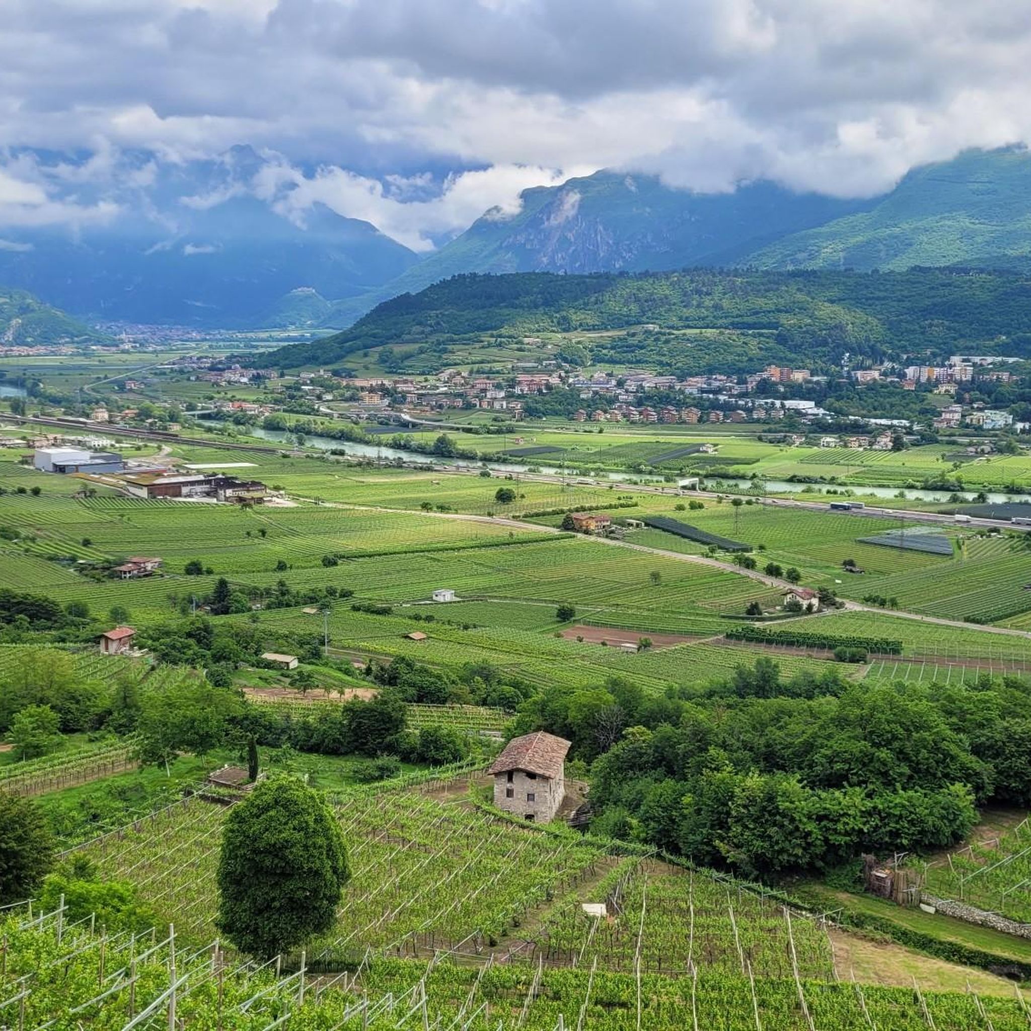
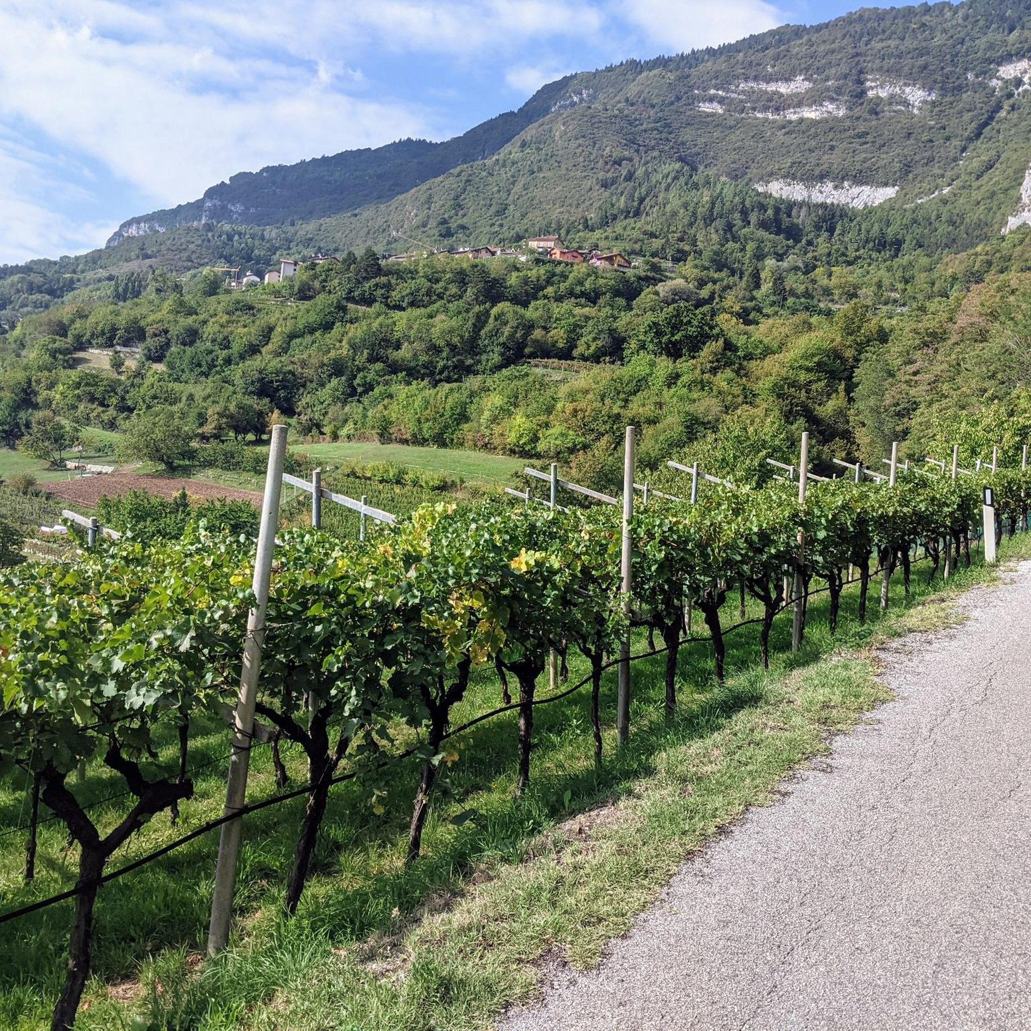
Jogging routes around Nogaredo are set within Italy's Vallagarina region, characterized by the Adige River and its valley, extensive vineyards, and surrounding hills. The terrain offers a mix of relatively flat river paths and vineyard trails, alongside more challenging ascents into the higher elevations. This diverse landscape provides varied running experiences, from serene riverside runs to routes with panoramic views.
Best jogging routes around Nogaredo
- The most popular jogging route is Adige Valley – Zigherane Bridge loop from Villa Lagarina…
Last updated: September 30, 2026
5.0
(6)
152
runners
8.74km
00:54
20m
20m
Moderate run. Good fitness required. Mostly paved surfaces. Suitable for all skill levels.
63
runners
10.5km
01:05
30m
30m
Moderate run. Good fitness required. Mostly paved surfaces. Suitable for all skill levels.

5.0
(1)
61
runners
Hard run. Very good fitness required. Mostly paved surfaces. Suitable for all skill levels.
5.0
(1)
33
runners
6.78km
00:43
50m
60m
Moderate run. Good fitness required. Mostly paved surfaces. Suitable for all skill levels.
4.5
(16)
24
runners
9.19km
01:03
240m
240m
Moderate run. Good fitness required. Mostly paved surfaces. Suitable for all skill levels.
Get access to more routes and recommendations from other explorers.
Already have an account?
Our route recommendations are based on thousands of hikes, rides, and runs completed by other people on komoot.
Start today with a free account
Your next adventure awaits.
Tips from the Community

Nice place in Rovereto
0
0

Bridge to add the Eurovelo 7 cycle path descending from the Altopiano della Vigolana
0
0

Fantastic trail on a wide dirt road, some potholes but it's perfectly fine like this. A very pleasant alternative to the cycle path on the opposite bank.
0
0

Always a pleasure to travel this stretch of the E7 cycle path, the temperature is always pleasant even in summer.
0
0

Rather boring stages on the Via Claudia Augusta
1
0

Small square in Borgo Sacco before arriving at Bicigril. There is a fountain for refueling.
1
0

Art installation on the development of the wheel in human history.
0
0

Inaugurated in 1877 during the Austro-Hungarian Empire, it has a total length of 35 meters. The Rovereto tobacco factory began operations around mid-1854. By the end of the 19th century, it employed over a thousand workers, mostly women (called zigherane). The goal of providing employment to the Borgo Sacco, Rovereto, and the entire Vallagarina area was thus achieved. A few years after the factory opened, the zigherane began taxing themselves to build a bridge over the Leno River, significantly reducing the daily commute to and from the factory. Until then, the only bridge in Rovereto was the Forbato Bridge in Santa Maria. They later began fighting to secure the first company nursery in Trentino (which opened in 1924).
1
0
Frequently Asked Questions
How many running routes are available around Nogaredo?
The Nogaredo area offers a wide selection of running routes, with over 150 trails available. These range from easy, flat paths along the river to more challenging ascents into the surrounding hills.
Are there easy or beginner-friendly running paths in Nogaredo?
Yes, Nogaredo provides several easy running options. For instance, the Adige Valley – Zigherane Bridge loop from Villa Lagarina is a moderate route that follows the Adige River, offering scenic and relatively flat terrain suitable for many fitness levels. There are 12 routes specifically rated as easy in the area.
Can I find circular running routes in the Nogaredo area?
Many of the running routes around Nogaredo are designed as loops, allowing you to start and finish in the same location. An example is the Running loop from Nogaredo, which offers a moderate 3.7-mile path directly from the village.
What kind of scenery can I expect while jogging near Nogaredo?
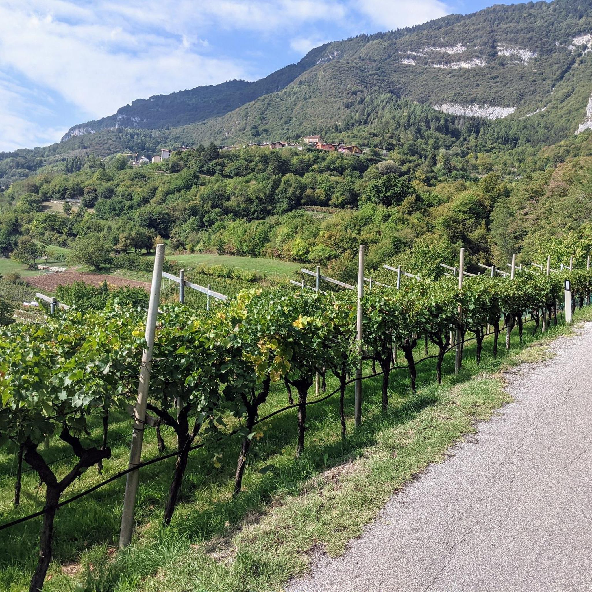
Jogging near Nogaredo offers diverse scenery, from serene paths along the Adige River and through picturesque vineyards to routes with panoramic views from higher elevations. You can experience the agricultural beauty of the valley, dense woodlands, and even glimpses of the surrounding mountains like Monte Baldo.
Are there any specific landmarks or attractions to see along the running trails?
Yes, several routes offer views of interesting landmarks. You might encounter the Adige Cycle Path, which runs alongside the river, or enjoy views from the Monte Stivo viewpoint on more challenging trails. The region also features mountain huts and charming villages.
Are the jogging routes around Nogaredo suitable for families?
The Nogaredo area offers a variety of routes, including easier, flatter sections along the Adige River and through vineyards, which can be suitable for families. These paths provide a pleasant and accessible environment for a family run or walk. Always check the route's difficulty and length to ensure it matches your family's capabilities.
Can I bring my dog on the running trails in Nogaredo?
Many outdoor trails in the Vallagarina region, including those around Nogaredo, are generally dog-friendly. However, it's always recommended to keep your dog on a leash, especially in agricultural areas or near wildlife, and to check for any specific local regulations or signage on individual routes.
How can I reach the running trails around Nogaredo using public transport?
Nogaredo is situated within the Vallagarina region, which has a public transport network. You can often reach starting points for trails via local bus services connecting to larger towns like Rovereto. For detailed schedules and routes, it's best to consult local transport information or the Visit Rovereto website for regional travel options.
Are there options for parking near the jogging routes?
Yes, many trailheads and villages in the Nogaredo area, including Nogaredo itself and nearby Villa Lagarina, offer parking facilities. For routes starting directly from Nogaredo, you can typically find local parking. For routes further afield, check the specific starting point for available parking areas.
What is the best time of year to go jogging in Nogaredo?
The Vallagarina region, where Nogaredo is located, is pleasant for jogging during spring, summer, and autumn. Spring and autumn offer milder temperatures and beautiful scenery, especially through the vineyards. Summer can be warm, so early morning or late afternoon runs are ideal. Winter jogging is possible, particularly on lower-elevation paths, but higher trails might be affected by snow.
What do other runners say about the trails in Nogaredo?
The running routes in Nogaredo are highly rated by the komoot community, with an average score of 4.5 stars from over 170 reviews. Runners often praise the varied terrain, from accessible river paths to challenging climbs, and the beautiful natural environment of the Vallagarina region.
Are there longer running routes for more experienced runners?
Absolutely. For experienced runners seeking a challenge, the area offers longer and more demanding routes. An example is the Adige Valley Cycle Path – Adige Valley loop from Villa Lagarina, a difficult 10.5-mile (16.9 km) trail with moderate elevation changes, typically completed in about 1 hour 44 minutes.
How does jogging in Nogaredo compare to nearby Rovereto?
Nogaredo offers a more rural and varied landscape for jogging, with direct access to vineyards, river paths, and routes leading into the hills. Nearby Rovereto, as the main town of Vallagarina, also provides dedicated 'RoverRunning' routes, some of which are described as shady tracks with unique views, often closer to urban amenities. Both offer excellent running experiences, with Nogaredo leaning towards natural immersion and Rovereto offering a mix of urban and natural trails.
Most popular routes around Nogaredo
Most popular attractions around Nogaredo

Get inspired with the komoot mobile app


Explore more
Browse the best Running Trails & Routes in other regions.
