The best mountain hikes around Locatello
4.5
(30)
287
hikers
9
hikes
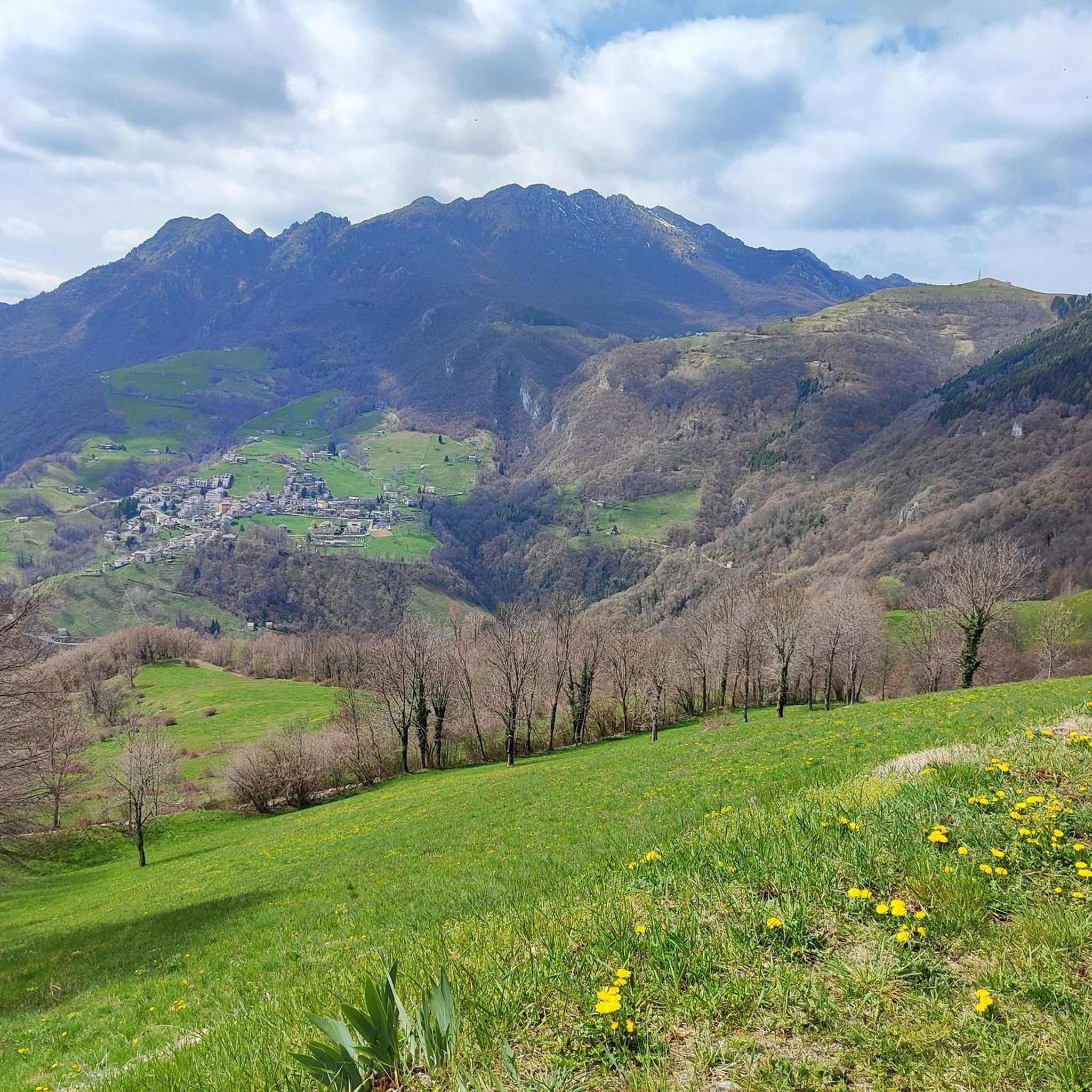
Mountaineering routes Locatello are set within the dramatic landscapes of the Orobie Bergamasche Alps, a pre-alpine chain characterized by forests, deep valleys, and varied rock formations. The region, including areas like Valle Imagna, offers a comprehensive range of mountaineering experiences across diverse terrain. Peaks such as Monte Resegone provide challenging ascents, while numerous crags offer sport climbing and bouldering options on limestone, granite, and gneiss.
Best mountaineering routes around Locatello
- The most popular mountaineering route is Ferrata Gamma 2 Summit – View From Resegone loop from Piani d'Erna, a 7.7 miles (12.3 km) trail that takes 8 hours 9 minutes to complete, featuring a challenging via ferrata and panoramic views from Resegone.
- Another top favourite among local mountaineers is View From Resegone – Stone Water Fountain loop from Piani d'Erna, a difficult 9.3 miles (15.0 km) path. This route offers extensive views from Monte Resegone and traverses varied alpine terrain.
- Local mountaineers also love the Bocchetta di Desio loop from Piani d'Erna, a 6.3 miles (10.1 km) trail leading through alpine pastures and rocky sections, often completed in about 5 hours 38 minutes.
- Mountaineering around Locatello is defined by the rugged Orobie Bergamasche Alps, the scenic Piani d'Erna, and diverse rock types, with routes offering options for various ability levels, from challenging ascents to technical climbs.
- The routes in Locatello are highly rated by the komoot community with an average score of 4.5 stars from over 20 reviews. More than 300 mountaineers have used komoot to explore Locatello's varied terrain.
Last updated: July 4, 2026
4.3
(6)
69
hikers
12.3km
08:06
1,280m
1,280m
Hard mountaineering route. Very good fitness required. Sure-footedness, sturdy shoes and alpine experience required.
5.0
(2)
21
hikers
Hard mountaineering route. Very good fitness required. Sure-footedness, sturdy shoes and alpine experience required.

Sign up for free
5.0
(5)
19
hikers
6.17km
03:12
420m
420m
Hard mountaineering route. Good fitness required. Sure-footedness, sturdy shoes and alpine experience required.
4.7
(3)
15
hikers
5.04km
04:41
660m
660m
Hard mountaineering route. Good fitness required. Sure-footedness, sturdy shoes and alpine experience required.
4.0
(1)
8
hikers
3.30km
02:42
410m
410m
Hard mountaineering route. Good fitness required. Sure-footedness, sturdy shoes and alpine experience required.
Get access to more routes and recommendations from other explorers.
Sign up for free
Already have an account?
Our route recommendations are based on thousands of hikes, rides, and runs completed by other people on komoot.
Start today with a free account
Your next adventure awaits.
Login or Signup

Tips from the Community

For the fittest
0
0

one of the most beautiful views of the lake and Lecco!
0
0

Spectacular view towards the tip of Lake Lecco, Grigna and Resegone
0
0

A crossroads for many Resegone routes. Very famous for being the reference point for the centenary via ferrata.
0
0

Watch out for ticks... last year's experience
0
0

The via ferrata and path are currently completely closed!!
0
0

Great get together, always lots of friends!
1
0

Frequently Asked Questions
How many mountaineering routes are available around Locatello?
There are over a dozen mountaineering routes around Locatello, offering diverse experiences within the Orobie Bergamasche Alps. Most of these routes are considered difficult, with a few moderate options available.
What are the typical difficulty levels for mountaineering in Locatello?
Mountaineering routes in Locatello are predominantly challenging. Out of 13 available routes, 11 are rated as difficult, and 2 are moderate. This region is known for its rugged terrain and demanding ascents, often featuring via ferratas and rocky sections.
Are there any circular mountaineering routes near Locatello?
Yes, several routes around Locatello are circular. For example, the challenging Ferrata Gamma 2 Summit – View From Resegone loop from Piani d'Erna is a popular circular option. Another is the View From Resegone – Stone Water Fountain loop from Piani d'Erna, which also offers extensive views.
What kind of views can I expect on mountaineering routes in Locatello?
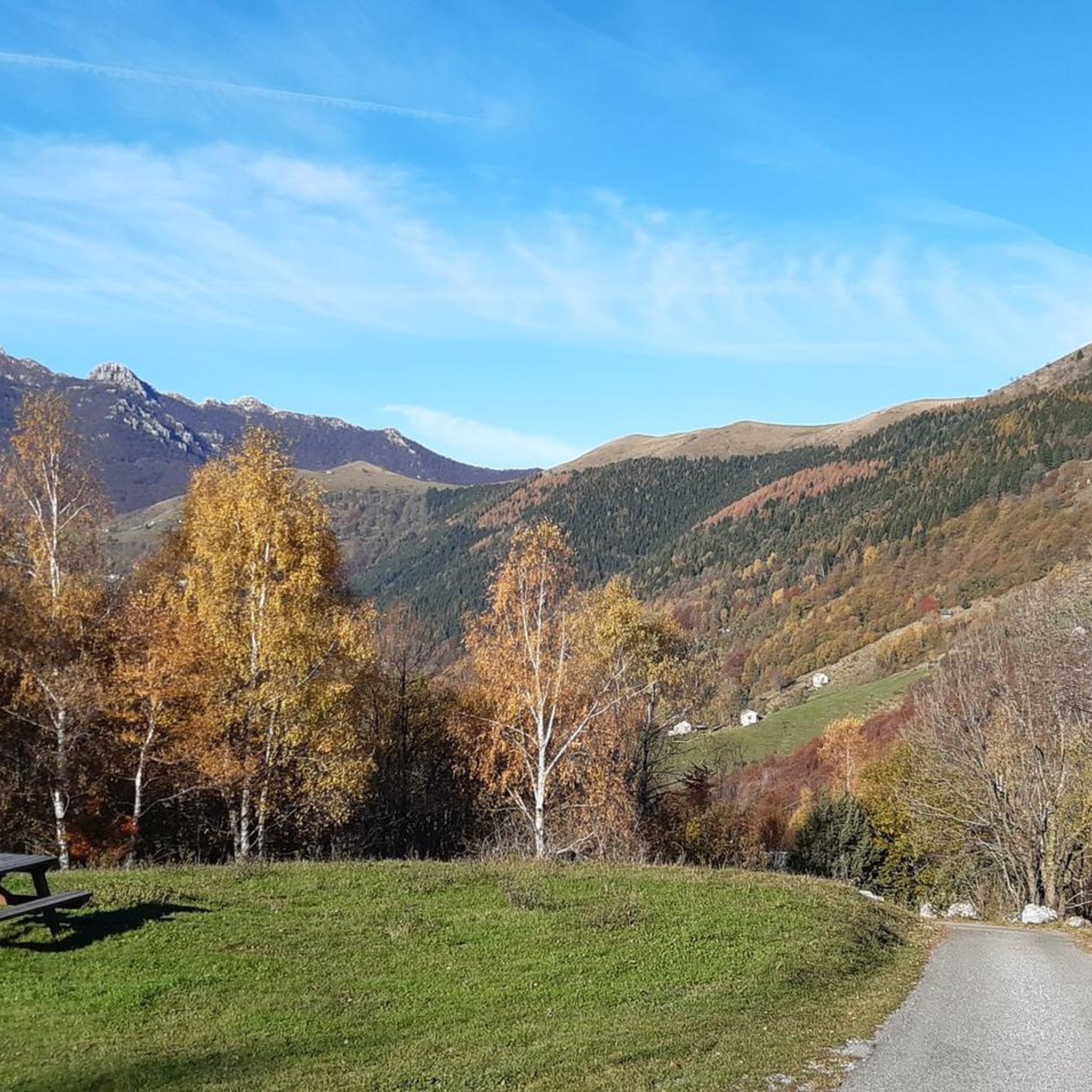
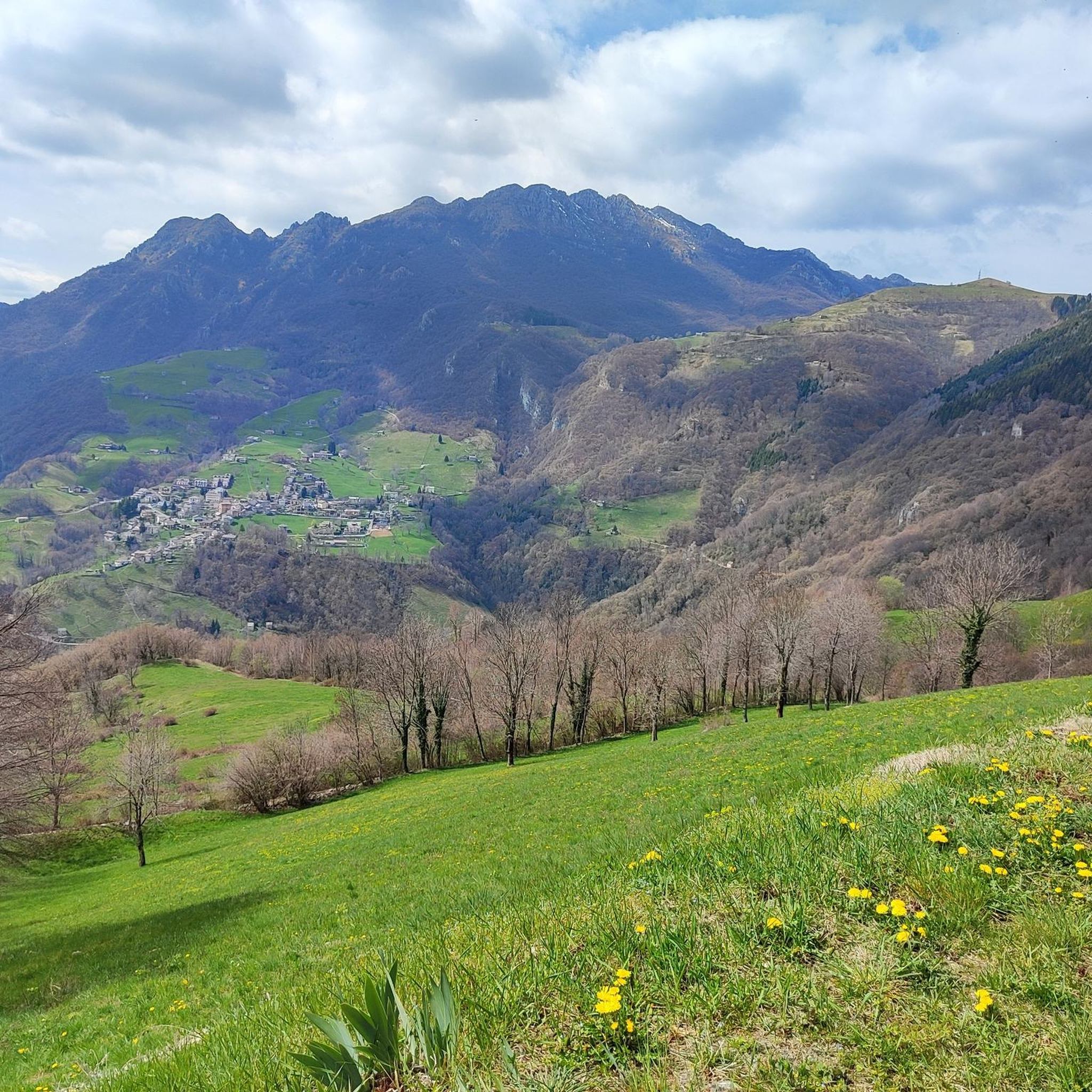
Mountaineering routes in Locatello offer spectacular panoramic views, particularly from prominent peaks like Monte Linzone and Monte Resegone. You can expect to see the dramatic landscapes of the Orobie Bergamasche Alps, deep valleys, and varied rock formations.
What are some notable natural landmarks or attractions along the mountaineering routes?
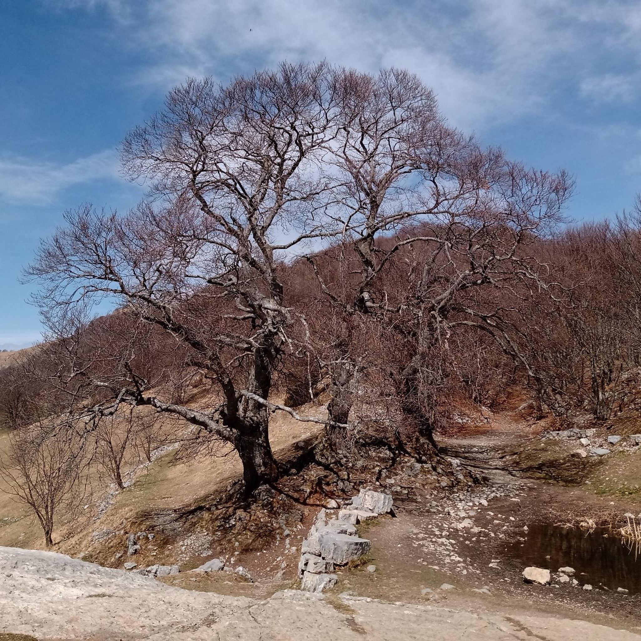
Along the mountaineering routes, you can encounter several significant natural landmarks. Highlights include the Summit of Resegone and the Monte Linzone Summit, both offering expansive vistas. You might also pass by the Three Beeches of Fuipiano Imagna, a natural monument.
Are there any huts or shelters available on the mountaineering trails?
Yes, there are huts that can serve as resting points or shelters. For instance, the Luigi Azzoni Hut is located on Monte Resegone, providing a facility for mountaineers.
What do other mountaineers say about the routes in Locatello?
The mountaineering routes in Locatello are highly regarded by the komoot community, with an average rating of 4.5 stars from over 20 reviews. Mountaineers often praise the challenging ascents, the diverse alpine terrain, and the rewarding panoramic views from peaks like Resegone.
Are there any routes that feature via ferratas?
Yes, some routes include via ferratas. The Ferrata Gamma 2 Summit – View From Resegone loop from Piani d'Erna is a prime example, featuring a challenging via ferrata section as part of its ascent.
What is the terrain like on mountaineering routes in Locatello?
The terrain around Locatello is characterized by the rugged Orobie Bergamasche Alps. You will encounter a mix of alpine pastures, rocky sections, and varied rock types including limestone, granite, and gneiss. Routes often involve significant elevation changes and can be quite demanding.
Can I find waterfalls or springs along the mountaineering routes?
While the primary focus of these routes is mountaineering, the region does feature natural water sources. You can find highlights such as the San Carlo Spring and the Pools and Waterfalls of the San Carlo Stream in the broader Locatello area, which might be accessible from some trails or nearby.
What are some of the longer mountaineering routes in the area?
For those seeking longer expeditions, the View From Resegone – Stone Water Fountain loop from Piani d'Erna covers approximately 15 kilometers and typically takes around 7 hours and 51 minutes to complete. Another substantial option is the Ferrata Gamma 2 Summit – View From Resegone loop from Piani d'Erna, which is about 12.3 kilometers long.
Most popular routes around Locatello
Most popular attractions around Locatello

Get inspired with the komoot mobile app


Explore more
Browse the best Mountain Hikes & Routes in other regions.
