The best walks and hikes around Fiorano Al Serio
4.4
(315)
2,095
hikers
14
hikes
Hiking around Fiorano Al Serio offers diverse landscapes shaped by the Serio River and the surrounding Prealps and Orobie Alps. The region features varied terrain, from river paths to mountain ascents, with extensive hiking trails and diverse woodland ecosystems. Valleys like Val Seriana contribute to a rich natural environment. Higher elevations provide panoramic views of the Prealps and Orobie Alps.
Best hiking trails around Fiorano Al Serio
- The most popular hiking route is Monte Cedrina Loop via CAI 523,…
Last updated: November 20, 2026
4.7
(3)
31
hikers
9.59km
04:01
660m
660m
Moderate hike. Good fitness required. Mostly walkable paths. Sure-footedness required.
4.0
(3)
34
hikers
Easy hike. Easily walkable paths.

4.7
(3)
36
hikers
Moderate hike. Good fitness required. Easily walkable paths.
4.4
(7)
26
hikers
22.9km
08:48
1,190m
1,190m
Hard hike. Very good fitness required. Mostly walkable paths. Sure-footedness required.
4.0
(2)
21
hikers
6.52km
01:55
180m
180m
Easy hike. Easily walkable paths.
Get access to more routes and recommendations from other explorers.
Already have an account?
Our route recommendations are based on thousands of hikes, rides, and runs completed by other people on komoot.
Start today with a free account
Your next adventure awaits.


Tips from the Community

La Forca (or Forca d’Aviatico) is a pass at 1159 m between Aviatico and Orezzo, a historic crossing point and today a fundamental junction of the trail network between Monte Poieto, Monte Suchello, Val Vertova and Val Serina.
0
0
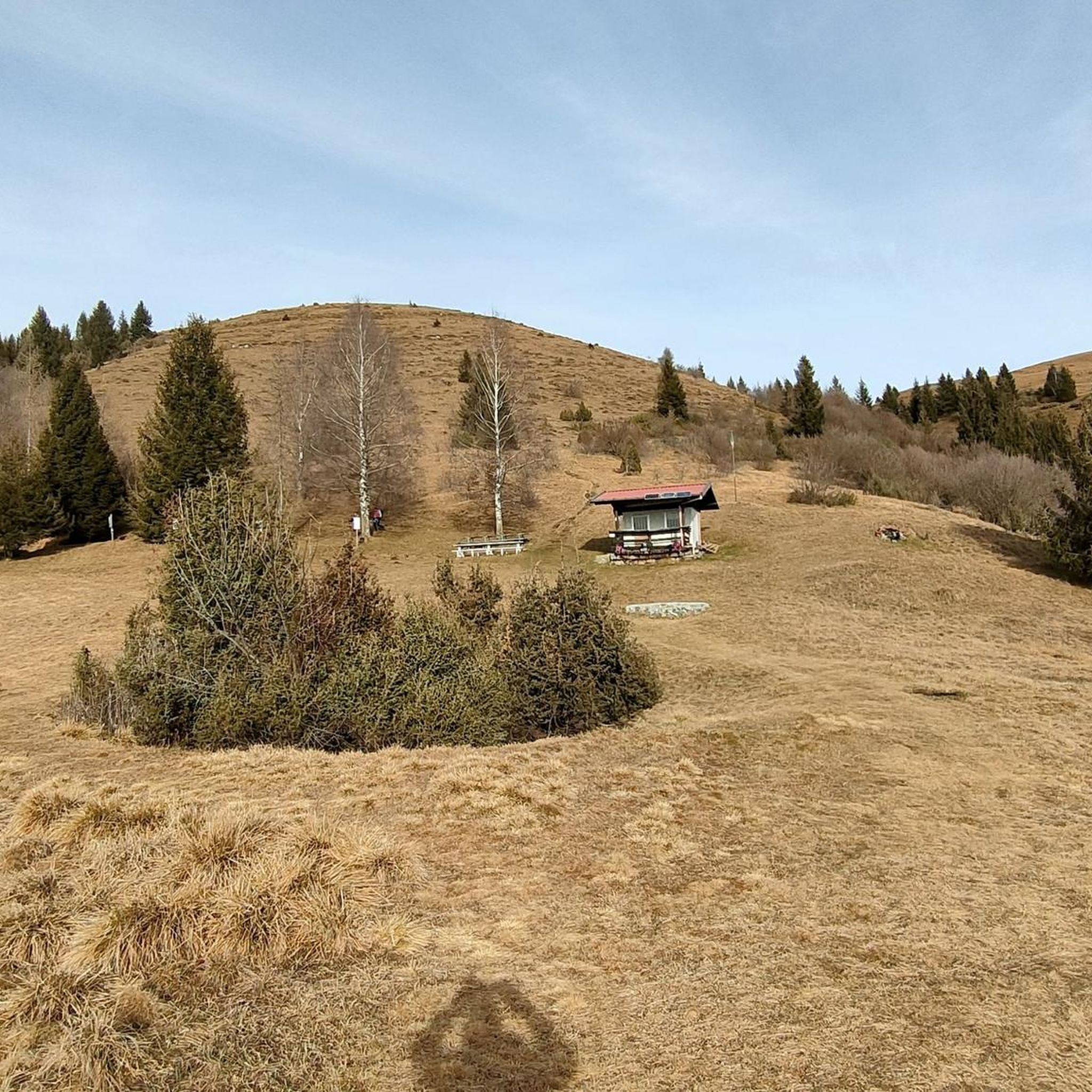
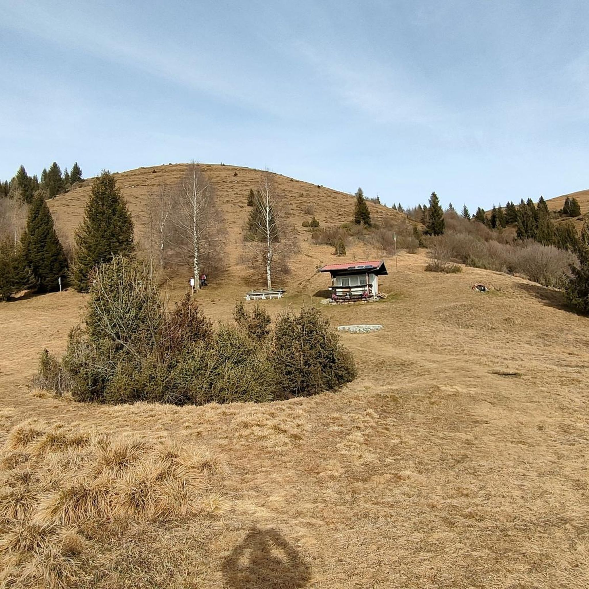
Cà Donadoni is one of the most characteristic places on the southern slope of Monte Suchello: a historic, isolated hut, located along the ridge that connects La Forca d’Aviatico to Forcellino Donadoni and then to the summit of Suchello.
0
0

The shelter is currently closed.
0
0
Once you arrive, a large meadow opens up where you can have a picnic, with a children's playground and a spectacular view of the surrounding mountains and valleys. Just behind the refuge, there's also a deer enclosure. The refuge is currently closed.
0
0
Junction for Aviatico - intersection with path 519
0
0

From Gazzaniga, the climb to San Patrizio is quite challenging, but then the road becomes easier to ride. You pass through Rezzo and Bondo, two hamlets surrounded by green, freshly mown meadows. If you can manage it, you can reach Barbata and continue... if you have a mountain bike, you can even descend into Val del Riso, to Gorno!
0
0
The Ristorante del Rifugio Monte Poieto is an ideal destination for those who want to taste typical dishes of Italian and Lombard cuisine, immersed in the beauty of the Bergamo Prealps. Located at 1360 meters above sea level, the refuge offers a spectacular view of the Val Seriana and a welcoming atmosphere. What the restaurant offers: Traditional cuisine: Local specialties such as polenta, pizzoccheri and meat dishes. Panoramic setting: Outdoor tables with breathtaking views. Cable car: Direct access to the structure without having to face the climb on foot. Vegetarian options: Available on the menu for those with special dietary needs.
0
0
The Ristorante del Rifugio Monte Poieto is a perfect destination for those who want to taste typical dishes of Italian and Lombard cuisine immersed in the beauty of the Bergamo Prealps. Located at 1360 meters above sea level, the refuge offers a spectacular view of the Val Seriana and a welcoming atmosphere. What the restaurant offers: Traditional cuisine: Local specialties such as polenta, pizzoccheri and meat dishes. Panoramic setting: Outdoor tables with breathtaking views. Cable car: Direct access to the structure without having to face the climb on foot. Vegetarian options: Available on the menu for those with special dietary needs.
0
0
Frequently Asked Questions
How many hiking trails are there around Fiorano Al Serio?
Fiorano Al Serio offers a diverse network of over 20 hiking trails. These routes cater to various skill levels, from gentle riverside walks to challenging mountain ascents into the Prealps and Orobie Alps.
What types of landscapes can I expect to see while hiking in Fiorano Al Serio?
The region's landscape is shaped by the Serio River and the surrounding Prealps and Orobie Alps. You'll find a variety of terrain, including river paths, extensive woodlands, and dramatic mountain views from higher elevations. The Val Seriana itself contributes to a rich natural environment.
Are there any easy hiking routes suitable for beginners or families?
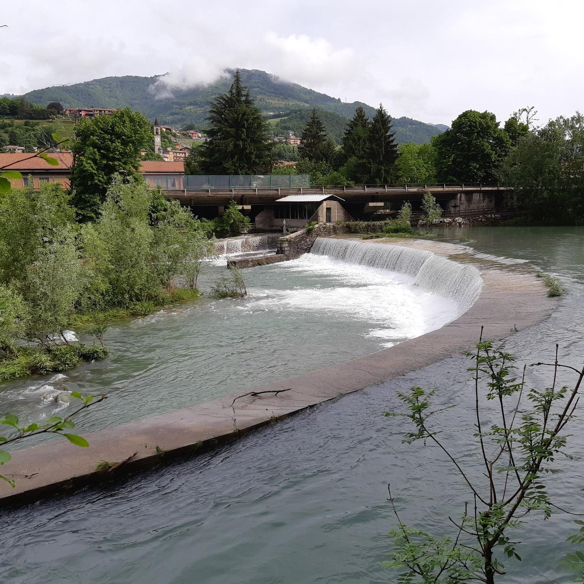
Yes, there are several easy routes. For example, the Serio Waterfall – Serio River swimming spot loop from Gazzaniga is an easy 4.4-mile trail that follows riverside landscapes, perfect for a relaxed outing. Overall, there are 7 easy trails in the area.
Where can I find challenging hikes with significant elevation gain?
For a more strenuous experience, consider the Forest Trail – Monte Poieto Hut loop from Fiorano al Serio. This difficult 7.0-mile path features significant elevation gain as it leads towards Monte Poieto Hut, offering rewarding views. The region has 4 difficult trails in total.
Are there any circular hiking routes in Fiorano Al Serio?
Yes, many trails in the area are loops. A popular moderate option is the Monte Cedrina Loop via CAI 523, a 6.0-mile route with varied terrain. Another moderate loop is the Base Loop – Tribulina di Gromei loop from Fiorano al Serio.
What natural landmarks or viewpoints can I discover on the trails?
Hikers can enjoy several notable natural features. The Summit of Pizzo Formico, at 1636 meters, offers exceptional panoramic views of both the Prealps and the Orobie Alps. Other summits like Monte Misma Summit and Monte Alben Summit also provide stunning vistas.
Are there any trails that pass by lakes or water features?
Yes, the region features beautiful water bodies. The Serio Waterfall – Serio River swimming spot loop from Gazzaniga is a great option for riverside scenery and a potential swimming spot. Nearby, you can also explore areas around Lake Endine.
What do other hikers say about the trails in Fiorano Al Serio?
The trails in Fiorano Al Serio are highly regarded by the komoot community, holding an average rating of 4.4 stars from over 270 reviews. Hikers often praise the diverse terrain, from quiet woodlands to challenging mountain paths, and the well-maintained nature of the routes.
Is Fiorano Al Serio a good destination for dog-friendly hiking?
While specific dog rules vary by trail, the diverse natural environment of Fiorano Al Serio, with its extensive woodlands and river paths, generally offers many opportunities for hiking with dogs. Always ensure your dog is on a leash and check local regulations for specific areas.
What is the best time of year to go hiking in Fiorano Al Serio?
The region is enjoyable for hiking through much of the year. Spring and autumn offer pleasant temperatures and vibrant scenery. Summer can be warm, especially on exposed trails, but shaded routes like parts of the Val Vertova Loop provide relief. Winter hiking is possible, particularly on lower elevation paths, but higher mountain routes may require appropriate gear for snow and ice.
Are there any trails that are particularly scenic or offer unique experiences?
Beyond the popular routes, the Val Vertova Loop is highlighted for its beauty and challenging descent. While primarily known for cycling, the Serio River Cycle Path also offers scenic walking opportunities alongside the river, connecting various villages and providing a different perspective of the valley.
Most popular routes around Fiorano Al Serio
Most popular attractions around Fiorano Al Serio

Get inspired with the komoot mobile app


Explore more
Browse the best Hikes in other regions.
