The best walks and hikes around Borgo Di Terzo
4.4
(3804)
20,686
hikers
606
hikes
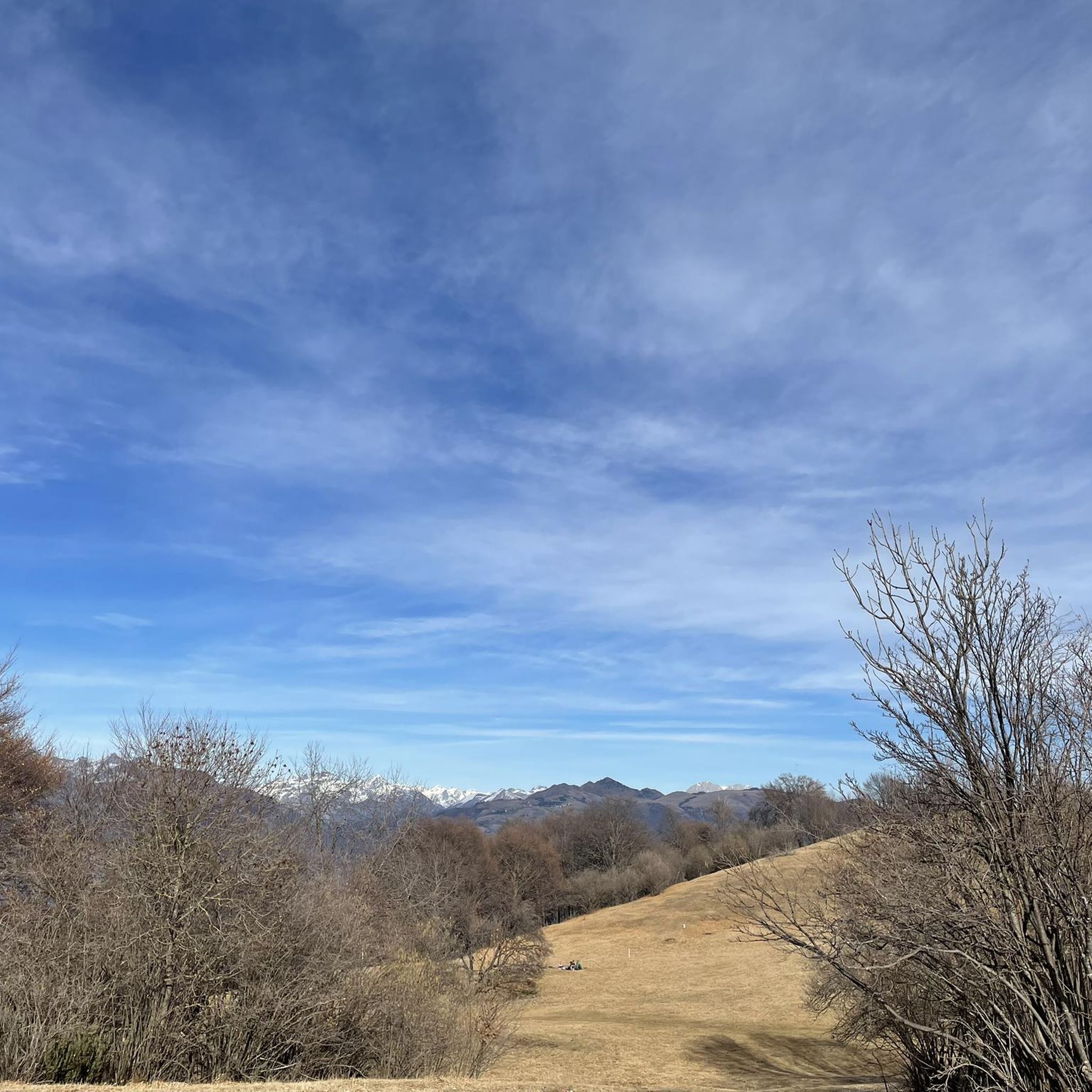
Hiking trails around Borgo Di Terzo traverse a predominantly hilly territory situated on the right bank of the Cherio river in Val Cavallina. This region offers a diverse natural landscape with paths winding through woodlands, vineyards, and olive groves. Its proximity to the Alpi Orobie mountain range provides access to more rugged terrain and elevated viewpoints. The area's varied topography supports a range of outdoor activities for different fitness levels.
Best hiking trails in Borgo Di Terzo
- The most popular…
Last updated: October 4, 2026
4.3
(15)
47
hikers
10.7km
04:31
700m
690m
Hike the moderate 6.6-mile Monte Pranzà Summit Trail via CAI 622, gaining 2296 feet for panoramic views over Lake Endine and the Bergamo Alp
4.5
(8)
20
hikers
7.49km
02:56
470m
470m
Hike the moderate 4.7-mile CAI Trail 611 circuit from Luzzana to Pizzo Casgnola, gaining 1555 feet for panoramic views.

2
hikers
6.45km
02:11
330m
330m
Hike the moderate 4.0-mile CAI Trail 615 from Berzo San Fermo to the Chapel at Col Croce, gaining 1076 feet in Val Cavallina.
4.6
(7)
30
hikers
14.8km
05:51
950m
940m
Hard hike. Very good fitness required. Mostly accessible paths. Sure-footedness required.
2.5
(2)
20
hikers
11.6km
03:17
240m
240m
Moderate hike. Good fitness required. Easily-accessible paths. Suitable for all skill levels.
Get access to more routes and recommendations from other explorers.
Already have an account?
Our route recommendations are based on thousands of hikes, rides, and runs completed by other people on komoot.
Start today with a free account
Your next adventure awaits.
Tips from the Community

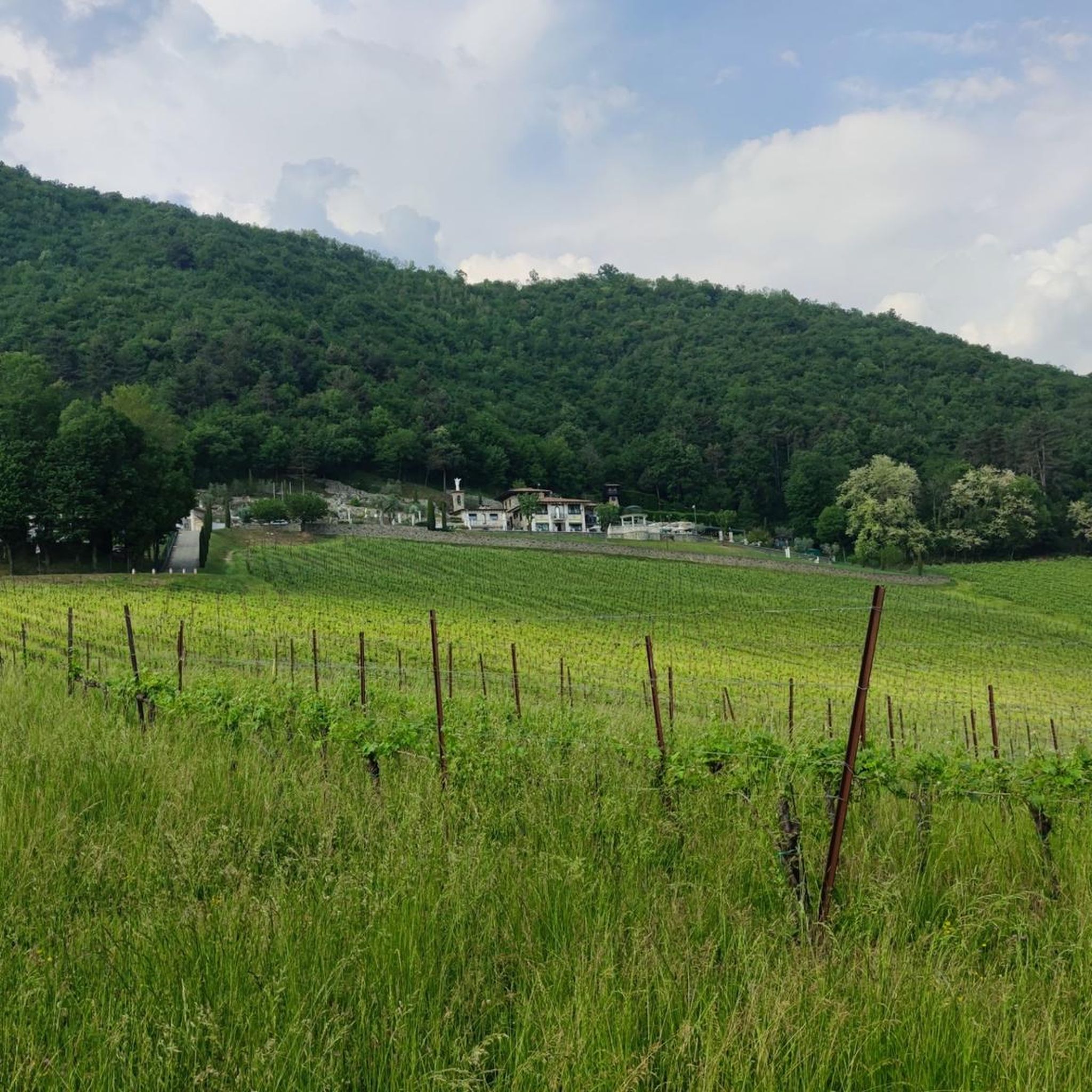
excellent surface in this uphill section which partly runs alongside the quarry
1
0

The "Giant" sculpture in Luzzana is a large rock sculpture created in 1840 by sculptor Giosuè Meli, located within the Parco del Gigante. The work is carved directly into the rock along a stairway on Via Costa.
0
0

Cesulì is a mountain pass located at 922 meters above sea level in Val Cavallina, near Monte Pranzà, in the municipality of Vigano San Martino. It is known for its 18th-century chapel, which has a small bell tower and offers a spectacular view of Lake Endine2. Excursion to Cesulì Altitude: 922 meters Route: Trail 622, starting from Vigano San Martino Difficulty: Hiking (E) Ascent time: About 1 hour and 30 minutes Panoramic points: Lake Endine, Monte Pranzà, Val Cavallina Curiosity The chapel was restored by the Alpine troops of Val Cavallina. The path passes through beech and chestnut woods, offering an excursion immersed in nature. It is a reference point for hikers who want to reach Monte Pranzà
1
0
The Anticima del Monte Pranzà is a rock formation located along the crest of Monte Pranzà, in the Bergamo Prealps, specifically in the municipality of Vigano San Martino, in Val Cavallina. Characteristics of the Anticima Altitude: About 1070 meters Location: Along the crest of Monte Pranzà, overlooking Val Cavallina and Valle del Lujo. Signage: Trails 622 and 622A, well marked with directional arrows. Panoramic point: Offers a spectacular view of Lake Endine and the surrounding mountains, including Presolana and Pizzo Camino. Excursion to the Anticima Route: Departure from Vigano San Martino, following Trail 622. Difficulty: Hiking (E), with steep sections in the woods. Climbing time: About 2 hours. Points of interest: Cappella del Cesulì (922 m), Cascina Flaccadori (1030 m) and a hunting roccolo. Curiosities The Anticima is marked by a large man made of stones, surmounted by a metal cross, which could seem like the main peak, but in reality it is only an intermediate point. The route offers a mix of ash and black hornbeam woods, as well as open panoramic stretches
0
0
crossroads with many paths including: Monte Pranzà peak, Misma, Vigano San Martino, Casale
0
0
Nice viewpoint of a little known peak. The wooden deckchair is also very comfortable!
0
0

Situated at 922 metres above sea level, Cesulì is a mountain pass in Val Cavallina that takes its name from the charming 18th century chapel that stands on the summit. It has a small bell tower and a magnificent view of Lake Endine.
1
0

I was there before spring and I still liked the tour. The panorama, one of the most beautiful seen among the small peaks near Bergamo.
2
0
Frequently Asked Questions
What kind of terrain can I expect on hikes around Borgo Di Terzo?
The hiking trails around Borgo Di Terzo are predominantly hilly, situated on the right bank of the Cherio river in Val Cavallina. You'll find paths winding through diverse landscapes including woodlands, vineyards, and olive groves. The area's proximity to the Alpi Orobie mountain range also provides access to more rugged terrain and elevated viewpoints for those seeking a challenge.
How many hiking trails are available in the Borgo Di Terzo area?
There are nearly 600 hiking routes available around Borgo Di Terzo, catering to various fitness levels. This includes 139 easy trails, 319 moderate routes, and 128 difficult treks, ensuring options for everyone from casual walkers to experienced hikers.
Are there any notable natural features or landmarks to see while hiking?
Yes, the region offers several natural highlights. You can explore the scenic Lake Endine, known for its tranquil waters. For panoramic views, consider visiting the Monte Poieto Summit and Chapel. The area also features charming huts like Pratolina Hut and Meadow of the Ancient Chestnut Trees, offering a blend of nature and local character.
What do other hikers enjoy most about the trails in Borgo Di Terzo?
The trails in Borgo Di Terzo are highly rated by the komoot community, with an average score of 4.4 stars from over 3,100 reviews. Hikers often praise the varied terrain, from gentle paths through vineyards to more challenging ascents, and the beautiful natural scenery, including woodlands and river views.
Are there any circular hiking routes suitable for a full day out?
Yes, there are several circular routes. For a moderate full-day hike, consider the Monte Pranzà Loop from Vigano San Martino, which covers about 10.7 km and takes approximately 4 hours 30 minutes, offering scenic viewpoints. Another option is the Monte Misma Summit – High Meadows loop from Luzzana, a 9.5 km moderate trail.
Can I find family-friendly hiking options in Borgo Di Terzo?
Absolutely. The region offers a good selection of easy trails, with 139 routes classified as easy. These paths often wind through gentle woodlands and along the Cherio river, providing pleasant experiences for families. Look for routes with minimal elevation gain and shorter distances for younger hikers.
Are dogs allowed on the hiking trails around Borgo Di Terzo?
Many trails in the Borgo Di Terzo area are dog-friendly, allowing you to enjoy the natural beauty with your canine companion. It's generally recommended to keep dogs on a leash, especially in areas with wildlife or near agricultural land. Always ensure you carry water for your dog and clean up after them.
What is the best time of year to go hiking in Borgo Di Terzo?
Borgo Di Terzo offers hiking opportunities year-round. Spring and autumn are particularly pleasant, with mild temperatures and vibrant natural colors. Summer can be warm, making early morning or late afternoon hikes ideal. Winter hiking is also possible, especially on lower elevation trails, offering a different, serene experience of the landscape.
Are there any trails that follow the Cherio river?
Yes, the Cherio river is a prominent natural feature in the Val Cavallina, and several trails incorporate its banks. For example, the Cherio River loop from Luzzana is a moderate 11.6 km route that allows you to experience the river's presence and the surrounding natural beauty.
Where can I find parking for hiking trailheads in Borgo Di Terzo?
Parking is generally available near the starting points of many popular trails. While specific parking details vary by trailhead, you can often find designated spots in or near the villages that serve as access points to the hiking network. It's advisable to check local signage upon arrival.
Are there any trails that offer significant elevation gain for a more challenging hike?
For hikers seeking more significant elevation gain, the region's proximity to the Alpi Orobie provides opportunities. Routes like the Monte Pranzà Loop from Vigano San Martino feature nearly 700 meters of ascent, leading to rewarding views from higher elevations.
Can I access hiking trails using public transport in Borgo Di Terzo?
While Borgo Di Terzo is a small municipality, public transport options may connect to nearby towns in Val Cavallina, which serve as access points for various trails. It's recommended to research local bus schedules to determine the best way to reach specific trailheads from your accommodation.
Most popular routes around Borgo Di Terzo
Most popular attractions around Borgo Di Terzo

Get inspired with the komoot mobile app


Explore more
Browse the best Hikes in other regions.
