The best walks and hikes around Pedrengo
4.4
(3402)
21,955
hikers
15
hikes
Hiking around Pedrengo, located in the Lombardy region near Bergamo, offers access to varied outdoor experiences. The area is characterized by vineyard-laden landscapes and surrounding hills, providing scenic and accessible trails. While specific natural features within Pedrengo are not extensively detailed, the broader region includes diverse terrain suitable for hiking. This environment supports a range of hiking routes, from leisurely walks through agricultural areas to paths leading to viewpoints.
Best hiking trails around Pedrengo
- The most popular hiking route is…
Last updated: May 20, 2026
19
hikers
8.00km
02:06
60m
60m
Moderate hike. Good fitness required. Easily-accessible paths. Suitable for all skill levels.
17
hikers
7.23km
02:06
170m
170m
Moderate hike. Good fitness required. Easily-accessible paths. Suitable for all skill levels.

Sign up for free
3.0
(1)
13
hikers
9.16km
02:46
270m
270m
Moderate hike. Good fitness required. Mostly accessible paths. Sure-footedness required.
8
hikers
Moderate hike. Good fitness required. Easily-accessible paths. Suitable for all skill levels.
2.0
(1)
10
hikers
7.48km
01:55
30m
30m
Easy hike. Great for any fitness level. Easily-accessible paths. Suitable for all skill levels.
Get access to more routes and recommendations from other explorers.
Sign up for free
Already have an account?
Our route recommendations are based on thousands of hikes, rides, and runs completed by other people on komoot.
Start today with a free account
Your next adventure awaits.
Login or Signup

Tips from the Community

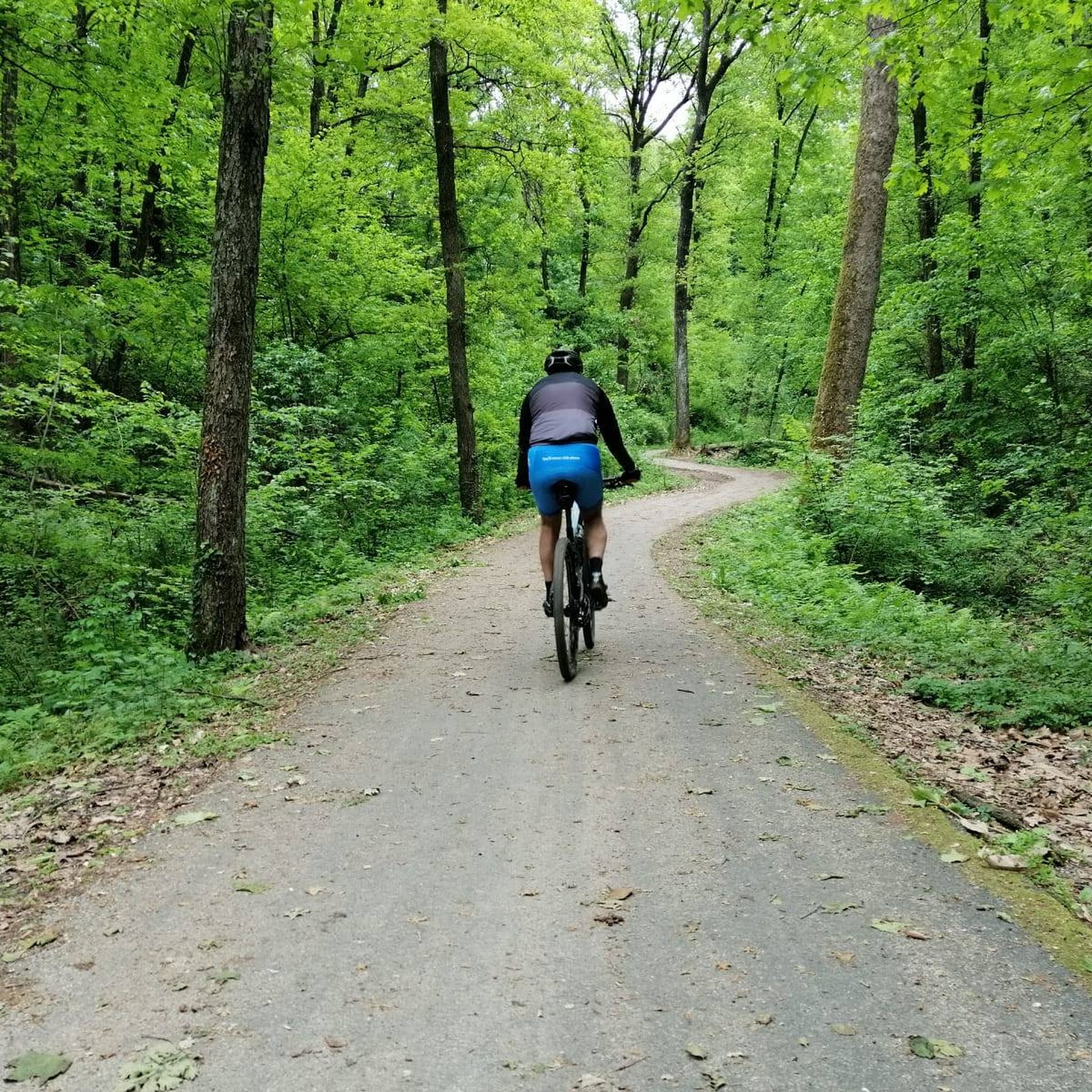
Beautiful path under the woods that goes up the mountain and allows you to do a good workout that is never too technical.
0
0

Northern Italy is worth hiking!
0
0

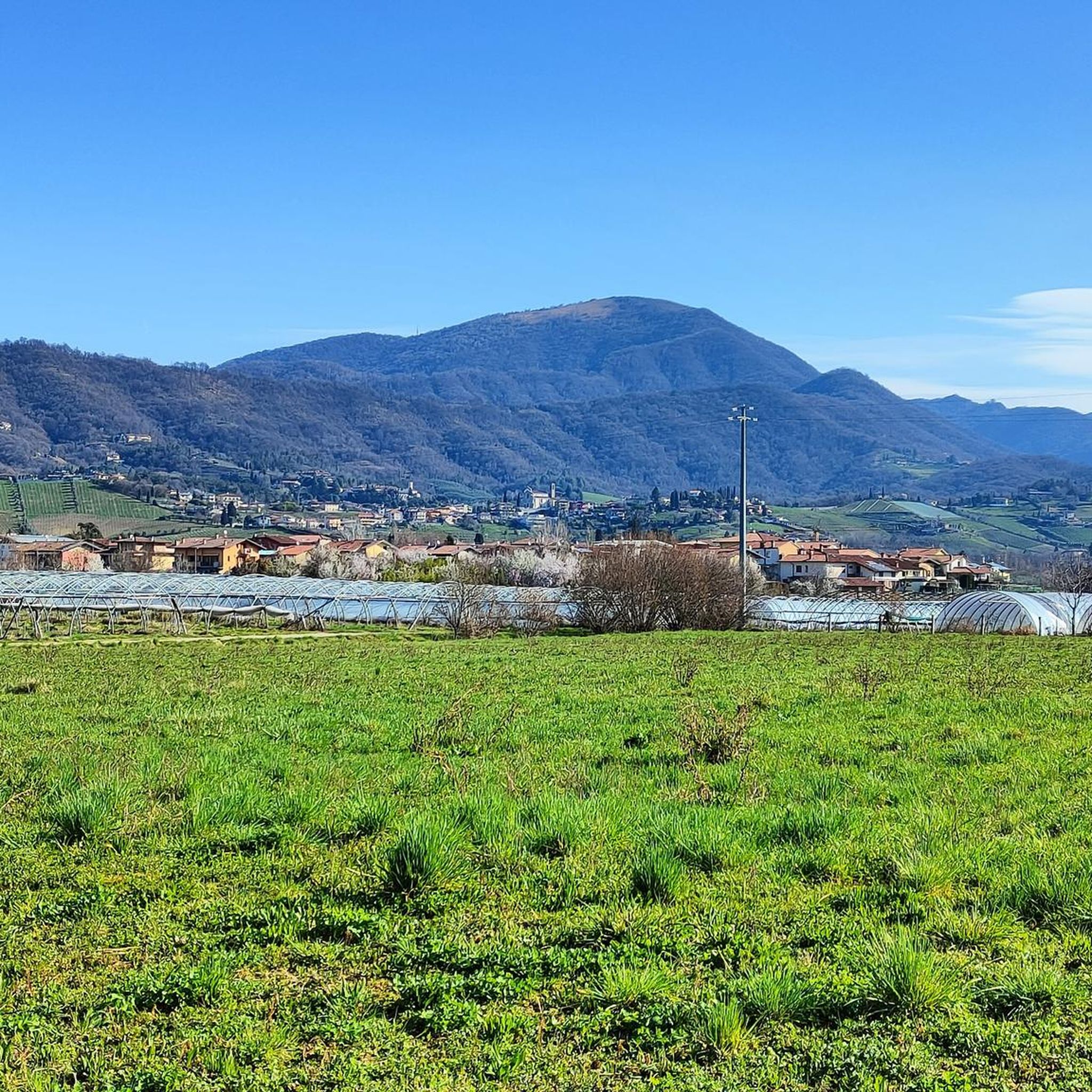
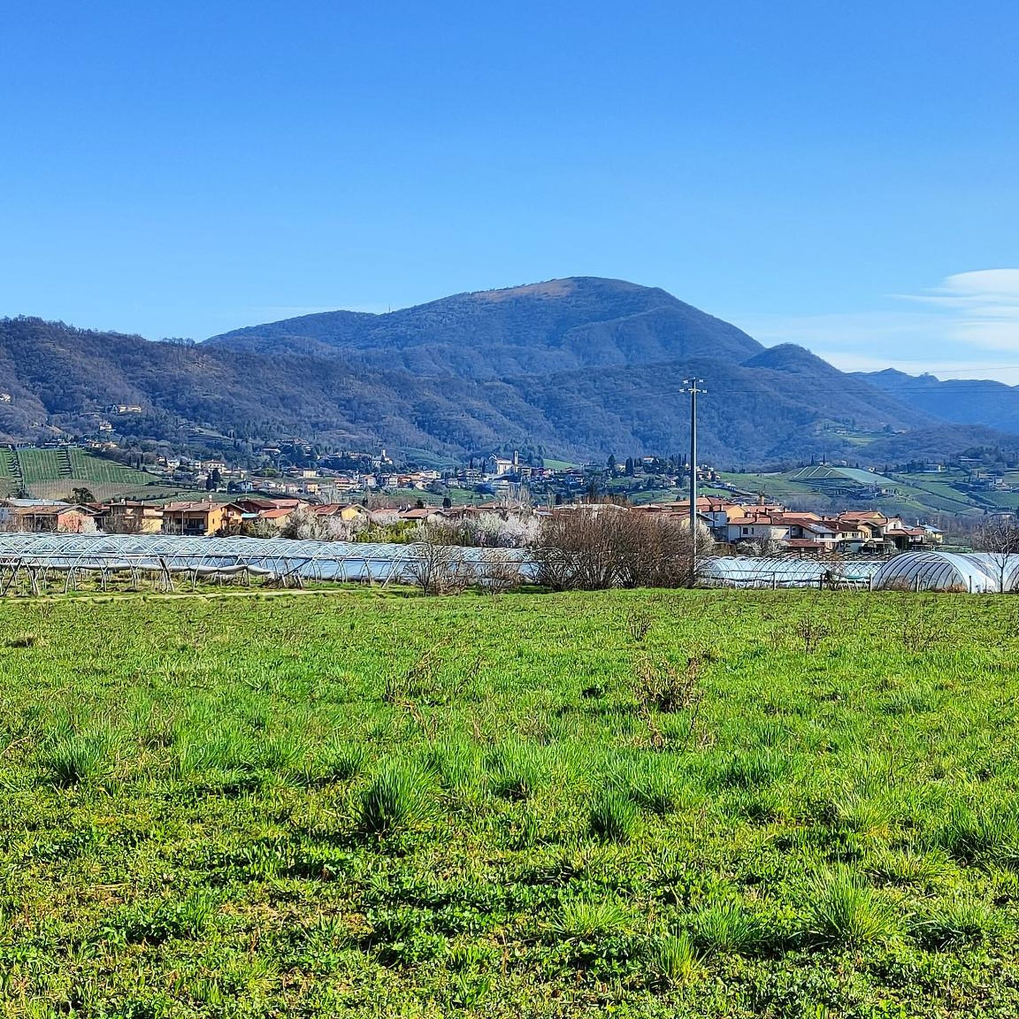
Nice view of the valley
0
0
Crossroads of several paths
0
0

Quite tough climb. Dirt road for MTB and / or GRV
0
0

The Alpini Church on Mount Bastia was built in 1969, and was dedicated to the Madonna, Queen of Peace. Inside, in September 1993, a wooden statue was placed, the work of the famous sculptor Flavio Pancher from Ortisei (BZ). From the church you can enjoy a splendid 360° view of the plain, the Upper Town and the entrance to the Seriana Valley.
2
0

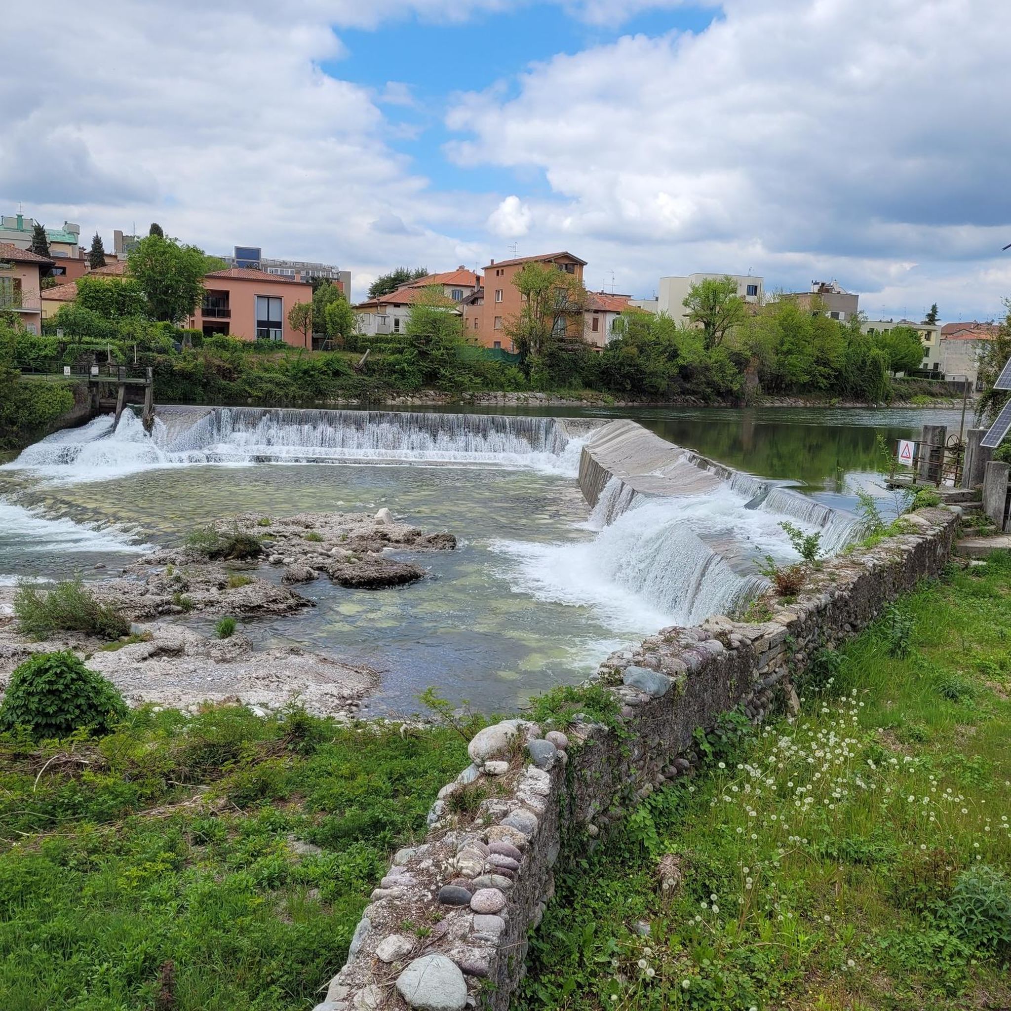
The Borgogna canal is an artificial canal about 18 km long, derived from the Serio river, which runs through the province of Bergamo. The Burgundy Canal has very ancient origins, which date back to between the end of the 11th and the beginning of the 12th century. In that period, in which the area was torn apart by the struggles between the Municipalities of the Lombard League and the empire of Frederick Barbarossa, the Peace of Constance was stipulated, a treaty by which the emperor recognized the Lombard League and gave it to the Municipalities that they made up concessions in the administrative, political and judicial fields, including gifts, among which there was also the management and exploitation of waterways. (wikipedia)
2
0
Built in 1969 by the Alpine group of Scanzo, it is dedicated to the Madonna Queen of Peace.
0
0
Frequently Asked Questions
What types of hiking trails can I find around Pedrengo?
Pedrengo offers a variety of hiking experiences, primarily characterized by scenic vineyard paths and gentle hills. You'll find routes ranging from leisurely walks through agricultural areas to paths leading to viewpoints. The broader region also provides access to more mountainous terrain for experienced hikers.
How many hiking routes are available in the Pedrengo area?
There are over 10 hiking routes available around Pedrengo. These include 9 easy trails and 4 moderate trails, providing options for various fitness levels.
Are there any easy hiking trails suitable for beginners or families?
Yes, Pedrengo has several easy trails. An excellent option is the Street Art in Villa di Serio loop from Scanzorosciate, an easy 7.5 km trail. Another family-friendly choice is the Rocca di Brusaporto loop from Seriate, which is 5.8 km long and also rated as easy.
What kind of natural features or landmarks can I see while hiking near Pedrengo?
While hiking near Pedrengo, you can enjoy vineyard-laden landscapes and local hills. The wider region offers access to impressive natural features such as various mountain peaks like Canto Alto Summit and Monte Misma Summit. You might also encounter significant points like the Croce dei Morti Chapel or the Colle di Ranica Cross.
Are there any circular hiking routes around Pedrengo?
Yes, many of the trails around Pedrengo are circular, offering convenient starting and ending points. Examples include the Vescovado Vineyards Walk loop from Scanzorosciate and the Roggia Borgogna Trail – Vescovado Vineyards Walk loop from Scanzorosciate, both of which provide a loop experience through the local scenery.
What do other hikers say about the trails in Pedrengo?
The trails in Pedrengo are highly regarded by the komoot community, with an average rating of 4.4 stars from over 3200 reviews. Hikers often praise the scenic vineyard paths and the diverse landscapes that offer options for different ability levels.
Are there any viewpoints or mountain passes accessible from Pedrengo?
Yes, the region around Pedrengo features several viewpoints and mountain passes. You can explore areas like Colle Gallo or the Salmezza Pass Viewpoint, which offer expansive views of the surrounding landscapes.
What is the best time of year to go hiking in Pedrengo?
The area around Pedrengo, being in Lombardy, generally offers pleasant hiking conditions from spring through autumn. Spring brings blooming vineyards, while autumn provides vibrant colors. Summer is also suitable, though it's advisable to hike earlier in the day to avoid the midday heat.
Are there any moderate trails for hikers looking for a bit more challenge?
Certainly. For those seeking a moderate challenge, the Vescovado Vineyards Walk loop from Seriate is a great option. This 7.3 km trail includes some elevation gain, offering a more engaging experience than the easier routes.
Can I reach hiking trailheads in Pedrengo using public transport?
Pedrengo is well-connected within the Bergamo region. While specific public transport details for each trailhead vary, the general area is accessible, and local bus services often connect to nearby towns and villages, which can serve as starting points for hikes.
Are there any cultural or historical sites near the hiking trails?
Beyond natural beauty, the region offers cultural points of interest. For example, the Monte di Nese Sanctuary is located near some of the mountain passes, providing a blend of hiking with historical and religious significance.
What is the typical terrain like on Pedrengo's hiking trails?
The terrain around Pedrengo is generally varied, featuring well-maintained paths through vineyards, some paved sections, and natural dirt trails in the more hilly areas. While some routes have gentle ascents, most are not overly strenuous, making them accessible to a wide range of hikers.
Most popular attractions around Pedrengo

Get inspired with the komoot mobile app


Explore more
Browse the best Hikes in other regions.
