The best walks and hikes around Carobbio Degli Angeli
4.3
(1592)
8,096
hikers
20
hikes
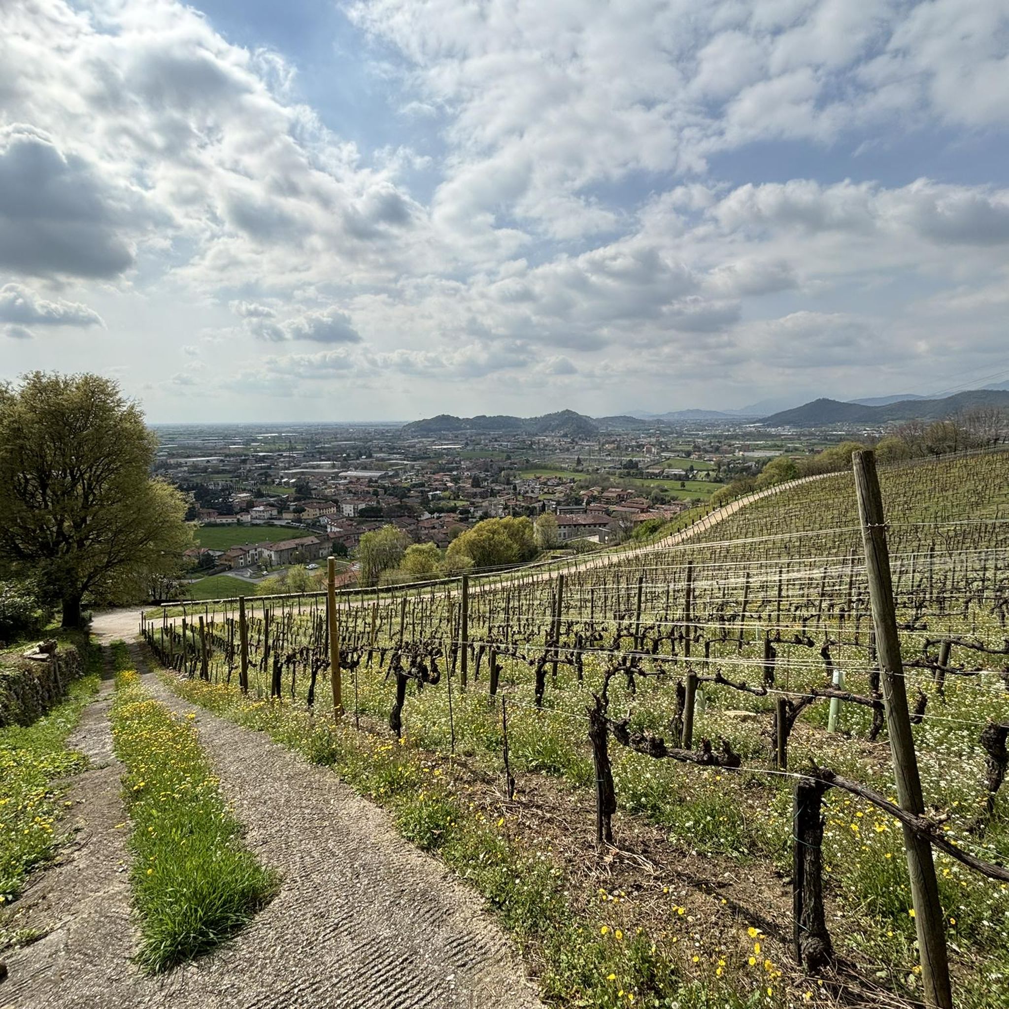
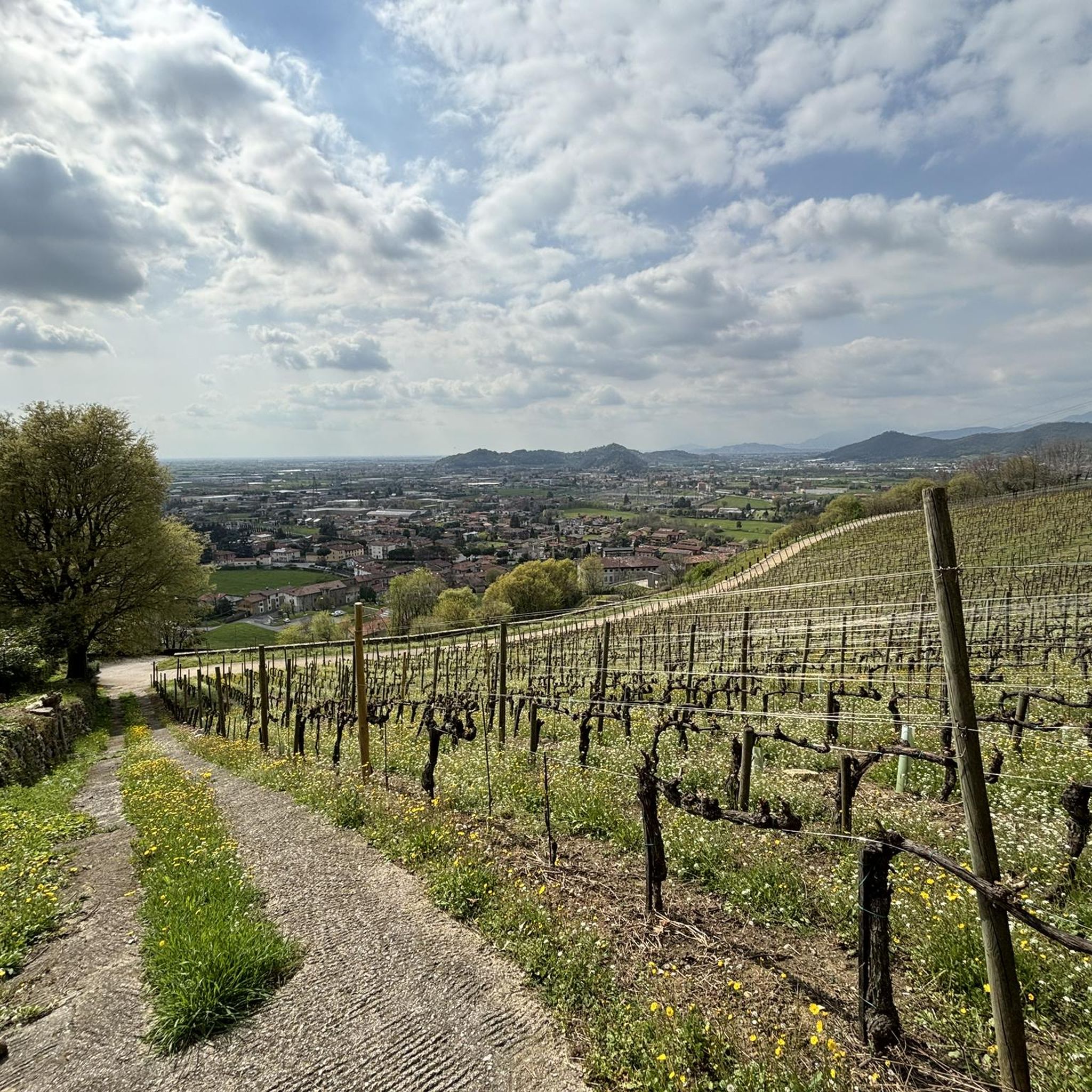
Hiking around Carobbio Degli Angeli offers diverse landscapes, transitioning from plains to the foothills of the Prealps in Italy's Lombardy region. The area features an even mix of hills and plains, characterized by extensive woods, scrubland, and agricultural lands. This varied topography provides a range of natural features for outdoor exploration, including vineyards in the hilly areas. The broader Province of Bergamo is known for its natural beauty and biodiversity, encompassing the Bergamo Alps and numerous valleys.
Best hiking trails…
Last updated: July 7, 2026
4.3
(6)
14
hikers
14.1km
04:17
470m
470m
Moderate hike. Good fitness required. Easily-accessible paths. Suitable for all skill levels.
3.7
(3)
5
hikers
7.20km
02:23
340m
340m
Moderate hike. Good fitness required. Mostly accessible paths. Sure-footedness required.

Sign up for free
1
hikers
5.86km
01:49
210m
210m
Moderate hike. Great for any fitness level. Mostly accessible paths. Sure-footedness required.
5.0
(2)
16
hikers
6.72km
02:10
290m
290m
Moderate hike. Good fitness required. Mostly accessible paths. Sure-footedness required.
4.4
(7)
16
hikers
Hard hike. Very good fitness required. Easily-accessible paths. Suitable for all skill levels.
Get access to more routes and recommendations from other explorers.
Sign up for free
Already have an account?
Our route recommendations are based on thousands of hikes, rides, and runs completed by other people on komoot.
Start today with a free account
Your next adventure awaits.
Login or Signup

Tips from the Community

Very technical e-mtb ride in certain points but beautiful. Better if it hasn't rained for at least one or two weeks.
0
0

The place of worship is located on the upper part of the Via di Sant'Anna near the marble quarries of Zandobbio,
0
0
Adventure park and educational farm in Gandosso.
0
0
Crossroads of different paths
0
0

Saint John of the Ants not of the Doors
1
0

I did it both with MTB and E MTB as a first outing with a new bike. And another world with E bike
1
0

Elia, in your opinion, is it better to do it by mountain bike or by e-mtb?
0
0
Frequently Asked Questions
How many hiking trails are available around Carobbio degli Angeli?
There are over 15 hiking trails around Carobbio degli Angeli, offering a diverse range of experiences. These routes traverse the region's unique landscape, which blends plains with the foothills of the Prealps, featuring extensive woods, scrubland, and agricultural areas.
Are there any easy or family-friendly hiking options in Carobbio degli Angeli?
Yes, Carobbio degli Angeli offers several easy and family-friendly hiking options. The area's varied topography includes trails suitable for different skill levels, with 6 routes specifically categorized as easy. The View of Via Duria – Via Duria loop from Chiuduno is a moderate 7.7 km route that can be a good option for families looking for a slightly longer walk, while the View of Via Duria – Via Duria loop from Carobbio degli Angeli offers a similar experience starting closer to the town.
What kind of landscapes can I expect to see while hiking here?
Hikers in Carobbio degli Angeli will experience a diverse landscape characterized by an equal blend of hills and plains. You'll find extensive woods, scrubland, and agricultural fields. The hilly areas are often adorned with vineyards, creating picturesque scenes, while the broader Province of Bergamo is known for its natural beauty, including the majestic Bergamo Alps and numerous valleys.
Are there any circular walks available around Carobbio degli Angeli?
Yes, there are several circular walks. For instance, the View of Via Duria – Via Duria loop from Chiuduno and the View of Via Duria – Via Duria loop from Carobbio degli Angeli are both moderate circular routes that allow you to start and end in the same location, offering convenient exploration of the local scenery.
What are some notable attractions or landmarks to see near the hiking trails?
Beyond the trails, you can explore several interesting landmarks. The municipality is home to the unique Malpaga Castle and Trebecco Castle, offering a glimpse into the region's history. For natural beauty, the Madonna of the Cyclists at Colle Gallo provides a scenic viewpoint, and the Cesulì Chapel offers views of Lake Endine.
What do other hikers enjoy most about hiking in Carobbio degli Angeli?
The hiking experience in Carobbio degli Angeli is highly rated by the komoot community, with an average score of 4.3 stars from over 1300 reviews. Hikers often praise the blend of hills, plains, and woodlands, and the variety of trails suitable for different skill levels. The area's natural beauty and well-maintained paths are frequently highlighted.
Are there any hikes with good viewpoints in the area?
Yes, several trails offer rewarding views. The Monte Bronzone peace bell trail (via Route 799) leads to a peace bell, providing scenic vistas from Monte Bronzone. Similarly, the Monte Bronzone Summit Trail (via CAI 760) takes you through hilly terrain towards the summit, promising expansive views of the surrounding landscape.
What is the best time of year to go hiking in Carobbio degli Angeli?
The diverse landscape of Carobbio degli Angeli makes it suitable for hiking across multiple seasons. Spring and autumn offer pleasant temperatures and vibrant scenery, with blooming flora or rich fall colors. Summer is also popular, especially in the wooded areas, while winter can provide unique experiences, though some higher elevation trails might require appropriate gear.
Can I spot wildlife while hiking in this region?
The Province of Bergamo, including the area around Carobbio degli Angeli, is known for its rich biodiversity. The extensive woods, scrubland, and varied landscapes provide habitats for diverse wildlife. Keep an eye out for local fauna, especially in quieter, less crowded areas and during early morning or late afternoon hikes.
Are there opportunities for longer day hikes near Carobbio degli Angeli?
Absolutely. For those seeking a longer day hike, the Trail 650 from Carobbio degli Angeli to San Giovanni delle Formiche is an excellent choice. This moderate 14.1 km route typically takes over 4 hours to complete, connecting two local points of interest and offering a substantial trekking experience.
Is Carobbio degli Angeli close to any larger natural parks?
Yes, Carobbio degli Angeli is conveniently located near the Parco dei Colli di Bergamo, which is the third-largest natural park in Lombardy. This expansive park features nearly 5,000 hectares of stunning scenery and an extensive network of 75 kilometers of well-maintained paths, perfect for extended hikes and exploring diverse ecosystems. You can find more information about the region's natural beauty on italia.it.
Most popular routes around Carobbio Degli Angeli
Most popular attractions around Carobbio Degli Angeli

Get inspired with the komoot mobile app


Explore more
Browse the best Hikes in other regions.
