The best mountain hikes around Roverè Veronese
4.9
(19)
187
hikers
7
hikes
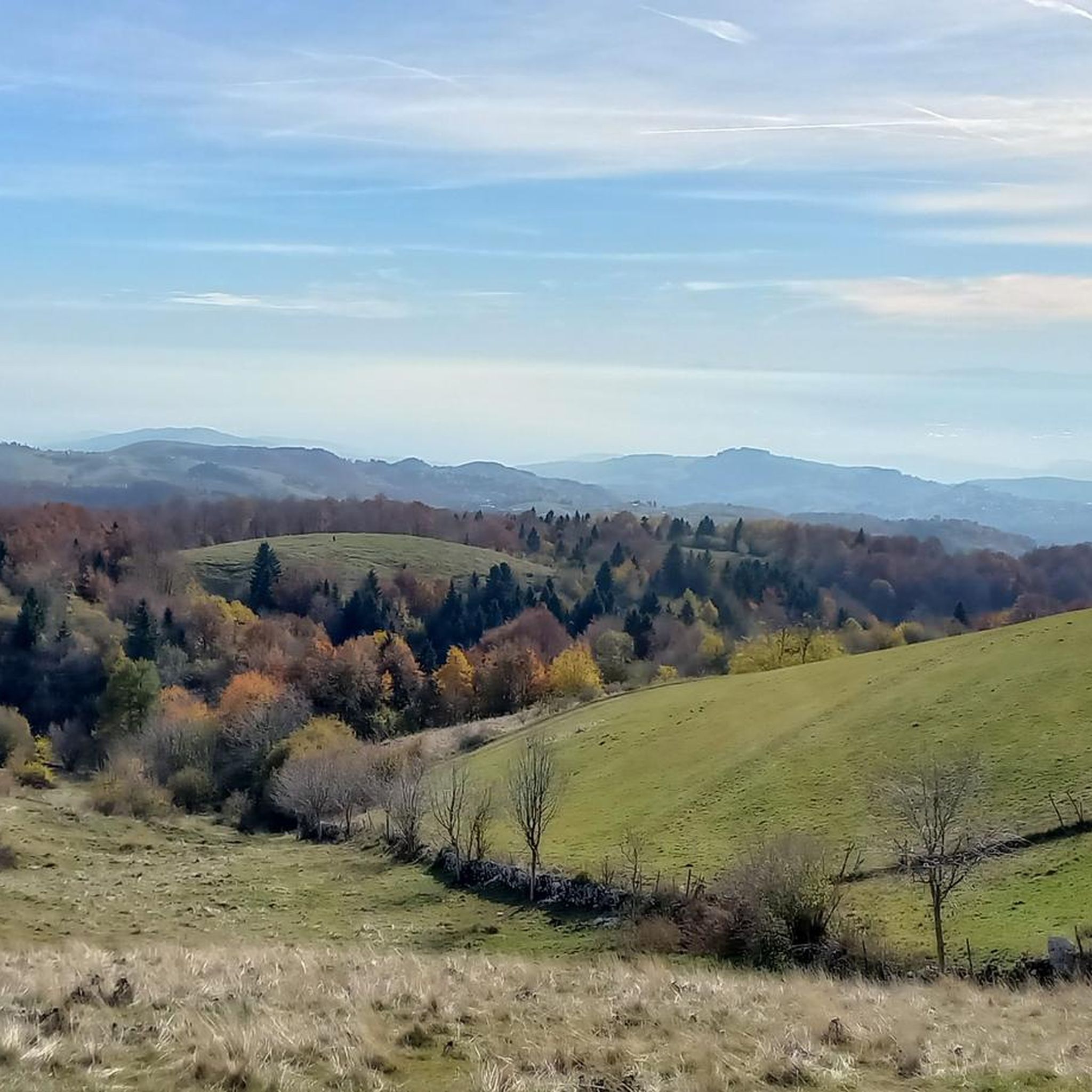
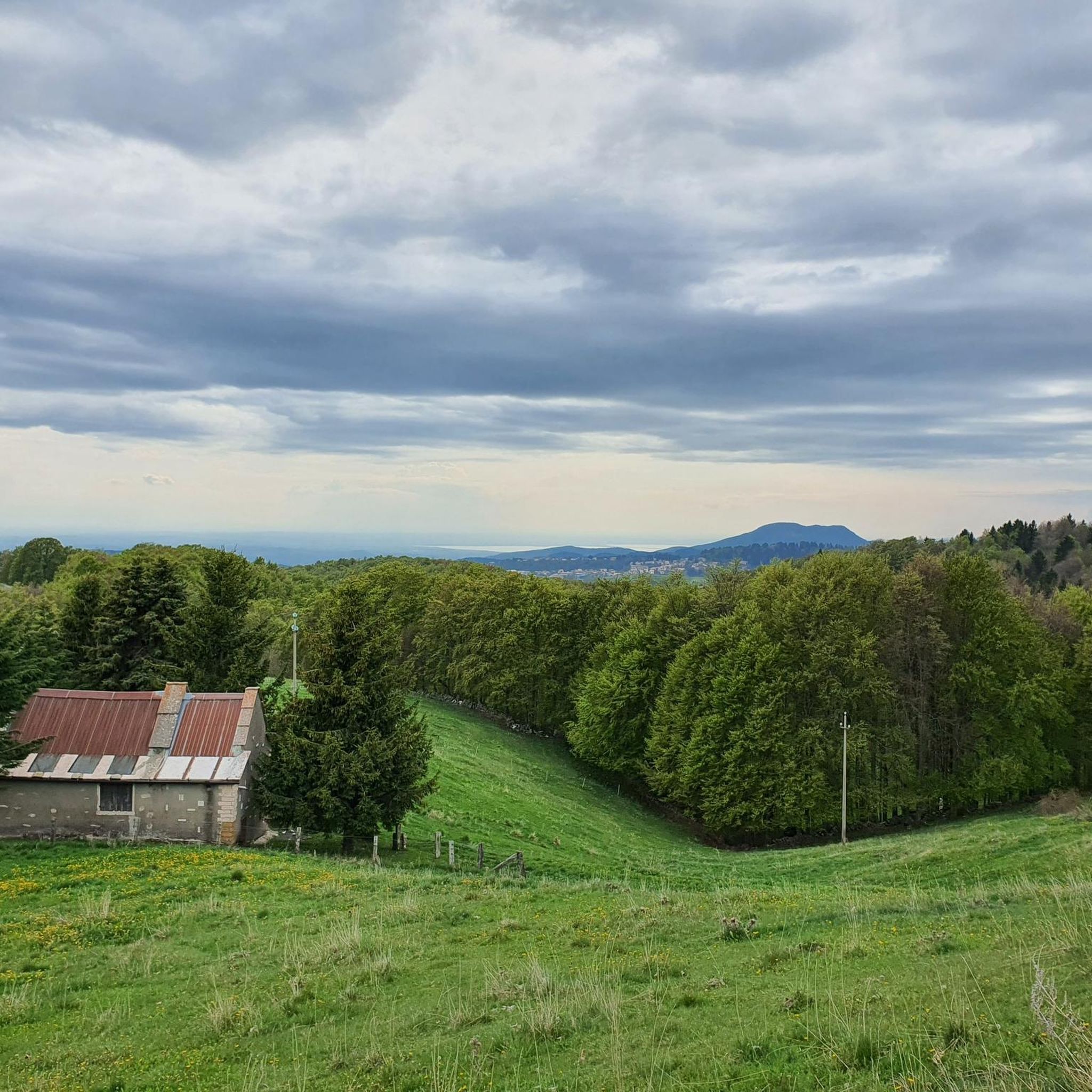
Mountaineering routes around Roverè Veronese are situated within the Lessinia plateau, an area characterized by its elevation of 843 meters above sea level and distinctive karst topography. The region features a compelling mix of expansive meadows, dense beech and fir forests, and prominent ridges that separate picturesque valleys. Cima Trappola, the highest point of the Lessinian plateau, offers extensive panoramic views, while unique karst features like the Valley of the Sphinxes add geological interest. This diverse terrain provides varied and…
Last updated: October 8, 2026
4.5
(4)
52
hikers
Hard mountaineering route. Good fitness required. Sure-footedness, sturdy shoes and alpine experience required.
5.0
(3)
32
hikers
Hard mountaineering route. Very good fitness required. Mostly accessible paths. Sure-footedness required.

4.8
(4)
26
hikers
5.84km
03:10
530m
530m
Hard mountaineering route. Good fitness required. Sure-footedness, sturdy shoes and alpine experience required.
5.0
(1)
18
hikers
14.1km
06:47
1,100m
1,100m
Hard mountaineering route. Very good fitness required. Sure-footedness, sturdy shoes and alpine experience required.
5.0
(2)
5
hikers
Moderate mountaineering route. Good fitness required. Mostly accessible paths. Sure-footedness required.
Get access to more routes and recommendations from other explorers.
Already have an account?
Our route recommendations are based on thousands of hikes, rides, and runs completed by other people on komoot.
Start today with a free account
Your next adventure awaits.

Tips from the Community

be careful, there is a ban on bicycles
0
0

Beautiful stretch of trail 221, exposed and appropriately equipped with a metal rope on the wall.
0
0

Mount Zèvola (1,976 m) is the highest peak in the Tre Cime mountain chain, one of the mountain groups of the Little Dolomites (the Tre Croci chain, the Carega Group, the Sengio Alto chain, and the Pasubio Massif). The summit is actually divided in two by the deep Vajo dell'Acqua: Zevola Alta (1,976 m) and Zevola Bassa or Antecima (1,961 m), with the cross. From up here, you can enjoy a stunning 360° panorama: on one side, there's an excellent view of Carega and Pasubio, and on the other, the entire Lessinia plateau. The climb from Passo Zevola is short but steep.
0
0
From Monte Gramolòn (1,814 m), you have a breathtaking 360° view of the Piccole Dolomiti, the Sentiero dei Grandi Alberi trail below, and, on the opposite side, the Lessinia mountains! The climb from Passo Ristele (to the north) is short but steep, and breathtaking! From Passo della Scagina (to the south), it's even steeper and more technical, EE, with frequent switchbacks that ascend a deep gully: very evocative. On this side, there are also the Angelo Viali and Ferrari via ferratas. The summit, with its cross, touches a spectacular but exposed ridgeline over the precipice, so be careful and avoid leaning out. The toponym derives from the dialect verb 'sgramolare', meaning to break into lumps: therefore, 'Gramolon' means the mountain that crumbles, due to subsidence and scree!
0
0

Rifugio Battisti is a starting point for beautiful walks and a stopover for bike rides with spectacular landscapes.
0
0

Open all year round on weekends and every day in summer
0
0


A journey through history
0
0
Frequently Asked Questions
What kind of terrain can I expect on mountaineering routes around Roverè Veronese?
Mountaineering routes in Roverè Veronese are primarily located within the Lessinia plateau, characterized by distinctive karst topography. You'll encounter expansive meadows, dense beech and fir forests, and prominent ridges separating picturesque valleys. Unique geological features like the Valley of the Sphinxes and natural caves are also part of the landscape.
How many mountaineering routes are available in Roverè Veronese, and what are their difficulty levels?
There are 10 mountaineering routes around Roverè Veronese. The majority are challenging, with 8 routes rated as difficult and 2 as moderate. This offers a good range for experienced mountaineers and those looking for a significant challenge.
Are there any routes that include via ferratas in the Roverè Veronese area?
Yes, for those seeking a via ferrata experience, consider the Via Ferrata Angelo Viali – Gramolon Peak loop from Località La Piatta. This difficult route covers 5.8 km and includes the Angelo Viali via ferrata, offering a thrilling ascent to Monte Gramolòn.
What are the best times of year for mountaineering in Roverè Veronese?
The best times to visit Roverè Veronese for mountaineering are spring (April to June) and early autumn (September to October). During these periods, the weather is generally mild and skies are clear, providing ideal conditions for exploring the trails and enjoying the panoramic views.
What do other mountaineers say about the routes in Roverè Veronese?
The mountaineering routes around Roverè Veronese are highly rated by the komoot community, with an average score of 4.8 stars from around 45 reviews. Users frequently praise the challenging terrain, stunning panoramic views, and the unique karst landscapes of the Lessinia plateau.
Are there any notable peaks or viewpoints accessible via these routes?
Absolutely. Many routes lead to prominent peaks offering breathtaking vistas. For example, the Carega Peak – Rifugio Scalorbi loop ascends to Carega Peak, providing extensive panoramic views across the Lessinia plateau. You can also find the Cima Carega Summit Cross along some routes.
Are there any mountain huts or refuges along the mountaineering trails?
Yes, several routes pass by or lead to mountain huts. The Rifugio Cesare Battisti – Monte Zevola loop and the Rifugio Cesare Battisti – Monte Obante loop both involve the Cesare Battisti Hut at Tre Croci. Other huts in the area include Podestaria Mountain Hut and Castelberto Hut.
What are some natural attractions or landmarks to look out for in the region?
Beyond the trails themselves, the Lessinia region is rich in natural wonders. Keep an eye out for the unique monolithic blocks in the Valley of the Sphinxes, the impressive Veja Bridge, and the expansive Lessinia Plateau itself. The Corno d'Aquilio is another notable summit.
Are there any moderate mountaineering options for those looking for a less strenuous climb?
Yes, while most routes are difficult, there are a couple of moderate options. The Carega Peak loop from Riserva naturale guidata di Campobrun is a moderate 9.8 km trail that still offers varied mountain landscapes and takes about 4 hours 58 minutes to complete.
What should I consider packing for mountaineering in Roverè Veronese?
Given the challenging terrain and potential for varying weather conditions, it's advisable to pack appropriate mountaineering gear. This includes sturdy hiking boots, layers of clothing, waterproof outerwear, sufficient water and snacks, a map or GPS device, and a first-aid kit. For winter ascents, crampons may be necessary, especially on higher peaks like Cima Carega.
Are there any circular mountaineering routes in Roverè Veronese?
Many of the mountaineering routes in Roverè Veronese are designed as loops, allowing you to start and end at the same point. Examples include the Carega Peak – Rifugio Scalorbi loop and the Rifugio Cesare Battisti – Monte Zevola loop, both starting from Riserva naturale guidata di Campobrun.
Most popular routes around Roverè Veronese
Most popular attractions around Roverè Veronese

Get inspired with the komoot mobile app


Explore more
Browse the best Mountain Hikes & Routes in other regions.
