The best walks and hikes around Gambugliano
4.4
(2269)
12,173
hikers
667
hikes
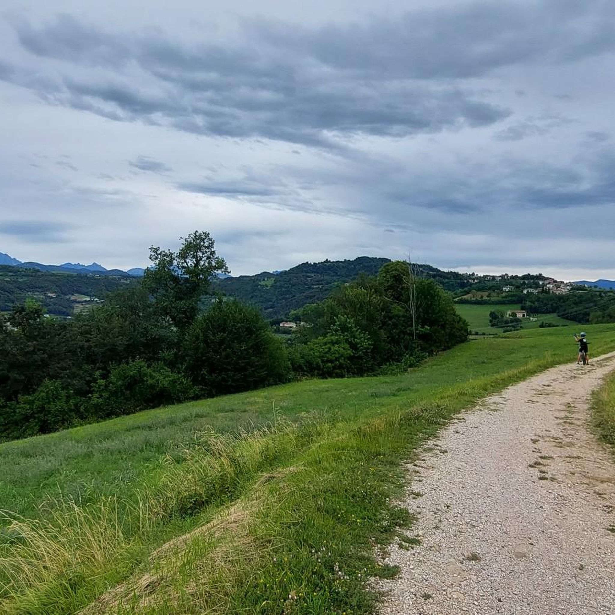
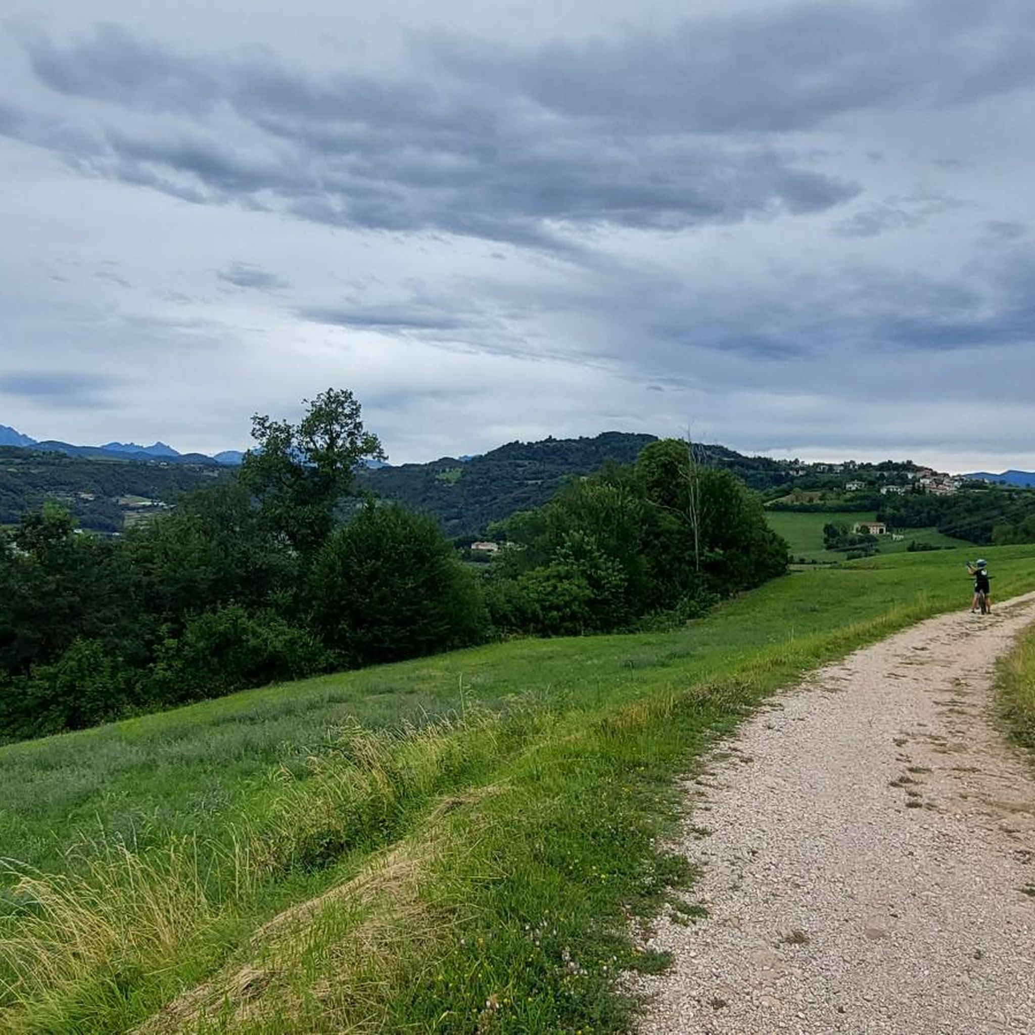
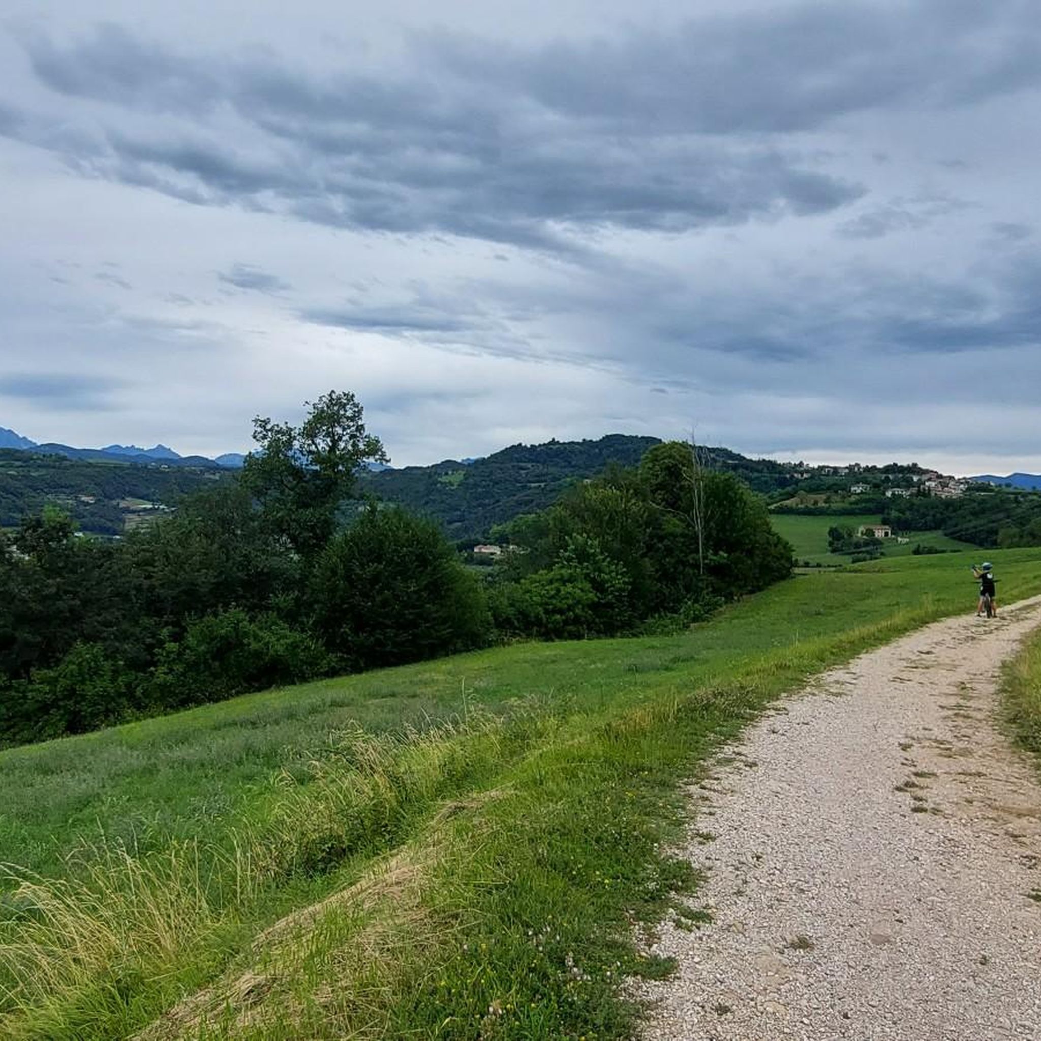
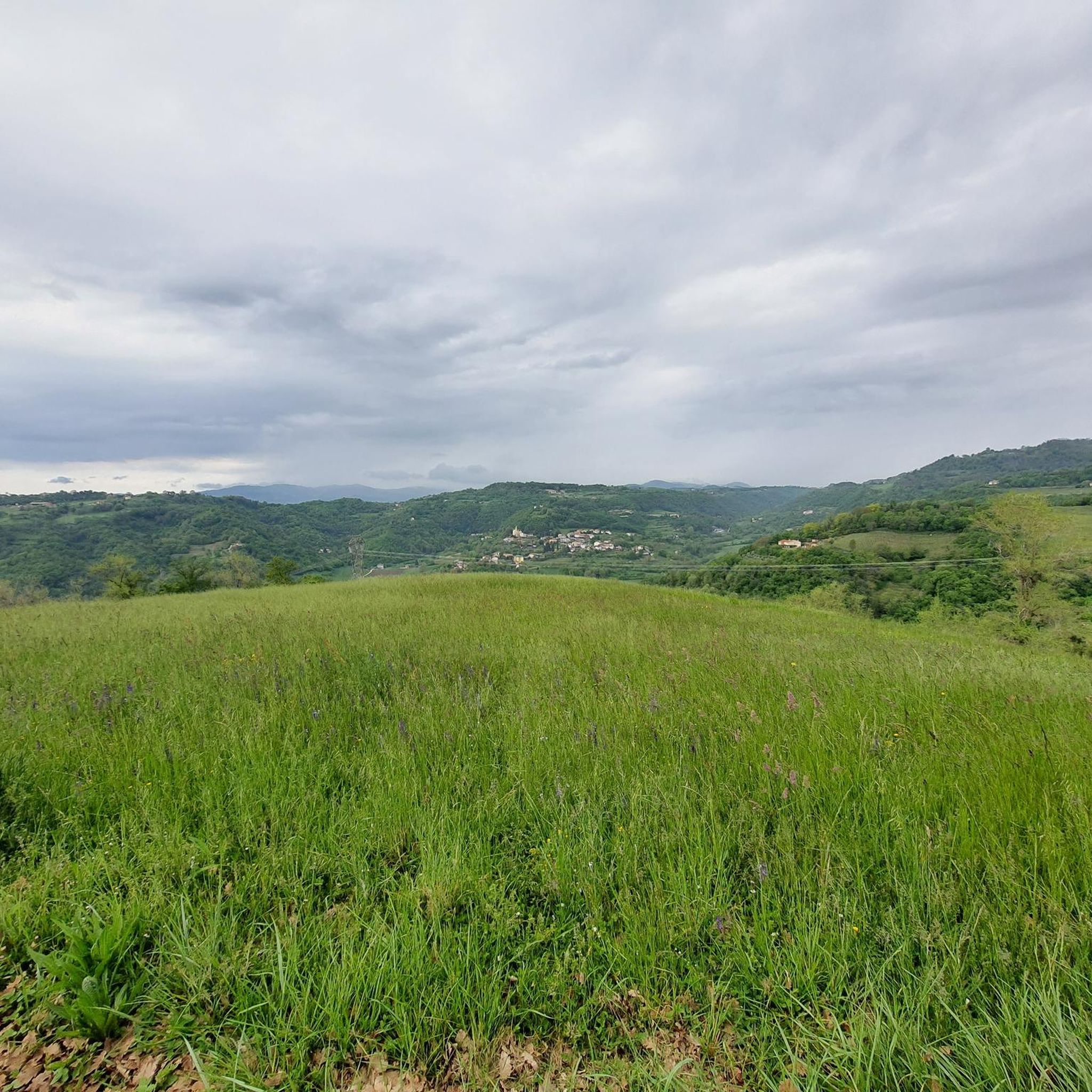
Hiking around Gambugliano offers diverse landscapes characterized by predominantly hilly terrain, set upon the Castellari mountains, with parts extending into the Valdiezza valley. The region features a karstic origin, contributing to unique geological formations. This area provides varied elevations and natural settings for outdoor exploration.
Best hiking trails around Gambugliano
- The most popular hiking route is Sentiero Strada False to Madonna delle Grazie Sanctuary, a 3.3 miles (5.3 km) trail that takes 1 hour 28 minutes to complete. This…
Last updated: June 30, 2026
3.8
(5)
16
hikers
5.27km
01:28
100m
100m
Easy hike. Great for any fitness level. Easily-accessible paths. Suitable for all skill levels.
4.6
(24)
76
hikers
Moderate hike. Good fitness required. Easily-accessible paths. Suitable for all skill levels.

Sign up for free
4.3
(9)
27
hikers
7.58km
02:05
120m
120m
Moderate hike. Good fitness required. Easily-accessible paths. Suitable for all skill levels.
4.2
(19)
49
hikers
9.21km
02:32
160m
160m
Moderate hike. Good fitness required. Easily-accessible paths. Suitable for all skill levels.
5.0
(2)
11
hikers
3.34km
00:53
40m
40m
Easy hike. Great for any fitness level. Easily-accessible paths. Suitable for all skill levels.
Get access to more routes and recommendations from other explorers.
Sign up for free
Already have an account?
Our route recommendations are based on thousands of hikes, rides, and runs completed by other people on komoot.
Start today with a free account
Your next adventure awaits.
Login or Signup
Tips from the Community

Beautiful and simple route, which can also be done with sports shoes.
0
0

Spacious panorama and ideal terrain for gravel, beautiful to do both uphill and downhill.
0
0

Special and beautiful
0
0

Simple panoramic tour to do in spring autumn due to exposure in shaded places.
0
0

Small abandoned and ruined district in the middle of the woods and the Valdiezza valley, along an easy path that connects Gambugliano to Torreselle. Only a small portion has been renovated with new windows and an armored door, but I have never seen anyone live there.
2
0

Very technical path especially in the first meters towards Torreselle. Definitely more suitable for mtb but also recommended for gravel if you don't mind doing a few meters of portage.
1
0

Little maintained capital but to be reported in the area, there is also a bench a few meters away for those who need to stop and take a breath
0
0
Military road built by the French army in 1918. This section is part of a longer cycling route (https://www.komoot.it/highlight/3456685), called Ortogonale 1, which goes from Monteviale to Campogrosso (https: / /ortogonale1.com/).
2
0
Frequently Asked Questions
What kind of terrain can I expect when hiking in Gambugliano?
Gambugliano is characterized by its predominantly hilly terrain, set upon the Castellari mountains, with parts extending into the Valdiezza valley. The region also features a unique karstic origin, which means you might encounter distinctive geological formations like caves and sinkholes. This varied landscape offers diverse elevations and natural settings for exploration.
How many hiking trails are available in Gambugliano?
There are over 600 hiking routes available in Gambugliano, catering to various skill levels. This includes approximately 275 easy trails, 329 moderate routes, and 25 more challenging options, ensuring there's a path for every hiker.
Are there any family-friendly hiking options in Gambugliano?
Yes, Gambugliano offers several easy trails suitable for families. A great option is the Sentiero Strada False to Madonna delle Grazie Sanctuary, which is a gentle 5.3 km path that takes about 1 hour 28 minutes to complete. It passes World War I observation points and leads to a peaceful sanctuary, making it an accessible and engaging walk for all ages.
What are some notable natural features or landmarks to look out for on the trails?
Gambugliano's landscape is rich in natural and historical points of interest. You can explore areas with karst topography, which includes caves like Buso della Rana Cave and Lucio's Hole. The region is also known for its significant fossil deposits, particularly at the 'Covolo' site. Additionally, some trails pass by historical observation points from World War I.
Are there any circular hiking routes in the area?
Yes, Gambugliano features several circular routes. A popular moderate option is the Bosco d'Oro Mule Track – Abandoned house (Valdiezza) loop from Gambugliano. This 9.6 km trail takes about 2 hours 54 minutes and winds through an abandoned hamlet in the Valdiezza valley, offering a blend of historical and natural scenery.
What do other hikers enjoy most about the trails in Gambugliano?
The hiking trails in Gambugliano are highly rated by the komoot community, with an average score of 4.4 stars from over 2,200 reviews. Hikers often praise the diverse landscapes, the tranquility of the natural settings, and the blend of historical and geological points of interest found along the paths.
Are there any historical sites or cultural attractions near the hiking trails?
Beyond natural beauty, the area holds significant historical and archaeological interest. You might encounter remnants of Roman and medieval structures, including castles, along various paths. Notable nearby attractions include the Villa La Rotonda and the Sanctuary of Monte Berico, both offering cultural insights.
What is the typical duration for hikes in Gambugliano?
Hike durations in Gambugliano vary widely depending on the trail's length and difficulty. For example, an easy route like the Sentiero Strada False to Madonna delle Grazie Sanctuary can be completed in about 1 hour 28 minutes, while a moderate loop such as the Bosco d'Oro Mule Track – Abandoned house (Valdiezza) loop typically takes around 2 hours 54 minutes.
Are there any easy, accessible hikes for beginners or those seeking a relaxed walk?
Absolutely. For a relaxed experience, consider the Sentiero Strada False to Madonna delle Grazie Sanctuary, which is an easy 5.3 km path. Another accessible option is the Hiking loop from Gambugliano, a shorter 3.3 km easy trail that can be completed in under an hour.
What kind of geological history defines the mountains in Gambugliano?
The mountains around Gambugliano have a fascinating geological past, marked by submarine volcanic and metamorphic phenomena. This history, combined with the region's karstic origin and rich fossil deposits from the Miocene and Oligocene epochs, contributes to the distinct character of its terrain and offers unique points of interest for those exploring the area.
Are there any trails that offer views of the Vicentine mountains?
Yes, some trails provide scenic views of the surrounding landscape. The gentle path leading to the Madonna delle Grazie Sanctuary, for instance, offers peaceful vistas of the Vicentine mountains, providing a rewarding experience after a relatively easy walk.
Can I find trails that lead through dense woods and cultivated fields?
Yes, the region offers trails that immerse you in varied natural settings. The 'Sentiero degli Ulivi' (Olive Tree Path), for example, is known for leading through dense woods and cultivated fields, providing picturesque scenery and a tranquil hiking experience.
Most popular routes around Gambugliano
Most popular attractions around Gambugliano

Get inspired with the komoot mobile app


Explore more
Browse the best Hikes in other regions.
