The best walks and hikes around Nogarole Vicentino
4.4
(1875)
8,725
hikers
11
hikes
Hiking around Nogarole Vicentino offers diverse landscapes, situated between the Berici Hills and the Adige River. The region features varied topography, including the scenic Agno Valley and lush mountainous and hilly areas, contributing to its pre-alpine character. Positioned on a ridge line of the Chiampo valley, the town provides impressive views. This area is characterized by a network of well-maintained trails suitable for various skill levels.
Best hiking trails around Nogarole Vicentino
- The most popular hiking route is Cason dei…
Last updated: July 9, 2026
4.4
(22)
133
hikers
12.1km
03:37
370m
370m
Moderate hike. Good fitness required. Easily-accessible paths. Suitable for all skill levels.
4.2
(17)
53
hikers
Moderate hike. Good fitness required. Easily-accessible paths. Suitable for all skill levels.

Sign up for free
4.5
(8)
46
hikers
6.18km
01:56
240m
240m
Easy hike. Great for any fitness level. Easily-accessible paths. Suitable for all skill levels.
4.5
(2)
15
hikers
Moderate hike. Good fitness required. Easily-accessible paths. Suitable for all skill levels.
4.0
(1)
5
hikers
Moderate hike. Good fitness required. Easily-accessible paths. Suitable for all skill levels.
Get access to more routes and recommendations from other explorers.
Sign up for free
Already have an account?
Our route recommendations are based on thousands of hikes, rides, and runs completed by other people on komoot.
Start today with a free account
Your next adventure awaits.
Login or Signup
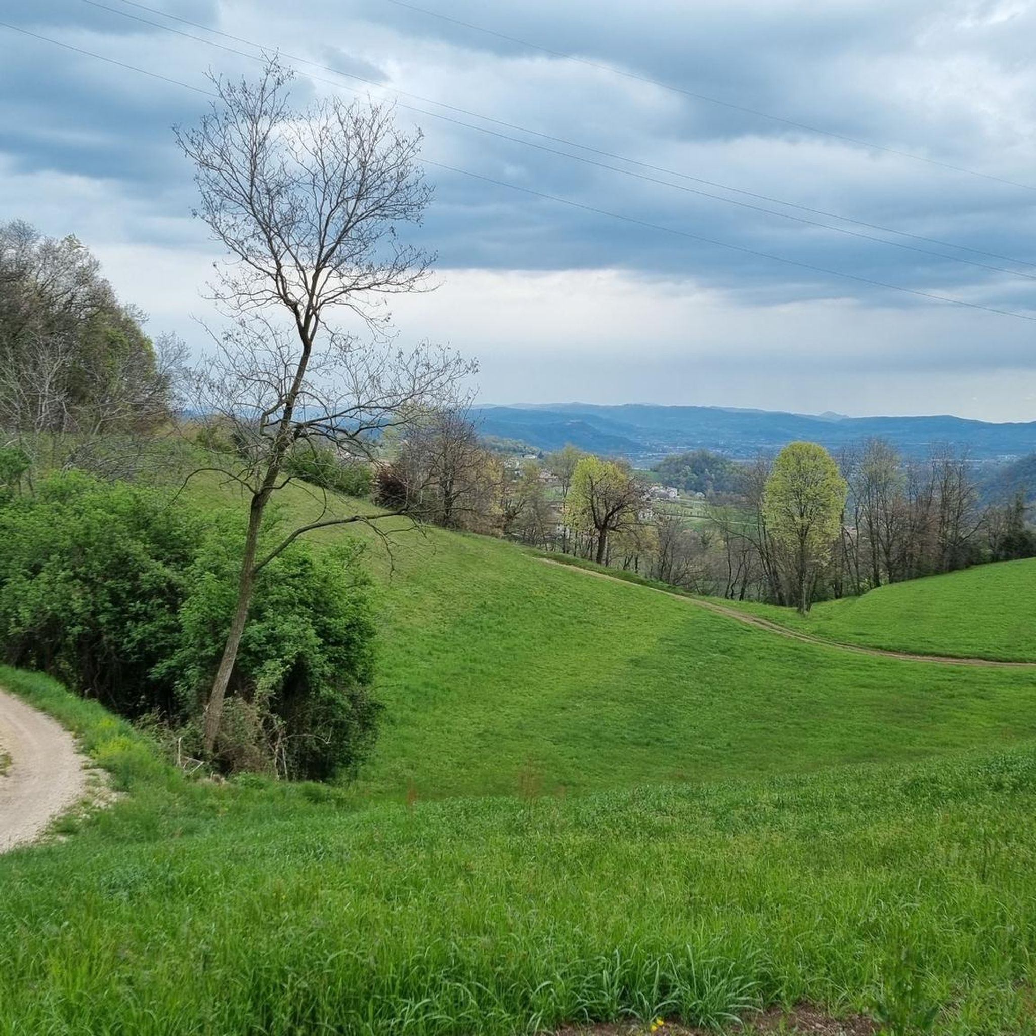

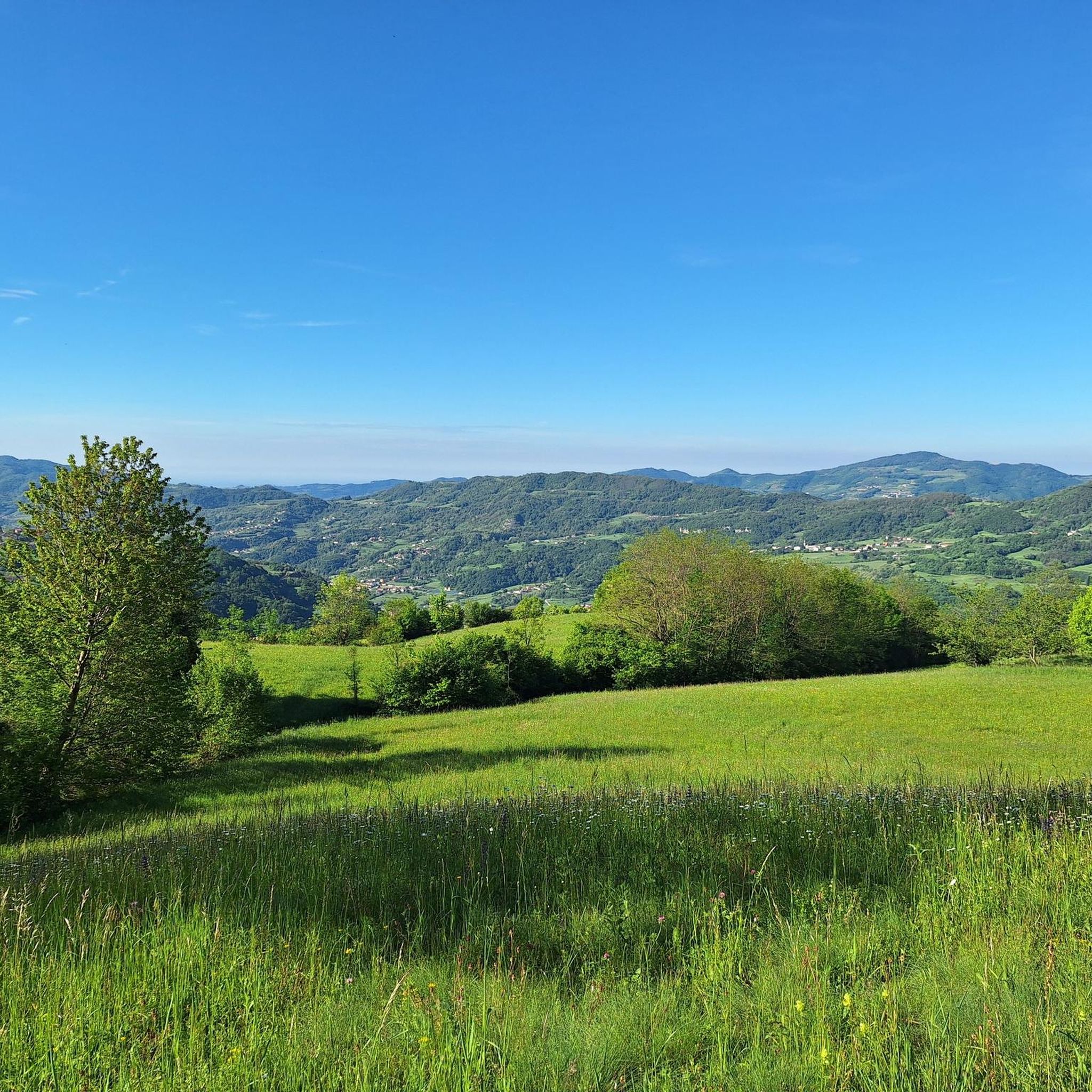
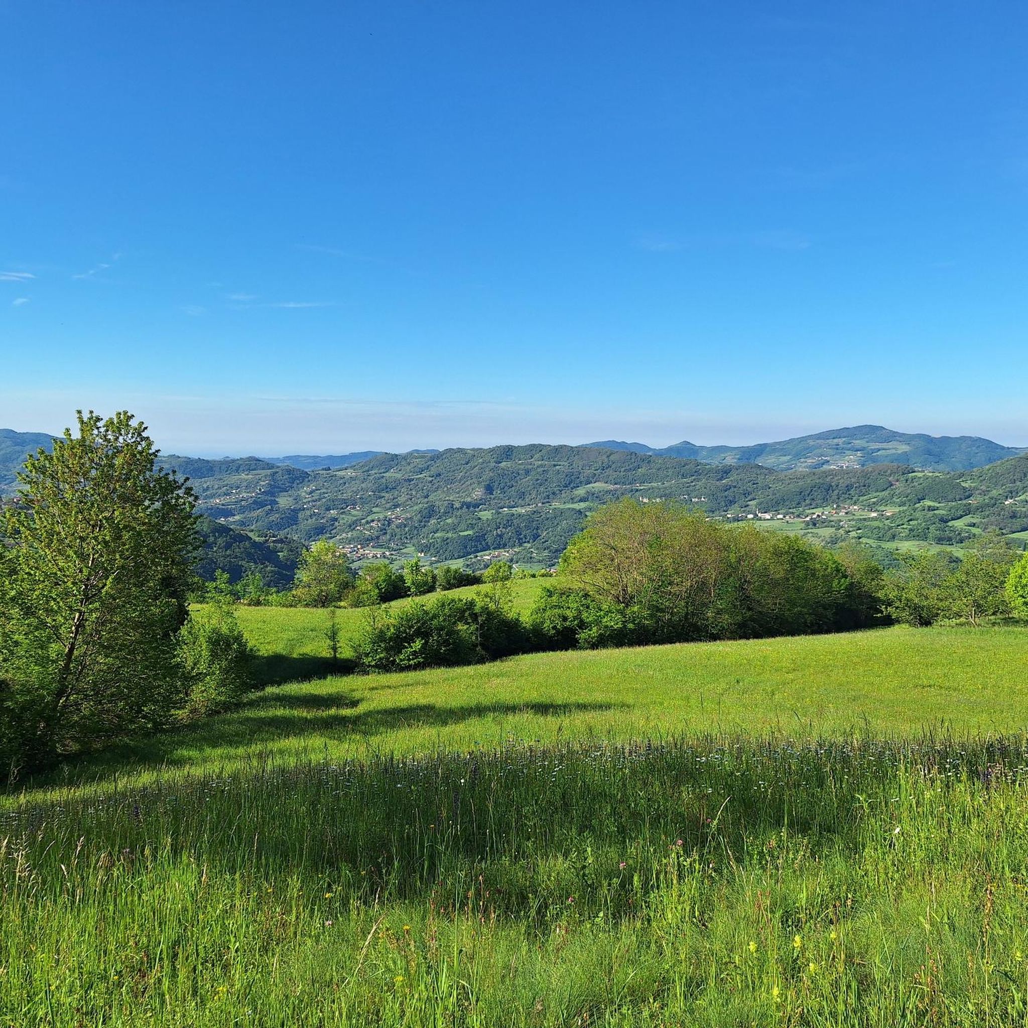
Tips from the Community

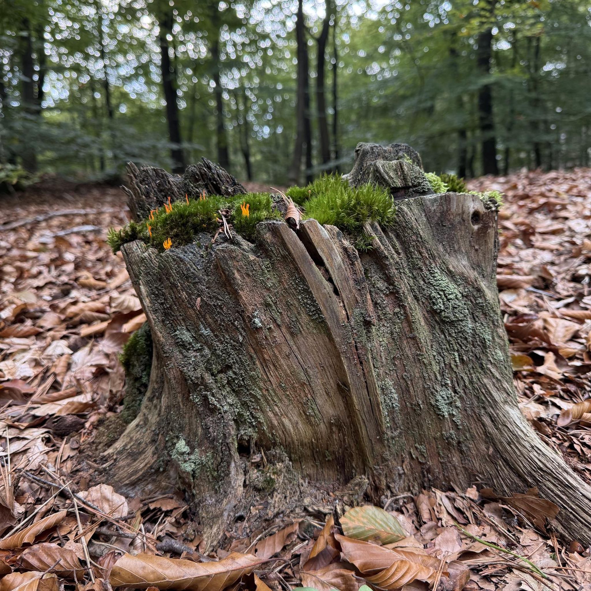
This is a wonderful season to walk through the woods.
0
0


one of the murals between Nogarole and Alvese that recall the old works. In this case the person who worked the pork to make sopresse coexini and cincionele
0
1
beautiful mural in the Rondini district that tells of the games of the past.
0
1
Very special mural that tells the games of the past. with a real element to complete the suggestion
0
0
Frequently Asked Questions
How many hiking trails are available in Nogarole Vicentino, and what are their difficulty levels?
Nogarole Vicentino offers a diverse network of 11 hiking trails. The majority, 9 routes, are considered moderate, providing a good challenge for most hikers. There are also 2 easier routes, perfect for a more relaxed outing.
Are there family-friendly hiking options in Nogarole Vicentino?
Yes, Nogarole Vicentino has several trails suitable for families. The region's diverse topography includes easier walks, and the area is known for its natural beauty, making it ideal for outdoor excursions with children. Many moderate trails are also manageable for active families.
Can I bring my dog on the hiking trails in Nogarole Vicentino?
Generally, dogs are welcome on the hiking trails in Nogarole Vicentino. It's always recommended to keep your dog on a leash, especially in areas with wildlife or near agricultural land, and to carry waste bags to maintain the cleanliness of the paths.
Are there many circular hiking routes in Nogarole Vicentino?
Yes, many of the trails in Nogarole Vicentino are designed as circular routes, allowing you to start and end your hike in the same location. For example, the Cason dei Verda – Church of Peace of Alvese loop from Chiampo is a popular option that explores rural surroundings and historic architecture.
What kind of natural features or viewpoints can I expect to see while hiking?
Nogarole Vicentino is nestled between the Berici Hills and the Adige River, offering varied topography including the scenic Agno Valley and lush mountainous areas. You can enjoy impressive views from higher points, such as those found on the View of the Mountains loop from Chiampo. The region is also associated with the 'Piccole Dolomiti,' providing a pre-alpine character and stupendous natural panoramas. For specific viewpoints, consider visiting View from Monte Verlaldo or Massignani Cross.
Are there any waterfalls or caves to explore near the hiking trails?
Yes, the area around Nogarole Vicentino features interesting natural formations. You can discover the beautiful Papalini Waterfall. For those interested in geological wonders, there are several caves, including the Buso della Rana Cave and the Buso delle Anguane Cave, offering unique exploration opportunities.
What cultural sights or landmarks can I explore on the trails?
Beyond natural beauty, Nogarole Vicentino offers cultural points of interest. The El Mas-Ciàro mural – Church of Peace of Alvese loop from San Pietro Mussolino passes by the Murales El Mas-Ciàro, which depict traditional local work. You can also find historical sites like the former Calvarina military base, adding a historical dimension to your hike.
What do other hikers enjoy the most about hiking in Nogarole Vicentino?
The hiking trails in Nogarole Vicentino are highly rated by the komoot community, with an average score of 4.5 stars from nearly 1800 reviews. Hikers often praise the diverse landscapes, the well-maintained paths, and the blend of natural beauty with cultural and historical points of interest. The varied topography, from river valleys to pre-alpine areas, is frequently highlighted.
Are there any longer, more challenging hikes for experienced trekkers?
While most routes are moderate, some trails offer a good workout with significant elevation gain. For instance, the Chiesetta del Faldo – Monte Faldo Summit Cross loop from Nogarole Vicentino covers over 11 km with more than 400 meters of ascent, providing a rewarding challenge for experienced hikers.
Are there places to eat or stay overnight along the trails?
Yes, along many hiking paths in the broader Nogarole Vicentino region, you can find rustic refuges. These provide excellent opportunities to sample local cuisine and, for those planning multi-day adventures, some offer overnight accommodation, allowing for extended exploration of the area.
What is the best time of year to go hiking in Nogarole Vicentino?
The diverse landscapes of Nogarole Vicentino make it suitable for hiking across multiple seasons. Spring and autumn offer pleasant temperatures and vibrant scenery, with blooming flowers or colorful foliage. Summer is also popular, though it can be warmer, while winter can provide unique, serene hiking experiences, especially in the higher areas, weather permitting.
Is public transport available to reach the trailheads in Nogarole Vicentino?
While specific public transport options to individual trailheads may vary, Nogarole Vicentino is a municipality within the province of Vicenza. It's advisable to check local bus schedules or regional transport services for connections to the main towns or starting points of the trails. Many routes, like the Church of Peace of Alvese – El Mas-Ciàro mural loop from San Pietro Mussolino, often start from nearby villages.
Most popular routes around Nogarole Vicentino
Most popular attractions around Nogarole Vicentino

Get inspired with the komoot mobile app


Explore more
Browse the best Hikes in other regions.
