The best walks and hikes around Arzignano
4.4
(348)
1,799
hikers
60
hikes
Hiking trails around Arzignano traverse diverse landscapes within the green hills of Vicenza, Italy. The region is characterized by valleys of volcanic origin and its proximity to the Lessinia Natural Regional Park, which features rugged terrain, expansive meadows, and pre-alpine characteristics. This geological history contributes to varied hiking routes suitable for different preferences.
Best hiking trails around Arzignano
- The most popular hiking route is Mill of the 3 Valleys – Oasi Baden Powell loop from Restena, a 7.5 miles…
Last updated: June 29, 2026
4.4
(21)
97
hikers
12.0km
03:29
320m
320m
Moderate hike. Good fitness required. Easily-accessible paths. Suitable for all skill levels.
4.6
(14)
57
hikers
15.3km
04:36
490m
490m
Moderate hike. Good fitness required. Mostly accessible paths. Sure-footedness required.

Sign up for free
4.1
(15)
113
hikers
7.88km
02:01
30m
20m
Moderate hike. Good fitness required. Easily-accessible paths. Suitable for all skill levels.
4.6
(7)
27
hikers
10.4km
03:01
270m
270m
Moderate hike. Good fitness required. Easily-accessible paths. Suitable for all skill levels.
4.3
(11)
50
hikers
11.7km
03:11
170m
170m
Moderate hike. Good fitness required. Easily-accessible paths. Suitable for all skill levels.
Get access to more routes and recommendations from other explorers.
Sign up for free
Already have an account?
Our route recommendations are based on thousands of hikes, rides, and runs completed by other people on komoot.
Start today with a free account
Your next adventure awaits.
Login or Signup
Tips from the Community

To be done in summer because the paths are swampy in winter
0
0

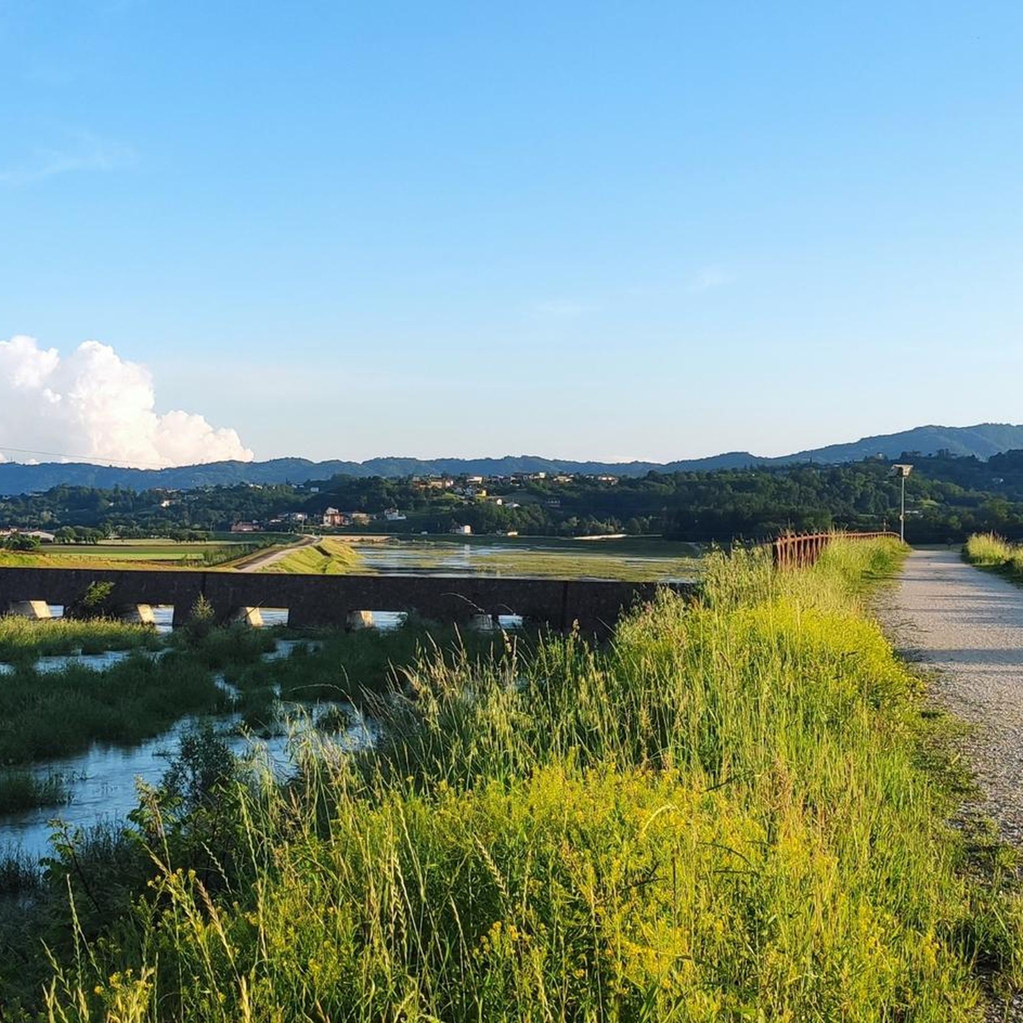
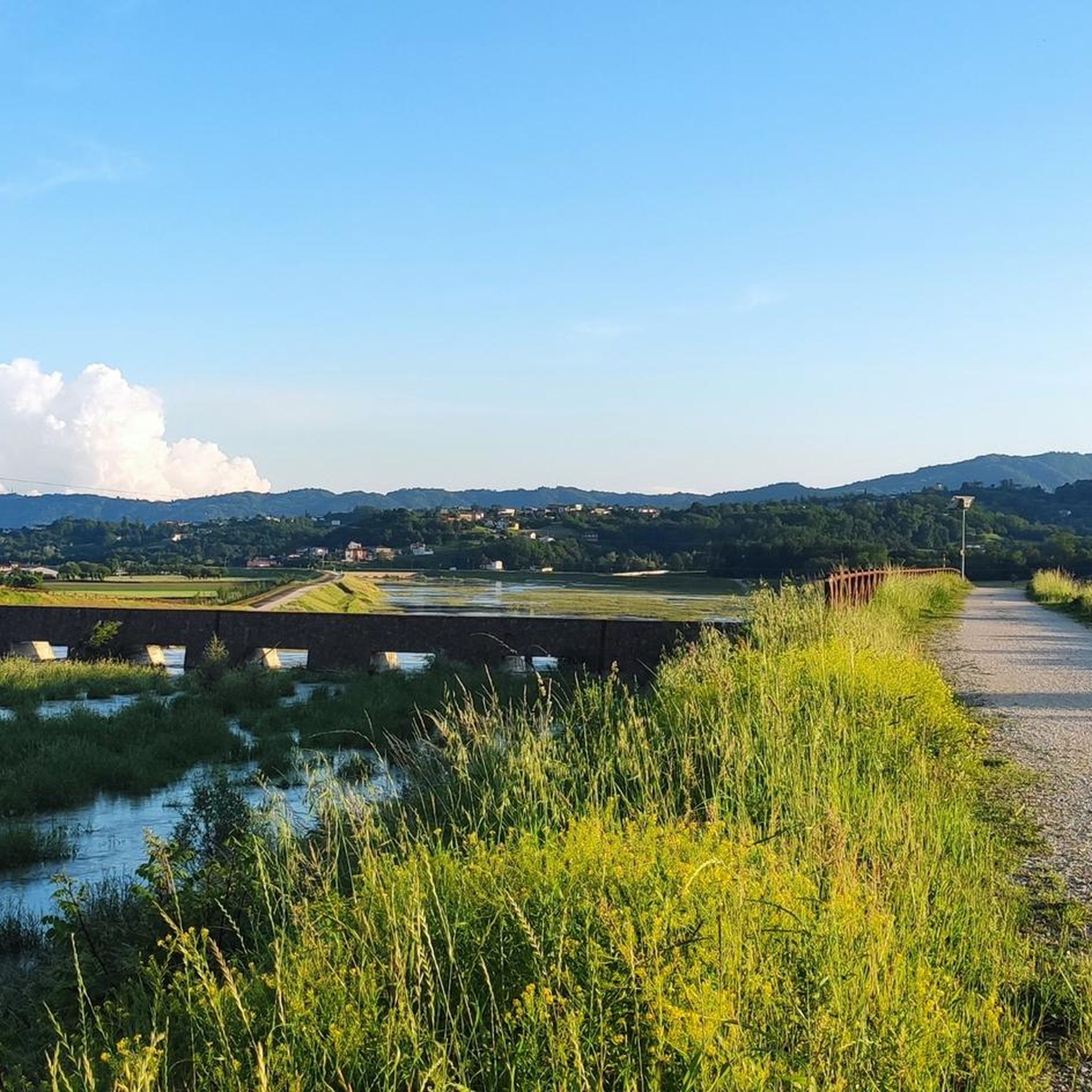
Bicycle bridge over the Gua River with a view of the dam upstream.
0
0

Right Chiampo to Arzignano
0
0
the castle of Arzignano is visible from much of the town
0
0

Rotte del Guà is a wetland located between Trissino and Arzignano. It has recently been affected by the construction works of a rolling basin. The area, which recently became a ZRC zone (Repopulation and Capture Zone), is a treasure chest of biodiversity, not only as a place of migratory passage and wintering for numerous species of birds, but also as an important nesting site for numerous species of birds.
0
0

Valley that is worth seeing, the waterfalls and the stream is something spectacular that not even photos can explain.
1
0

It is a structure that has its origins in 1200 and was originally dedicated to Mary Help of Christians
0
1
Frequently Asked Questions
How many hiking trails are available around Arzignano?
Arzignano offers a wide selection of hiking opportunities, with over 50 trails recorded on komoot. These routes traverse diverse landscapes, from green hills and volcanic valleys to areas bordering the Lessinia Natural Regional Park.
Are there easy hiking trails suitable for beginners or families in Arzignano?
Yes, Arzignano has a good selection of easy trails. Approximately 20 routes are classified as easy, making them suitable for beginners or families looking for a relaxed outdoor experience. These paths often wind through gentle hills and offer pleasant views without significant elevation changes.
What kind of landscapes can I expect to see while hiking near Arzignano?
Hiking around Arzignano will take you through varied and picturesque landscapes. You'll encounter rolling green hills, valleys of volcanic origin, and pre-alpine characteristics as you approach the Lessinia Natural Regional Park. The region's unique geology, including ancient volcanic activity and karstic formations, contributes to its distinctive scenery.
Are there any circular hiking routes in the Arzignano area?
Many of the trails around Arzignano are designed as circular routes, offering convenient starting and ending points. For example, the Rotte del Guà Weir System loop from Restena is a moderate 4.9-mile (7.9 km) trail that takes about 2 hours to complete, exploring local natural areas.
Can I find longer hiking routes for more experienced trekkers?
Yes, for those seeking longer and more challenging hikes, Arzignano offers several options. Trails like the Chiesa di San Marcello – View of Arzignano loop from Arzignano cover about 9.5 miles (15.3 km) and feature moderate difficulty with notable elevation changes, providing a more demanding experience and panoramic views of the town.
What are some interesting natural or historical attractions to see along the trails?
The region around Arzignano is rich in natural beauty and historical sites. You can explore unique geological features and cultural landmarks. For instance, nearby attractions include various caves like Le Priare di Montecchio Underground Complex, or historical sites such as the Galleries of the Great War, Lore Road. The Lessinia Natural Regional Park, close to Arzignano, also features impressive karstic formations like the Ponte di Veja and the Molina Waterfalls.
Is Arzignano a good destination for dog-friendly hikes?
Many trails in the Arzignano area are suitable for hiking with dogs, especially those that traverse the green hills and less populated natural areas. It's always recommended to keep dogs on a leash and respect local regulations, particularly when passing through agricultural land or protected natural zones like parts of the Lessinia Natural Regional Park.
What do other hikers say about the trails in Arzignano?
The hiking trails in Arzignano are highly regarded by the komoot community, with an average rating of 4.5 stars from over 290 reviews. Hikers often praise the diverse terrain, the scenic views of the volcanic valleys, and the well-maintained paths that cater to various fitness levels.
Are there any trails that offer scenic viewpoints of the area?
Absolutely. Many routes are designed to showcase the region's beauty. Trails that ascend into the hills, such as the Chiesa di San Marcello – View of Arzignano loop from Arzignano, offer excellent panoramic views of Arzignano and the surrounding green valleys. The high pastures and gentle mountains within the nearby Lessinia Natural Regional Park also provide breathtaking vistas.
What is the best time of year to go hiking in Arzignano?
The best time to hike in Arzignano is typically during spring, summer, and autumn when the weather is mild and the landscapes are vibrant. Spring brings blooming flora, while autumn offers beautiful fall colors. While some trails may be accessible in winter, it's advisable to check local conditions, especially at higher elevations or within the Lessinia Natural Regional Park, where snow might be present.
Are there any trails that lead to castles or historical sites?
Yes, some hiking routes in the Arzignano area integrate cultural and historical elements. For example, the Castello d'Arzignano – Finish FIDAS Vicenza Walk loop from Tezze passes by the local castle. Additionally, the region features several historical castles like the Bishops' Castle, which can be explored in conjunction with nearby trails.
How can I find parking for hiking trails in Arzignano?
Most popular trailheads and starting points for hikes around Arzignano, especially those originating from towns or villages like Restena or Arzignano itself, typically have designated parking areas. It's recommended to check the specific route details on komoot for information on parking availability at the trailhead you plan to use.
Most popular routes around Arzignano
Most popular attractions around Arzignano

Get inspired with the komoot mobile app


Explore more
Browse the best Hikes in other regions.
