The best walks and hikes around Montorso Vicentino
4.4
(1642)
8,917
hikers
396
hikes
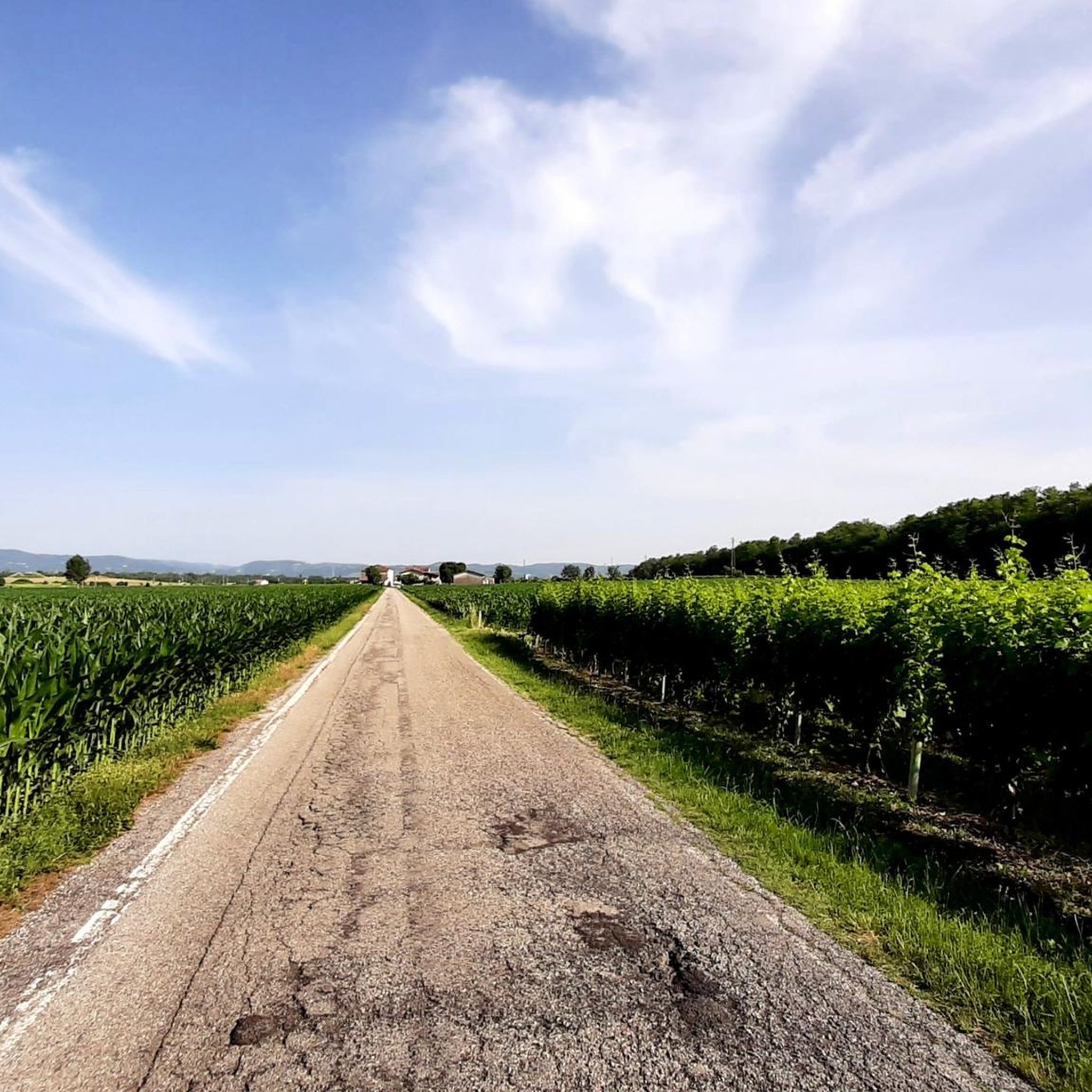
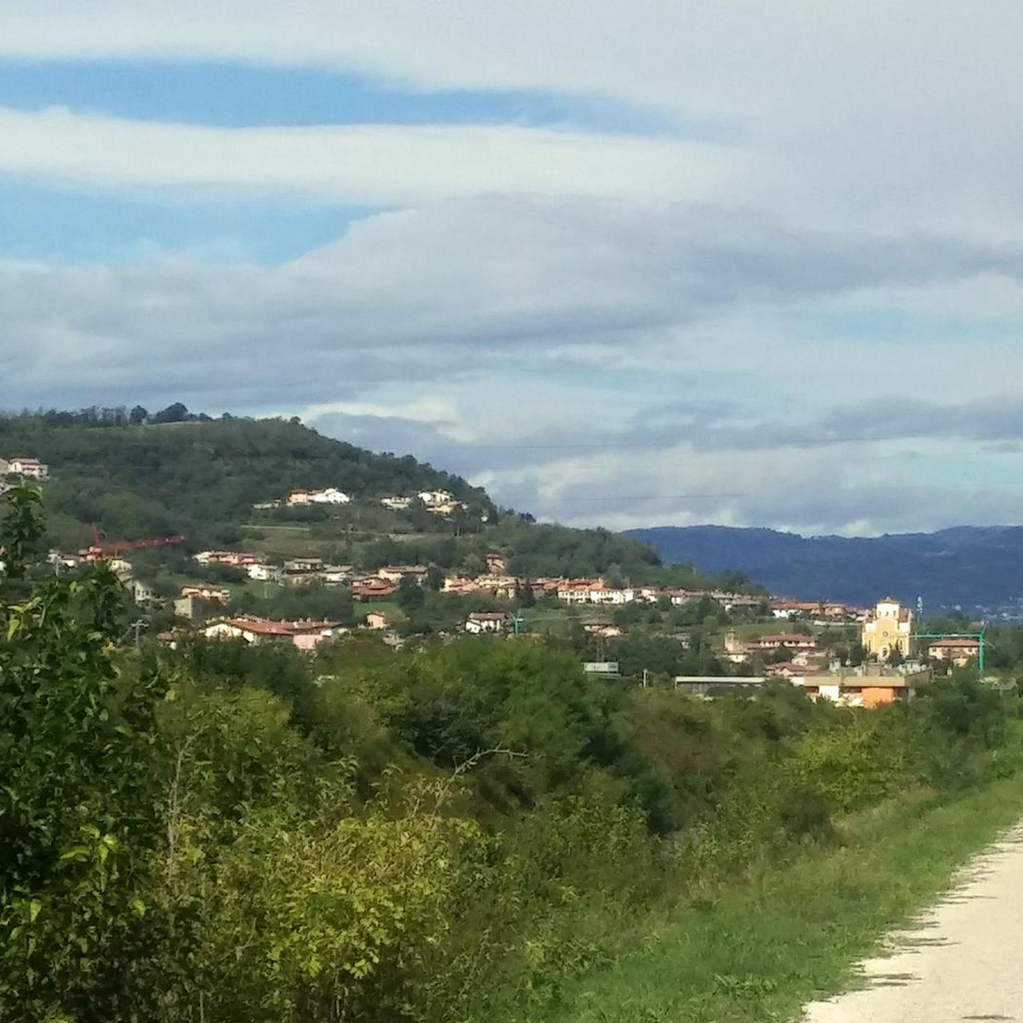
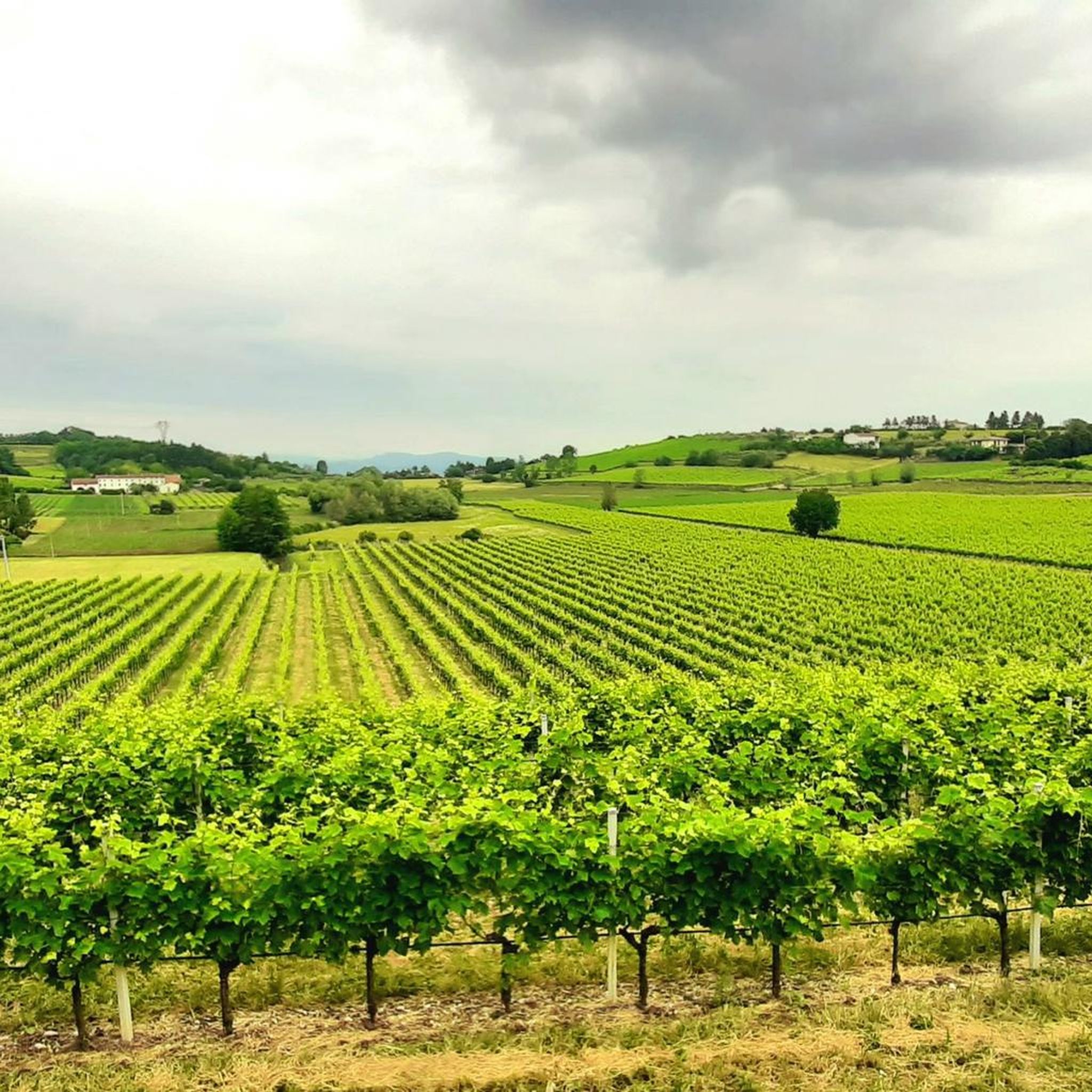
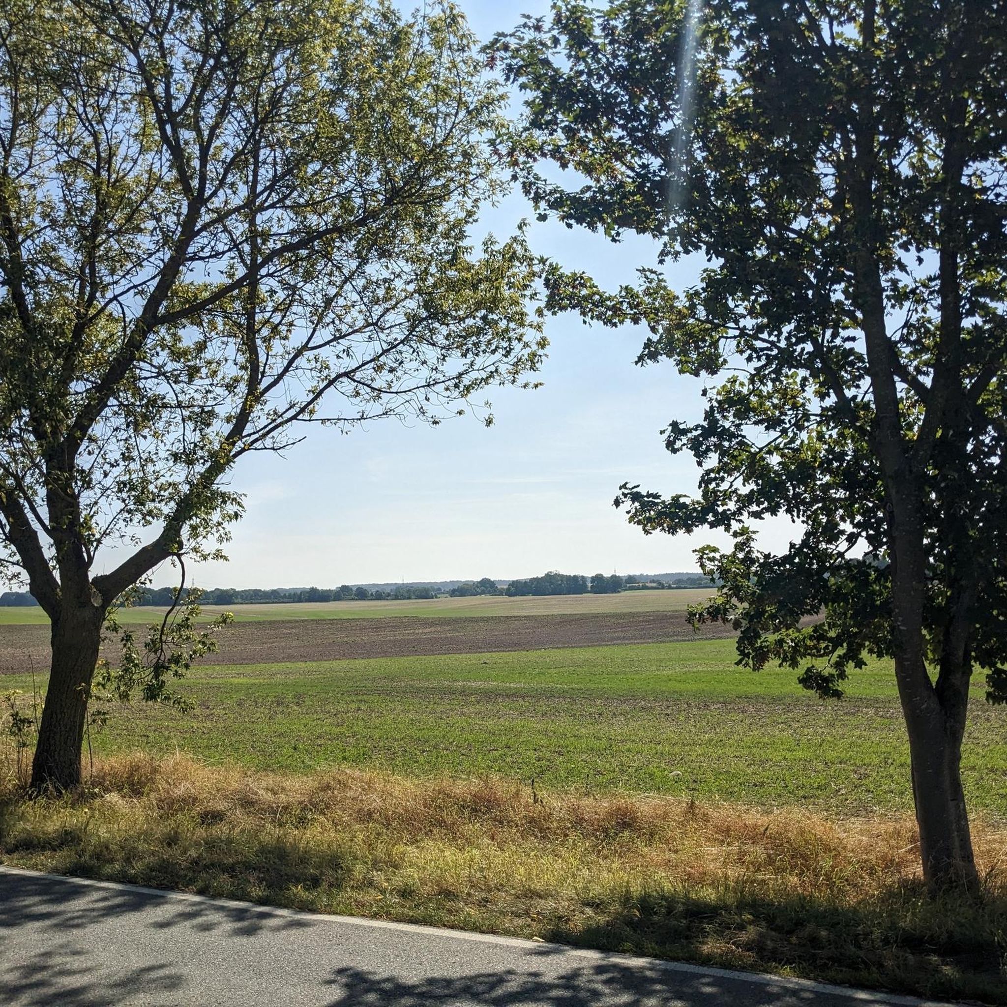
Hiking around Montorso Vicentino offers varied terrain at the eastern foothills of the Lessini Mountains, opening towards the Venetian plain. The area features gentle hills and plains, with an average elevation of 118 meters, characterized by calcareous and volcanic rocks. Hikers can explore landscapes with widespread vineyards, olive groves, and wooded sections, alongside waterways like the Chiampo River and Rodegotto stream. From higher points, expansive views of surrounding castles and the valley are accessible.
Best hiking trails around Montorso Vicentino
…Last updated: October 3, 2026
4.5
(4)
20
hikers
12.2km
03:37
360m
360m
Moderate hike. Good fitness required. Easily-accessible paths. Suitable for all skill levels.
5.0
(1)
27
hikers
5.30km
01:23
40m
40m
Easy hike. Great for any fitness level. Easily-accessible paths. Suitable for all skill levels.

4.0
(4)
13
hikers
Moderate hike. Good fitness required. Mostly accessible paths. Sure-footedness required.
3.0
(2)
5
hikers
7.78km
02:21
250m
260m
Moderate hike. Good fitness required. Mostly accessible paths. Sure-footedness required.
5.0
(2)
11
hikers
Moderate hike. Good fitness required. Easily-accessible paths. Suitable for all skill levels.
Get access to more routes and recommendations from other explorers.
Already have an account?
Our route recommendations are based on thousands of hikes, rides, and runs completed by other people on komoot.
Start today with a free account
Your next adventure awaits.
Tips from the Community

Right Chiampo to Arzignano
0
0

After the descent from the church of San Marcello for a short stretch the path may not be evident. Do not enter the vineyard, but follow the slope of the hill to the right for a few tens of meters until you reach the village of Via San Marcello.
1
0
Simple two-hour route, well signposted (apart from the last stretch immediately after the church of San Marcello). Possibility of car parking in the small square near the bridge.
1
0

It is a structure that has its origins in 1200 and was originally dedicated to Mary Help of Christians
0
1
church of the XIII XIV century
0
1
Frequently Asked Questions
How many hiking trails are available in Montorso Vicentino?
Montorso Vicentino offers a wide selection of hiking routes, with over 350 trails available. These range from easy strolls to more challenging treks, ensuring options for various fitness levels and preferences.
What kind of terrain can I expect on hikes around Montorso Vicentino?
The terrain around Montorso Vicentino is diverse, featuring the eastern foothills of the Lessini Mountains. You'll encounter gentle hills, expansive plains, and picturesque landscapes dotted with vineyards and olive groves. The geology includes calcareous and volcanic rocks, and trails often pass through wooded sections with species like Hornbeam and Chestnut, as well as along waterways such as the Chiampo River and Rodegotto stream.
Are there any easy or beginner-friendly hikes in the area?
Yes, Montorso Vicentino has plenty of options for beginners and those looking for an easier walk. There are over 120 easy routes available. These paths often wind through the scenic plains and lower hills, offering pleasant experiences without significant elevation gain.
What are some notable landmarks or points of interest I might see while hiking?
Many trails in Montorso Vicentino lead to or pass by interesting historical and natural landmarks. You can explore ancient houses and the historic Church of San Marcello, or enjoy panoramic views of surrounding castles like those in Trissino and Montecchio Maggiore. For specific historical sites, consider visiting the Soave City Walls or the Bishops' Castle, both nearby.
Are there any challenging hikes for experienced trekkers?
Absolutely. For experienced hikers seeking a challenge, Montorso Vicentino offers 20 difficult routes. One such demanding trail is the Vineyard View – View of the Valley loop from Zermeghedo, which spans 17.5 km and features significant elevation changes, providing extensive views of the surrounding valley.
Can I find circular hiking routes in Montorso Vicentino?
Yes, many of the hiking trails in Montorso Vicentino are designed as circular routes, allowing you to start and end at the same point. This is ideal for day trips and exploring different parts of the region without needing to arrange return transport. For example, the Croce di Monte Segan loop from Santa Margherita is a moderate 7.8 km circular trail.
What do other hikers enjoy most about the trails in Montorso Vicentino?
The hiking trails in Montorso Vicentino are highly regarded by the komoot community, with an average rating of 4.4 stars from over 1300 reviews. Hikers frequently praise the varied terrain, the scenic vineyards and olive groves, and the expansive panoramic views from higher points. The blend of natural beauty with historical elements also receives positive feedback.
Are the hiking trails in Montorso Vicentino suitable for families with children?
Yes, Montorso Vicentino offers many family-friendly options. With over 120 easy routes, you can find paths that are suitable for shorter walks and less strenuous activity, perfect for enjoying nature with children. Look for trails with gentle slopes and interesting features like ancient houses or scenic viewpoints.
Is public transport available to access trailheads in Montorso Vicentino?
While specific public transport connections directly to every trailhead may vary, Montorso Vicentino is generally accessible. It's advisable to check local bus schedules or regional transport options that connect to the main towns like Montorso Vicentino or Arzignano, from where many trails begin. Planning your route in advance will help determine the best access points.
What is the best time of year to go hiking in Montorso Vicentino?
Montorso Vicentino is enjoyable for hiking across multiple seasons. Spring and autumn offer pleasant temperatures and vibrant landscapes, with blooming flowers or rich fall colors. Summer can be warm, so early morning or late afternoon hikes are recommended. Even in winter, milder days can be suitable for exploring, especially on lower elevation trails.
Are there places to eat or stay near the hiking trails?
Yes, the region around Montorso Vicentino offers opportunities for rest and local experiences. You'll find local agriturismos like Agriturismo Asnicar and Agriturismo al Pozzo, which often provide both accommodation and dining options featuring local cuisine. These can be excellent stops to refuel after a hike.
What types of natural features can I expect to see on the trails?
Hikers can expect to see a rich variety of natural features. The area is characterized by widespread vineyards and olive groves, especially on the hillsides. Wooded sections feature species like Hornbeam and Chestnut, with ferns and mosses in humid valleys. The presence of the Chiampo River and Rodegotto stream also adds to the natural charm, and from higher points, you can enjoy expansive vistas of the Venetian plain and surrounding mountains.
Most popular routes around Montorso Vicentino
Most popular attractions around Montorso Vicentino

Get inspired with the komoot mobile app


Explore more
Browse the best Hikes in other regions.
