The best cycling routes around Antegnate
4.0
(308)
3,075
riders
218
rides
Touring cycling routes near Antegnate are situated within the Lombardy region, offering access to the flat terrain of the *Pianura Bergamasca*. This area is characterized by extensive agricultural fields, a network of irrigation canals, and riverine environments. The Oglio River Greenway, a significant cycling route, traverses the region, providing paths along the river and through protected natural reserves. The landscape features gentle gradients, making it suitable for touring cyclists.
Best touring cycling routes around Antegnate
- The most popular touring cycling route is BreBeMi Bridge – Route to Bosco delle Soe loop from Barbata, an 19.0 miles (30.5 km) trail that takes 2 hours 13 minutes to complete. This moderate route explores a wooded area and offers a circular journey.
- Another top favourite among local touring cyclists is Watermill – Murals of Covo loop from Covo, an easy 12.8 miles (20.6 km) path. This route features a watermill and local murals, providing a cultural and scenic experience.
- Local touring cyclists also love the Weir at Ponte di Sergnano – Serio Riverside Path loop from Covo, an 17.9 miles (28.8 km) trail leading through riverine environments, often completed in about 2 hours.
- Touring cycling around Antegnate is defined by the Oglio River Greenway, the flat *Pianura Bergamasca*, and cultivated fields. The network offers options for different ability levels, from easy riverside paths to moderate loops.
- The routes in Antegnate are highly rated by the komoot community with an average score of 4.0 stars from more than 250 reviews. More than 2,700 touring cyclists have used komoot to explore Antegnate's varied terrain.
Last updated: July 11, 2026
4.2
(12)
97
riders
Moderate bike ride. Good fitness required. Mostly paved surfaces. Suitable for all skill levels.
5.0
(2)
25
riders
35.2km
02:00
50m
50m
Moderate bike ride. Good fitness required. Mostly paved surfaces. Suitable for all skill levels.

Sign up for free
5.0
(1)
21
riders
22.9km
01:38
50m
50m
Easy bike ride. Great for any fitness level. Mostly paved surfaces. Suitable for all skill levels.
21
riders
Moderate bike ride. Good fitness required. Mostly paved surfaces. Suitable for all skill levels.
13
riders
25.0km
01:25
40m
40m
Easy bike ride. Great for any fitness level. Mostly paved surfaces. Suitable for all skill levels.
Get access to more routes and recommendations from other explorers.
Sign up for free
Already have an account?
Our route recommendations are based on thousands of hikes, rides, and runs completed by other people on komoot.
Start today with a free account
Your next adventure awaits.
Login or Signup

Tips from the Community

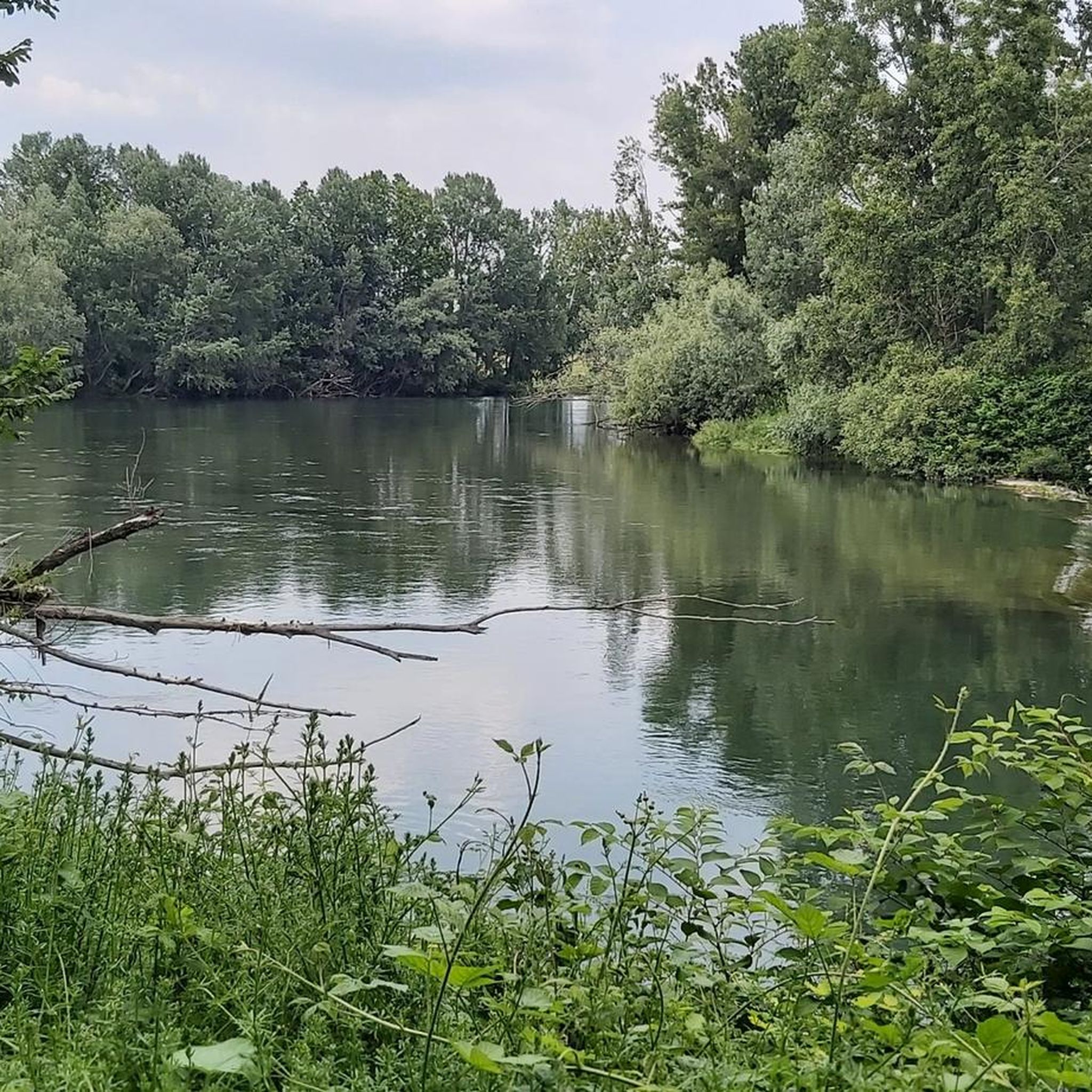
nice place to ride with a gravel bike, relaxing with many spots worth a stop.
0
0


Fara Olivana con Sola is a small village in the Bergamo plain, of Lombard origin, characterized by a rural setting surrounded by cultivated fields and waterways. Among the main points of interest are the Church of Santo Stefano, one of the oldest in the area, and the archaeological site with a Lombard necropolis discovered during recent excavations. A visit allows you to discover the village's ancient history and appreciate the tranquil atmosphere rooted in its agricultural roots.
0
0
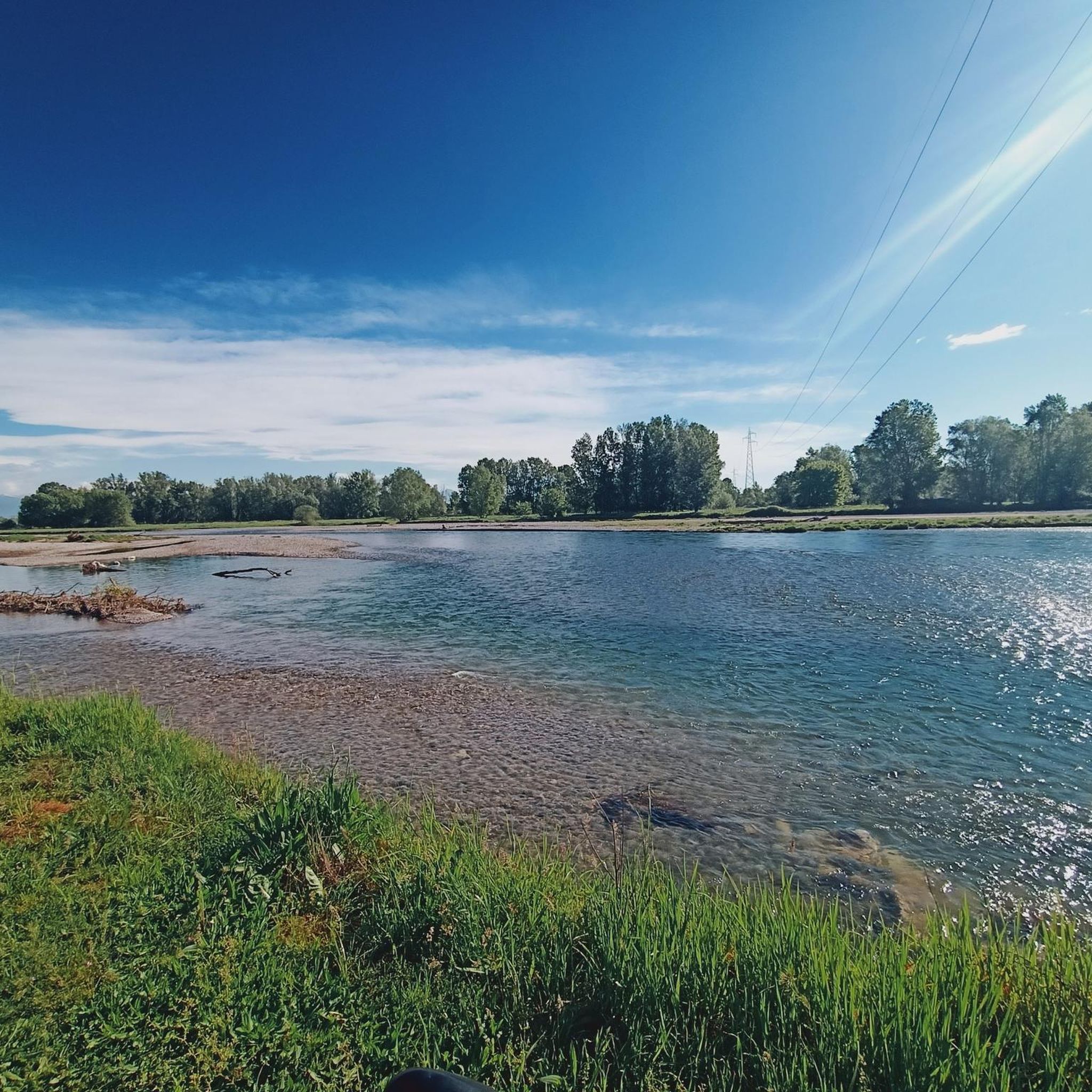
nice flowing stretch, typically gravel, with wonderful views
1
0

the Serio from the bridge between Bariano and Romano
0
0
The well-maintained and embanked left bank of the Serio River near Romano di Lombardia offers pleasant views of the river and its biodiversity.
0
0

beautiful play of light and shadow
0
0
area rich in springs and irrigation canals
0
0
Frequently Asked Questions
How many touring cycling routes are available around Antegnate?
There are over 200 touring cycling routes available around Antegnate, offering a wide variety of options for different skill levels and preferences. The komoot community has explored more than 2,700 tours in the area.
What kind of terrain can I expect on touring cycling routes near Antegnate?
The touring cycling routes near Antegnate are primarily located within the flat *Pianura Bergamasca* (Bergamo Plain). You can expect gentle gradients, extensive agricultural fields, a network of irrigation canals, and riverine environments, particularly along the Oglio and Serio rivers. Many routes utilize low-traffic asphalt roads and well-maintained dirt paths.
Are there touring cycling routes suitable for beginners or families in Antegnate?
Yes, Antegnate offers many easy touring cycling routes perfect for beginners and families. Over half of the routes (119 out of 216) are rated as easy. An example is the Watermill – Murals of Covo loop from Covo, which is 12.8 miles (20.6 km) long and features cultural sights.
Are there any longer touring cycling routes for experienced riders?
While the region is generally flat, there are longer routes available. For instance, the Fara Olivana – Church of Saint Mary of the Assumption loop from Barbata is a moderate 20.2 miles (32.5 km) route. For very long distances, you can connect to segments of the Oglio River Greenway, which stretches for approximately 280 kilometers.
What can I see along the touring cycling routes near Antegnate?
Cycling routes in the area often pass by historical and natural attractions. You might encounter ancient farmsteads, charming villages, and natural reserves. Notable sights include the Chapel of Our Lady of Carpeneto, the Palata Menasciutto Reserve, and the Wooden Bridge over the Spring at Parco del Serio.
Are there any castles or historical landmarks along the cycling paths?
Yes, the *Pianura Bergamasca* is rich in historical sites. You can cycle past well-preserved castles like Castello di Pagazzano, the Visconti Fortress of Romano di Lombardia, and Barbò Castle. Many routes also showcase ancient villages and examples of industrial archaeology.
Are there any circular touring cycling routes around Antegnate?
Yes, many touring cycling routes around Antegnate are designed as loops, offering convenient starting and ending points. For example, the BreBeMi Bridge – Route to Bosco delle Soe loop from Barbata is a popular circular route that explores a wooded area.
Can I find routes that feature waterfalls or significant water features?
While large waterfalls are not typical of the flat *Pianura Bergamasca*, you can find routes that highlight water features like weirs and small cascades. The Barbò Castle – Small Waterfall loop from Fontanella is an easy route that includes a small waterfall, and the Weir at Ponte di Sergnano – Serio Riverside Path loop from Covo follows riverine environments.
What do other touring cyclists enjoy the most about touring cycling in Antegnate?
The area is highly rated by the komoot community, with an average score of 4.0 stars from over 260 reviews. Reviewers often praise the tranquil, flat terrain ideal for relaxed touring, the scenic river paths, and the opportunity to discover historical sites and rural landscapes away from heavy traffic.
Are the touring cycling routes in Antegnate suitable for gravel bikes?
Many routes in the *Pianura Bergamasca* utilize a mix of low-traffic asphalt roads and well-maintained dirt paths, making them suitable for gravel bikes. The riverine paths, in particular, often offer unpaved sections that are enjoyable on a gravel bike.
Is it easy to find parking at trailheads near Antegnate?
Given Antegnate's location in a rural area, parking is generally available in or near the starting points of many routes, especially in smaller towns and villages. It's advisable to check specific route details on komoot for parking recommendations at individual trailheads.
Are there options for public transport to access cycling routes around Antegnate?
Antegnate is located in the Province of Bergamo, which has a regional public transport network. While direct public transport to every trailhead might be limited, you can often reach larger towns near cycling routes by bus or regional train. Check local transport schedules for the most up-to-date information on connections.
Most popular routes around Antegnate
Most popular attractions around Antegnate

Get inspired with the komoot mobile app


Explore more
Browse the best Cycling routes in other regions.
