The best road cycling routes around Sanguinetto
4.2
(101)
3,357
riders
50
rides
Road cycling routes around Sanguinetto traverse a landscape characterized by the flat plains of the Adige and Po river valleys, offering extensive stretches of level terrain. The region also features gentle rolling hills, such as those around Monte di Colognola and Castagnè, providing varied elevation profiles. These routes often pass through agricultural areas and rural villages, connecting river embankments with slightly elevated viewpoints.
Best road cycling routes around Sanguinetto
- The most popular road cycling route is Sunrise over the Adige…
Last updated: July 5, 2026
5.0
(2)
27
riders
60.9km
02:25
80m
80m
Moderate road ride. Good fitness required. Mostly well-paved surfaces and easy to ride.
25
riders
Moderate road ride. Good fitness required. Some segments of this route may be unpaved and difficult to ride.

Sign up for free
18
riders
44.1km
01:50
60m
60m
Easy road ride. Great for any fitness level. Mostly well-paved surfaces and easy to ride.
20
riders
136km
06:02
1,250m
1,250m
Hard road ride. Very good fitness required. Some segments of this route may be unpaved and difficult to ride.
17
riders
Easy road ride. Great for any fitness level. Mostly well-paved surfaces and easy to ride.
Get access to more routes and recommendations from other explorers.
Sign up for free
Already have an account?
Our route recommendations are based on thousands of hikes, rides, and runs completed by other people on komoot.
Start today with a free account
Your next adventure awaits.
Login or Signup


Tips from the Community

Beautiful country with various hiking and MTB possibilities. In the area, various huts and restaurants where you can eat very well.
0
0

at times there are barriers that can still be passed without getting off the bike. However, be careful not to get distracted by chatting, as you can get hurt 🤣
0
0
On July 18, 1848, during one of the wars of independence, a clash took place here in Governolo between Piedmontese troops, including bersaglieri, and an Austrian army rearguard. The Austrians had the worst of it, also because they were in clear numerical inferiority. When you visit Governolo, it is very interesting to follow the path prepared by the municipality with explanatory panels placed in various locations (I must say that sometimes they are not even very visible and therefore you have to go on a bit of a treasure hunt, but it's fun) that guide you step by step through the events of that day; in reality, they also tell of a clash that took place on April 24, also in 1848. Let's say that 1848, that period, was not exactly peaceful.
0
0

View from the cycle path on the Po
0
0
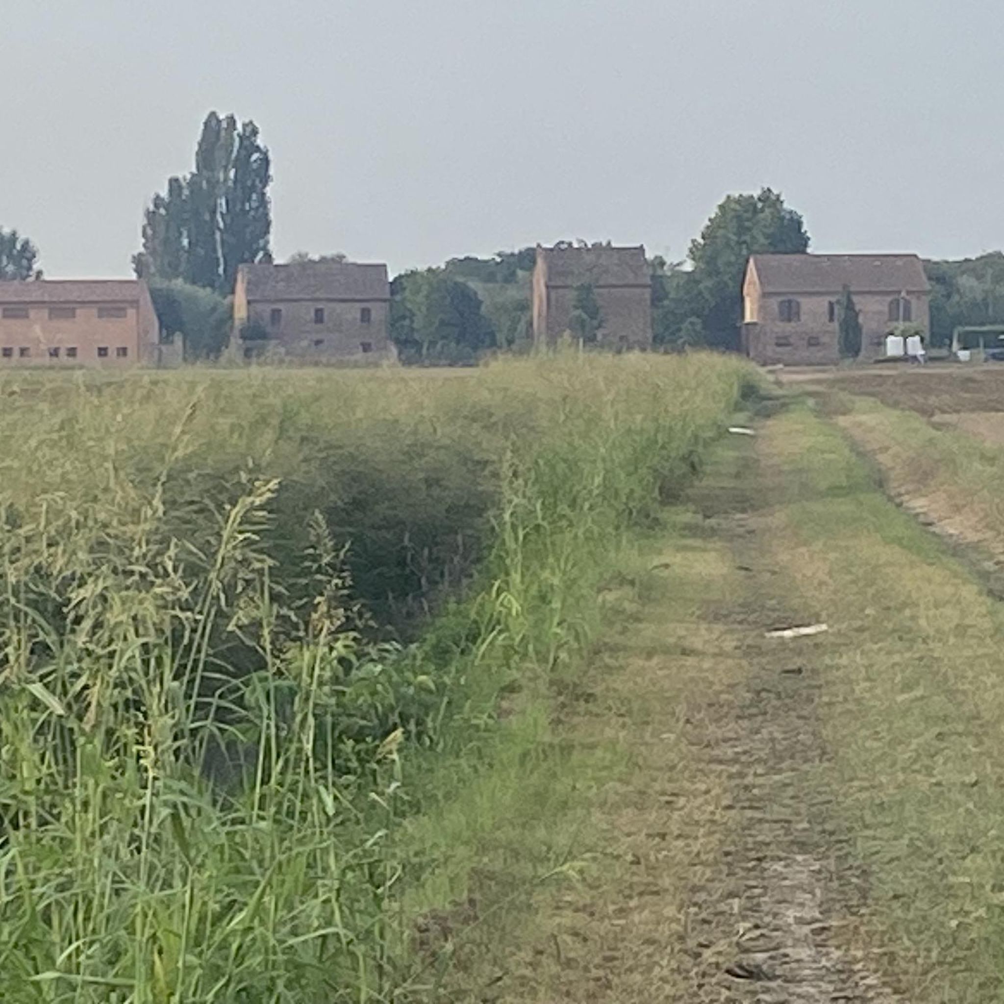
I had never seen a nutria farm before.
0
0

Frequently Asked Questions
How many road cycling routes are available around Sanguinetto?
There are over 40 road cycling routes around Sanguinetto recorded on komoot, offering a wide range of options for different skill levels.
Are there easy road cycling routes suitable for beginners in Sanguinetto?
Yes, Sanguinetto offers several easy road cycling routes. Out of the 41 available routes, 14 are classified as easy, making them ideal for beginners or those looking for a relaxed ride. These routes typically feature the flat plains of the Adige and Po river valleys.
What kind of terrain can I expect on road cycling routes around Sanguinetto?
The terrain around Sanguinetto is primarily characterized by the flat plains of the Adige and Po river valleys, offering extensive level stretches. You will also find gentle rolling hills, particularly around areas like Monte di Colognola and Castagnè, providing varied elevation profiles and moderate climbs.
Are there any challenging road cycling routes with significant climbs near Sanguinetto?
While the region is largely flat, there are routes that include more significant climbs. For instance, the Strada della Pissarota – Velo Veronese loop from Sanguinetto is classified as difficult, featuring over 1200 meters of elevation gain, offering a substantial challenge for experienced cyclists.
What are some scenic highlights or attractions I can see along the road cycling routes?
Many routes pass through agricultural areas and rural villages. You can explore natural areas like the Ostiglia Marshes and Busatello Oasis or the Paludi di Ostiglia Nature Reserve. Some routes also offer views of the Adige River or follow the Po River Embankment, providing picturesque scenery.
Are there circular road cycling routes available in Sanguinetto?
Yes, many of the road cycling routes around Sanguinetto are designed as loops, allowing you to start and finish in the same location. Examples include the Sunrise over the Adige River – Soave City Walls loop from Sanguinetto, which offers a varied experience.
What is the best time of year for road cycling in Sanguinetto?
The best time for road cycling in Sanguinetto is typically during spring (April-May) and autumn (September-October) when temperatures are mild and comfortable. Summer can be quite hot, especially in the flat plains, while winter can be cold and foggy.
What do other road cyclists enjoy most about road cycling in Sanguinetto?
The komoot community highly rates the road cycling routes in Sanguinetto, with an average score of 5.0 stars. Cyclists often praise the mix of flat river plains and gentle rolling hills, which cater to various ability levels, and the peaceful agricultural landscapes.
How long do road cycling routes around Sanguinetto typically take to complete?
Route durations vary significantly based on distance and elevation. For example, a moderate route like the Matilda Tower of Governolo – Po Embankment loop from Sanguinetto, covering about 61 km, takes around 2 hours and 25 minutes. Longer routes, such as the Pian di Castagnè – Castagnè – View of Postuman and Mezzane loop from Sanguinetto (104 km), can take over 4 hours.
Are there any routes that offer views of historical sites or notable landmarks?
Yes, some routes provide opportunities to see historical or cultural points of interest. For instance, the Sunrise over the Adige River – Soave City Walls loop from Sanguinetto passes near the historic town of Soave, known for its medieval castle and walls.
Is public transport available to access road cycling trails in Sanguinetto?
While specific public transport connections directly to trailheads are not detailed, Sanguinetto is a small town in the province of Verona. Regional bus services connect it to larger towns, which may offer connections suitable for reaching the general area, though direct access with a bike might require checking local transport schedules and policies.
Most popular routes around Sanguinetto
Most popular attractions around Sanguinetto

Get inspired with the komoot mobile app


Explore more
Browse the best Road cycling routes in other regions.
