The best walks and hikes around Rio Saliceto
4.1
(139)
835
hikers
148
hikes
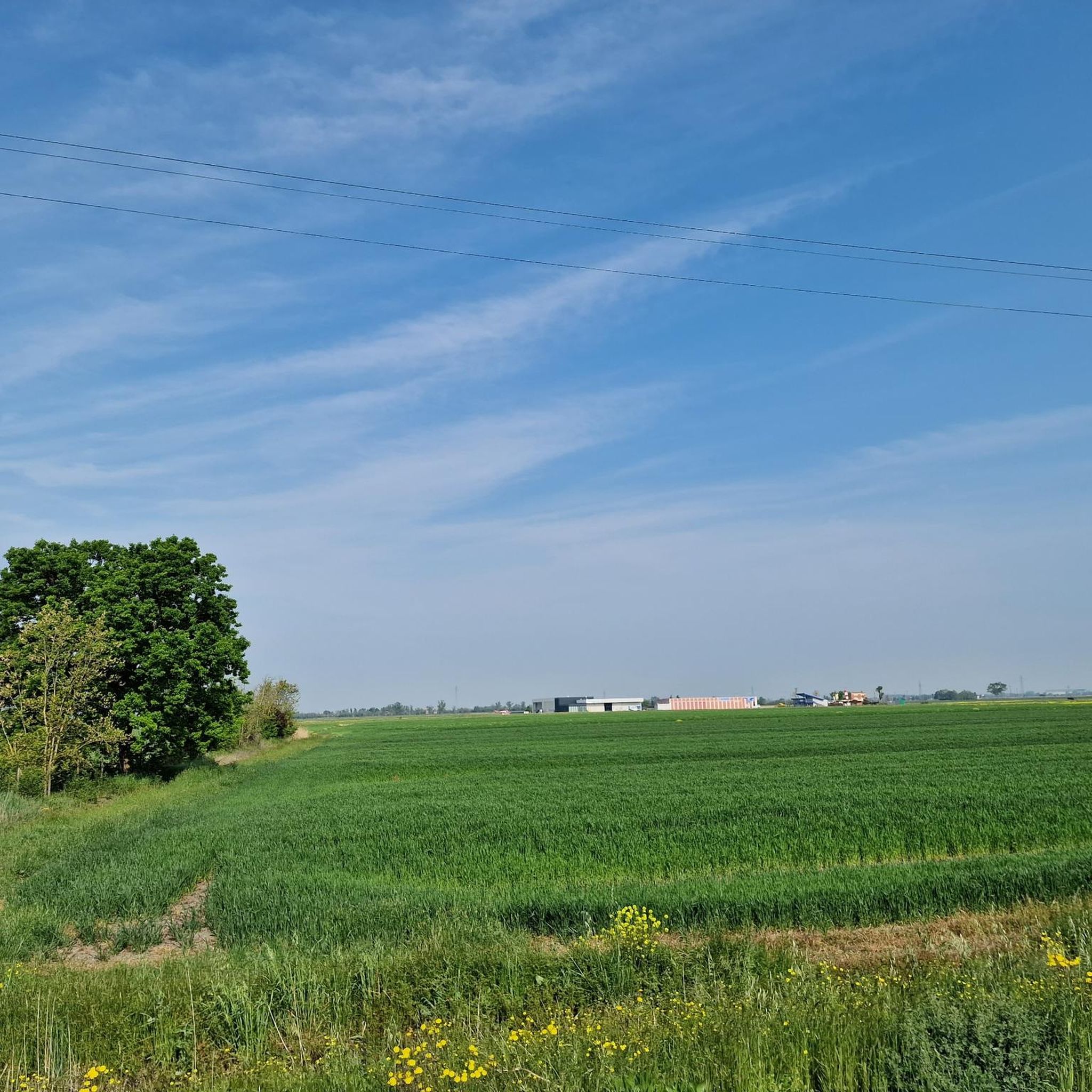
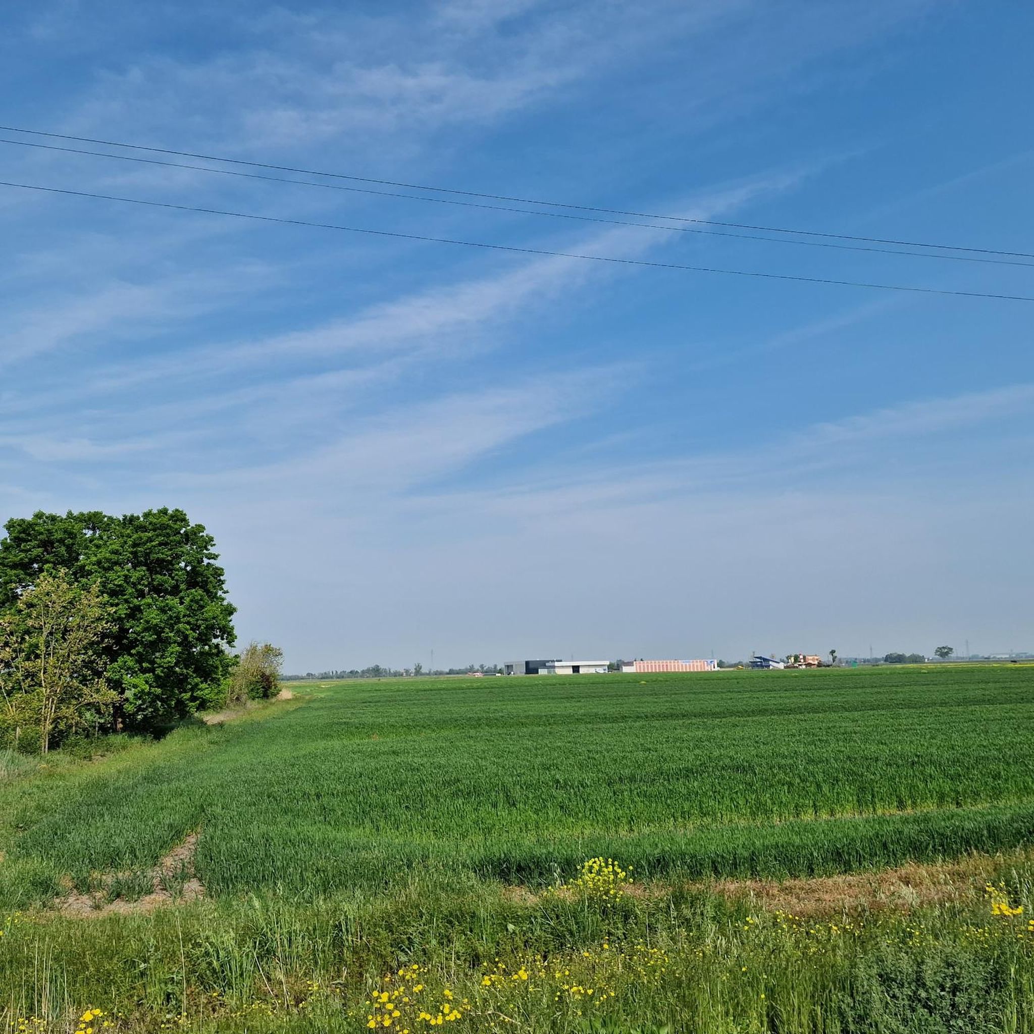
Hiking around Rio Saliceto offers exploration of the flatlands within the Emilia-Romagna region of Italy. The area is characterized by tranquil rural settings, agricultural scenery, and a network of canals and fields. While largely flat, the Collina degli Aironi provides a notable local elevation and panoramic views of the surrounding lowlands. These routes traverse a blend of natural and cultivated landscapes.
Best hiking trails around Rio Saliceto
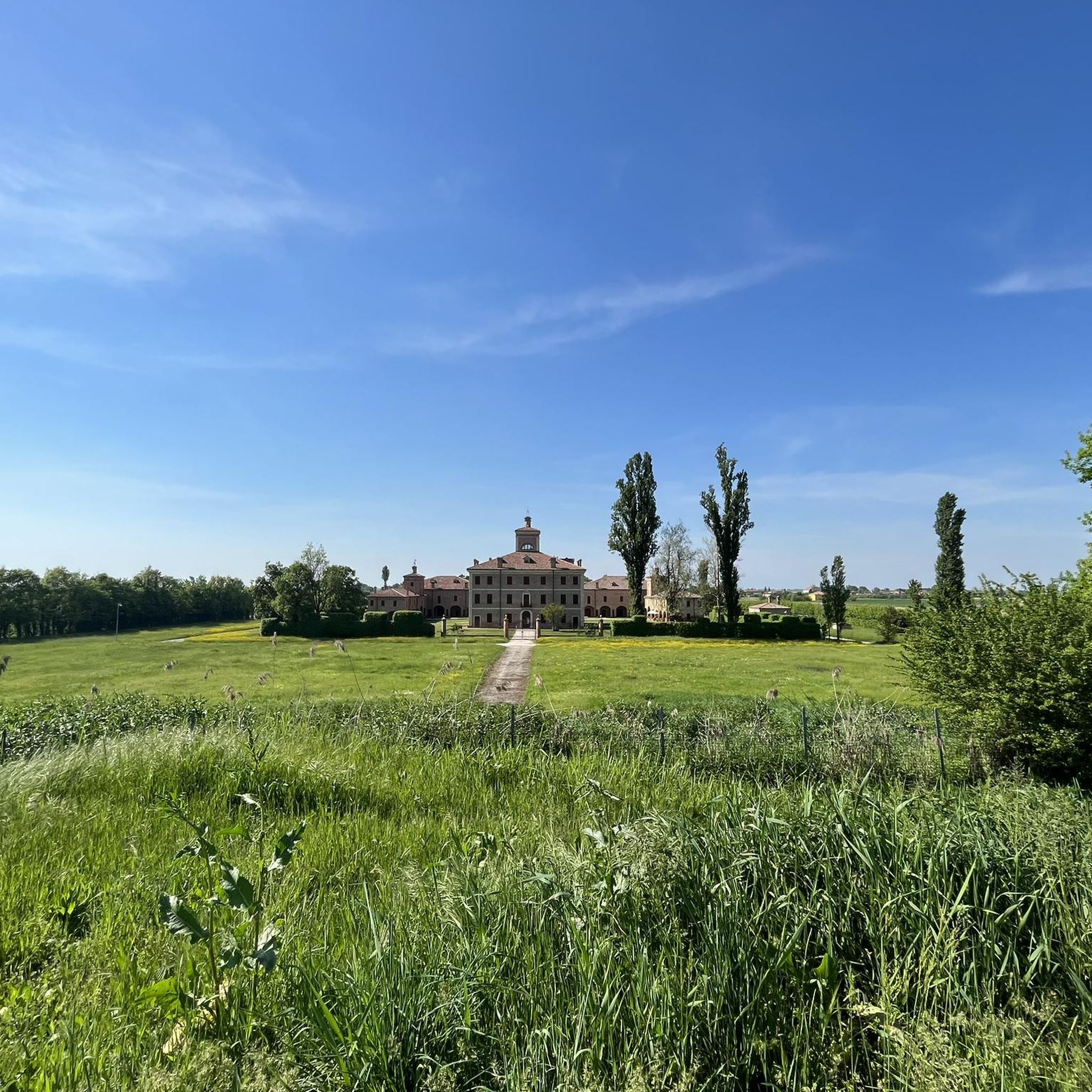
- The most popular hiking route is Castello Guidotti – Argo Tractors Headquarters loop…
Last updated: August 25, 2026
15
hikers
7.77km
01:58
10m
10m
Easy hike. Great for any fitness level. Easily-accessible paths. Suitable for all skill levels.
11
hikers
Moderate hike. Good fitness required. Easily-accessible paths. Suitable for all skill levels.

Sign up for free
4
hikers
5.01km
01:16
10m
10m
Easy hike. Great for any fitness level. Easily-accessible paths. Suitable for all skill levels.
5.0
(1)
5
hikers
10.5km
02:38
10m
10m
Moderate hike. Good fitness required. Easily-accessible paths. Suitable for all skill levels.
5.0
(1)
5
hikers
4.39km
01:06
10m
10m
Easy hike. Great for any fitness level. Easily-accessible paths. Suitable for all skill levels.
Get access to more routes and recommendations from other explorers.
Sign up for free
Already have an account?
Our route recommendations are based on thousands of hikes, rides, and runs completed by other people on komoot.
Start today with a free account
Your next adventure awaits.
Login or Signup
Tips from the Community

At the teatro is the Palazzo 👍
0
0

beginning of the historical center of Correggio
11
0

Ponds located South expansion zone near the swimming pools
1
1
the beautiful little square of Correggio
16
0
a nice lake with a clabile track next to it.
12
0

Point reachable both with MTB and with GRAVEL from the nearby cycle paths (dirt roads) but also with BDC directly from the road. Excellent point for a stop given the large amount of green present.
1
1

oasis of peace on the outskirts of Correggio. Green space with a beautiful pond, not suitable for bathing. Crossed by several paths that connect the town center with the hamlets to the south
3
0

Guidotti Castle https://www.startemilia.it/item/castello-guidotti-2/ https://turismo.comune.re.it/it/fabbrico/scopri-il-territorio/art-e-cultura/castelli-torri-campanili/castello-guidotti#null Church of San Francesco http://www.chieseitaliane.chiesacattolica.it/chieseitaliane/AccessoEsterno.do?mode=guest&type=auto&code=9318&Chiesa_di_San_Francesco__Fabbrico Church of Santa Maria Assunta https://turismo.comune.re.it/it/fabbrico/scopri-il-territorio/arte-e-cultura/chiese-pievi-battisteri/parrocchiale-santa-maria-assunta https://it.wikipedia.org/wiki/Chiesa_di_Santa_Maria_Assunta_(Fabbrico) Oratory of San Genesio https://turismo.comune.re.it/it/fabbrico/scopri-il-territorio/arte-e-cultura/cappelle-oratori-tabernacoli/oratorio-di-san-genesio https://www.wikidata.org/wiki/Q66314466
1
0
Frequently Asked Questions
How many hiking trails are available around Rio Saliceto?
There are over 140 hiking routes available around Rio Saliceto, offering a wide range of options for exploring the flatlands of Emilia-Romagna. These include both easy and moderate trails.
What kind of terrain can I expect on hikes in Rio Saliceto?
Hiking in Rio Saliceto primarily involves traversing tranquil rural settings and agricultural landscapes. You'll find routes weaving through canals, rice fields, and peaceful villages. While largely flat, the area does feature the unique Collina degli Aironi, which provides a notable local elevation.
Are there any viewpoints or elevated areas for scenic views?
Yes, the most prominent elevated area is the Collina degli Aironi (Herons' Hill). This protected hill offers panoramic views of the surrounding lowlands, known as the 'Bassa,' and on clear days, you might even catch a glimpse of the Apennine mountain range. You can find more details about this feature on its highlight page: Herons' Hill.
Are there family-friendly hiking options in Rio Saliceto?
Many of the trails around Rio Saliceto are suitable for families, with 80 routes classified as easy. These routes often follow gentle paths through the countryside, making them accessible for various ages and fitness levels. An example of an easy route is the Field in Rolo loop from Rolo.
Can I bring my dog on the hiking trails?
Generally, dogs are welcome on many of the rural trails around Rio Saliceto. However, it's always advisable to keep your dog on a leash, especially when passing through agricultural areas or near livestock, and to check for any specific local regulations or signage on individual routes.
Are there circular hiking routes available?
Yes, many of the hiking routes in Rio Saliceto are circular, allowing you to start and end at the same point. An example is the Coccapana, Rolo loop from Rolo, which offers a moderate 10.5 km experience.
What interesting natural features or landmarks can I explore while hiking?
Beyond the rural landscapes, you can explore several interesting features. The area includes various lakes, such as Lago di Correggio and Budrio Oasis. Historical landmarks like Castello Guidotti are also accessible along some routes, offering a blend of nature and history.
What do other hikers say about the trails in Rio Saliceto?
The trails in Rio Saliceto are highly regarded by the komoot community, holding an average rating of 4.2 stars from over 100 reviews. Hikers often praise the peaceful rural settings, the accessibility of the routes, and the unique elevated perspective offered by the Collina degli Aironi.
Are there any lakes or water features to see on the trails?
Yes, the region features several lakes and canals that are part of the hiking experience. Notable lakes include Lago di Correggio and the Lake of Flowers. Many routes also follow canals, offering serene waterside walks through the agricultural landscape.
How can I get to the hiking trails using public transport?
While many trails are accessible by car, public transport options to specific trailheads in rural areas can be limited. It's recommended to check local bus schedules for routes connecting to towns like Fabbrico or Correggio, which serve as starting points for trails such as the Lago di Correggio – Garibaldi Square loop.
Are there any historical sites or cultural points of interest along the routes?
Yes, you can encounter historical and cultural points of interest. For instance, the Castello Guidotti is a notable landmark that some routes pass by. Additionally, the Fossoli Concentration Camp Memorial is a significant historical site in the broader area, offering a poignant experience.
What is the best time of year to hike in Rio Saliceto?
The best time to hike in Rio Saliceto is typically during spring and autumn when the weather is mild and pleasant. These seasons offer comfortable temperatures for walking through the open countryside and agricultural fields. Summer can be hot, while winter might bring colder, foggier conditions.
Most popular attractions around Rio Saliceto

Get inspired with the komoot mobile app


Explore more
Browse the best Hikes in other regions.
