The best walks and hikes around Salsomaggiore Terme
4.4
(213)
868
hikers
84
hikes
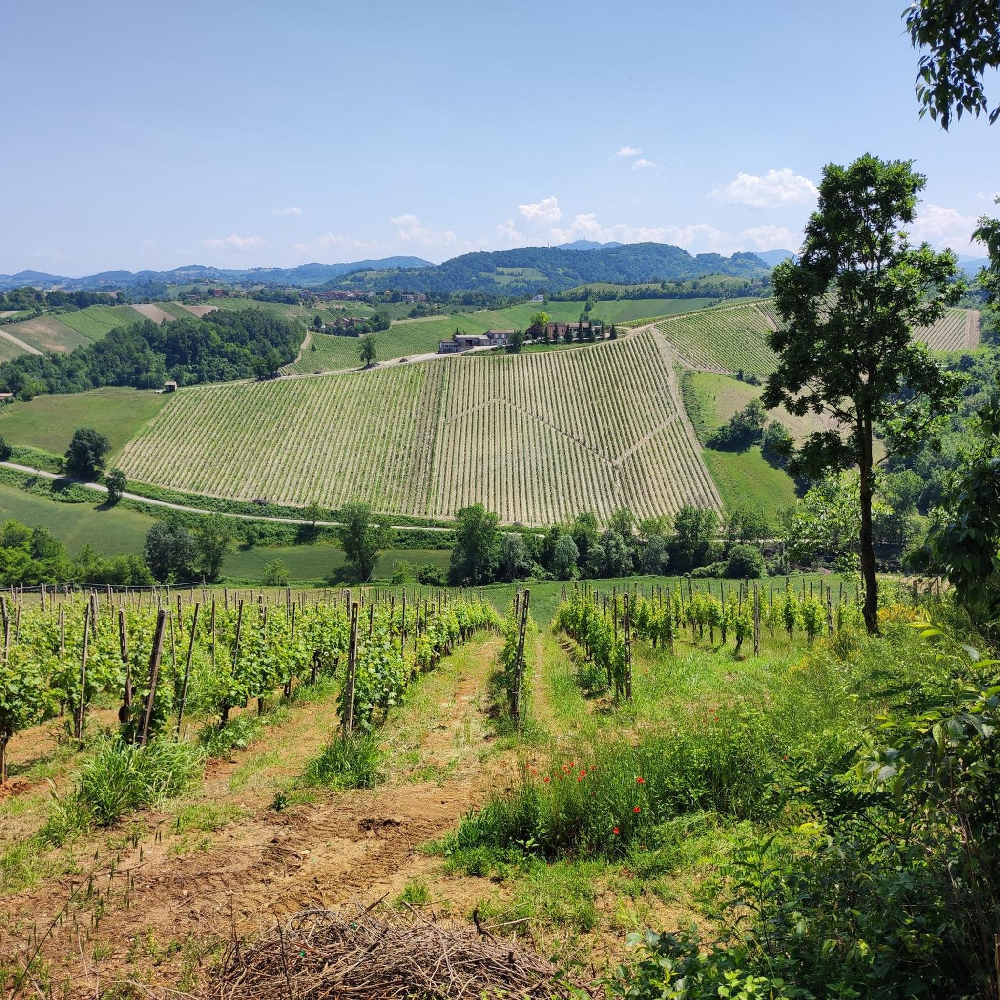
Hiking around Salsomaggiore Terme offers diverse landscapes, from rolling green hills to varied terrain within the Po Valley. The region features a network of trails suitable for different fitness levels, encompassing natural parks and historical sites. Hikers can explore areas of paleontological importance, tranquil botanical gardens, and routes connected to the area's historical salt production.
Best hiking trails around Salsomaggiore Terme
- The most popular hiking route is Salt and Earth of Salsomaggiore Trail, a 9.5 miles (15.3 km) trail that takes 4 hours 15 minutes to complete. This moderate route allows for immersion in the local environment and its historical connection to salt.
- Another top favourite among local hikers is Salsomaggiore Thermal Baths – View Over the Piacenza Hills loop from Castello di Contignaco, a moderate 5.2 miles (8.3 km) path. This loop offers views over the Piacenza Hills and passes by historical castles.
- Local hikers also love the Parco Mazzini – Road to Salsominore loop from Salsomaggiore Terme, an 8.6 miles (13.9 km) trail leading through urban parks and scenic countryside, often completed in about 3 hours 51 minutes.
- Hiking around Salsomaggiore Terme is defined by rolling green hills, varied terrain, and historical landmarks. The network offers options for different ability levels, from easy strolls to more challenging routes.
- The routes in Salsomaggiore Terme are highly rated by the komoot community with an average score of 4.5 stars from more than 200 reviews. More than 800 hikers have used komoot to explore Salsomaggiore Terme's varied terrain.
Last updated: June 23, 2026
4.5
(11)
22
hikers
15.3km
04:15
270m
270m
Moderate hike. Good fitness required. Mostly accessible paths. Sure-footedness required.
4.4
(27)
123
hikers
Moderate hike. Good fitness required. Easily-accessible paths. Suitable for all skill levels.

Sign up for free
4.6
(5)
12
hikers
6.61km
01:53
150m
150m
Easy hike. Great for any fitness level. Easily-accessible paths. Suitable for all skill levels.
4.5
(4)
12
hikers
4.92km
01:31
180m
180m
Easy hike. Great for any fitness level. Easily-accessible paths. Suitable for all skill levels.
4.6
(7)
21
hikers
16.3km
05:05
590m
590m
Hard hike. Very good fitness required. Easily-accessible paths. Suitable for all skill levels.
Get access to more routes and recommendations from other explorers.
Sign up for free
Already have an account?
Our route recommendations are based on thousands of hikes, rides, and runs completed by other people on komoot.
Start today with a free account
Your next adventure awaits.
Login or Signup
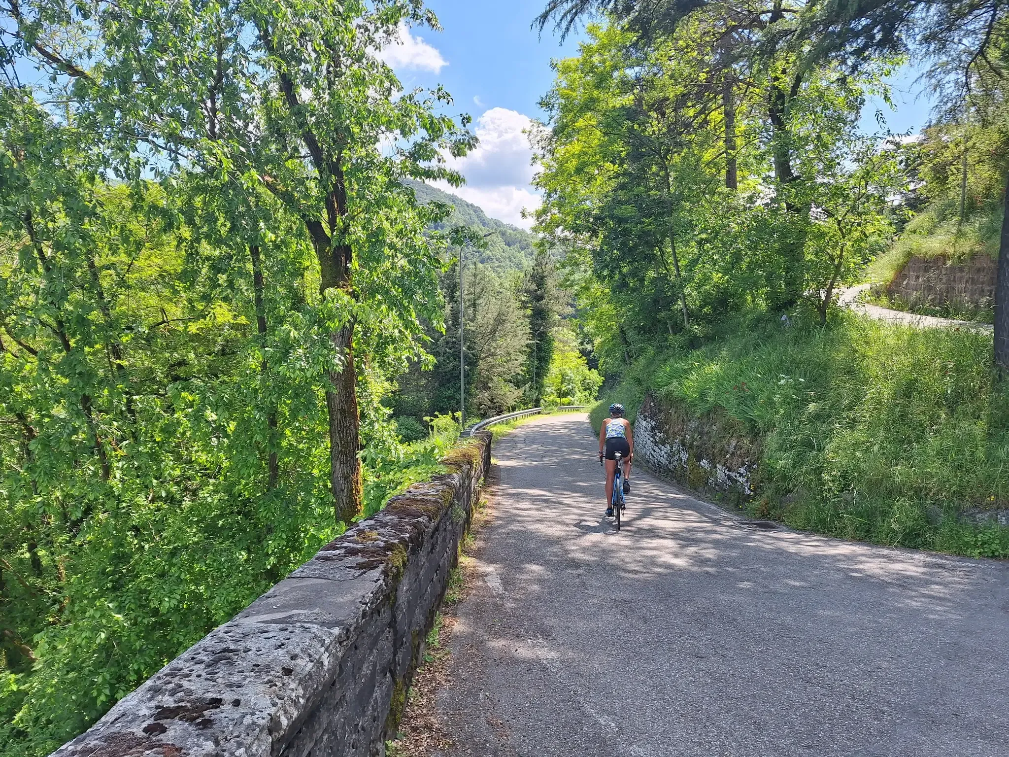
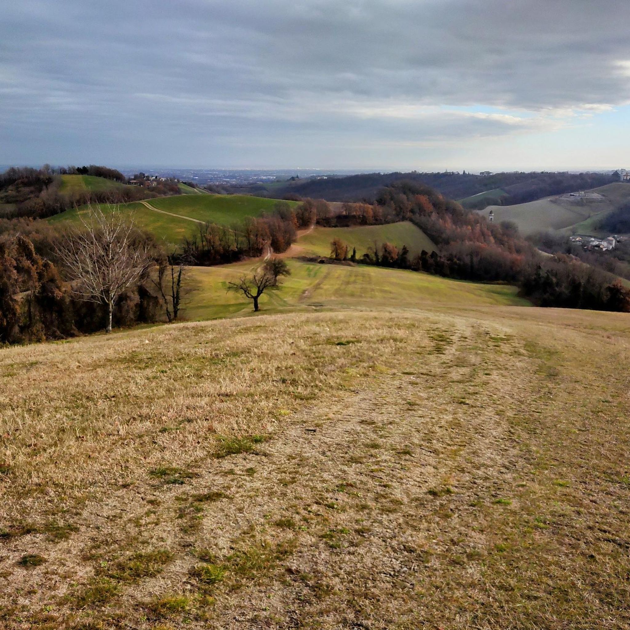
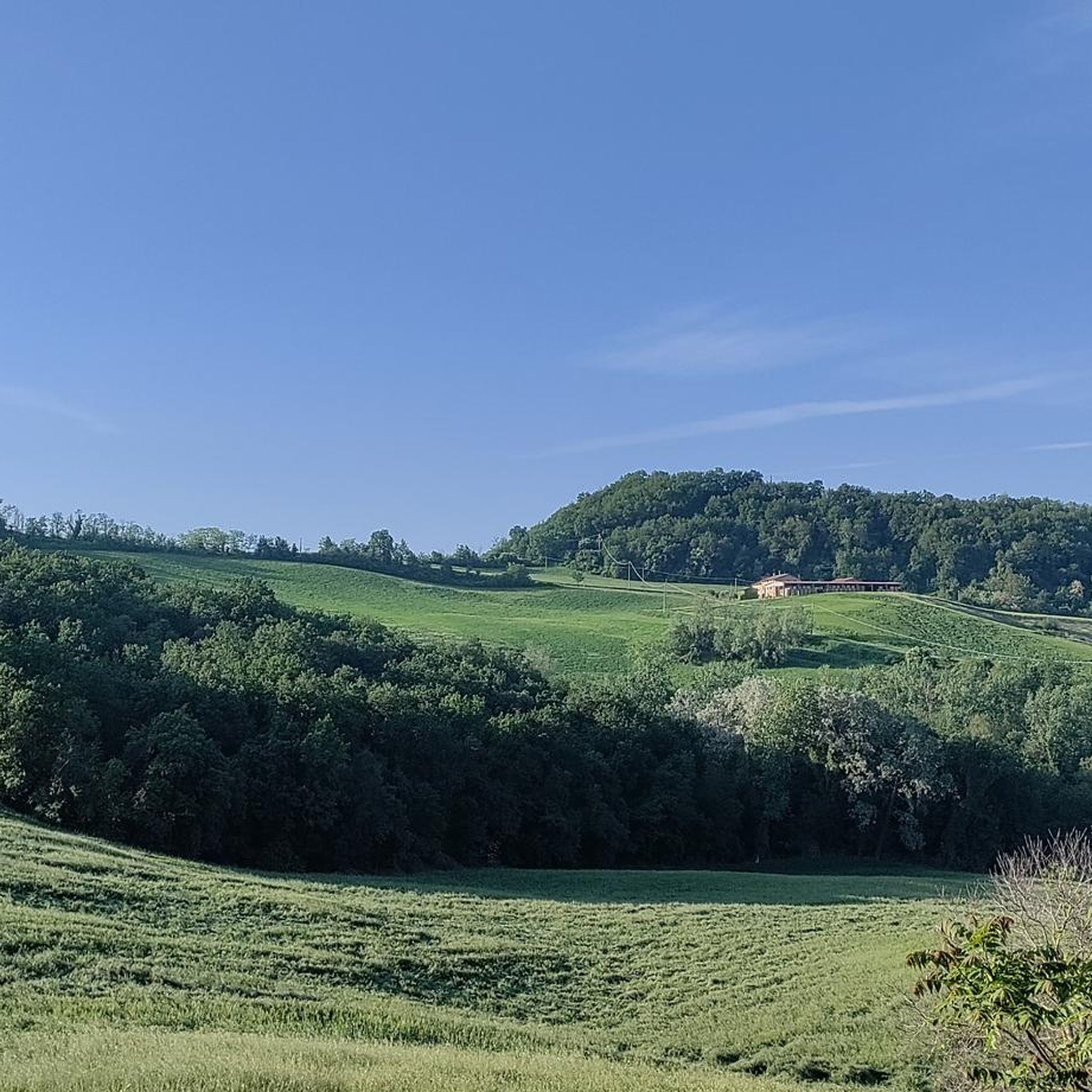
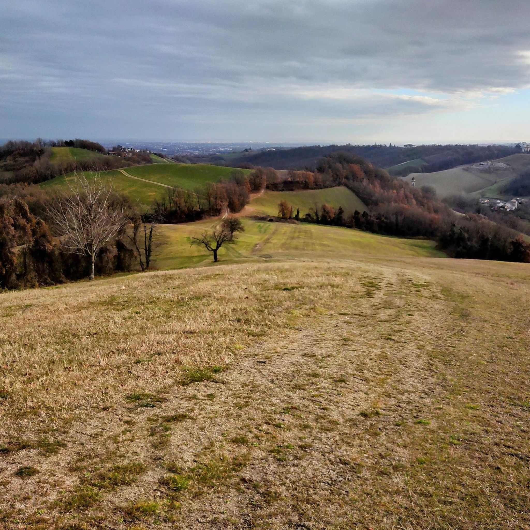

Other adventures around Salsomaggiore Terme

Tips from the Community

Small parish church of Tabiano Castello, dedicated to Saints Gervasio and Protasio. The ancient building is in the Romanesque style of the 16th century.
0
0

When you arrive, it feels like stepping into a fairy tale. The lake nestled between rock walls is very evocative.
0
0

torrent with crystal clear water, the bridge half under pressure, especially the parapets
0
0
The second Maestà of Taniano Castello is located after the church of Saints Gervasio and Protasio, also built in the same style as the village.
0
0
------ Outside, there are buildings from different eras; the oldest, of medieval origin, are the inn, the blacksmith's house, the tailor's house, and the sharecropper's house. The agricultural buildings, including the stables, barns, and dairy, are more recent. They were built mostly in the early 20th century, when Carlo Corazza purchased new land and renovated the older farmhouses, establishing a thriving rural business. At that time, the village experienced its period of greatest prosperity, and numerous businesses arose alongside the oratory dedicated to Santa Maria, founded in 1904 by Giacomo Corazza, in addition to those already existing, including a barber, a carpenter, a shoemaker, and a tobacconist. After the Second World War, the agricultural sector entered a crisis, and the small village was depopulated, only to be reborn in the new millennium thanks to the transformation of the entire complex into a hotel. SOURCE: https://it.wikipedia.org/wiki/Tabiano_Castello
0
0
Adjacent to the castle, which stands in an elevated position, lies the small stone village that arose in the Middle Ages. The oldest part consists of the buildings that stand within the 13th-century walls at the foot of the castle. Two circular corner towers rise along the eastern edges of the enclosure. The ancient stone entrance tower stands close to the escarpment on which the castle stands. Characterized by its red brick corner, it is crowned by Ghibelline battlements. The exterior façade still clearly shows, on either side of the pointed-arch portal, the two tall slits that once housed the bolts of the drawbridge, later replaced by a small wooden bridge. Within the walls stand the 14th-century Watchtower, incorporated into the Casa della Ragione, and the Casa dell'Agata, whose base dates back to the Middle Ages. ---- continues ----
0
0
The fountain is located inside the committee building which is open according to the times indicated on the notice on the gate.
0
0
The fountain is located at the back of the sanctuary near the public restroom entrance. The fountain is functional and accessible despite ongoing restoration work.
0
0
Frequently Asked Questions
How many hiking trails are available around Salsomaggiore Terme?
There are over 80 hiking routes in the Salsomaggiore Terme area. These trails offer a variety of experiences, from easy strolls to more challenging treks through the rolling green hills and varied terrain.
What kind of terrain can I expect on hikes in Salsomaggiore Terme?
The terrain around Salsomaggiore Terme is quite varied. You'll find picturesque rolling green hills, paths through natural parks like Stirone and Piacenzano Park, and routes that explore the Salsominore Valley. Trails range from easily accessible urban walks to more challenging paths requiring good fitness.
Are there any easy or beginner-friendly hiking routes in Salsomaggiore Terme?
Yes, Salsomaggiore Terme offers many easy routes suitable for beginners. For example, the Castello di Bargone – Chiesa di Bargone loop from Salsomaggiore Terme is an easy 6.5 km hike. There are also urban walks like 'Salsomaggiore Terme by way of churches and parks' (4 km), which allow you to explore the town's architecture and parks.
What are some notable natural features or landmarks to see on hikes?
Hikers can discover a variety of natural features and historical landmarks. The Stirone and Piacenzano Park offers a unique naturalistic experience with paleontological importance. You can also visit the tranquil Gavinell Botanical Garden. For historical sites, look out for medieval castles such as Tabiano Castle or the Aldighieri fortress of Contignaco. Viewpoints like Pietra Corva and La Battuta Hill offer scenic vistas.
Are there any circular hiking routes available?
Yes, many of the trails around Salsomaggiore Terme are circular. Popular options include the Salsomaggiore Thermal Baths – View Over the Piacenza Hills loop from Castello di Contignaco and the Parco Mazzini – Road to Salsominore loop from Salsomaggiore Terme. These loops provide convenient starting and ending points.
What do other hikers say about the trails in Salsomaggiore Terme?
The hiking routes in Salsomaggiore Terme are highly rated by the komoot community, with an average score of 4.5 stars from over 200 reviews. Hikers often praise the diverse landscapes, the blend of natural beauty and cultural interest, and the well-maintained paths suitable for various fitness levels.
Can I hike with my dog in Salsomaggiore Terme?
Generally, dogs are welcome on many trails in the Salsomaggiore Terme area. It's always recommended to keep your dog on a leash, especially in nature reserves or near livestock, and to check specific trail regulations if available. The varied terrain offers plenty of opportunities for walks with your canine companion.
Are there family-friendly hiking options?
Yes, Salsomaggiore Terme has several family-friendly hiking options. Easier trails and urban walks, such as those exploring the town's parks like Corazza Park and Mazzini Park, are suitable for families with children. The diverse landscape ensures there are routes that aren't too strenuous for younger hikers.
What is the best time of year to go hiking in Salsomaggiore Terme?
The best time to visit Salsomaggiore Terme for hiking is typically during the spring (April-June) and autumn (September-October) months. During these periods, the weather is mild and pleasant, and the natural scenery is particularly vibrant with blooming flowers or rich autumn colors. Summer can be warm, while winter offers a different, quieter experience, though some higher trails might be less accessible.
Are there any cafes or places to eat near the hiking trails?
Salsomaggiore Terme is a well-established town, so you'll find numerous cafes, restaurants, and accommodation options both within the town center and in nearby villages. Many routes start or pass through areas where you can easily access refreshments before or after your hike.
Is public transport available to reach trailheads?
Salsomaggiore Terme is accessible by public transport, including train and bus services. While some trailheads might be directly accessible from the town center, for others, you might need to combine public transport with a short walk or a local taxi service. It's advisable to check local bus schedules for routes connecting to specific starting points.
Where can I find parking for hiking trails?
Parking is generally available in and around Salsomaggiore Terme. For trails starting directly from the town, you can use public parking facilities. For routes in more rural areas, there are often designated parking spots near popular trailheads or in small villages. Always ensure you park responsibly and check for any local parking restrictions.
Most popular routes around Salsomaggiore Terme
Most popular attractions around Salsomaggiore Terme

Get inspired with the komoot mobile app


Explore more
Browse the best Hikes in other regions.
