The best walks and hikes around Bettola
4.3
(374)
1,389
hikers
73
hikes
Hiking around Bettola, situated within the Alta Val Nure Outdoor Area, offers access to an extensive network of trails. The region features a varied topography, transitioning from vine-dotted hills to high peaks and rocky spurs. Hikers can explore lush wooded areas, expansive meadows, and several glacial lakes, including Lake Moo, Lake Bino, and Lake Nero. The Nure stream also winds through the landscape, contributing to the diverse natural features.
Best hiking trails around Bettola
- The most popular hiking route is…
Last updated: July 7, 2026
4.4
(17)
52
hikers
8.46km
03:14
580m
580m
Moderate hike. Good fitness required. Mostly accessible paths. Sure-footedness required.
4.4
(17)
51
hikers
8.18km
03:02
560m
560m
Moderate hike. Good fitness required. Easily-accessible paths. Suitable for all skill levels.

Sign up for free
3.4
(10)
34
hikers
12.2km
03:55
530m
530m
Moderate hike. Good fitness required. Easily-accessible paths. Suitable for all skill levels.
4.0
(3)
11
hikers
4.73km
01:34
230m
220m
Easy hike. Great for any fitness level. Easily-accessible paths. Suitable for all skill levels.
11.0km
03:37
520m
520m
Moderate hike. Good fitness required. Easily-accessible paths. Suitable for all skill levels.
Get access to more routes and recommendations from other explorers.
Sign up for free
Already have an account?
Our route recommendations are based on thousands of hikes, rides, and runs completed by other people on komoot.
Start today with a free account
Your next adventure awaits.
Login or Signup
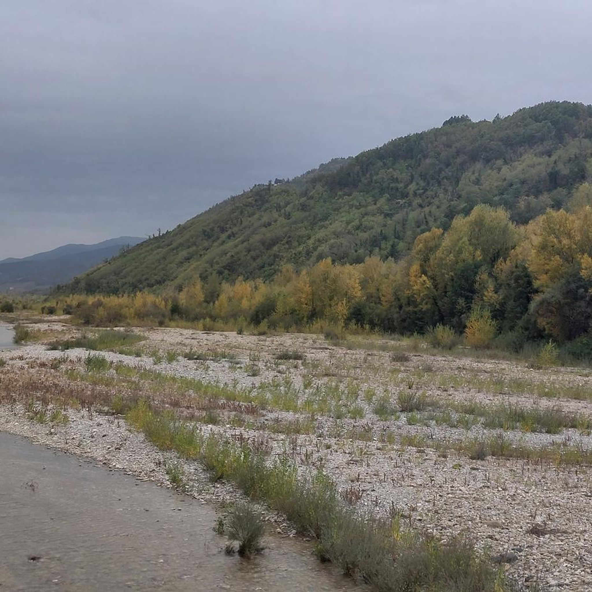
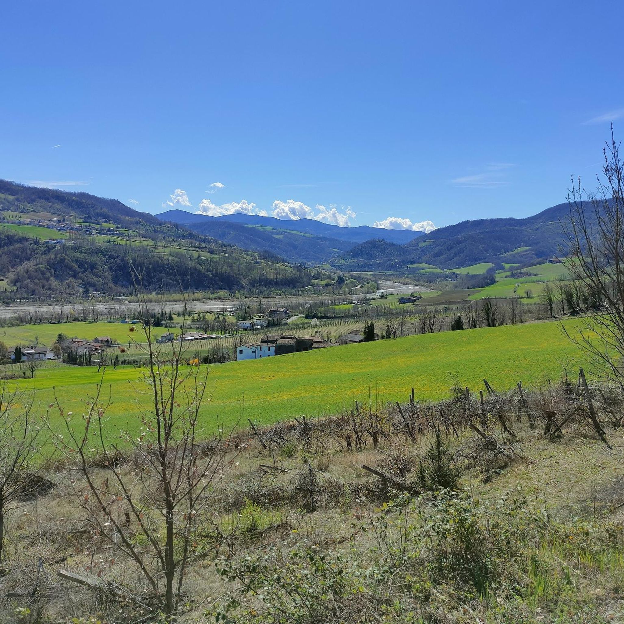
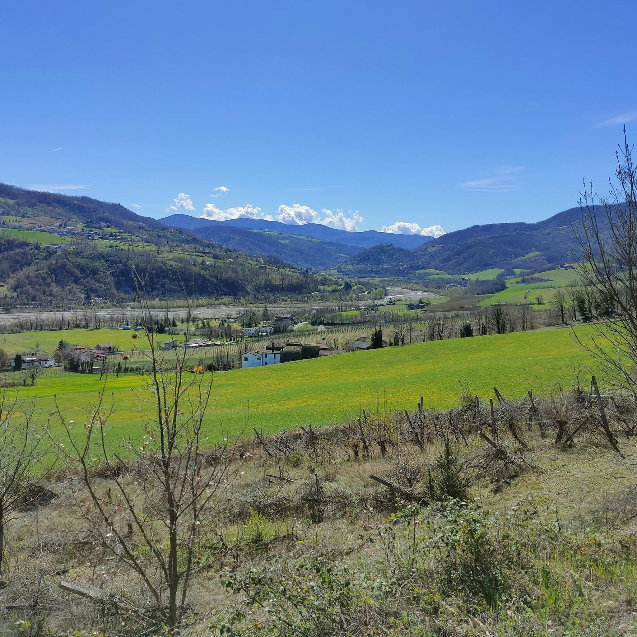

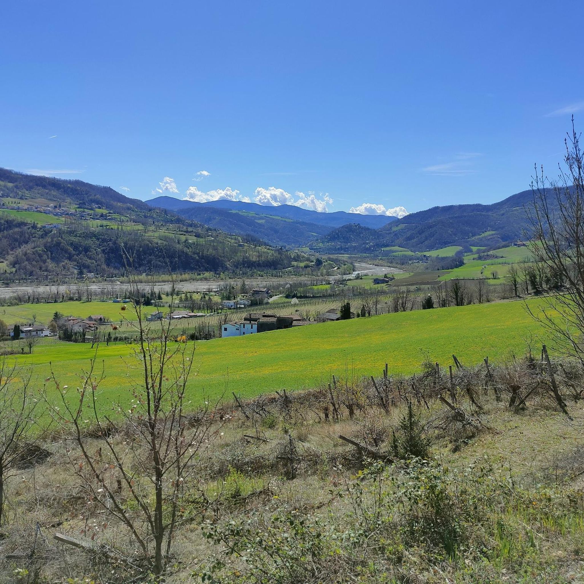
Tips from the Community

It's located on a plateau surrounded by beech forests, also accessible by car. The setting is truly fascinating. Nearby, there's also a spring believed to be miraculous.
0
0

This side of the hill is characterized by a rapid change in terrain type at every step, you go from the tree-lined path, to the classic path and suddenly you turn the curve and you find yourself overlooking the gullies. They almost look like sand dunes but in the end they are clay rocks eroded by water. The peculiarity is that some are completely almost devoid of vegetation and immediately after you find them covered.
0
0


Cippo in memory of three partisans murdered on 4/6/1944 in Montelana di Morfasso. Entirely made of marble, it consists of a rectangular slab on which the epigraph is engraved. This shows the name of the 3 Fallen, each with their own date of birth and common date of death. On the left margin there are also the related ceramic photoportraits, enclosed in an oval bronze frame. Two torches are carved on the sides of the slab. The plinth, with a rectangular plan, has a five-pointed star engraved in the center, symbol of the Garibaldi Brigades.
3
0

Trail very ruined by Jeeps and Motorcycles......they made the trail a unique mud... Going around it is the only solution!
0
0
Monte Osero can be easily reached from the Cerro Pass or the Cappelletta Pass via the GAEP Long March path.
3
0
Ottaviano Nicelli in 1630 decided to reconstruct the oratories of Terruzzi and Montelana. The latter was dedicated to Santa Franca and its existence was linked to the monastery in which the Saint lived for three years. The two buildings had existed since ancient times, but were now destroyed. The oratory of Santa Franca was built in 1639, nine years after Nicelli's death. The current building dates back to the 19th century, as evidenced by a plaque placed on the facade which indicates the date of 1882.
5
0
Frequently Asked Questions
How many hiking trails are available around Bettola?
Bettola, located in the Alta Val Nure Outdoor Area, offers an extensive network of over 60 hiking routes. These trails cater to various skill levels, from easy walks to more challenging ascents, allowing you to explore the diverse landscapes of the region.
What kind of terrain can I expect on hikes near Bettola?
The terrain around Bettola is remarkably varied. You'll find everything from gentle, vine-dotted hills to majestic high peaks and distinctive rocky spurs. Trails often lead through lush wooded areas, expansive meadows, and along the serene Nure stream, providing a rich and changing landscape for hikers.
Are there any easy hiking options suitable for families or beginners?
Yes, Bettola offers several easy hiking options perfect for families or those new to hiking. For instance, the Anello della Penna Trail is an easy route that allows you to enjoy the natural beauty without significant challenge. The region's well-signposted network includes routes suitable for all skill levels.
Can I find circular hiking routes in Bettola?
Many of the trails around Bettola are designed as circular routes, offering convenient starting and ending points. A great example is the Monte la Penna Loop, which provides a rewarding experience as you return to your starting location without retracing your steps.
What natural features or landmarks can I see along the hiking trails?
The hiking trails around Bettola are rich with natural beauty. You can explore several glacial lakes, such as Lake Moo, Lake Bino, and Lake Nero, nestled amidst beech and fir trees. Additionally, you might encounter impressive rock formations like the Devil Piplon Rock or enjoy the cascades of the Perino Waterfalls.
Are there any trails with panoramic viewpoints?
Absolutely. Many trails in the Bettola area offer stunning panoramic views. The Monte Osero loops, such as the Monte Osero Loop from Calenzano, are particularly known for providing 360-degree vistas of the surrounding valleys and diverse landscapes.
What is the best time of year to go hiking in Bettola?
Spring and autumn are generally considered the best times for hiking in Bettola. In spring, the meadows burst with blooms, and the glacial lakes, like Lake Moo, are particularly therapeutic with water lilies. Autumn offers pleasant temperatures and vibrant foliage. Summer can also be enjoyable, especially for higher altitude trails, but be prepared for warmer weather.
Are there any dog-friendly hiking trails in the Bettola area?
Many of the trails in the Alta Val Nure Outdoor Area are suitable for hiking with dogs, provided they are kept under control and local regulations are followed. The varied landscapes, from wooded paths to open meadows, offer plenty of opportunities for you and your canine companion to explore together.
What do other hikers enjoy the most about hiking in Bettola?
The hiking experiences in Bettola are highly rated by the komoot community, with an average score of 4.3 stars. Reviewers often praise the diverse scenery, from vine-dotted hills to high peaks and glacial lakes, as well as the well-maintained and extensive trail network that caters to all abilities.
Are there any advanced or challenging hiking trails for experienced hikers?
Yes, for experienced hikers seeking a challenge, Bettola offers several more difficult routes. These trails often involve greater elevation changes and longer distances, leading to higher peaks and more remote areas of the Piacenza Apennines. You can find about 12 such challenging routes in the region.
Is public transport available to access hiking trailheads near Bettola?
While Bettola is well-connected within the Alta Val Nure Outdoor Area, public transport options directly to specific trailheads can be limited. It's advisable to check local bus schedules if you plan to rely on public transport. Many hikers prefer to drive to access the wider network of trails.
Where can I find parking for hiking trails around Bettola?
Parking is generally available in and around Bettola, as well as at designated starting points for many popular trails. Specific parking information can often be found on individual route descriptions or local tourism websites. It's recommended to check for parking availability near your chosen trailhead in advance.
Most popular attractions around Bettola

Get inspired with the komoot mobile app


Explore more
Browse the best Hikes in other regions.
