The best running trails around Pellegrino Parmense
4.1
(29)
2,411
runners
161
runs
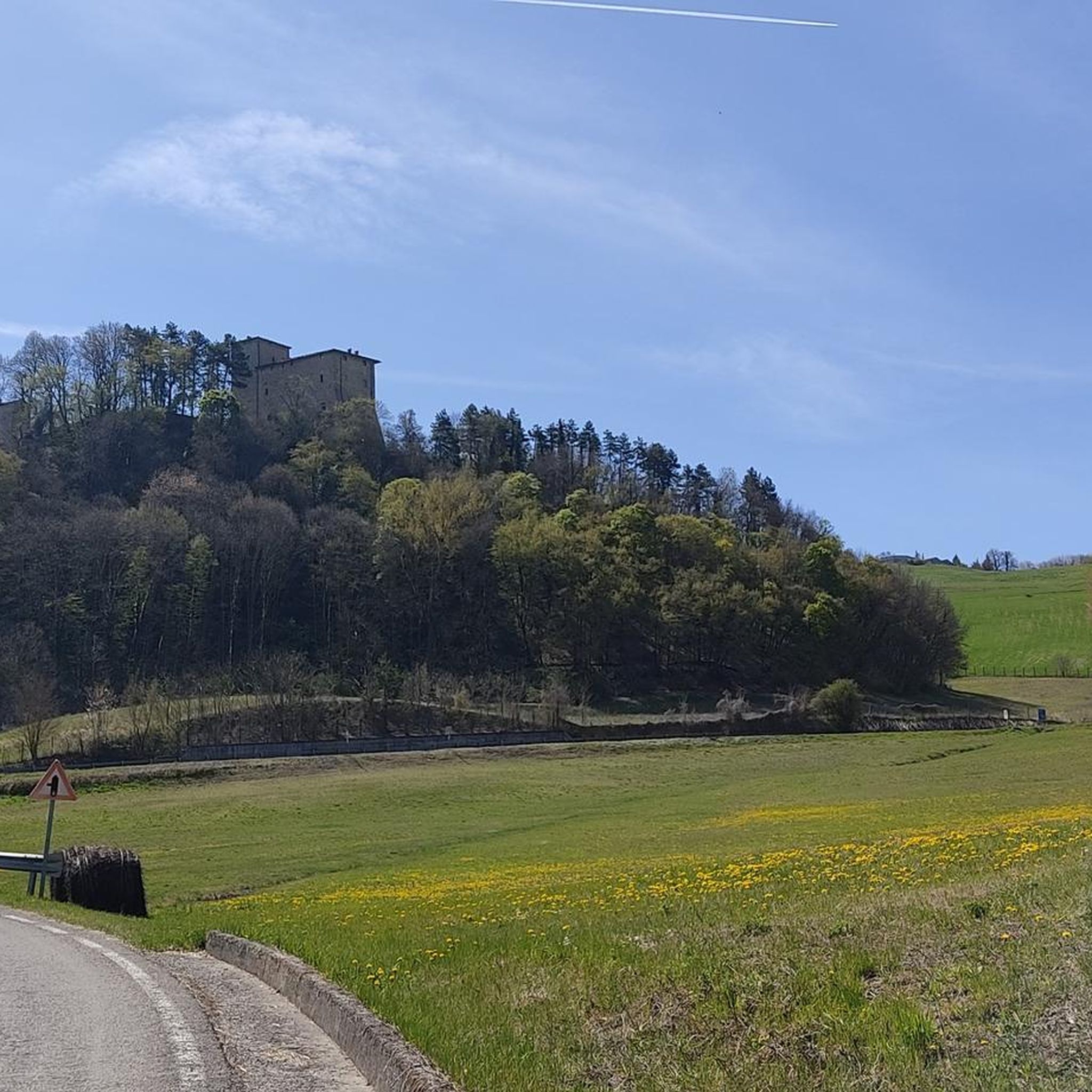
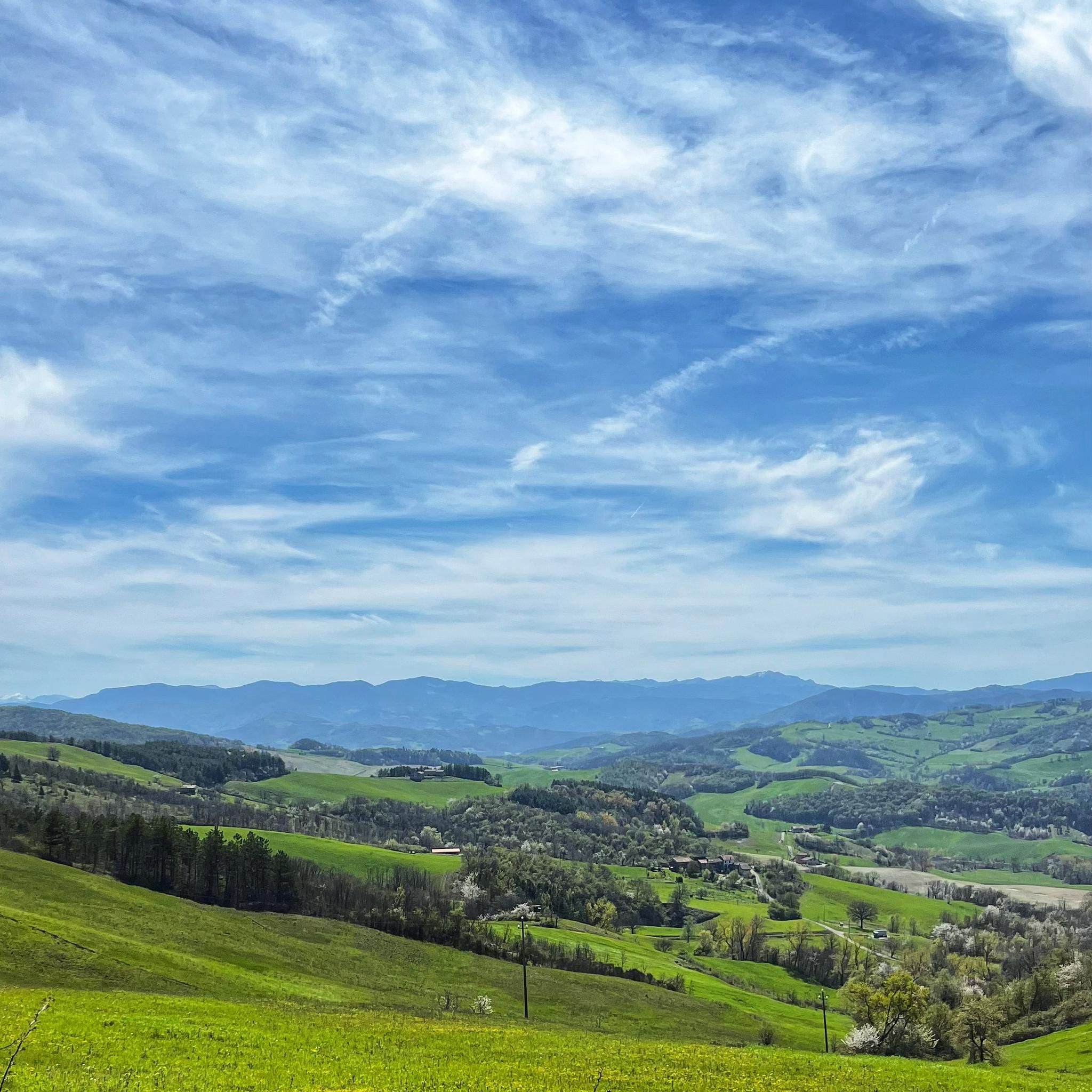
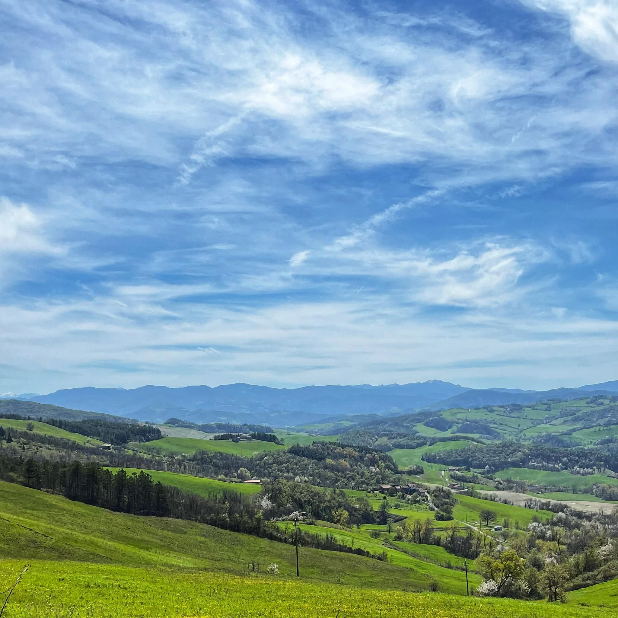
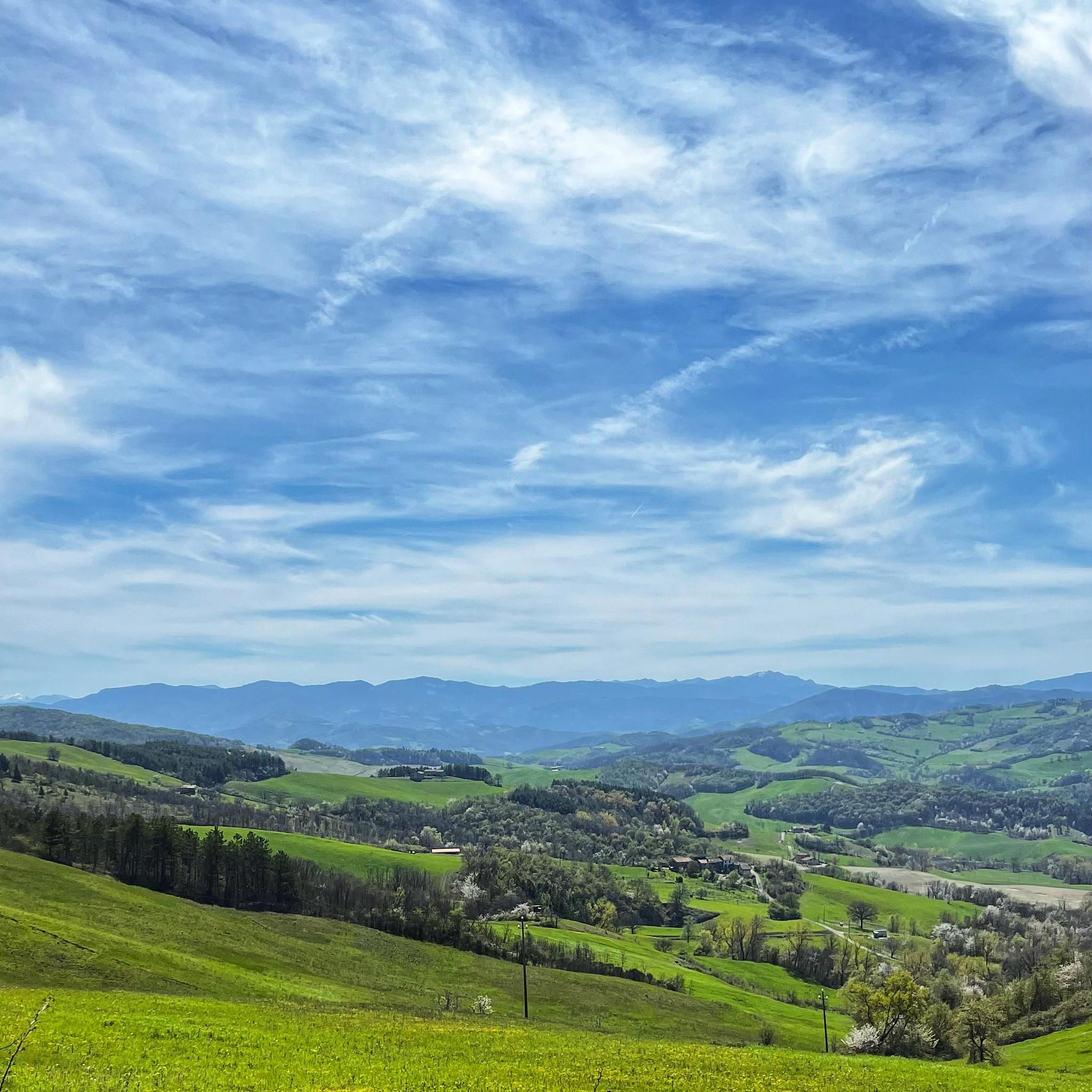
Jogging around Pellegrino Parmense offers an opportunity to explore the northern Ceno valley in Italy's Emilia-Romagna region. The area is characterized by green meadows, dense forests, and verdant hills, providing a variety of terrains for running. With elevations ranging from 450 to 700 meters, routes feature both gentle slopes and more challenging paths, often on natural and unpaved sections. This environment supports diverse running experiences amidst a pollution-free setting.
Best jogging routes in Pellegrino Parmense
- The most popular jogging route is View Over the Piacenza Hills loop from Castello di Contignaco, a 4.5 miles (7.3 km) trail that takes about 49 minutes to complete, offering views over the Piacenza Hills.
- Another top favourite among local runners is Ertara dei Briganti loop from Vigoleno, a difficult 12.6 miles (20.3 km) path that winds through varied terrain.
- Local runners also love the Mount Inverno – Monte di Riviano loop from Varano Dei Marchesi, a 14.7 miles (23.7 km) trail leading through the hills of Mount Inverno and Monte di Riviano, often completed in about 3 hours 11 minutes.
- Jogging around Pellegrino Parmense is defined by green meadows, forests, and verdant hills, with routes offering varying elevations. The network provides options for easy jogs, moderate runs, and more difficult trails for experienced runners.
- The routes in Pellegrino Parmense are highly rated by the komoot community with an average score of 4.1 stars from over 16 reviews. More than 2000 runners have used komoot to explore Pellegrino Parmense's varied terrain.
Last updated: July 1, 2026
20
runners
23.7km
03:11
1,060m
1,060m
Hard run. Very good fitness required. Mostly accessible paths. Some sure footedness required.
10
runners
15.4km
01:53
460m
460m
Hard run. Very good fitness required. Mostly paved surfaces. Suitable for all skill levels.

Sign up for free
8
runners
5.92km
00:45
230m
230m
Moderate run. Good fitness required. Mostly paved surfaces. Suitable for all skill levels.
10
runners
20.4km
03:07
1,200m
1,200m
Hard run. Very good fitness required. Mostly paved surfaces. Suitable for all skill levels.
10
runners
49.8km
05:37
1,030m
1,030m
Hard run. Very good fitness required. Mostly paved surfaces. Suitable for all skill levels.
Get access to more routes and recommendations from other explorers.
Sign up for free
Already have an account?
Our route recommendations are based on thousands of hikes, rides, and runs completed by other people on komoot.
Start today with a free account
Your next adventure awaits.
Login or Signup

Tips from the Community

A scenic finish line. Beautiful climbs and descents on both sides. A must-do for everyone on your tours.
0
0

A beautiful climb, quite challenging at first, then becoming easier towards the pass at 650 meters. I would not recommend doing it in the height of summer as it is completely exposed and without the shelter of wooded areas. The long descent to Salsomaggiore Terme is very beautiful.
0
0

There's no view once you reach the summit. The setting, however, is pleasant.
0
0
Very panoramic point with 360 degree views.
0
0
A pleasant spot to visit and with great views. There are some exposed sections at the top, so be very careful, especially if you're traveling with children.
0
0

Very beautiful village, well worth a visit
2
0

Cliff from which you can enjoy a breathtaking view of the Ceno Valley and the Po Valley. The surrounding area between wild orchids and gullies offers an excellent naturalistic experience!
0
0

Challenging climb and fun descent, but be careful!
1
1
Frequently Asked Questions
How many running routes are available in Pellegrino Parmense?
Pellegrino Parmense offers a wide selection of over 120 running routes. These trails cater to various fitness levels, from easy jogs to more challenging paths for experienced runners, all set amidst the region's beautiful natural landscapes.
What kind of terrain can I expect on the running trails in Pellegrino Parmense?
The running trails in Pellegrino Parmense are characterized by diverse terrain, including green meadows, dense forests, and verdant hills. You'll find a mix of gentle slopes and more challenging ascents, often on natural and unpaved sections, providing an authentic outdoor experience.
Are there easy or beginner-friendly jogging routes in Pellegrino Parmense?
Yes, Pellegrino Parmense has options suitable for beginners and those looking for an easy jog. While many routes offer moderate to difficult challenges, there are trails designed for casual runs, allowing everyone to enjoy the serene environment. For example, the guide lists 1 easy route and 52 moderate routes.
What are some scenic highlights or natural features I might encounter on a run?
Jogging in Pellegrino Parmense offers numerous scenic highlights. You can experience breathtaking Apennine panoramas, explore lush woods, and discover geological formations like those around Monte Pietra Nera. The area is also home to natural monuments such as the Rio Roncaccio Waterfall and Pessola Stream Waterfalls, as well as the Pietra Nera Quarry Pond.
Are there any circular running routes in the Pellegrino Parmense area?
Yes, the region is known for its circular routes. For instance, there's a scenic circular route winding around Monte Canate, offering stunning Apennine views. Another popular option is the circular trail through the woods around Monte Santa Cristina, where the Stirone Stream originates.
What historical landmarks or cultural sites can I see near the running paths?
Beyond natural beauty, Pellegrino Parmense offers historical points of interest. You can find several castles in the vicinity, such as Tabiano Castle and the Pallavicino Castle of Varano de' Melegari. The historic Keep of Vigoleno is also nearby, adding a rich historical backdrop to your run.
What do other runners enjoy most about jogging in Pellegrino Parmense?
The running routes in Pellegrino Parmense are highly rated by the komoot community, with an average score of 4.1 stars from over 16 reviews. Runners frequently praise the area's serene and picturesque setting, the variety of terrains, and the pollution-free environment, making it ideal for outdoor activities.
Are there any challenging or advanced running trails for experienced runners?
Absolutely. For experienced runners seeking a challenge, Pellegrino Parmense offers 73 difficult routes. Trails like the Mount Inverno – Monte di Riviano loop from Varano Dei Marchesi, which is 14.7 miles (23.7 km) long with significant elevation changes, provide a demanding and rewarding experience.
Is Pellegrino Parmense a good destination for running during summer?
Yes, Pellegrino Parmense is particularly appealing for summer running. Its altitude, ranging from 450 to 700 meters, contributes to a pleasant summer climate, making it a comfortable and refreshing environment for jogging even during warmer months.
Can I find routes that offer expansive views of the surrounding landscape?
Many routes in Pellegrino Parmense provide stunning panoramic views. For example, the View Over the Piacenza Hills loop from Castello di Contignaco is a popular choice specifically for its scenic vistas over the Piacenza Hills.
Are there any less crowded or 'hidden gem' running routes in the area?
While specific 'hidden gems' aren't explicitly named, the extensive network of over 120 routes means you can often find quieter paths away from the most popular spots. Exploring trails through the vast green meadows and forests, particularly those not listed as top favorites, can lead to a more secluded running experience.
What is the longest running route available in Pellegrino Parmense?
Among the routes highlighted, the Mount Inverno – Monte di Riviano loop from Varano Dei Marchesi is one of the longest, stretching 14.7 miles (23.7 km) and typically taking over 3 hours to complete. It offers a substantial challenge for long-distance runners.
Most popular routes around Pellegrino Parmense
Most popular attractions around Pellegrino Parmense

Get inspired with the komoot mobile app


Explore more
Browse the best Running Trails & Routes in other regions.
