The best cycling routes around Rietheim-Weilheim
4.6
(5517)
27,429
riders
14
rides
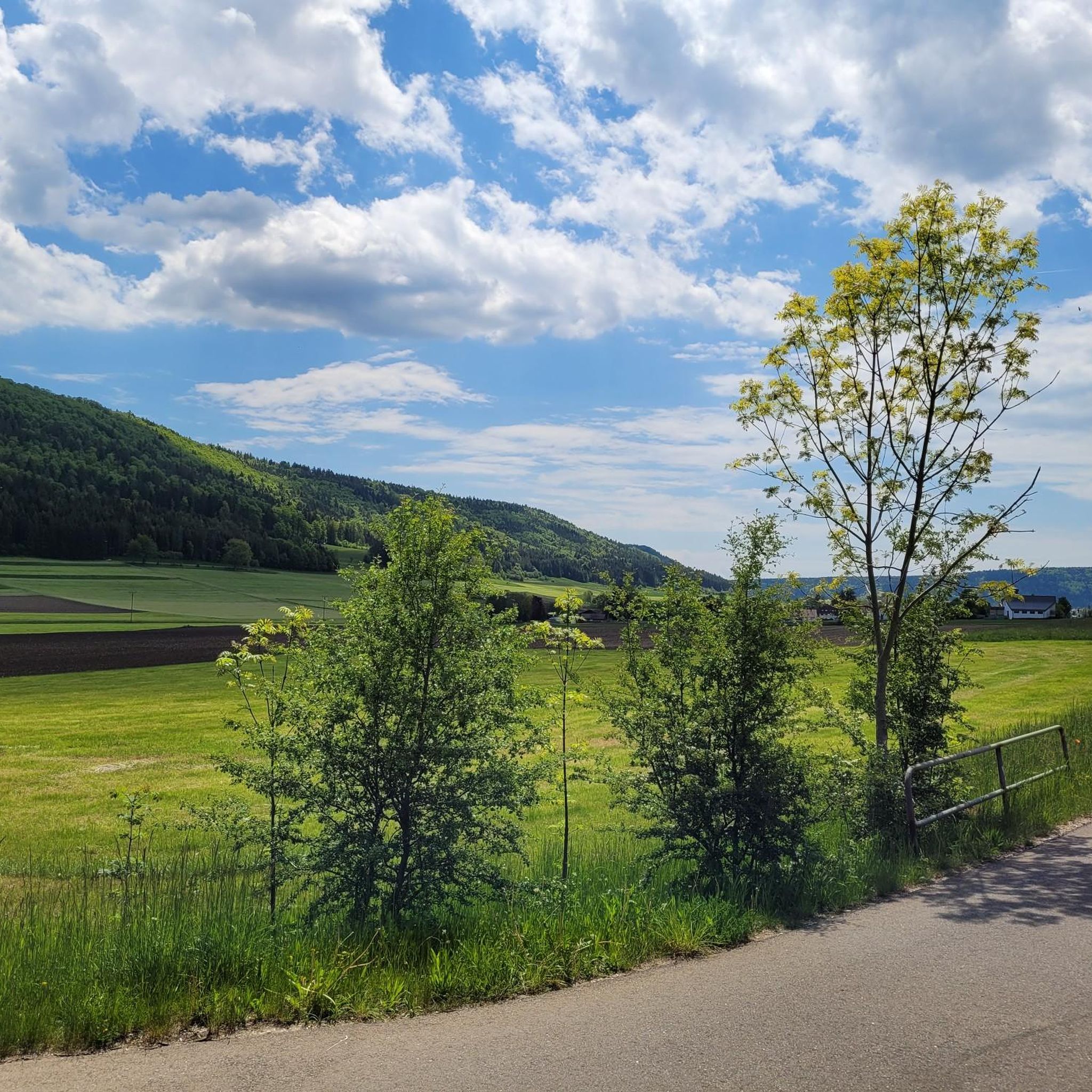
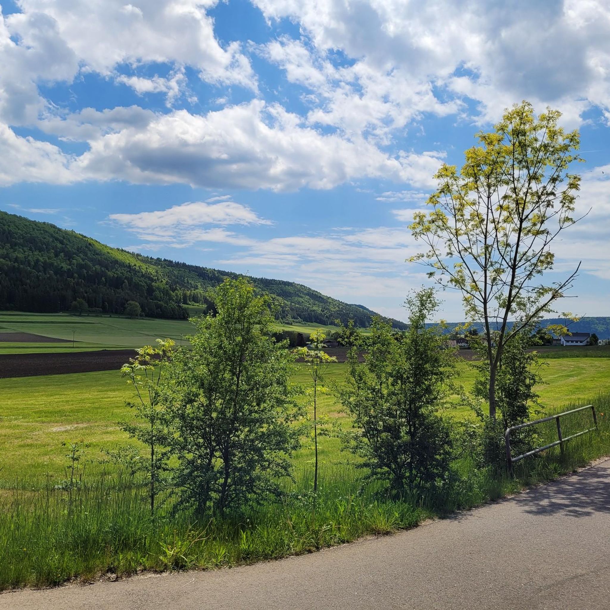
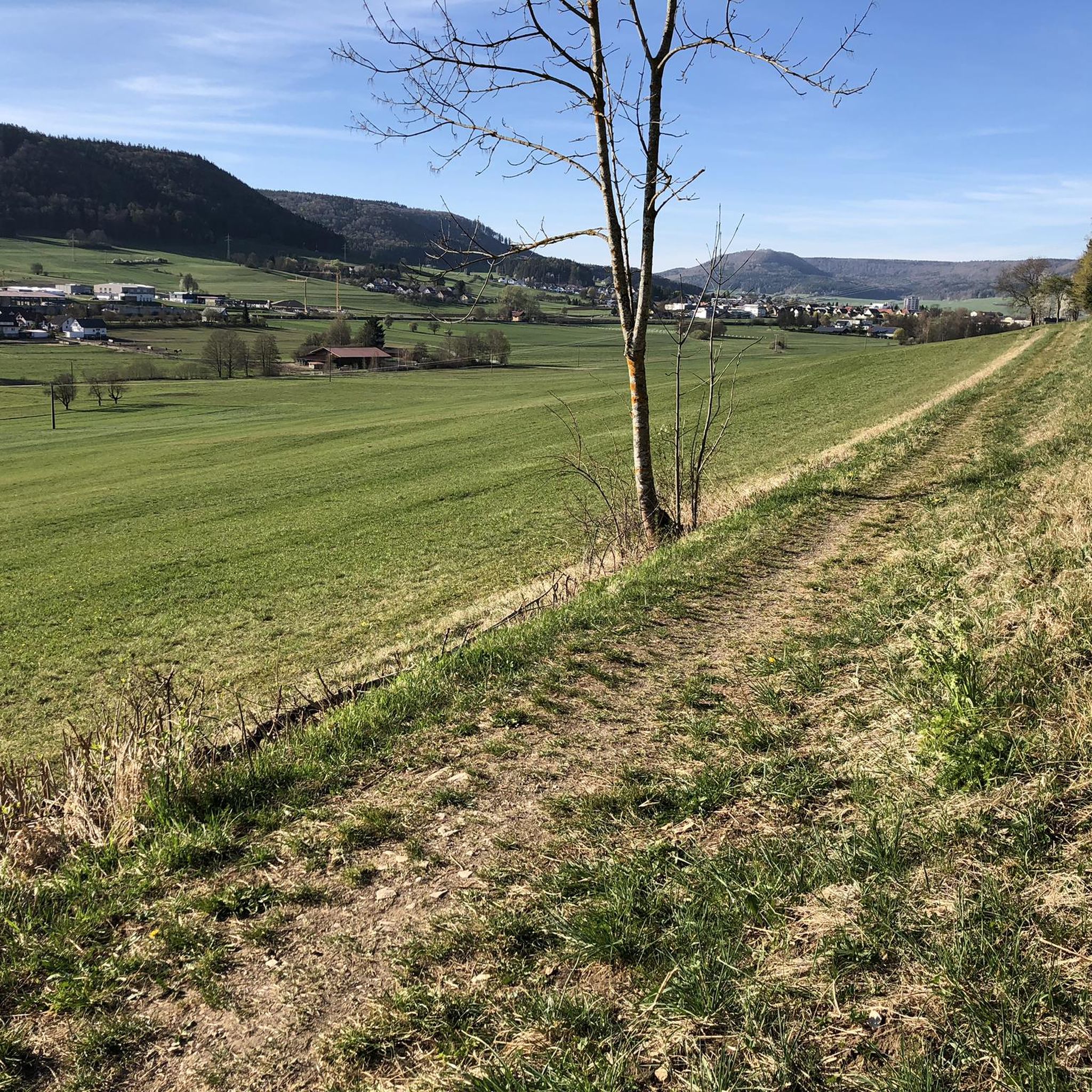
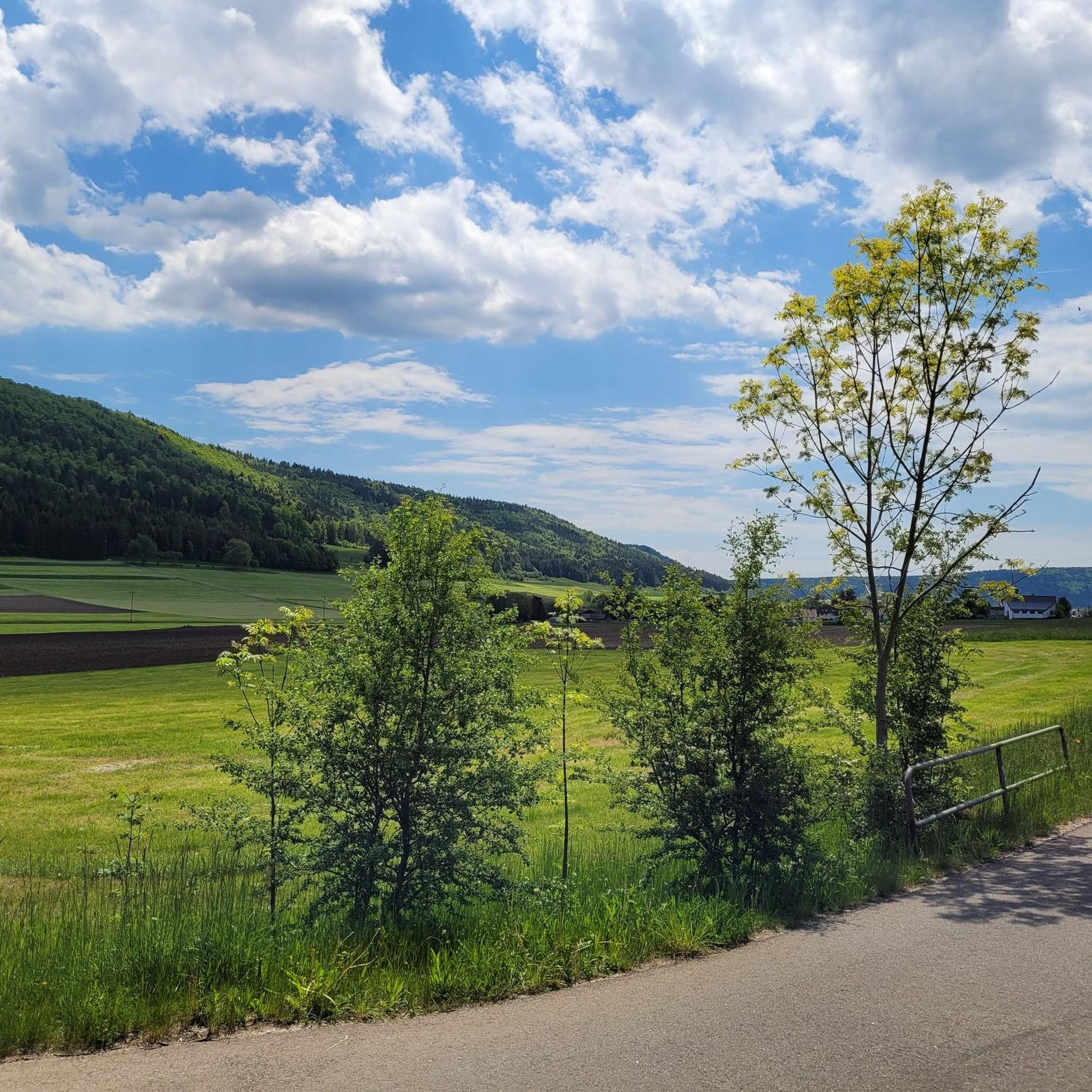
Touring cycling routes around Rietheim-Weilheim traverse a landscape characterized by rolling hills, extensive meadows, and forests in Baden-Württemberg, Germany. The region features the unique Danube Sinkhole, where the Danube River disappears underground, offering diverse terrain for cyclists. Elevations reach around 2,238 feet (682 meters) above sea level, providing varied gradients and potential views of the Alps and Black Forest on clear days. This area benefits from a well-developed cycling network, including paths along the Danube and revitalized streams.
Best touring…
Last updated: May 24, 2026
4.8
(17)
60
riders
12.6km
00:46
70m
70m
Easy bike ride. Great for any fitness level. Mostly paved surfaces. Suitable for all skill levels.
4.6
(7)
48
riders
16.3km
01:02
120m
120m
Easy bike ride. Great for any fitness level. Mostly paved surfaces. Suitable for all skill levels.

Sign up for free
5.0
(12)
22
riders
25.0km
01:30
130m
130m
Easy bike ride. Great for any fitness level. Mostly paved surfaces. Suitable for all skill levels.
4.5
(4)
15
riders
47.2km
03:40
610m
610m
Hard bike ride. Very good fitness required. Mostly paved surfaces. Suitable for all skill levels.
1.0
(1)
8
riders
30.2km
02:01
420m
420m
Moderate bike ride. Good fitness required. Mostly paved surfaces. Suitable for all skill levels.
Get access to more routes and recommendations from other explorers.
Sign up for free
Already have an account?
Our route recommendations are based on thousands of hikes, rides, and runs completed by other people on komoot.
Start today with a free account
Your next adventure awaits.
Login or Signup

Tips from the Community

Beautiful view of the Hohen Karpfen. It is said to have been a volcano in the past.
0
0

Tuttlingen has a beautiful city center, ideal for strolling
1
0

There are several places to stop along the way
1
0

Very nice bike path
3
0
Very nice bike path
4
0

still in top condition, rolls wonderfully
2
0
newly asphalted and in top condition!
3
0
Frequently Asked Questions
What kind of terrain can I expect on touring cycling routes around Rietheim-Weilheim?
The region around Rietheim-Weilheim offers a diverse landscape characterized by rolling hills, extensive meadows, and forests. You'll find varied topography with elevations reaching around 682 meters (2,238 feet) above sea level, providing both gentle stretches and more challenging climbs. On clear days, higher points like the Pilgrimage Church on Trinity Mountain offer views extending to the Alps and the Black Forest.
Are there routes suitable for beginners or those looking for an easy ride?
Yes, Rietheim-Weilheim offers several easy touring cycling routes. For a gentle introduction to the area, consider the European Watershed loop from Rietheim. This route is approximately 12.6 km (7.8 miles) long and typically takes about 46 minutes to complete, offering a pleasant ride through the local landscape.
What unique natural attractions can I see while cycling in the region?
A truly unique natural phenomenon in the region is the Danube Sinkhole (Donauversickerung), where the Danube River disappears underground for much of the year, only to re-emerge 12 km away at the Aachtopf. Further downstream, the dramatic Danube Gorge near Beuron offers stunning scenery. While cycling, you might also encounter revitalized streams like the Faulenbach, providing pleasant paths.
How many touring cycling routes are available in Rietheim-Weilheim?
There are 16 touring cycling routes available around Rietheim-Weilheim. These routes are categorized by difficulty, with 3 easy, 9 moderate, and 4 difficult options, catering to a wide range of cycling abilities.
What do other touring cyclists say about the routes in Rietheim-Weilheim?
The touring cycling routes in Rietheim-Weilheim are highly regarded by the komoot community, boasting an impressive average rating of 4.6 out of 5 stars from over 2,600 reviews. Cyclists often praise the varied terrain, the quiet natural surroundings, and the well-maintained paths that make for an enjoyable experience.
Are there any circular touring cycling routes in the area?
Yes, many of the touring cycling routes around Rietheim-Weilheim are designed as loops, allowing you to start and end at the same point. Examples include the European Watershed loop from Rietheim and the View of Hohenkarpfen – View of Hohenkarpfen loop from Rietheim, which offers scenic views of local landmarks.
What cultural or historical sights can I explore along the touring cycling routes?
While cycling, you can discover several cultural and historical points of interest. Notable landmarks include the Pilgrimage Church on Trinity Mountain, which offers panoramic views, and the Hohenkarpfen Summit and Panoramic View. The broader region also features routes passing princely castles, palaces, and charming half-timbered towns.
Are there any challenging touring cycling routes for experienced riders?
For experienced touring cyclists seeking a challenge, Rietheim-Weilheim offers several difficult routes. One such option is the Car tunnel – Heuberg Railway Tunnel loop from Rietheim, which features significant elevation changes and covers a distance of approximately 35.8 km (22.2 miles).
Can I access the cycling routes using public transport?
The region benefits from Baden-Württemberg's extensive cycling network, which often integrates with public transport options. While specific public transport access points for each route would require local inquiry, many towns and villages in the area are connected, making it possible to combine cycling with train or bus travel. It's advisable to check local transport schedules and bike carriage policies.
What are some other popular touring cycling routes in the area?
Beyond the easy options, other popular routes include the moderate Covered Wooden Bridge – Sängersteg Bridge, Tuttlingen loop from Weilheim, which explores waterways and historical bridges, and the Prim Creek near Aldingen – Rest hut with countryside view loop from Weilheim, offering countryside views over a distance of nearly 40 km.
Are there any caves I can visit near the cycling routes?
Yes, the region around Rietheim-Weilheim is home to several caves that can be explored. Notable examples include the Kolbinger Cave, Mühlheim Rock Cave, and Bettelmännskeller Cave. These offer an interesting diversion for those looking to explore the geological features of the area.
Most popular routes around Rietheim-Weilheim
Most popular attractions around Rietheim-Weilheim

Get inspired with the komoot mobile app


Explore more
Browse the best Cycling routes in other regions.
