The best road cycling routes around Valmozzola
4.1
(133)
2,597
riders
109
rides
Road cycling around Valmozzola features a landscape characterized by significant elevation changes, including mountain passes and winding roads through the Apennine foothills. The region offers routes that traverse valleys and ascend towards notable passes like Passo della Cisa. Road cyclists can expect varied terrain, from challenging climbs to more moderate loops.
Best road cycling routes around Valmozzola
- The most popular road cycling route is Ghiare di Berceto to Vernazza – bike rides to the Italian coast, a 69.8 miles…
Last updated: August 25, 2026
112km
06:47
2,830m
3,090m
Hard road ride. Very good fitness required. Some segments of this route may be unpaved and difficult to ride.
4.0
(2)
102
riders
81.3km
04:31
1,690m
1,690m
Hard road ride. Very good fitness required. Some segments of this route may be unpaved and difficult to ride.

Sign up for free
29
riders
98.7km
05:50
2,390m
2,390m
Hard road ride. Very good fitness required. Some segments of this route may be unpaved and difficult to ride.
12
riders
130km
07:44
3,180m
3,180m
Hard road ride. Very good fitness required. Mostly well-paved surfaces and easy to ride.
5.0
(1)
6
riders
78.9km
04:18
1,580m
1,580m
Hard road ride. Very good fitness required. Some segments of this route may be unpaved and difficult to ride.
Get access to more routes and recommendations from other explorers.
Sign up for free
Already have an account?
Our route recommendations are based on thousands of hikes, rides, and runs completed by other people on komoot.
Start today with a free account
Your next adventure awaits.
Login or Signup

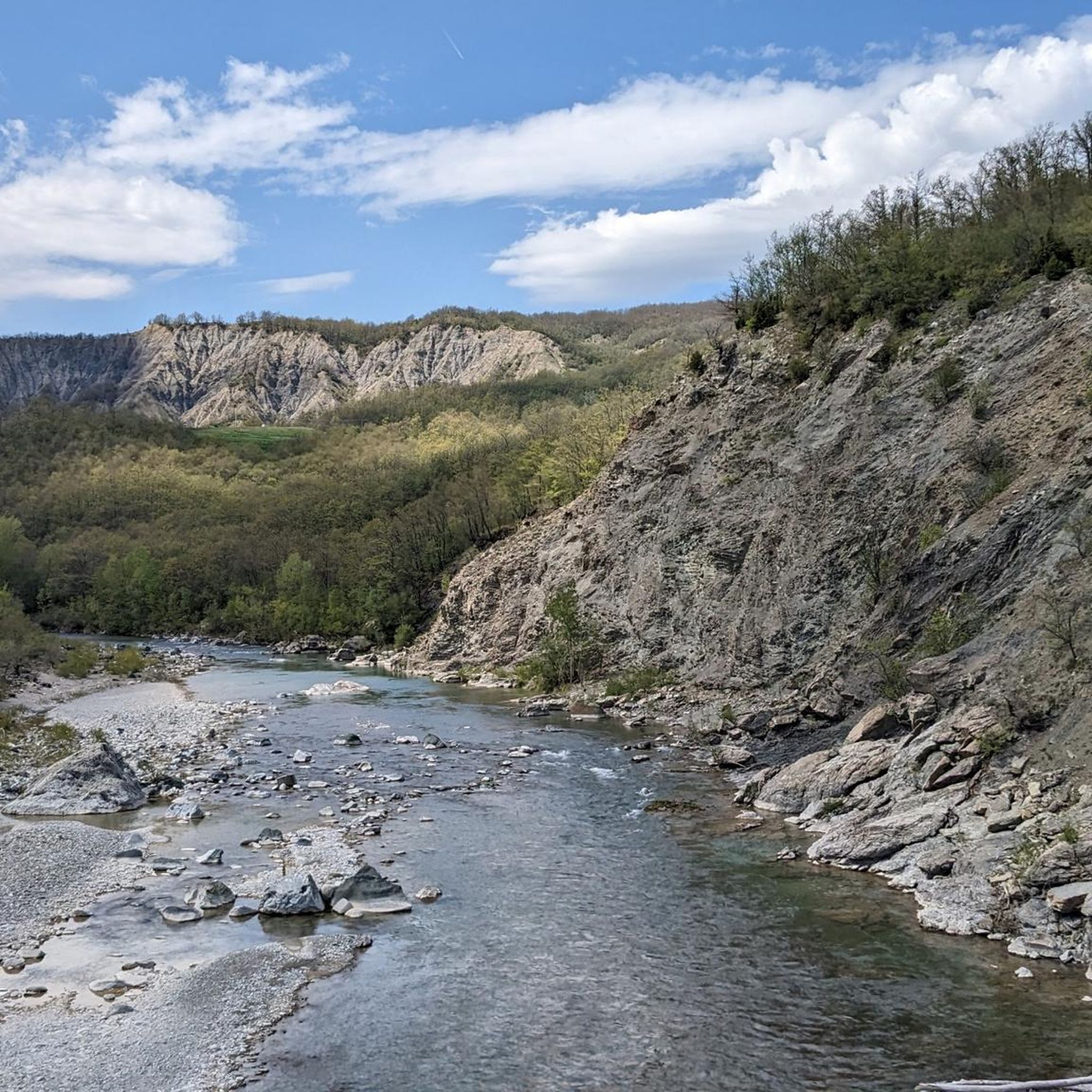
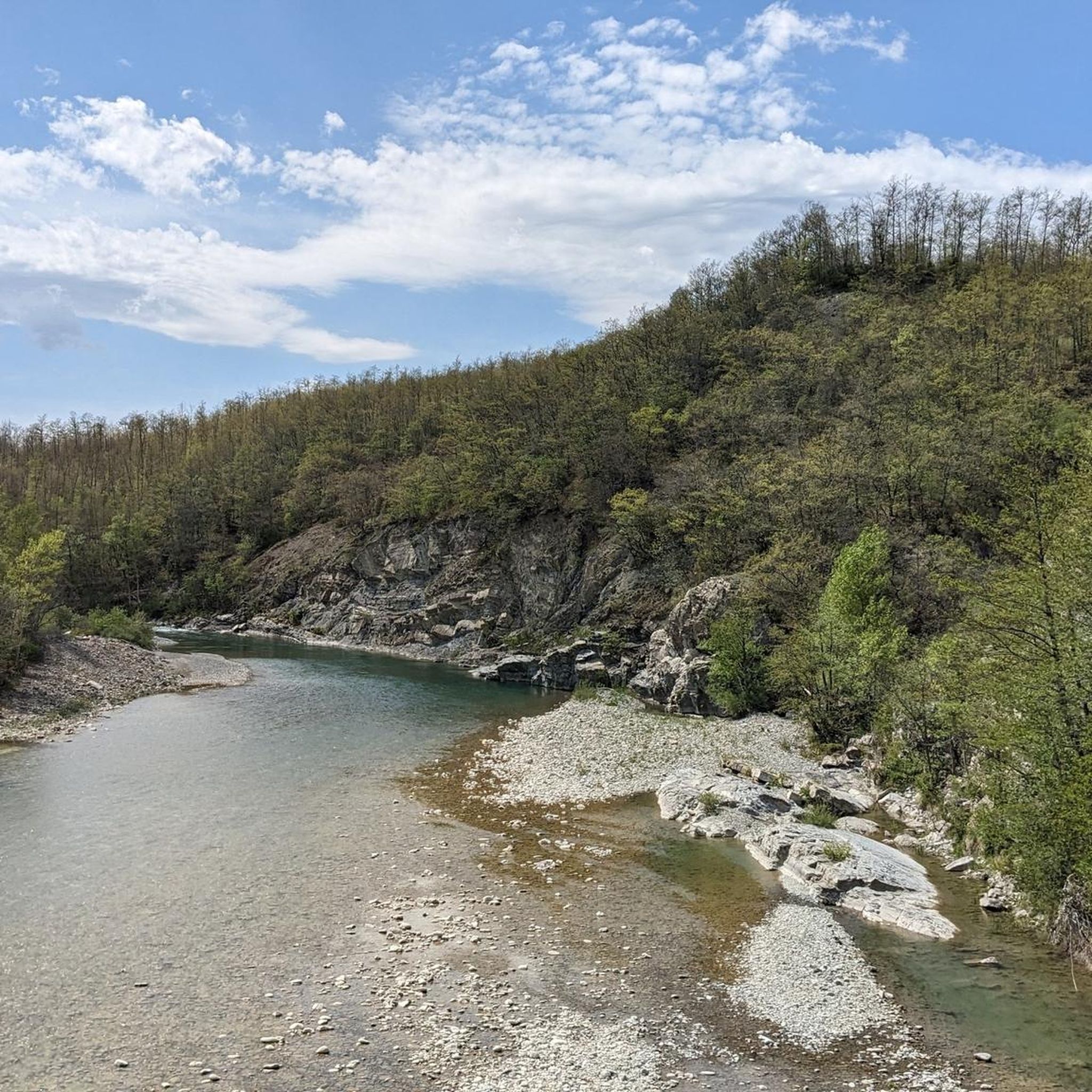
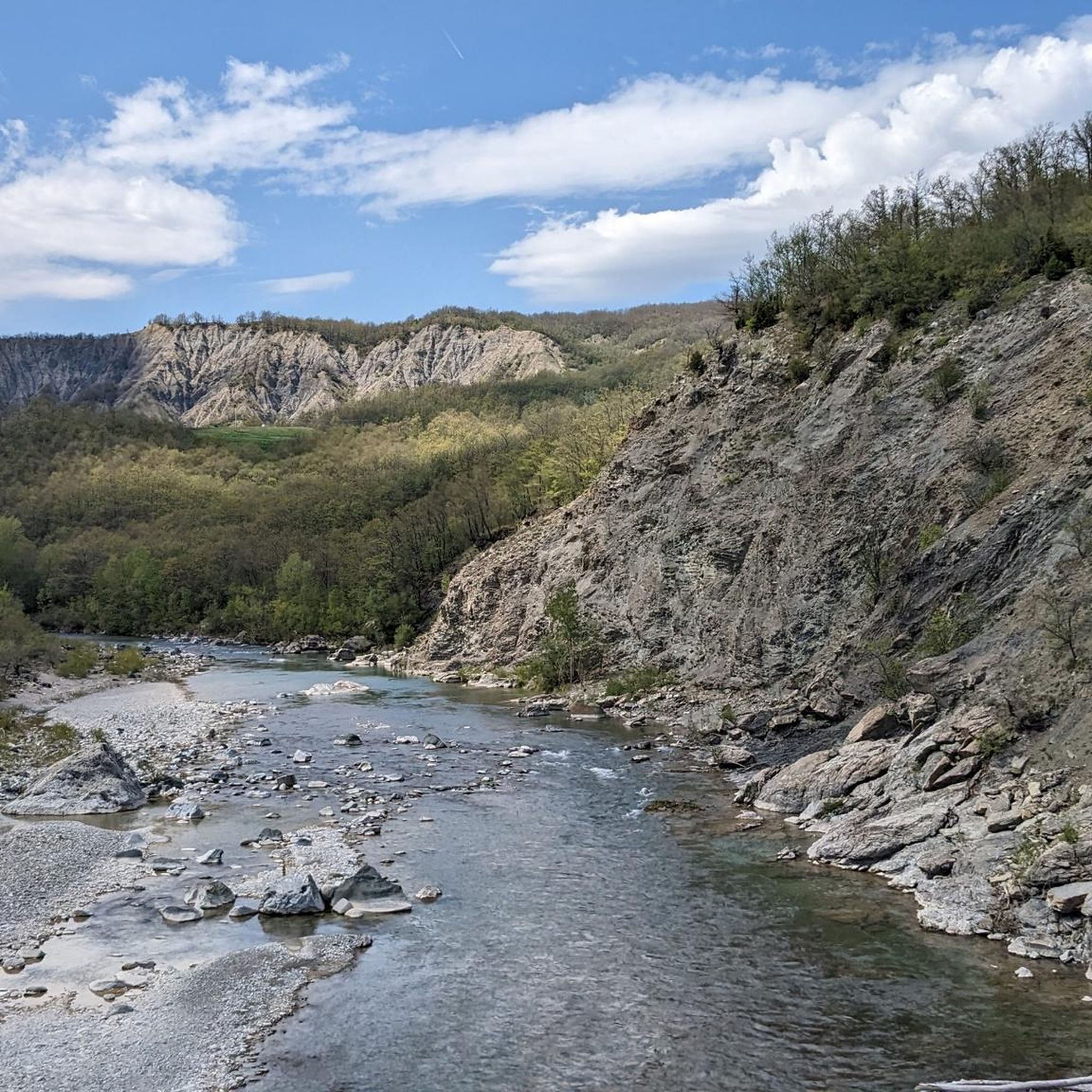
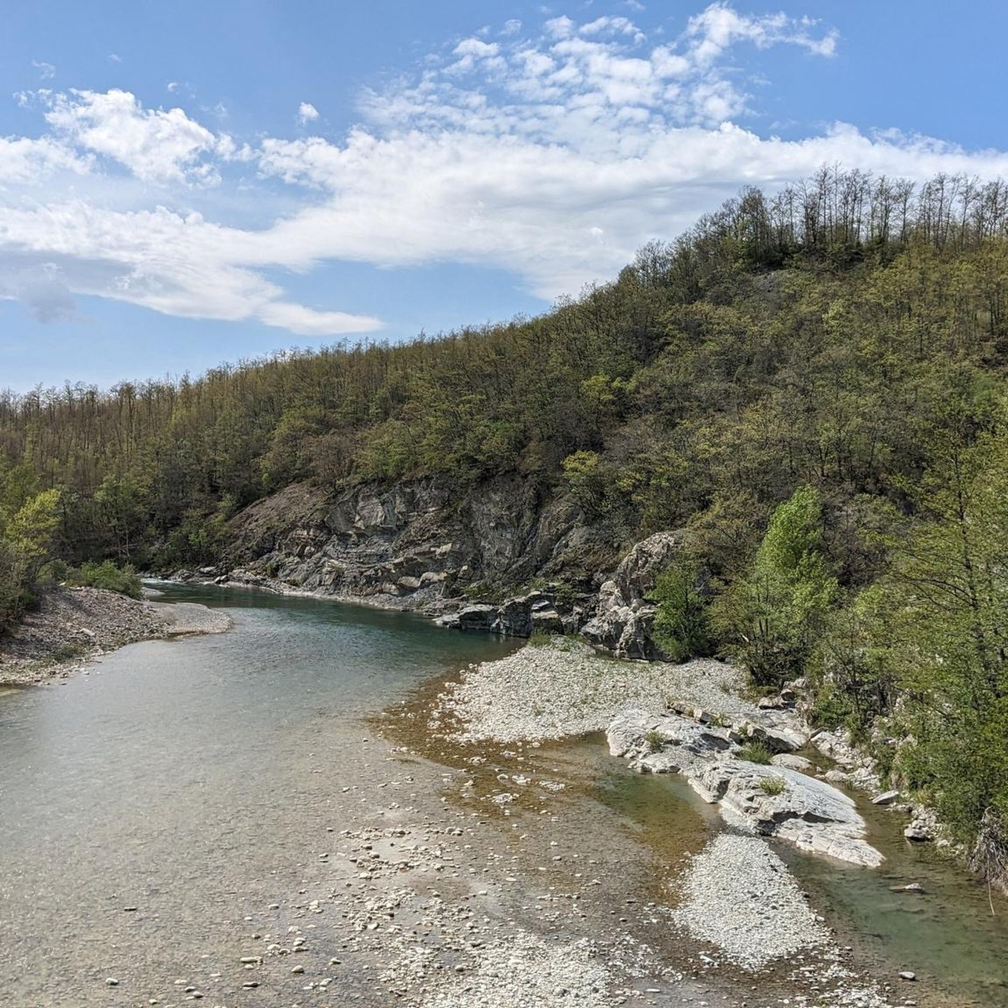
Other adventures around Valmozzola

Tips from the Community

Bar and hostel, great after the long climb
0
0

You find it while riding the Appennino bike tour
2
0
During the Appennino bike tour, a short detour is necessary to enter the historic center of the town. But it is absolutely worth it.
2
0

Berceto is an ancient and charming Apennine village located at 852 meters above sea level in the province of Parma, in the heart of Emilia-Romagna. It has just under 2,000 inhabitants and is historically renowned for being the last stage of the Via Francigena in the Emilian territory before the Cisa Pass, which leads towards Tuscany.
0
0
The Passo della Cisa is a mountain pass in the Tuscan-Emilian Apennines, located at 1,041 meters above sea level, which serves as the geographical and historical border between the provinces of Parma (Emilia-Romagna) and Massa-Carrara (Tuscany). It formally separates the Ligurian Apennines from the Tuscan-Emilian Apennines, connecting the upper Val di Taro with Lunigiana. Strada Statale 62: The SS 62 della Cisa is the historic panoramic road that crosses the pass, famous among motorcyclists and cyclists for its hairpin bends and evocative views. Slopes: The Tuscan side from Pontremoli is 18 km long with slopes up to 8.5%, while the Emilian side from Ghiare di Berceto measures approximately 19.6 km with slopes up to 8%.
0
0

IN springDefinitely worth a visit
0
0
Definitely to do, fantastic road
0
0
To the left you turn for mount Valoria. To be done
1
0
Frequently Asked Questions
How many road cycling routes are available around Valmozzola?
Valmozzola offers a wide selection of road cycling routes, with over 90 tours available on komoot. These routes cater to various skill levels, from moderate loops to challenging long-distance rides through the Apennine foothills.
Are there road cycling routes suitable for beginners or families in Valmozzola?
While Valmozzola is known for its significant elevation changes and challenging mountain passes, there are routes suitable for those seeking a less strenuous experience. For example, the Piscina Vigili, Ostia Station – Vicolo delle Molini, Bedonia loop from Ostia Parmense is a moderate 28.3-mile (45.5 km) path, ideal for a shorter ride.
What kind of terrain can I expect on road cycling routes in Valmozzola?
Road cycling around Valmozzola features a diverse landscape characterized by significant elevation changes. You can expect winding roads through the Apennine foothills, challenging ascents towards mountain passes like Passo della Cisa, and routes that traverse valleys. The terrain varies from moderate loops to difficult, long-distance challenges.
Are there any long-distance or challenging road cycling routes in the Valmozzola area?
Yes, Valmozzola is well-suited for challenging, long-distance road cycling. Routes like Ghiare di Berceto to Vernazza – bike rides to the Italian coast, a 69.8-mile (112.3 km) trail, offer a significant challenge leading towards the Italian coast. Another demanding option is the Passo della Cisa – Historic Center of Pontremoli loop from Berceto, which covers 89.4 miles (143.9 km) through mountain passes.
What are some notable landmarks or scenic viewpoints along the road cycling routes?
Many routes offer stunning views and pass by significant landmarks. You can cycle through mountain passes like Passo della Cisa and Brattello Pass. Some routes also lead past historic sites such as the Bardi Castle or the Sanctuary of Our Lady of the Guard.
Are there any loop routes for road cycling around Valmozzola?
Yes, Valmozzola offers several excellent loop routes. The Piscina Vigili, Ostia Station – Vicolo delle Molini, Bedonia loop from Ostia Parmense is a popular moderate loop. For a more challenging option, consider the Silara Pass – Castello di Corniglio loop from Berceto or the Cassio on the Via Francigena – Passo della Cisa loop from Berceto.
What is the best time of year for road cycling in Valmozzola?
Given the region's mountainous terrain and proximity to the Apennines, spring and autumn generally offer the most pleasant conditions for road cycling, with milder temperatures and beautiful scenery. Summer can also be suitable, especially at higher elevations, but be prepared for potentially warmer weather in the valleys. Winter often brings snow to the passes, making road cycling challenging or impossible.
What do other road cyclists enjoy most about road cycling in Valmozzola?
The area is highly rated by the komoot community, with an average score of 4.2 stars from over 70 reviews. Road cyclists often praise the varied terrain, from challenging climbs to scenic descents, and the opportunity to explore mountain passes and connect to coastal areas. The extensive network of routes caters to different ability levels, making it a popular destination.
Can I find routes that connect Valmozzola to the Italian coast?
Absolutely. Valmozzola's strategic location allows for road cycling routes that extend towards the Italian coast. A prime example is the challenging Ghiare di Berceto to Vernazza – bike rides to the Italian coast, offering a long-distance journey from the Apennines to the Ligurian Sea.
What are the typical distances and durations for road cycling routes in Valmozzola?
Routes vary significantly in length and duration. Moderate loops might be around 28 miles (45 km) and take a few hours, while more difficult routes, such as the 89-mile (143 km) Passo della Cisa – Historic Center of Pontremoli loop from Berceto, can take over 7 hours to complete. There are options for both shorter rides and full-day adventures.
Most popular attractions around Valmozzola

Get inspired with the komoot mobile app


Explore more
Browse the best Road cycling routes in other regions.
