The best road cycling routes around Bellino
5.0
(22)
1,713
riders
14
rides
Road cycling routes around Bellino are situated in Italy's Piedmont region, characterized by mountainous landscapes and significant elevation gains. The area features renowned mountain passes such as Col Agnel and Sampeyre Pass, offering demanding climbs and descents. Bellino is nestled within the upper Varaita Valley, providing challenging terrain for road cyclists. The region's geography includes numerous mountain peaks and expansive forests, contributing to varied cycling experiences.
Best road cycling routes around Bellino
- The most popular road cycling route is Chianale Village – Lac de Pontechianale loop from Col Agnel / Colle dell'Agnello, a 21.7 miles (34.9 km) trail that takes 2 hours 30 minutes to complete. This difficult route features significant elevation gain through high mountain pass scenery.
- Another top favourite among local road cyclists is Sampeyre Pass – View of Monte Viso loop from Prazzo, a difficult 35.9 miles (57.9 km) path. This route leads through mountainous terrain with views of Monte Viso.
- Local road cyclists also love the Sampeyre Pass – Pian Pietro loop from Colle di Sampeyre, a 58.1 miles (93.6 km) trail leading through high mountain passes and deep valleys, often completed in about 6 hours 37 minutes.
- Road cycling around Bellino is defined by high mountain passes, deep valleys, and extensive forests. The network offers options for different ability levels, though many routes require good to very good fitness.
- The routes in Bellino are highly rated by the komoot community with an average score of 5.0 stars from over 18 reviews. More than 1,000 road cyclists have used komoot to explore Bellino's varied terrain.
Last updated: July 1, 2026
5.0
(5)
293
riders
34.9km
02:29
1,260m
1,260m
Hard road ride. Very good fitness required. Mostly well-paved surfaces and easy to ride.
5.0
(4)
192
riders
39.5km
02:59
1,600m
1,600m
Hard road ride. Very good fitness required. Mostly well-paved surfaces and easy to ride.

Sign up for free
4.5
(4)
173
riders
49.3km
03:32
1,610m
1,610m
Hard road ride. Very good fitness required. Mostly well-paved surfaces and easy to ride.
58
riders
93.6km
06:37
2,730m
2,730m
Hard road ride. Very good fitness required. Some segments of this route may be unpaved and difficult to ride.
5.0
(2)
47
riders
75.0km
04:55
2,250m
2,250m
Hard road ride. Very good fitness required. Mostly well-paved surfaces and easy to ride.
Get access to more routes and recommendations from other explorers.
Sign up for free
Already have an account?
Our route recommendations are based on thousands of hikes, rides, and runs completed by other people on komoot.
Start today with a free account
Your next adventure awaits.
Login or Signup
Popular around Bellino

GTA South Piedmont — Hiking in Italy's Occitan valleys
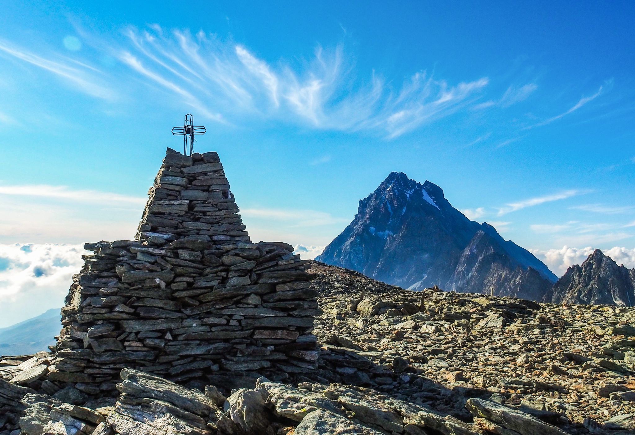
Where birds of prey swoop – 8 peaks over 3,000 metres in Monviso
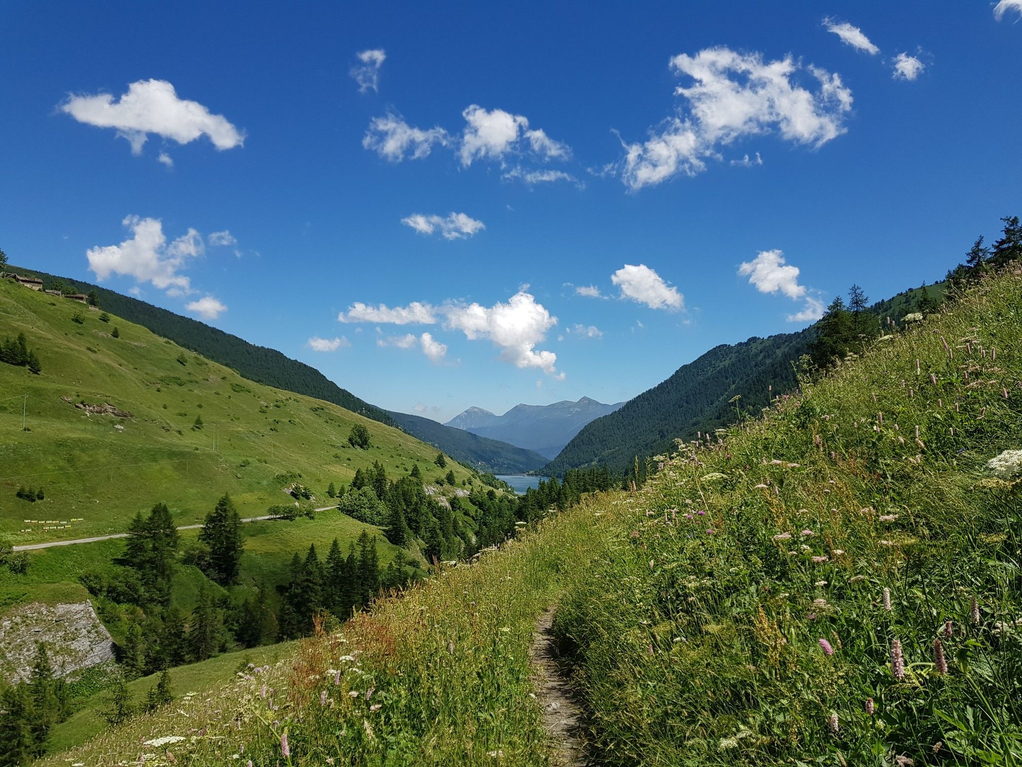
Varaita Valley Trekking – a journey into the lands of Italy’s Monviso
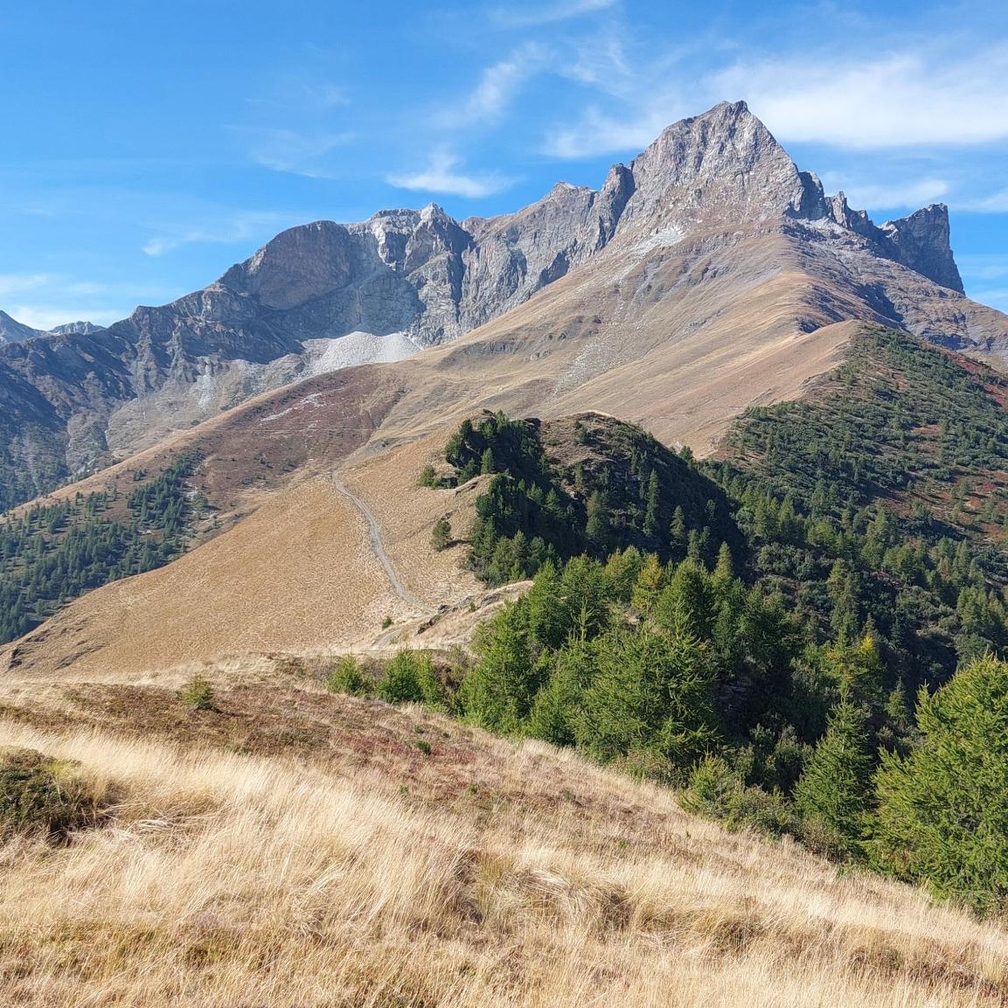
Hiking around Bellino
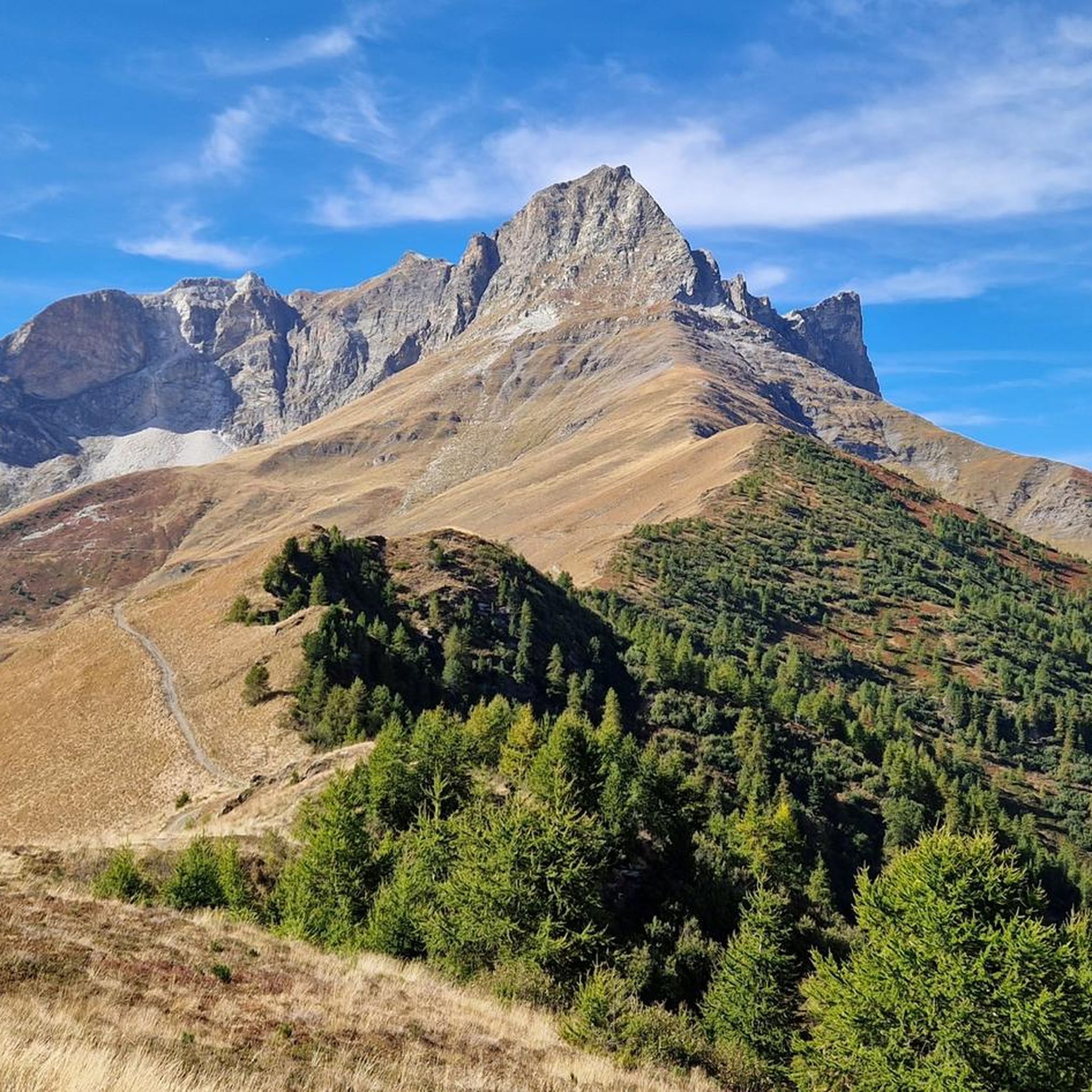
Cycling around Bellino
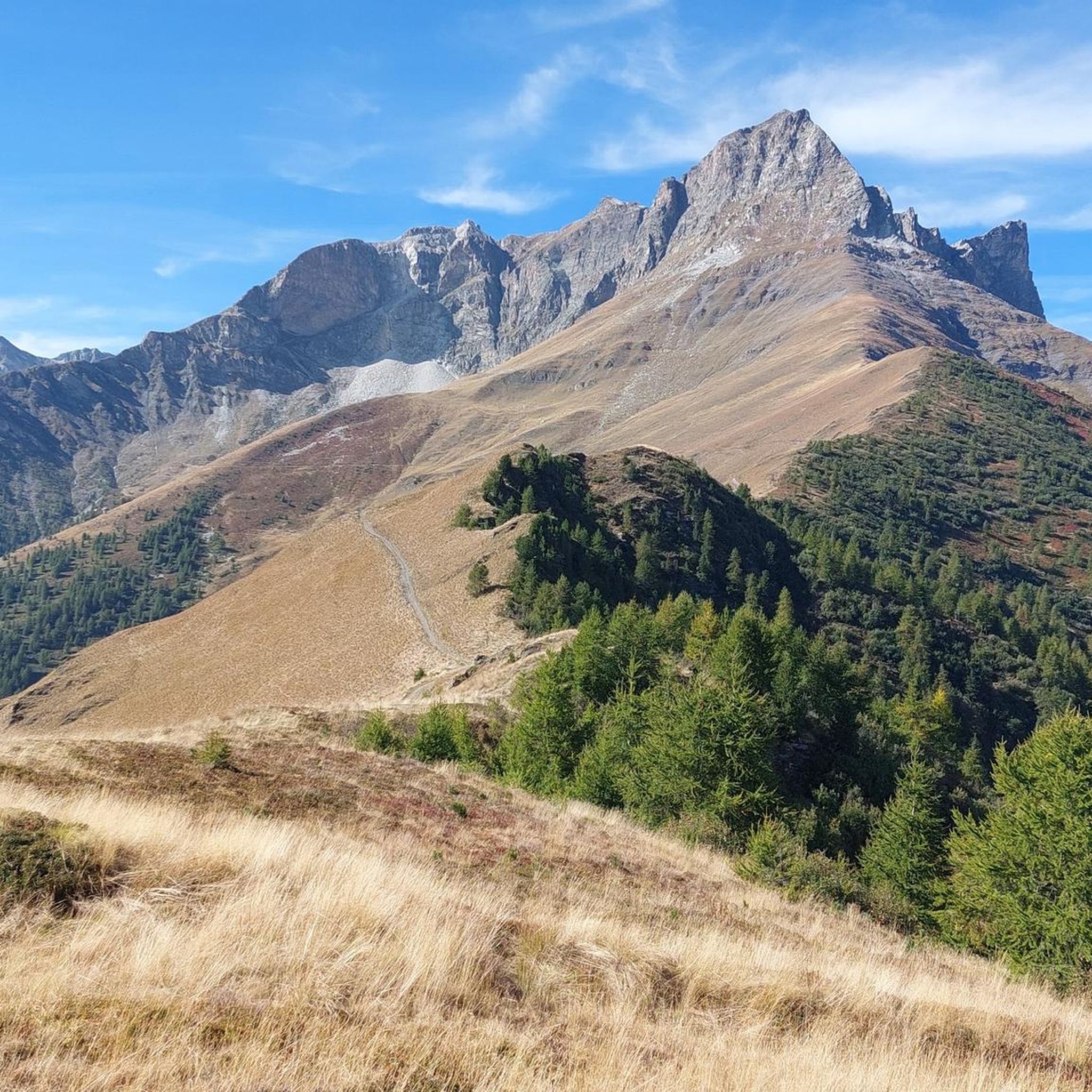
MTB Trails around Bellino
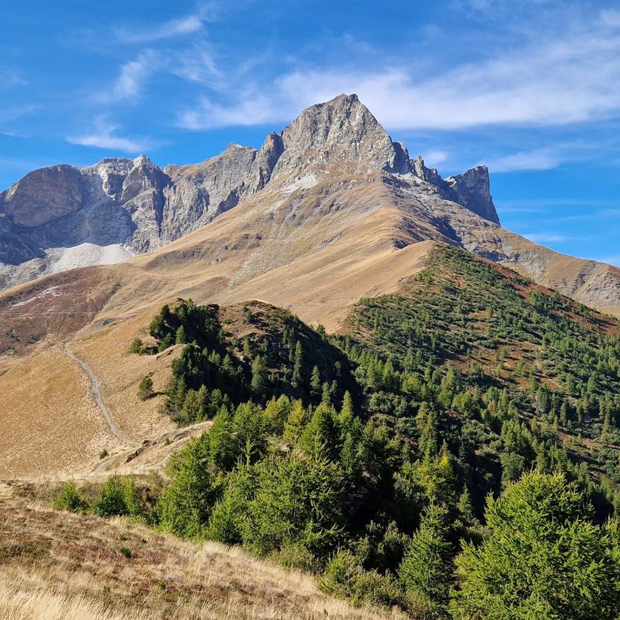
Running Trails around Bellino
Mountain Hikes around Bellino

Gravel biking around Bellino
Other adventures around Bellino

Tips from the Community

Hamlet on the provincial road, which is usually passed through quickly, but where it is worth stopping. The hamlet lives around the memory of Alessandro Riberi, a 19th-century doctor and politician, remembered for being Carlo Alberto's personal physician, but above all for being one of the main proponents of the use of anesthesia in surgery - and for that alone he would deserve a monument. Which exists, and is interesting. Opposite, also very interesting, is the hospital dedicated to him.
0
0
Beautiful village that the provincial road completely bypasses, but which is worth entering for a more in-depth visit. Of particular interest: the small square with the chapel and the old oven (still functioning and in use), the wash fountain, and a beautiful fresco of Saint Joseph with the Child Jesus on the facade of a house.
0
0
Country crossed by the provincial road, on which it offers several points of interest - but it is worth leaving the provincial road and venturing into the narrow streets, where you will discover very interesting views, such as the church in a summit position and a 16th-century fountain.
0
0
Beautiful village on the road between Sampeyre and Casteldelfino. Right at the entrance, a pretty little church greets you, then a small square with a drinking fountain and a beautiful wooden statue. The rest is made up of beautiful, well-restored houses. Worth a visit.
0
0
Frazione di Pontechianale in correspondence with the dam. The highlight is the view of the Pontechianale lake - but the church and the fountain are also worth attention.
0
0
Registered among the most beautiful villages in Italy, and for good reason. A pearl set in the majestic scenery of the Cottian Alps, all restored and cleaned up. A dream village.
0
0

From here you can enjoy a breathtaking view, both towards Italy and France. Unfortunately, I caught it during roadwork and resurfacing, but I'd be curious to see it once it's finished.
0
0

Colle dell'Agnello (2,744 meters above sea level - Col Agnel in French; Còl dl'Agnél in Piedmontese) is an Alpine pass in the Cottian Alps (Monviso Alps), as well as the second-highest road pass in Italy and the third-highest in Europe [N 2], preceded only by the Colle dell'Iseran [N 3] in the French Alps and the Stelvio Pass in the Ortler Alps. Located southwest of Monviso, between Pan di Zucchero and Punta dell'Alp, it connects Italy to France from the Piedmontese municipality of Pontechianale to the French municipality of Molines-en-Queyras in the Hautes-Alpes department [N 4]. It was inaugurated in 1973 by expanding a pre-existing dirt military road; It has been a transit point for several stages of the Giro d'Italia and the Tour de France and a popular destination for summer camps for amateur astronomers, offering one of the observation sites with the darkest, most pristine sky and accessible by normal vehicles.
0
0
Frequently Asked Questions
What level of fitness is generally required for road cycling in Bellino?
Road cycling routes around Bellino are known for their mountainous landscapes and significant elevation gains. Many routes require good to very good fitness due to the demanding climbs and descents, especially when tackling renowned mountain passes like Col Agnel and Sampeyre Pass.
Are there any road cycling routes around Bellino suitable for beginners or those looking for less challenging rides?
While many routes in Bellino feature substantial elevation gains, the region does offer a variety of options. However, the available data indicates that most routes are classified as 'difficult' or 'moderate', with no 'easy' routes listed. Cyclists new to the area should be prepared for climbs and descents, even on moderate trails.
What kind of natural features and landmarks can I expect to see while road cycling in Bellino?
Bellino's routes offer breathtaking natural beauty. You'll encounter majestic mountain peaks, including the Pelvo d'Elva, and expansive forests like the Alevé forest, which is Italy's largest pine forest. Notable attractions include the Bagnour Hut and Lake Bagnour, and the Source of the Maira. The routes also traverse the picturesque upper Varaita Valley.
What are the road conditions like on the major passes around Bellino?
The road conditions on major passes like Col Agnel, Sampeyre Pass, and Colle d'Esischie are generally well-maintained for cycling, but cyclists should always be prepared for mountain road characteristics, including varying surfaces, potential debris, and sharp turns. These passes are known for their challenging climbs and descents.
When is the best time of year for road cycling in Bellino?
The best time for road cycling in Bellino is typically during the warmer months, from late spring through early autumn (roughly May to October). During this period, mountain passes are generally clear of snow, and the weather is more favorable. Always check local weather forecasts and road conditions before heading out, especially for high-altitude passes which can have seasonal closures.
Are there any specific road closures I should be aware of when planning a ride?
High mountain passes such as Col Agnel, Sampeyre Pass, and Colle d'Esischie are often subject to seasonal closures due to snow, typically from late autumn to late spring. It's crucial to check current road status before planning your trip, as conditions can change rapidly in mountainous terrain.
Are there any loop routes available for road cyclists in Bellino?
Yes, Bellino offers several challenging loop routes. For example, the Chianale Village – Lac de Pontechianale loop from Col Agnel / Colle dell'Agnello is a 34.9 km ride, and the Col Agnel / Colle dell'Agnello – Aigue Agnelle Valley loop covers 42.7 km. Another option is the Colle d'Esischie – Colle del Vallonetto loop from Acceglio, spanning 62.0 km.
What do other road cyclists say about their experience in Bellino?
The road cycling routes around Bellino are highly rated by the komoot community, with an average score of 4.9 stars from over 30 reviews. Cyclists often praise the challenging climbs, the stunning panoramic views from the mountain passes, and the overall natural beauty of the Varaita Valley.
Are there any specific viewpoints or scenic spots along the road cycling routes?
Many routes offer spectacular views, particularly from the high mountain passes. The Sampeyre Pass – View of Monte Viso loop from Prazzo, for instance, provides impressive vistas of Monte Viso. The entire region, with its numerous peaks and deep valleys, is rich with scenic overlooks.
Is public transport available to Bellino for cyclists with bikes?
While Bellino is a somewhat remote mountain municipality, public transport options to the Varaita Valley exist, though they may be limited and require checking specific services for bike transport availability. It's advisable to research local bus services or private transfer options in advance if you plan to use public transport with your bike.
Where can I find parking for road cycling routes in Bellino?
Parking is generally available in and around the villages that serve as starting points for routes, such as Prazzo or Acceglio. Specific parking areas for cyclists may vary, so it's recommended to check the details for your chosen route's trailhead on komoot or local information boards.
Are there any cafes or places to stop for refreshments along the road cycling routes?
While the routes traverse mountainous and sometimes remote terrain, you can often find cafes, restaurants, or refuges in the villages or at the passes, especially during peak season. For example, the Bagnour Hut near Lake Bagnour could be a stop if your route passes nearby. It's always wise to carry sufficient water and snacks, as services can be sparse between towns.
Most popular attractions around Bellino

Get inspired with the komoot mobile app


Explore more
Browse the best Road cycling routes in other regions.
