The best walks and hikes around Castelnuovo Rangone
4.2
(142)
1,179
hikers
30
hikes
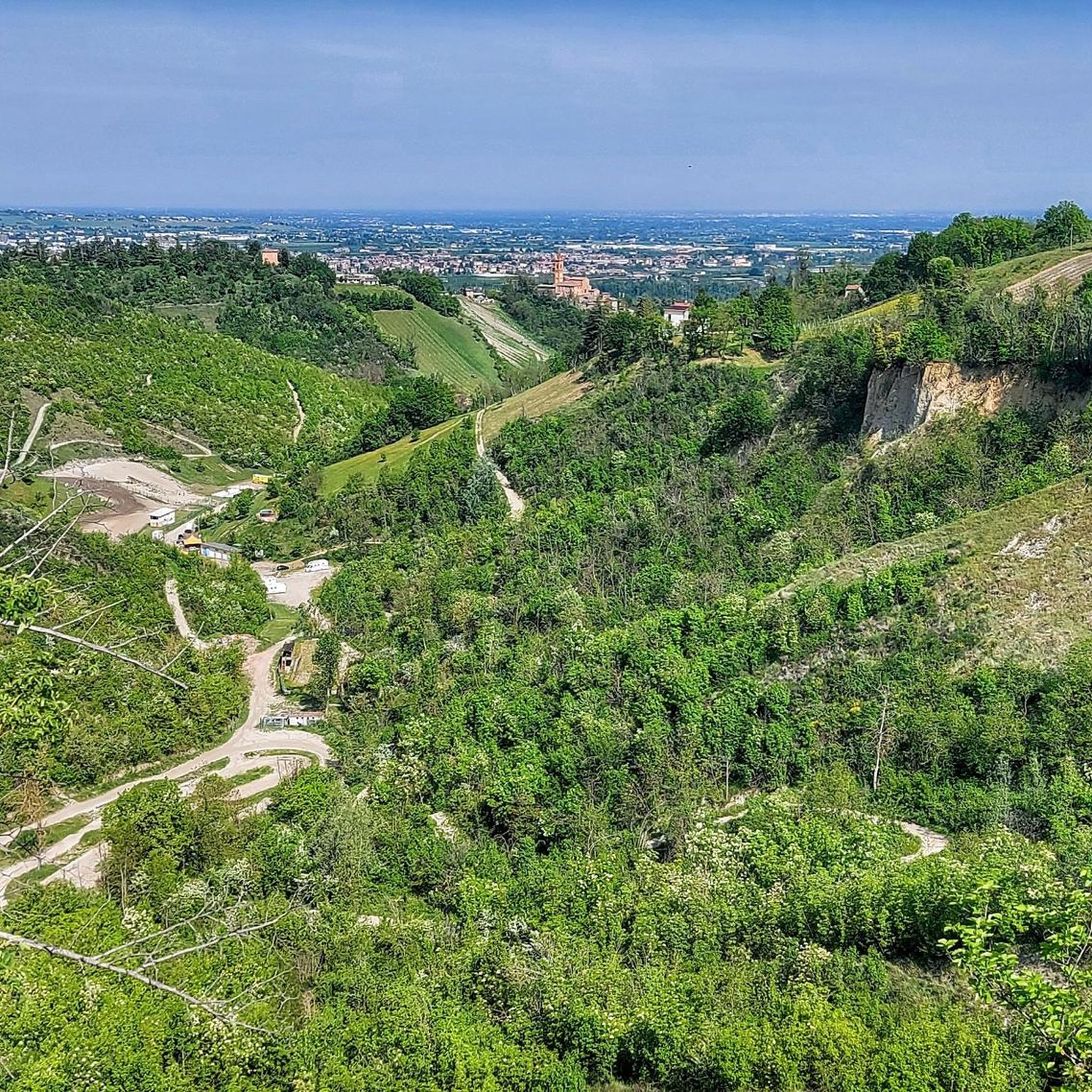
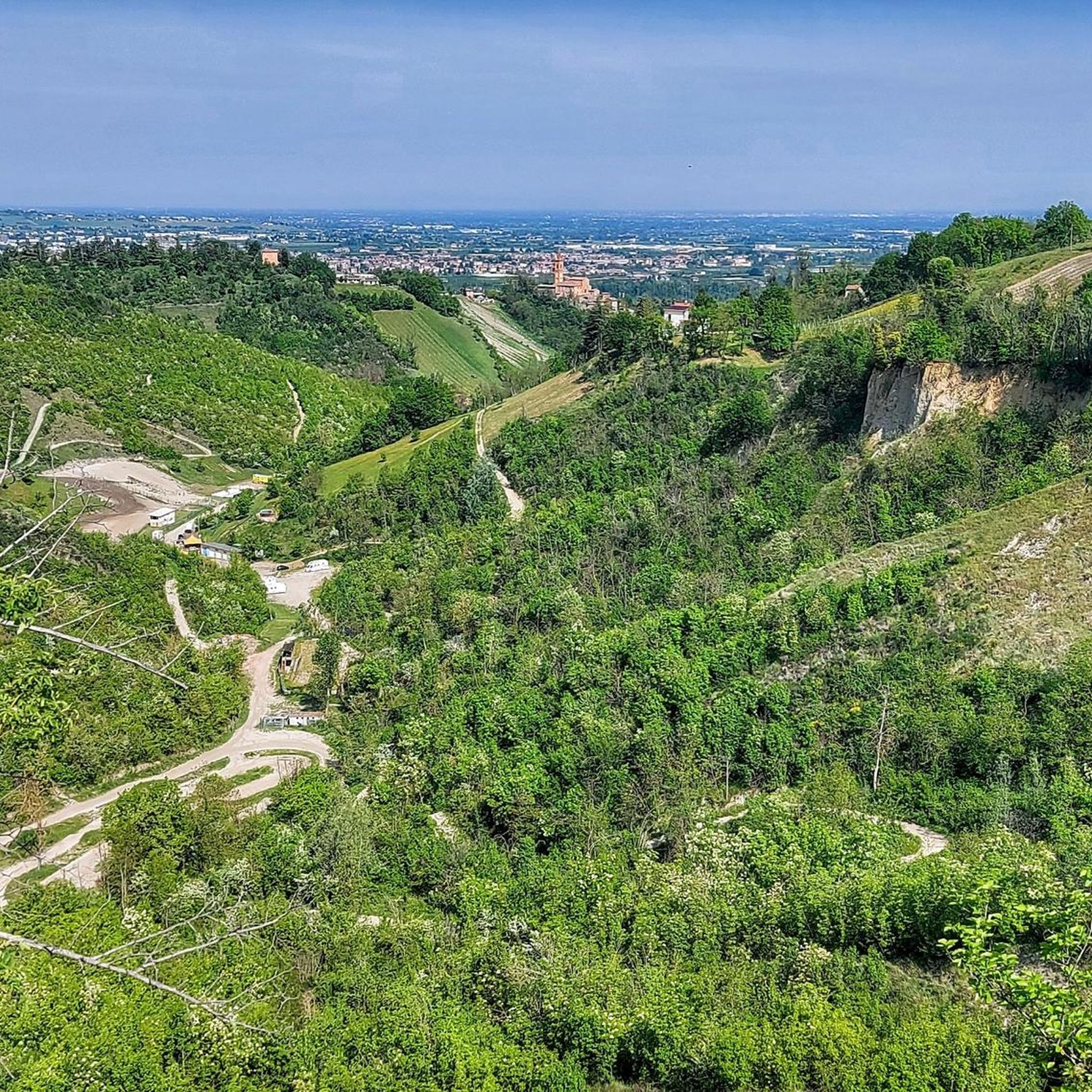
Hiking around Castelnuovo Rangone, situated in the high floodplain southeast of Modena, offers a variety of outdoor activities. The region is characterized by diverse hiking trails, numerous green spaces, and river landscapes. These trails provide opportunities to experience nature, blending natural exploration with historical elements.
Best hiking trails around Castelnuovo Rangone
- The most popular hiking route is Bridge over the Tiepido Stream – Start of Percorso Tiepido loop from Montale Rangone, a 4.4 miles (7.0 km) trail that takes…
Last updated: July 1, 2026
3.8
(5)
49
hikers
Easy hike. Great for any fitness level. Easily-accessible paths. Suitable for all skill levels.
4.3
(3)
17
hikers
Easy hike. Great for any fitness level. Easily-accessible paths. Suitable for all skill levels.

Sign up for free
5.0
(2)
14
hikers
Moderate hike. Good fitness required. Easily-accessible paths. Suitable for all skill levels.
5.0
(1)
16
hikers
6.46km
01:39
20m
20m
Easy hike. Great for any fitness level. Easily-accessible paths. Suitable for all skill levels.
8
hikers
6.75km
01:43
20m
20m
Easy hike. Great for any fitness level. Easily-accessible paths. Suitable for all skill levels.
Get access to more routes and recommendations from other explorers.
Sign up for free
Already have an account?
Our route recommendations are based on thousands of hikes, rides, and runs completed by other people on komoot.
Start today with a free account
Your next adventure awaits.
Login or Signup

Tips from the Community

be careful when crossing other bicycles in the opposite direction, due to the limited width of the bridge
1
0

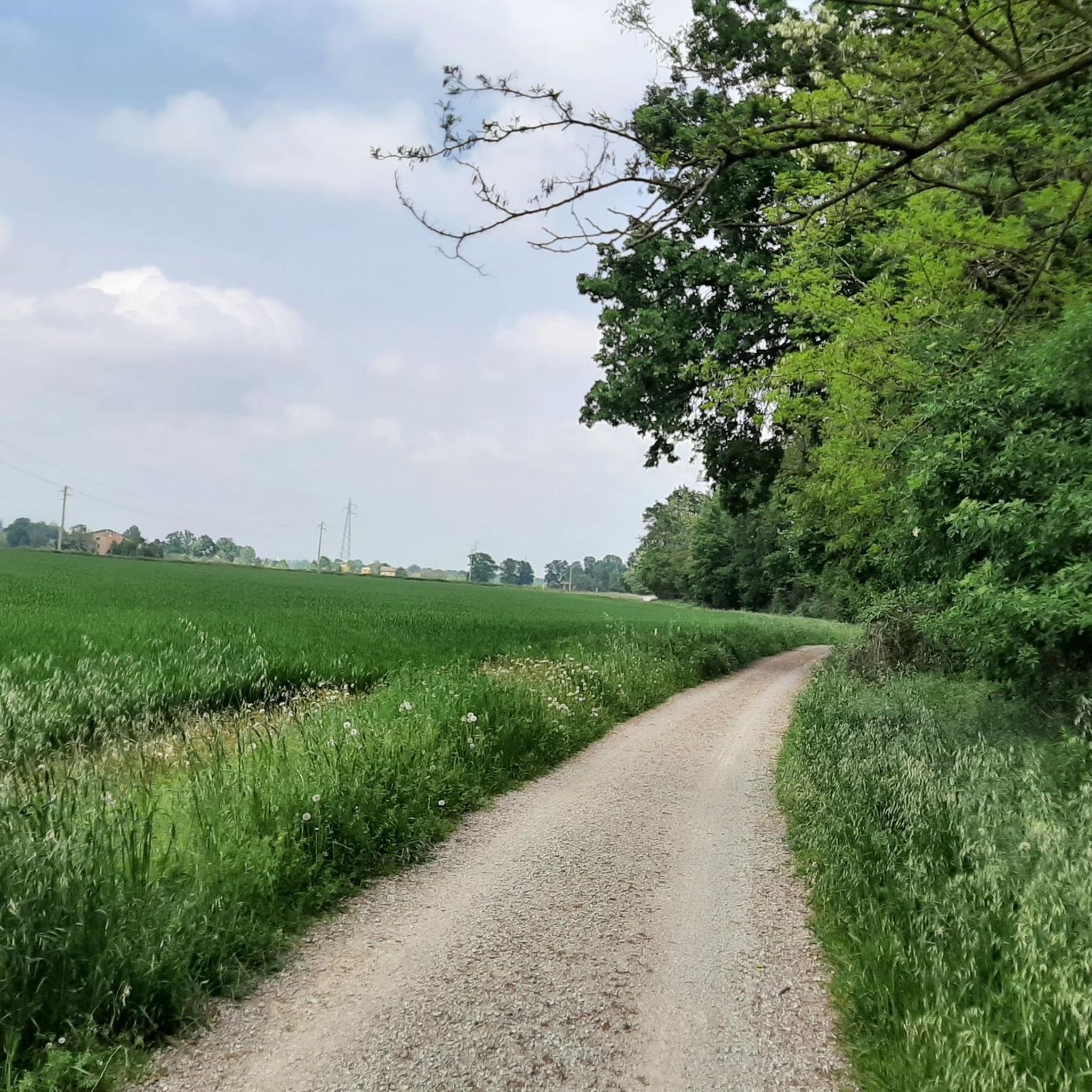
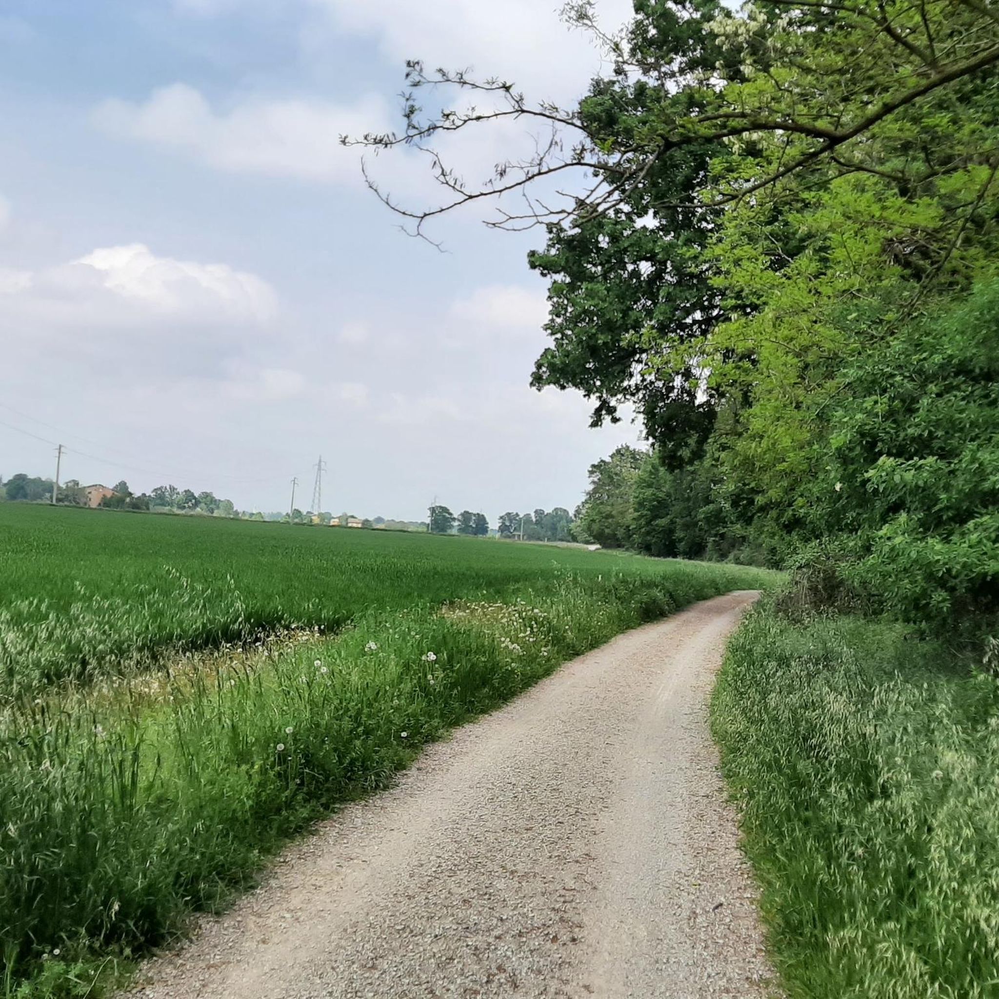
following the cycle path you cross this very nice wooden bridge that crosses the Tiepido
0
0
Beautiful to see, you cross it numerous times a year to get to the first hills and vice versa
2
0

Be careful on the path towards Torre Maina, closed due to a landslide near the Golf Club.
0
0


During the summer, the Tiepido torrent is dry, but in the spring it is particularly beautiful with its lush greenery and flowing water. This wooden bridge crosses the stream, offering an enchanting view.
3
0
Bridge for crossing the river Tiepido, located in Castelnuovo Rangone, on the cycle path that connects Montale Rangone to Castelnuovo, however, allows passage in alternate directions as it is rather narrow.
1
0
Frequently Asked Questions
What types of hiking trails can I find around Castelnuovo Rangone?
Castelnuovo Rangone offers a diverse range of hiking trails suitable for various fitness levels. You can find easy walks, moderate hikes, and more challenging routes. Many trails follow river landscapes, such as those along the Tiepido Stream, and some incorporate historical elements or pass through green spaces.
Are there any easy or family-friendly hiking options in Castelnuovo Rangone?
Yes, there are plenty of easy options perfect for families or those seeking a relaxed stroll. For instance, the Bridge over the Tiepido Stream – Start of Percorso Tiepido loop from Montale Rangone is an easy 7 km trail with minimal elevation gain. The area also features green spaces like Parco Rio Gamberi and Parco Sandro Pertini, ideal for leisurely walks.
What natural features or landmarks can I expect to see while hiking in the region?
Hikers can explore diverse river landscapes, particularly along the Tiepido and Panaro rivers, which feature varied flora and historical structures. You might also encounter green spaces and parks within the municipal area. For specific natural highlights, consider exploring the Nature Trail of the Secchia River Expansion Reserve or the Ponds of the Tritons Trail.
Are there any challenging hikes for experienced trekkers?
Yes, for those seeking a more demanding experience, there are challenging routes available. An example is the Start of Percorso Tiepido – Bridge over the Tiepido Stream loop from Castelnuovo Rangone, a difficult 21.4 km trail with over 100 meters of elevation gain. These routes typically require good physical condition and appropriate footwear.
Are there circular hiking routes available in Castelnuovo Rangone?
Many of the trails in Castelnuovo Rangone are designed as loops, offering convenient circular routes. For example, the Bridge over the Tiepido Stream – Unpaved Trail loop from Modena is a moderate 8.2 km circular path, and the Bridge over the Tiepido River – Ponte di Ferro loop from Modena is an easy 6.4 km loop.
What is the terrain like on the hiking trails around Castelnuovo Rangone?
The terrain varies, ranging from paved paths in urban green spaces to unpaved trails along riverbanks and through natural areas. The region is situated in a high floodplain, so while some routes have minimal elevation, others can feature more varied surfaces and slight inclines, especially on longer trails.
What do other hikers say about the trails in Castelnuovo Rangone?
The hiking routes in Castelnuovo Rangone are highly regarded by the komoot community, with an average rating of 4.3 stars from over 120 reviews. Hikers often praise the diverse terrain, the peaceful river landscapes, and the accessibility of trails for various skill levels.
Can I combine hiking with cultural or historical exploration in Castelnuovo Rangone?
Absolutely. The broader 'Terre di Castelli' region, which includes Castelnuovo Rangone, features itineraries that blend nature, culture, and history. You can explore historical villages and sites along some routes. The Terramara di Montale Archaeological Park also offers a unique cultural walk amidst ancient Bronze Age settings.
Is there public transport access to the hiking trailheads?
While specific public transport details for each trailhead are best checked locally, Castelnuovo Rangone is a well-connected town. For broader travel information to the region, you might find resources on the official tourism site for Modena: VisitModena.it.
Are there any specific attractions or points of interest near the hiking routes?
Beyond the trails themselves, you can find several points of interest. The Ducal Estense Garden offers a beautiful setting for a stroll, and the Panaro River Flood Basins provide interesting natural scenery. For those interested in cycling, the Jack Kerouac Bike Path also offers a scenic route that can be walked.
What is the best season to go hiking in Castelnuovo Rangone?
The region is suitable for hiking across multiple seasons. Spring and autumn offer pleasant temperatures and vibrant natural colors, making them ideal. Summer can also be enjoyable, especially on shaded trails or along riverbanks, while winter hiking is possible, though some paths might be less accessible depending on weather conditions.
Most popular routes around Castelnuovo Rangone
Most popular attractions around Castelnuovo Rangone

Get inspired with the komoot mobile app


Explore more
Browse the best Hikes in other regions.
