The best cycling routes around Borgo Val Di Taro
4.6
(68)
908
riders
64
rides
Touring cycling around Borgo Val Di Taro offers diverse terrain within the Tuscan-Ligurian-Emilian Apennines. The region features challenging mountain passes, such as Bocco Pass and Passo di Cento Croci, alongside river valleys like the Taro River. Extensive forests of beech and pine, rolling hills, and meadows characterize the landscape, providing varied routes for cyclists. This area is known for its significant elevation gains, catering to riders seeking demanding climbs and rewarding descents.
Best touring cycling routes around Borgo Val Di Taro
- The most popular touring cycling route is Bocco Pass – Cento Croci Pass loop from Borgo Val di Taro, a difficult 86.9 miles (139.8 km) trail that takes 9 hours 46 minutes to complete. This route features significant elevation gain through two notable mountain passes.
- Another top favourite among local touring cyclists is Bocco Pass – Passo di Cento Croci (1,055 m) loop from Borgo Val di Taro, a difficult 57.5 miles (92.5 km) path. This route offers substantial climbing and panoramic views across the Apennine landscape.
- Local touring cyclists also love the Lunigiana Gravel and Brattello Pass Loop, a difficult 46.6 miles (74.9 km) trail leading through varied terrain including the Brattello Pass, often completed in about 6 hours 12 minutes.
- Touring cycling around Borgo Val Di Taro is defined by mountain passes, river valleys, and extensive forests. The network offers options for different ability levels, from easier paths along the Taro River to challenging mountain ascents.
- The routes in Borgo Val Di Taro are highly rated by the komoot community with an average score of 4.4 stars from more than 50 reviews. More than 900 touring cyclists have used komoot to explore Borgo Val Di Taro's varied terrain.
Last updated: July 7, 2026
4.0
(2)
9
riders
74.9km
06:12
2,060m
2,060m
Cycle the difficult Lunigiana Gravel and Brattello Pass Loop, a 46.6-mile route with 6767 feet of elevation gain through diverse terrain.
4.3
(3)
68
riders
92.5km
06:36
1,750m
1,750m
Hard bike ride. Very good fitness required. Mostly paved surfaces. Suitable for all skill levels.

Sign up for free
5.0
(8)
56
riders
Hard bike ride. Very good fitness required. Mostly paved surfaces. Suitable for all skill levels.
4.7
(3)
53
riders
76.2km
05:06
1,030m
1,030m
Hard bike ride. Very good fitness required. Mostly paved surfaces. Suitable for all skill levels.
39
riders
14.8km
01:00
150m
150m
Easy bike ride. Great for any fitness level. Mostly paved surfaces. Suitable for all skill levels.
Get access to more routes and recommendations from other explorers.
Sign up for free
Already have an account?
Our route recommendations are based on thousands of hikes, rides, and runs completed by other people on komoot.
Start today with a free account
Your next adventure awaits.
Login or Signup
Popular around Borgo Val Di Taro
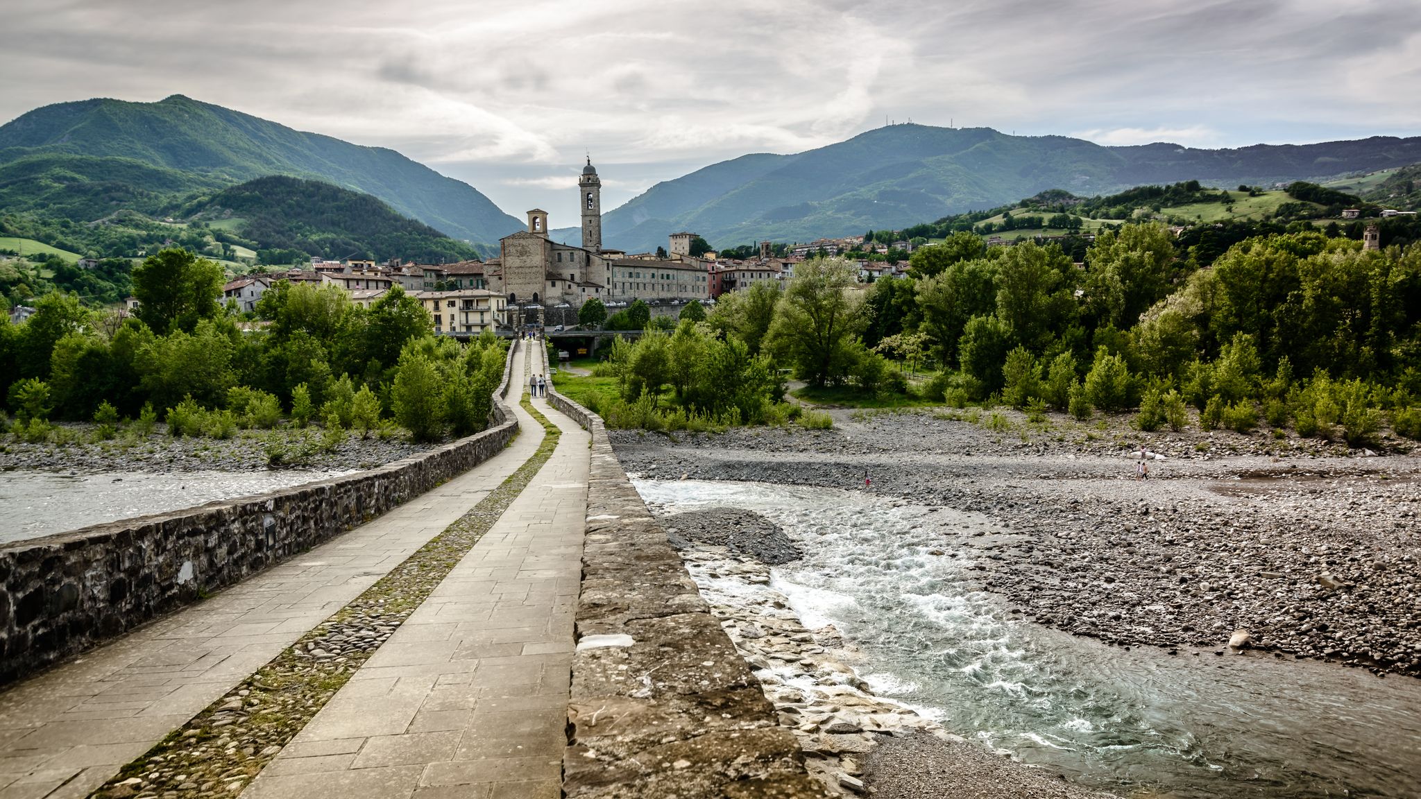
A historic hike from Pavia to Pontremoli – Via degli Abati
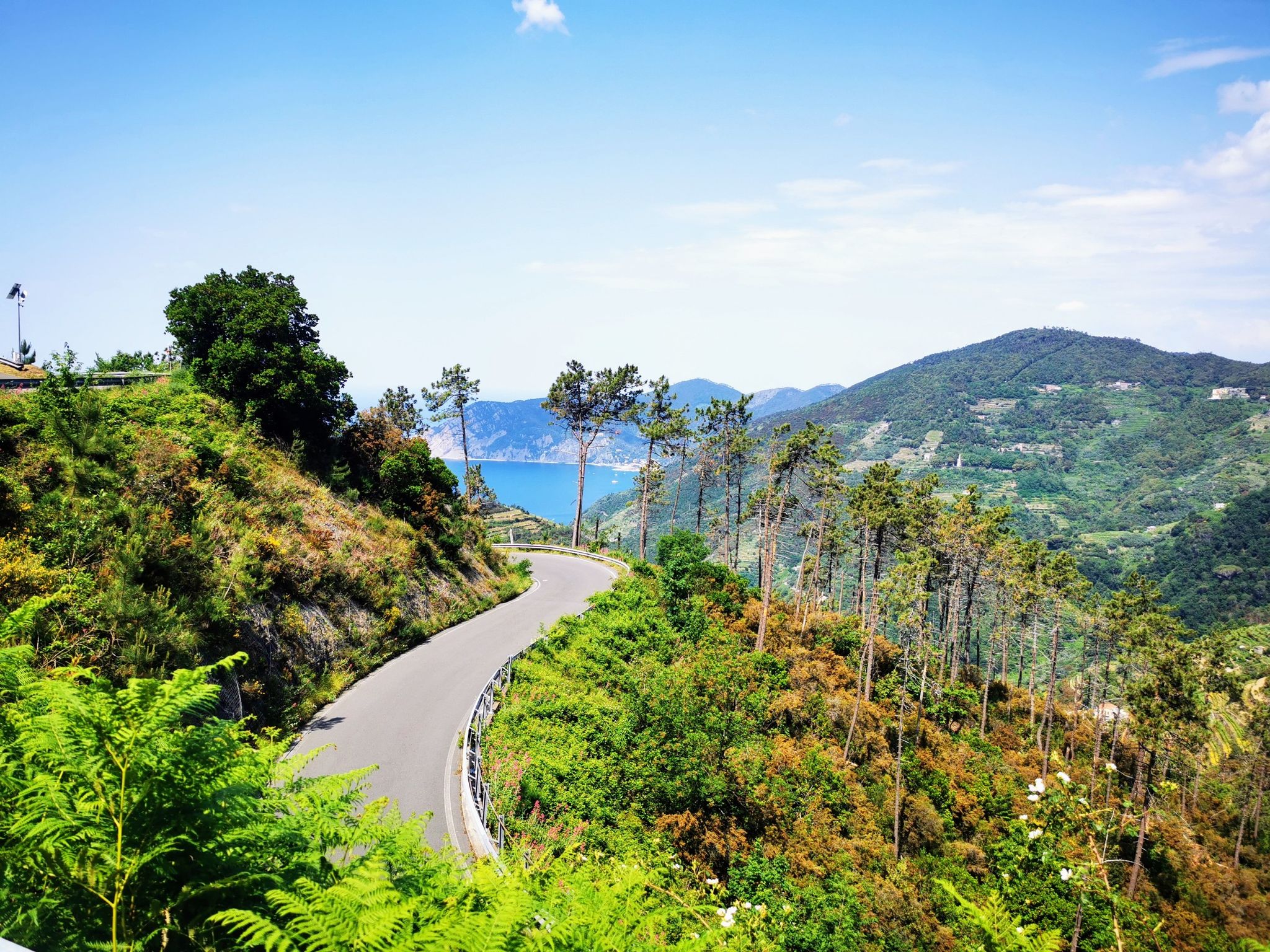
Bike rides to the Italian coast – 10 ways to take a dip
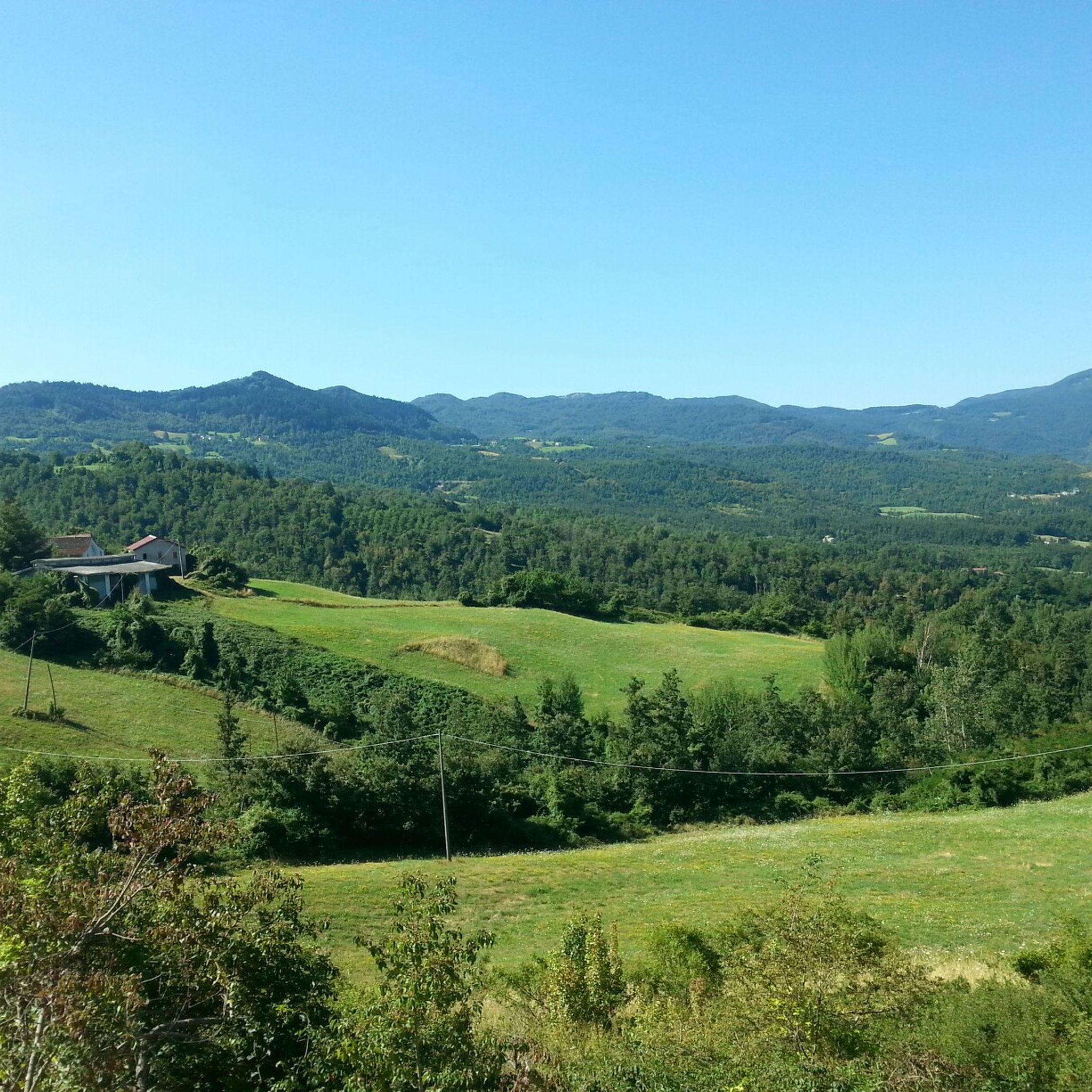
Hiking around Borgo Val Di Taro
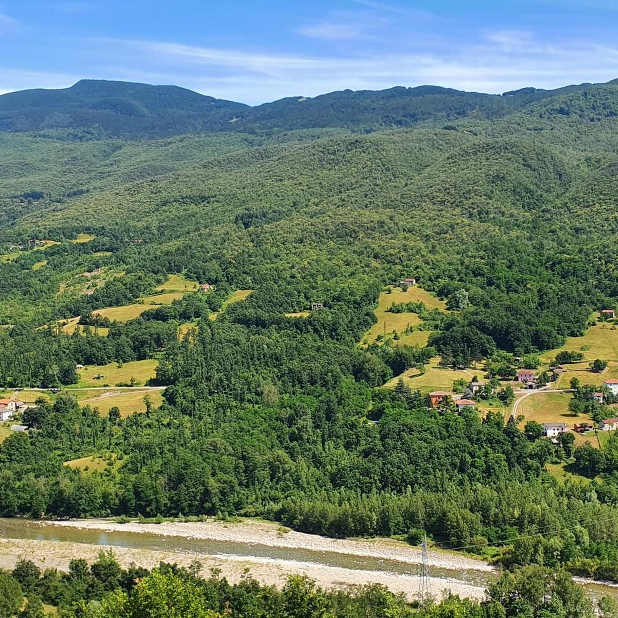
Road Cycling Routes around Borgo Val Di Taro
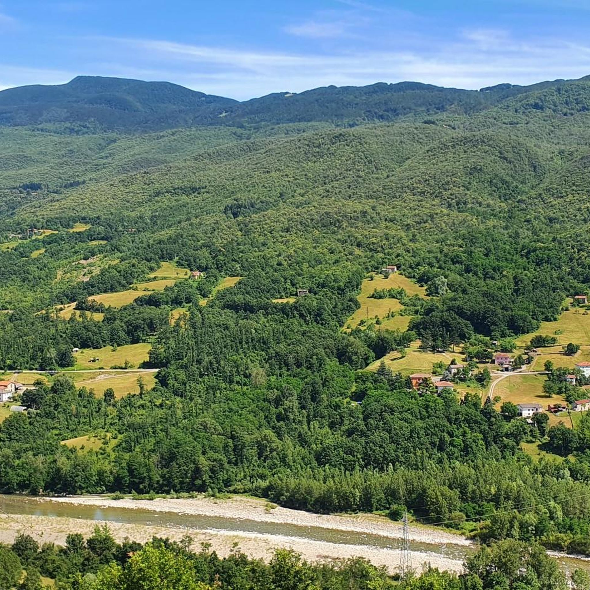
MTB Trails around Borgo Val Di Taro
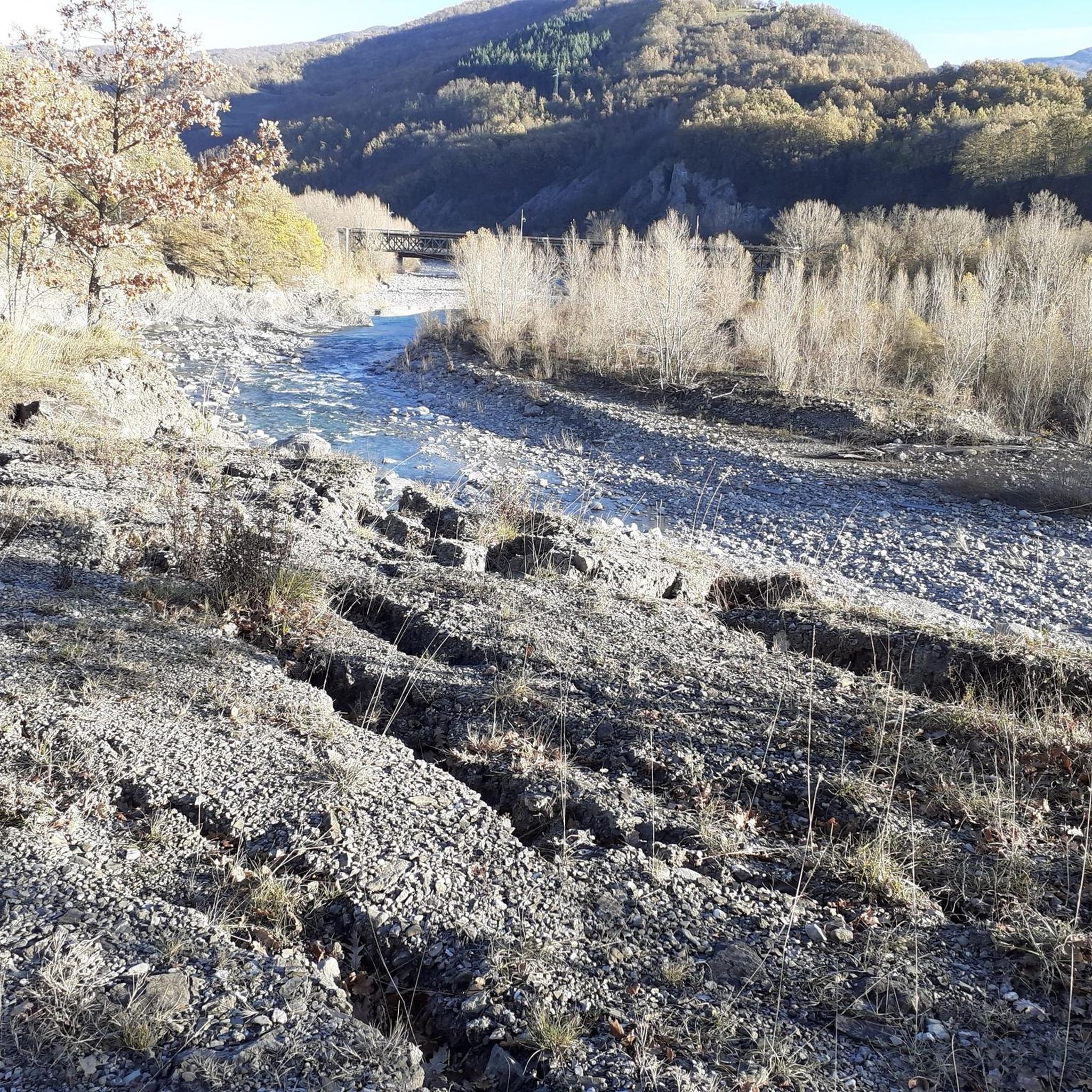
Running Trails around Borgo Val Di Taro
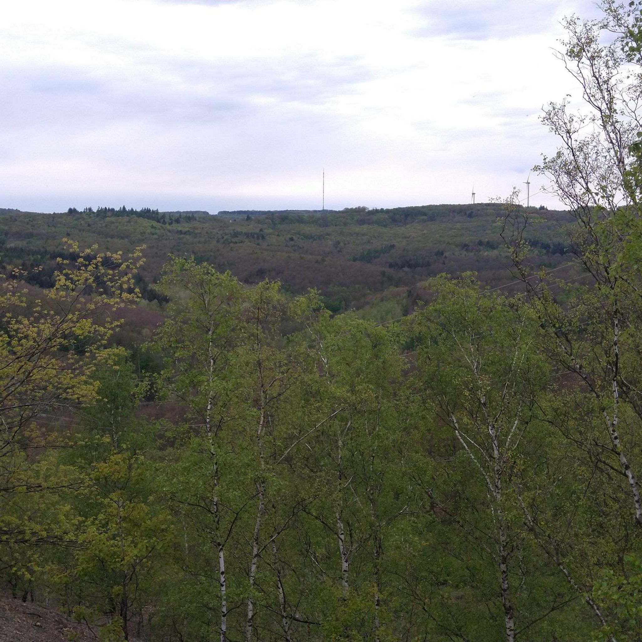
Gravel biking around Borgo Val Di Taro


Tips from the Community

The Passo della Cappelletta (1,085 m a.s.l.) is a charming Apennine pass located on the border between Emilia-Romagna (province of Parma/Piacenza) and Liguria. It is famous for its imposing wind turbines and its proximity to Monte Gottero.
0
0

A beautiful mountain pass at 1,400 meters. There's a refuge, a small chapel, a monument—in short, everything you'd expect in a place like this. There's even a small clothing store. The only thing that's jarring is the constant noise of a combustion engine, which I assume is a generator for the refuge's operation.
0
0

Situated at 717 meters above sea level, Santa Maria del Taro is a hamlet in the municipality of Tornolo (province of Parma), nestled in the heart of the Northern Apennines, near the border between Emilia and Liguria. Since the early Middle Ages, its strategic position along the ancient ridge road connecting the sea to the Po Valley has made it a transit and trade center, as well as a military and commercial control point. The name itself recalls the religious devotion that has permeated the town for centuries: the church-sanctuary dedicated to the Nativity of Mary, rebuilt in neoclassical style between 1807 and 1834, stands on an older structure and has been the spiritual center of the upper Taro Valley for centuries. The building, with its broad façade and stone bell tower, preserves a deep devotional tradition that is still alive. A short walk from the center is the Ponte dei Priori, a medieval humpbacked stone structure that once served as the only permanent access to the valley and symbolically marked the passage between the lands of the Malaspina and Fieschi families, two powerful feudal families of the Apennines. Over the centuries, Santa Maria del Taro has maintained an identity suspended between Emilian and Ligurian culture, evident in the features of its rural architecture, local dialects, and popular customs.
0
0
Situated at 956 meters between the Vara and Aveto Valleys, the Bocco Pass is one of the historic passes of the Ligurian Apennines, used since ancient times as a connection between the Tyrrhenian coast and the Po Valley hinterland. Already in Roman times, it was part of a secondary transit network, but it was especially in the Middle Ages and modern times that the pass assumed a central role in local traffic: a route for merchants, shepherds, and pilgrims, it connected Chiavari and the Riviera with Varese Ligure and the Emilian plains. Traces of the ancient paving are still visible today in the surrounding woods. During the Second World War, the area served as a refuge for partisan groups, thanks to its secluded location and dense forest cover. Today, the pass is a destination for cyclists and hikers, immersed in an unspoiled mountain landscape of beech and fir forests and highland meadows, at the gateway to the Aveto Regional Natural Park.
0
0

The Ponte della Cresa is a stone bridge built in the 14th century and despite the frequent flooding of the Verde river, it has maintained its original structure to this day. The bridge connects the new neighborhoods with the historic center. The bridge is located along the Verde river near Porta San Francesco. Under the arch of this bridge, on January 31, the characteristic fire of San Geminiano takes place. The Ponte della Cresa is considered by many to be the true symbol of the city of Pontremoli. It is also interesting to note that the name Pontremoli derives from the Latin 'Pons Tremulus', which means 'unsafe bridge'. This was a term used to describe the original conurbation of the city.
0
0
Entrance to Pontremoli from Porta San Francesco
0
0

Beautiful path along the river to enjoy nature and relax
0
0

possible excursions both on foot and by bike
0
0
Frequently Asked Questions
How many touring cycling routes are available around Borgo Val Di Taro?
There are over 60 touring cycling routes around Borgo Val Di Taro, offering a wide range of experiences from challenging mountain ascents to more relaxed river valley paths. The komoot community has rated these routes highly, with an average score of 4.4 stars.
What kind of terrain can I expect on touring cycling routes in Borgo Val Di Taro?
The terrain around Borgo Val Di Taro is highly varied, situated within the Tuscan-Ligurian-Emilian Apennines. You'll encounter challenging mountain passes like Bocco Pass and Passo di Cento Croci, extensive forests of beech and pine, rolling hills, and scenic river valleys along the Taro River. Routes can feature significant elevation gains, but also easier paths suitable for a more relaxed ride.
Are there any easy or beginner-friendly touring cycling routes in the area?
While many routes feature significant climbs, easier options exist, particularly along the Taro River. The Ciclovia del Taro, for instance, offers a more relaxed cycling experience within the Parco Fluviale Regionale del Taro, providing flatter sections amidst diverse wildlife and riverine scenery.
What are some challenging touring cycling routes for experienced riders?
Experienced riders seeking a challenge will find numerous routes with substantial elevation gains. For example, the Bocco Pass – Cento Croci Pass loop from Borgo Val di Taro is a difficult 86.9-mile (139.8 km) route with over 2,400 meters of ascent. Another demanding option is the Bocco Pass – Passo di Cento Croci (1,055 m) loop from Borgo Val di Taro, covering 57.5 miles (92.5 km) with over 1,700 meters of climbing.
What natural attractions or landmarks can I see along the touring cycling routes?
The region offers a wealth of natural beauty and historical sites. You can cycle past impressive mountain peaks like Monte Gottero Summit, explore the serene Lago Bozzo or Lago Verde, and discover the protected Ghirardi WWF Oasis and Regional Nature Reserve. Historic sites like Bardi Castle also offer panoramic views of the valleys.
Are there any circular touring cycling routes around Borgo Val Di Taro?
Yes, many touring cycling routes in Borgo Val Di Taro are designed as loops, allowing you to start and finish in the same location. Examples include the Cento Croci Pass – Passo di Cento Croci (1,055 m) loop from Borgo Val di Taro and the Lunigiana Gravel and Brattello Pass Loop, which takes you through varied terrain including Brattello Pass.
What is the best time of year for touring cycling in Borgo Val Di Taro?
The best time for touring cycling in Borgo Val Di Taro is generally from spring through autumn. During these seasons, the weather is more favorable, and the natural landscapes, including forests and river valleys, are particularly vibrant. Summer offers warmer temperatures, while spring and autumn provide cooler, more comfortable riding conditions and stunning seasonal colors.
Can I find cafes or places to stop for refreshments along the routes?
Yes, the region offers opportunities to combine cycling with local gastronomy. While specific cafes on every route may vary, the historical centers of Borgo Val di Taro and Bardi, as well as smaller villages along the way, often provide places to stop for refreshments. The Parma Valleys are also known for their food and wine, so look out for local eateries.
What do other touring cyclists enjoy most about cycling in Borgo Val Di Taro?
The area is highly rated by the komoot community, with an average score of 4.4 stars. Reviewers often praise the diverse terrain, from challenging mountain passes with rewarding descents to the serene beauty of the river valleys and extensive forests. The panoramic views from elevated points and the sense of immersion in nature are frequently highlighted as significant draws.
Are there any routes that offer views of waterfalls or lakes?
Yes, beyond the rivers and mountains, the Val di Taro region features waterfalls and lakes that add to its natural attractions. You can find routes that pass by serene lakes such as Lago Bozzo and Lago Verde, offering picturesque spots for a break or photo opportunity.
Is public transport available to access cycling routes in Borgo Val Di Taro?
Public transport options to access specific trailheads can be limited in mountainous regions. However, Borgo Val di Taro itself is a town that can be reached by public transport, and many routes start directly from or near the town center. For specific access points to the Ciclovia del Taro, you might find information on regional transport services or on sites like italia.it.
Most popular routes around Borgo Val Di Taro
Most popular attractions around Borgo Val Di Taro

Get inspired with the komoot mobile app


Explore more
Browse the best Cycling routes in other regions.
