The best walks and hikes around Tarantasca
4.5
(340)
2,232
hikers
146
hikes
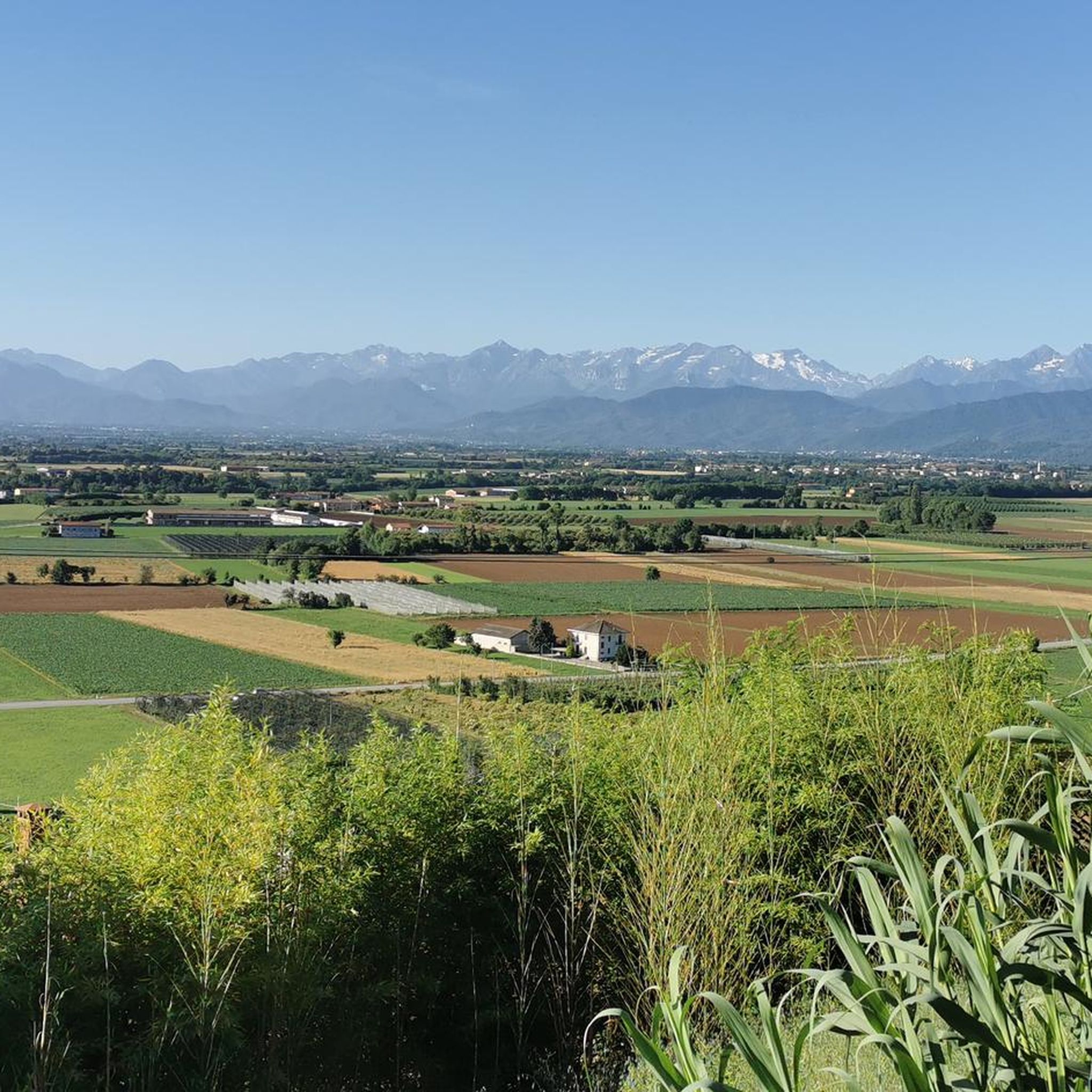
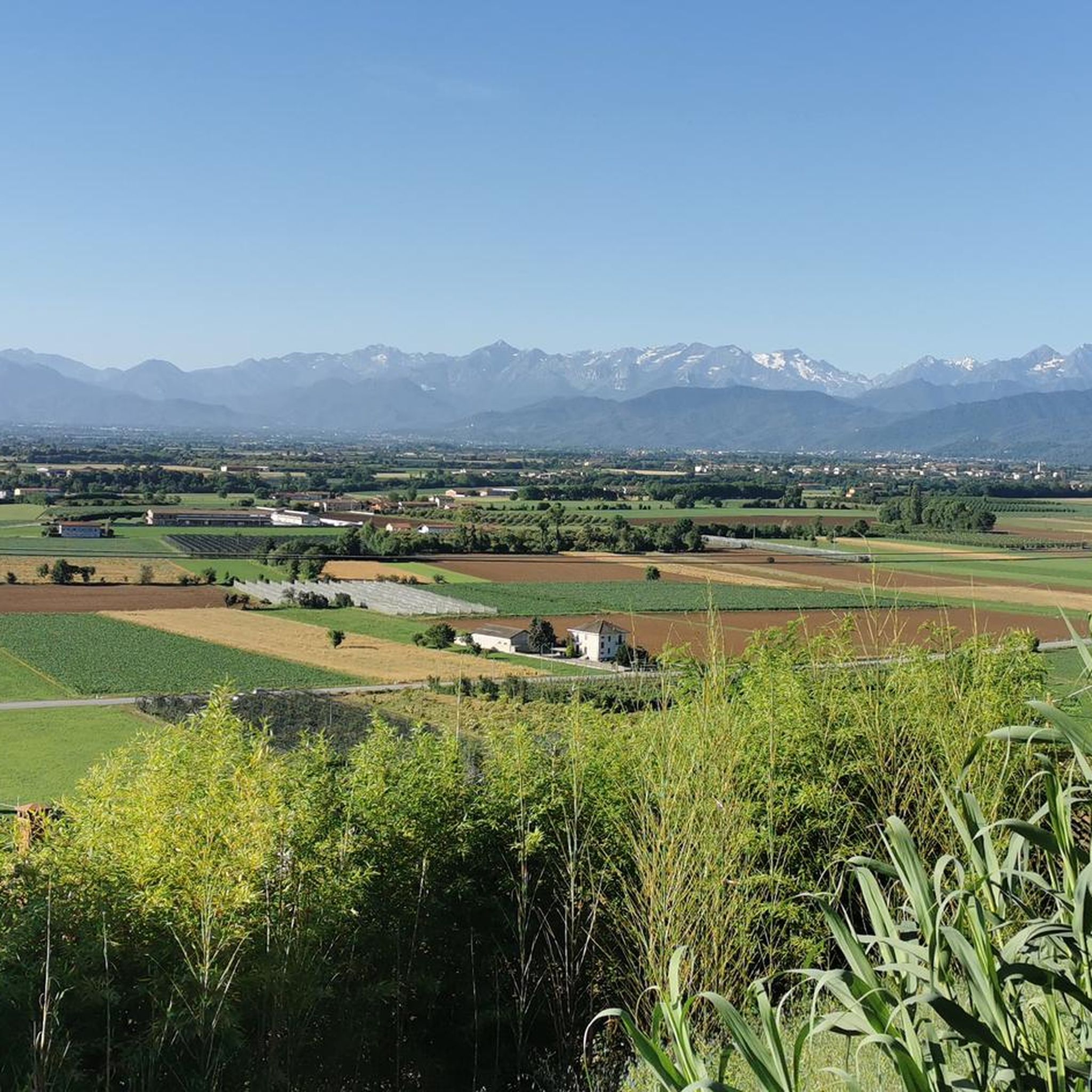
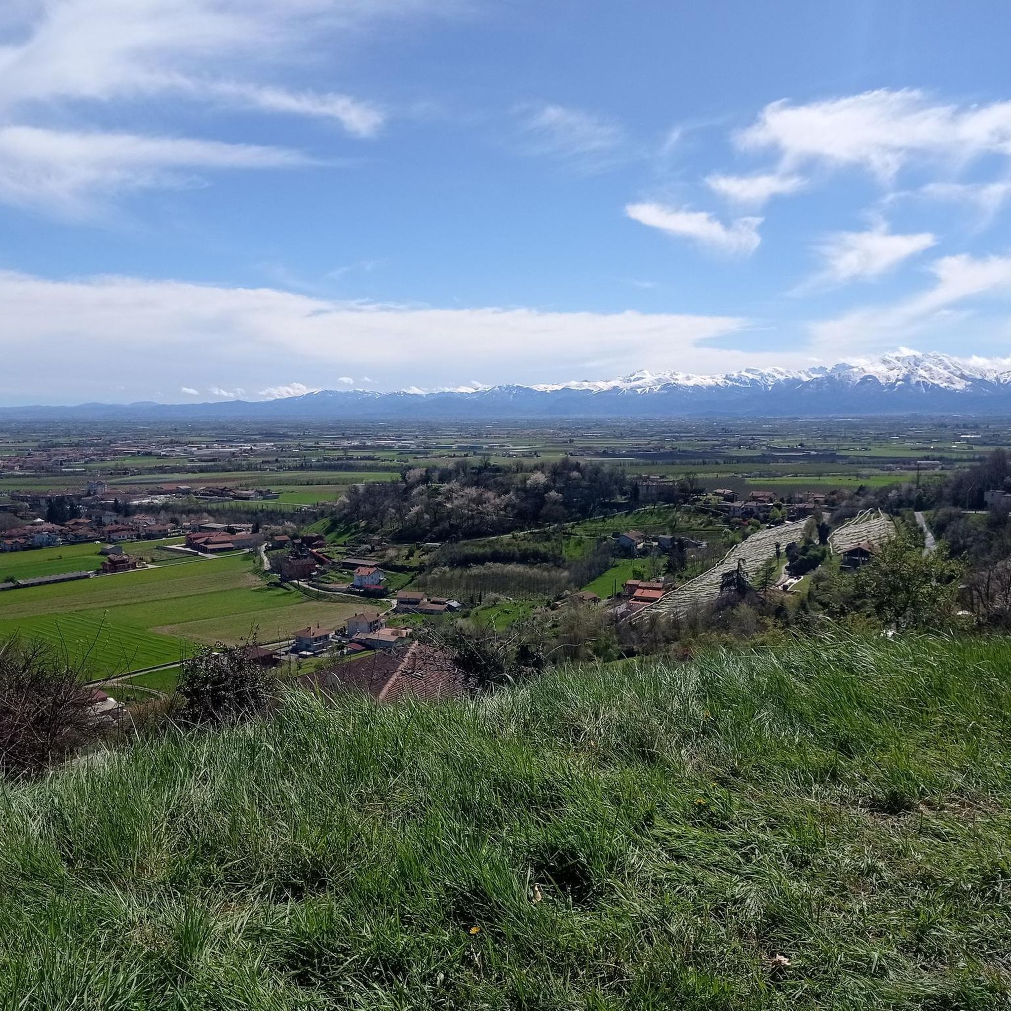
Hiking around Tarantasca offers access to the diverse landscapes of Italy's Piedmont region, characterized by expansive plains and the dramatic backdrop of the Cottian Alps. The area features significant alpine peaks, including the prominent Monviso, providing varied terrain for outdoor activities. This region near Cuneo presents a range of natural features, from rolling hills to more imposing mountain scenery. The trails navigate through these varied environments, offering different perspectives of the Cuneese area.
Best hiking trails around Tarantasca
- The most…
Last updated: August 9, 2026
2
hikers
7.99km
02:34
360m
360m
Moderate hike. Good fitness required. Easily-accessible paths. Suitable for all skill levels.
4.5
(11)
50
hikers
7.62km
02:13
200m
200m
Moderate hike. Good fitness required. Easily-accessible paths. Suitable for all skill levels.

Sign up for free
4.0
(1)
25
hikers
13.9km
03:48
220m
220m
Moderate hike. Good fitness required. Easily-accessible paths. Suitable for all skill levels.
31
hikers
8.81km
02:22
100m
100m
Moderate hike. Good fitness required. Easily-accessible paths. Suitable for all skill levels.
5.0
(2)
16
hikers
7.86km
02:25
270m
270m
Moderate hike. Good fitness required. Easily-accessible paths. Suitable for all skill levels.
Get access to more routes and recommendations from other explorers.
Sign up for free
Already have an account?
Our route recommendations are based on thousands of hikes, rides, and runs completed by other people on komoot.
Start today with a free account
Your next adventure awaits.
Login or Signup

Tips from the Community

It is the highest of the three castles of Costigliole. Private, it is not visitable, but the view from the outside is nevertheless worthwhile.
0
0
Beautiful medieval village, perched around the fortifications that overlook it (the various castles), and the church of Santa Maria Maddalena. Very beautiful are the narrow streets that climb towards the top, and the bridge that allows access to the castle area.
0
0
Beautiful church-sanctuary perched above Costigliole Saluzzo, and clearly visible from the plain - especially from the road to Piasco. You can get there via a rather steep asphalt road, which turns into a dirt road at the foot of the small church. Near the church, a picnic area equipped with tables, benches, and a BBQ station; in front of the church, a fountain with drinking water; just below the picnic area, restrooms (incredible that someone in Italy thought of it, but better so - and a heartfelt thank you). Wonderful view of the terminal part of the Val Varaita and Piasco. A nice trip.
0
0
One of the three castles of Costigliole Saluzzo - private, so not visitable, but very beautiful even from the outside.
0
0
Equipped picnic area at the foot of the church of Santa Cristina, near the Carestia fountain (which, despite its name, provides excellent drinking water). Tables with benches, barbecue area, but obviously, being in Italy, an absolute lack of restrooms (there are some at the Santa Cristina church above, but it's already a good walk). Nice spot for a break.
0
0

Church located in a quiet area and in a panoramic position, with the possibility of having picnics with barbecues outside
0
0
Named after Admiral Reynaudi, one of its owners, it was built on the ruins of another castle. It is currently known as Castello Rosso and is located in the medieval village of Costigliole.
0
0
Beautiful old church, in a very scenic position overlooking the Cuneo plain. The climbs to get there have ramps at the limit of legality, but it's worth it.
0
0
Frequently Asked Questions
What kind of landscapes can I expect to see while hiking around Tarantasca?
The region around Tarantasca offers a diverse range of landscapes, from expansive plains to the dramatic backdrop of the Cottian Alps. You'll encounter rolling hills, the imposing presence of Monviso (often called the 'King of Stone'), and areas with centuries-old chestnut trees. This varied terrain provides a rich tapestry of scenic experiences.
Are there many hiking trails available in the Tarantasca area?
Yes, there are over 120 hiking routes around Tarantasca. These trails cater to various skill levels, from easy strolls to more challenging treks, ensuring a suitable option for almost every hiker.
Are there any easy, family-friendly hikes near Tarantasca?
Absolutely. Tarantasca offers over 30 easy routes suitable for families. A good option is the St. Stephen's Chapel – View of Busca loop from Busca, which is 6.8 km long and typically takes around 2 hours to complete with minimal elevation gain.
What are some notable natural features or landmarks to look out for on the trails?
The area is rich in natural beauty and historical sites. You might encounter the Hill with centuries-old chestnut trees, or explore the Pink Alabaster Caves of Busca. The Gesso and Stura Rivers Confluence Nature Reserve also offers unique natural sights.
Are there any circular hiking routes near Tarantasca?
Yes, many trails in the area are loops, perfect for a varied experience. For example, the Busca – View of Busca loop from Busca is a moderate 7.4 km path offering views of the surrounding area, taking about 2 hours and 10 minutes.
What is the best time of year to go hiking in Tarantasca?
The region is generally pleasant for hiking from spring through autumn. While specific seasonal conditions can vary, the diverse terrain means you can find suitable trails for most of the year. For higher alpine routes, summer and early autumn are ideal.
What do other hikers say about the trails around Tarantasca?
The trails around Tarantasca are highly regarded by the komoot community, with an average rating of 4.5 stars from over 300 reviews. Hikers often praise the varied terrain, from gentle hills to more challenging ascents, and the beautiful views of the Cuneese area and the Alps.
Are there any longer, more challenging hikes for experienced trekkers?
Yes, for those seeking a longer challenge, the View of Busca – Hill with centuries-old chestnut trees loop from Busca is a moderate 14.2 km trail with an elevation gain of 480 meters, typically taking over 4 hours to complete.
Can I reach hiking trailheads near Tarantasca using public transport?
While Tarantasca itself is a small comune, the wider Cuneese area has some public transport options. For specific trailheads, it's advisable to check local bus schedules or consider driving, as many routes start from nearby towns like Busca which may have better connections. For general information on the region, you can visit visitcuneese.it.
Are there any historical sites or cultural attractions accessible from the hiking trails?
Yes, the region blends natural beauty with history. You can find sites like the Historic center of Piasco or the Caraglio Silk Mill. The Historic trail to Belvedere via San Defendente Chapel (Route U98) is a specific route that offers a historical journey.
Are dogs allowed on the hiking trails around Tarantasca?
Generally, dogs are welcome on hiking trails in the Piedmont region, especially if kept on a leash. However, it's always best to check specific local regulations for nature reserves or protected areas you plan to visit. Always ensure your dog is under control and that you clean up after them.
What is the typical elevation gain on trails in this area?
Elevation gains vary significantly. Easy trails might have minimal ascent, while moderate routes like the Historic trail to Belvedere via San Defendente Chapel (Route U98) feature around 350 meters of elevation gain. More demanding treks can involve over 480 meters of climbing, offering a good workout with rewarding views.
Most popular routes around Tarantasca
Most popular attractions around Tarantasca

Get inspired with the komoot mobile app


Explore more
Browse the best Hikes in other regions.
