The best walks and hikes around Magliano Alpi
4.5
(2314)
13,546
hikers
459
hikes
Hiking around Magliano Alpi offers diverse landscapes, from the village area to the alpine regions of Seirasso, Raschera, and Brignola in the Ligurian Alps. This area features pastures reaching 1,800 meters, high peaks, and expansive open spaces within the broader Piedmontese Alps. Hikers can experience varied scenery, including windflower meadows, ridges along the Italy-France border, and the high mountain plateau of Marguareis. The region also includes numerous waterfalls, such as the Saut Waterfalls and Waterfall Gias Fontana, accessible via walking…
Last updated: July 7, 2026
4.5
(26)
122
hikers
14.1km
05:12
710m
710m
Hard hike. Very good fitness required. Mostly accessible paths. Sure-footedness required.
4.5
(6)
57
hikers
5.92km
02:03
320m
320m
Moderate hike. Good fitness required. Mostly accessible paths. Sure-footedness required.

Sign up for free
2
hikers
19.7km
06:59
960m
960m
Hard hike. Very good fitness required. Mostly accessible paths. Sure-footedness required.
8.56km
03:59
580m
580m
Hard hike. Good fitness required. Sure-footedness, sturdy shoes and alpine experience required.
5.83km
02:24
360m
360m
Moderate hike. Good fitness required. Mostly accessible paths. Sure-footedness required.
Get access to more routes and recommendations from other explorers.
Sign up for free
Already have an account?
Our route recommendations are based on thousands of hikes, rides, and runs completed by other people on komoot.
Start today with a free account
Your next adventure awaits.
Login or Signup
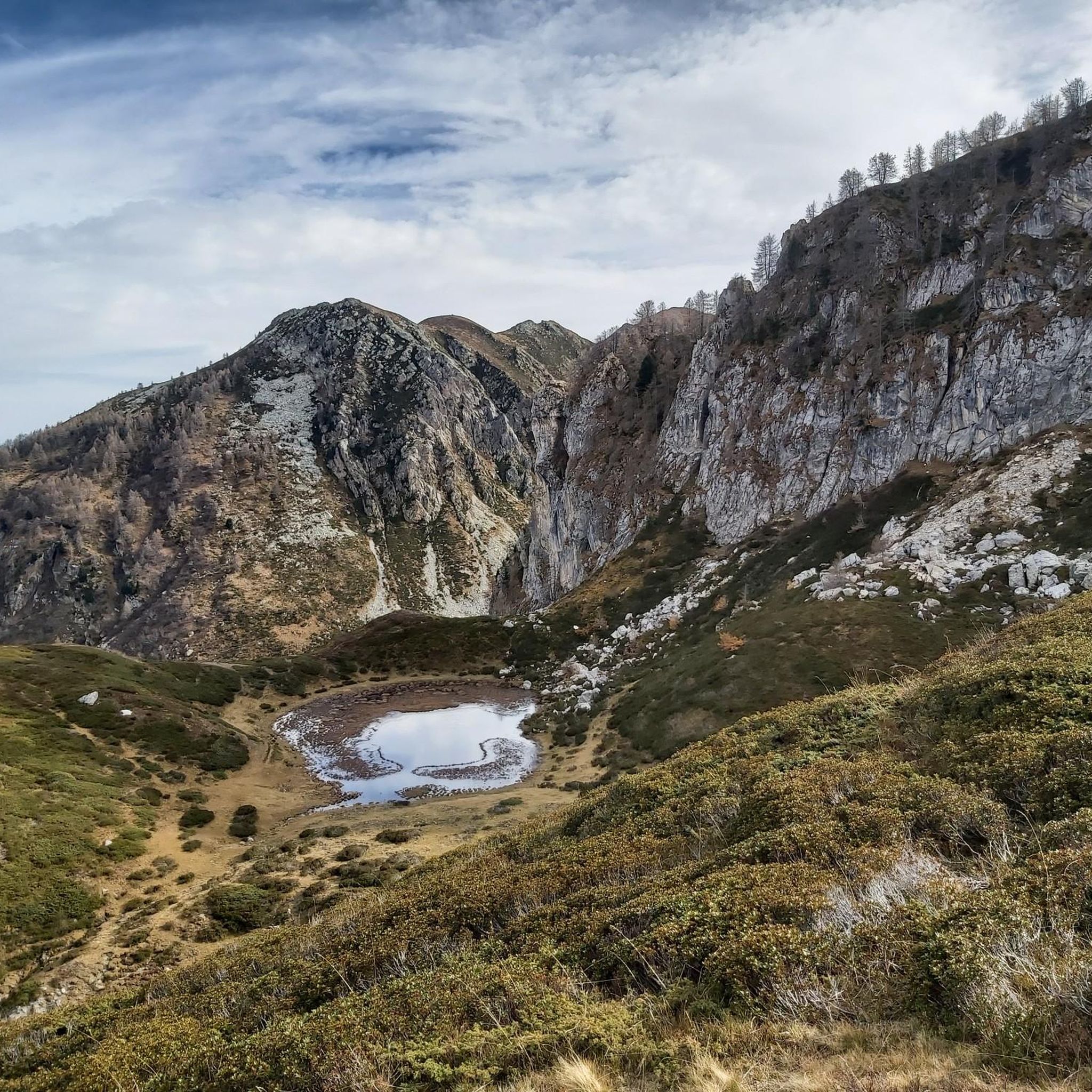
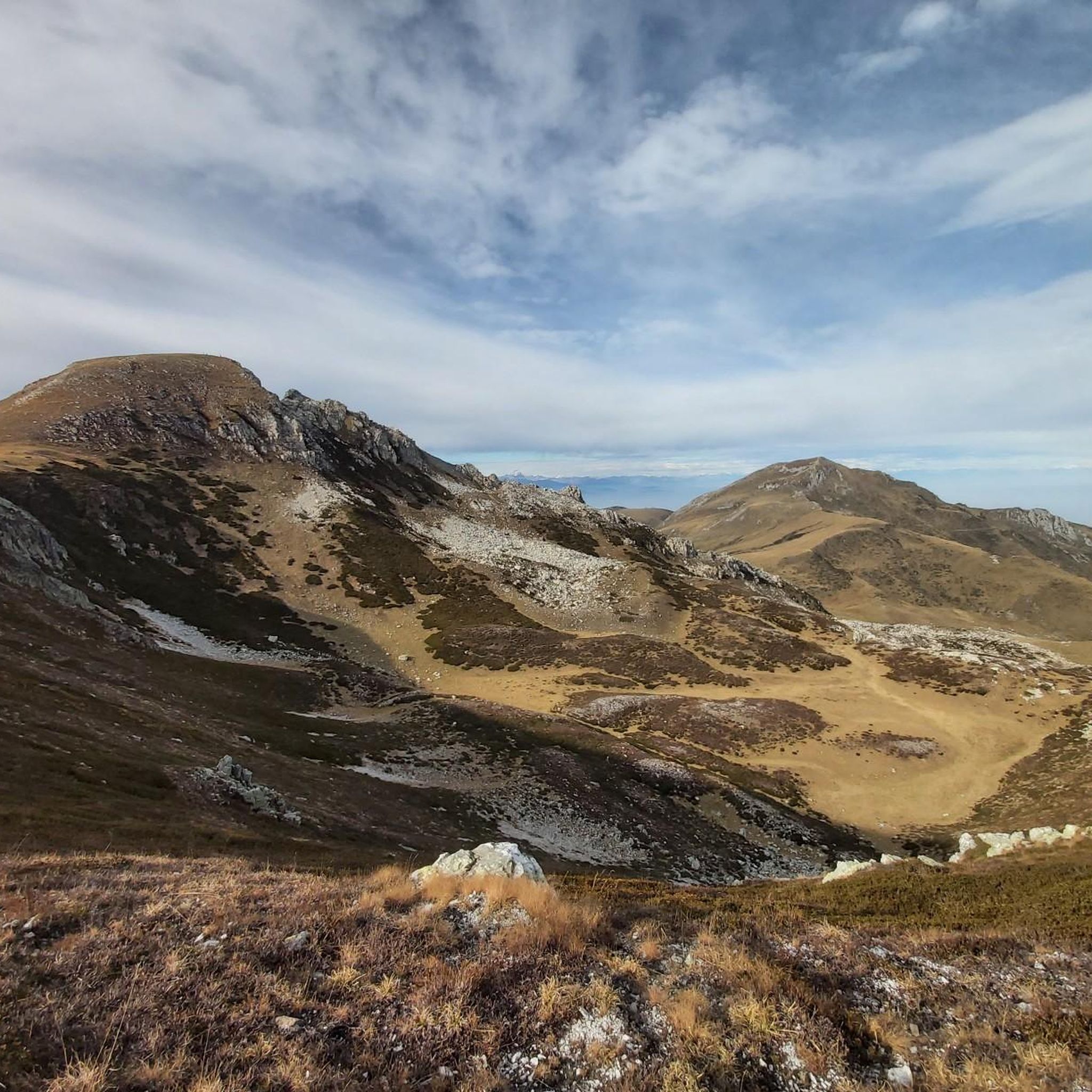
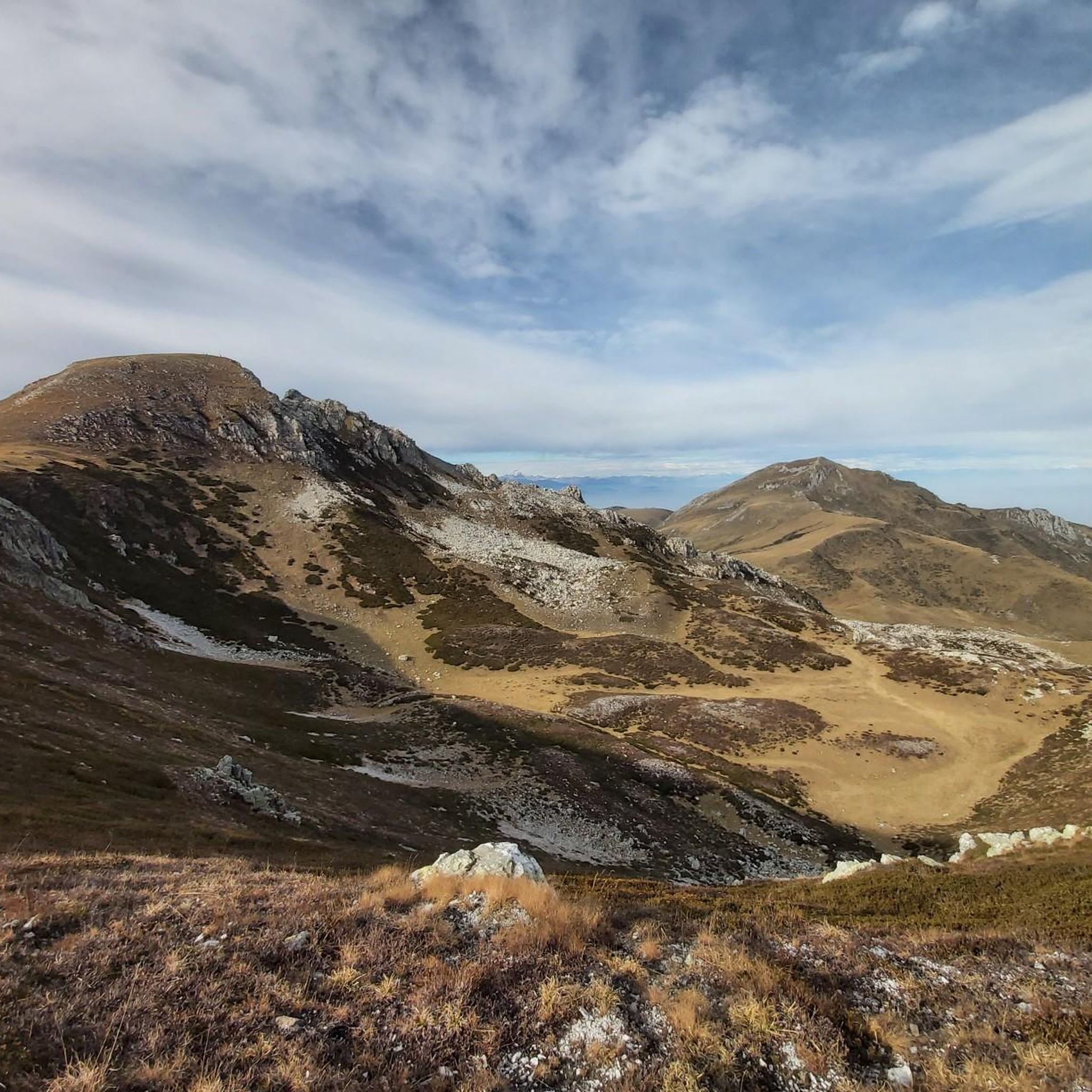

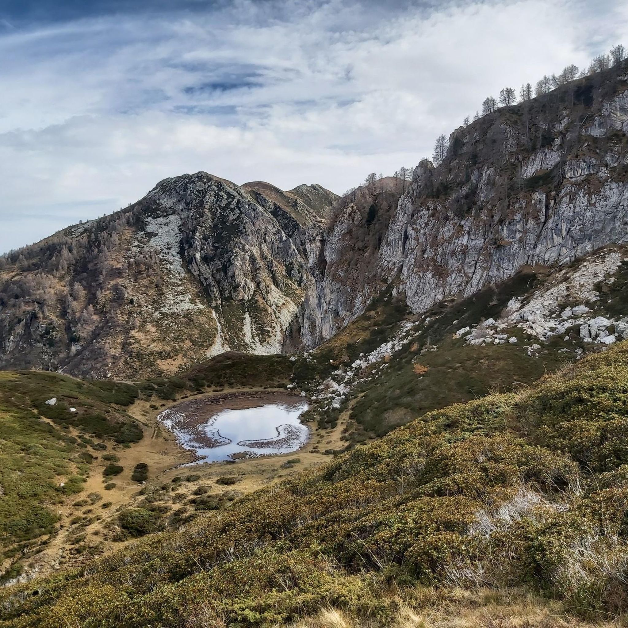
Tips from the Community

A summit with exceptional views, if the weather is clear. The climb is very exposed to the wind.
0
0

The “Bric Conoia” is a peak that offers a spectacular view and is very reminiscent of the 3000m mountains, mainly composed of rocks. It can also be reached by passing on the ridge that leads from the “Mongioie” to the “Pizzo d’Ormea”.
1
0

Memorial on the climb that leads to Lake Brignola
0
0


A peak with incredible charm, it offers a fabulous view over the entire Val Tanaro.
2
0

Pasture with grazing cows passing towards Lake Brignola
1
0
Alpine lake reachable with a walk of less than two hours from the Balma refuge, from here you can continue and in about 45 minutes you can reach Lake Raschera
0
0
Collet connecting Lake Brignola and Lake Raschera
1
0
Frequently Asked Questions
How many hiking trails are available around Magliano Alpi?
Magliano Alpi offers a vast network of over 420 hiking trails, catering to various skill levels. You'll find everything from easy walks to challenging alpine routes.
What kind of landscapes can I expect to see while hiking in Magliano Alpi?
The region boasts incredibly diverse landscapes, from the village area to the alpine regions of Seirasso, Raschera, and Brignola in the Ligurian Alps. You'll encounter pastures reaching 1,800 meters, high peaks, expansive open spaces, windflower meadows, and dramatic ridges along the Italy-France border. Some areas, like parts of the historic Via del Sale, even offer unique, almost 'lunar' scenery.
Are there any family-friendly hiking options in Magliano Alpi?
Yes, Magliano Alpi has options suitable for families. Many trails lead to natural attractions like the Saut Waterfalls and Waterfall Gias Fontana, which can be reached via easy walks, particularly enjoyable in spring. Look for routes categorized as 'easy' for the most suitable options.
Can I find circular hiking routes in Magliano Alpi?
Yes, there are several circular routes available. For example, the Brignola and Raschera Lakes Loop Trail is a challenging 12.2-mile (19.7 km) route that takes you through alpine terrain past two notable lakes.
What natural attractions or landmarks can I see along the hiking trails?
Magliano Alpi is rich in natural beauty. You can visit the refreshing Saut Waterfalls and Waterfall Gias Fontana. The historic Via del Sale between Col de la Boaria and Rifugio Don Barbera offers grandiose views. You might also encounter the Monte Mondolè Summit Cross and Virgin Mary Statue or the scenic Porta Sestrera mountain pass.
Are there mountain huts or refuges available for hikers?
Yes, the region has mountain huts that provide excellent services. Rifugio Don Barbera is a notable example, offering kind service and cuisine beyond basic sandwiches. Pian delle Gorre is another area with facilities and serves as a starting point for many trails, especially those leading to waterfalls.
What is the best time of year to go hiking in Magliano Alpi?
Spring is particularly beautiful for hiking in Magliano Alpi, as the windflower meadows are in bloom and waterfalls are at their fullest. The summer months offer ideal conditions for higher alpine routes. Always check local weather conditions before heading out, especially for higher elevations.
What do other hikers enjoy most about hiking in Magliano Alpi?
The area is highly rated by the komoot community, with an average score of 4.5 stars from over 2000 reviews. Hikers frequently praise the diverse landscapes, from high alpine regions to windflower meadows, and the variety of routes suitable for different ability levels. The breathtaking 'top of the world' panoramas are also a common highlight.
Are there any challenging multi-day treks in the area?
Yes, Magliano Alpi is an excellent starting point for multi-day adventures. You can explore alpine treks along the ridges and peaks of the Italy-France border, incorporating sections of the historic Via del Sale. Some itineraries even cross Liguria from the coast to the Piedmont plain, conquering the summit of Marguareis, the highest in the area.
Is public transport available to reach hiking trails in Magliano Alpi?
While Magliano Alpi is accessible, public transport options directly to trailheads can be limited in mountainous regions. It's advisable to research specific bus routes or consider local taxi services from the nearest train stations. For general information about the region, you can visit visitcuneese.it.
Are dogs allowed on the hiking trails in Magliano Alpi?
Many trails in Magliano Alpi are dog-friendly, allowing you to enjoy the natural beauty with your canine companion. However, it's always recommended to keep dogs on a leash, especially in protected areas or near livestock, and to check for any specific local regulations or signage on individual routes.
Most popular routes around Magliano Alpi
Most popular attractions around Magliano Alpi

Get inspired with the komoot mobile app


Explore more
Browse the best Hikes in other regions.
