The best walks and hikes around Rheinmünster
4.6
(514)
2,418
hikers
166
hikes
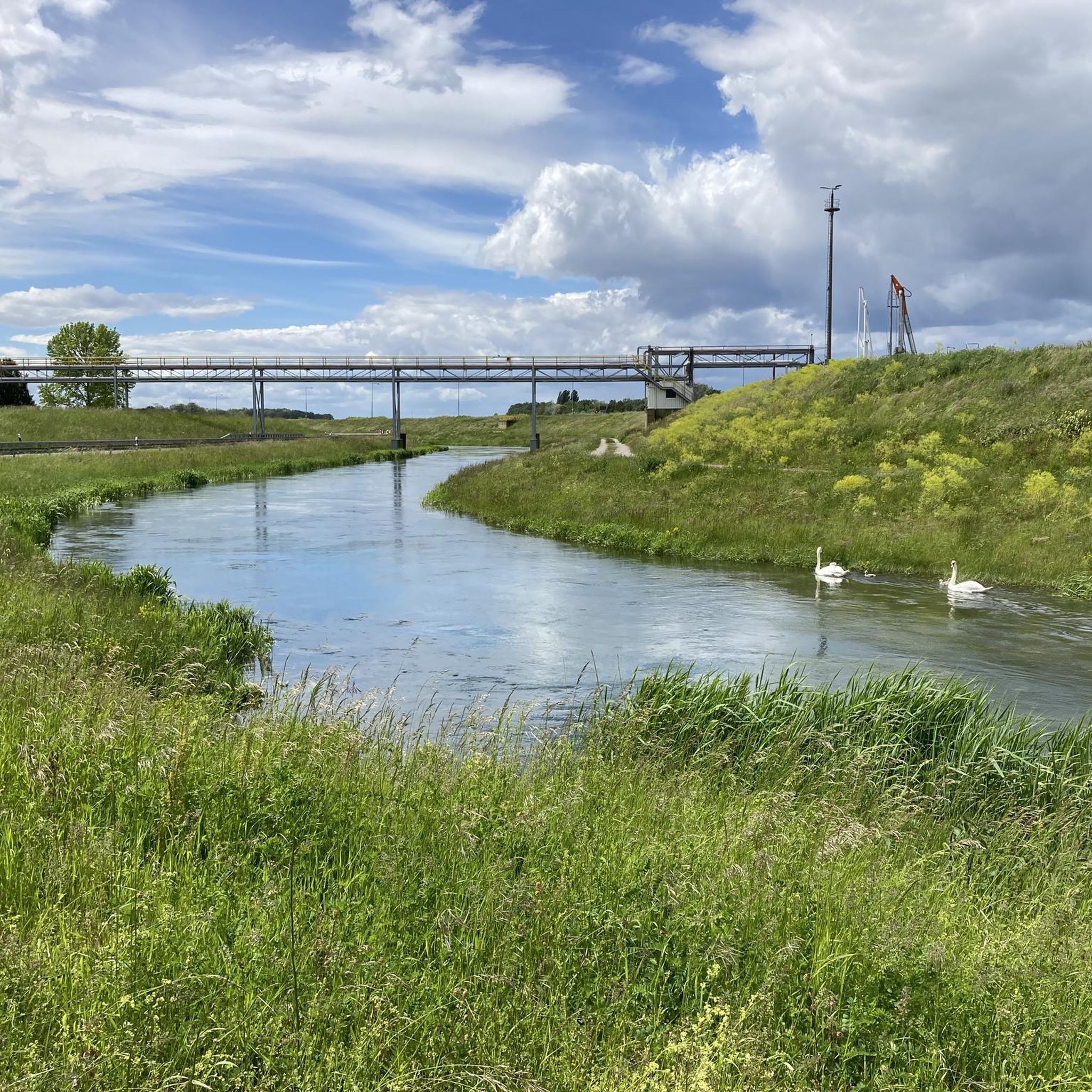
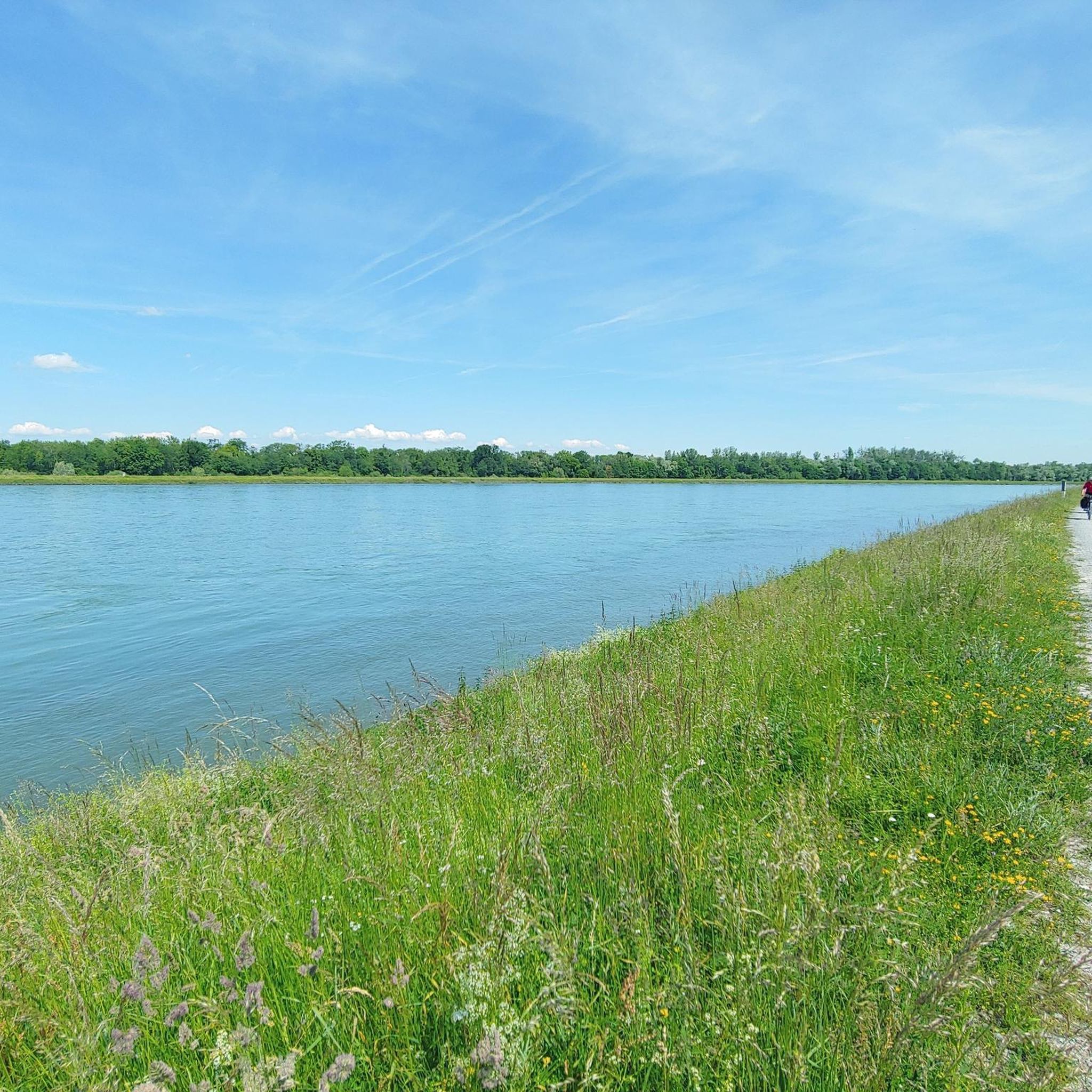
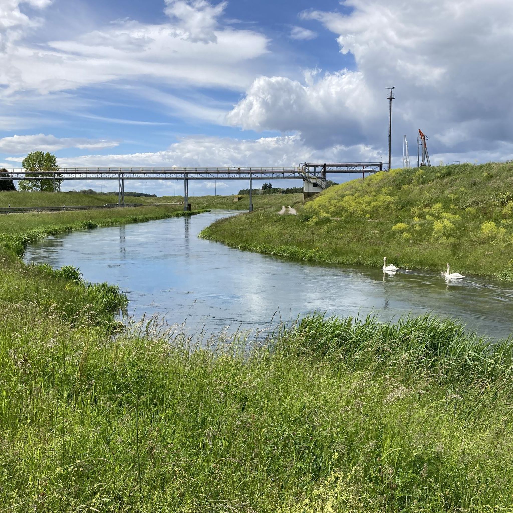
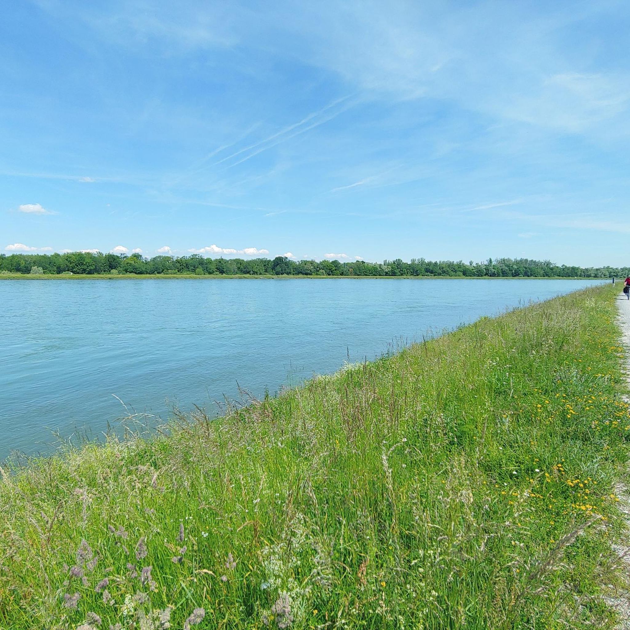
Hiking around Rheinmünster offers diverse landscapes, situated in the Upper Rhine Valley and at the edge of the Black Forest. The region features varied terrains, including the Rhine floodplain with its unique flora and fauna, as well as gravel paths, agricultural areas, and dense floodplain forests. Hikers can explore natural ground, cross small streams, and pass quarry ponds and nature reserves. This geographical position provides access to both lowland river environments and the foothills of the Black Forest.
Best hiking…
Last updated: June 25, 2026
4.4
(55)
184
hikers
8.01km
02:02
20m
20m
Moderate hike. Good fitness required. Easily-accessible paths. Suitable for all skill levels.
4.6
(24)
89
hikers
11.3km
02:52
20m
20m
Moderate hike. Good fitness required. Easily-accessible paths. Suitable for all skill levels.

Sign up for free
4.5
(35)
119
hikers
Moderate hike. Good fitness required. Easily-accessible paths. Suitable for all skill levels.
4.6
(25)
94
hikers
Easy hike. Great for any fitness level. Easily-accessible paths. Suitable for all skill levels.
4.5
(28)
84
hikers
6.12km
01:33
10m
10m
Easy hike. Great for any fitness level. Easily-accessible paths. Suitable for all skill levels.
Get access to more routes and recommendations from other explorers.
Sign up for free
Already have an account?
Our route recommendations are based on thousands of hikes, rides, and runs completed by other people on komoot.
Start today with a free account
Your next adventure awaits.
Login or Signup
Popular around Rheinmünster




Tips from the Community

The Drusus ferry operates on the Rhine between Greffern and Drusenheim in Alsace at Rhine kilometer 321. The crossing from France to Germany was free.
6
0

Nice restaurant in Greffern.
1
1

Great location, right on the harbor.
1
0

Beautiful idyllic lake with great views
3
0

Watching little geese
3
0

Geese 🪿
3
0

Very good Restaurant Am Fluss Greffern / Lichtenau. All dishes are generous.
1
2

Nature, water, tranquility, hiking on flat paths
0
0
Frequently Asked Questions
How many hiking trails are available in Rheinmünster?
Rheinmünster offers a wide variety of hiking opportunities, with nearly 170 trails listed on komoot. This includes over 120 easy routes, 43 moderate options, and a few more challenging paths, ensuring there's something for every skill level.
What kind of terrain can I expect on hikes around Rheinmünster?
The terrain in Rheinmünster is quite diverse, ranging from the lowlands of the Rhine floodplain to the foothills of the Black Forest. You'll encounter gravel paths, natural ground, agricultural areas, and dense floodplain forests along the Rhine. Many routes cross small streams and pass by quarry ponds and nature reserves, offering varied landscapes.
Are there any circular hiking routes in Rheinmünster?
Yes, Rheinmünster features several excellent circular routes. For a comprehensive loop experience through varied terrain, consider the Hiking loop from Drusenheim. Another option is the Westwall Bunker Remains – Rhine Riverbank loop from Rheinknie Alter Kopfgrund, which combines historical sites with riverside views.
What are some notable landmarks or viewpoints I can see while hiking?
The region is rich in points of interest. You can explore the ruins of Old Hohenbaden Castle, which offers historical insights. For panoramic views, head to Fremersberg, a mountain on the western edge of the northern Black Forest. The View of the old railway bridge in Wintersdorf also provides a scenic spot.
Are there family-friendly hiking options in Rheinmünster?
Absolutely. Many of the trails in Rheinmünster are suitable for families, especially the numerous easy routes. The Rhine floodplain areas offer gentle paths through nature, perfect for a leisurely stroll with children. An example of an easy route is Lake Krieger – View of the Rhine loop from Stollhofen, which is relatively short and offers pleasant scenery.
What is the best time of year to go hiking in Rheinmünster?
Rheinmünster offers enjoyable hiking experiences throughout much of the year. Spring and autumn provide pleasant temperatures and beautiful natural colors, especially in the floodplain forests. Summer is also great, but early mornings are recommended to avoid the midday heat. The diverse landscapes, from riverbanks to forest paths, ensure scenic beauty in different seasons.
Are dogs allowed on the hiking trails in Rheinmünster?
Generally, dogs are welcome on hiking trails in Rheinmünster. However, as the region includes nature reserves and areas with unique flora and fauna, it's always advisable to keep your dog on a leash, especially in sensitive ecosystems like the Rhine floodplain. This helps protect wildlife and ensures a pleasant experience for all hikers.
What do other hikers say about the trails in Rheinmünster?
The hiking trails in Rheinmünster are highly regarded by the komoot community, with an average rating of 4.6 stars from over 480 reviews. Hikers often praise the diverse landscapes, from the tranquil Rhine floodplain to the scenic forest paths, and appreciate the well-maintained routes that cater to various fitness levels.
Is public transport available to access hiking trails in Rheinmünster?
While specific public transport connections directly to every trailhead can vary, Rheinmünster is generally accessible. It's recommended to check local bus schedules or regional train connections to nearby towns, which may offer closer access points to the hiking network. Planning your route in advance with komoot can help identify accessible starting points.
Are there places to eat or stay near the hiking routes?
Rheinmünster and its surrounding villages offer various options for refreshments and accommodation. You'll find local cafes, restaurants, and guesthouses where you can refuel after your hike or stay overnight. The region's proximity to larger towns also means a broader selection of amenities is within a short drive.
What are the elevation changes like on trails in Rheinmünster?
Most trails in Rheinmünster, particularly those in the Rhine floodplain, feature relatively gentle elevation changes, making them suitable for easy and moderate hikes. For instance, the Rhine Riverbank – Grotto loop from Drusenheim has minimal elevation gain. While the Black Forest foothills might offer slightly more ascent, the overall region is characterized by its accessible and less strenuous terrain.
Most popular routes around Rheinmünster
Most popular attractions around Rheinmünster

Get inspired with the komoot mobile app


Explore more
Browse the best Hikes in other regions.
