The best walks and hikes around Castellino Tanaro
4.3
(329)
1,304
hikers
105
hikes
Hiking around Castellino Tanaro offers diverse trails through the rolling hills and agricultural landscapes of Piedmont, Italy. The region is characterized by a mix of cultivated fields, vineyards, and scattered woodlands, providing varied scenery for outdoor activities. Hikers can explore paths connecting small villages and historic sites, often with gentle elevation changes. The terrain is generally accessible, making it suitable for a range of abilities.
Best hiking trails around Castellino Tanaro
- The most popular hiking route is Castello di Cigliè…
Last updated: May 28, 2026
4.4
(7)
31
hikers
13.1km
03:45
320m
310m
Moderate hike. Good fitness required. Easily-accessible paths. Suitable for all skill levels.
4.7
(7)
27
hikers
13.7km
04:10
490m
490m
Hike the moderate 8.5-mile Val Cusina Trail in Deserta Langarum, gaining 1601 feet through a V-shaped valley with diverse wildlife.

Sign up for free
7.63km
02:28
330m
320m
Hike the moderate 4.7-mile Countryside walk to Bric Brucialepre (via Route B09) in Piedmont, gaining 1070 feet over 2 hours and 27 minutes.
1
hikers
19.3km
05:52
630m
630m
Gentle Piedmont trail connecting villages through vineyards, forests, and rolling hills with rural charm.
Hike the easy 3.6-mile Historic Chapels Trail from Marsaglia, enjoying panoramic views and visiting the Sanctuary of Marsaglia.
Get access to more routes and recommendations from other explorers.
Sign up for free
Already have an account?
Our route recommendations are based on thousands of hikes, rides, and runs completed by other people on komoot.
Start today with a free account
Your next adventure awaits.
Login or Signup
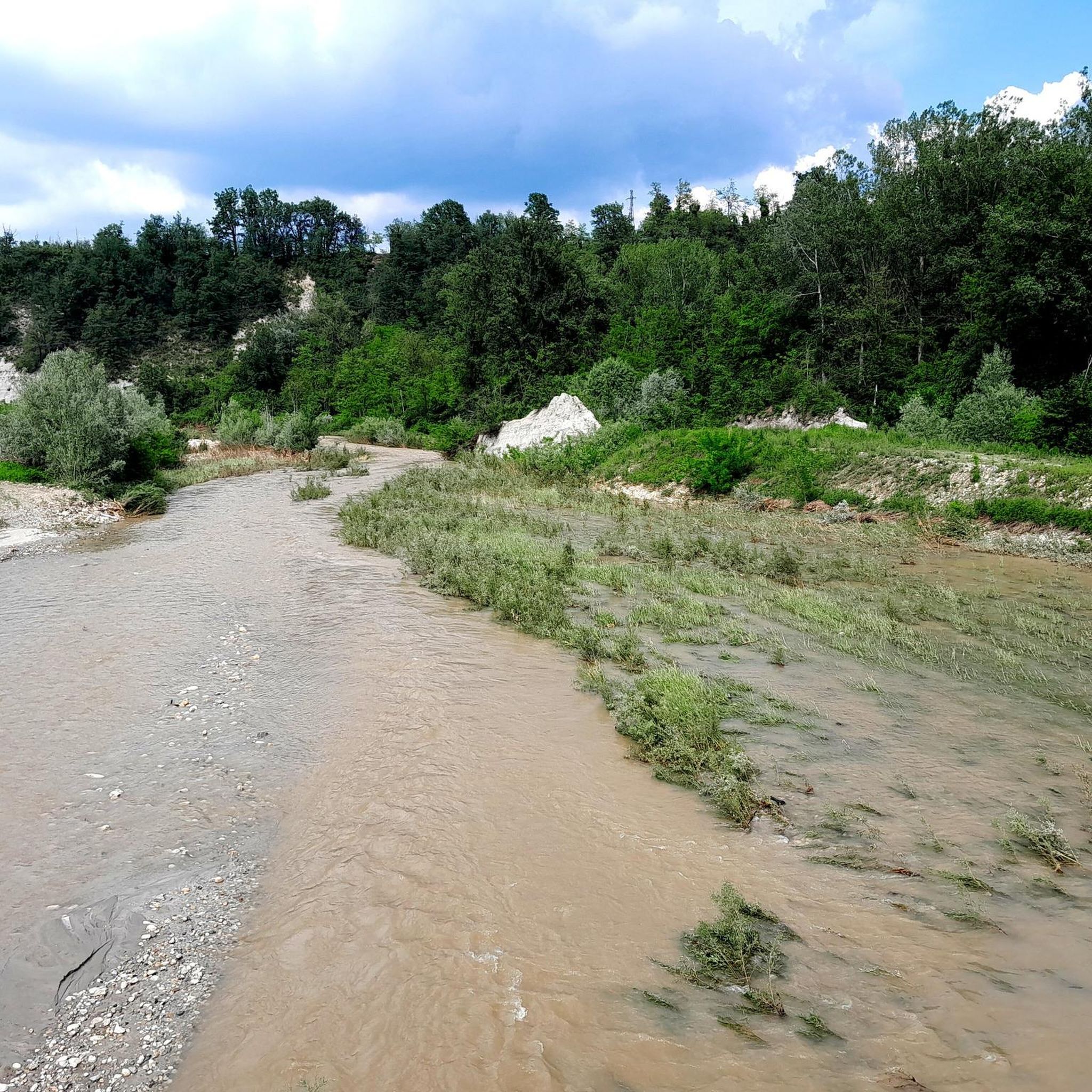
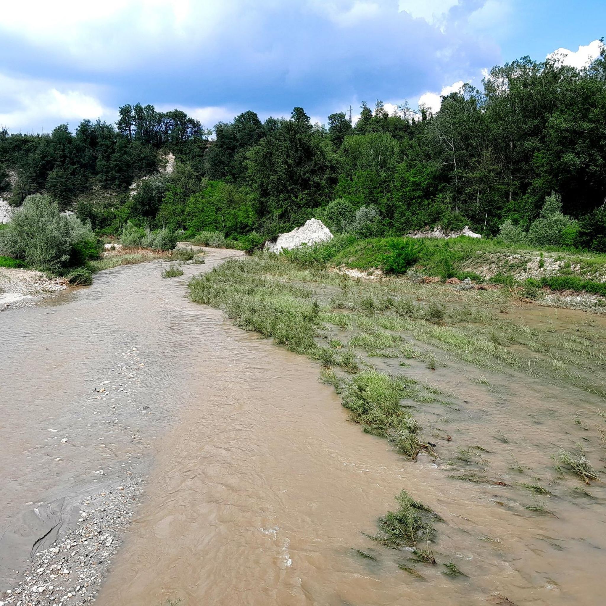
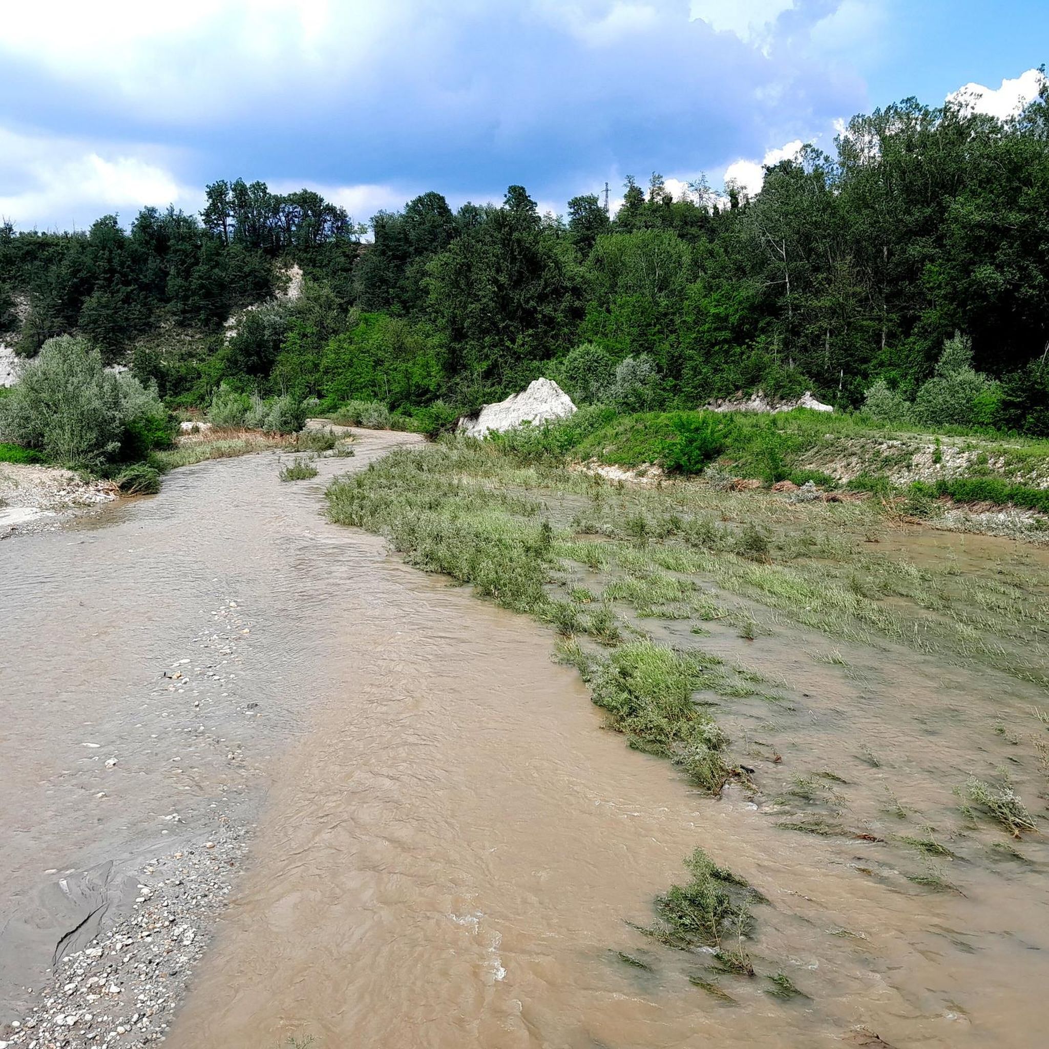
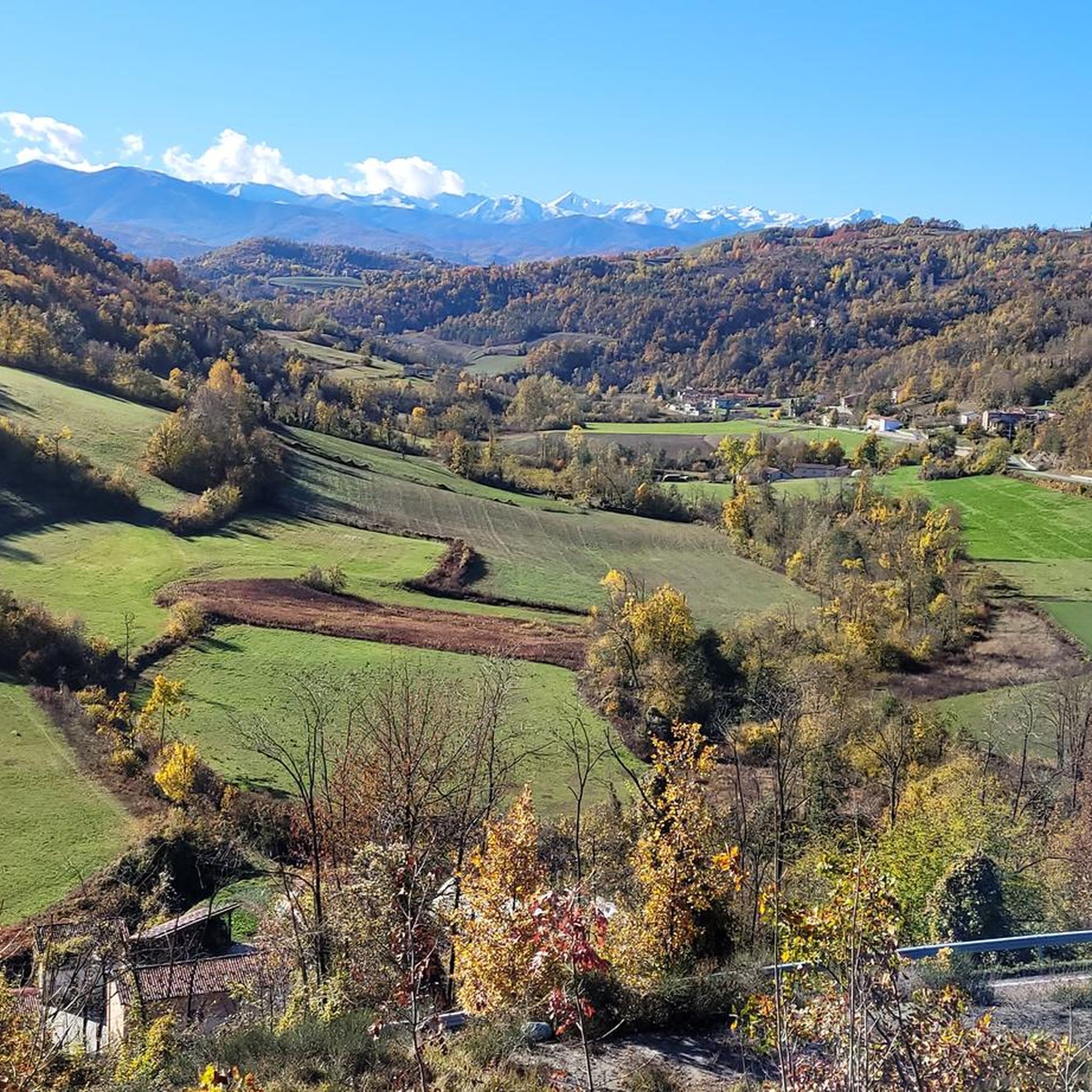
Tips from the Community

Visible from afar, this shrine dominates a suggestive landscape of vineyards and rolling hills, a crossing point between the Alta Langa and the most famous Langa, that of the vineyards. The climb from Bastia Mondovì is gradual and never extreme, the landscape that gradually widens then repays the efforts. Bring water supplies because there is none to be found, furthermore the exposure of the road is almost all to the South. The visit to the shrine repays the small detour necessary to reach it.
0
0

Shrine of San Bernardo with a view, excellent for a stop
0
0

The construction of the Shrine of St. Bernard dates back to the period 1947/1951. It was built on the highest hill in the area where, at that time, an elementary school and a small chapel stood. The work was financed with contributions from various organizations but above all thanks to the collaboration of many volunteers. In the churchyard, in the ossuary the bodies of eight partisans are collected and on the tombstones of the path of the Shrine are carved the names of about a thousand fallen in the struggle for liberation who, from September 1943 to April 1945 lost their lives in the Casotto valleys, Corsaglia, Ellero and in all the Langhe.
0
0
Small town but rich in history, the castle is very beautiful
1
0

Memorial to the fallen of the Second World War
1
0
Private castle that cannot be visited
0
0

In the Langhe, one of the most famous wine regions in the world, you can admire the change of season, the vineyards change color and you are immersed in a fascinating nature and landscape. The view that can be enjoyed from the Shrine of St. Bernard is always worth a stop.
3
0
In the Langhe, one of the most famous wine regions in the world, you can admire the change of season, the vineyards change color and you are immersed in a fascinating nature and landscape.
0
0
Frequently Asked Questions
How many hiking trails are available in Castellino Tanaro?
There are over 100 hiking trails around Castellino Tanaro, offering a wide variety of options through the region's rolling hills, vineyards, and historic villages. These routes cater to different skill levels, from easy strolls to more challenging treks.
Are there easy hiking trails suitable for beginners or families in Castellino Tanaro?
Yes, Castellino Tanaro offers many easy hiking trails perfect for beginners and families. Approximately 39 of the routes are classified as easy, featuring gentle elevation changes and accessible terrain. An example is the Historic Chapels Trail from Marsaglia, which is 3.6 miles (5.9 km) long and takes about 1 hour 44 minutes to complete.
What is the best time of year to go hiking in Castellino Tanaro?
The best time for hiking in Castellino Tanaro is typically during the spring (April to June) and autumn (September to October). During these seasons, the weather is mild, and the landscapes are particularly beautiful, with blooming wildflowers in spring and vibrant foliage in autumn. Summers can be warm, while winters are generally mild but some trails might be muddy.
Are there any circular hiking routes in Castellino Tanaro?
Yes, many of the trails in Castellino Tanaro are circular, allowing you to start and end at the same point. The Castello di Cigliè — Ring Tour is a popular example, covering 8.2 miles (13.1 km) and offering scenic views of the countryside.
What kind of views can I expect on the hiking trails around Castellino Tanaro?
Hikers in Castellino Tanaro can expect picturesque views of the Piedmontese landscape, characterized by rolling hills, expansive vineyards, cultivated fields, and scattered woodlands. Many routes also offer glimpses of charming small villages and historic structures, providing a blend of natural beauty and cultural interest.
What do other hikers enjoy most about hiking in Castellino Tanaro?
The hiking trails in Castellino Tanaro are highly rated by the komoot community, with an average score of 4.4 stars from over 290 reviews. Hikers often praise the diverse terrain, the tranquility of the countryside, and the well-maintained paths that connect historic sites and offer beautiful panoramic views.
Are there any notable landmarks or attractions to see along the hiking trails?
Yes, the region around Castellino Tanaro is rich in history and culture. Along the trails, you might encounter various points of interest. For example, you could visit the Sanctuary of Madonna dei Monti or explore the Carrù Castle. The Historic center of Ceva also offers a glimpse into the area's past.
Is parking generally available at trailheads in Castellino Tanaro?
While specific parking information for every trailhead isn't always available, many hiking routes in Castellino Tanaro start from or pass through small villages. In these locations, you can often find public parking areas, though availability may vary. It's advisable to check local signage or komoot route details for specific starting points.
Are there any longer or more challenging hikes for experienced hikers?
Yes, for experienced hikers seeking a greater challenge, Castellino Tanaro offers several moderate to difficult routes. For instance, the B10 trail from Castelino Tanaro to Rocca Ciglié is a difficult 12-mile (19.3 km) route with significant elevation changes, taking approximately 5 hours 51 minutes to complete.
Can I bring my dog on the hiking trails in Castellino Tanaro?
Generally, dogs are welcome on hiking trails in the Castellino Tanaro region, especially on public paths through rural areas. However, it's always recommended to keep your dog on a leash, especially when passing through cultivated fields, near livestock, or in populated areas. Always carry waste bags and ensure your dog is well-behaved around other hikers and wildlife.
What is the typical elevation gain on hikes in Castellino Tanaro?
The elevation gain on hikes in Castellino Tanaro varies significantly depending on the route. Many easy trails feature gentle ascents, while moderate routes like the Val Cusina Trail can have around 1,600 feet (488 m) of elevation gain. The more difficult routes, such as the B10 trail, can involve over 2,000 feet (600 m) of climbing.
Are there any less crowded hiking options in Castellino Tanaro?
While Castellino Tanaro is generally less crowded than more famous hiking destinations, you can find quieter trails by exploring some of the lesser-known routes. Look for trails that don't start directly from major villages or those that are slightly longer, as these tend to attract fewer hikers. The region's extensive network of paths means you can often find peaceful sections away from the main routes.
Most popular attractions around Castellino Tanaro

Get inspired with the komoot mobile app


Explore more
Browse the best Hikes in other regions.
