The best walks and hikes around Niella Tanaro
4.4
(371)
1,625
hikers
144
hikes
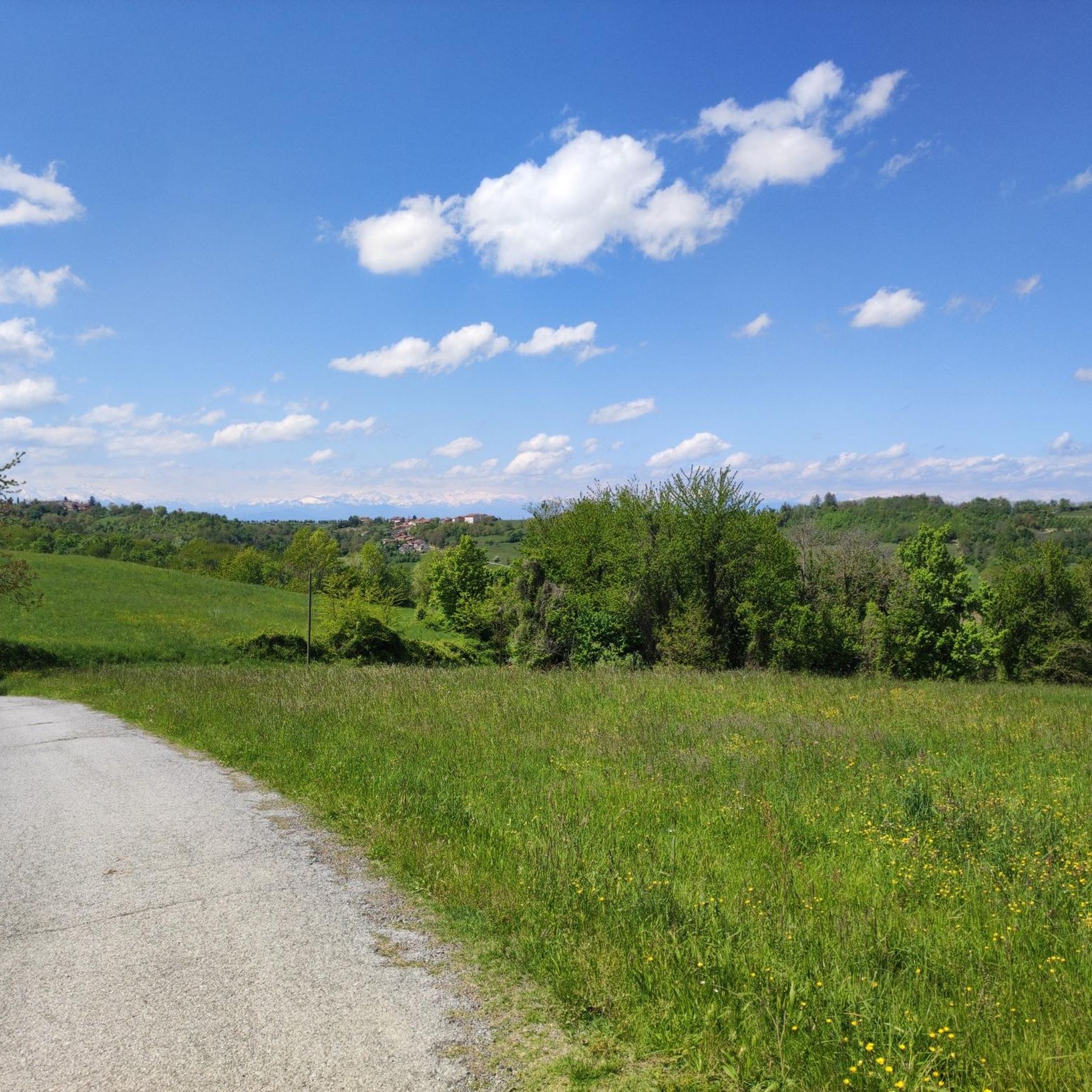
Hiking around Niella Tanaro offers diverse landscapes in Italy's Piedmont region. The area is characterized by rolling hills, lush greenery, and the Tanaro River. The broader topography includes extensive alpine landscapes alongside more limited flat and hilly areas, all crisscrossed by numerous brooks and waterways. Hikers can expect a blend of naturalistic, geological, and historical sights.
Best hiking trails around Niella Tanaro
- The most popular hiking route is Laghi di Briaglia — Ring tour, a 3.4 miles (5.5 km)…
Last updated: June 29, 2026
4.4
(24)
58
hikers
5.54km
01:36
130m
130m
Easy hike. Great for any fitness level. Easily-accessible paths. Suitable for all skill levels.
4.6
(19)
91
hikers
10.7km
03:00
210m
210m
Moderate hike. Good fitness required. Easily-accessible paths. Suitable for all skill levels.

Sign up for free
4.6
(21)
77
hikers
6.64km
01:58
190m
190m
Easy hike. Great for any fitness level. Easily-accessible paths. Suitable for all skill levels.
3.6
(7)
19
hikers
6.75km
01:54
140m
140m
Easy hike. Great for any fitness level. Easily-accessible paths. Suitable for all skill levels.
3.5
(6)
13
hikers
6.09km
01:46
160m
160m
Easy hike. Great for any fitness level. Easily-accessible paths. Suitable for all skill levels.
Get access to more routes and recommendations from other explorers.
Sign up for free
Already have an account?
Our route recommendations are based on thousands of hikes, rides, and runs completed by other people on komoot.
Start today with a free account
Your next adventure awaits.
Login or Signup
Tips from the Community

Breathtaking view, you can stop for a moment for a well-deserved refreshment.
0
0

San Bartolomeo, Niella Tanaro, along the Landandè path. Very ancient church, mentioned in a document from 1041, belonged to a Benedictine abbey, suppressed in the Napoleonic era. Well preserved, even if the probable use as a warehouse is evident.
0
0

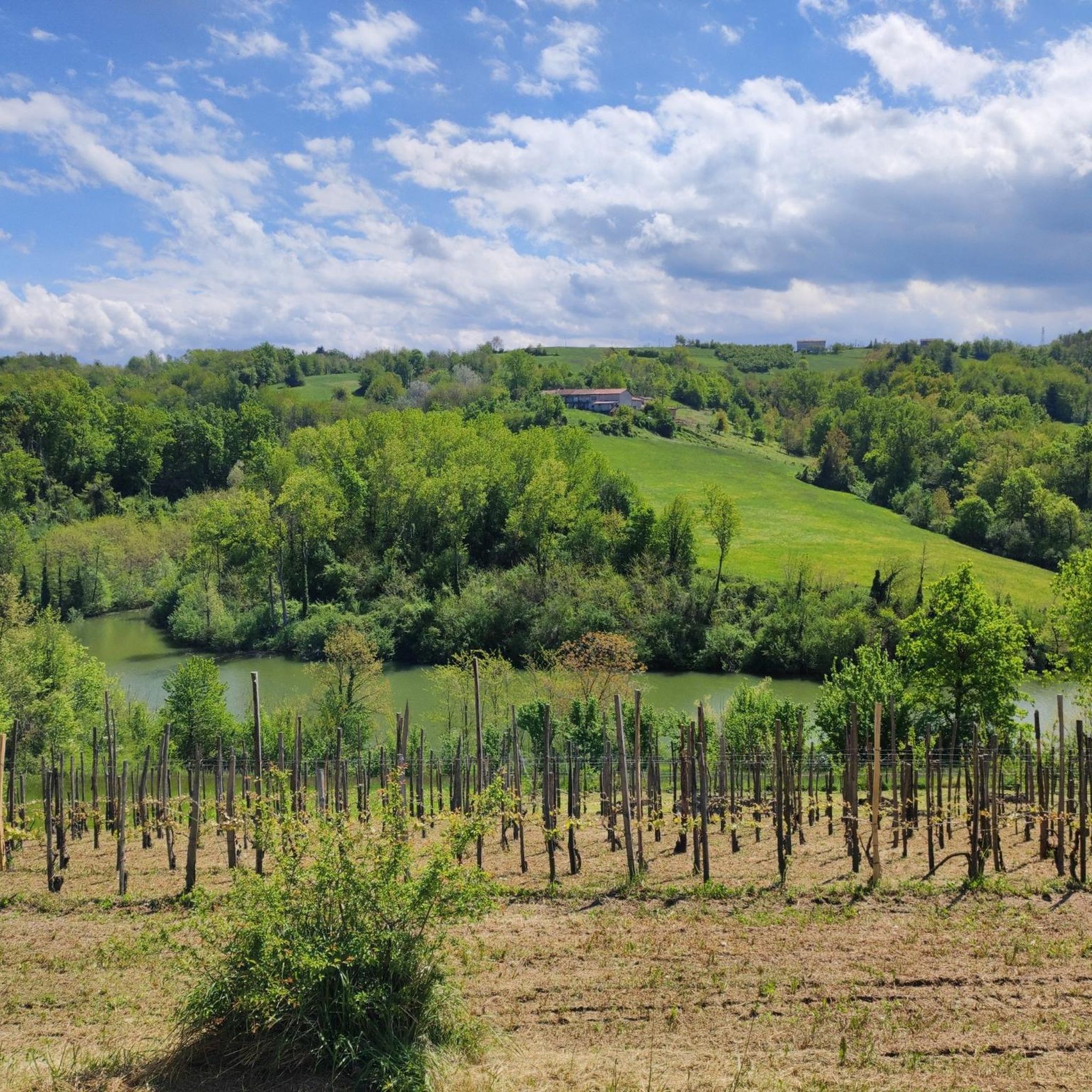
Visible from afar, this shrine dominates a suggestive landscape of vineyards and rolling hills, a crossing point between the Alta Langa and the most famous Langa, that of the vineyards. The climb from Bastia Mondovì is gradual and never extreme, the landscape that gradually widens then repays the efforts. Bring water supplies because there is none to be found, furthermore the exposure of the road is almost all to the South. The visit to the shrine repays the small detour necessary to reach it.
0
0

Shrine of San Bernardo with a view, excellent for a stop
0
0

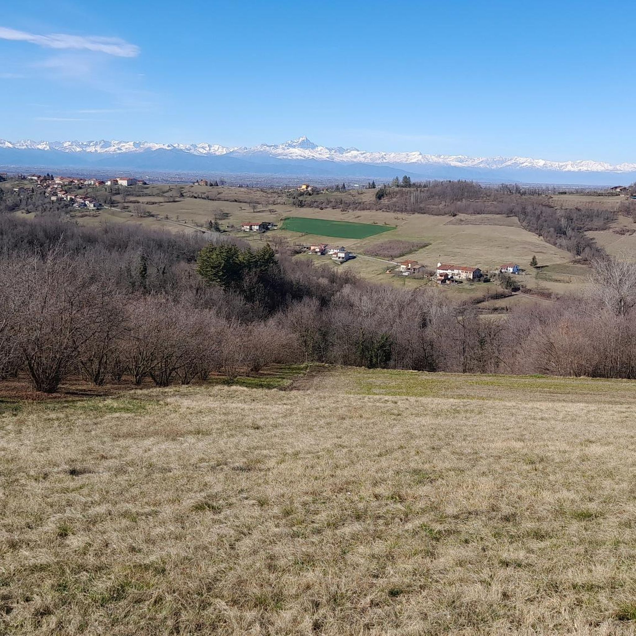
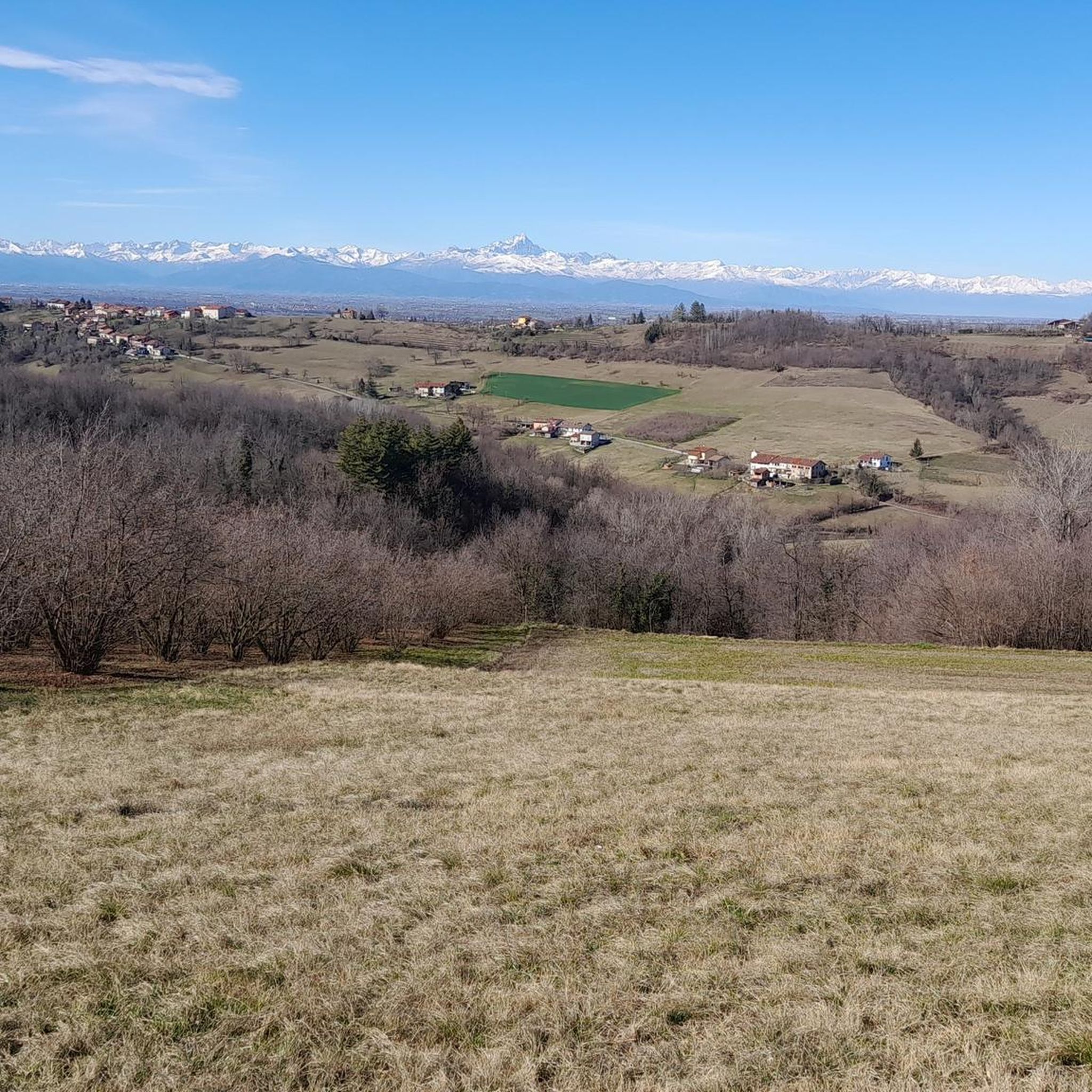
A wonderful panorama awaits you at this point.
14
0

The construction of the Shrine of St. Bernard dates back to the period 1947/1951. It was built on the highest hill in the area where, at that time, an elementary school and a small chapel stood. The work was financed with contributions from various organizations but above all thanks to the collaboration of many volunteers. In the churchyard, in the ossuary the bodies of eight partisans are collected and on the tombstones of the path of the Shrine are carved the names of about a thousand fallen in the struggle for liberation who, from September 1943 to April 1945 lost their lives in the Casotto valleys, Corsaglia, Ellero and in all the Langhe.
0
0

Memorial to the fallen of the Second World War
1
0
Panoramic point near the shrine with indication of the visible peaks
1
0
Frequently Asked Questions
How many hiking trails are available around Niella Tanaro?
There are over 120 hiking routes available in the Niella Tanaro area, offering a wide variety of experiences. These range from easy strolls to more challenging paths, catering to different fitness levels.
What kind of terrain can I expect on hikes in Niella Tanaro?
The terrain around Niella Tanaro is characterized by rolling hills, lush greenery, and river valleys, particularly along the Tanaro River. You'll find a blend of naturalistic, geological, and historical sights. The broader region also includes extensive alpine landscapes, offering diverse elevation changes. For example, the View of Cigliè and its castle – Chapel of San Giorgio loop from Cigliè covers varied terrain.
Are there any easy hiking trails suitable for beginners in Niella Tanaro?
Yes, Niella Tanaro offers many easy hiking options. Approximately 41 of the routes are classified as easy. A great example is the Laghi di Briaglia — Ring tour, which is a gentle 5.5 km loop around the lakes, perfect for a relaxed outing.
Can I find circular hiking routes in the Niella Tanaro area?
Yes, many of the trails around Niella Tanaro are circular. For instance, the Big Bench With View of Mondovì – Lakes of Briaglia loop from Briaglia is an easy 6.6 km circular path offering scenic views. Another option is the Lakes of Briaglia loop from Briaglia, a 4.8 km easy loop.
Are there any specific natural features or landmarks to look out for on hikes?
Absolutely. The region is rich in natural beauty and historical sites. You can explore the natural wonder of the 'Cave of Casnea' along the challenging 'Via Niella Tanaro' route. The area is also crisscrossed by numerous brooks and waterways, providing soothing sounds and fresh air. For panoramic views, consider routes like the Panoramic View – Lakes of Briaglia loop from Cimitero di Pascomonti.
Are the hiking trails around Niella Tanaro suitable for families with children?
Many trails in Niella Tanaro are suitable for families, especially the easier, shorter loops. The rolling hills and lush landscapes provide a pleasant environment for children to explore. Routes like the Laghi di Briaglia — Ring tour are generally well-suited for family outings.
Can I bring my dog on the hiking trails in Niella Tanaro?
Generally, dogs are welcome on hiking trails in the Niella Tanaro region. However, it's always advisable to keep your dog on a leash, especially in areas with wildlife or near livestock, and to check for any specific local regulations or signage on individual routes. Ensure you carry water for your pet and clean up after them.
What is the best time of year to go hiking in Niella Tanaro?
Niella Tanaro offers pleasant hiking conditions for much of the year. Spring and autumn are particularly ideal, with mild temperatures and beautiful scenery as the landscape changes. Summer can also be enjoyable, especially in the mornings or late afternoons, though some routes might be warmer. Winter hikes are possible, especially on lower elevation trails, but require appropriate gear.
Are there any historical sites or castles to explore near the hiking routes?
Yes, the area around Niella Tanaro is dotted with historical sites and castles. You can find the Cigliè Castle, which is visible from the View of Cigliè and its castle – Chapel of San Giorgio loop from Cigliè. Other notable castles in the vicinity include Carrù Castle and Castello dei Marchesi Incisa di Camerana. The Historic center of Ceva also offers a glimpse into the region's past.
What do other hikers say about the trails in Niella Tanaro?
The hiking trails in Niella Tanaro are highly rated by the komoot community, with an average score of 4.4 stars from over 280 reviews. Hikers often praise the diverse landscapes, the tranquility of the rolling hills, and the blend of natural and historical sights. Many appreciate the well-maintained paths and the variety of options for different skill levels.
Are there options for longer, more challenging hikes in the region?
While many routes are easy to moderate, there are options for more challenging hikes. The 'Via Niella Tanaro' route, for example, spans over 12 km with a significant elevation gain. The 'Sentiero Balcone Monregalese' is an extensive itinerary connecting various routes, with altitudes varying significantly up to 2382 meters at Mount Mondolè, offering a rich and challenging experience. More information about this route can be found on visitcuneese.it.
Is public transport available to reach trailheads, or is parking generally accessible?
While specific public transport options to all trailheads might be limited in this rural area, parking is generally accessible near popular starting points in Niella Tanaro and surrounding villages. It's recommended to check the specific trailhead information for parking availability when planning your hike.
Most popular routes around Niella Tanaro
Most popular attractions around Niella Tanaro

Get inspired with the komoot mobile app


Explore more
Browse the best Hikes in other regions.
