The best cycling routes around Rhauderfehn
4.6
(698)
3,023
riders
210
rides
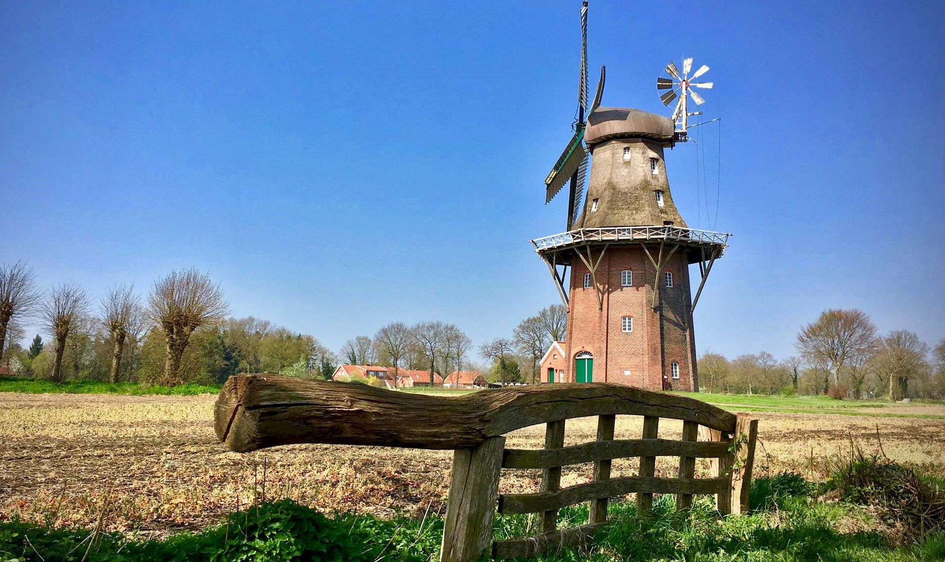
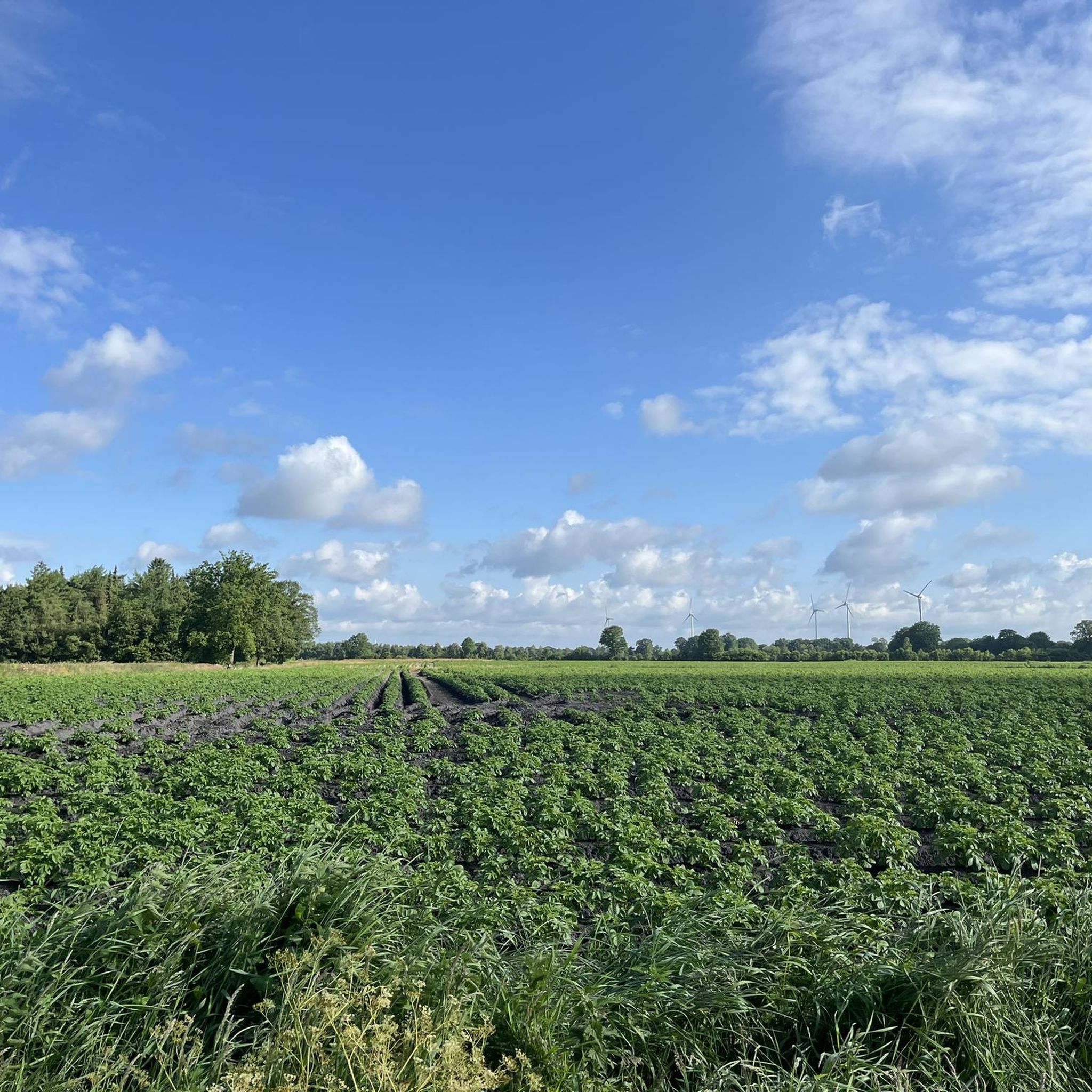
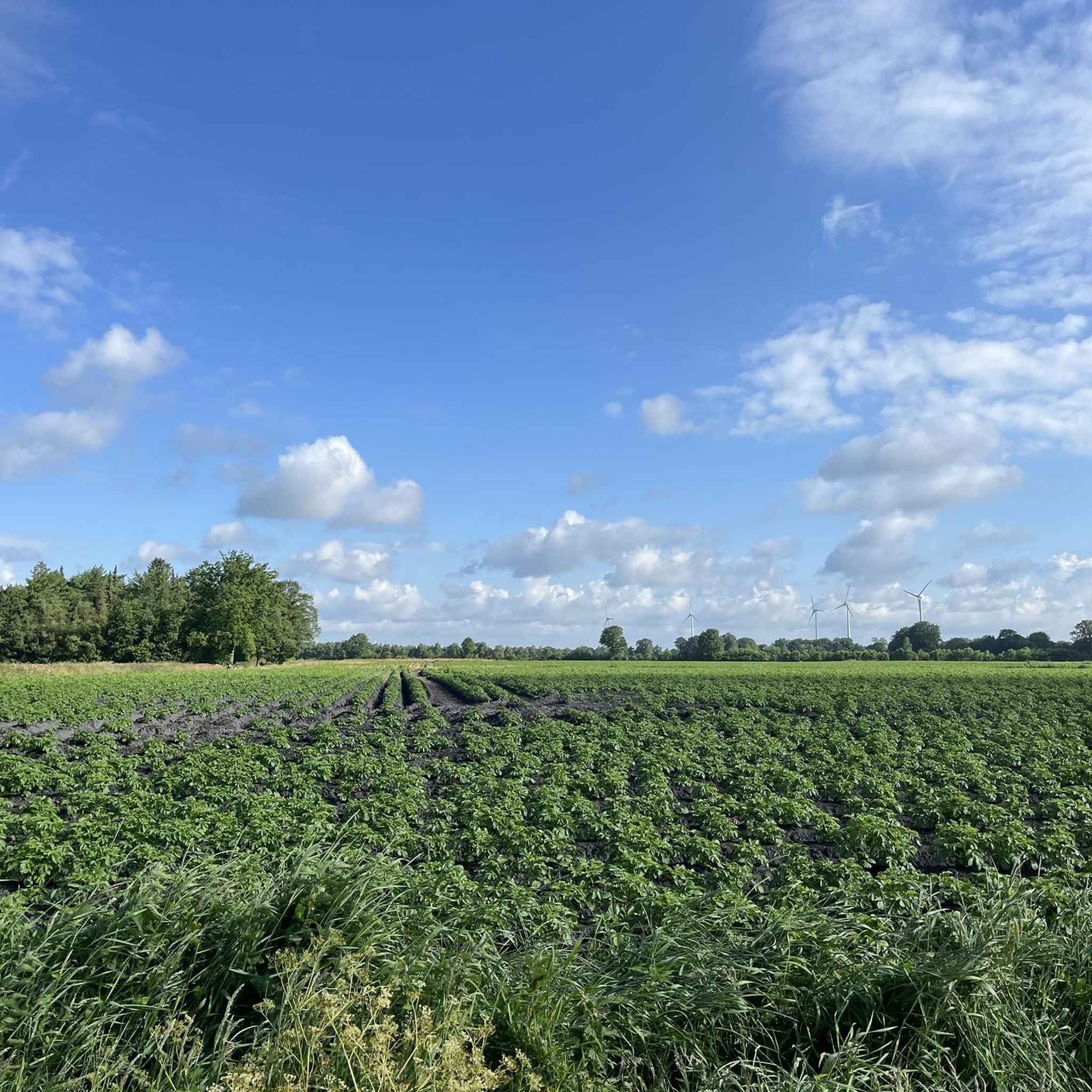
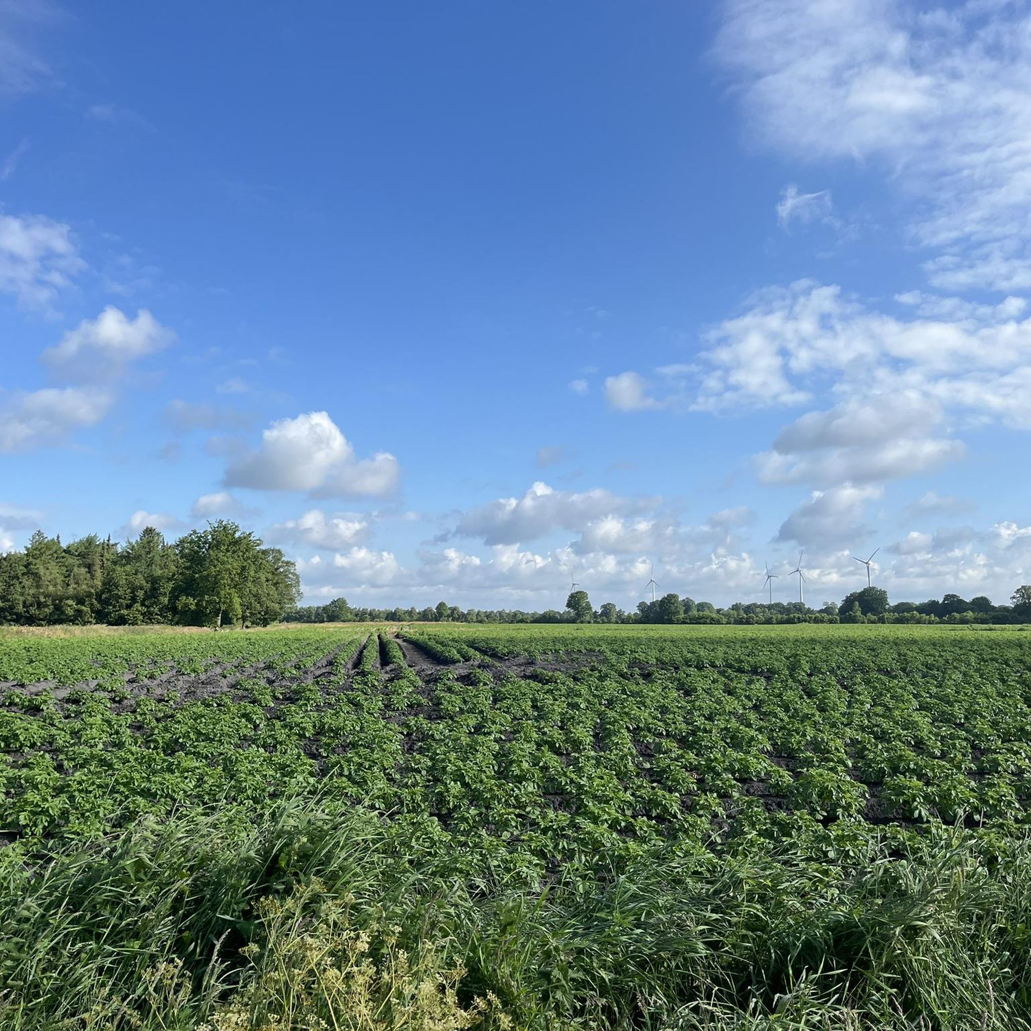
Touring cycling around Rhauderfehn is characterized by its distinctive "Fehnlandschaft," a flat landscape interwoven with numerous canals and historic windmills. Situated between the Ems and Jümme rivers in East Frisia, the region offers wide expanses, traditional hedgerows, and significant moorlands. The terrain is predominantly flat, making it suitable for touring cyclists of all abilities.
Best touring cycling routes around Rhauderfehn
- The most popular touring cycling route is Lengener Moor Path Cycle Path – Barßel Marina loop from Rhauderfehn, a…
Last updated: August 27, 2026
4.5
(53)
137
riders
36.0km
02:14
40m
40m
Moderate bike ride. Good fitness required. Mostly paved surfaces. Suitable for all skill levels.
4.4
(31)
101
riders
Moderate bike ride. Good fitness required. Mostly paved surfaces. Suitable for all skill levels.

Sign up for free
4.7
(39)
126
riders
33.2km
02:00
40m
40m
Moderate bike ride. Good fitness required. Mostly paved surfaces. Suitable for all skill levels.
4.7
(15)
74
riders
Moderate bike ride. Good fitness required. Mostly paved surfaces. Suitable for all skill levels.
4.8
(70)
170
riders
Easy bike ride. Great for any fitness level. Mostly paved surfaces. Suitable for all skill levels.
Get access to more routes and recommendations from other explorers.
Sign up for free
Already have an account?
Our route recommendations are based on thousands of hikes, rides, and runs completed by other people on komoot.
Start today with a free account
Your next adventure awaits.
Login or Signup
Other adventures around Rhauderfehn

Tips from the Community

You can cycle here very relaxed on smooth asphalt
0
0

Tip for dog lovers! The western route, past the Polder (Steckenpunkt 3-4), leads through a sheep farming area and is therefore unsuitable for taking dogs.
0
0

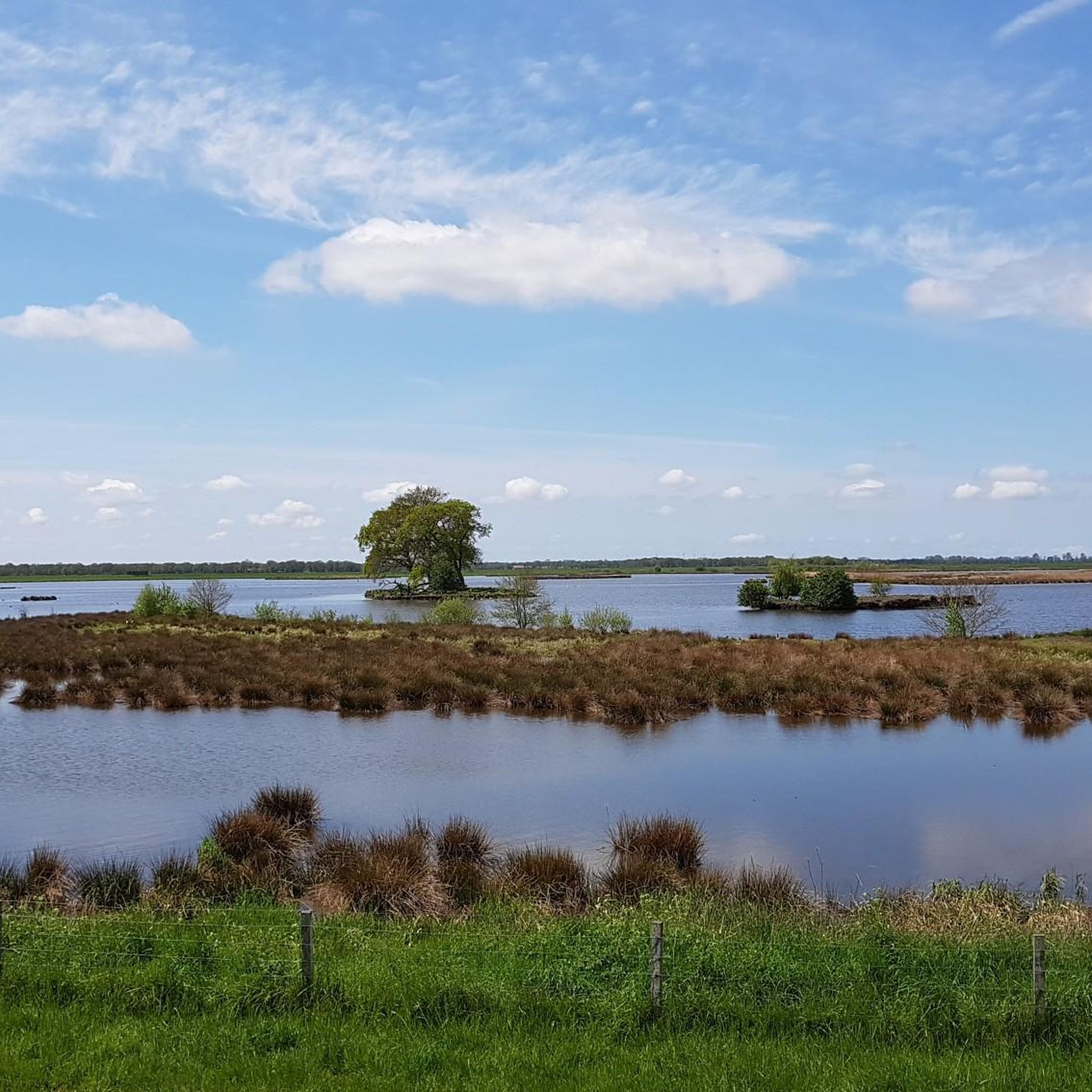
The Langholter Meer and Rhauder Meer is a protected landscape area in the district of Leer in the northwest of Lower Saxony.
0
0

Did you know that a sufficient water level was essential for the once busy shipping traffic on the fen canals? Therefore, locks, also called "Verlaate," were built. These prevented the tides from influencing the inner canal system and ensured that ships always had sufficient water under their keels. Ostrhauderfehn once had two important locks: one at the end of the main fen canal near the former "Verlaatshus" (a former barn) and another at the 1st South Bay, which maintained the water level in the upper fen area. However, in the 1950s, both locks were removed and replaced with brick weirs. In 1990, a historic box lock was rebuilt at the end of the main fen canal as part of the "Fehn Program." This modern lock system is equipped with double flood and ebb gates and can accommodate ships and pleasure craft up to 55 meters long and 5.4 meters wide. Thanks to this innovation, Ostrhauderfehn once again has a direct connection to East Frisia's extensive inland waterway network! This lock is often mistakenly called the Holterfehn Lock. This lock is also located directly on the tour route and is easily accessible. Several benches are available, inviting you to listen to the sound of the water.
1
0
For centuries, floods and flood disasters have repeatedly occurred in the river valleys, especially in spring and autumn. Storm surges pushed enormous volumes of water from the North Sea into the rivers, often resulting in flooding lasting weeks. The damage to agriculture was enormous. Until the first half of the last century, attempts to control the water overload with wind-dependent water pumping mills were unsuccessful. Only the construction of the Leda Barrage near Leer in 1954 and the associated reorganization of drainage in the Leda-Jümme area brought a sustainable solution. Today, modern pumping stations with powerful, electronically controlled pumps ensure a constant water level in the lowland areas, some of which lie below sea level.
2
0

The East Frisian hiking trail follows the old narrow-gauge railway line from Rhauderfehn to Ihrhove on natural ground and then via Leer to Dornum.
2
0

These and numerous other bridges, along with the canal, adorn Papenburg's city center.
3
0

Frequently Asked Questions
How many touring cycling routes are available in Rhauderfehn?
Rhauderfehn offers a wide selection of touring cycling routes, with over 200 routes available on komoot. The majority of these, around 160, are classified as easy, making the region very accessible for various skill levels.
What is the typical terrain like for cycling in Rhauderfehn?
The terrain in Rhauderfehn is predominantly flat, characterized by its unique "Fehnlandschaft." You'll cycle alongside numerous canals, past historic windmills, and through wide expanses of moorlands and traditional hedgerows. This flat landscape makes it ideal for relaxed touring cycling.
Are there any family-friendly cycling routes in Rhauderfehn?
Yes, Rhauderfehn is very family-friendly for cyclists. The municipality offers several themed routes, such as the R1 - Kleinbahnroute (20 km), R2 - Wiekentour (24 km), R3 - Moorroute (35 km), and R4 - Hammrichroute (34 km), all designed with families in mind, often featuring rest areas. Many of the 161 easy routes available on komoot are also suitable for families, like the East Frisia hiking trail – Bird Sanctuary loop from Rhauderfehn.
What natural features can I expect to see along the cycling routes?
While cycling in Rhauderfehn, you'll encounter a rich variety of natural features. The landscape is defined by its extensive network of canals, significant moorlands like Holter Hammrich and Jammertal, and traditional hedgerows. Routes often follow historic waterways such as the Fehntjer Tief, offering tranquil views of the typical Frisian landscape.
Are there any circular cycling routes in the Rhauderfehn area?
Yes, many of the touring cycling routes in Rhauderfehn are circular, allowing you to start and end at the same point. Examples include the popular Lengener Moor Path Cycle Path – Barßel Marina loop from Rhauderfehn and the Brig Friederike von Papenburg – Richard Bridge, Papenburg loop from Rhauderfehn.
What do other cyclists say about touring cycling in Rhauderfehn?
The touring cycling routes in Rhauderfehn are highly regarded by the komoot community, with an average rating of 4.7 stars from over 500 reviews. Cyclists often praise the flat, well-maintained paths, the unique canal landscape, and the peaceful natural environment that makes for a relaxing ride.
What cultural or historical attractions can I visit while cycling in Rhauderfehn?
Beyond the natural beauty, Rhauderfehn offers several cultural and historical points of interest. You can visit the Stickhausen Castle, explore the Old Town of Leer, or see the historic ships at Main canal Papenburg with museum ship. The Fehn- and Schifffahrtsmuseum Westrhauderfehn also provides insights into local history.
Are there any specific routes that highlight the traditional windmills of the region?
Yes, the region's landscape is dotted with historic windmills, and many routes offer views of these iconic structures. The Westrhauderfehn Harbor – Holter Bridge loop from Rhauderfehn is one such route that allows you to experience the typical Frisian scenery, including its windmills.
Can I find places to eat or rest along the cycling paths?
Yes, several routes, particularly the local themed tours like the R2 - Wiekentour and R4 - Hammrichroute, are known to have designated rest areas and dining options. The Westrhauderfehn Harbor also features a pleasant promenade with small shops and restaurants, perfect for a break.
What is the best time of year for touring cycling in Rhauderfehn?
The flat terrain of Rhauderfehn makes it suitable for cycling for much of the year. Spring and summer are particularly pleasant, with milder weather and the landscape in full bloom. The region's open nature means it's generally accessible, but checking local weather forecasts is always advisable.
Are there any routes that are particularly good for spotting wildlife or birds?
The moorland areas and nature reserves, such as Holter Hammrich and Jammertal, are excellent for birdwatching and observing local flora and fauna. The East Frisia hiking trail – Bird Sanctuary loop from Rhauderfehn specifically leads through natural areas known for their birdlife.
Are there any routes that are particularly easy for a relaxed ride?
Absolutely. With 161 easy routes available, Rhauderfehn is perfect for relaxed rides. A great option is the Pig enclosure with mud bath – Hinni’s Nature Discovery Trail loop from Rhaude, which offers a gentle 20.4 km ride through pleasant surroundings.
Most popular routes around Rhauderfehn
Most popular attractions around Rhauderfehn

Get inspired with the komoot mobile app


Explore more
Browse the best Cycling routes in other regions.
