The best mountain hikes around Peveragno
4.2
(4)
38
hikers
3
hikes
Mountaineering routes around Peveragno traverse the rugged terrain of the Maritime Alps, offering challenging ascents and panoramic views. The region is characterized by prominent peaks, deep valleys, and a mix of alpine meadows and forested slopes. These routes often lead to high-altitude refuges and provide access to diverse mountain environments. The landscape is shaped by significant elevation changes, making it ideal for experienced mountaineers.
Best mountaineering routes around Peveragno
- The most popular mountaineering route is Monte Mondolé – Trucca Ceresole…
Last updated: October 11, 2026
12
hikers
11.5km
04:35
890m
890m
Moderate mountaineering route. Good fitness required. Easily-accessible paths. Suitable for all skill levels.
3.5
(2)
11
hikers
10.7km
05:32
1,080m
1,080m
Hard mountaineering route. Very good fitness required. Sure-footedness, sturdy shoes and alpine experience required.

4.0
(1)
7
hikers
10.0km
03:59
780m
780m
Moderate mountaineering route. Good fitness required. Easily-accessible paths. Suitable for all skill levels.
5.0
(1)
5
hikers
Hard mountaineering route. Very good fitness required. Sure-footedness, sturdy shoes and alpine experience required.
3
hikers
10.0km
05:37
1,080m
1,080m
Hard mountaineering route. Very good fitness required. Sure-footedness, sturdy shoes and alpine experience required.
Our route recommendations are based on thousands of hikes, rides, and runs completed by other people on komoot.
Start today with a free account
Your next adventure awaits.

Tips from the Community

Located at 1,928 meters above sea level in the heart of the homonymous Natural Park, this small alpine body of water lies in a picturesque grassy hollow right at the foot and start of the famous Torinesi and Genovesi canals. Next to the lake is the Rifugio Garelli with the adjacent botanical station "Danilo Re". Being a protected area with a very high biodiversity value, it is the ideal place to stop and observe up close the rich flora typical of the park and, with a bit of attention, spot the chamois and marmots that inhabit the area.
0
0

Beautiful and direct ascent from Don Barbera
1
0

A beautiful stretch of ridge that goes from Cima Rossa to Cima Besimauda. Pay attention to the weather forecast for the risk of thunderstorms. If you hike in the sun, bring water with you, as there are no fountains except at the bottom of the valley. The stretch is challenging but doable with due caution.
0
0

Great view. You can see the Pis del Pesio waterfalls on clear days
0
0

Fog, fog and heat... lots of rhododendrons... genepy... and ski lifts...... in winter its reason undoubtedly increases. It's a shame you walk on a dirt road serving the lifts
0
0

beautiful day. made a loop to Prea where we started
1
0

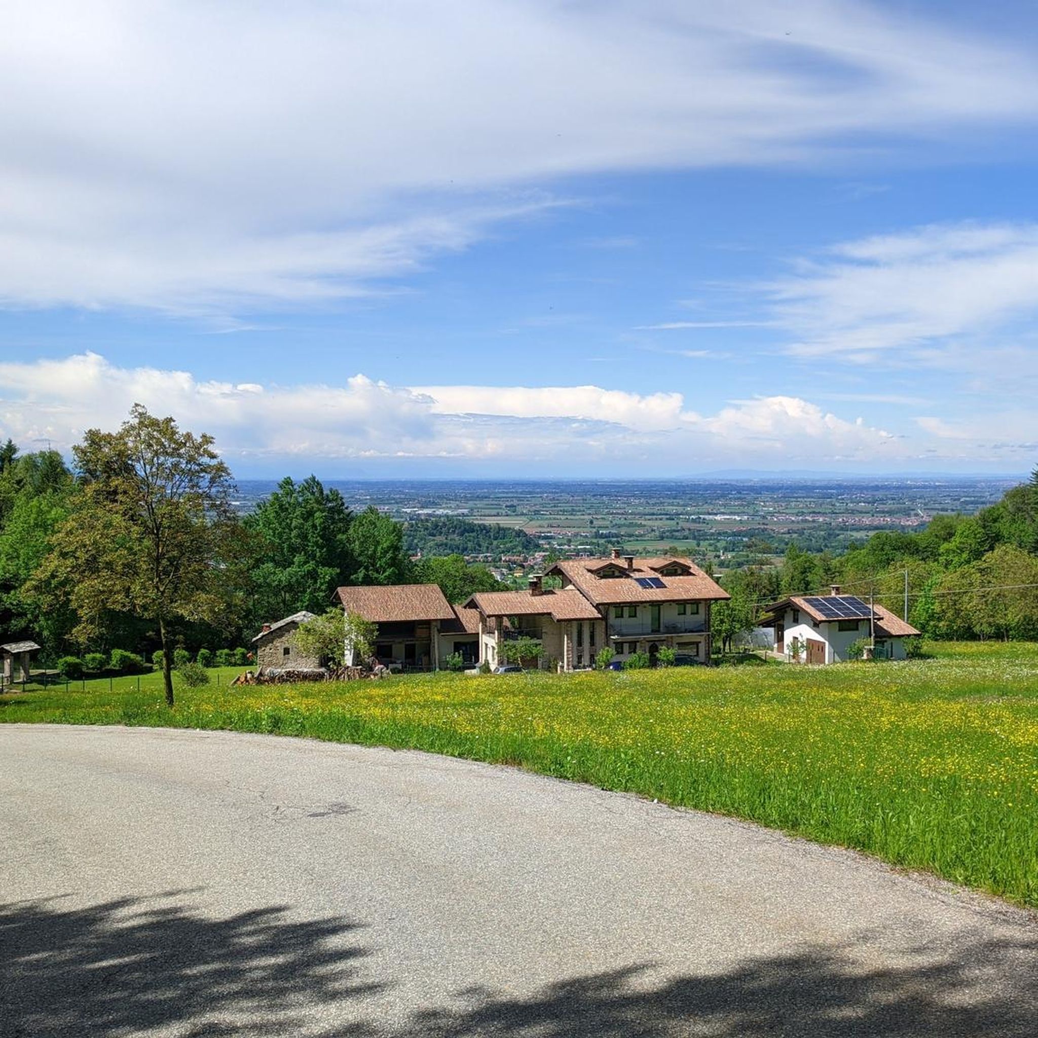
Starting point for various hiking tours, and there is no shortage of mountain bikes
1
0

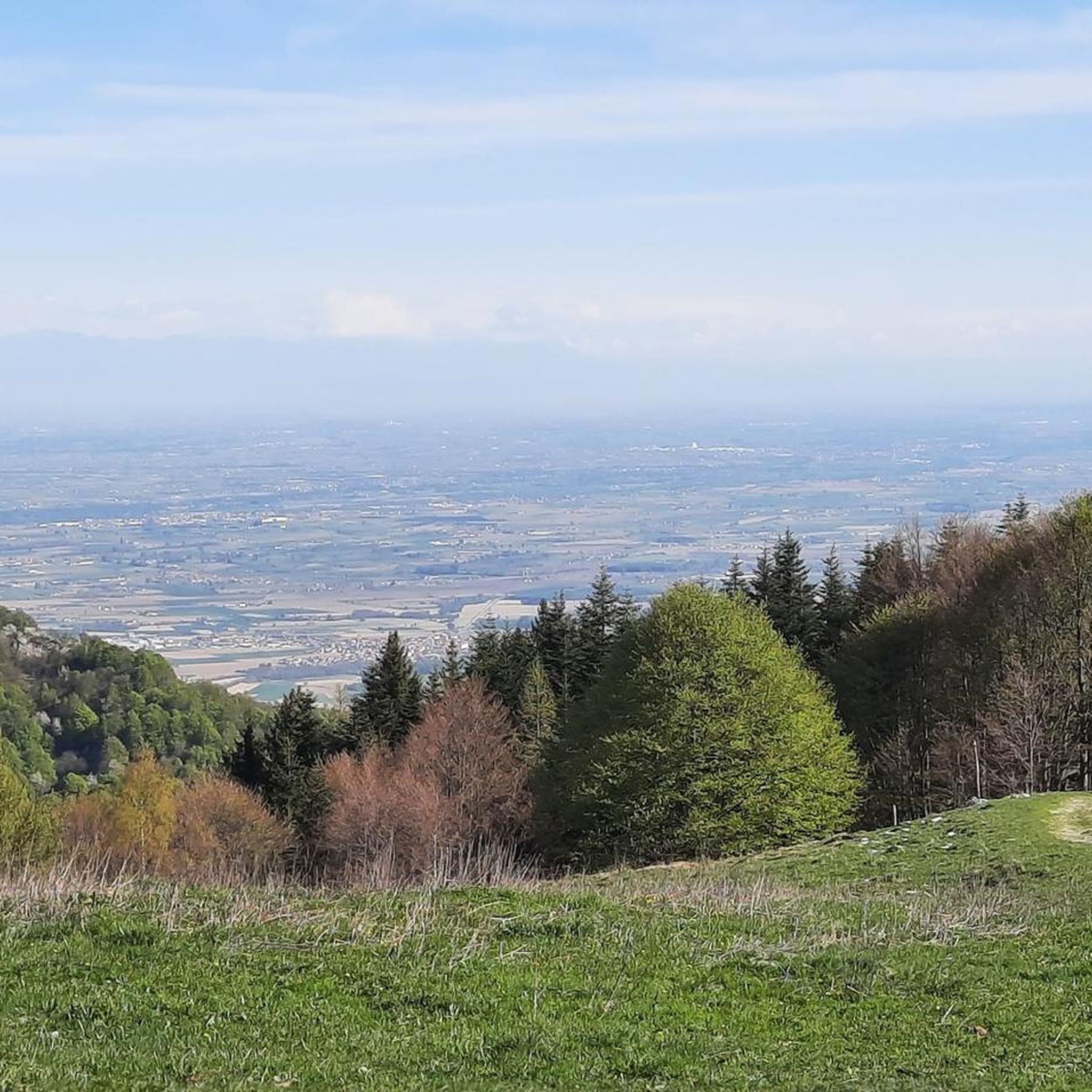
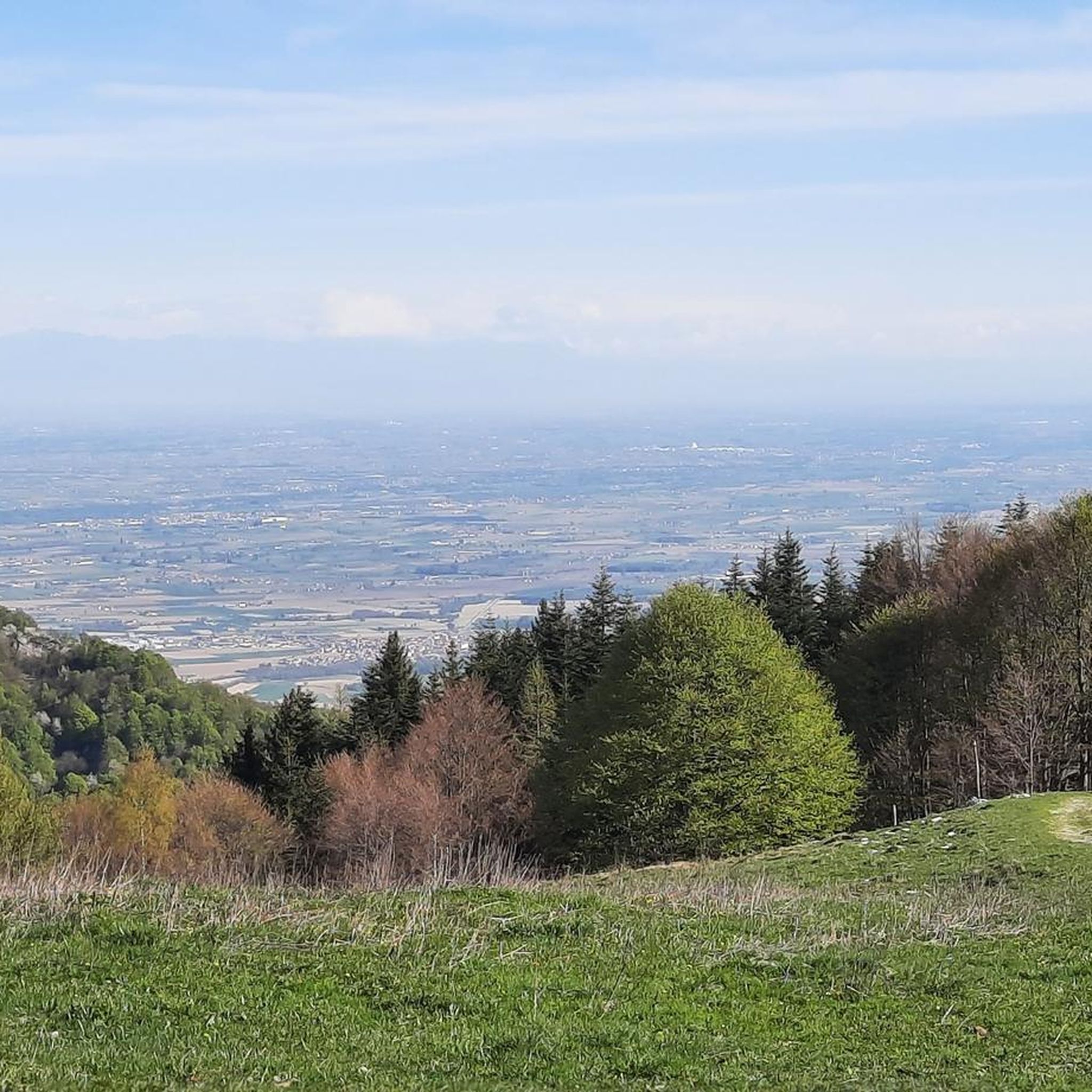
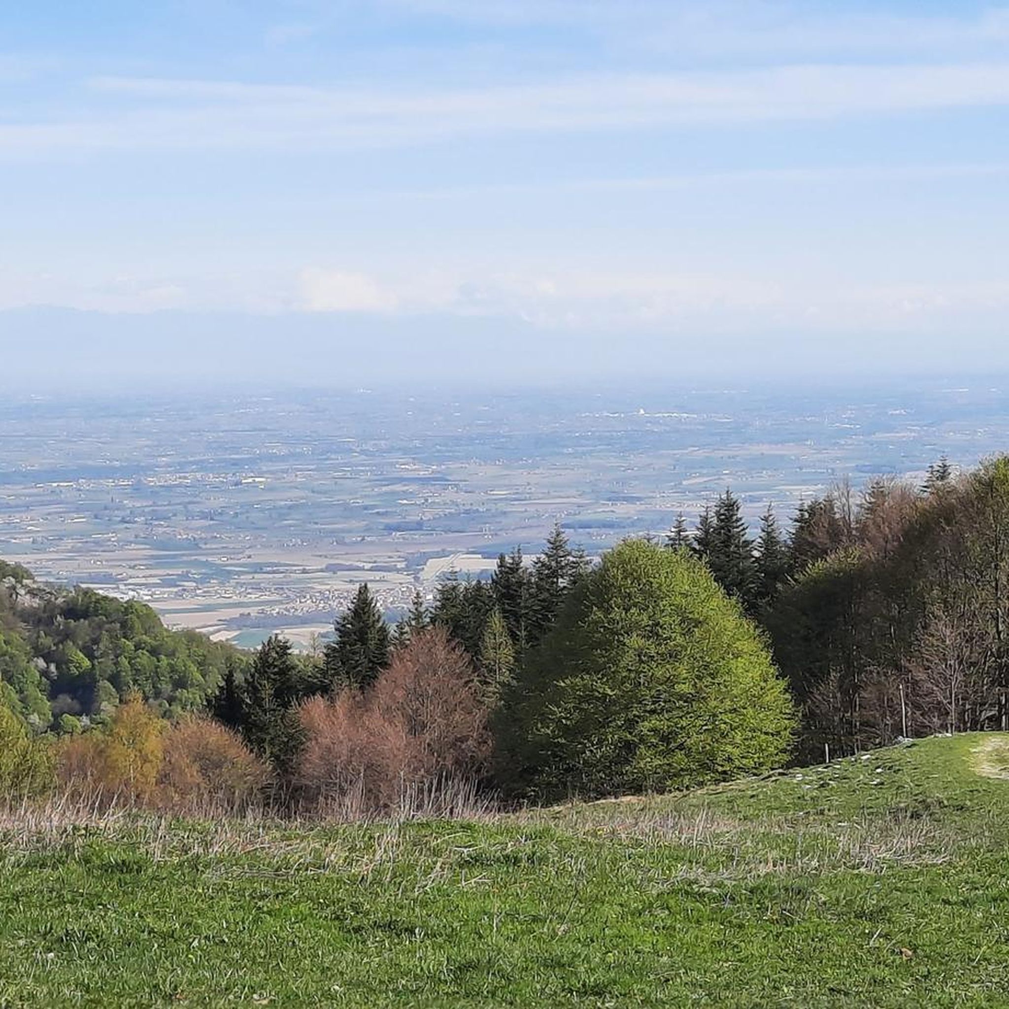
Rocky peak with a view over the entire Cuneo area
1
0
Frequently Asked Questions
How challenging are the mountaineering routes around Peveragno?
The mountaineering routes around Peveragno are primarily designed for experienced mountaineers. Out of the five routes listed, four are rated as difficult, offering significant elevation changes and rugged terrain. There is one moderate route available, the Cima della Pigna loop from Monte Pigna, which still features high-altitude paths with scenic vistas.
What are the typical lengths and durations of mountaineering routes in Peveragno?
The mountaineering routes in Peveragno typically range from approximately 6.5 to 8 miles (10.5 to 13 km) in length. Most routes require between 4.5 to 6 hours to complete, depending on your pace and the specific trail. For example, the Monte Mondolé – Trucca Ceresole loop from Artesina is 7.9 miles (12.7 km) and takes about 5 hours 43 minutes.
Are there any circular mountaineering routes available in Peveragno?
Yes, all the mountaineering routes highlighted in this guide are circular loops. This means you will start and finish at the same point, offering convenient exploration of the region's peaks and valleys. Examples include the Cima Praviné loop from Pradeboni and the Cima Durand – Colla Bauzano loop from Artesina.
When is the best time of year to go mountaineering in Peveragno?
The best time for mountaineering in the Peveragno area is generally from late spring to early autumn (June to September). During these months, the weather is typically more stable, snow has melted from higher elevations, and mountain huts are usually open. Always check local weather forecasts and trail conditions before heading out, as alpine weather can change rapidly.
What essential gear should I pack for mountaineering in the Peveragno area?
Given the challenging nature of these routes, essential gear includes sturdy mountaineering boots, appropriate layered clothing for varying weather conditions, a waterproof jacket, a map and compass (or GPS device), sufficient water and food, a first-aid kit, and sun protection. For more technical routes, consider a helmet and trekking poles. Always be prepared for sudden weather changes in the Maritime Alps.
Are there any family-friendly mountaineering routes suitable for children around Peveragno?
The mountaineering routes around Peveragno are generally quite demanding, with most rated as difficult. While there is one moderate option, the Cima della Pigna loop from Monte Pigna, it still involves high-altitude paths. For families with younger children or those seeking less strenuous options, it might be advisable to look for easier hiking trails in the valleys or consider shorter sections of these routes if conditions allow.
Which mountaineering routes offer the best scenic viewpoints?
Many routes in the Peveragno area offer expansive views across the alpine landscape. The Monte Mondolé – Trucca Ceresole loop from Artesina is known for its panoramic vistas. Similarly, the Cima della Pigna loop from Monte Pigna features high-altitude paths with scenic views of the surrounding peaks, characteristic of the Maritime Alps.
What natural attractions can I see near the mountaineering trails?
The Peveragno area is rich in natural beauty. You can find several stunning waterfalls, such as the Saut Waterfalls, Waterfall Gias Fontana, and Pis del Pesio Waterfalls. There are also beautiful alpine lakes like Lake Terrasole and Rivoira Lake, which can be explored in conjunction with your mountaineering adventures.
Are there opportunities for wild swimming near the mountaineering trails?
While the primary focus of these routes is mountaineering, the region does feature several beautiful lakes that could offer opportunities for a refreshing dip, depending on local regulations and water temperatures. Notable lakes include Lake Terrasole, Rivoira Lake, and Marguareis Lake. Always check for local signage regarding swimming and be mindful of the cold alpine waters.
What do other mountaineers enjoy the most about mountaineering in Peveragno?
The mountaineering routes around Peveragno are highly rated by the komoot community, with an average score of 3.0 stars. Mountaineers often praise the challenging ascents, the diverse mountain environments ranging from alpine meadows to forested slopes, and the rewarding panoramic views from the prominent peaks. The sense of accomplishment after tackling these rugged trails is a common highlight.
Where can I find parking and trailheads for mountaineering routes near Peveragno?
Trailheads for mountaineering routes in the Peveragno area are often located near mountain villages or ski resorts that provide access to the higher elevations. For instance, routes like the Monte Mondolé – Trucca Ceresole loop and Cima Durand – Colla Bauzano loop start from Artesina, where parking facilities are typically available. The Rifugio Piero Garelli loop starts from Parcheggio Pian delle Gorre, indicating a designated parking area.
Most popular routes around Peveragno
Most popular attractions around Peveragno

Get inspired with the komoot mobile app


Explore more
Browse the best Mountain Hikes & Routes in other regions.
