The best running trails around Chiusa Di Pesio
4.3
(15)
653
runners
36
runs
Jogging routes around Chiusa Di Pesio traverse a diverse landscape, characterized by ancient chestnut trees, dense fir and beech forests, and the imposing Marguareis massif. The region features the Pesio River, which flows through the area, and is part of the Marguareis Park, known for its significant karstic systems and extensive trail networks. This mountainous terrain offers a variety of paths, from gentle routes to more challenging mountain trails, catering to different fitness levels.
Best jogging routes around Chiusa Di…
Last updated: June 29, 2026
157
runners
27.6km
04:33
1,460m
1,460m
Hard run. Very good fitness required. Sure-footedness, sturdy shoes and alpine experience required.
35
runners
42.8km
07:59
2,740m
2,750m
Hard run. Very good fitness required. Sure-footedness, sturdy shoes and alpine experience required.

Sign up for free
41
runners
16.0km
03:00
1,070m
1,070m
Hard run. Very good fitness required. Sure-footedness, sturdy shoes and alpine experience required.
38
runners
22.9km
03:26
1,110m
1,110m
Hard run. Very good fitness required. Sure-footedness, sturdy shoes and alpine experience required.
30
runners
12.3km
01:17
120m
120m
Moderate run. Good fitness required. Mostly paved surfaces. Suitable for all skill levels.
Get access to more routes and recommendations from other explorers.
Sign up for free
Already have an account?
Our route recommendations are based on thousands of hikes, rides, and runs completed by other people on komoot.
Start today with a free account
Your next adventure awaits.
Login or Signup
Popular around Chiusa Di Pesio
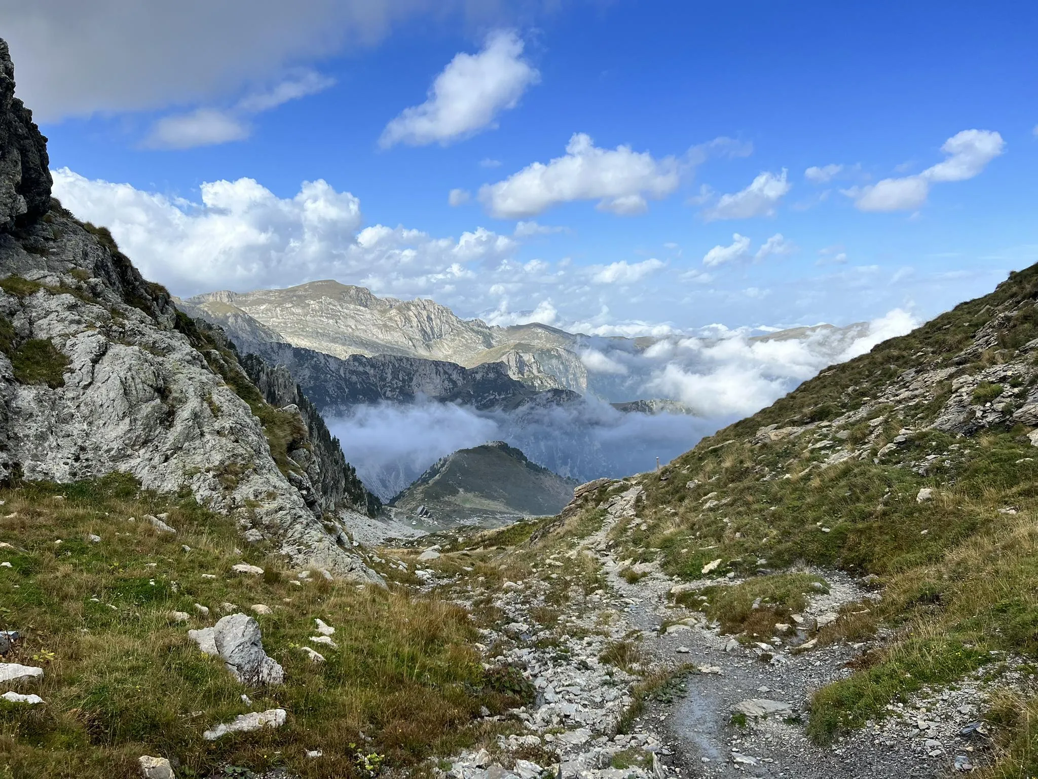
Explore the highest peak in Italy's Ligurian Alps – Giro del Marguareis

GTA South Piedmont — Hiking in Italy's Occitan valleys
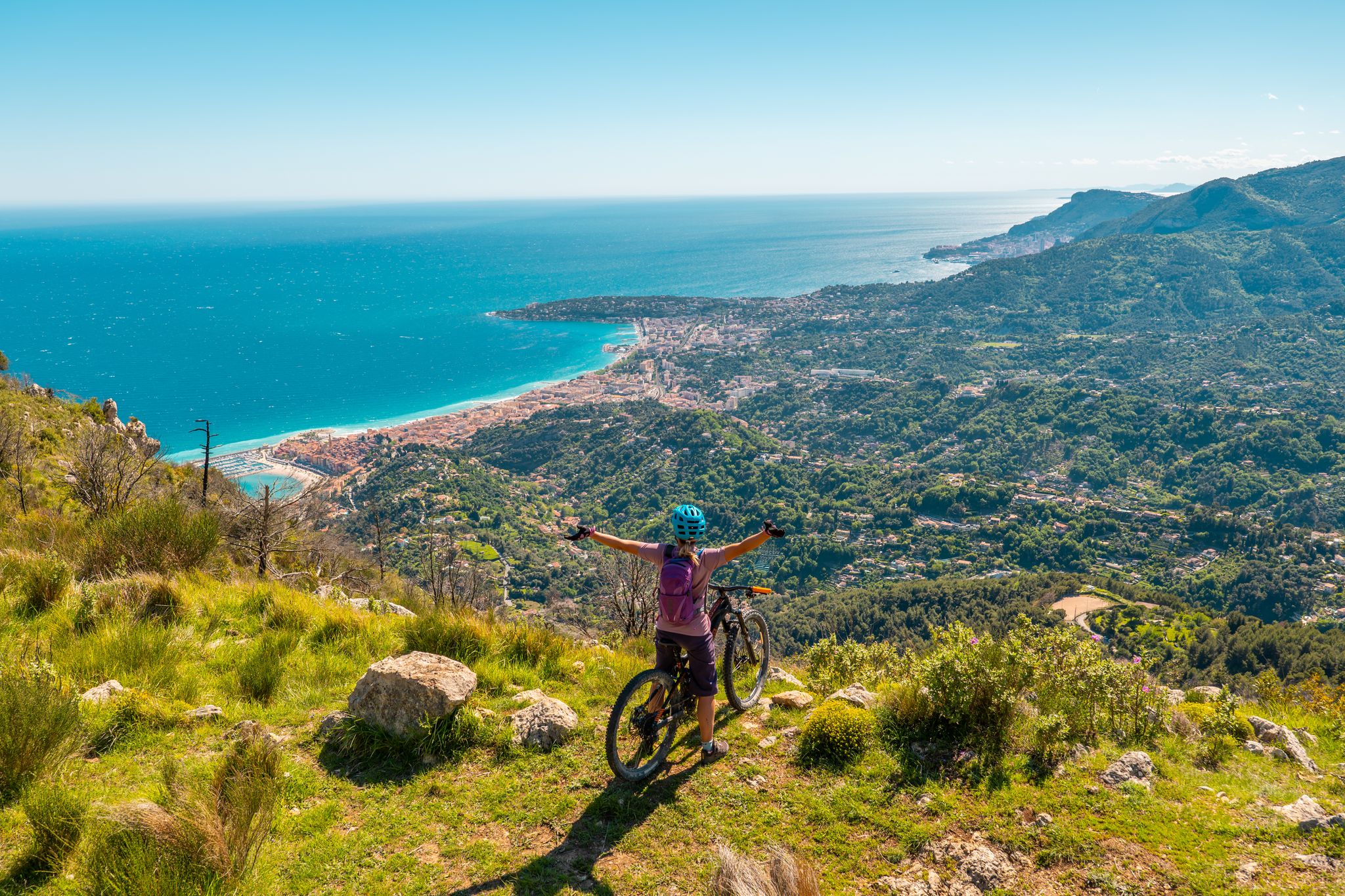
RivierALP – MTB routes from alpine passes to the Riviera
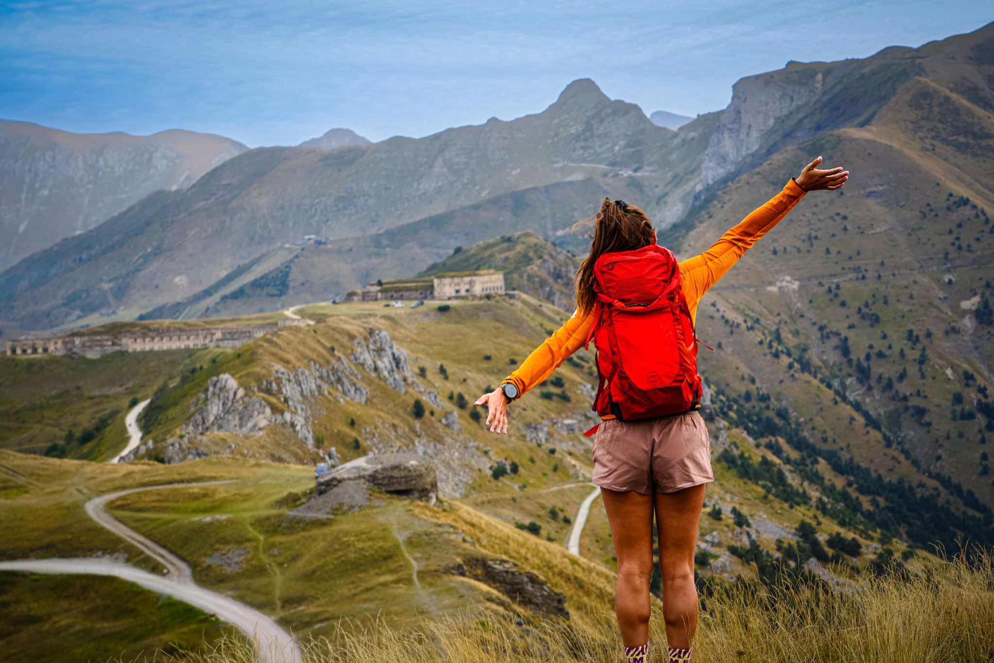
RivierALP – great hikes between the Alps and the Mediterranean
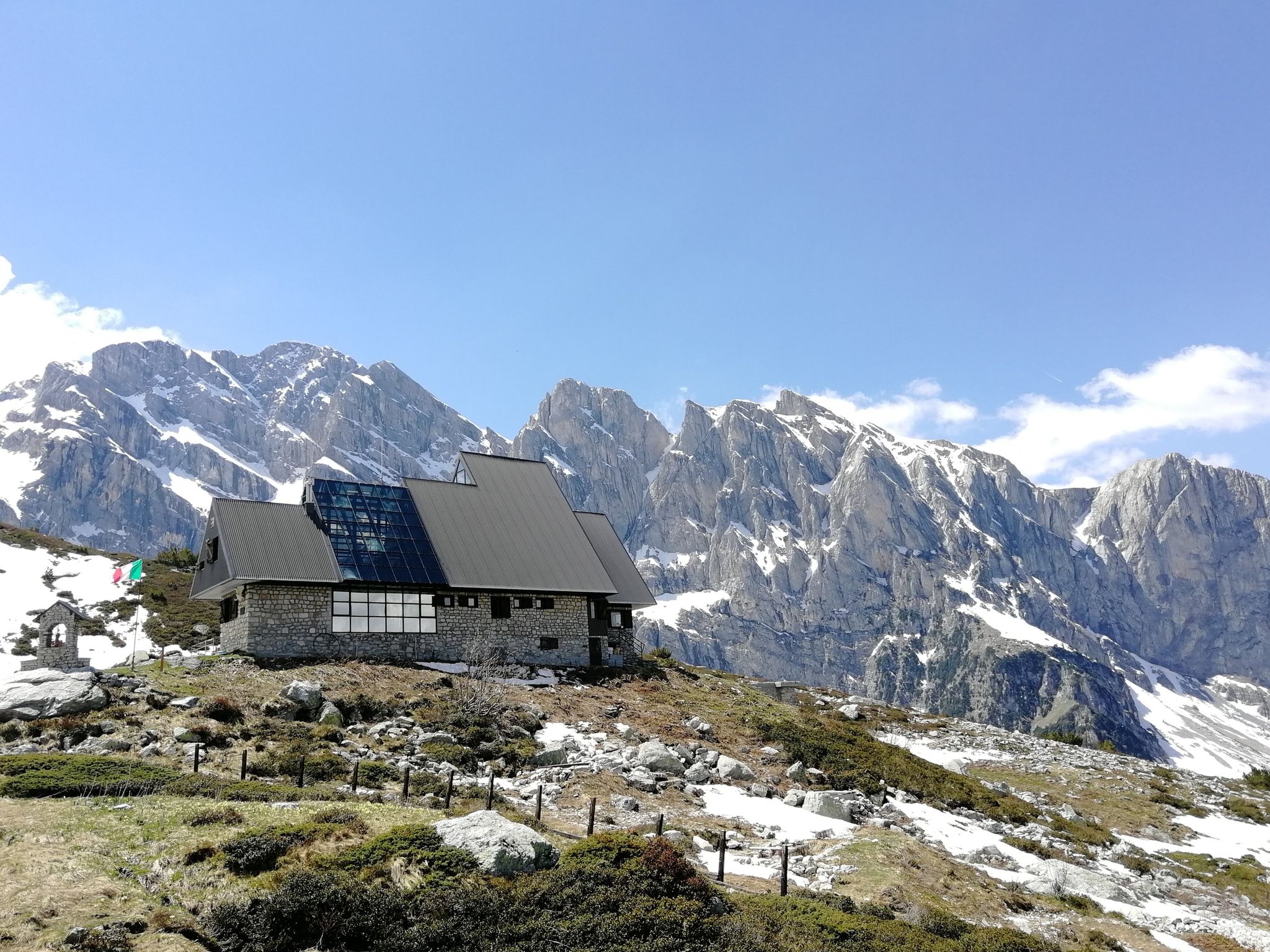
Marguareis Tour – discover caves, ravines and karstic rocks in Italy
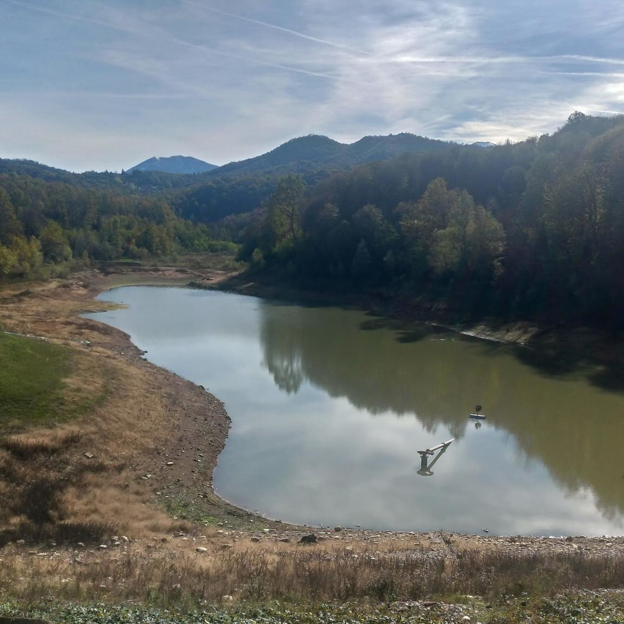
Hiking around Chiusa Di Pesio
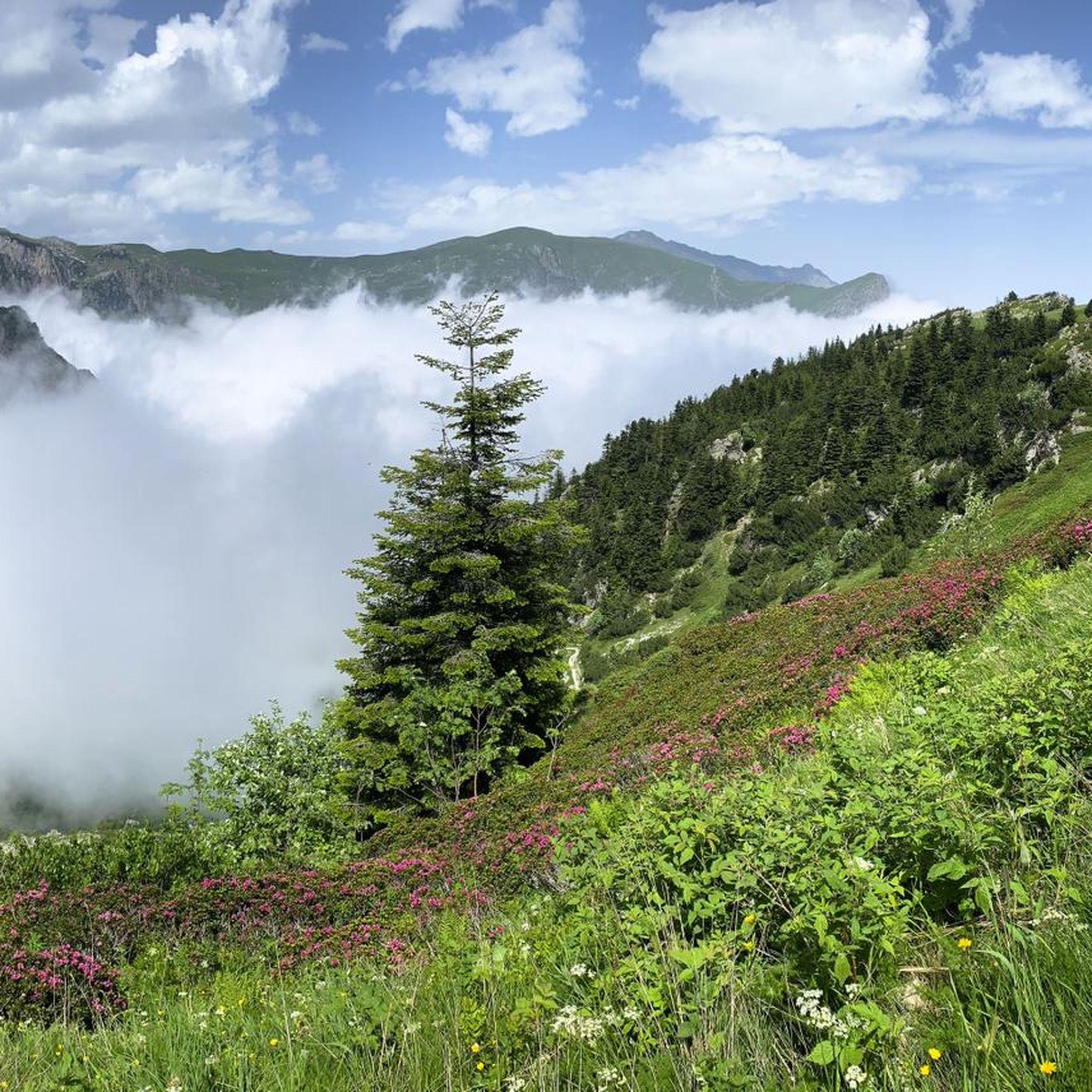
MTB Trails around Chiusa Di Pesio
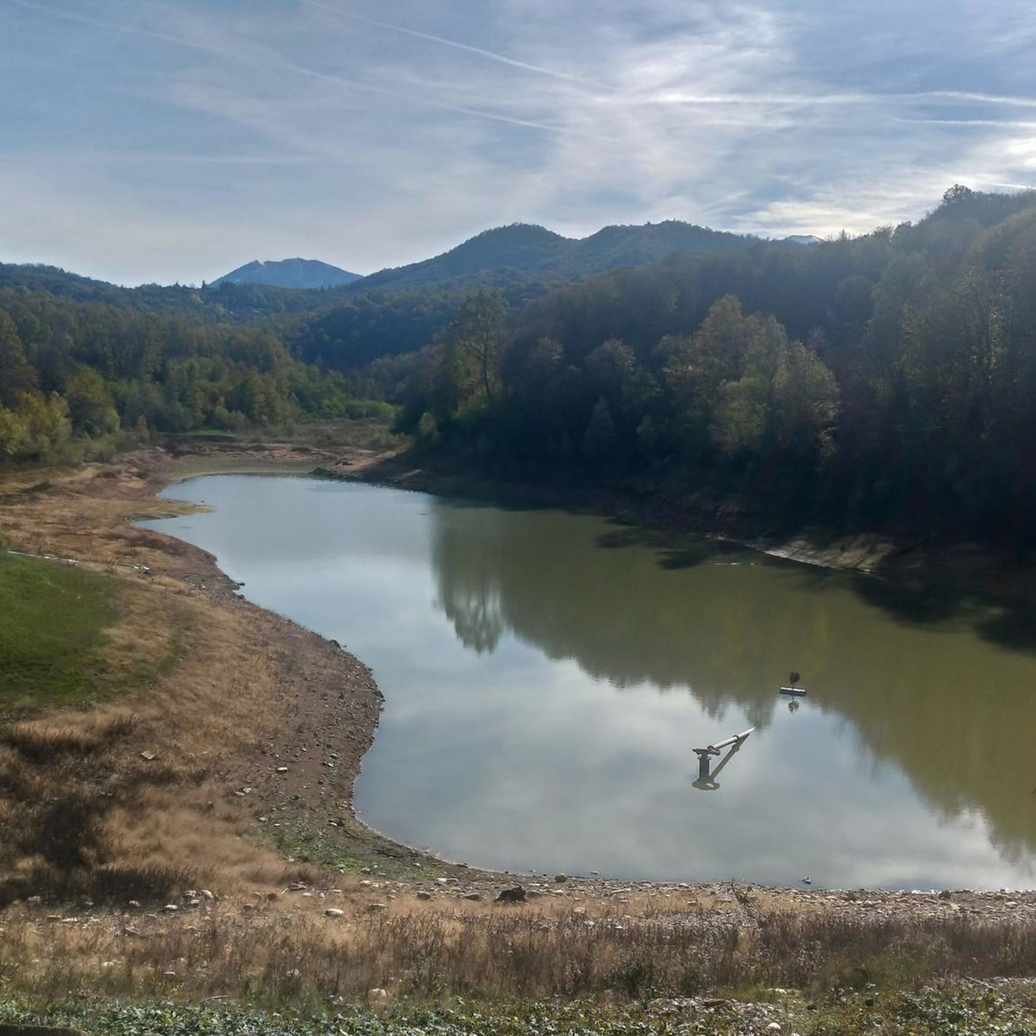
Road Cycling Routes around Chiusa Di Pesio

Gravel biking around Chiusa Di Pesio
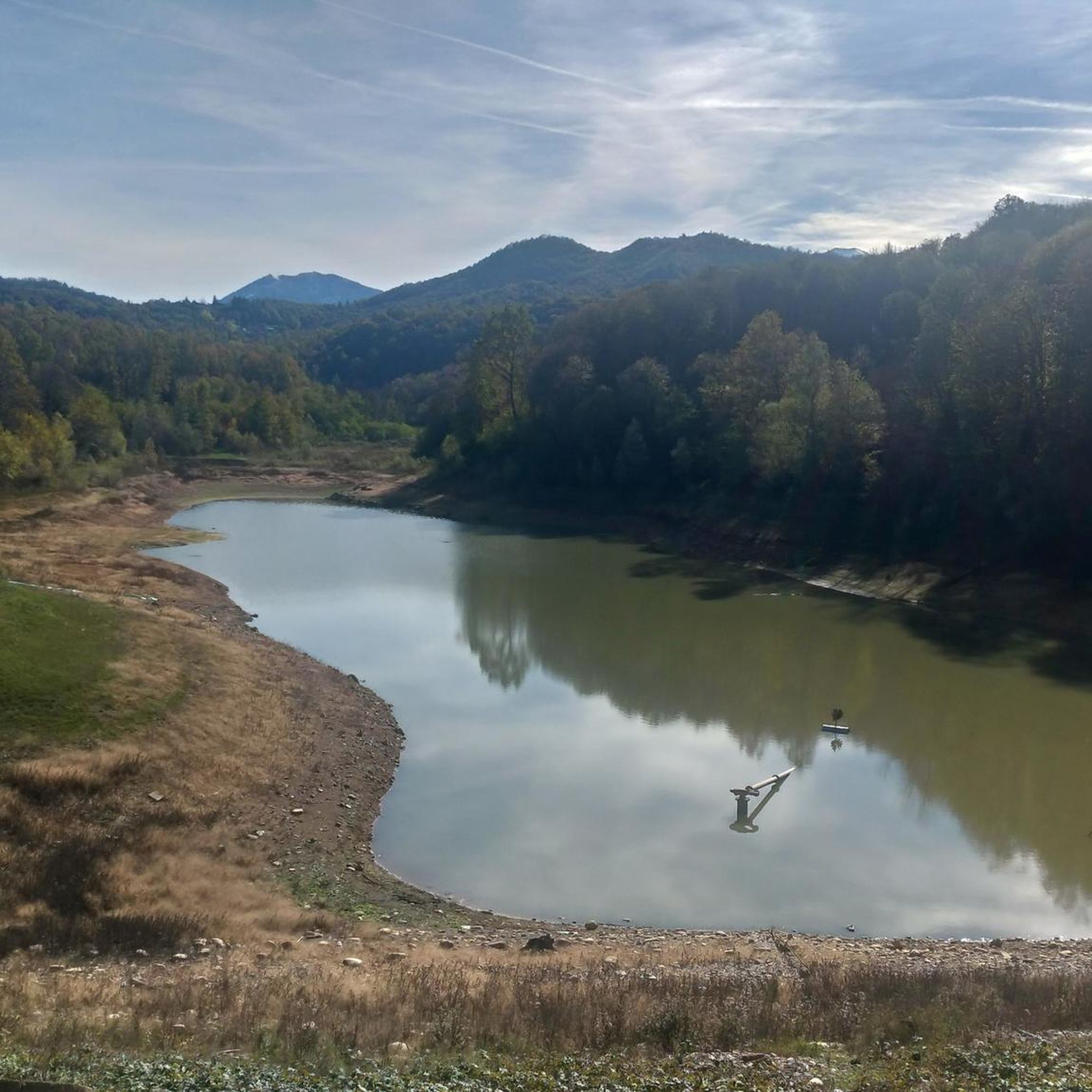
Cycling around Chiusa Di Pesio
Other adventures around Chiusa Di Pesio


Tips from the Community

Left home at 7 am, arrived at the Pian delle Gorre refuge at 8:30 am for breakfast and around 8:45 am departure for the tour… and to think that it was supposed to be just the Pis del Pesio loop… but then, arriving at the crossroads, I remembered Tissone's words who had been there just a week before and told me that the Pis doesn't wet, so what do I do, go see a waterfall without water?? No way!! And so off towards the Duca pass… then, arriving from the Duca… it was still early… alright, I got carried away… off towards the Garelli refuge… and back to the Pian delle Gorre refuge… a top day!!! I almost didn't deserve it!!! But that’s it!!! So, a big loop!! But damn me and damn these f…ing loop tours… ahahahah… a very positive first experience!!! I was home at 4:30 pm
0
0
... Duca e Garelli trail … show me the way Started from home at 7, arrived at Rifugio Pian delle Gorre at 8:30, breakfast and around 8:45 departure for the tour… and to think that it was supposed to be just the Pis del Pesio loop… but then, arriving at the crossroads, I remembered Tissone's words who had been there just a week before and told me that the Pis wasn't pissing anymore and so what do I do, go see a waterfall without water?? No way!! And so off towards Passo del Duca… then arriving from the Duca… it was still early… alright then I got carried away… off towards Rifugio Garelli… and back to Rifugio Pian delle Gorre… a top day!!! I almost didn't deserve it!!! But that’s it!!! So loop!! But damn me and damn these fucking loop trails… ahahahah … as a first experience very positive!!! At 16:30 I was home
0
0

Located at 1,928 meters above sea level in the heart of the homonymous Natural Park, this small alpine body of water lies in a picturesque grassy hollow right at the foot and start of the famous Torinesi and Genovesi canals. Next to the lake is the Rifugio Garelli with the adjacent botanical station "Danilo Re". Being a protected area with a very high biodiversity value, it is the ideal place to stop and observe up close the rich flora typical of the park and, with a bit of attention, spot the chamois and marmots that inhabit the area.
0
0

From here, a wide panorama opens up over the surrounding plain, while a fork leads to Passo del Duca: to the left along the path, to the right following the road. The path coming from Vallone del Marguareis and the mule track that climbs from Gias degli Arpi also converge at this point. From here, Passo del Duca can be easily reached in a few minutes.
0
0
An Alpine pass that can be reached quite easily, if you follow the wide mule track that climbs in hairpin bends and that starts from Gias degli Arpi
0
0
It is the other name to define the Porta Sestrera, which separates the Pesio valley from the Ellero valley
0
0
High point at 2225 metres above sea level that connects the Pesio valley with the Ellero valley, and in about 2 hours of walking the path that passes through here connects the Piero Garelli refuge with the Havis de Giorgio refuge
0
0
A hut that I believe is now uninhabited, with an accessible room useful as a shelter in case of heavy rain. There is also a fountain to drink from, although the water comes out very slowly.
0
0
Frequently Asked Questions
How many running routes are available in Chiusa di Pesio?
Chiusa di Pesio offers a wide selection of running routes, with nearly 30 different trails to explore. These routes cater to various fitness levels, ranging from moderate paths to more challenging mountain runs.
What kind of terrain can I expect on the jogging trails in Chiusa di Pesio?
The jogging trails in Chiusa di Pesio feature diverse terrain, from gentle paths through ancient chestnut trees to dense fir and beech forests. You'll also encounter mountainous sections within the Marguareis Park, offering varied landscapes and challenges.
Are there any easy or moderate running routes for beginners in Chiusa di Pesio?
Yes, Chiusa di Pesio has several moderate running routes suitable for beginners or those looking for a less strenuous run. For example, the Running loop from Chiusa di Pesio is a moderate 12.3 km trail, and the Running loop from Serro di Mezzo is a moderate 9.2 km option.
What natural features or landmarks can I see along the running routes?
Many running routes in Chiusa di Pesio offer stunning natural features. You might encounter the Pesio River, especially in springtime when the Pis del Pesio waterfalls are spectacular. The trails also wind through the Marguareis Park, known for its karstic systems and diverse vegetation. For specific natural highlights, consider exploring areas like Gola delle Fascette or Valle dei Maestri.
Are there any circular running routes in the area?
Yes, Chiusa di Pesio offers several excellent circular running routes. Popular options include the challenging Gias Sottano di Sestrera – Rifugio Don Barbera loop from Parcheggio Pian delle Gorre, or the moderate Running loop from Chiusa di Pesio for a shorter experience.
What do other runners say about the trails in Chiusa di Pesio?
The running routes in Chiusa di Pesio are highly regarded by the komoot community, with an average rating of 4.8 out of 5 stars. Over 500 runners have used komoot to explore the area, often praising the varied terrain, beautiful scenery, and the sense of immersion in nature.
Are there any running routes that offer views of high peaks or mountainous landscapes?
Absolutely. Many of the more challenging routes, particularly those within the Marguareis Park, provide expansive views of high peaks and mountainous landscapes. The Rifugio Piero Garelli – Porta Sestrera loop from Parcheggio Pian delle Gorre is a prime example, winding through high peaks and offering breathtaking vistas.
Can I find trails suitable for running near the Certosa di Pesio?
Yes, the historic Certosa di Pesio serves as a starting point for some excellent running routes. For instance, the challenging Rifugio Piero Garelli loop from Certosa di Pesio is an 18.5 km trail that begins near this national monument.
What is the best season for jogging in Chiusa di Pesio?
Chiusa di Pesio offers great running opportunities across multiple seasons. Spring brings melting snow and spectacular waterfalls, while summer provides lush green landscapes. Autumn is particularly beautiful with changing foliage. Always check local weather conditions, especially for higher altitude trails, as winter can bring snow and require specialized gear.
Are there options for parking near the trailheads in Chiusa di Pesio?
Yes, several popular running routes, especially those leading into the Marguareis Park, have designated parking areas. For example, routes like the Gias Sottano di Sestrera – Rifugio Don Barbera loop and the Rifugio Piero Garelli – Porta Sestrera loop both start from Parcheggio Pian delle Gorre, indicating convenient parking access.
Are there any trails that pass through forests or shaded areas?
Many of the running routes in Chiusa di Pesio traverse dense fir and beech forests, providing ample shade and a refreshing environment, especially during warmer months. The region's diverse vegetation, including ancient chestnut trees, ensures a scenic and often shaded experience.
What are the difficulty levels of the running routes in Chiusa di Pesio?
The running routes in Chiusa di Pesio range from moderate to difficult. There are 8 moderate routes, perfect for a steady run, and 19 difficult routes for experienced runners seeking significant elevation gain and challenging terrain.
Most popular routes around Chiusa Di Pesio
Most popular attractions around Chiusa Di Pesio

Get inspired with the komoot mobile app


Explore more
Browse the best Running Trails & Routes in other regions.
