The best walks and hikes around Altare
4.4
(1053)
4,207
hikers
212
hikes
Hiking around Altare offers diverse landscapes, situated in a mountainous region that forms part of the watershed between the Po Valley and the Ligurian Sea. The area features trails winding through forested areas and historical passes. Hikers can expect varied terrain, from moderate paths to more challenging mountain routes, providing panoramic views.
Best hiking trails around Altare
- The most popular hiking route is Alta Via dei Monti Liguri, Stage 16: Colla di San Giacomo - Colle di Cadibona, a…
Last updated: October 24, 2026
3.0
(2)
5
hikers
Hard hike. Very good fitness required. Mostly walkable paths. Sure-footedness required.
4.0
(3)
9
hikers
17.1km
05:12
550m
550m
Hard hike. Very good fitness required. Mostly walkable paths. Sure-footedness required.

3.0
(1)
6
hikers
10.2km
03:07
350m
350m
Moderate hike. Good fitness required. Easily walkable paths.
4.5
(4)
13
hikers
11.5km
03:25
340m
340m
Moderate hike. Good fitness required. Easily walkable paths.
5.0
(1)
8
hikers
13.6km
04:09
420m
420m
Moderate hike. Good fitness required. Mostly walkable paths. Sure-footedness required.
Get access to more routes and recommendations from other explorers.
Already have an account?
Our route recommendations are based on thousands of hikes, rides, and runs completed by other people on komoot.
Start today with a free account
Your next adventure awaits.
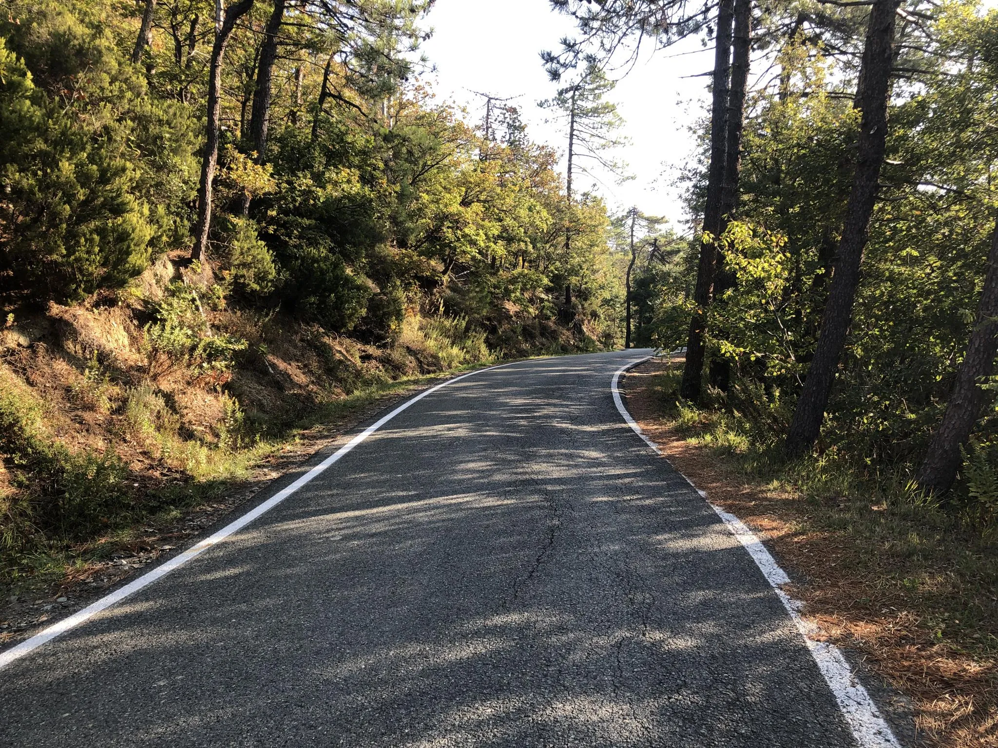
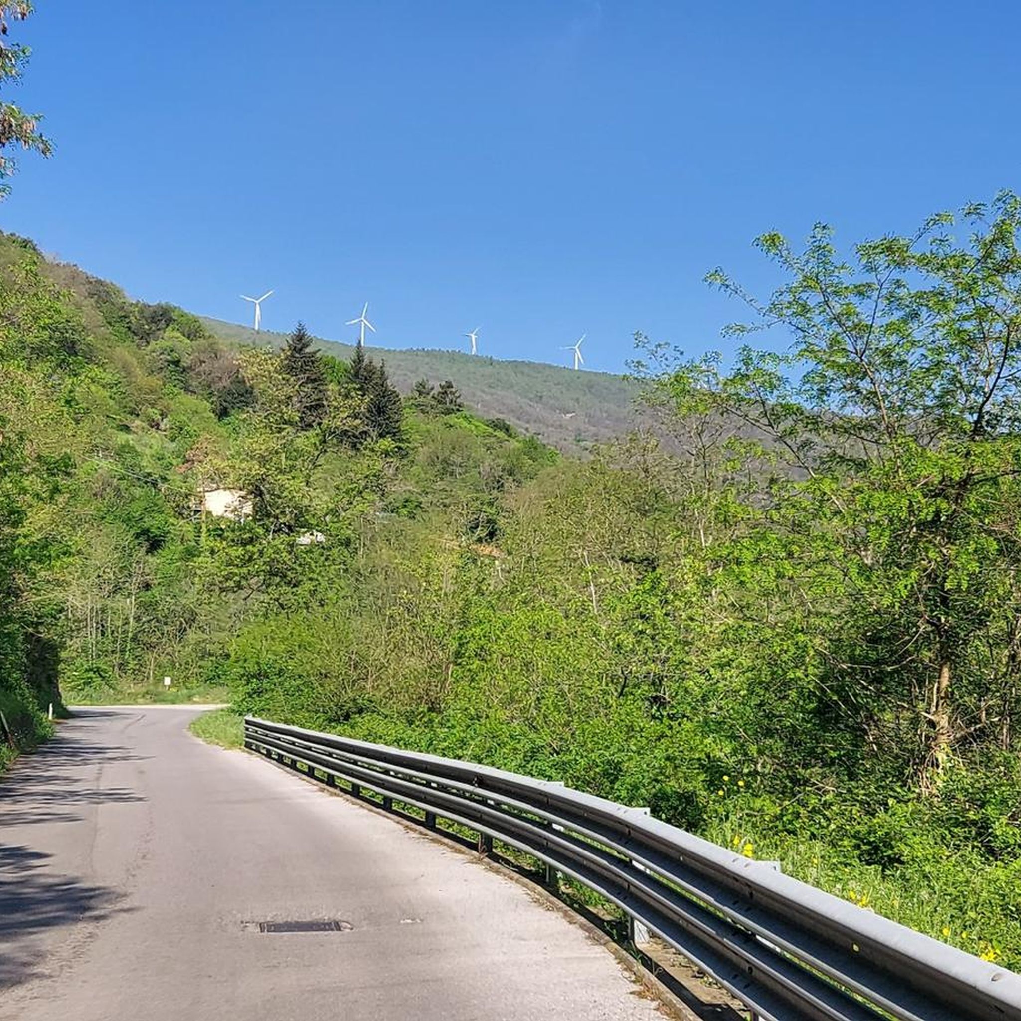
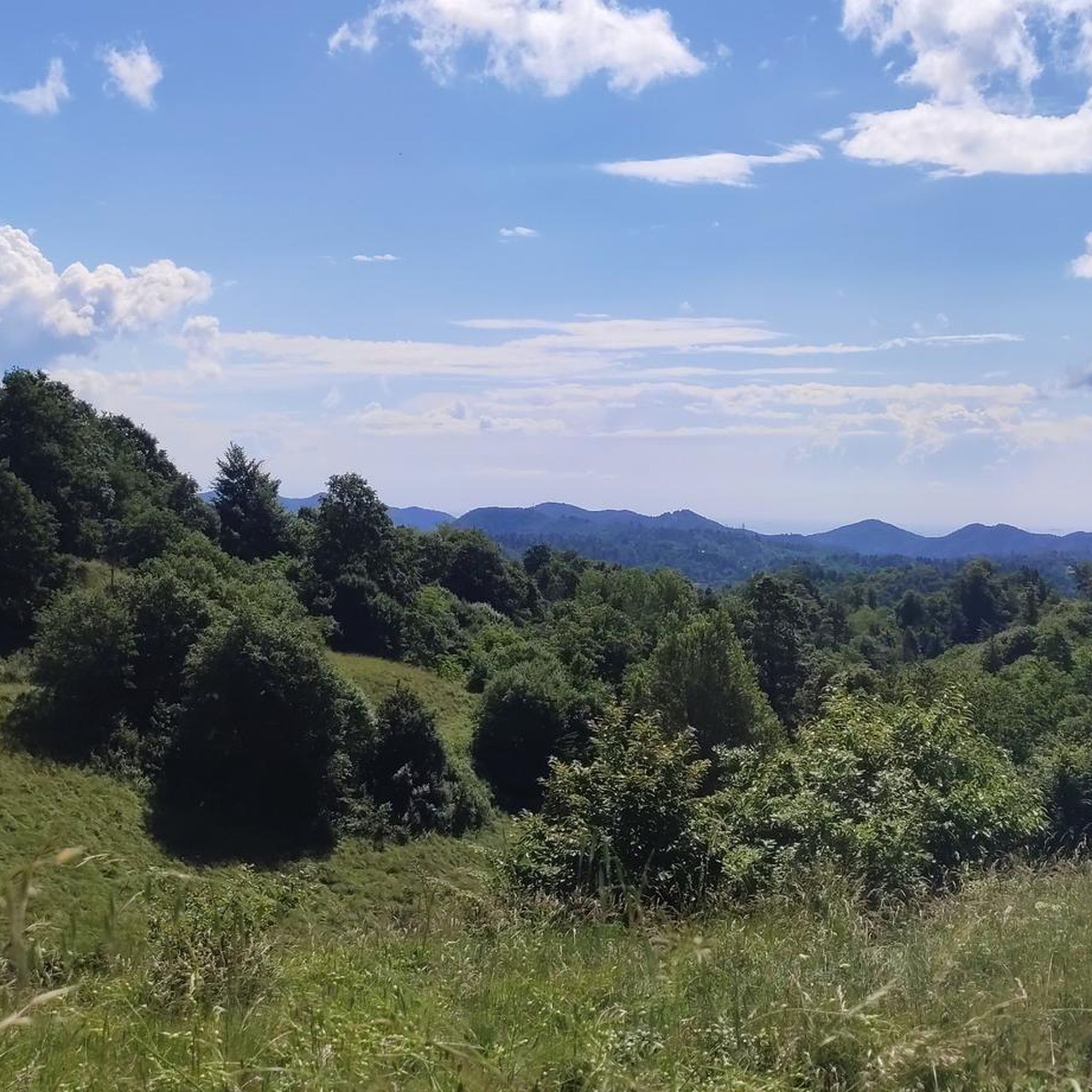

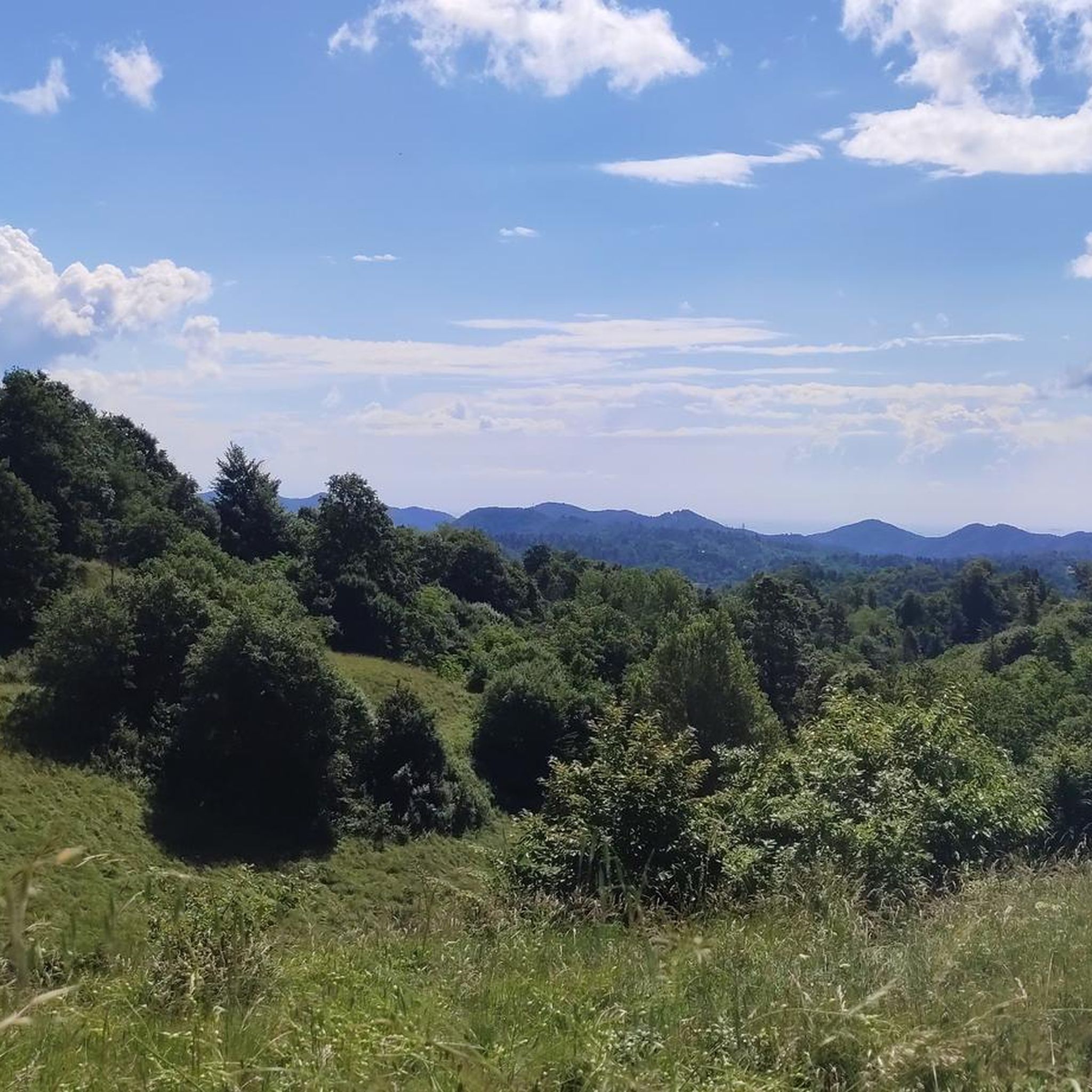

Other adventures around Altare

Tips from the Community

At Ad Altare, the Apennine bike tour begins
1
0
It is the seat of the glass art museum
1
0

The wind turbines found on Mount Burot add a touch of charm to an already enchanting landscape.
1
0

The road connects the cycle path that from Carcare leads to Vispa in Loc. Le Acqua. This road allows you to avoid the asphalt road. The descent to Le Acqua is a bit bumpy. Be careful!
0
0
Frequently Asked Questions
What types of hiking trails can I expect in Altare?
Altare offers a diverse range of hiking trails, from forested paths to more challenging mountain routes. The region is situated in a mountainous area that forms part of the watershed between the Po Valley and the Ligurian Sea, providing varied terrain and often panoramic views. You'll find paths winding through woodlands and historical passes.
What are the general difficulty levels of hikes in Altare?
The trails around Altare cater to various skill levels. There are over 40 easy routes, more than 110 moderate paths, and around 40 difficult trails for experienced hikers. This variety ensures options for everyone, from casual walkers to those seeking a challenge.
Are there any notable landmarks or natural features to see while hiking in Altare?
Yes, Altare's trails pass by several interesting points. You can explore the historic St. James Pass, which is an important historical crossing point and offers picnic areas. The Crestino Trail is known as a beautiful mountain path. For a unique experience, the former Ex NATO Base, now used by street artists, is also accessible.
Are there any circular hiking routes in Altare?
Yes, Altare features several circular routes. A popular moderate option is the Loc. Caramellina – Ferrania Abbey loop from Ferrania, which is about 5.3 miles (8.6 km) long. Another longer loop is the Church of St. Eugene – M.te Burot Wind Farm loop from Altare, covering about 10.5 miles (16.9 km).
What is the best time of year to go hiking in Altare?
While specific seasonal advice isn't provided, the region's mountainous terrain and forested areas suggest that spring and autumn would offer pleasant temperatures and beautiful scenery. Summer can be warm, especially at lower elevations, while winter might bring snow to higher mountain trails.
Are there family-friendly hiking options in Altare?
With over 40 easy routes and more than 110 moderate paths, Altare offers many options suitable for families. These trails often wind through forested areas, providing a pleasant environment for all ages. Look for shorter, less strenuous loops to enjoy with children.
Can I bring my dog on the hiking trails in Altare?
Generally, dogs are welcome on many outdoor trails in Italy, especially in natural areas. However, it's always advisable to keep your dog on a leash, especially in protected areas or where wildlife might be present, and to check specific trail regulations if available.
How long do hikes in Altare typically take?
Hiking durations vary significantly based on the route's length and difficulty. For example, the moderate Loc. Caramellina – Ferrania Abbey loop from Ferrania takes approximately 2 hours 16 minutes, while the more challenging Loc. Caramellina – Cascina Miera loop from Ferrania can take nearly 6 hours.
Is parking available at Altare trailheads?
While specific parking details for every trailhead are not listed, Altare is a town in a rural, mountainous region. It is common for trailheads in such areas to have designated parking spaces or roadside parking available. It's recommended to check local signage upon arrival.
What do other hikers enjoy most about hiking in Altare?
The area is highly rated by the komoot community, with an average score of 4.3 stars from over 850 reviews. Hikers often praise the varied terrain, from forested paths to mountain views, and the well-maintained network of trails that cater to different ability levels.
Are there any trails that offer significant elevation gain for a challenging workout?
Yes, for those seeking a challenge, Altare has routes with substantial elevation gain. The Alta Via dei Monti Liguri, Stage 16: Colla di San Giacomo - Colle di Cadibona, for instance, involves over 930 meters (3,050 feet) of ascent over its 16.4 miles (26.4 km) length.
Can I reach hiking trails in Altare using public transport?
Altare is a small town, and while local bus services might connect to nearby villages, direct public transport to specific trailheads can be limited. It's often more convenient to reach trail starting points by car. Checking local bus schedules for Altare and surrounding areas is advisable if relying on public transport.
Most popular attractions around Altare

Get inspired with the komoot mobile app


Explore more
Browse the best Hikes in other regions.
