The best walks and hikes around Roccaforte Mondovì
4.5
(706)
4,365
hikers
85
hikes
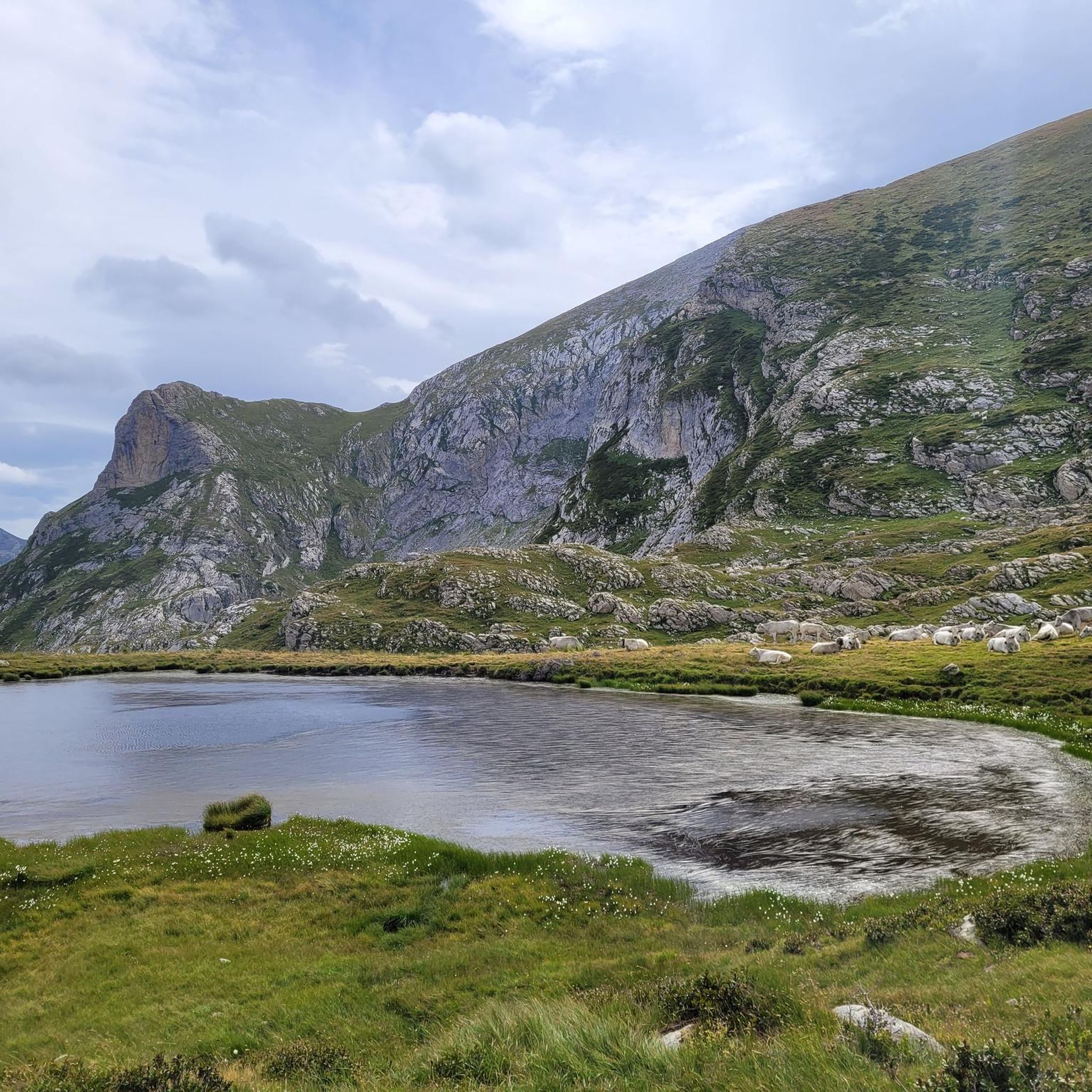
Hiking around Roccaforte Mondovì offers access to a diverse natural landscape, characterized by alpine environments and unique karstic formations. The region is situated at the westernmost border of the Occitan territory, encompassing the Marguareis Natural Park and the Ellero Valley. This area features limestone cliffs, varied geological formations, and extensive chestnut woods, providing a range of hiking terrain.
Best hiking trails around Roccaforte Mondovì
- The most popular hiking route is Rocche di Serpentera Loop, a 5.3 miles (8.6 km)…
Last updated: September 29, 2026
4.1
(40)
86
hikers
8.56km
03:31
580m
570m
Moderate hike. Good fitness required. Mostly accessible paths. Sure-footedness required.
4.8
(17)
115
hikers
17.9km
07:53
1,210m
1,210m
Hard hike. Very good fitness required. Sure-footedness, sturdy shoes and alpine experience required.

4.8
(18)
109
hikers
16.9km
07:24
1,140m
1,140m
Hard hike. Very good fitness required. Sure-footedness, sturdy shoes and alpine experience required.
4.6
(17)
153
hikers
15.9km
06:15
1,110m
1,110m
Hard hike. Very good fitness required. Mostly accessible paths. Sure-footedness required.
4.8
(10)
94
hikers
13.5km
05:35
690m
690m
Hard hike. Very good fitness required. Sure-footedness, sturdy shoes and alpine experience required.
Get access to more routes and recommendations from other explorers.
Already have an account?
Our route recommendations are based on thousands of hikes, rides, and runs completed by other people on komoot.
Start today with a free account
Your next adventure awaits.
Popular around Roccaforte Mondovì

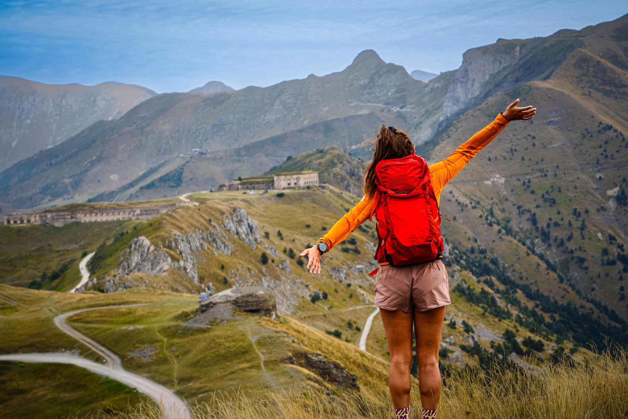
GTA South Piedmont — Hiking in Italy's Occitan valleys
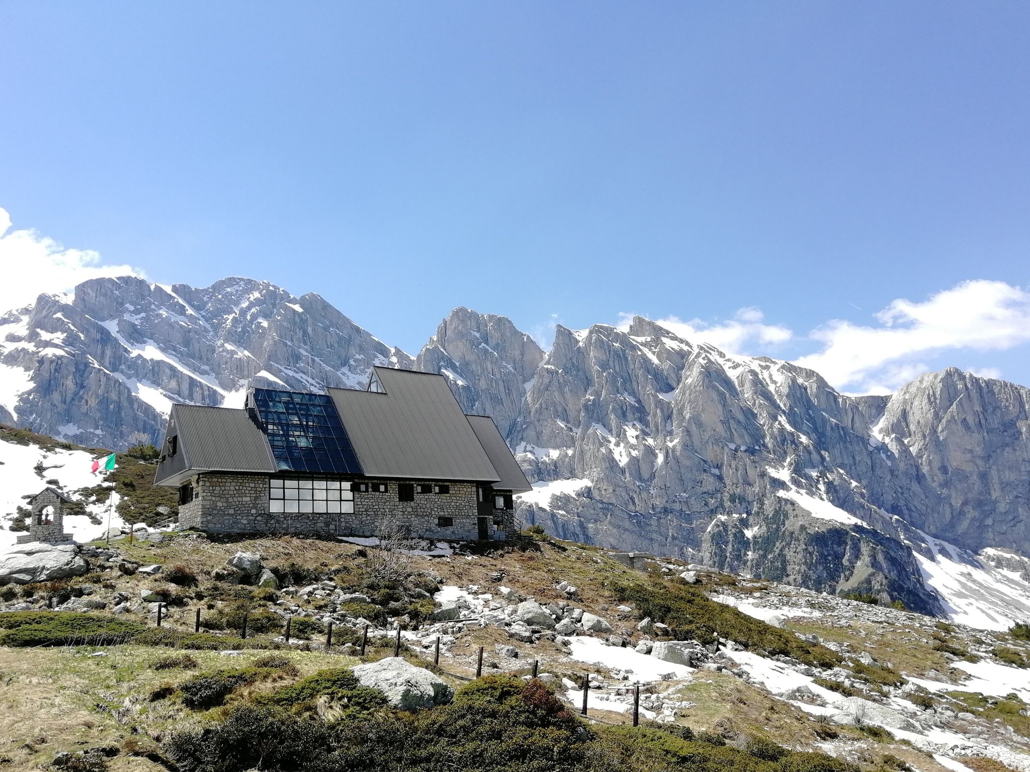
RivierALP – great hikes between the Alps and the Mediterranean
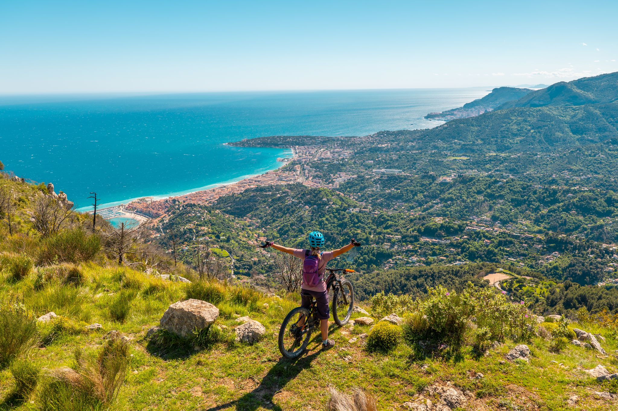
Marguareis Tour – discover caves, ravines and karstic rocks in Italy
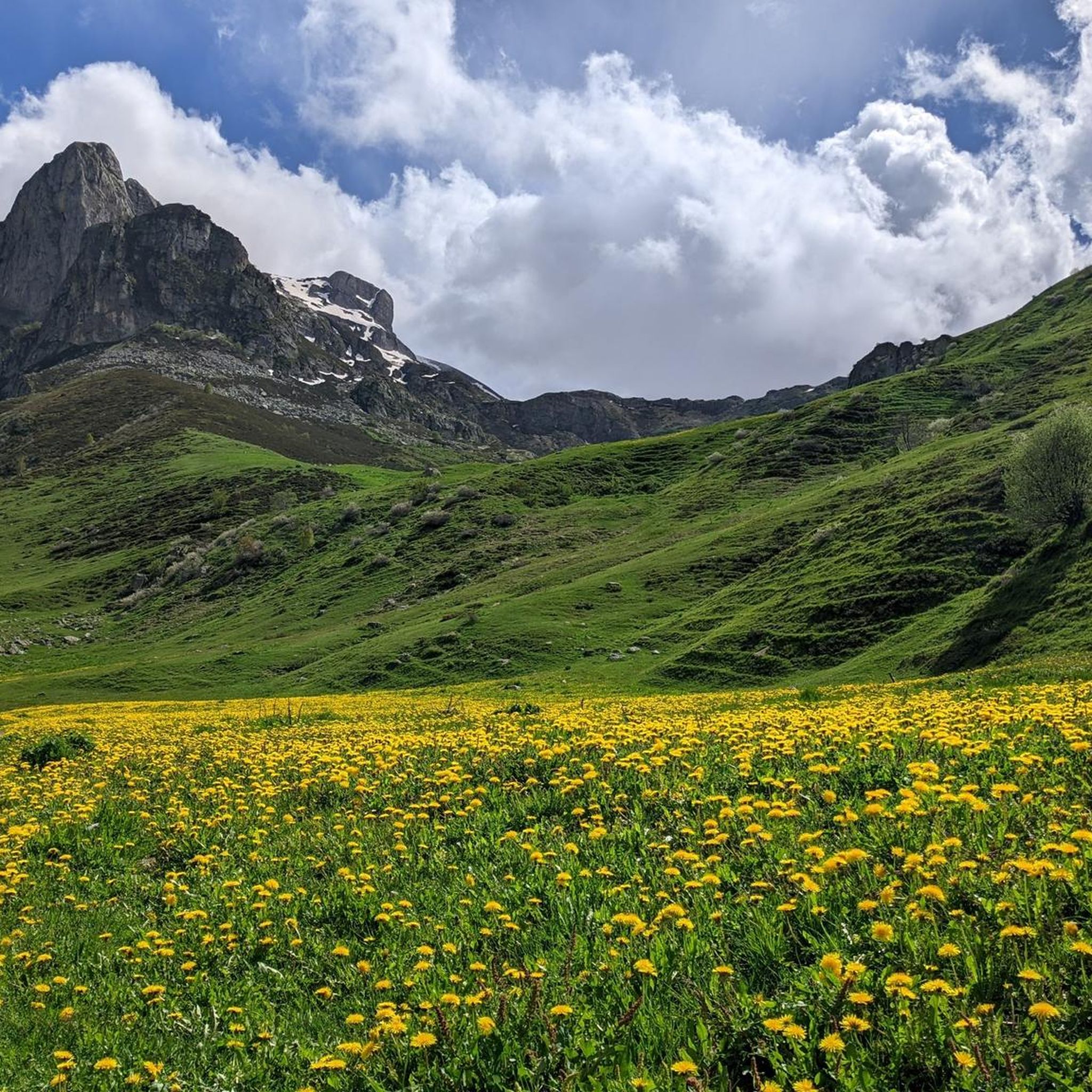
RivierALP – MTB routes from alpine passes to the Riviera
MTB Trails around Roccaforte Mondovì
Running Trails around Roccaforte Mondovì
Cycling around Roccaforte Mondovì
Road Cycling Routes around Roccaforte Mondovì
Gravel biking around Roccaforte Mondovì
Mountain Hikes around Roccaforte Mondovì
Other adventures around Roccaforte Mondovì


Tips from the Community

Without a doubt one of the iconic places of the Ligurian Alps. And it deserves it !!
0
0

Very panoramic on certain days you can see the sea!
0
0

Starting point for many fantastic hikes. There are plenty of parking spaces.
0
0
Panoramic viewpoint overlooking the Ellero Valley
0
0
Great view. You can see the Pis del Pesio waterfalls on clear days
0
0


Refuge now abandoned a little lower than the Elica hut
0
0
Frequently Asked Questions
How many hiking trails are available in Roccaforte Mondovì?
Roccaforte Mondovì offers a wide selection of hiking opportunities, with over 70 trails available. These range from easy walks to challenging mountain treks, catering to various skill levels.
What kind of terrain can I expect on hikes around Roccaforte Mondovì?
The terrain around Roccaforte Mondovì is highly diverse, characterized by alpine environments, unique karstic formations, and extensive chestnut woods, particularly in the Ellero Valley. You'll encounter limestone cliffs, varied geological features, and panoramic views from peaks like Monte Mondolé and Marguareis Peak.
Are there any family-friendly hiking options in Roccaforte Mondovì?
Yes, Roccaforte Mondovì has several easier trails suitable for families. For instance, the walk to the Saut Waterfalls in the Pian delle Gorre area is an easy and rewarding option. The region offers 9 easy routes, perfect for a leisurely family outing.
Can I bring my dog on the hiking trails in Roccaforte Mondovì?
Generally, dogs are welcome on many hiking trails in Roccaforte Mondovì, especially in the natural park areas. However, it's always advisable to keep them on a leash, particularly in protected areas like the Marguareis Natural Park, to protect wildlife and ensure a pleasant experience for all hikers. Check local signage for specific regulations.
Are there any circular hiking routes available in Roccaforte Mondovì?
Yes, many trails in Roccaforte Mondovì are designed as circular routes, allowing you to start and end at the same point. A notable example is the Cime delle Saline e Pian Ballaur – loop in Valle Ellero, which offers a challenging full-day experience. Another option is the Monte Pigna and Rifugio Margherita Loop.
What natural landmarks or viewpoints can I see while hiking?
The region is rich in natural landmarks. You can hike to picturesque alpine lakes like Lake Biecai and Lake Ratavuloira. Peaks such as Monte Mondolè, Marguareis Peak, and Saline Summit offer breathtaking panoramic views. The unique karstic landscapes of the Marguareis Natural Park also present fascinating geological formations.
Are there any waterfalls accessible via hiking trails?
Yes, the Saut Waterfalls in the Pian delle Gorre area are a popular and easily accessible natural highlight. You can also discover the Waterfall Gias Fontana and the Pis del Pesio Waterfalls.
What is the best time of year to go hiking in Roccaforte Mondovì?
The best time for hiking in Roccaforte Mondovì is generally from late spring to early autumn (May to October), when the weather is mild and trails are clear of snow. Summer offers lush greenery and full access to higher alpine routes, while autumn provides stunning foliage in the chestnut woods of the Ellero Valley. Some areas also offer snowshoeing in winter.
How can I reach the trailheads using public transport?
While specific public transport connections directly to all trailheads can be limited, Roccaforte Mondovì itself is accessible by bus services from larger towns like Mondovì. From Roccaforte Mondovì, local transport or a short taxi ride might be necessary to reach more remote starting points. It's best to check local bus schedules in advance.
Are there places to eat or stay near the hiking trails?
Yes, the region offers several mountain huts (rifugi) that serve as crucial points for hikers, providing resting spots, food, and sometimes accommodation. Examples include Rifugio Mondovì, Rifugio della Balma, and Rifugio Don Barbera. Roccaforte Mondovì and nearby villages also offer various accommodation options and restaurants.
What do other hikers enjoy the most about hiking in Roccaforte Mondovì?
The area is highly rated by the komoot community, with an average score of 4.5 stars from over 550 reviews. Hikers often praise the diverse landscapes, from the unique karstic formations of the Marguareis Natural Park to the serene chestnut woods, and the stunning panoramic views from the peaks. The extensive network of trails also receives positive feedback for catering to all ability levels.
Are there any long-distance hiking routes that pass through Roccaforte Mondovì?
Yes, Roccaforte Mondovì is part of several significant long-distance routes. The multi-stage Giro del Marguareis explores the Ligurian Alps and karstic landscapes. The historic Smugglers' Route (Via del Sale) connects Liguria to Mondovì, offering magnificent views. Additionally, sections of the Grande Traversata delle Alpi (GTA) and the Sentiero Balcone Monregalese pass through or near the area.
Most popular routes around Roccaforte Mondovì
Most popular attractions around Roccaforte Mondovì

Get inspired with the komoot mobile app


Explore more
Browse the best Hikes in other regions.
