The best mountain hikes around Riolunato
4.5
(8)
38
hikers
8
hikes
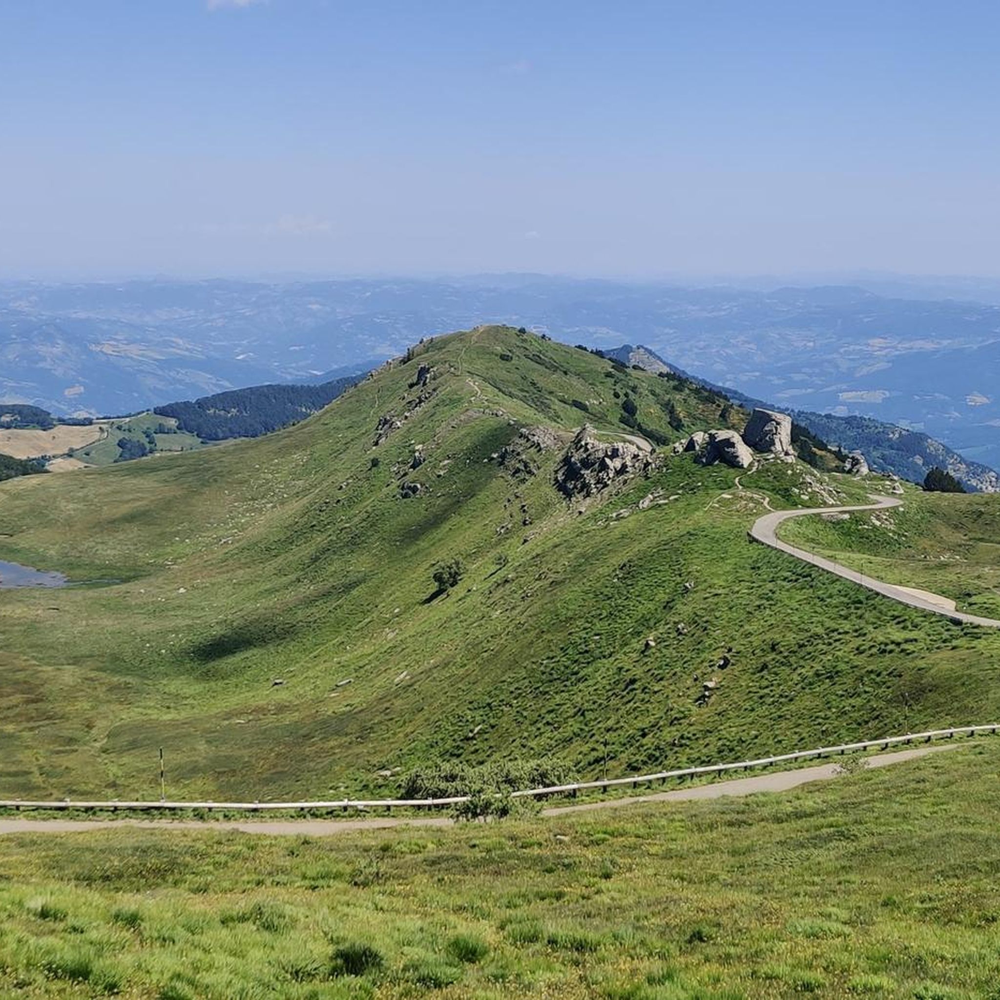
Mountaineering around Riolunato offers a diverse landscape within the Modena region, characterized by its mountainous terrain, high-altitude lakes, and varied elevation changes. The area features a mix of challenging ascents to prominent peaks and more moderate paths through alpine environments. These routes provide opportunities to explore the Apennine range, with trails winding through forests and open ridges.
Best mountaineering routes around Riolunato
- The most popular mountaineering route is Altaretto – Monte Giovo loop from Lago Santo modenese, a difficult 5.7 miles (9.2 km) trail that takes 4 hours 2 minutes to complete. This route features significant elevation gain and panoramic views from higher elevations.
- Another top favourite among local mountaineers is Lago della Risaia – Monte Rotondo loop from Abetone, a moderate 6.8 miles (10.9 km) path. This trail traverses varied terrain, including forested sections and open mountain slopes, offering diverse scenery.
- Local mountaineers also love the Il Passetto loop from Lago Santo modenese, a 4.3 miles (7.0 km) trail leading through mountain passes and near alpine lakes, often completed in about 3 hours 5 minutes.
- Mountaineering around Riolunato is defined by its high mountain passes, alpine lakes, and challenging ascents to peaks. The network offers options for different ability levels, from moderate climbs to more demanding routes for experienced mountaineers.
- The routes in Riolunato are highly rated by the komoot community with an average score of 4.7 stars from more than 5 reviews. More than 40 mountaineers have used komoot to explore Riolunato's varied terrain.
Last updated: May 24, 2026
4.3
(3)
15
hikers
Hard mountaineering route. Good fitness required. Sure-footedness, sturdy shoes and alpine experience required.
4.7
(3)
9
hikers
10.6km
04:13
530m
530m
Moderate mountaineering route. Good fitness required. Mostly accessible paths. Sure-footedness required.

Sign up for free
7
hikers
Hard mountaineering route. Good fitness required. Sure-footedness, sturdy shoes and alpine experience required.
5.0
(1)
3
hikers
11.7km
04:39
760m
760m
Moderate mountaineering route. Good fitness required. Mostly accessible paths. Sure-footedness required.
4.0
(1)
4
hikers
10.8km
04:21
550m
550m
Hard mountaineering route. Good fitness required. Sure-footedness, sturdy shoes and alpine experience required.
Get access to more routes and recommendations from other explorers.
Sign up for free
Already have an account?
Our route recommendations are based on thousands of hikes, rides, and runs completed by other people on komoot.
Start today with a free account
Your next adventure awaits.
Login or Signup

Tips from the Community

A refuge with renovated private rooms and excellent cuisine. It's an excellent starting point for various hikes in the area, and the management is very friendly. From the (paid) parking lot, it's about a 10-minute walk uphill to the refuge. The manager, Massimo, is a wonderful person; it's always a pleasure to return!
1
0

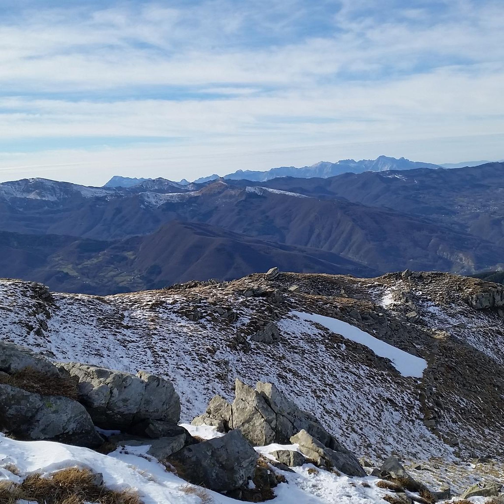
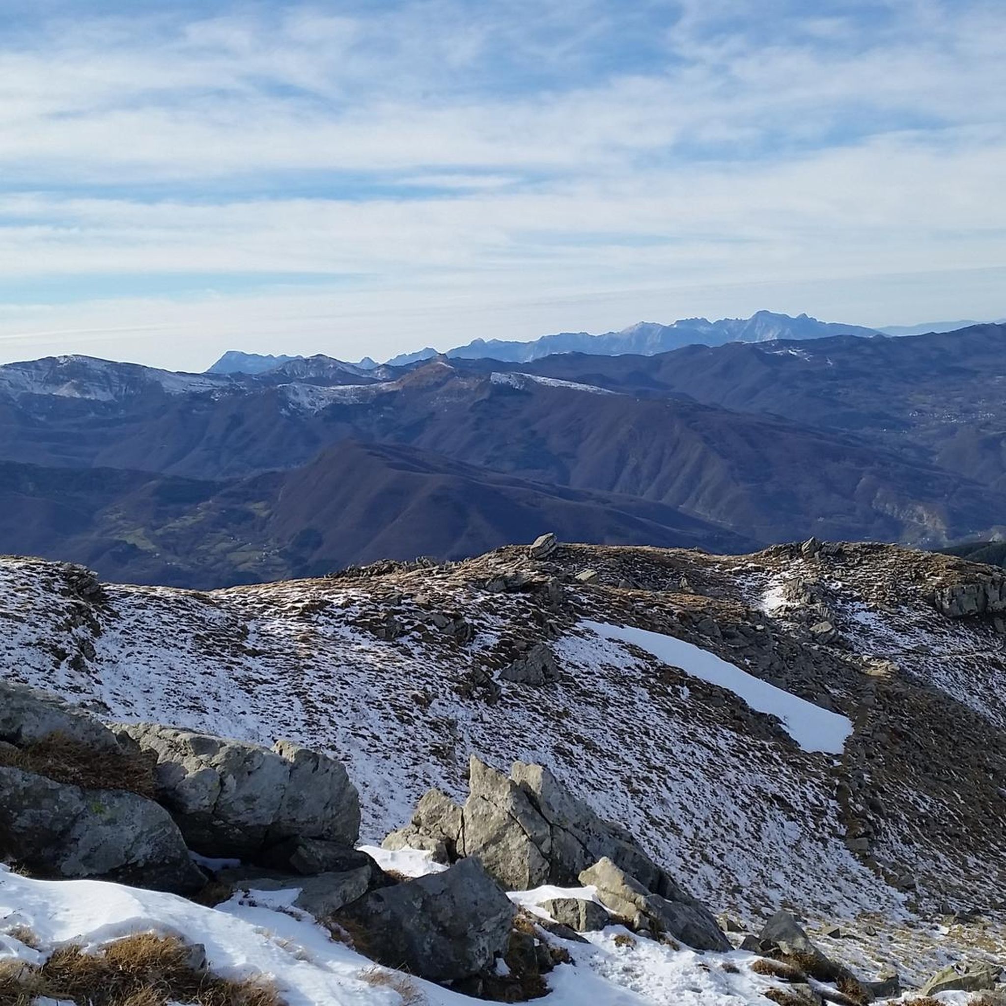
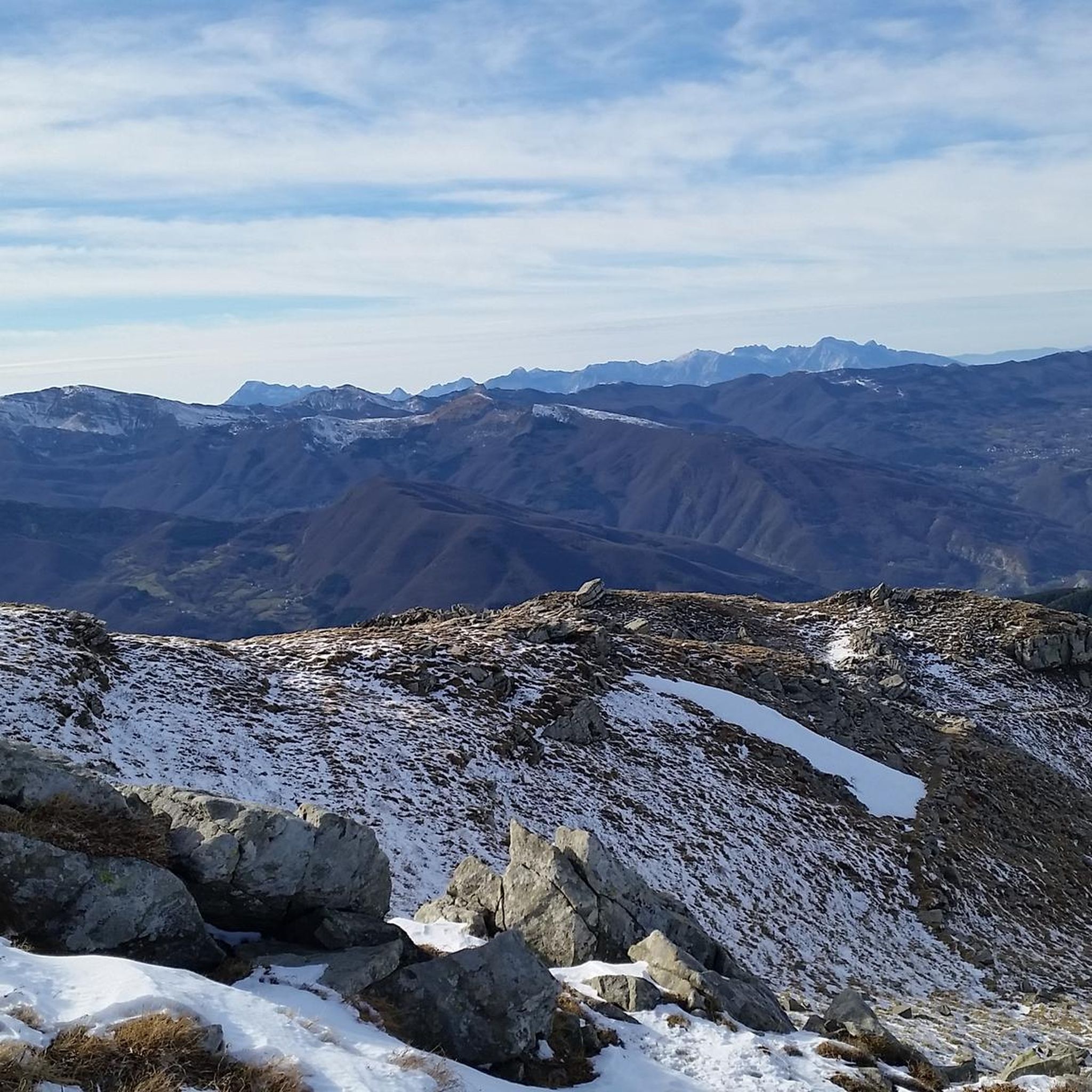
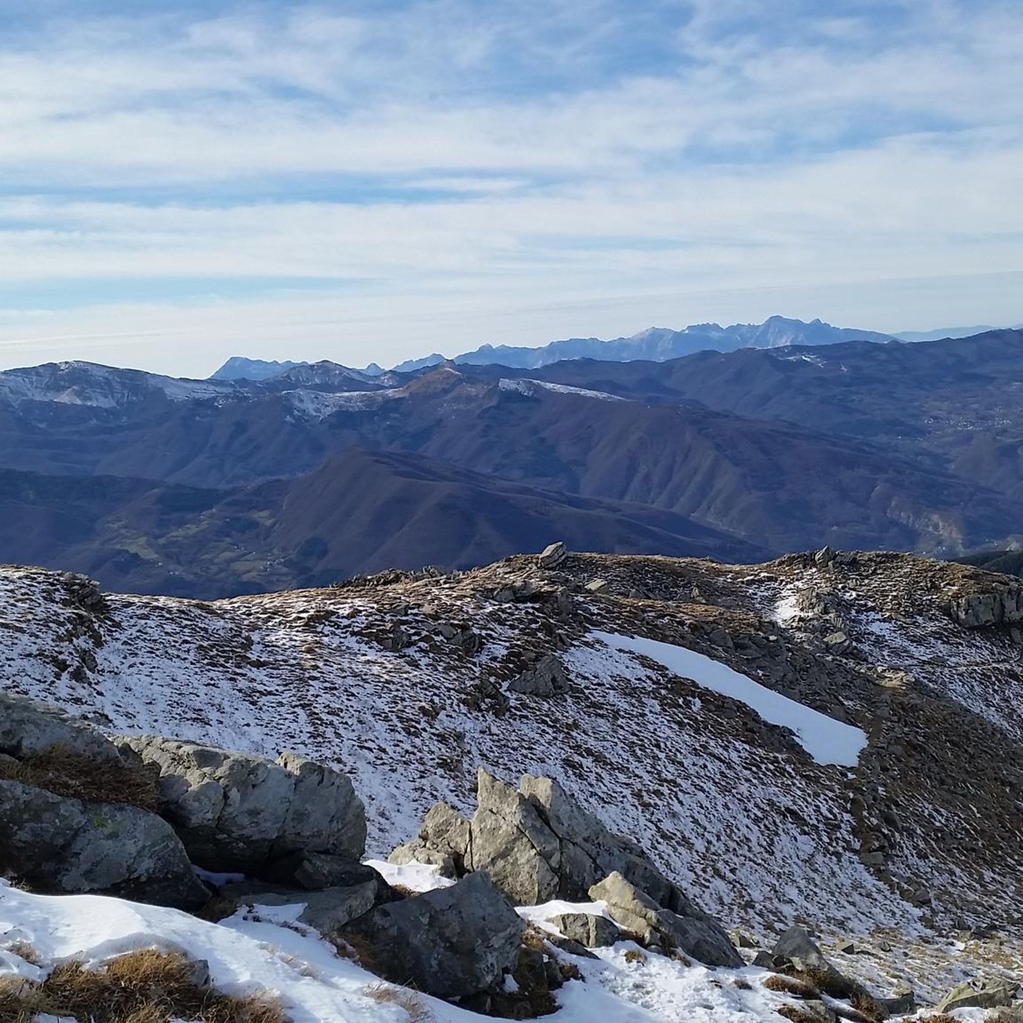
Monte Giovo, 1991 metres, is the highest peak in this part of the Apennines.
0
0
Passo Boccaia 1574 meters, crossroads of paths, arriving from Passo Eolo on the left you go down to Lago Santo, on the right you go down into the valley below Colle Bruciata continuing straight you start the climb (be careful very long and tiring) that leads to the summit of Monte Giovo at 1991 meters
0
0
Mount Cimone! the panettone! with its 2165 meters it is the highest peak of the northern Apennines. Iconic point of arrival and special panoramic point as it is unique in Italy for this characteristic (from its summit it is possible to observe, on the clearest days, the largest land surface of the Italian territory, from the Gran Sasso Apennines to the Alpine mountain range)
0
0

Really nice emotions during the ascent 🫶🏼😃
0
0
Done for the first time with a CAI assistant, harness and safety line on the way up...for experts it's nothing special but for those less used to it like me all the safety brought allowed me to do it, it's not trivial to have realized this little dream 💪🏼😃
1
0
Reaching this goal was a great satisfaction for me…it had been in my plans for a long time of peaks to reach so a little dream to realize…from up there breathtaking view obviously! 🙌🏼😃
0
0
I climbed this beautiful stretch my first time on Sunday 1 June '25 with confidence and in the end with a lot of satisfaction! At first sight coming from the path that comes from Mount Rondinaio it aroused a bit of moderate fear in me because the slope is very accentuated. Then once I started up the climb the fear immediately vanished! Beautiful view once I reached the stone that describes reaching the summit.
0
0
Frequently Asked Questions
What types of mountaineering routes can I find around Riolunato?
Riolunato offers a variety of mountaineering routes, ranging from moderate to difficult. You'll find paths that traverse varied terrain, including forested sections, open mountain slopes, and challenging ascents to prominent peaks within the Apennine range. The area is known for its high mountain passes and alpine lakes.
Are there any beginner-friendly mountaineering routes in the Riolunato area?
While there are no routes explicitly classified as 'easy' in our current selection, several 'moderate' routes are suitable for those with some hiking experience looking to step into mountaineering. For example, the Lago della Risaia – Monte Rotondo loop from Abetone offers diverse scenery without extreme technical demands, covering 6.8 miles (10.9 km).
What are some challenging mountaineering routes for experienced climbers near Riolunato?
For experienced mountaineers seeking a challenge, the Altaretto – Monte Giovo loop from Lago Santo modenese is a difficult 5.7-mile (9.2 km) trail with significant elevation gain and panoramic views. Another demanding option is the Altaretto – Il Passetto loop from Lago Santo modenese, which covers 7.0 miles (11.3 km) with substantial ascent.
Are there circular mountaineering routes available around Riolunato?
Yes, many of the mountaineering routes around Riolunato are circular, allowing you to start and end at the same point. Examples include the popular Il Passetto loop from Lago Santo modenese, a 4.3-mile (7.0 km) trail, and the Climb to Monte Cimone – Monte Cimone Summit loop from Doccia del Cimone, which is a longer 7.3-mile (11.7 km) option.
What is the best season for mountaineering in Riolunato?
The best season for mountaineering in Riolunato is typically from late spring to early autumn (May to October). During these months, the weather is generally more stable, and trails are free of snow at lower to mid-altitudes. Higher elevations, especially around Monte Cimone, can retain snow well into early summer. Always check local weather forecasts before heading out.
Are there any notable natural attractions or landmarks along the mountaineering routes?
The Riolunato area is rich in natural beauty. Many routes pass by stunning alpine lakes such as Lago Santo Modenese, Lake of the Nymph, and Lago Nero (Abetone). You might also encounter mountain passes like the Passage between Il Balzone and Monte Cimone, offering breathtaking views.
What should I bring for a mountaineering trip in Riolunato?
Given the varied terrain and potential for rapid weather changes in the Apennines, it's essential to be well-prepared. Always carry appropriate layers of clothing, waterproof gear, sturdy hiking boots, a map and compass (or GPS device), sufficient water and snacks, a first-aid kit, and sun protection. For more challenging routes, trekking poles can be beneficial.
Are there any specific permits required for mountaineering in the Riolunato region?
Generally, no specific permits are required for day mountaineering on established trails in the Riolunato area. However, if you plan to engage in activities like wild camping or access certain protected areas, it's always advisable to check with local authorities or park management for any specific regulations or restrictions that might apply.
Where can I find parking for mountaineering trails near Riolunato?
Parking is typically available at common starting points for many routes, such as near Lago Santo Modenese or in villages like Abetone. Specific parking information is often detailed on individual route pages on komoot. It's recommended to arrive early, especially during peak season, as spaces can fill up quickly.
What do other mountaineers say about the routes around Riolunato?
The mountaineering routes around Riolunato are highly regarded by the komoot community, boasting an average rating of 4.7 stars from over 5 reviews. Mountaineers frequently praise the diverse landscapes, the challenge of the ascents, and the stunning views from higher elevations, particularly around the alpine lakes and mountain passes.
Can I find places for refreshments or accommodation near the trails?
Yes, you'll find options for refreshments and accommodation in nearby towns and villages such as Riolunato itself, or Abetone. Some routes, especially those around Lago Santo Modenese, may also have mountain huts or refuges like the Pian Cavallaro Mountain Hut, where you can find food and sometimes overnight stays. Always check opening times in advance.
Most popular routes around Riolunato
Most popular attractions around Riolunato

Get inspired with the komoot mobile app


Explore more
Browse the best Mountain Hikes & Routes in other regions.
