The best walks and hikes around Renthendorf
4.6
(1645)
5,818
hikers
478
hikes
Hiking around Renthendorf offers diverse landscapes, situated in a valley on a colorful sandstone plateau between the Saale and Elster rivers. The region features varied terrain, from gentle paths along the Roda valley to elevated routes providing scenic views. Extensive forests and meadows characterize the area, with the Zeitzgrund highlighted as a prime trail. This environment provides a rich backdrop for nature exploration and outdoor activities.
Best hiking trails around Renthendorf
- The most popular hiking route is Trout Ponds on…
Last updated: June 26, 2026
4.5
(4)
12
hikers
13.5km
03:45
250m
250m
Moderate hike. Good fitness required. Easily-accessible paths. Suitable for all skill levels.
4.6
(7)
20
hikers
4.36km
01:09
40m
40m
Easy hike. Great for any fitness level. Easily-accessible paths. Suitable for all skill levels.

Sign up for free
5.0
(2)
14
hikers
Moderate hike. Good fitness required. Easily-accessible paths. Suitable for all skill levels.
5.0
(2)
11
hikers
Moderate hike. Good fitness required. Easily-accessible paths. Suitable for all skill levels.
4.0
(2)
10
hikers
10.9km
03:00
170m
170m
Moderate hike. Good fitness required. Easily-accessible paths. Suitable for all skill levels.
Get access to more routes and recommendations from other explorers.
Sign up for free
Already have an account?
Our route recommendations are based on thousands of hikes, rides, and runs completed by other people on komoot.
Start today with a free account
Your next adventure awaits.
Login or Signup
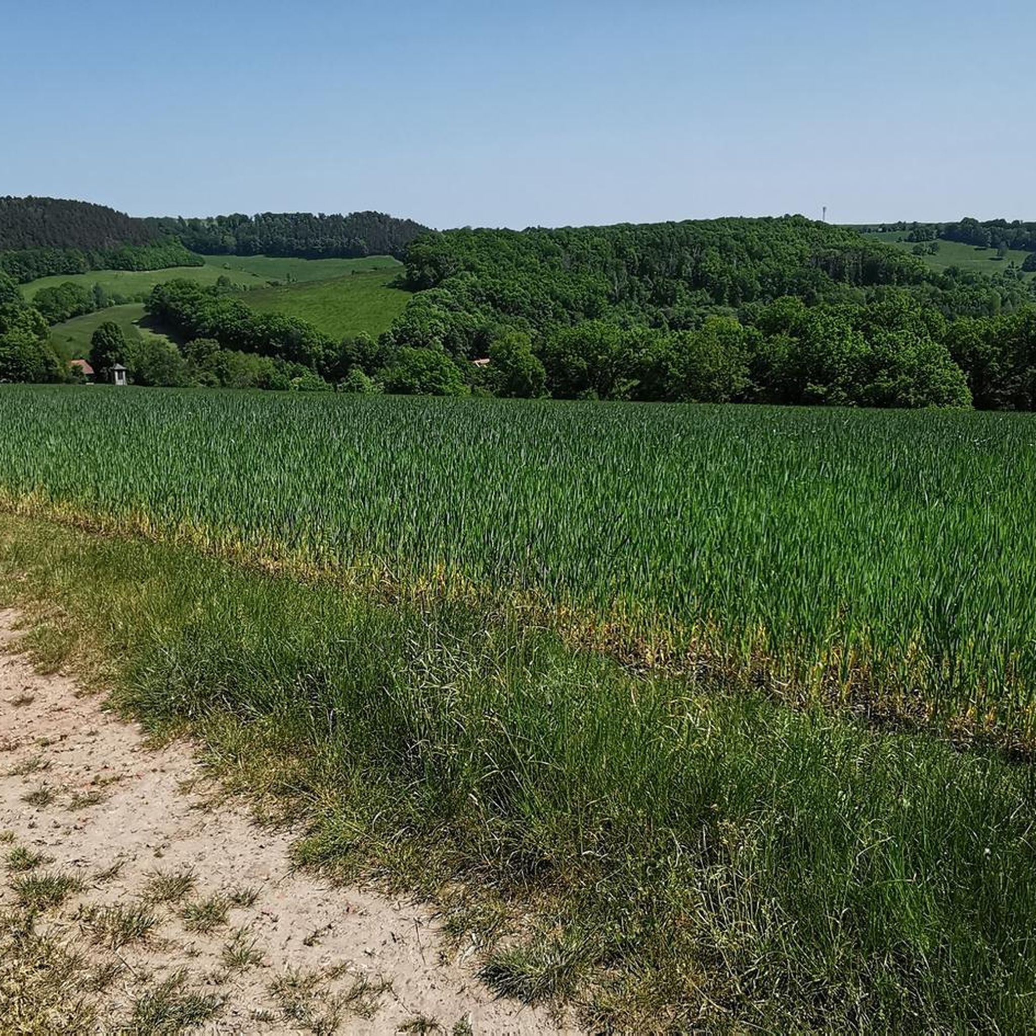
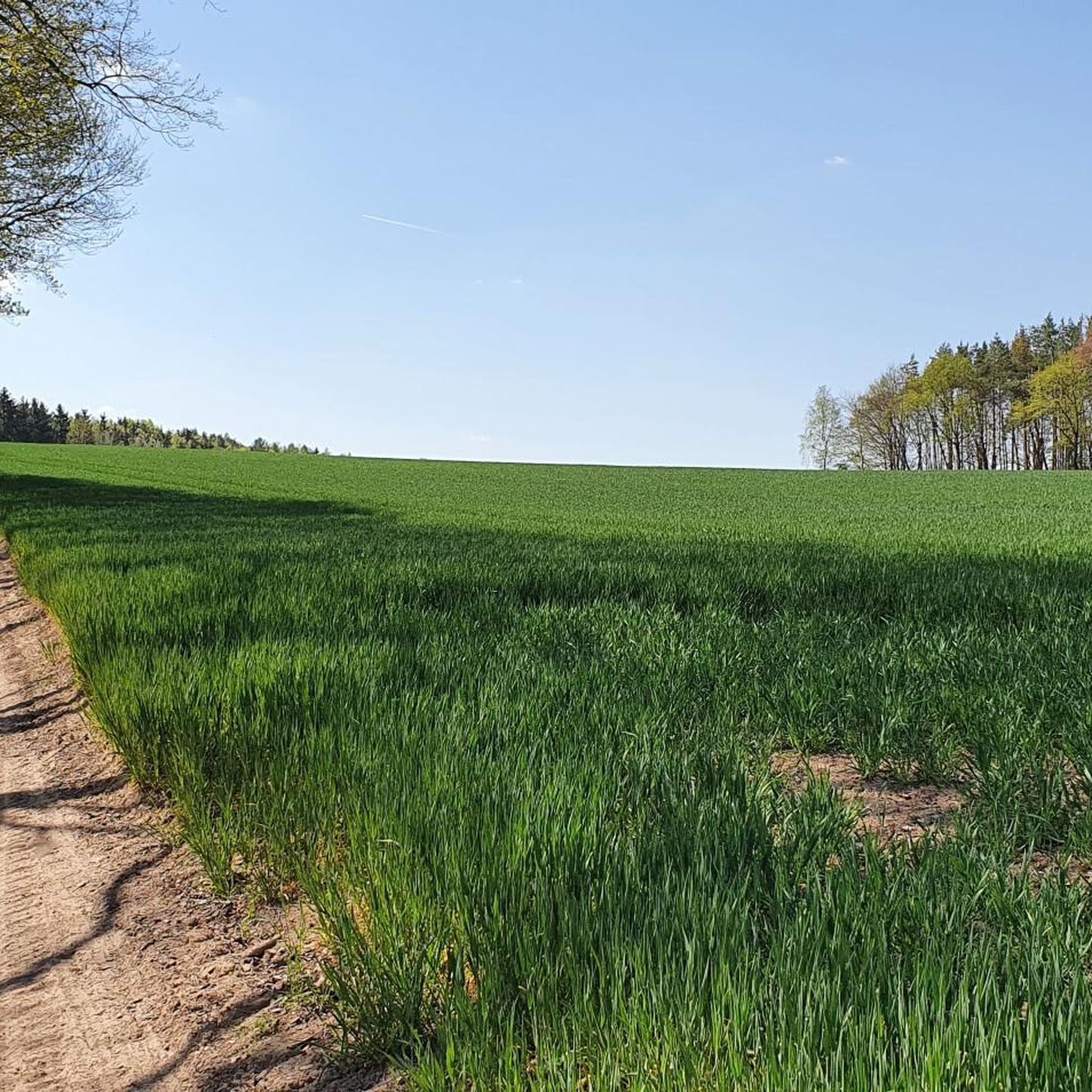
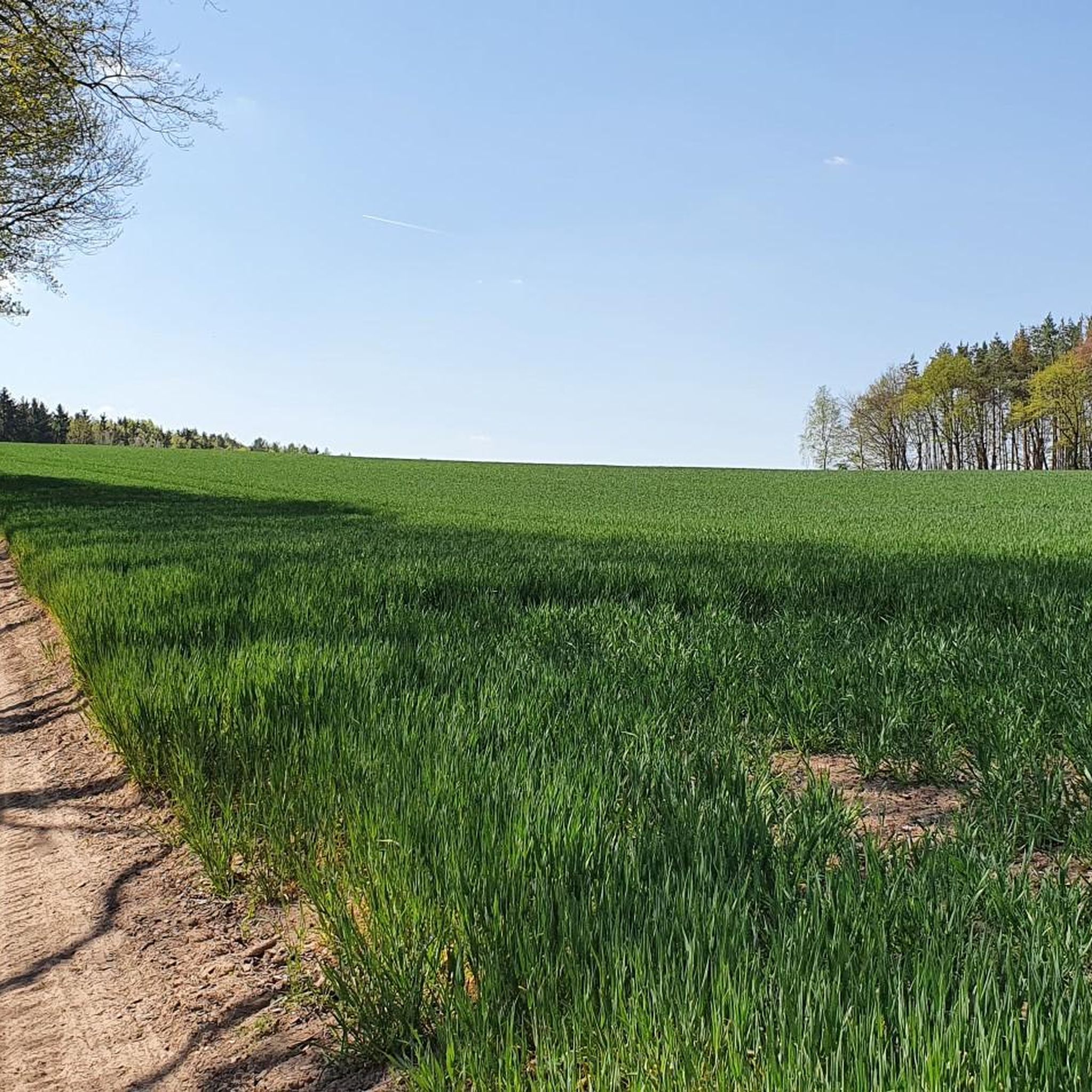
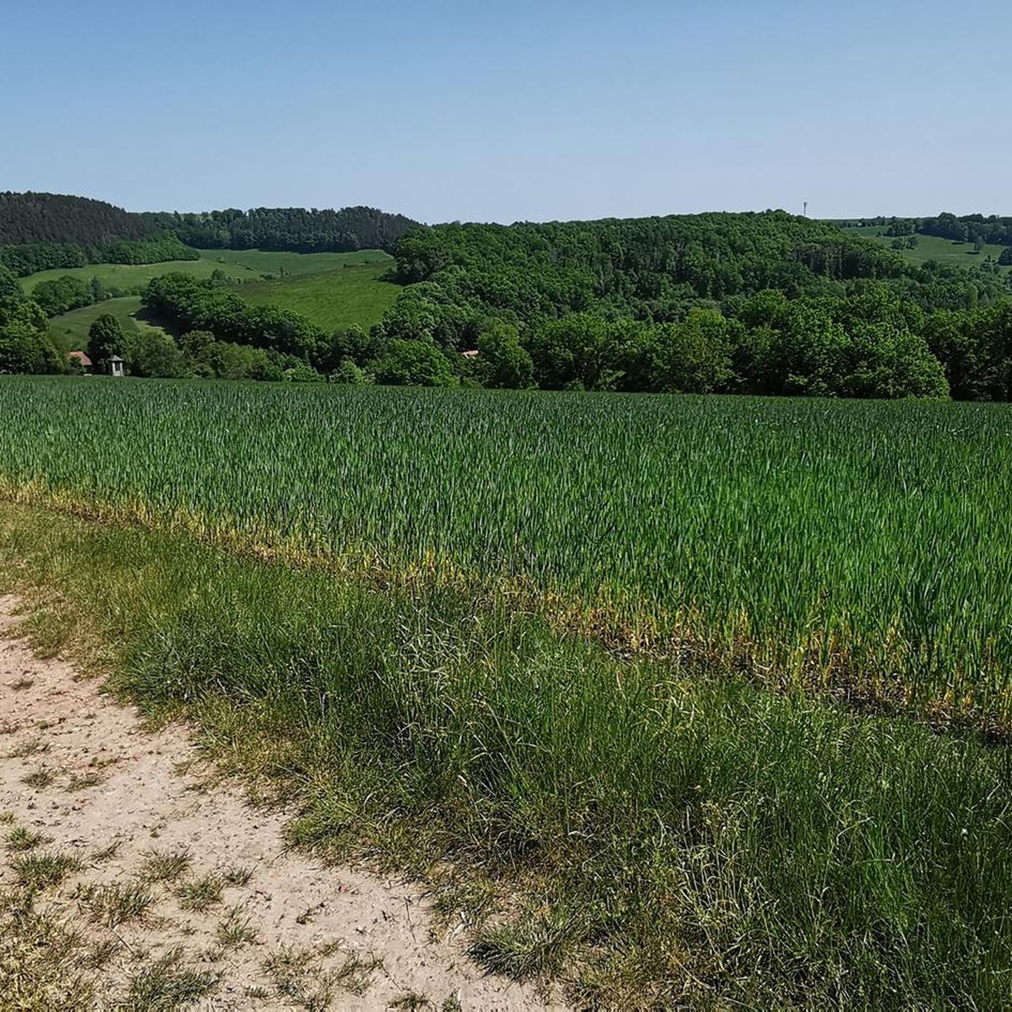

Tips from the Community


www.tälerpilgerweg.de/index.php/der-taelerpilgerweg
0
0

Very refreshing. But the KG pipe doesn't meet the DVGW drinking water standard. ;-)
2
1

a great place of knowledge!!!
0
0
a historic place to get to know, perhaps with an overnight stay in a school camp
0
0

The Koala climbing forest is the climbing experience in Thuringia with more than 14 courses at breathtaking heights.
5
0
Here you can also plan a little more time for observation. It's worth it 😉
15
0
Frequently Asked Questions
How many hiking trails are available around Renthendorf?
There are over 490 hiking routes in the Renthendorf area, offering a wide variety of options for all skill levels. You'll find everything from easy strolls along the Roda valley to more moderate routes across the sandstone plateau.
Are there easy or beginner-friendly hikes in Renthendorf?
Yes, Renthendorf offers many easy and beginner-friendly hikes. For instance, the Fallow Deer Enclosure – Mouflon Enclosure loop from Tautendorf is an easy 2.8-mile (4.5 km) trail through wooded areas, typically completed in just over an hour. The region has over 250 easy routes to choose from.
What kind of terrain can I expect on hikes in Renthendorf?
The terrain around Renthendorf is quite varied. You'll find gentle paths winding along the Roda valley, as well as more elevated routes on the colorful sandstone plateau, which offer scenic views. The region is characterized by extensive forests, meadows, and areas like the Zeitzgrund, providing diverse natural landscapes.
Are there any circular hiking routes in Renthendorf?
Yes, many of the trails in Renthendorf are circular, allowing you to start and end at the same point. A notable example is the Trout Ponds on the Ölsnitzbach – Winter Spring loop from Eineborn, an 8.4-mile (13.5 km) trail exploring natural water features. Another is the Brehm Museum and Church Ensemble – Rothvorwerk Homestead loop from Renthendorf, which passes historical sites.
What historical or natural landmarks can I see while hiking in Renthendorf?
Renthendorf is rich in both natural and historical points of interest. You can follow the easy Brehm Circular Hiking Trail, which features information boards about local flora, fauna, and the naturalists Christoph Ludwig Brehm and Alfred Edmund Brehm. Other attractions include the designated natural monument Hubertus-Quelle, the historical Ziegenmühle Watermill, and the impressive Historical Pitch Kiln. For more historical sites, consider exploring nearby castles like Castle of the Joyful Return or the Große Rabsburg Medieval Castle Ruins.
Are there any family-friendly hiking options in Renthendorf?
Absolutely. The region offers many trails suitable for families, often featuring gentle paths through forests and meadows. The presence of a 'Trollwiese Forest Playground' suggests areas designed for children, making it an ideal destination for family outings. Easy circular routes are also great for families.
Can I bring my dog on the hiking trails in Renthendorf?
Many trails in Renthendorf are dog-friendly, allowing you to enjoy the natural beauty with your canine companion. It's always a good idea to keep dogs on a leash, especially in areas with wildlife or near agricultural land, and to respect local regulations.
What is the best time of year to go hiking in Renthendorf?
Renthendorf offers beautiful hiking experiences throughout the year. The Zeitzgrund, for example, is highlighted as a prime trail promising interesting discoveries in all seasons. Spring and autumn offer pleasant temperatures and vibrant colors, while summer is great for longer days. Winter hiking can also be rewarding, with the landscape transformed by snow.
Are there places to eat or get refreshments along the hiking routes?
Yes, the Ziegenmühle Watermill and Brewery is situated within a picturesque hiking area and offers a place for refreshments, providing a convenient stop during your hike. Renthendorf and nearby villages also have cafes and restaurants where you can refuel.
What do other hikers enjoy most about hiking in Renthendorf?
The area is highly rated by the komoot community, with an average score of 4.6 stars from over 1,500 reviews. Reviewers often praise the diverse landscapes, from the peaceful Roda valley paths to the scenic views from the sandstone plateau, as well as the well-maintained trails and the rich natural and historical attractions.
Are there any challenging hikes in Renthendorf for experienced hikers?
While Renthendorf is known for its many easy and moderate routes, there are also some more challenging options for experienced hikers. The region features 15 difficult routes, often involving more significant elevation changes across the sandstone plateau, providing a good workout and rewarding views.
How can I access the hiking trails using public transport?
Renthendorf is a village nestled in a valley, and while specific public transport links to trailheads vary, the village itself can be reached. For detailed information on bus or train connections to Renthendorf and surrounding areas, it's best to check local public transport schedules, as options may be limited for direct trailhead access.
Where can I find parking for hiking in Renthendorf?
Parking is generally available in and around Renthendorf, particularly near popular trailheads or village centers. Many routes start from accessible points, and local information boards often indicate designated parking areas for hikers. It's advisable to check specific starting points for parking availability.
Most popular attractions around Renthendorf

Get inspired with the komoot mobile app


Explore more
Browse the best Hikes in other regions.
