The best walks and hikes around Garessio
4.5
(372)
1,912
hikers
67
hikes
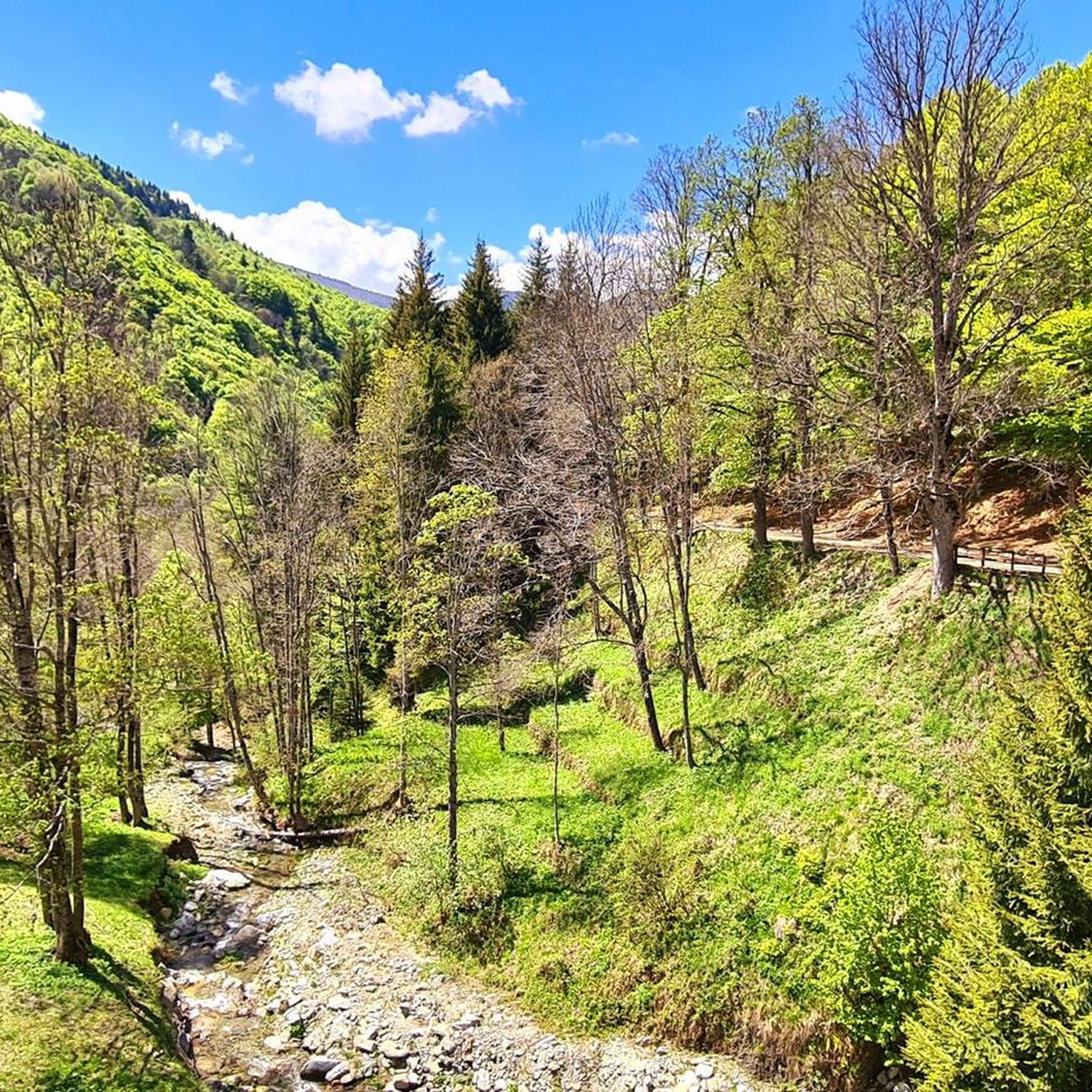
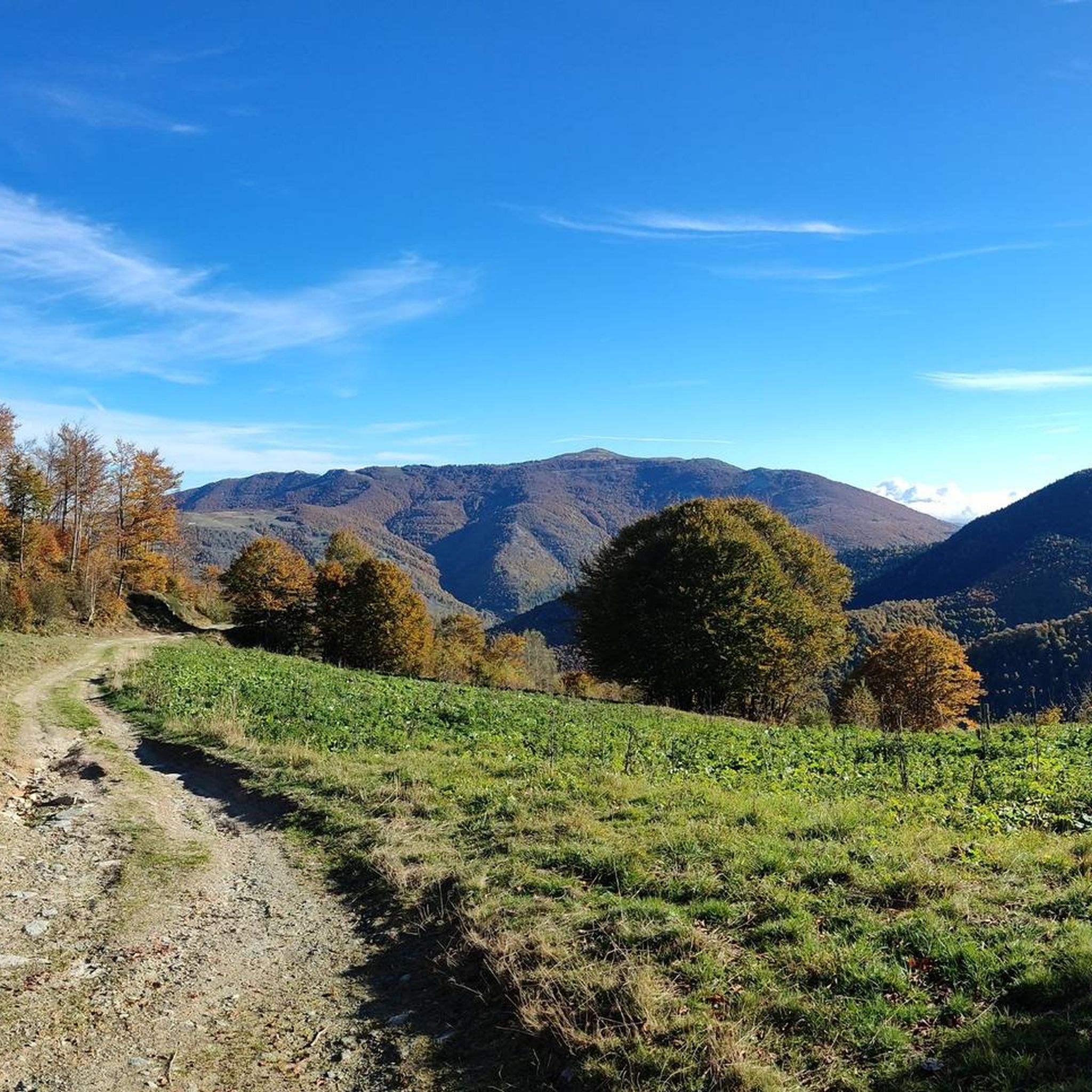
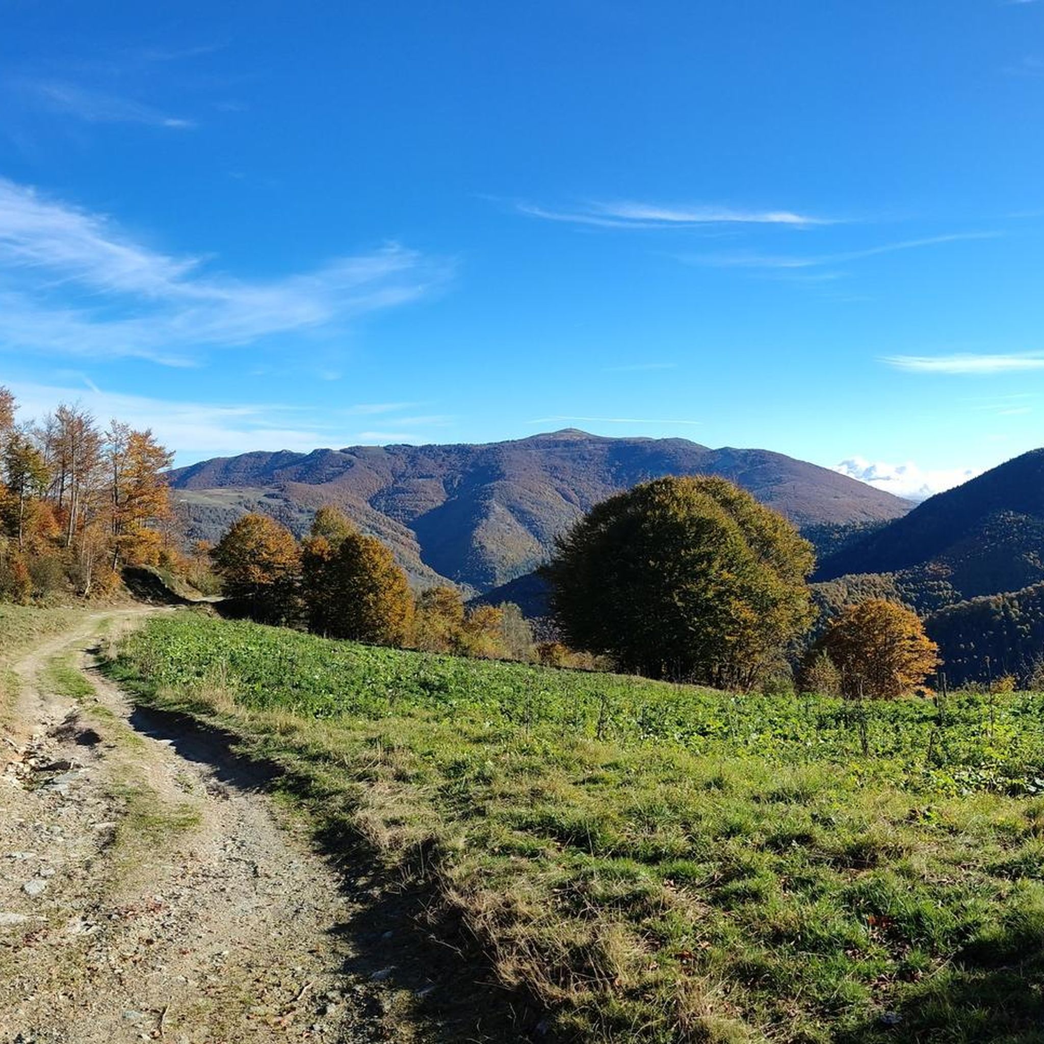
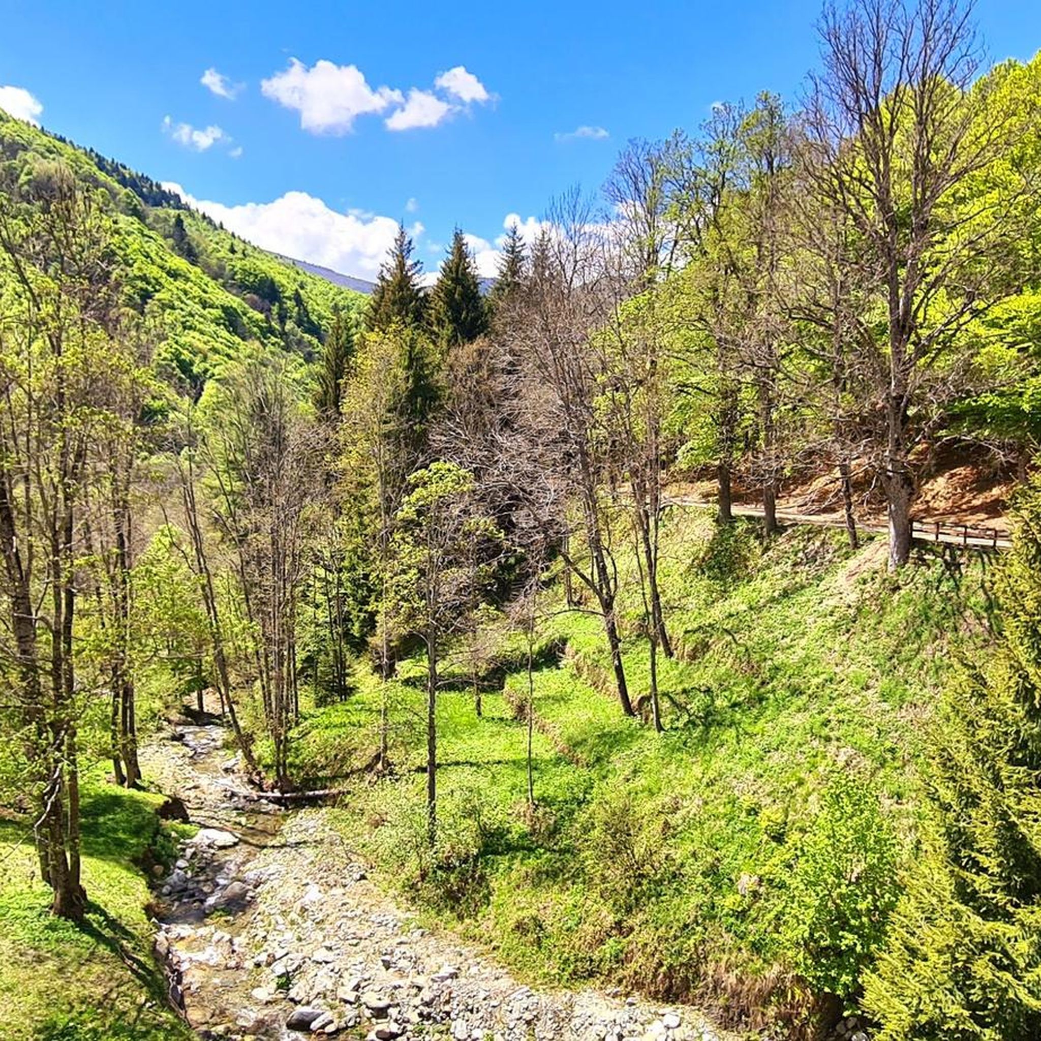
Hiking around Garessio offers access to diverse landscapes within the Tanaro Valley, situated at the foot of the Ligurian Alps. The region features peaks such as Monte Mindino and Monte Galero, alongside lush forests of chestnut and beech. The Tanaro River flows through the area, complementing the mountainous terrain with natural springs and unique rock formations.
Best hiking trails around Garessio
- The most popular hiking route is Bric Mindino - Prato Rotondo Loop Trail, a 7.4 miles (11.9 km)…
Last updated: May 26, 2026
4.7
(28)
105
hikers
11.9km
04:05
580m
580m
Embark on the Bric Mindino - Prato Rotondo Loop Trail, a moderate hiking route that takes you through a variety of landscapes. You will traverse dirt roads and stony paths,…
4.7
(22)
79
hikers
9.18km
03:38
550m
550m
Embark on the Bric Mindino and Colle di Prato Rotondo Loop, a moderate hiking route that takes you through diverse terrain, from wide dirt roads in forests to narrower paths…

Sign up for free
4.6
(26)
77
hikers
11.1km
04:07
560m
560m
Embark on the Monte Galero Summit Trail, a moderate hike that guides you through the diverse landscapes of the Ligurian Alps. You will traverse ancient beech and birch forests, passing…
5.0
(5)
24
hikers
13.4km
06:12
1,060m
1,060m
Embark on the Monte Antoroto e Monte Grosso loop tour for a challenging hike through Valle Tanaro, covering 8.3 miles (13.4 km) with a significant 3467 feet (1057 metres) of…
5.0
(1)
7
hikers
17.0km
07:24
1,090m
1,090m
Embark on the challenging Climb to Monte Antoroto — Ring tour, a difficult hike in the Ligurian Alps of Piedmont, Italy. This route spans 10.6 miles (17.0 km) and involves…
Get access to more routes and recommendations from other explorers.
Sign up for free
Already have an account?
Our route recommendations are based on thousands of hikes, rides, and runs completed by other people on komoot.
Start today with a free account
Your next adventure awaits.
Login or Signup

Tips from the Community

Magnificent place
0
0

Beautiful peak over 2000m from which you can enjoy an enviable panorama that ranges from Corsica to the Alpine peaks of 4000. In late winter/early spring its North East face offers the opportunity for a fun and non-trivial mountaineering climb on snow.
0
0


In July 2023 the refuge was closed for renovation.
0
0
Mount Antoroto is 2,144 m high and is located in the Ligurian Alps. When I went up I was completely in the clouds but on clear days I can imagine a spectacular 360° view as there are no higher mountains nearby to obstruct the view.
2
0
Summit reachable from Garessio 2000 with a comfortable walk, if the weather is fine the view is extraordinary
0
0
This pass is a crossroads for several paths, I passed through here passing from Monte Grosso to Monte Antoroto and back to reach the Savona refuge.
1
0
Frequently Asked Questions
How many hiking trails are available around Garessio?
Garessio offers a wide selection of hiking routes, with over 60 trails catering to various skill levels. This includes 6 easy routes, 37 moderate routes, and 21 difficult routes, ensuring options for everyone from beginners to experienced trekkers.
What is the best time of year to go hiking in Garessio?
The best time for hiking in Garessio is generally from spring through autumn, when the weather is mild and the alpine flora is vibrant. Summer offers warmer temperatures for higher altitude trails, while spring and autumn provide pleasant conditions for lower elevation walks through forests of chestnut and beech. Winter hiking is possible, especially on lower trails, but higher mountain routes may require snowshoes or specialized equipment.
Are there options for beginner hikers in Garessio?
Yes, Garessio has several easy hiking options suitable for beginners. These trails often wind through the lush forests and offer gentle ascents, allowing you to enjoy the natural beauty of the Tanaro Valley without significant challenge. Look for routes marked as 'easy' on komoot to find suitable paths.
What kind of terrain can I expect on hikes around Garessio?
Hikes around Garessio feature diverse terrain, ranging from lush forests of chestnut and beech to high-altitude pastures and rocky mountain paths in the Ligurian Alps. You'll encounter paths along the Tanaro River, as well as unique geological formations like the 'Brecce del Galero' or 'Stone Gendarmes' on higher routes.
What natural features can I see while hiking near Garessio?
While hiking near Garessio, you can explore the diverse landscapes of the Ligurian Alps, including peaks like Monte Mindino and Monte Galero. The region is rich in natural springs and features the Tanaro River. Keep an eye out for unique rock formations such as the 'Brecce del Galero' and the extensive forests of chestnut and beech.
Are there any historical or cultural sights accessible from the trails?
Yes, several trails offer access to historical and cultural sights. You can hike to the San Bernardo delle Forche Sanctuary, which provides panoramic views over Garessio and the Tanaro Valley. The historic center of Garessio itself, known as Borgo Maggiore, is recognized as one of Italy's 'most beautiful villages' and offers pleasant walks through its medieval architecture.
Are there any huts or refuges available along the hiking routes?
Yes, there are huts and refuges in the vicinity of Garessio that can serve as resting points or overnight stays on longer treks. Notable options include the Balma Hut, Mongioie Hut, and Pian delle Bosse Mountain Hut. These can be valuable resources, especially for more challenging or multi-day hikes.
Are there any challenging hikes for experienced trekkers?
Absolutely. Garessio offers 21 difficult routes for experienced trekkers. For a demanding ascent, consider the Monte Antoroto e Monte Grosso – loop tour in Valle Tanaro, which involves over 1000 meters of elevation gain. Another challenging option is the Climb to Monte Antoroto — Ring tour, offering a significant workout and rewarding views.
Can I find circular hiking routes in Garessio?
Yes, Garessio features several excellent circular hiking routes. A popular choice is the Bric Mindino - Prato Rotondo Loop Trail, which offers a moderate challenge and takes you through varied landscapes. Another highly-rated option is the Bric Mindino and Colle di Prato Rotondo Loop, perfect for experiencing the region's forests and pastures.
Are there hikes with good viewpoints in Garessio?
Many hikes in Garessio offer spectacular viewpoints. Trails around Monte Mindino provide panoramic vistas of the surrounding alpine landscape. The ascent to the San Bernardo delle Forche Sanctuary also rewards hikers with expansive views over Garessio and the Tanaro Valley. On clear days, some higher points in the Ligurian Alps can even offer distant glimpses of the Ligurian Sea.
Is Garessio a dog-friendly hiking destination?
Generally, Garessio is a dog-friendly area for hiking. Many trails pass through natural environments like forests and mountain paths where dogs are welcome, provided they are kept under control and owners adhere to local regulations, such as cleaning up after their pets. Always check specific trail rules or protected area guidelines if you plan to hike with your dog.
Are there family-friendly hiking options around Garessio?
Yes, Garessio offers several family-friendly hiking options. These typically include easier, shorter routes with less elevation gain, often through forests or along the Tanaro River. These paths are ideal for families with children, allowing everyone to enjoy the natural beauty of the region at a comfortable pace. Look for 'easy' rated trails on komoot for suitable choices.
What do other hikers enjoy most about the trails in Garessio?
The trails in Garessio are highly rated by the komoot community, with an average score of 4.5 stars from over 300 reviews. Hikers frequently praise the diverse mountainous terrain, the dense forests, and the scenic beauty of the Tanaro River valley. The extensive network of routes, offering options for various ability levels, is also a highlight for many visitors.
How long do hikes typically take in Garessio?
Hiking durations in Garessio vary significantly depending on the route's length and difficulty. Moderate trails like the Bric Mindino - Prato Rotondo Loop Trail typically take around 4 hours. More challenging routes, such as the Monte Antoroto e Monte Grosso loop, can take 6 hours or more due to their greater distance and elevation gain.
Most popular attractions around Garessio

Get inspired with the komoot mobile app


Explore more
Browse the best Hikes in other regions.
