The best road cycling routes around Renchen
4.4
(824)
12,394
riders
23
rides
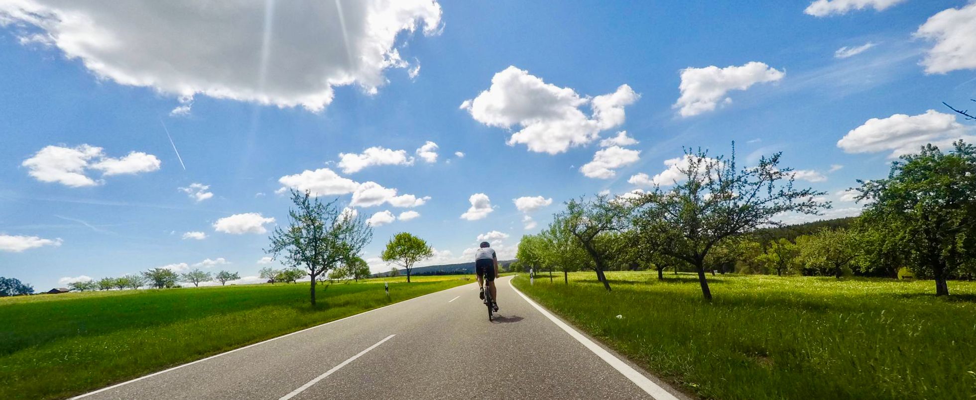
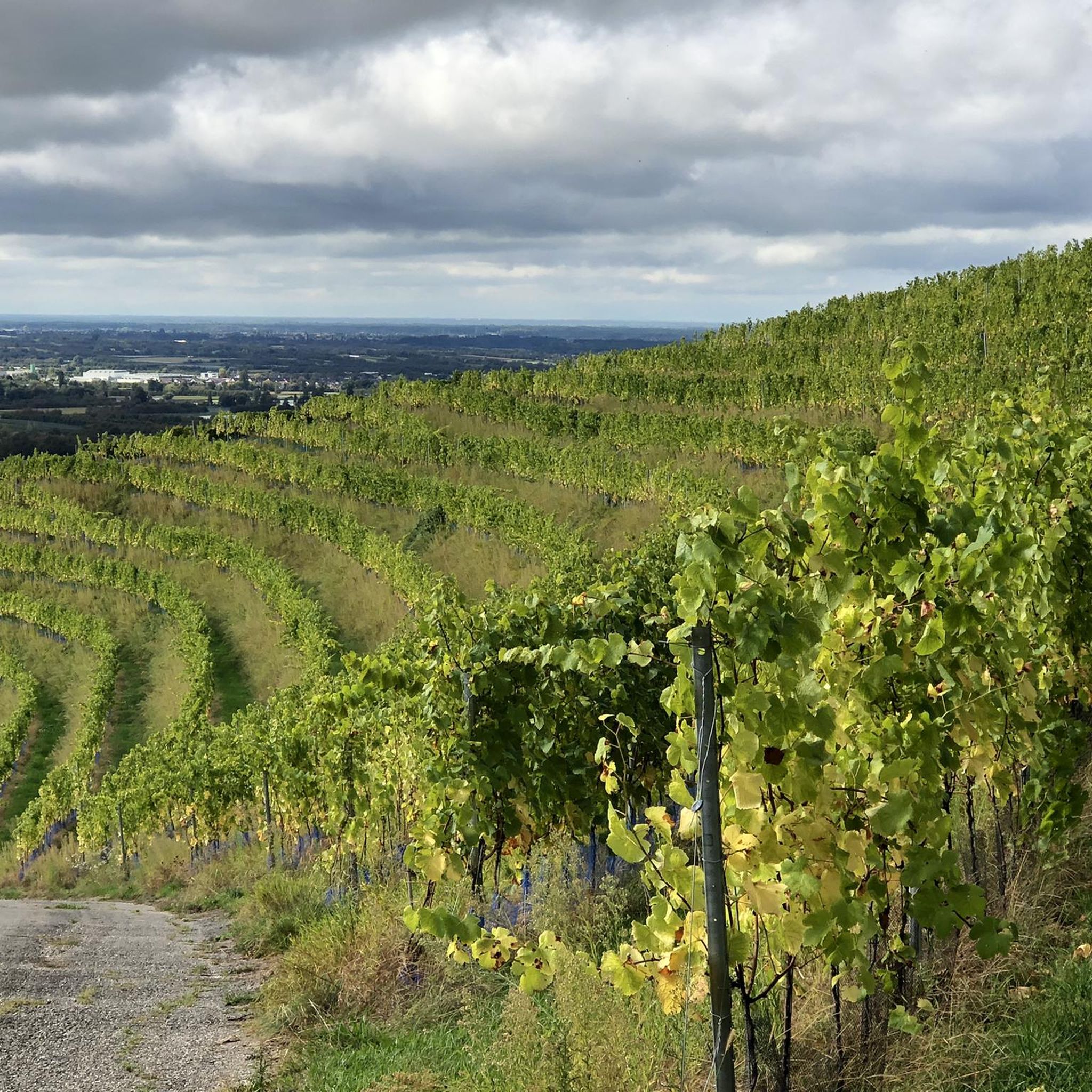
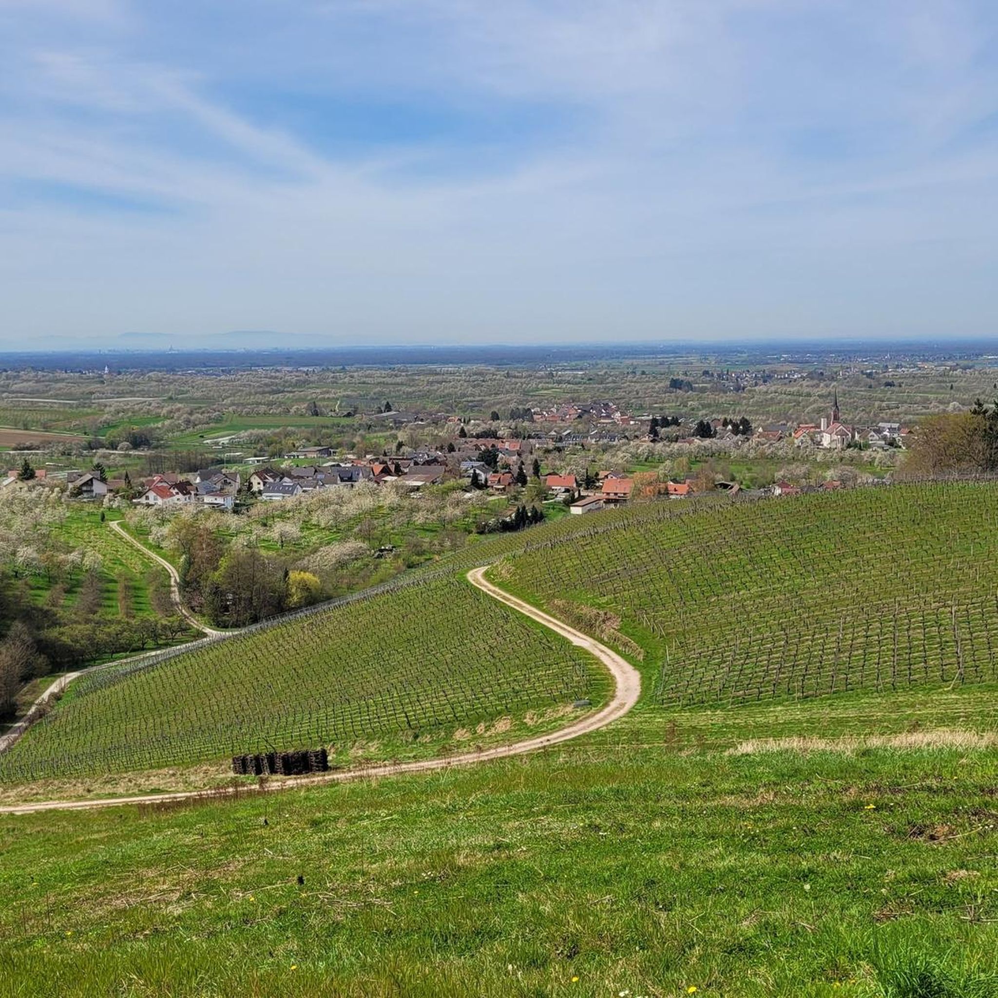
Road cycling routes around Renchen traverse a landscape characterized by the Rhine Plain, vineyards, and views towards the Black Forest foothills. The region offers varied terrain, from flat river paths along the Rench Flood Canal to more challenging ascents through vineyard areas and towards higher elevations with panoramic vistas. Road cyclists can expect a mix of open agricultural land, forested sections, and routes that provide glimpses of the Hornisgrinde mountain. The area's network of roads and dedicated cycle paths supports…
Last updated: May 14, 2026
5.0
(4)
47
riders
37.5km
02:00
640m
640m
Moderate road ride. Good fitness required. Mostly well-paved surfaces and easy to ride.
39
riders
74.0km
03:47
1,100m
1,100m
Hard road ride. Very good fitness required. Mostly well-paved surfaces and easy to ride.

Sign up for free
5.0
(3)
30
riders
49.6km
02:00
70m
70m
Easy road ride. Great for any fitness level. Mostly well-paved surfaces and easy to ride.
5.0
(1)
25
riders
55.6km
02:14
190m
190m
Moderate road ride. Good fitness required. Some segments of this route may be unpaved and difficult to ride.
4.0
(2)
17
riders
Easy road ride. Great for any fitness level. Mostly well-paved surfaces and easy to ride.
Get access to more routes and recommendations from other explorers.
Sign up for free
Already have an account?
Our route recommendations are based on thousands of hikes, rides, and runs completed by other people on komoot.
Start today with a free account
Your next adventure awaits.
Login or Signup


Other adventures around Renchen

Tips from the Community

It is located directly on the main road, where Wolfgang Schäuble's funeral took place.
1
0

There are two different memorial sites. Near the northern pedestrian and bicycle tunnel (a sandstone block in front of the bicycle parking garage), the death of 40 forced laborers on the station grounds is commemorated. They were disposed of on the spot in a mass grave. At the eastern staircase (between Goethe- and Carl-Blos-Straße) is the memorial site for the large-scale deportation of Jewish Baden residents.
0
0

I've been wanting to stop there for a long time, it looks very cozy, but we didn't have enough kilometers on the odometer yet 😉
0
0

Holy Cross Church in OG
1
0

Quiet connection without cars 👍🏻
0
0
Good cycle path for crossing.
0
0

Was unfortunately closed, a pity
1
0

Between the Rhine bridges is the border with France
0
0
Frequently Asked Questions
What kind of terrain can I expect on road cycling routes around Renchen?
Road cycling routes around Renchen offer a diverse landscape, from the flat Rhine Plain and paths along the Rench Flood Canal to more challenging ascents through vineyard areas. You'll also find routes with panoramic views towards the Black Forest foothills and the Hornisgrinde mountain, providing a mix of open agricultural land and forested sections.
How many road cycling routes are available in the Renchen area?
There are over 20 road cycling routes around Renchen documented on komoot, catering to various skill levels from easy to difficult.
Are there easy road cycling routes suitable for beginners or families in Renchen?
Yes, Renchen offers 9 easy road cycling routes. An example is the View of Hornisgrinde – Cycle path at Maiwald loop from Renchen, which is 30.5 miles (49.1 km) long and features minimal elevation gain, making it ideal for a relaxed ride.
What are some challenging road cycling routes for experienced riders near Renchen?
For experienced riders, there are 2 difficult routes. The Hornisgrinde Tower – View of the Rhine Plain loop from Renchen is a demanding 46.0 miles (74.0 km) path with significant climbing towards the Hornisgrinde Tower, offering expansive views over the Rhine Plain.
Are the road cycling routes around Renchen typically circular?
Yes, many of the road cycling routes around Renchen are designed as loops, allowing you to start and finish in the same location. For example, the popular Ringelbach Vineyards – Ringelbacher Kreuz Pass loop from Renchen is a circular route.
What kind of views can I expect on road cycling routes in Renchen?
Many routes offer scenic views, particularly of the surrounding vineyards, the Rhine Plain, and distant glimpses of the Black Forest hills, including the Hornisgrinde mountain. Routes like the Cycle path at Maiwald – View of Hornisgrinde loop from Renchen provide excellent vistas.
What do other road cyclists say about the routes in Renchen?
The road cycling routes in Renchen are highly rated by the komoot community, with an average score of 4.6 stars from over 20 reviews. Cyclists often praise the varied terrain, from flat river paths to vineyard climbs, and the scenic views of the Black Forest foothills.
Are there any routes that follow the Rench Flood Canal?
Yes, some routes incorporate sections along the Rench Flood Canal. The Rench Flood Canal in Erlach – Pappelwaldsee Berghaupten loop from Renchen is a moderate 34.5 miles (55.6 km) route that follows the canal and explores the surrounding area.
What are some nearby natural attractions I can explore while road cycling in Renchen?
While cycling, you might be near several natural attractions. The region is known for its waterfalls, such as the Gaishöll Waterfalls or the Edelfrauengrab Waterfalls. There are also beautiful lakes like Mummelsee in the wider area.
What is the typical length of road cycling routes around Renchen?
The road cycling routes around Renchen vary in length. You can find shorter routes around 23 miles (37 km), such as the Ringelbach Vineyards – Ringelbacher Kreuz Pass loop from Renchen, up to longer, more challenging rides exceeding 45 miles (70 km).
When is the best time of year for road cycling in Renchen?
The spring, summer, and early autumn months generally offer the most favorable conditions for road cycling in Renchen, with pleasant temperatures and vibrant landscapes. During these seasons, the vineyards are lush, and the views are often clearest.
Most popular routes around Renchen
Most popular attractions around Renchen

Get inspired with the komoot mobile app


Explore more
Browse the best Road cycling routes in other regions.
