The best walks and hikes around Remseck am Neckar
4.5
(15897)
80,426
hikers
96
hikes
Hiking around Remseck am Neckar is characterized by its unique geographical location at the confluence of the Rems and Neckar rivers, offering diverse landscapes for outdoor activities. The region features river floodplains, vineyards, and orchard meadows, particularly along the Neckar Valley. Hikers can explore sections of the Unteres Remstal Nature Reserve, which preserves natural river courses and meadows. The varied terrain includes both gentle riverside paths and routes through forests.
Best hiking trails around Remseck am Neckar
- The most popular…
Last updated: July 6, 2026
4.5
(12)
47
hikers
13.2km
03:33
190m
120m
Moderate hike. Good fitness required. Easily-accessible paths. Suitable for all skill levels.
4.7
(146)
554
hikers
10.8km
02:52
100m
100m
Moderate hike. Good fitness required. Easily-accessible paths. Suitable for all skill levels.

Sign up for free
4.5
(37)
198
hikers
Easy hike. Great for any fitness level. Easily-accessible paths. Suitable for all skill levels.
4.5
(25)
92
hikers
Hard hike. Very good fitness required. Easily-accessible paths. Suitable for all skill levels.
4.4
(16)
62
hikers
Moderate hike. Good fitness required. Easily-accessible paths. Suitable for all skill levels.
Get access to more routes and recommendations from other explorers.
Sign up for free
Already have an account?
Our route recommendations are based on thousands of hikes, rides, and runs completed by other people on komoot.
Start today with a free account
Your next adventure awaits.
Login or Signup
Popular around Remseck am Neckar
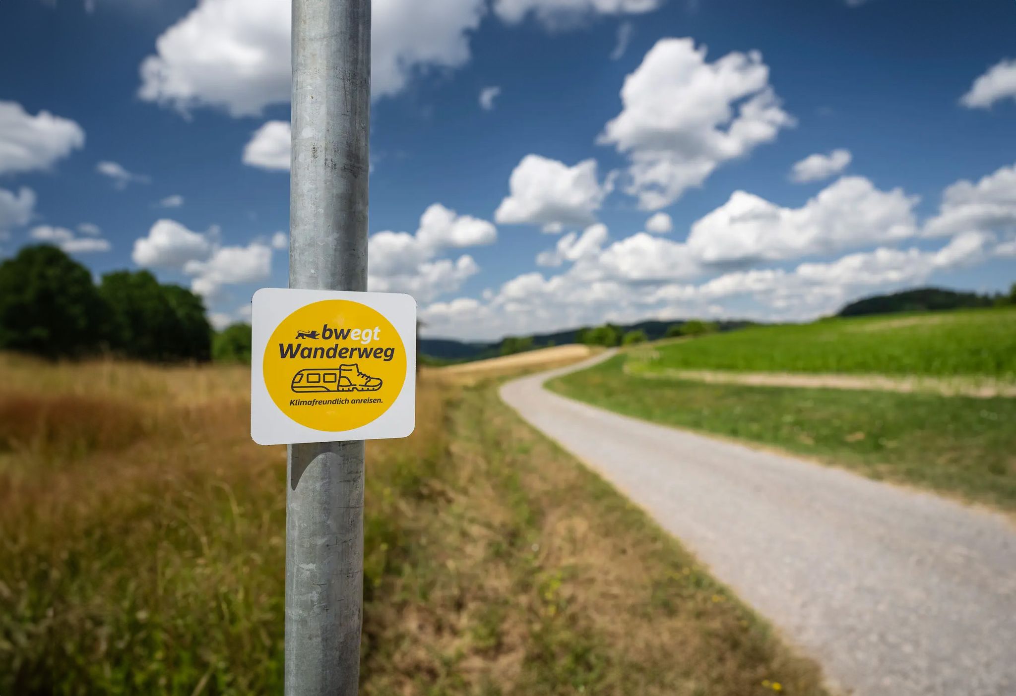
bwegt-Wanderweg – travel in a climate-friendly way, experience more
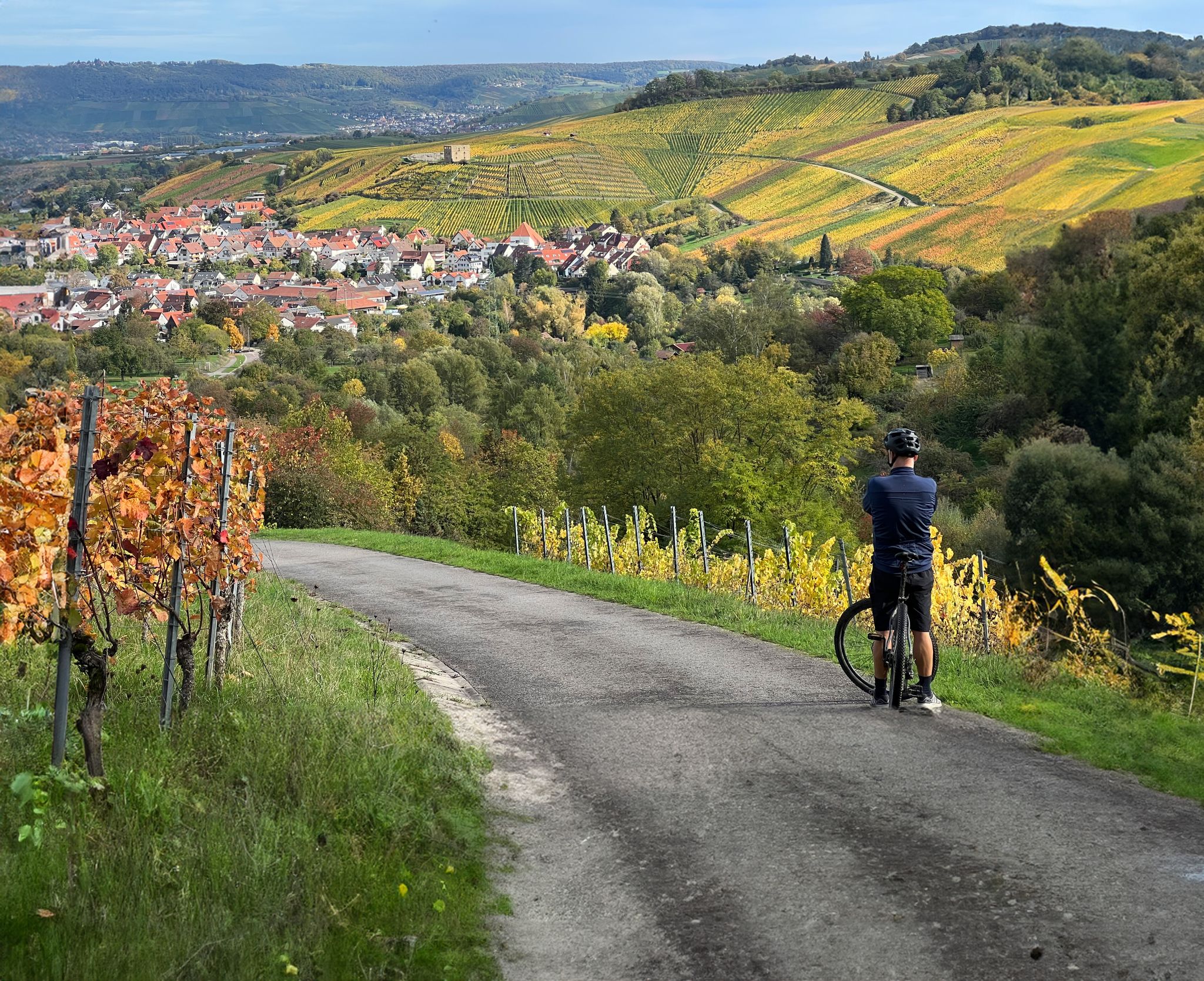
Vineyards, riversides and sunsets – cycling in the Rems Valley
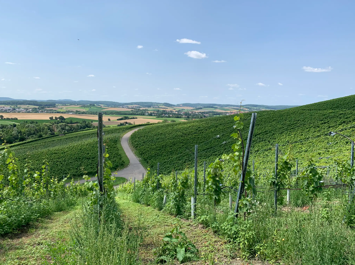
Cycle through vineyards on Germany’s Württemberg Wine Cycle Route
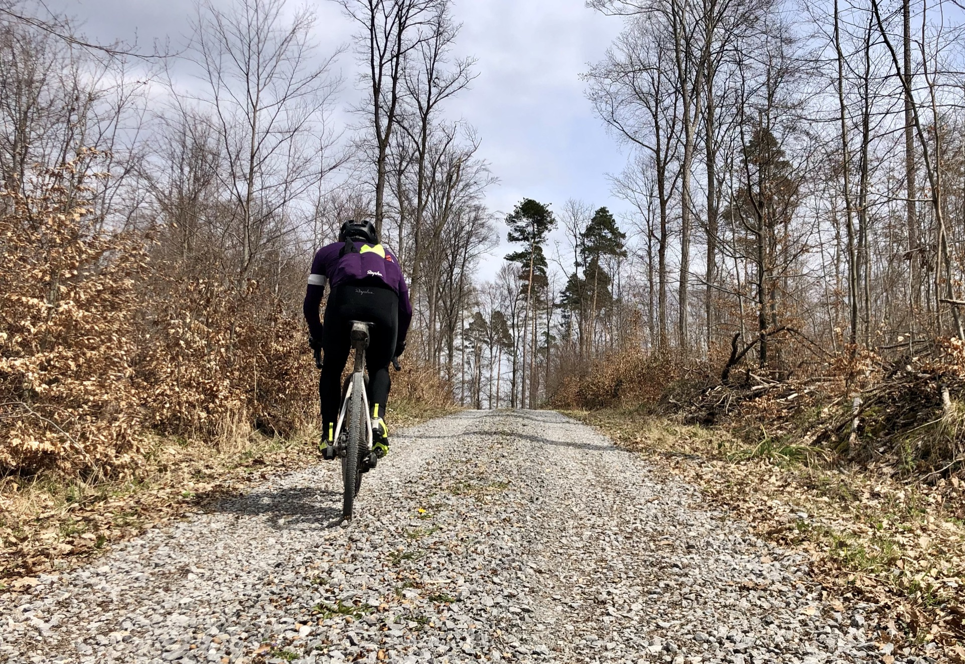
Stuttgarter Gravel Luck - Gravel Tours around the Basin
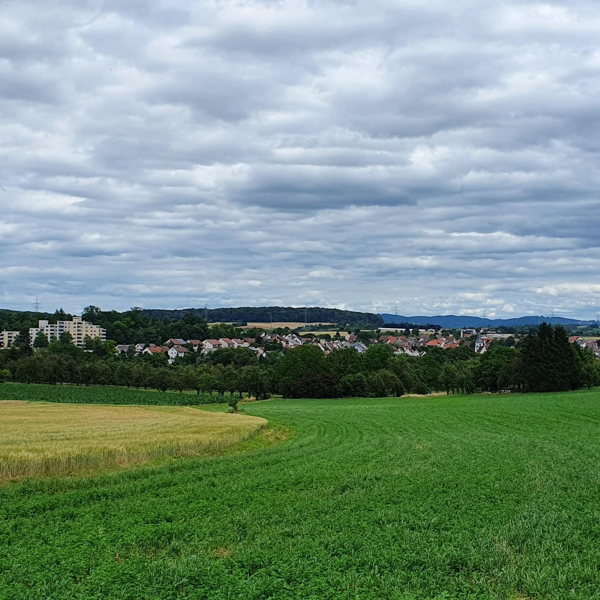
Cycling around Remseck am Neckar
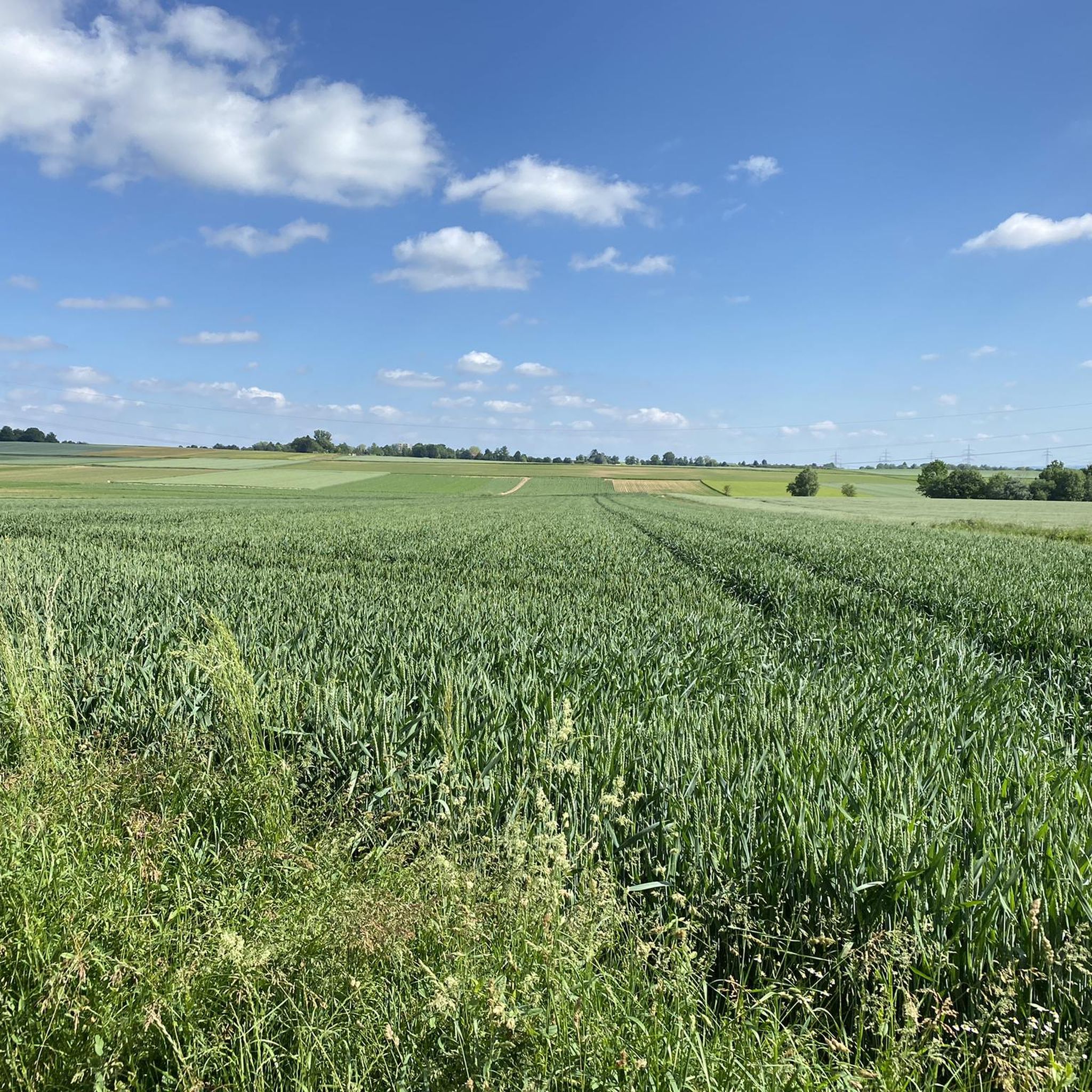
Running Trails around Remseck am Neckar

Gravel biking around Remseck am Neckar
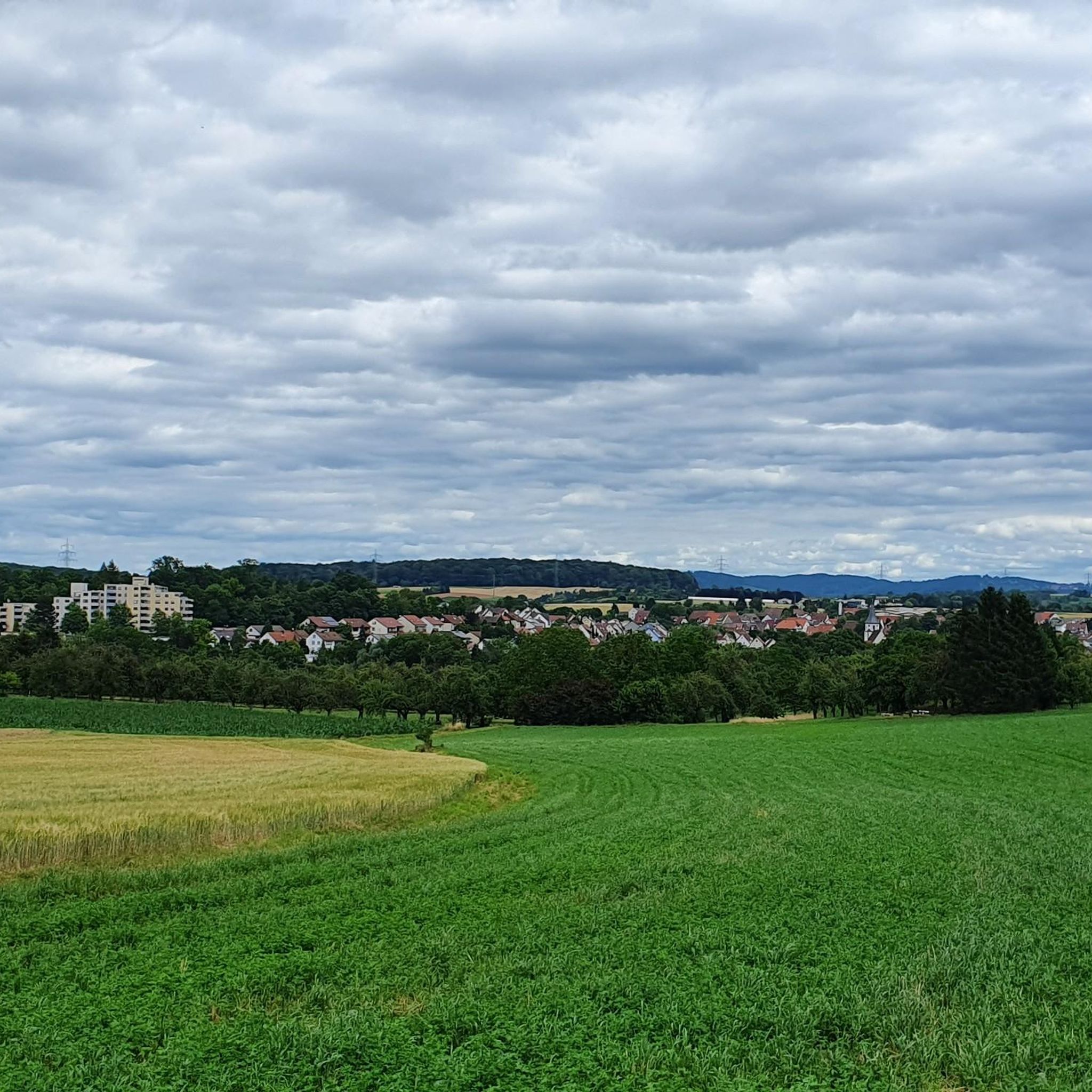
Road Cycling Routes around Remseck am Neckar
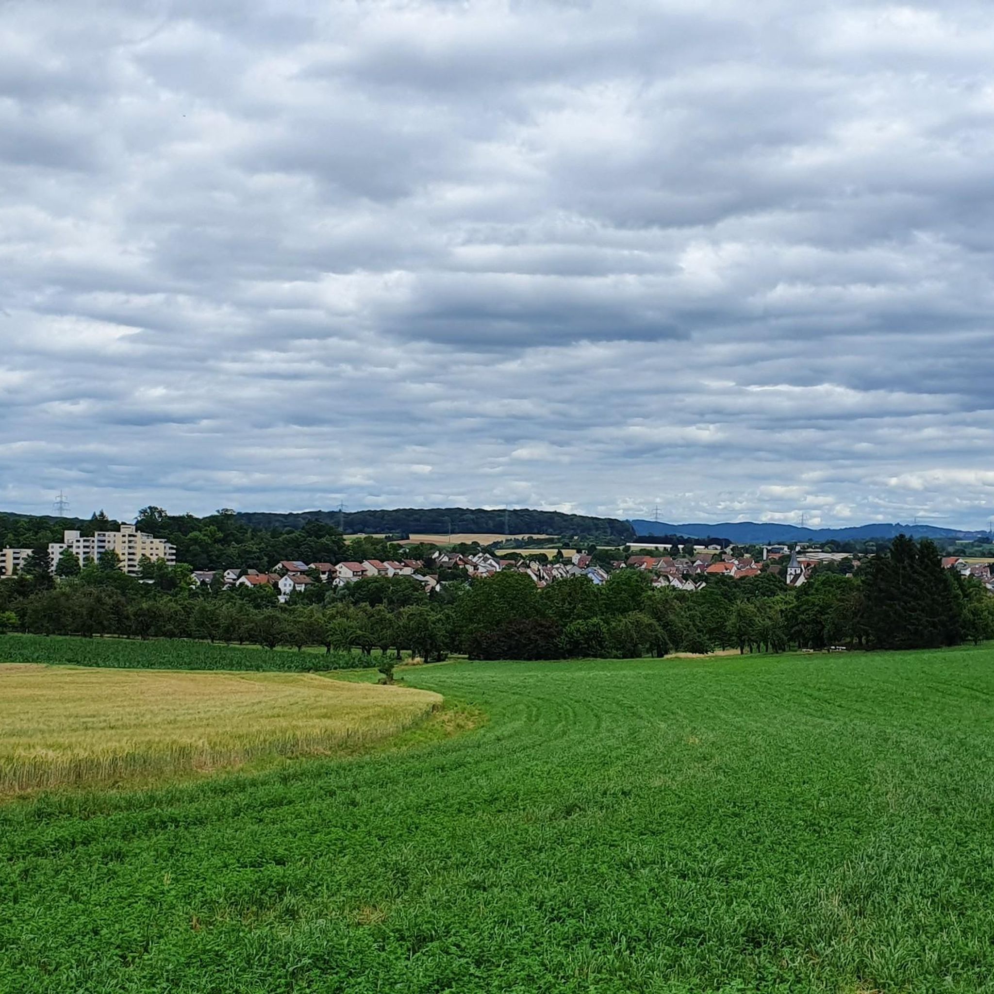
MTB Trails around Remseck am Neckar
Other adventures around Remseck am Neckar


Tips from the Community

The terraced vineyard is maintained and cultivated by volunteers. This cultural and historical gem, the only steep slope vineyard in the Waiblingen district, located at the southern end of the "Unteres Remstal" nature reserve, can thus be preserved.
7
0
Asphalted hiking and cycling path through the Lower Rems Valley with beautiful views over the Rems meadows.
8
0
The historic Vogelmühle (Bird Mill) is idyllically situated on the Rems River within the Lower Rems Valley landscape and nature reserve. It was built in 1864 by miller Lauer, along with a bakehouse. Until the late 1970s, flour was milled and bread sold at the mill, which had been acquired by Karl Vogel in the 1930s. In 1985, the property was auctioned off, and the city of Waiblingen won the bid. The Waiblingen municipal utilities took over the former mill building to harness its hydropower for electricity generation. The building and the turbine were extensively renovated.
7
0
A beautiful section of the Lower Remstal nature reserve, which at this point runs parallel to the Rems river via a meadow path.
7
1
A wonderful, natural path runs directly along the Rems river as part of the Lower Rems Valley nature reserve. There are good views of the river at various points.
5
1

The Rems meadows in the Lower Rems Valley are an absolute paradise for quiet hikes and walks.
1
0

The cycle path between Waiblingen Hegnach and Neckarrems has been permanently closed since 2024 due to erosion and landslides. A new route is currently being developed. See ADFC (German Cyclists' Association): https://rems-murr.adfc.de/artikel/remstalradweg-dauerhafte-sperrung-sorgt-fuer-diskussionen
0
1

- Beautiful path along the Rems River for pedestrians/hikers - The path is closed to cyclists - Nature reserve - There are information signs at the beginning and end of the path (unfortunately, as is often the case, not all bikers follow them 😕 - various bike lanes)!
0
0
Frequently Asked Questions
What kind of landscapes can I expect to see while hiking in Remseck am Neckar?
Remseck am Neckar offers a diverse range of landscapes, primarily shaped by the confluence of the Rems and Neckar rivers. You'll find picturesque river floodplains, extensive vineyards, and tranquil orchard meadows. The region also features sections of the Unteres Remstal Nature Reserve with unspoiled river courses and meadows, as well as routes through forests and more challenging paths leading to scenic viewpoints.
Are there many hiking trails available in Remseck am Neckar?
Yes, Remseck am Neckar boasts a comprehensive network of trails. There are nearly 100 hiking routes available, catering to various preferences and fitness levels. This includes 76 easy routes, 18 moderate, and 3 more difficult trails.
Are there any easy, family-friendly hiking options in Remseck am Neckar?
Absolutely. Many trails along the rivers are suitable for families. An easy option is the Remssteg Pedestrian Bridge – Footbridge on the Neckar near Remseck loop from Remseck Neckargröningen, which is about 5.4 km long and takes around 1 hour 24 minutes. The Neckar Valley Hiking Trail also offers relatively flat sections ideal for families.
What are some notable natural features or landmarks I can see on a hike?
The most prominent natural feature is the confluence of the Rems and Neckar rivers, particularly visible from the 'Hechtkopf' (Pike's Head). You can also explore the pristine sections of the Unteres Remstal Nature Reserve, the terraced vineyards, and the Zugwiesen Nature Reserve along the Neckar. Historic mills like the Rems Mill are also points of interest, such as on the Along the Rems – Rems Mill loop from Remseck Neckargröningen route.
Are there any circular hiking routes in Remseck am Neckar?
Yes, there are several circular routes available. For example, the View of the confluence of the Rems and the Neckar – Rems–Neckar Wooden Bridge loop from Remseck is an easy 5.2 km loop that offers views of the river confluence and the Rems-Neckar Wooden Bridge.
What do other hikers say about the trails in Remseck am Neckar?
The trails in Remseck am Neckar are highly regarded by the komoot community, with an average rating of 4.3 out of 5 stars from over 600 reviews. Hikers often praise the varied terrain, the scenic river views, and the well-maintained paths.
Are there any longer or more challenging hikes in the area?
For those seeking a longer and more challenging experience, the Rems–Neckar Wooden Bridge – Poppenweiler Lock and Weir loop from Remseck Neckargröningen is a difficult 19.3 km route. This trail involves more significant elevation changes and offers a more strenuous adventure.
Can I reach hiking trails in Remseck am Neckar using public transport?
Remseck am Neckar is generally well-connected by public transport, making it possible to access many trailheads without a car. It's advisable to check local bus and train schedules for specific starting points of your chosen route.
Are there any castles or historical sites near the hiking trails?
Yes, the region has historical significance. Remseck Castle, a neo-Gothic structure, is situated on a promontory above the river confluence. Further afield, you can explore other historical sites like Ludwigsburg Residential Palace or the Yburg castle ruins.
What is the best time of year to go hiking in Remseck am Neckar?
Remseck am Neckar is enjoyable for hiking throughout much of the year. Spring and autumn offer pleasant temperatures and beautiful scenery, with blooming orchards in spring and vibrant foliage in autumn. Summer is also popular, especially for riverside walks, while winter can offer peaceful, crisp hikes, though some paths might be muddy or icy.
Are there any specific viewpoints or panoramic spots along the trails?
Many trails offer excellent views, particularly where the Rems and Neckar rivers meet. Paths leading to higher ground, such as those towards the Burial Chapel on the Württemberg, reward hikers with panoramic vistas of the surrounding landscapes, including vineyards and river valleys.
Most popular routes around Remseck am Neckar
Most popular attractions around Remseck am Neckar

Get inspired with the komoot mobile app


Explore more
Browse the best Hikes in other regions.
