The best road cycling routes around Remchingen
4.5
(1323)
18,202
riders
13
rides
Road cycling around Remchingen offers varied landscapes at the edge of the Black Forest and within the Pfinztal valley. The region is characterized by the Pfinz River and its tributaries, alongside extensive forests such as the Buchwald and Hegenach. Cyclists encounter a mix of flat river paths and routes with moderate elevation gains through picturesque hills. This area provides diverse terrain suitable for various road cycling preferences.
Best road cycling routes around Remchingen
- The most popular road cycling route is…
Last updated: October 2, 2026
40
riders
55.4km
02:24
420m
420m
Moderate road ride. Good fitness required. Mostly well-paved surfaces and easy to ride.
5.0
(3)
25
riders
Moderate road ride. Good fitness required. Mostly well-paved surfaces and easy to ride.

25
riders
Easy road ride. Great for any fitness level. Mostly well-paved surfaces and easy to ride.
21
riders
Easy road ride. Great for any fitness level. Mostly well-paved surfaces and easy to ride.
5.0
(1)
22
riders
Moderate road ride. Good fitness required. Mostly well-paved surfaces and easy to ride.
Get access to more routes and recommendations from other explorers.
Already have an account?
Our route recommendations are based on thousands of hikes, rides, and runs completed by other people on komoot.
Start today with a free account
Your next adventure awaits.
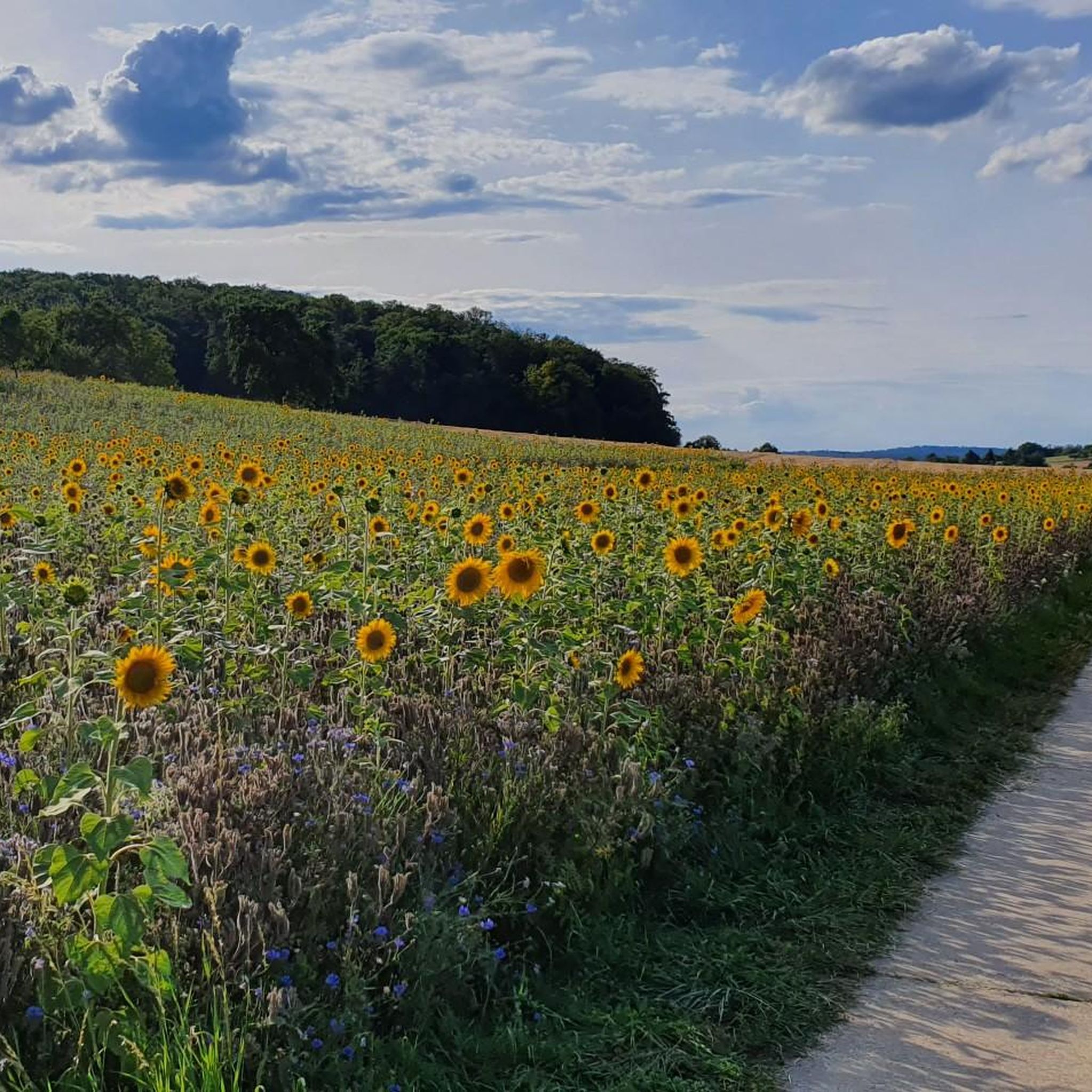
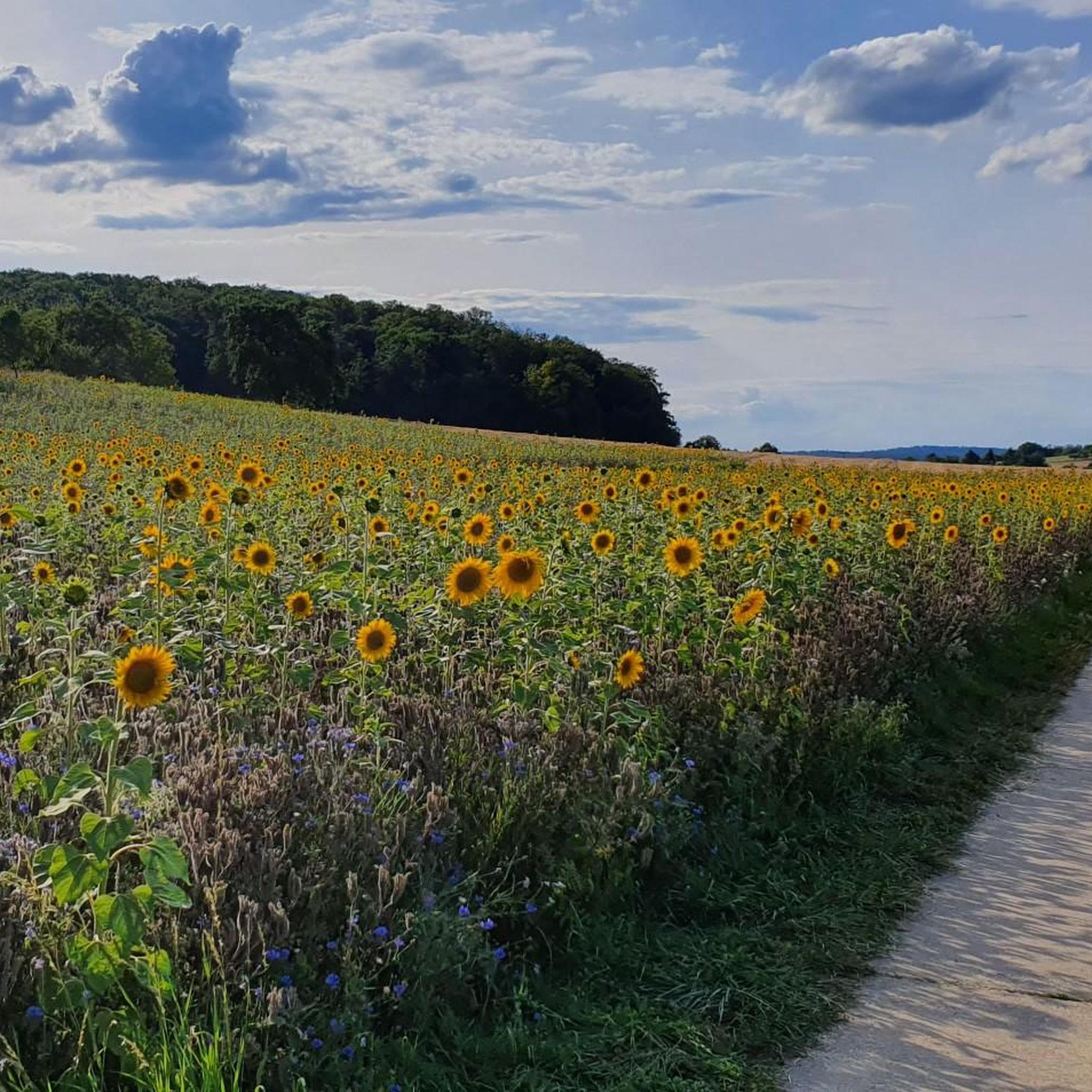
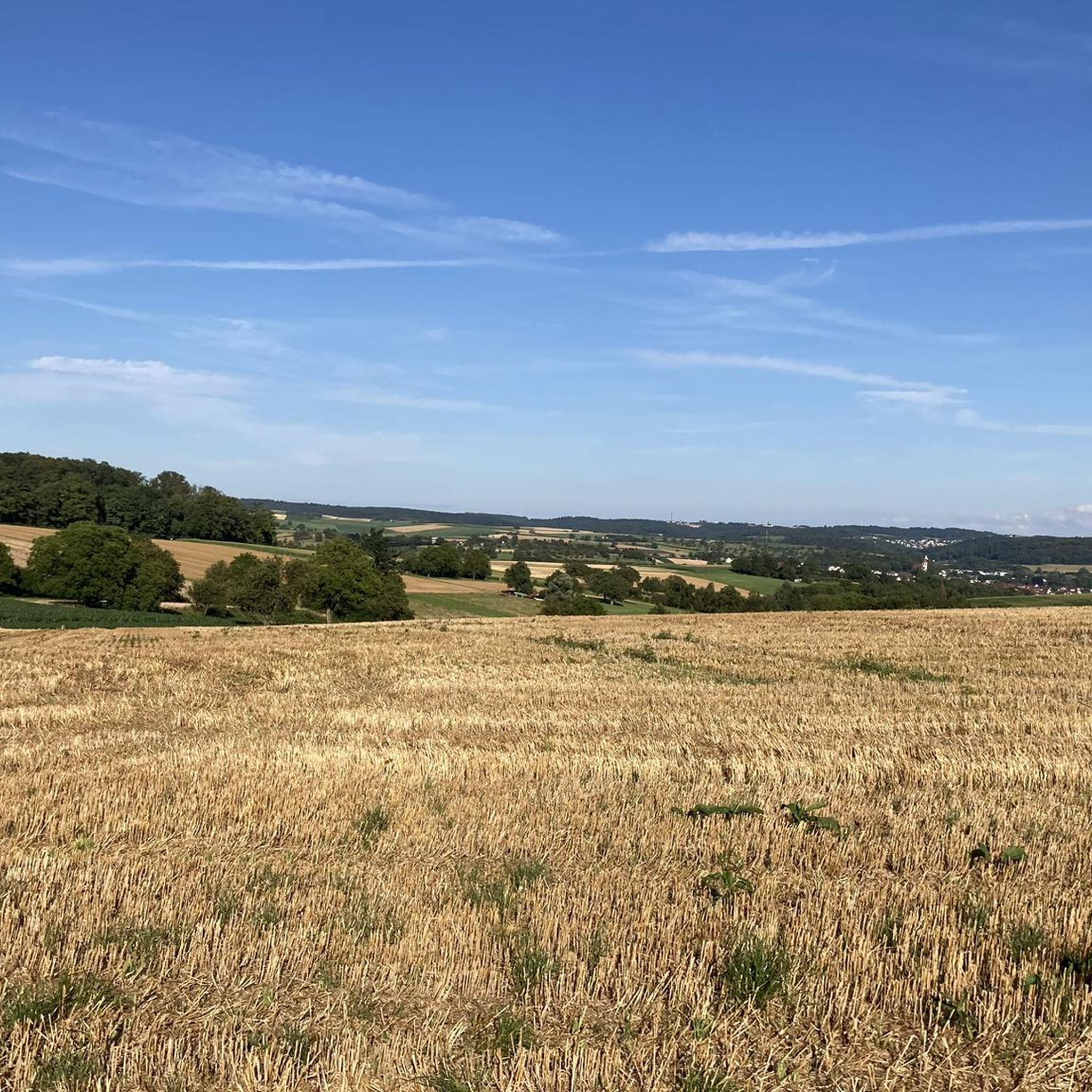
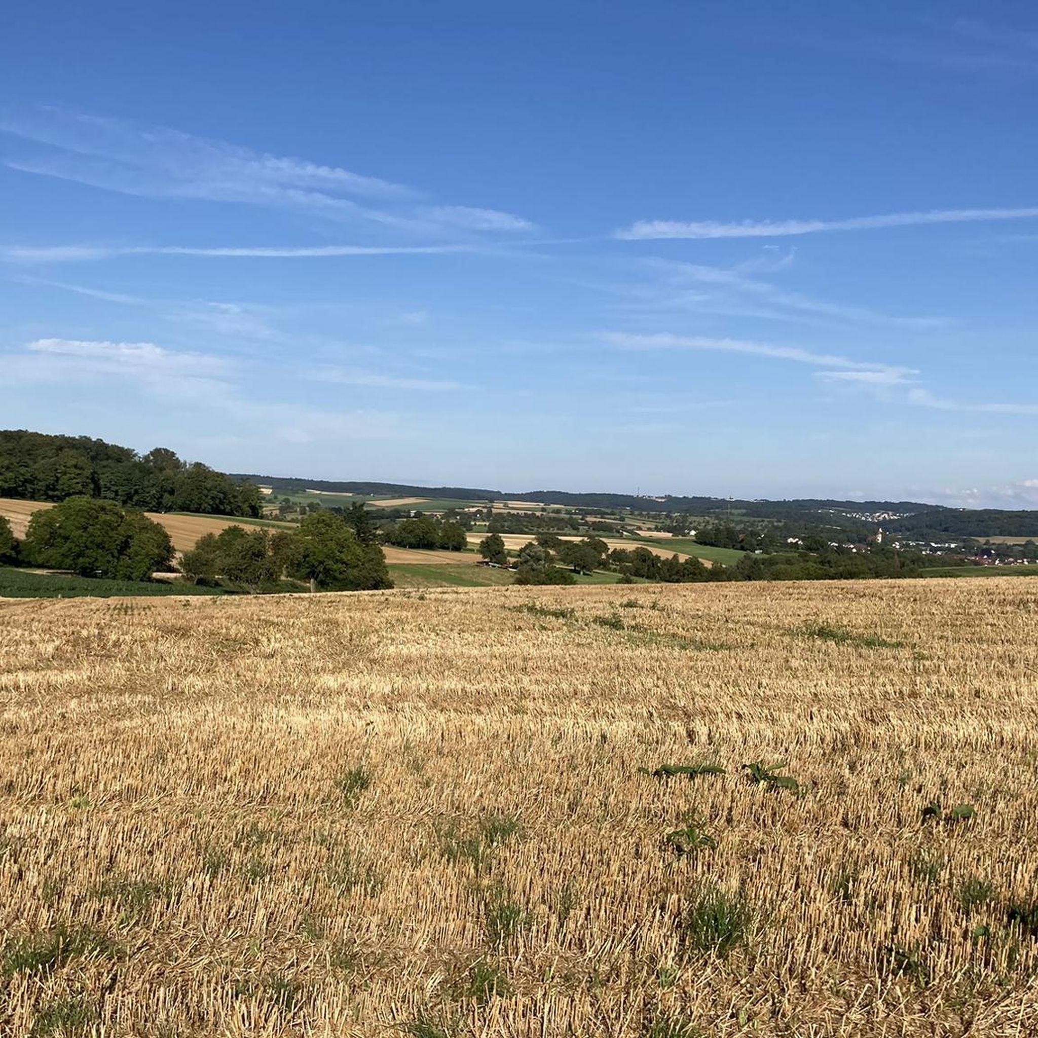
Tips from the Community

The renovated Kelter (wine press house) dates from the 15th century. In addition to archaeological finds and testimonies of local history, the permanent exhibition displays objects that illustrate traditional living conditions in the countryside. A living room and bedroom provide insight into the peasant household. Alongside old crafts, including the typical local production of jewelry and watches, the museum's focus is on viticulture.
4
0


Beautiful resting place for a break with a view.
0
0

A beautifully designed rest area at an old crossroads.
0
0

Small overpass, stones a little wobbly 😇😎
0
0

Beautiful cycle path along the Pfinz
0
0

New road surface - going down is fun!
0
0

Follow the green cycling signs! Well signposted!
0
0
Frequently Asked Questions
How many road cycling routes are available around Remchingen?
There are over 10 road cycling routes around Remchingen listed on komoot, catering to various skill levels. These include easy river paths and more challenging routes with significant climbs.
What kind of terrain can I expect on road cycling routes in Remchingen?
Road cycling in Remchingen offers varied terrain, from mostly flat paths along the Pfinz River to routes with moderate elevation gains through picturesque hills. The region is situated at the edge of the Black Forest and within the Pfinztal valley, providing a diverse and scenic backdrop.
What is the best time of year for road cycling in Remchingen?
Remchingen benefits from a relatively mild climate, making it pleasant for road cycling for much of the year. Spring, with its blooming flora, and autumn, when the deciduous forests display vibrant colors, are particularly appealing times to explore the routes.
Are there road cycling routes suitable for beginners in Remchingen?
Yes, Remchingen offers several easy road cycling routes. For instance, the Schnellermühle and Pfinzwehr – Grötzingen Market Square loop from Wilferdingen-Singen is an easy 15.3-mile (24.5 km) trail, and the Pfinz River – Grötzingen Market Square loop from Wilferdingen-Singen is another easy option following the river.
Can I find challenging road cycling routes in Remchingen?
While many routes offer moderate climbs, there are options for more challenging rides. The region's proximity to the Black Forest and its varied topography mean you can find routes with significant elevation gains, requiring good fitness. For example, the View of the Rhine Plain – Pfinzauen near Nöttingen loop from Wilferdingen-Singen is a moderate 30.4-mile (48.9 km) trail with notable elevation.
Are there circular road cycling routes in Remchingen?
Yes, many of the road cycling routes in Remchingen are designed as loops, allowing you to start and end at the same point. Examples include the Schnellermühle and Pfinzwehr – Grötzingen Market Square loop from Wilferdingen-Singen and the Descent to Gondelsheim – Gondelsheim Castle loop from Wilferdingen-Singen.
What natural features or landmarks can I see while road cycling in Remchingen?
The region is rich in natural beauty. You can cycle along the Pfinz River and its tributaries, through extensive forests like the Buchwald and Hegenach, and enjoy views of the picturesque Pfinztal valley. Some routes, like the View of the Rhine Plain – Pfinzauen near Nöttingen loop from Wilferdingen-Singen, offer expansive vistas.
Are there any castles or historical sites along the road cycling routes?
Yes, the area around Remchingen has historical points of interest. For example, the Descent to Gondelsheim – Gondelsheim Castle loop from Wilferdingen-Singen passes by Gondelsheim Castle. The broader region also features natural monuments and other castles, adding to the exploratory potential.
What do other road cyclists say about the routes in Remchingen?
The road cycling routes in Remchingen are highly rated by the komoot community, with an average score of 4.5 stars from over 1,100 reviews. Cyclists often praise the varied terrain, scenic views, and the well-maintained paths that make for an enjoyable experience.
Are there places to stop for refreshments or food along the routes?
Remchingen and its surrounding villages offer various cafes, pubs, and restaurants where you can stop for refreshments. Many routes pass through or near these communities, providing convenient opportunities to refuel during your ride.
Is parking available near the road cycling routes in Remchingen?
Yes, parking is generally available in and around Remchingen, particularly in the larger towns and near popular starting points for routes. It's advisable to check specific starting locations for designated parking areas.
How accessible are the road cycling routes in Remchingen by public transport?
Remchingen is part of the regional public transport network, making some starting points accessible by train or bus. Wilferdingen-Singen, a common starting point for several routes, has good connections, allowing cyclists to reach the area without a car.
Most popular routes around Remchingen
Most popular attractions around Remchingen

Get inspired with the komoot mobile app


Explore more
Browse the best Road cycling routes in other regions.
